
Quick report
- Cracking
- specific
Rainfall from last Saturday helped the snowpack to some degree, but didn't remove all her weaknesses. The upper crust is thin and breakable and will likely not add a bridging effect to a bigger load above. The lower portion of the snowpack seems less concerning at present and weak layers failures seem confined to the upper one to two feet of the snowpack. The new snow that sits above the upper crust is already beginning to break down and facet under cold air temperatures.
Soft slab cracking above the 12/7 rain crust on steeper convex rolls but none on more planar slopes.Weather
- Cloud Cover
- obscured
- Wind Loading
- light
- Recent Snowfall
- 13
- Snow Avail For Transport
- moderate amounts
Heavy fog along the ridgelines with brief pokes of blue skies overhead. Light winds to start the tour, then increased around 1 pm. The uptick in westerly winds contributed to light drifting - mostly above 6,000 feet.
Snowpack
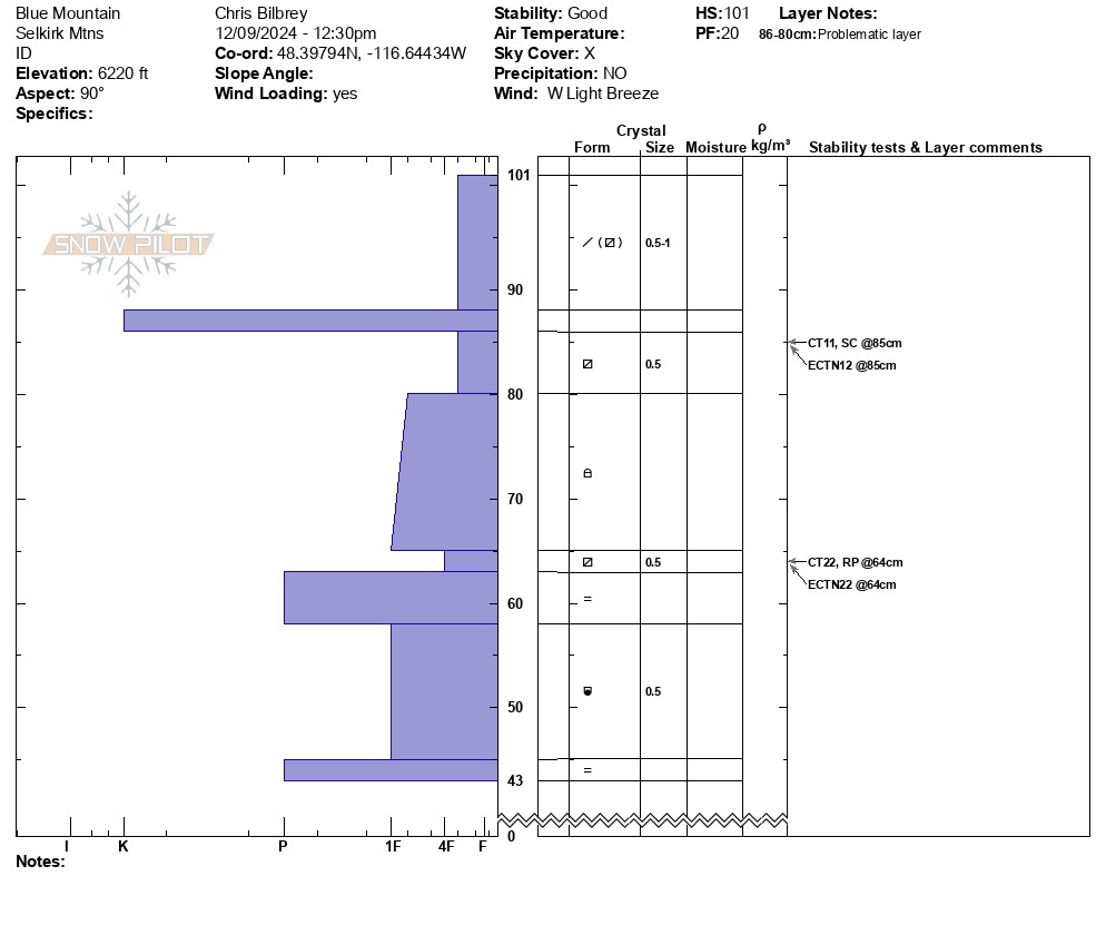
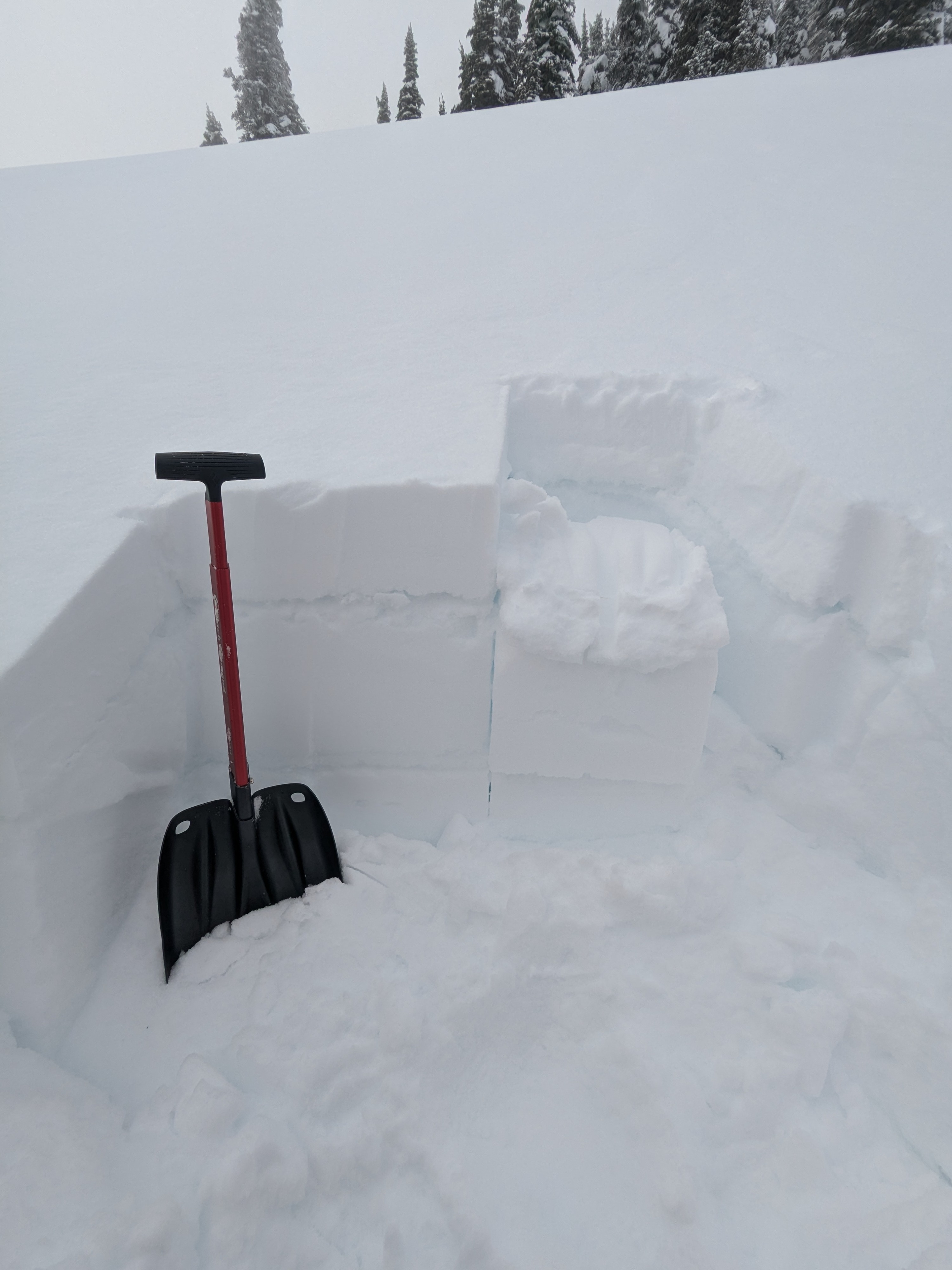
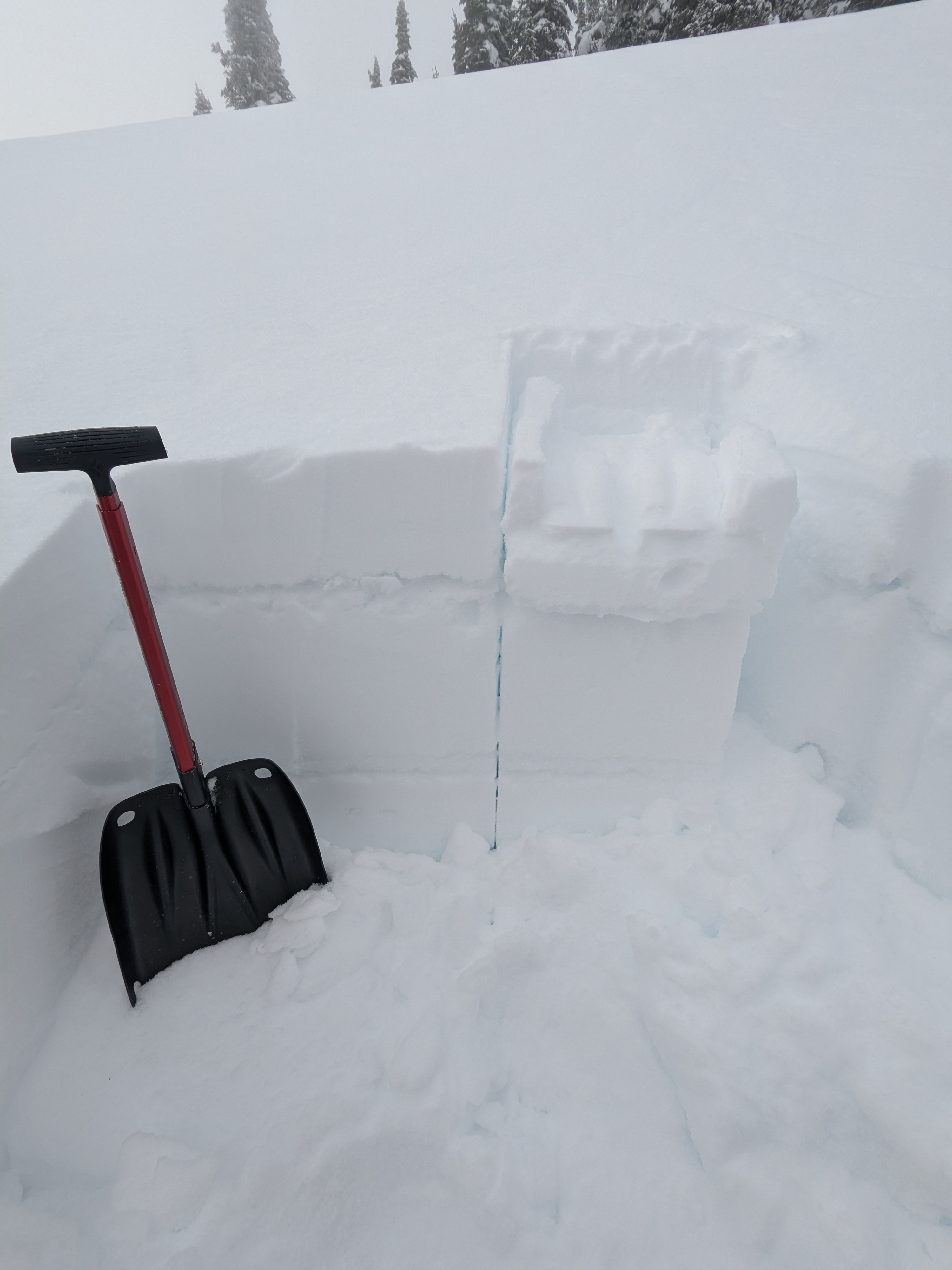
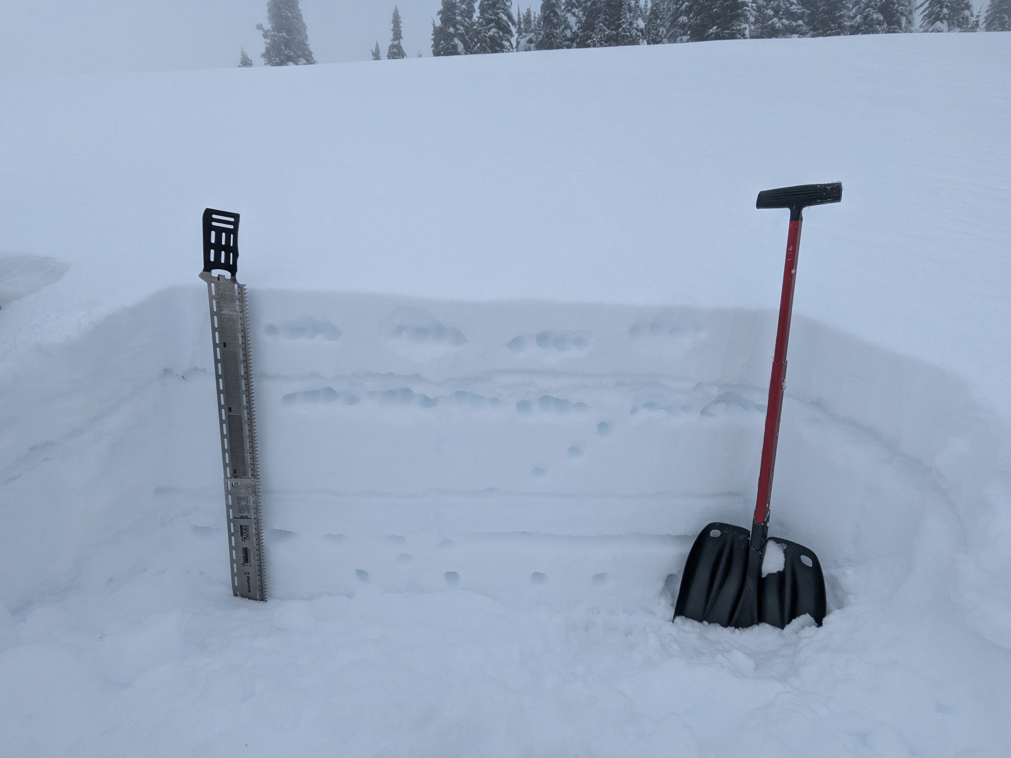
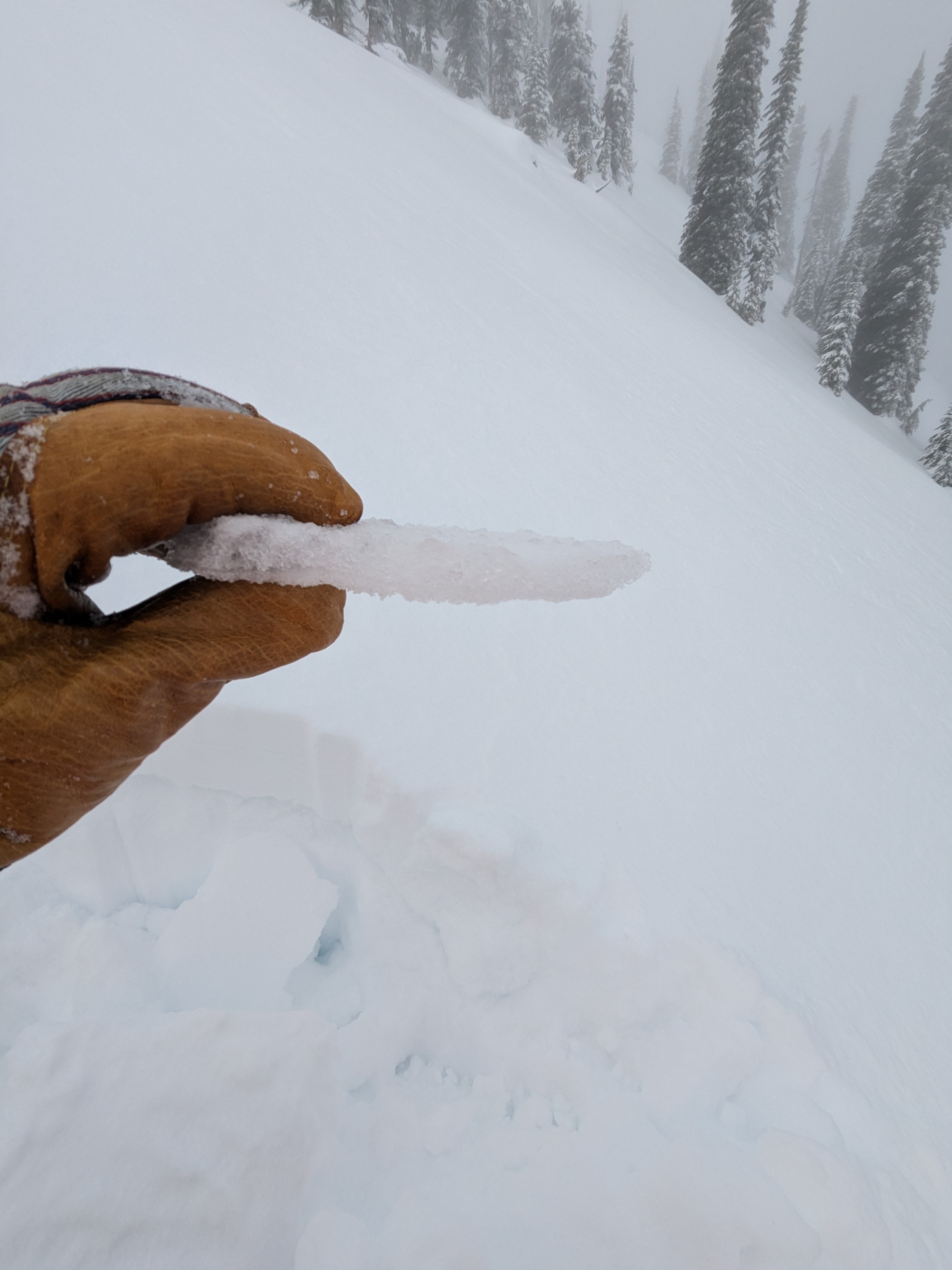
The rain crust from last Saturday's (12/7) was much thinner than we expected. It was mostly 1 to 2 cm thick and knife hard, but we easily punched through with our boots despite it being supportive to skis. It appears this areas received enough rain to beat down the old Surface Hoar and we could see refrozen feathers in the crust via the loupe. Below the crust, weak facets remain intact (4F-) and will be the next weak layer to contend with once a larger load forms above the 12/7 crust. Facets above the 12/23 rain crust are beginning to round, but we did find a thin layer sitting directly above the crust that still has mostly angled edges and produced CTRP failures with moderate force. It seems like we'll need a significant load or major rain-on-snow event to provoke failure around the 12/23 rain crust and thin interface. We did not dig to the ground. Probing deeper yielded mostly hard and farily continuous layering to the ground.