
Quick report
With the faceted rain crusts buried deeper in the snowpack, and the AR crust sitting over 3 feet deep, the most likely scenarios for a skier to invoke a failure and trigger an avalanche on these layers would be either finding a shallow spot in the snowpack- near rocky, steep slopes, or areas where the snowpack is shallower from getting scoured by winds. A machine trenching down in the snow would be able to have a greater influence on these deeply buried layers.
Sun-exposed surfaces became moist and sticky. Small rollerballs released on steep slopesWeather
- Air Temp
- 33
- Cloud Cover
- scattered
- Wind Loading
- previous
- Rain Elevation
- Not observed
- Recent Snowfall
- Not observed
- Snow Avail For Transport
- moderate amounts
Another nice, mild, and blue sky day. Clouds began building in the late afternoon.
Snowpack
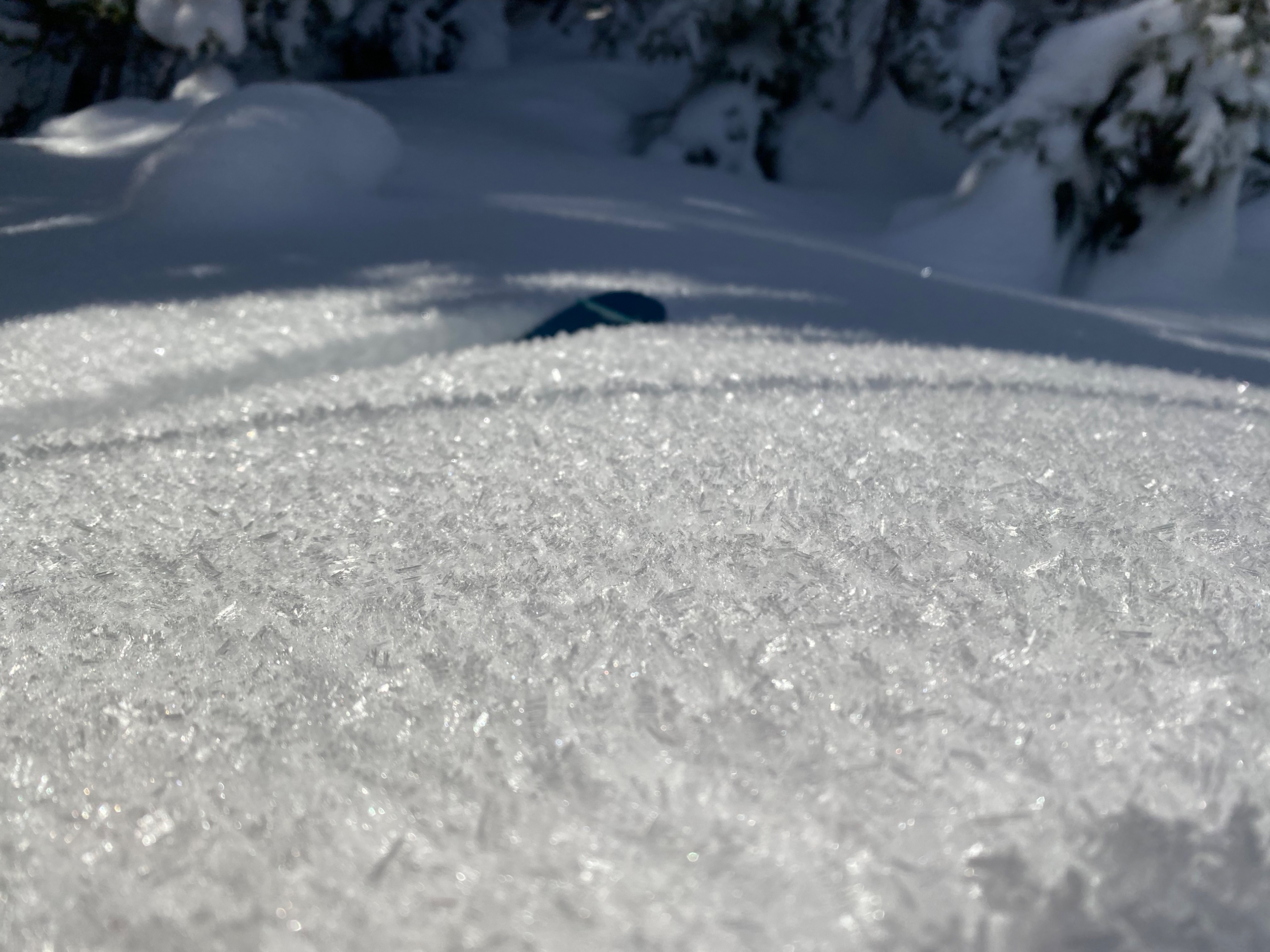
Variable surface conditions were observed at different aspects and elevations. Shaded and sheltered slopes had soft, dry snow, while sun-exposed aspects began to moisten and become sticky to skis. A brittle and breakable surface crust could be felt sporadically in places that had received sunshine from the previous days and refroze at night. Surface hoar has been growing in shaded areas, with the largest feathers and most connectivity on primarily north-facing slopes.
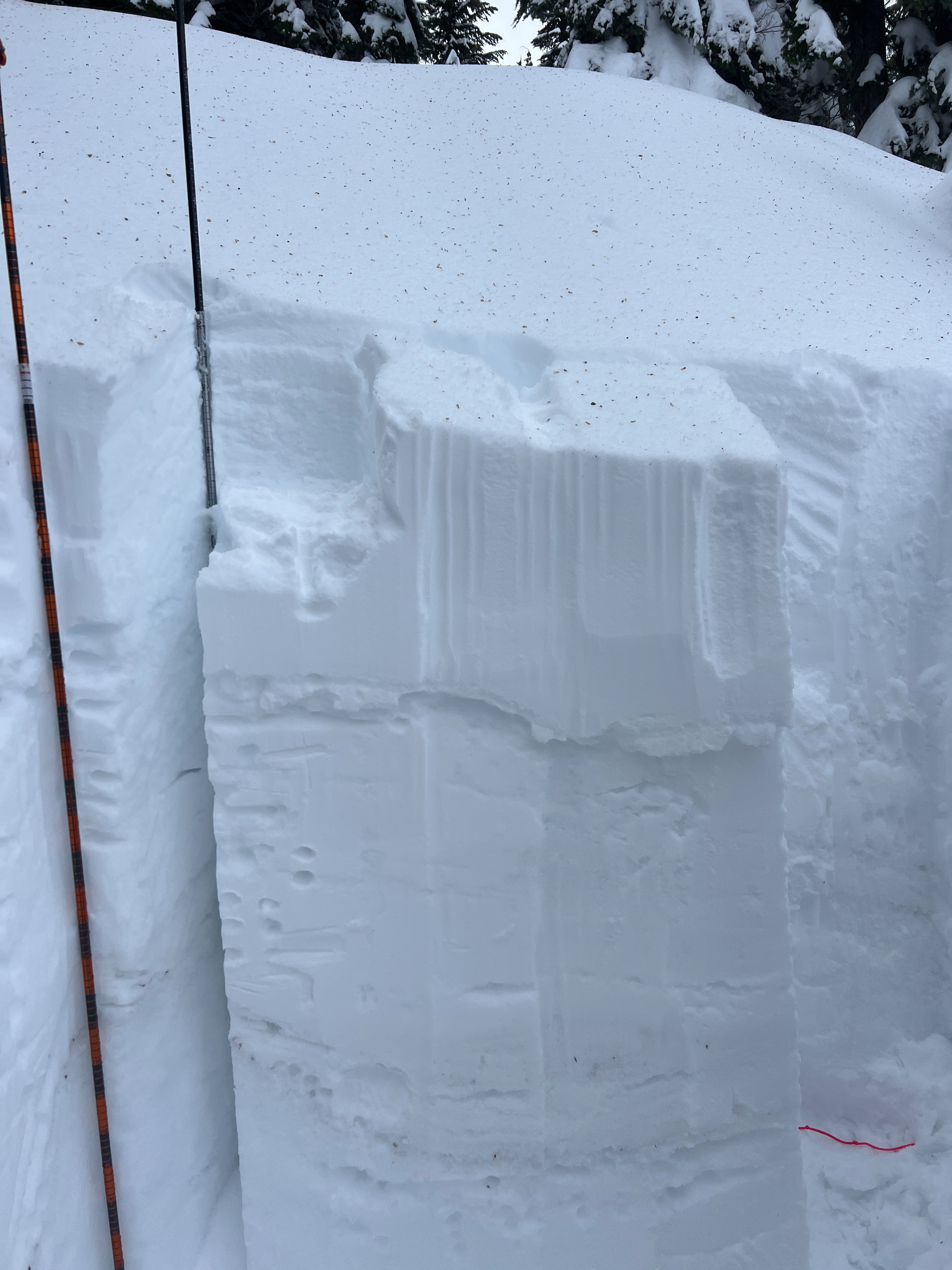
On a northeast-facing slope just shy of 6300', the HS was 206cm in a previously wind-loaded area. The Grinch crust was approximately 54cm down. Below that, the snowpack consisted of mostly rounding facets with the previous December rain crusts sandwiched in. At this point, the crusts are breaking down enough that they are similar in hardness to the layers both above and below them.
Compression tests yielded two results with moderate and hard force- one within the first 30cm of the most recent snow, and the other at the AR crust. ECTX.
Avalanche
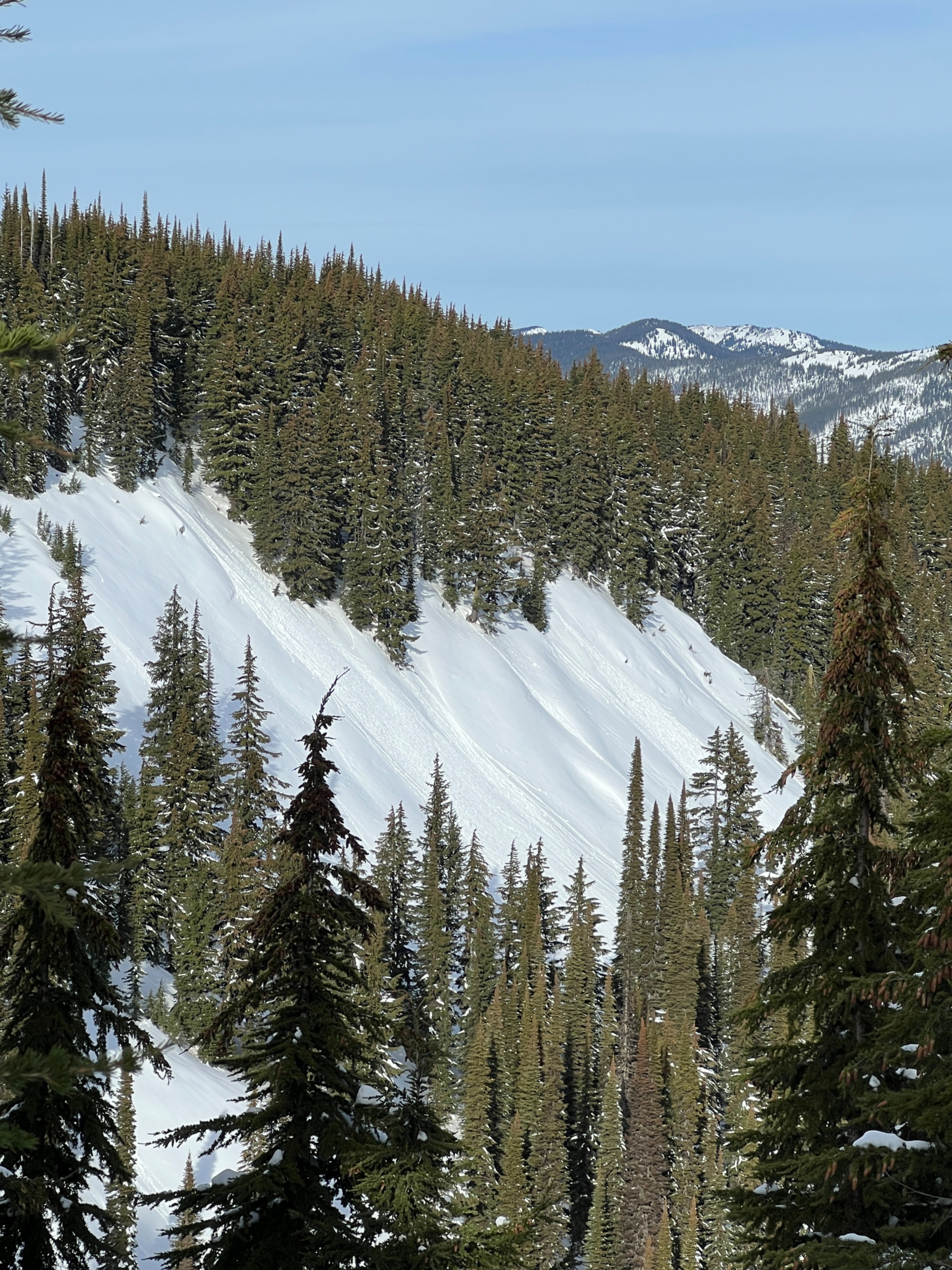
None observed