
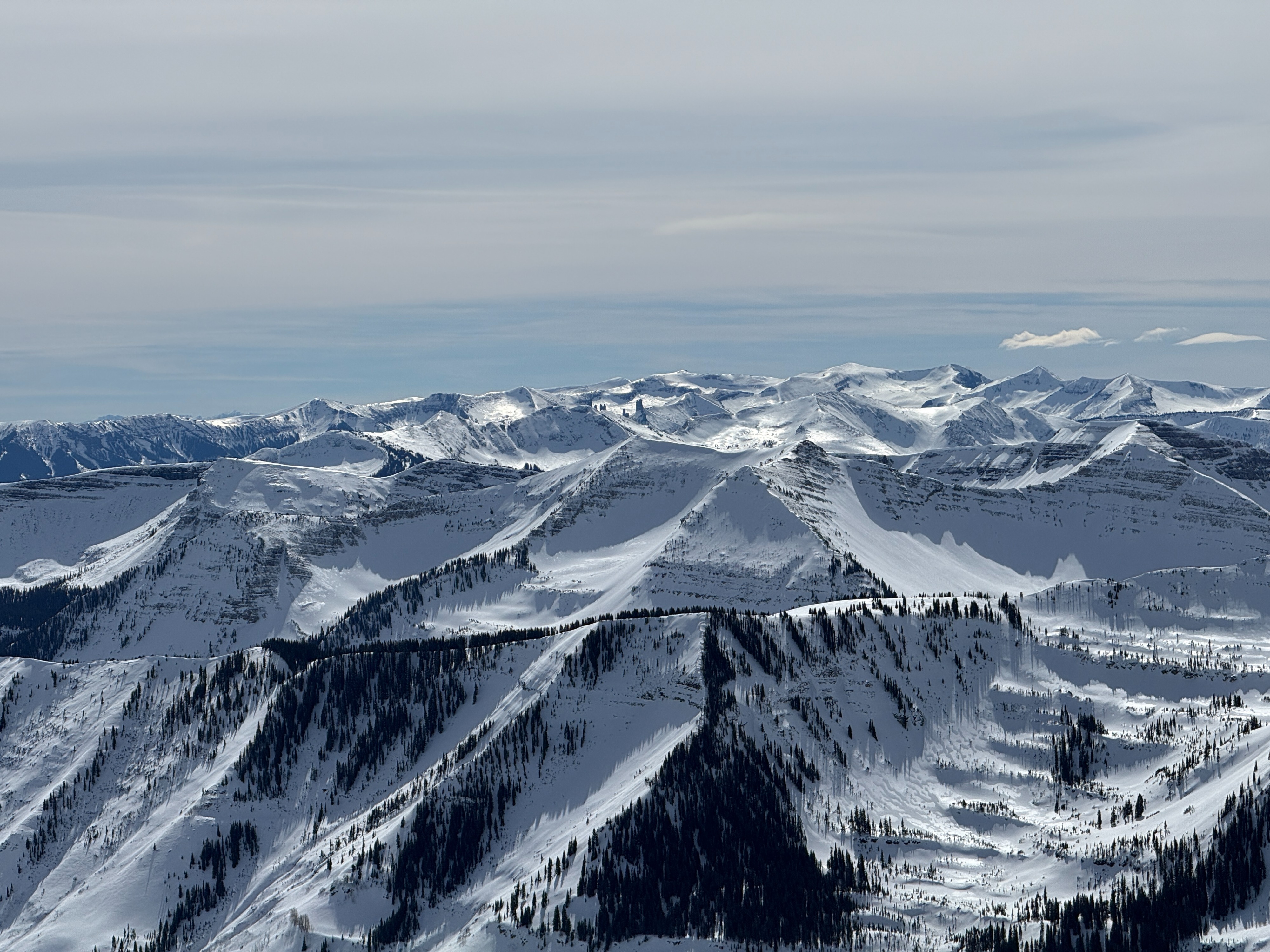
Quick report
We observed no signs of instability on our tour, but very poor structure can be found on northerly aspects and some southerly features near and above treeline. I would place little trust in the snowpack on the north half of the compass...it's becoming harder to trigger a slide, but the consequences remain severe if you do. Conditions soften just enough for us to enjoy ok turns on south features above treelin.
The rain line from Wednesday appears to reach the summit of most peaks in the region and likely created poor riding conditions on northerly slopes. Seems like a good reason to avoid the most suspect aspects in the coming days.
Weather
- Cloud Cover
- scattered
- Wind Loading
- none
- Recent Snowfall
- 4
- Snow Avail For Transport
- small smounts
Thin, high clouds covered much of the sky. Light winds with a few moderate gusts. No snow transport observed.
Snowpack
We toured on southerly slopes near and above treeline. Surface crusts (melt/freeze and rain ice) softened a small amount and didn't introduce meltwater into the snowpack. A profile on a southeast feature near 11,800 feet showed a dry slab from the late February storm capped by a crust (see image). The mid-February storm snow faceted beneath a crust and could create a problem as meltwater drains into the snowpack in the future. A profile on a northeast feature at 11,600 feet produced an ECTP 23 on the February drought layer (see image). This structure is unlikely to provide feedback until you trigger a dangerous avalanche.
We skied/toured across a few low-angle easterly features in the area without signs of instability, but pole probing confirmed poor structure.
The rain crust was observed at our high point at ~12,600 feet. At this elevation, the ice layer was about 6mm thick.
Avalanche
- Size
- D2
- Type
- SS
- Count
- 3
- Aspect
- SW
- Trigger
- N
- Elevation
- 12700 ft
A few recent avalanches from the rain on snow event on Wednesday and wind loading on Thursday.