
Quick report
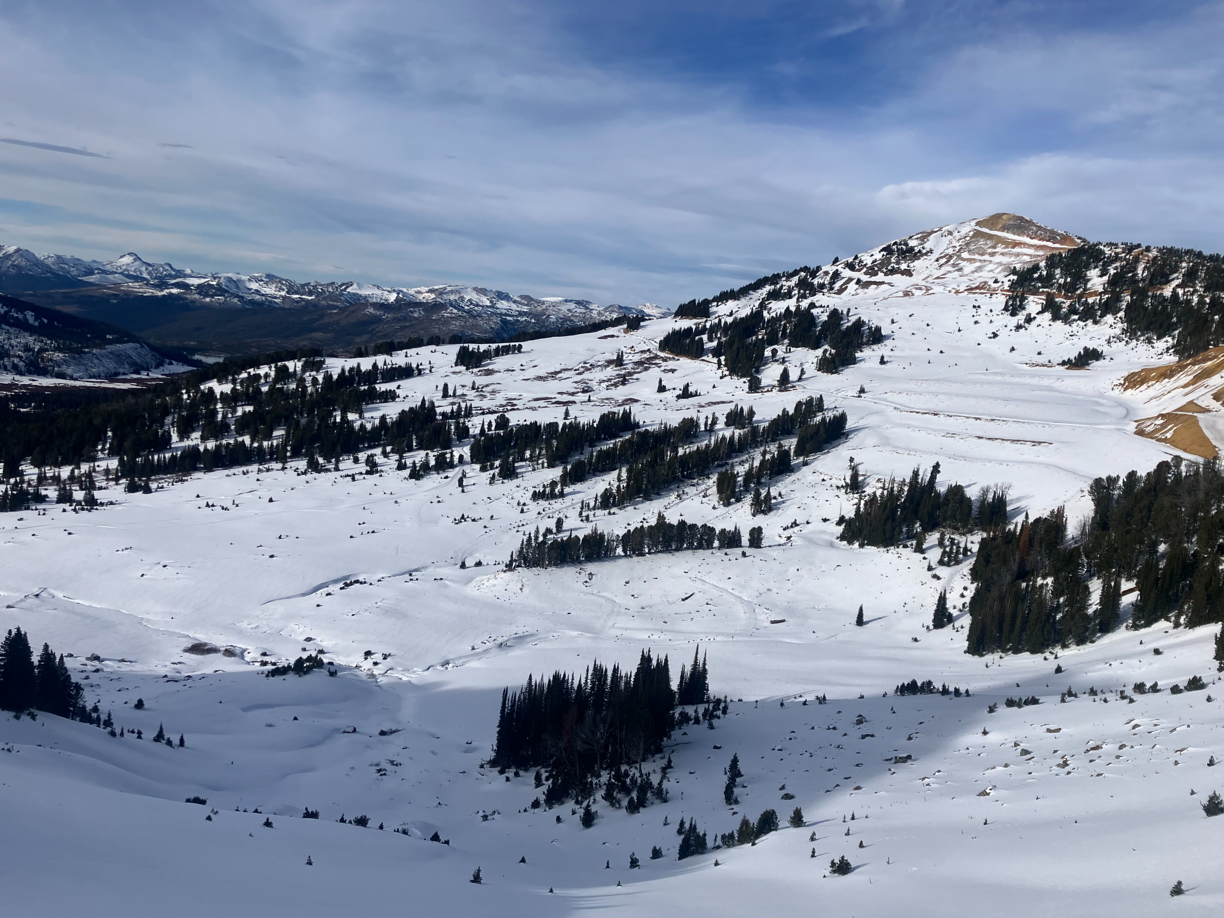
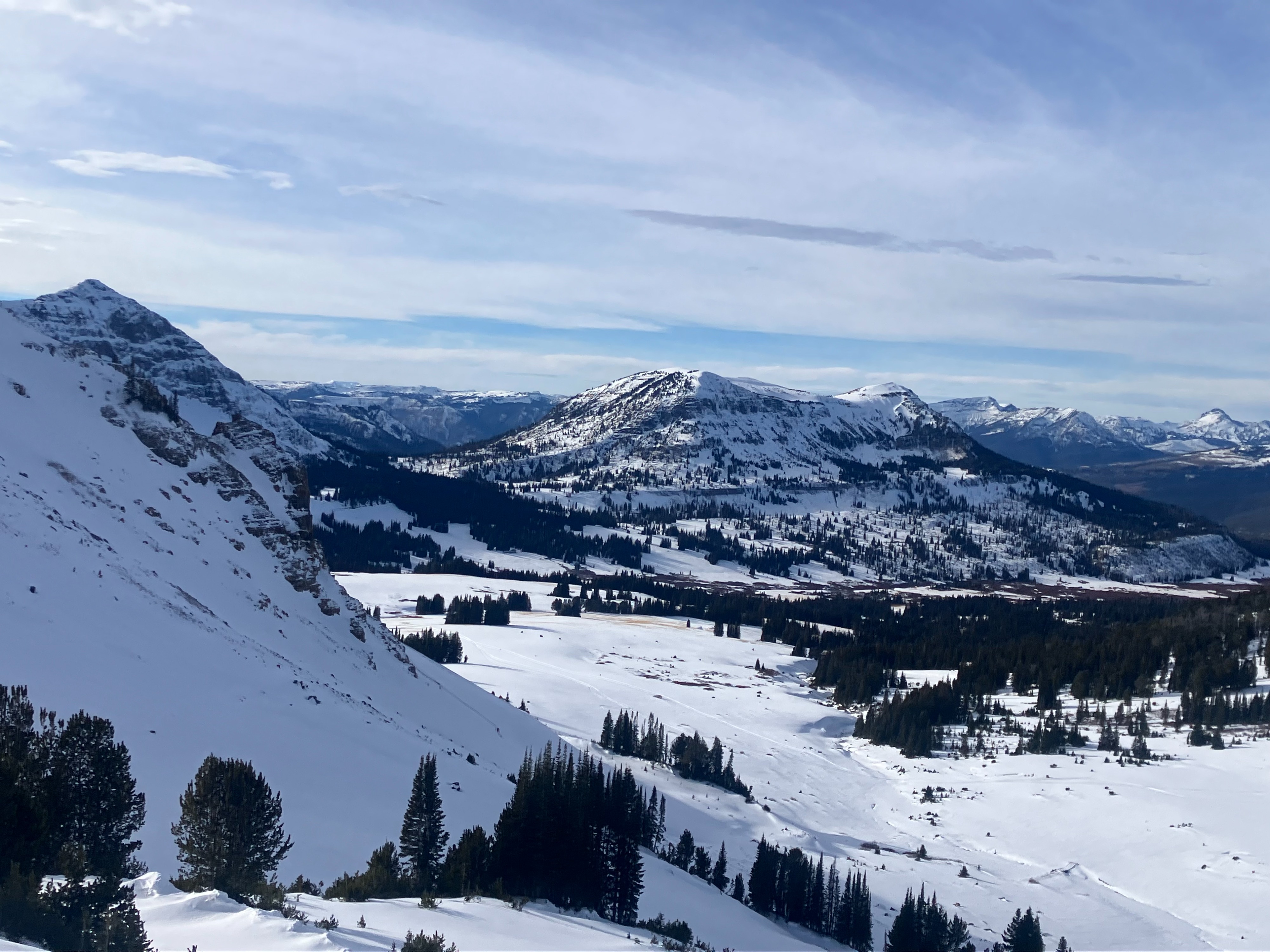
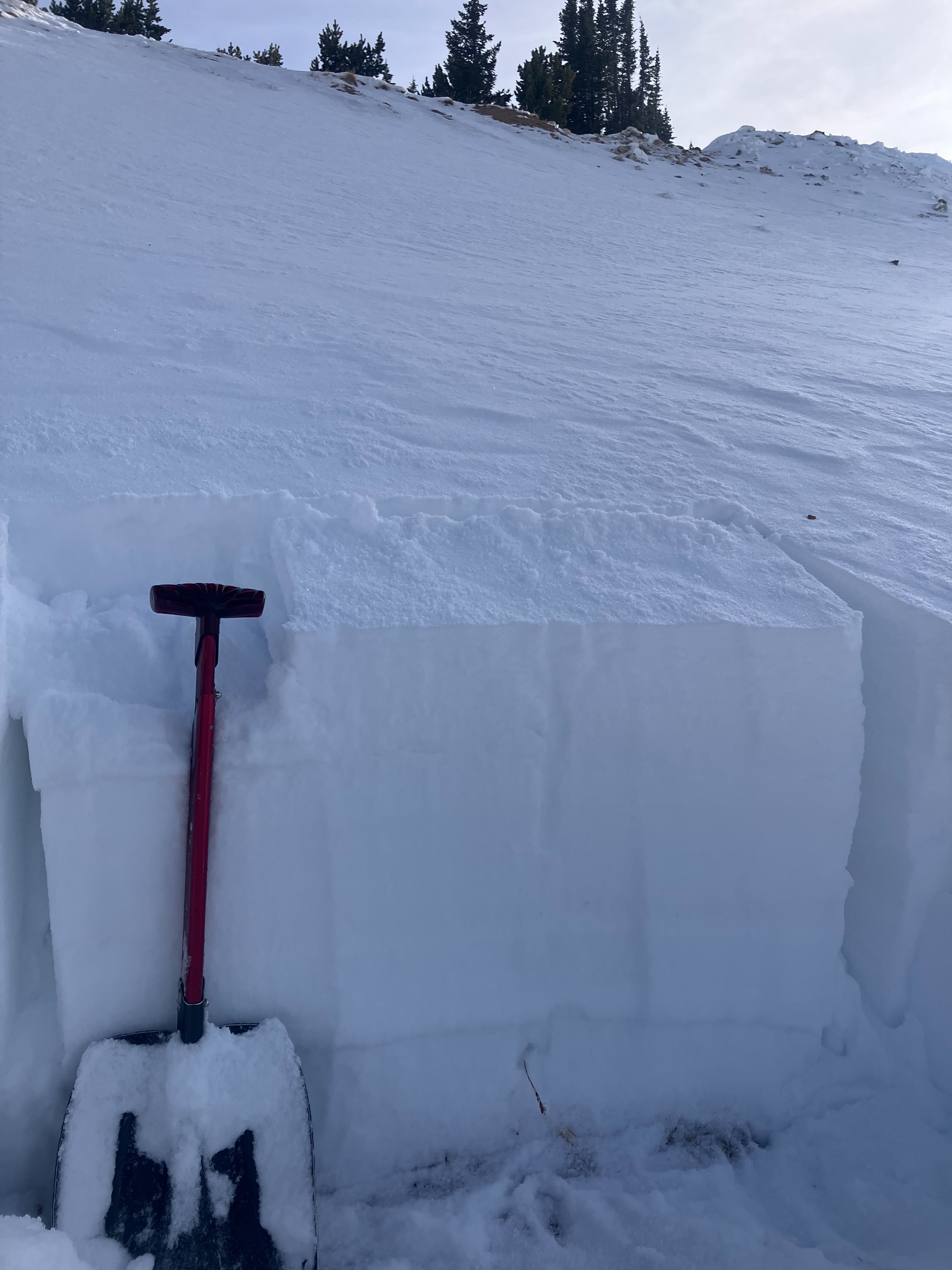
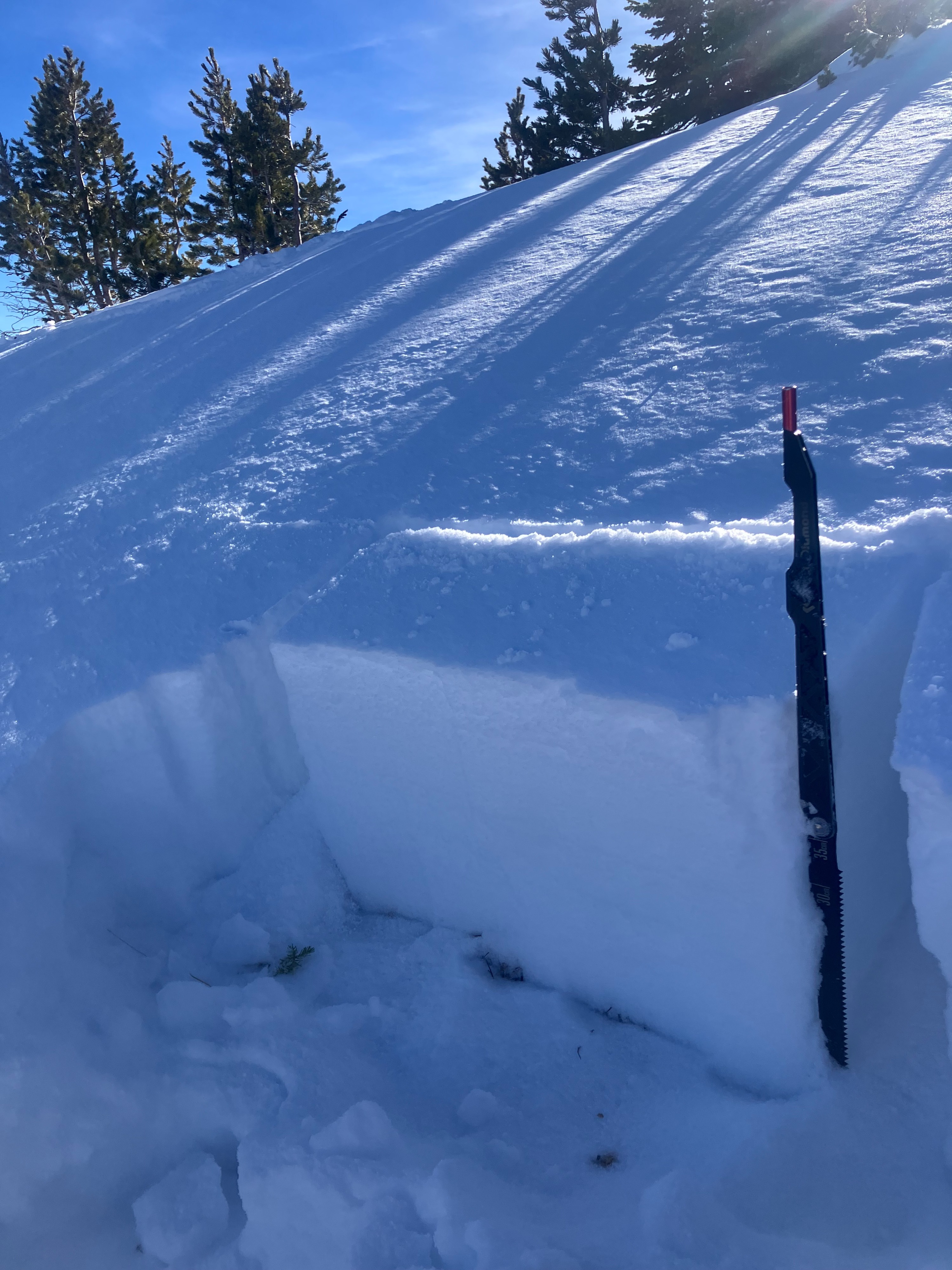
Above 8,500' average snow depths are 6" to 1.5 feet deep, and up to 2 feet on higher, shady or wind-loaded slopes. A layered snowpack exists. Below 8,500' depth is 0-12".
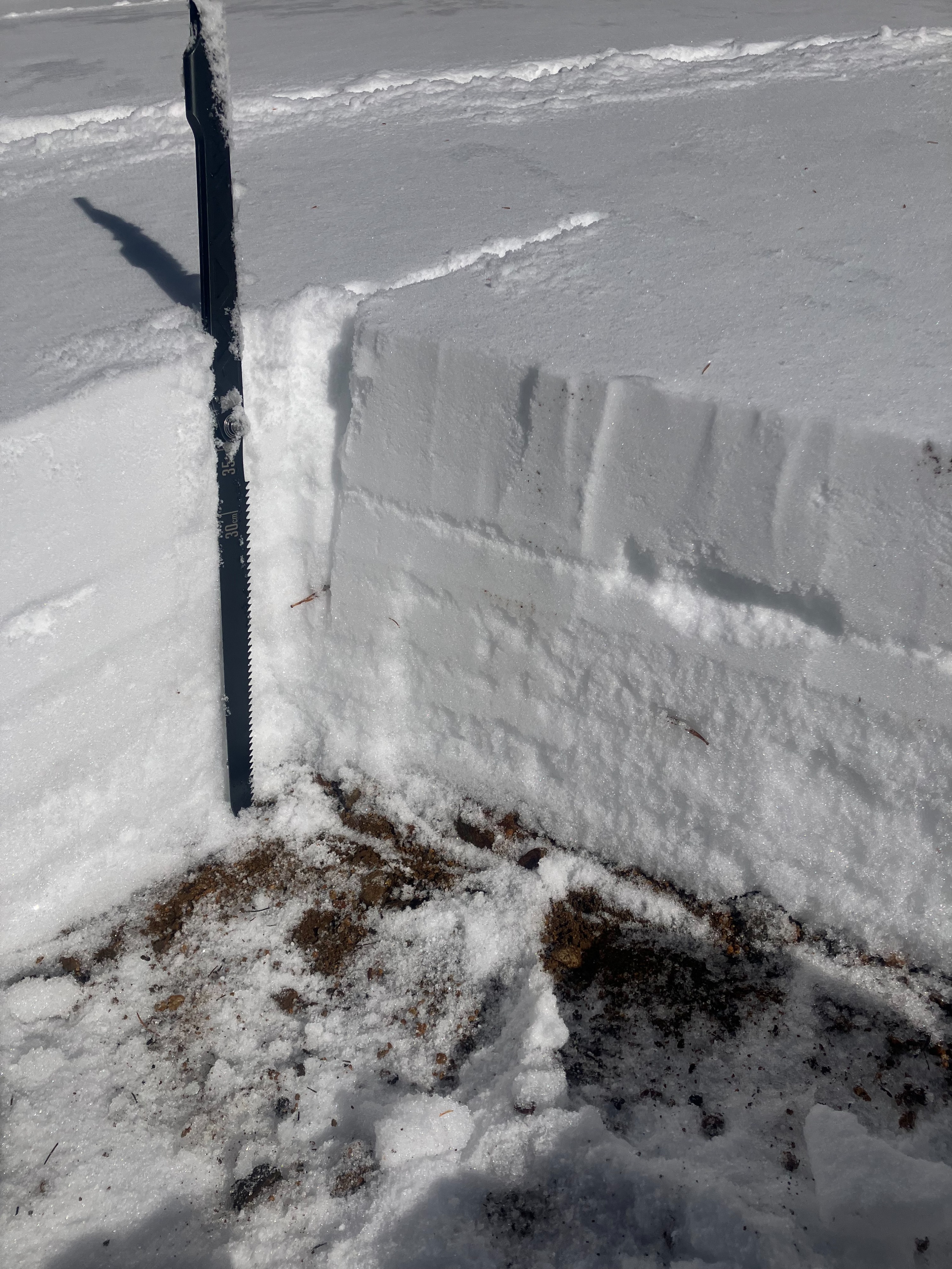
On west and south slopes there is a melt-freeze crust on the ground ranging from 2" to 12" thick. Above that was 1-2" of small facets, under a thin crust below 3-4" of new snow. I did not observe east/southeast facing slopes, but I assume structure is generally similar there (BPG shared info yesterday from a southeast aspect at 9,600' which had a similar structure).
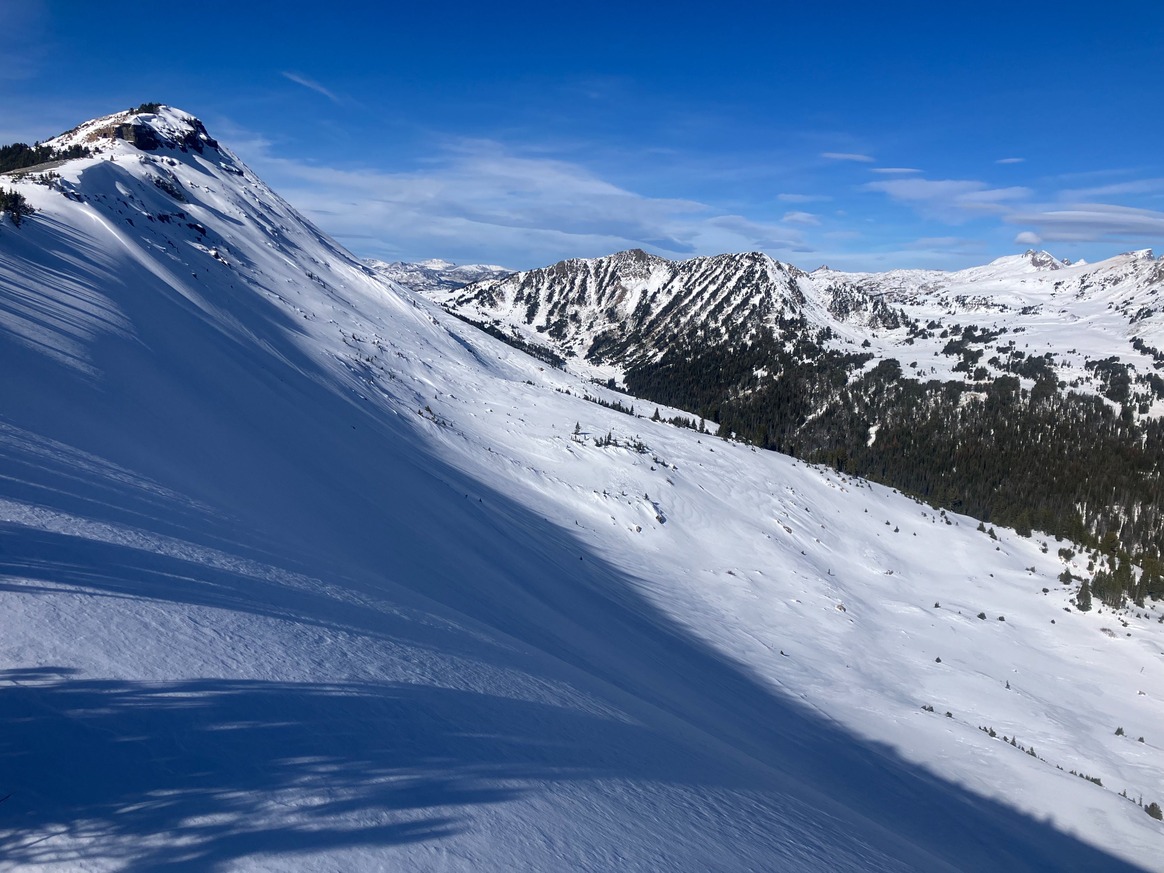
On north and northeast facing slopes above 9,500' there were no melt-freeze crusts, the snowpack had more weak, sugary, faceted layers through the middle and at the bottom, and there was up to 6" of new snow on top.
On steeper solar slopes the snow surface got moist after noon. Lower angle and shady slopes stayed dry. A few pinwheels initiated near exposed rocks/dirt on steep south-southwest facing slopes.
(I did not travel below 9,500' on northerly slopes. I mainly observed the snowpack on S, SW, W, NE, and N facing slopes up to 10,100 feet.)
Mostly clear. Very calm. Cold morning, warm afternoon.
Weather
- Air Temp
- 29
- Cloud Cover
- few
- Wind Loading
- light
- Recent Snowfall
- 10-15
- Snow Avail For Transport
- moderate amounts
Mostly clear. very calm. Cold morning, warm afternoon.
Snowpack
Above 8,500' average snow depths are 6" to 1.5 feet deep, and up to 2 feet on higher, shady or wind-loaded slopes. A layered snowpack exists. Below 8,500' depth is 0-12".
On west and south slopes there is a melt-freeze crust on the ground ranging from 2" to 12" thick. Above that was 1-2" of small facets, under a thin crust below 3-4" of new snow. I did not observe east/southeast facing slopes, but I assume structure is generally similar there (BPG shared info yesterday from a southeast aspect at 9,600' which had a similar structure).
On north and northeast facing slopes above 9,500' there were no melt-freeze crusts, the snowpack had more weak, sugary, faceted layers through the middle and at the bottom, and there was up to 6" of new snow on top.
On steeper solar slopes the snow surface got moist after noon. Lower angle and shady slopes stayed dry. A few pinwheels initiated near exposed rocks/dirt on steep south-southwest facing slopes.
(I did not travel below 9,500' on northerly slopes. I mainly observed the snowpack on S, SW, W, NE, and N facing slopes up to 10,100 feet.)