
Quick report
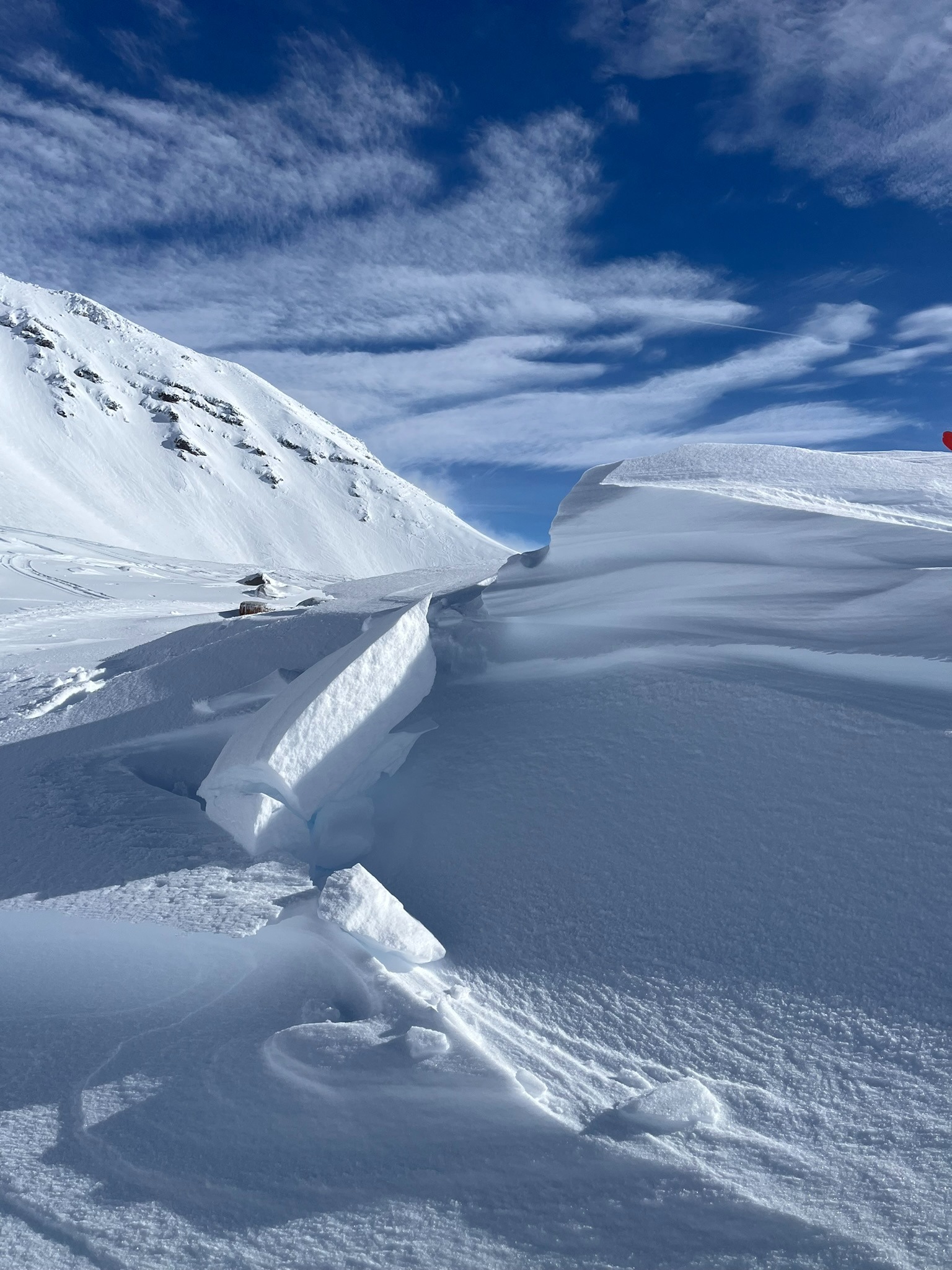
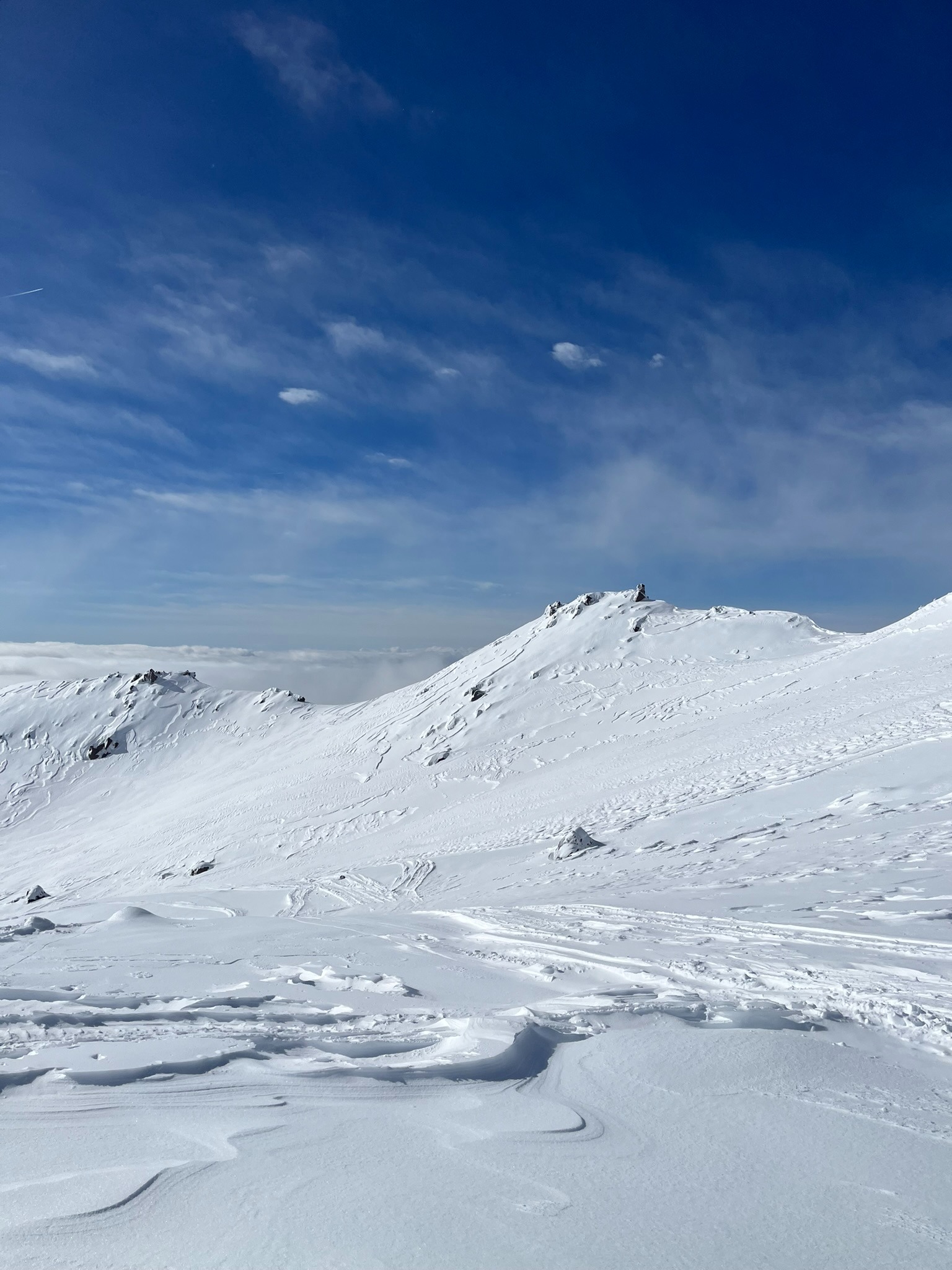
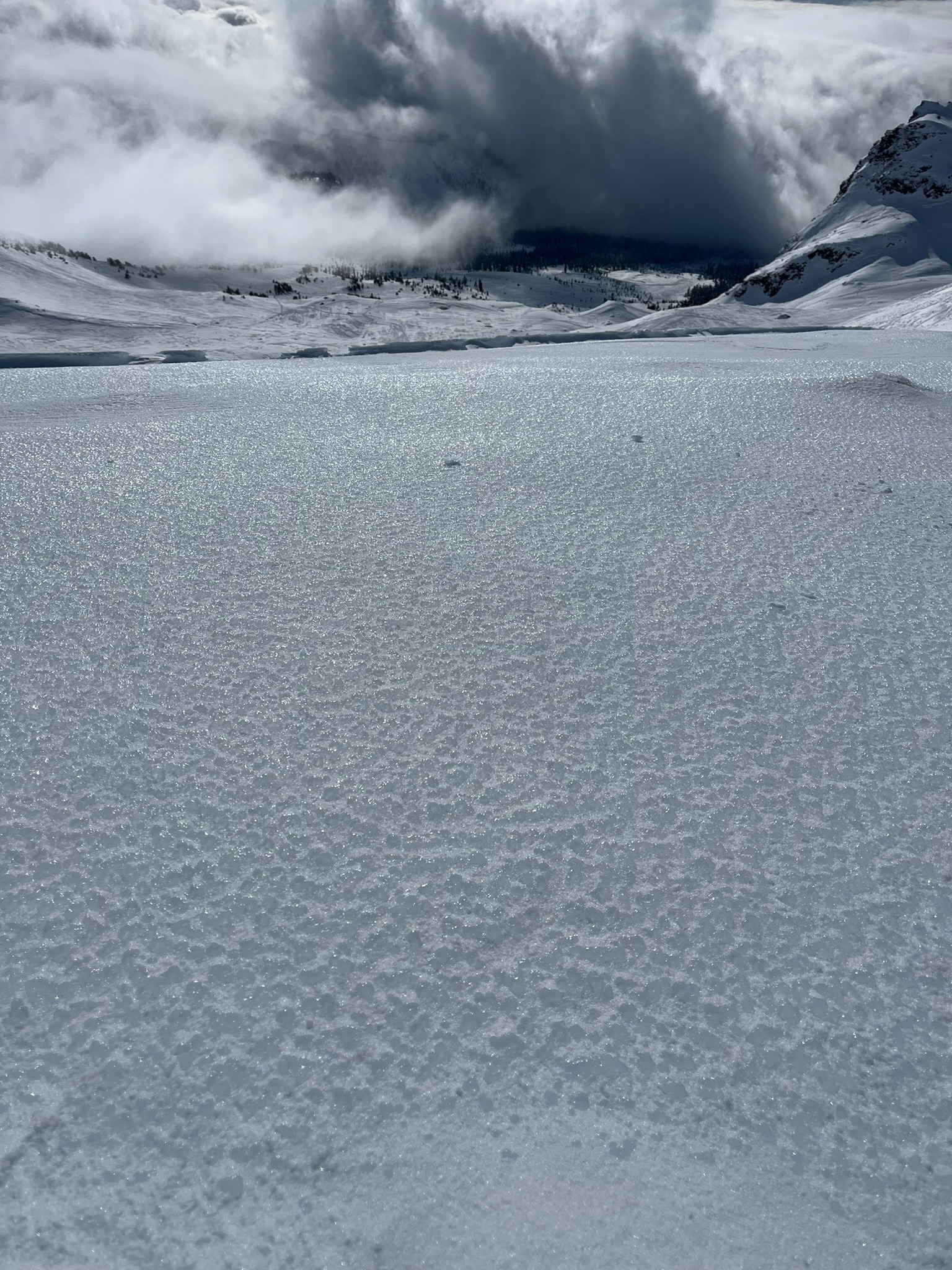
The new/old snow interface was just as sensitive today in Old Ski Bowl as it was yesterday in Giddy Giddy Gulch. Digging down into wind loaded SE aspects near 9,500 feet revealed instability beneath the December 30th crust, the crust was 1 inch thick ice. Similar to our findings yesterday, it was reactive to stability tests, yet a "bridging effect" seems to be limiting it from being active on a slope scale. Winds from last night and throughout today have sculpted the snow surface into a patchwork of light wind drifts, firm wind board, and crusts on Mount Shasta. The wind will continue through the evening along with a slight chance of snow though little accumulation is expected.
Weather
- Air Temp
- 30
- Cloud Cover
- broken
- Wind Loading
- moderate
- Snow Avail For Transport
- moderate amounts
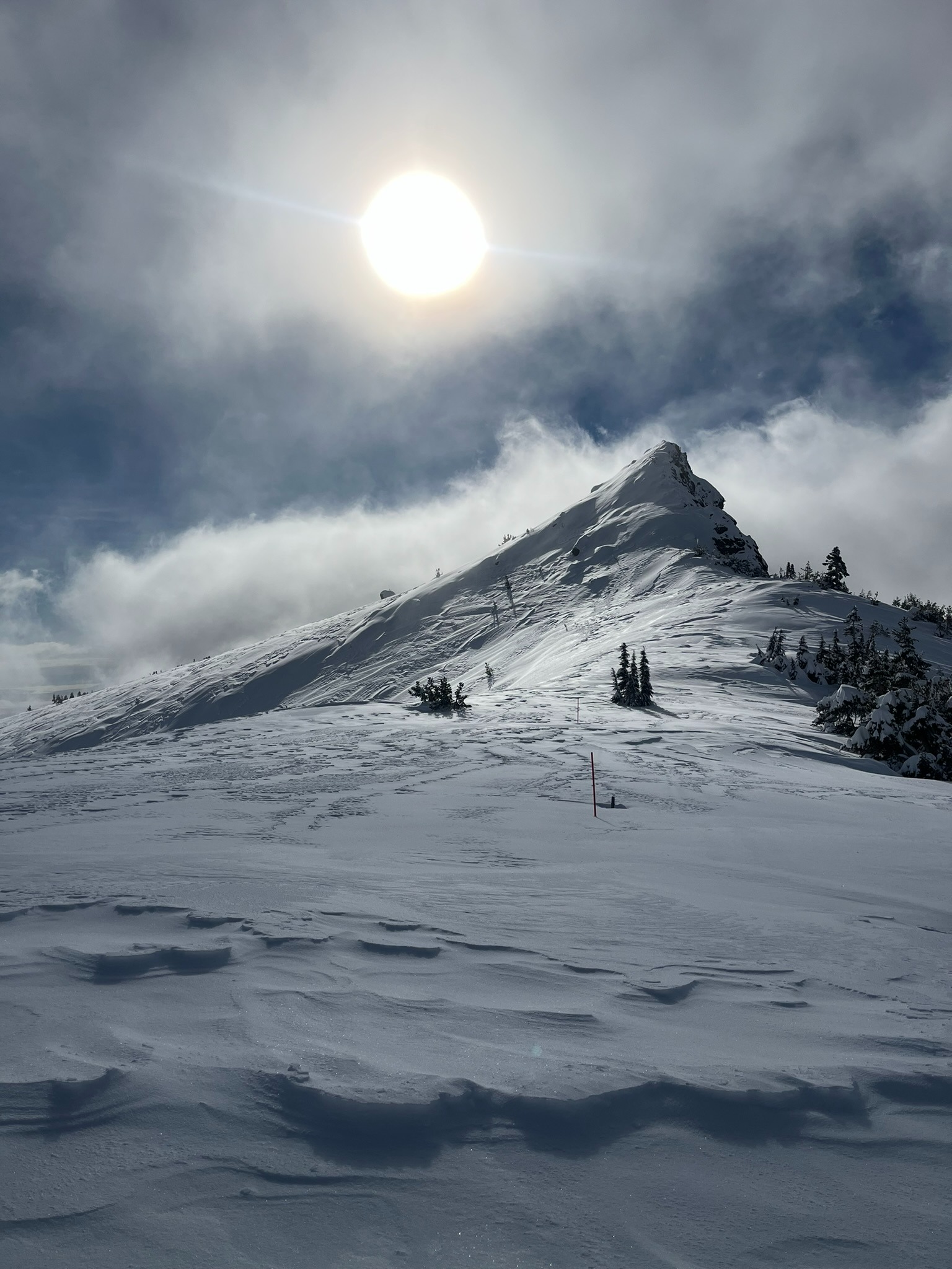
Below treeline held low clouds throughout the day. Near to above treeline was mostly clear and sunny skies with the occasional surface layer passing through. Winds were variable below 9,000 feet. Above that point, northwest winds were blowing strong and actively transporting snow. Temperatures held steady in the upper twenties to low thirties.
Avalanche
- Size
- D1 R1
- Type
- WL
- Aspect
- E
- Trigger
- N
- Elevation
- 8800 ft
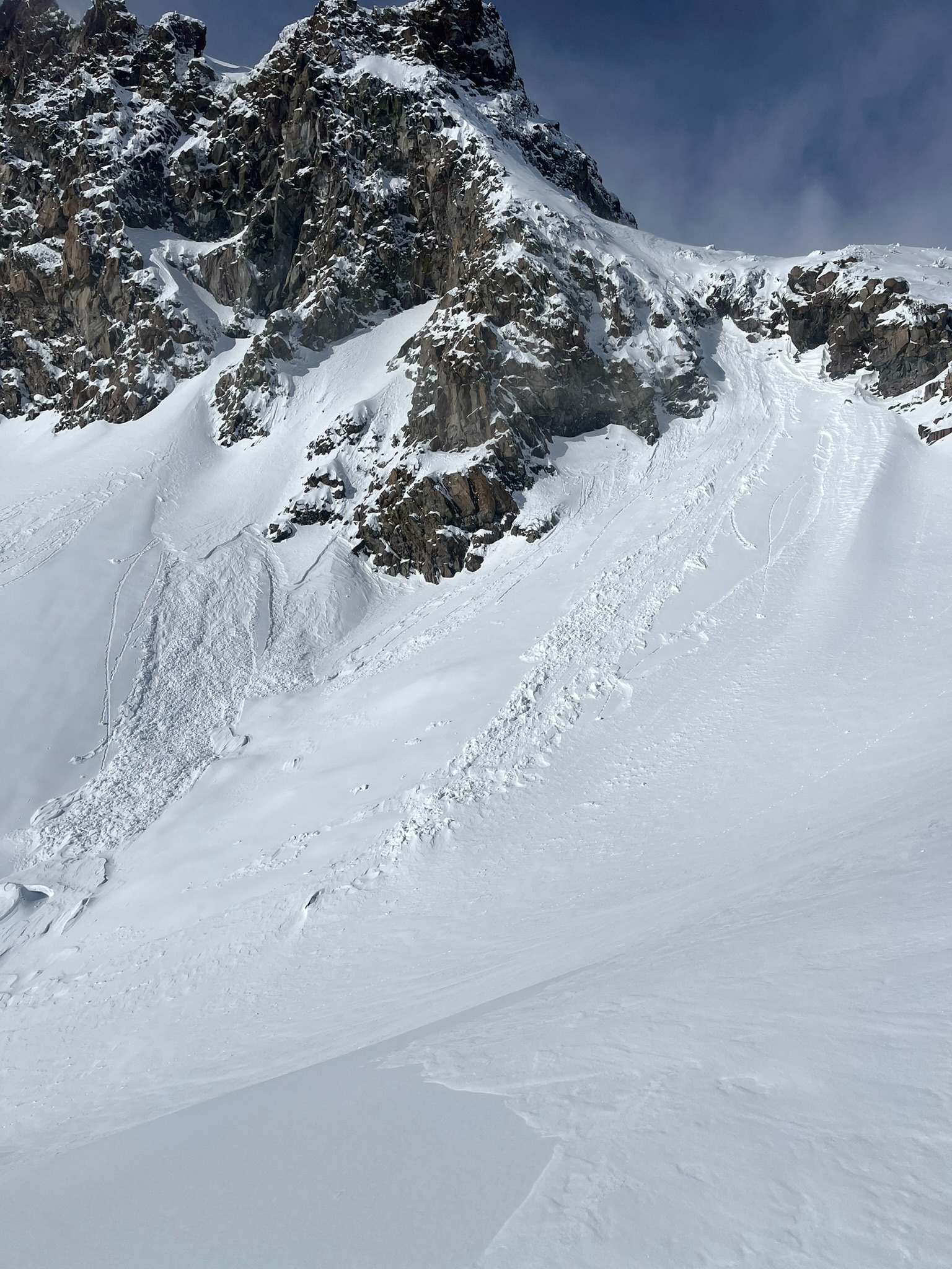
Recent natural wet loose avalanches observed on the east side of Green Butte likely occurred yesterday afternoon (12.3.2023). These were small point releases 6-8 inches deep that occurred in the new/old sow interface.