
Quick report
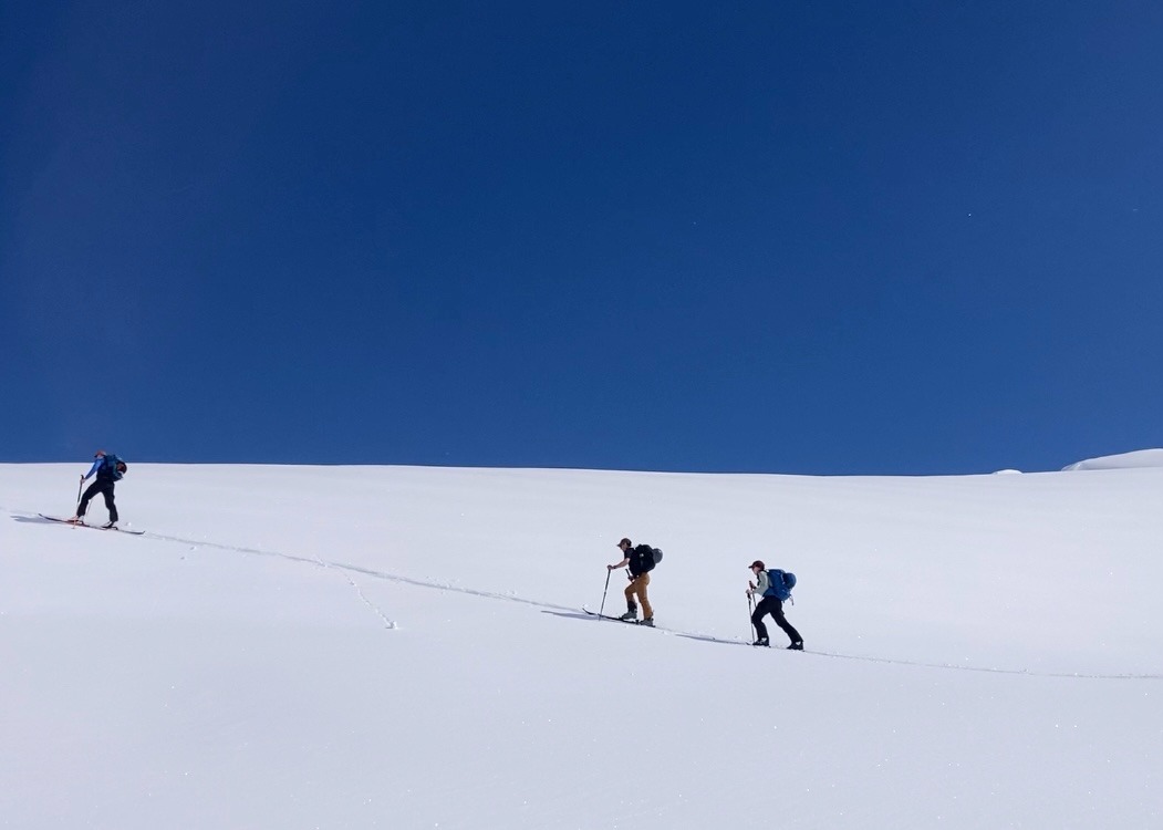
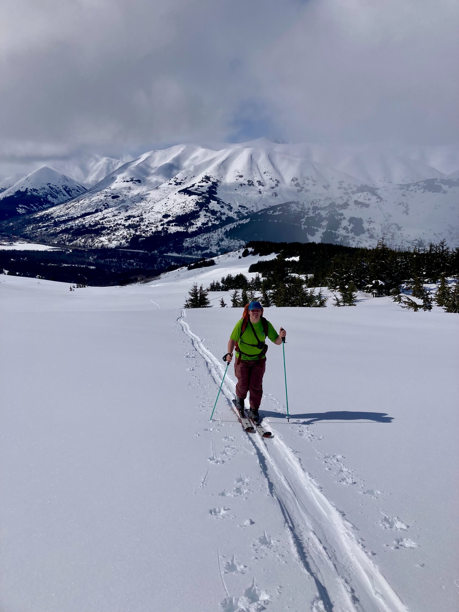
We toured up the West facing slopes of Manitoba to an elevation of 3300 ft. Low moving clouds brought intense flurries/showers and a mix of sky conditions that made it difficult to predict the rate of warming across the mountains. We got lucky with our timing + sky cover on Manitoba. The sky started overcast with light snow and transitioned to full sun on Manitoba by noon. The snow softened throughout the day and skied nicely on the way down at 2:00pm.
Avalanche
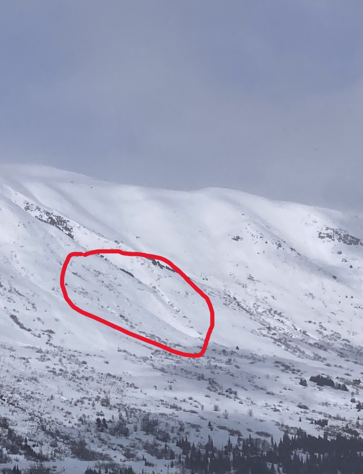
Early in our tour, we observed the crown and debris of a large wet slab avalanche (D2) that released midslope on Fresno. We estimated that it likely ran within the previous 24 hours, during peak warming on Thursday, April 17th.