Let’s go to the B
Jan 1st, 2026 11:00 PM
thomasbiddlecombe
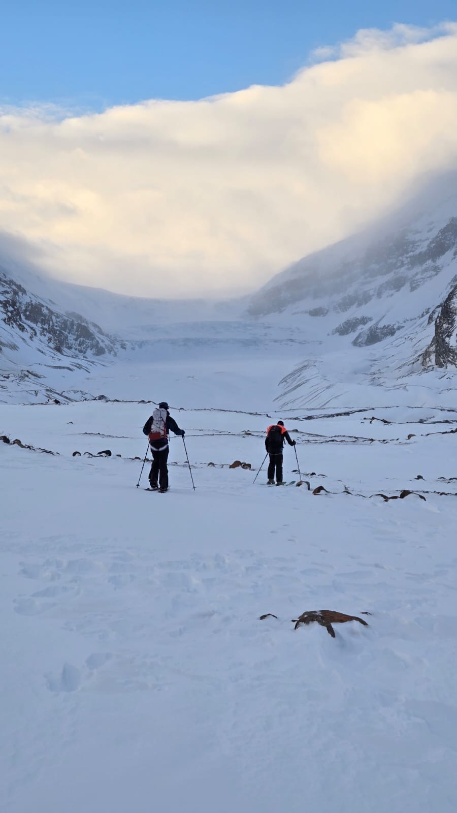
Icefields
Details
Type
quick
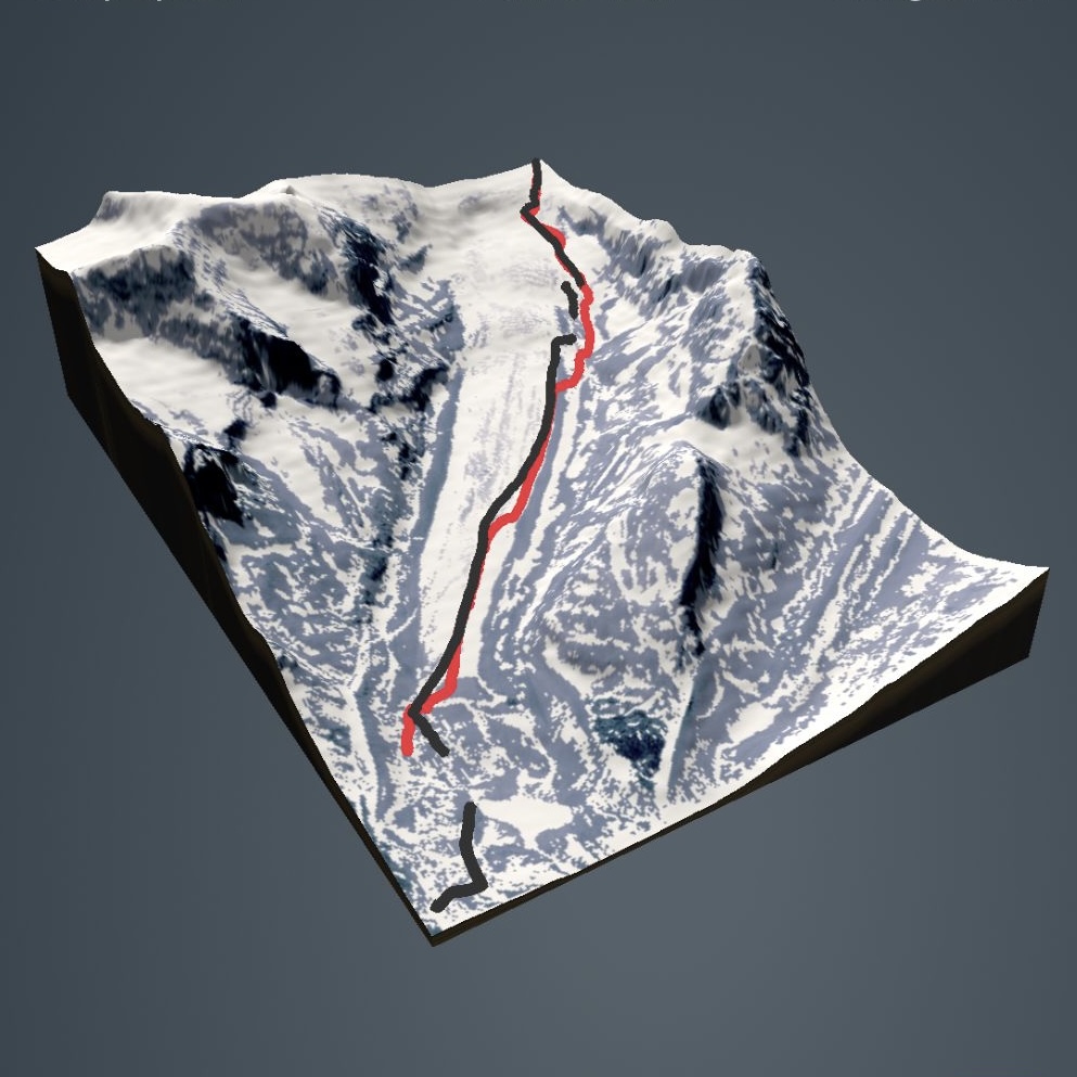
Coordinates
52.170754, -117.280266
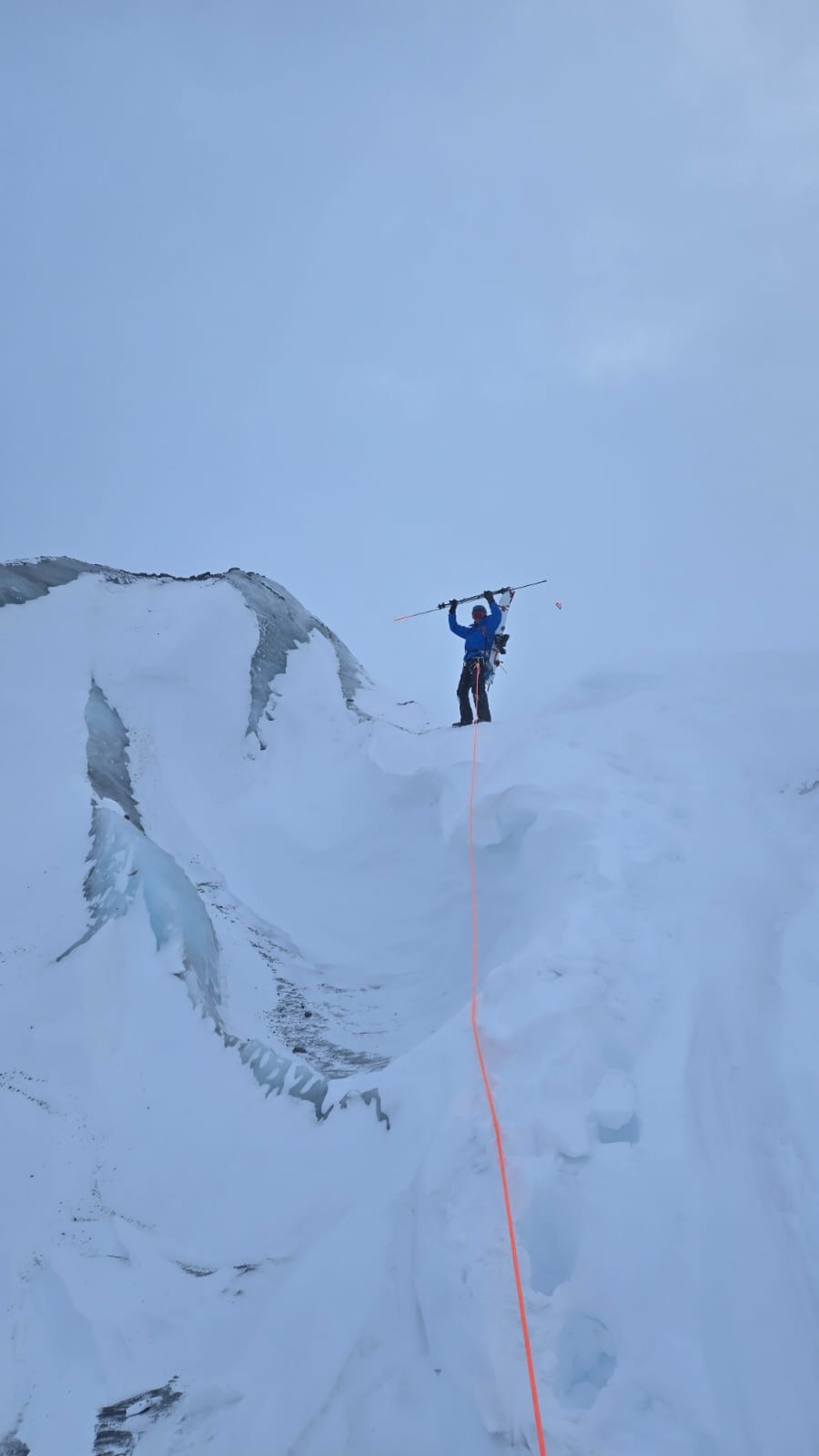
Quick Observation
The thinnest bridge I think we found was 200cm with a tough bottom (2nd band) (ventured a tad into the convex sections of the glacier for fun didn’t venture more than 50-100m into the 1st and 2nd band). It was always ice, rock or hand to snow with probes. Lower on the glacier (prior to first band) there was often less than 1M of snow.
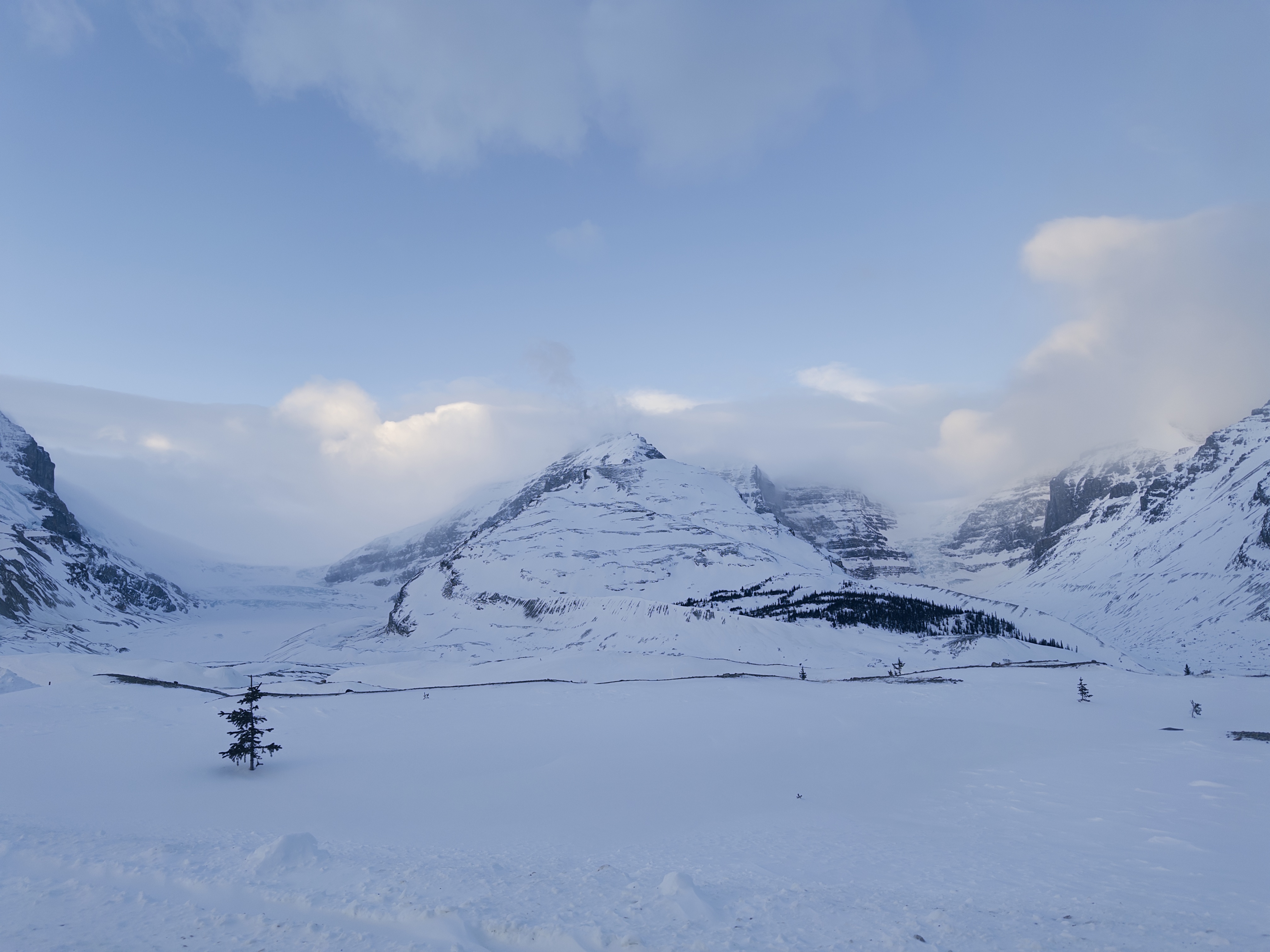
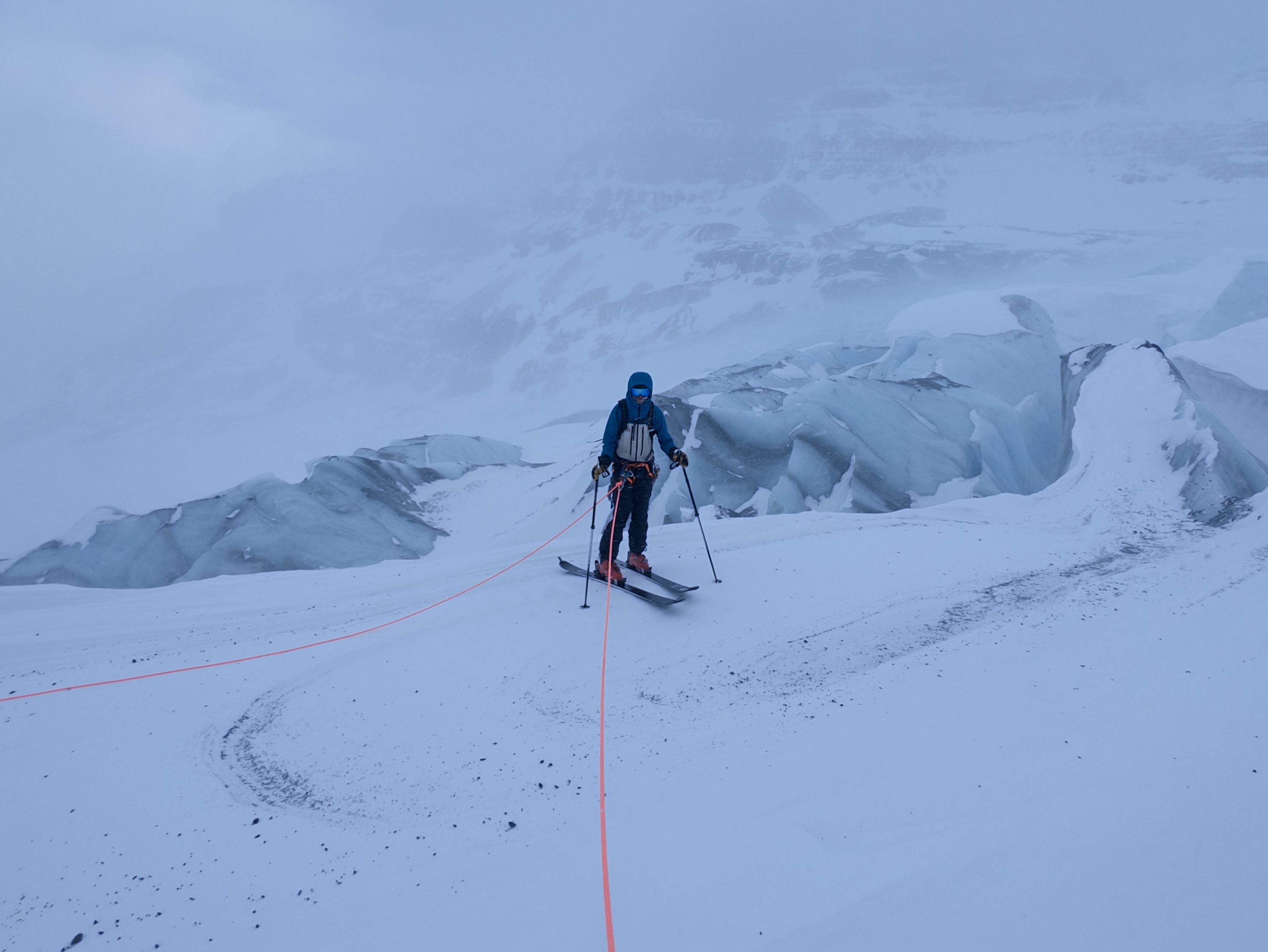
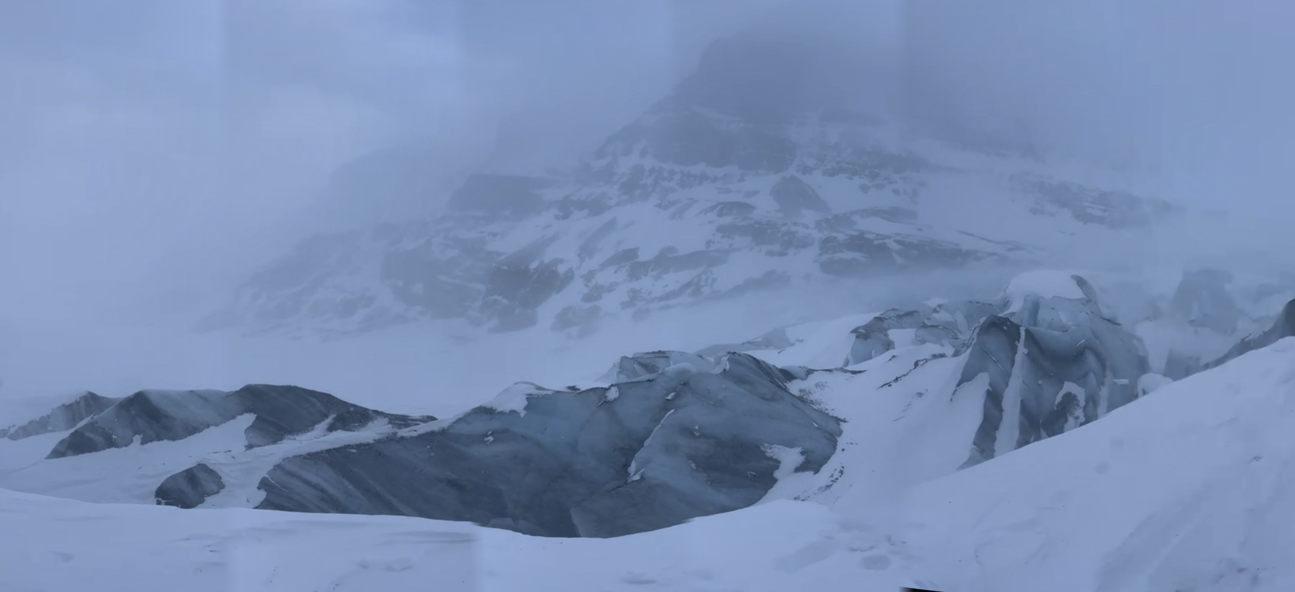
Was super windy, okay visibility lower in the morning (could see fog/clouds coming down from the saddle) then got colder and windier and the visibility got worse and worse. Out from 9:30AM-5:30PM ~150m visibility at one point. Wind very consistently came from the saddle and ran down the valley. Had to shout to be heard over 15m for nealry all the day. It seemed that the clouds were mainly quite low and not very tall as I couldn’t see far low down but looking up at the mountains had good sight lines.
There was basically no powder except in rare exceptions and then it was fairly minimal and very dust on crusty. 5-20cm mby?
Under the serac (on hikers right) I saw smaller chunks of ice (helmet sized and a bit bigger) they were in various stages of being buried.
No signs of instability in the snowpack in the hike up the middle ridge of the 3rd band. No signs of recent avalanches that started on the glacier.
Did start snowing lightly from 3:15ish onwards (could have been snow blown off the top)
Weather
Photos (6)