
Quick report
We traveled up Lynx Creek with several objectives: to observe avalanches from last week’s natural cycle, observe the presence and elevation of the 12/12 facet–crust sandwich (our primary layer of concern) through multiple snowpits, and evaluate surface conditions across a range of elevations.
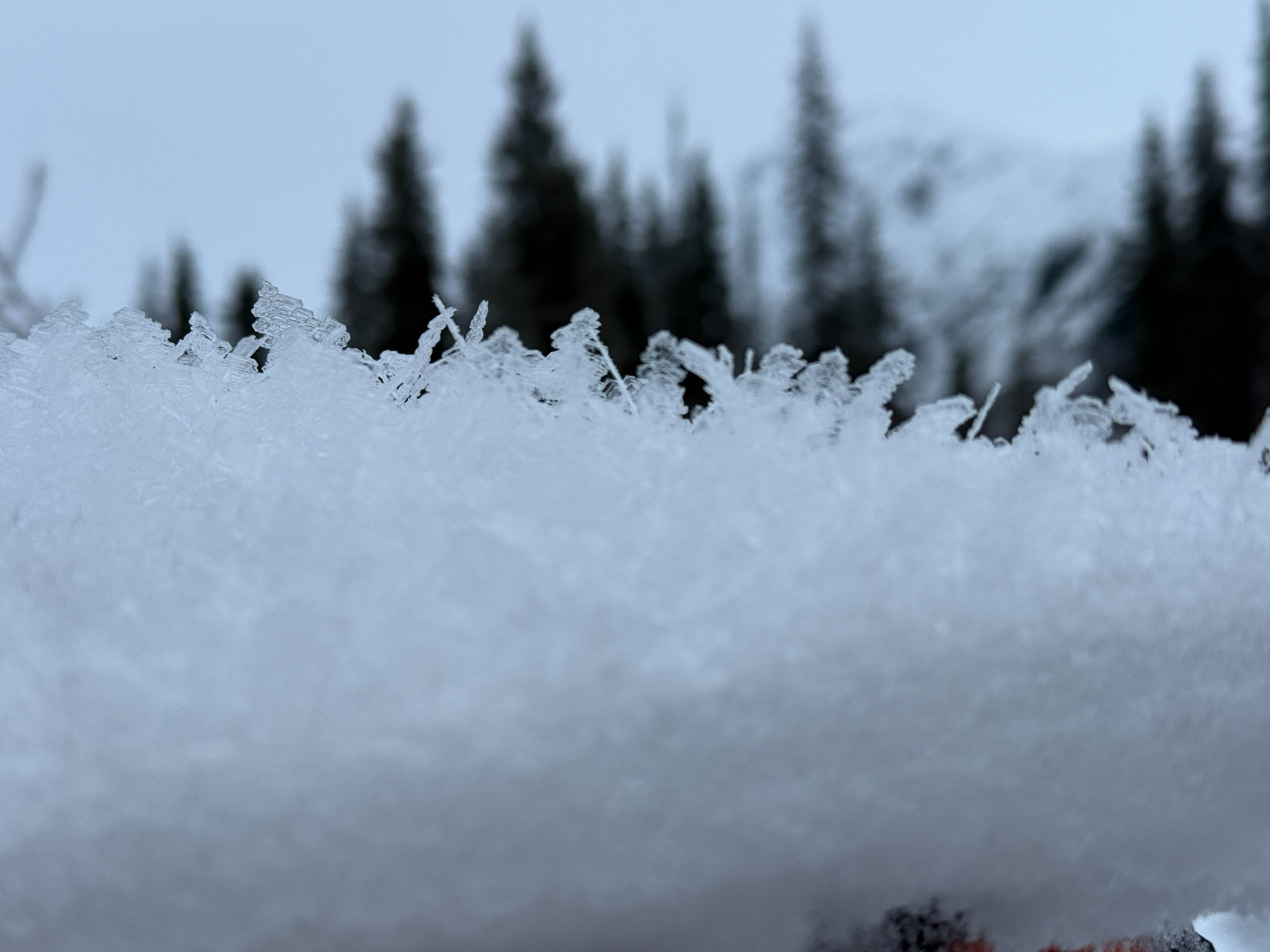
Trail conditions were briefly icy near the parking lot but quickly transitioned to soft snow and easy riding. The Bench Creek crossing was open water but easily manageable. Near the creek crossing, we observed large-grained (4–6 mm) surface hoar sitting on a melt-freeze crust. As we continued up the trail, the crust became more brittle and the surface hoar smaller but still present up to ~1,800'. Above 1,800', the surface hoar appeared to have transitioned into a melt form, likely due to the strong temperature inversion over the past week.
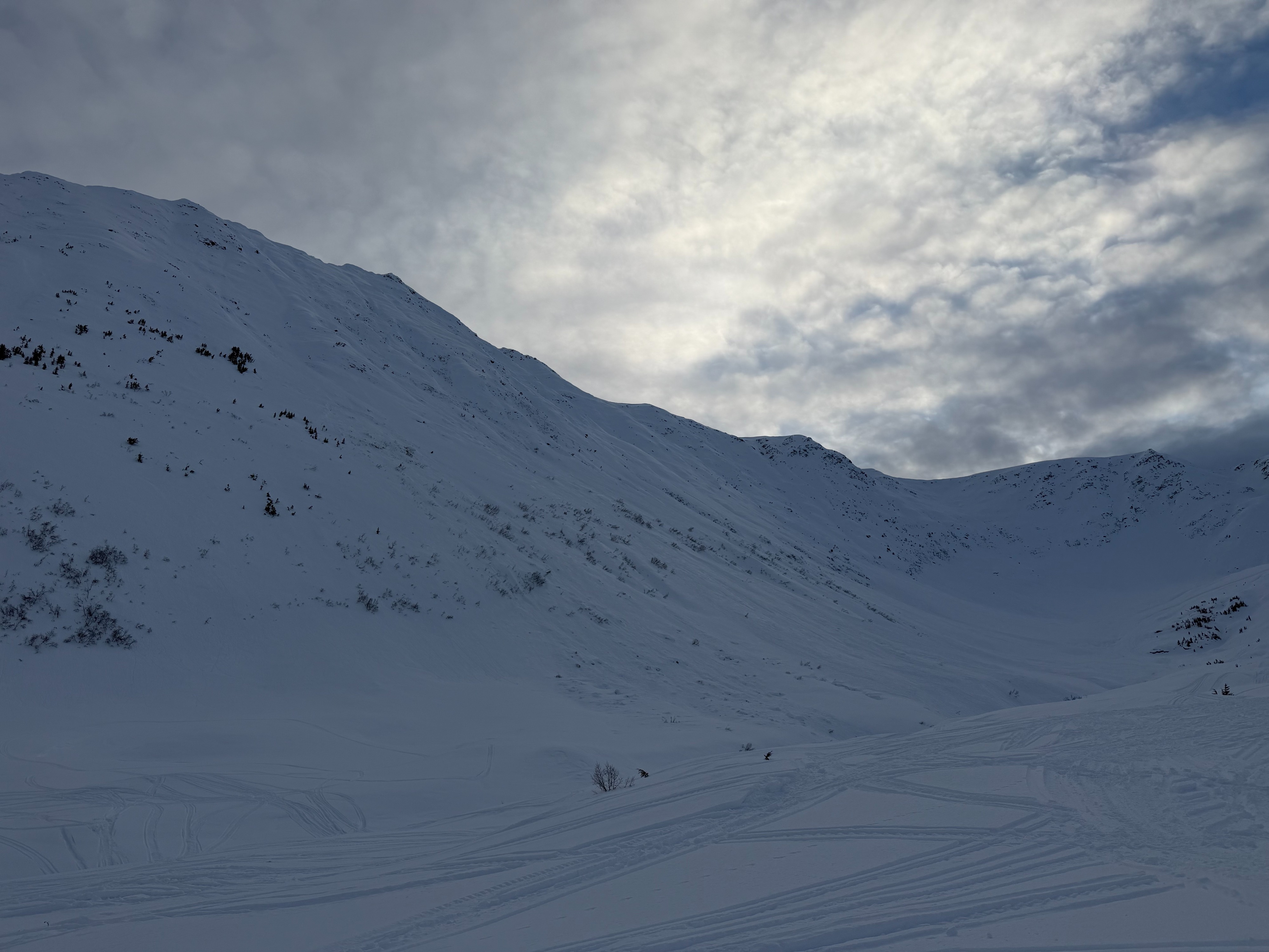
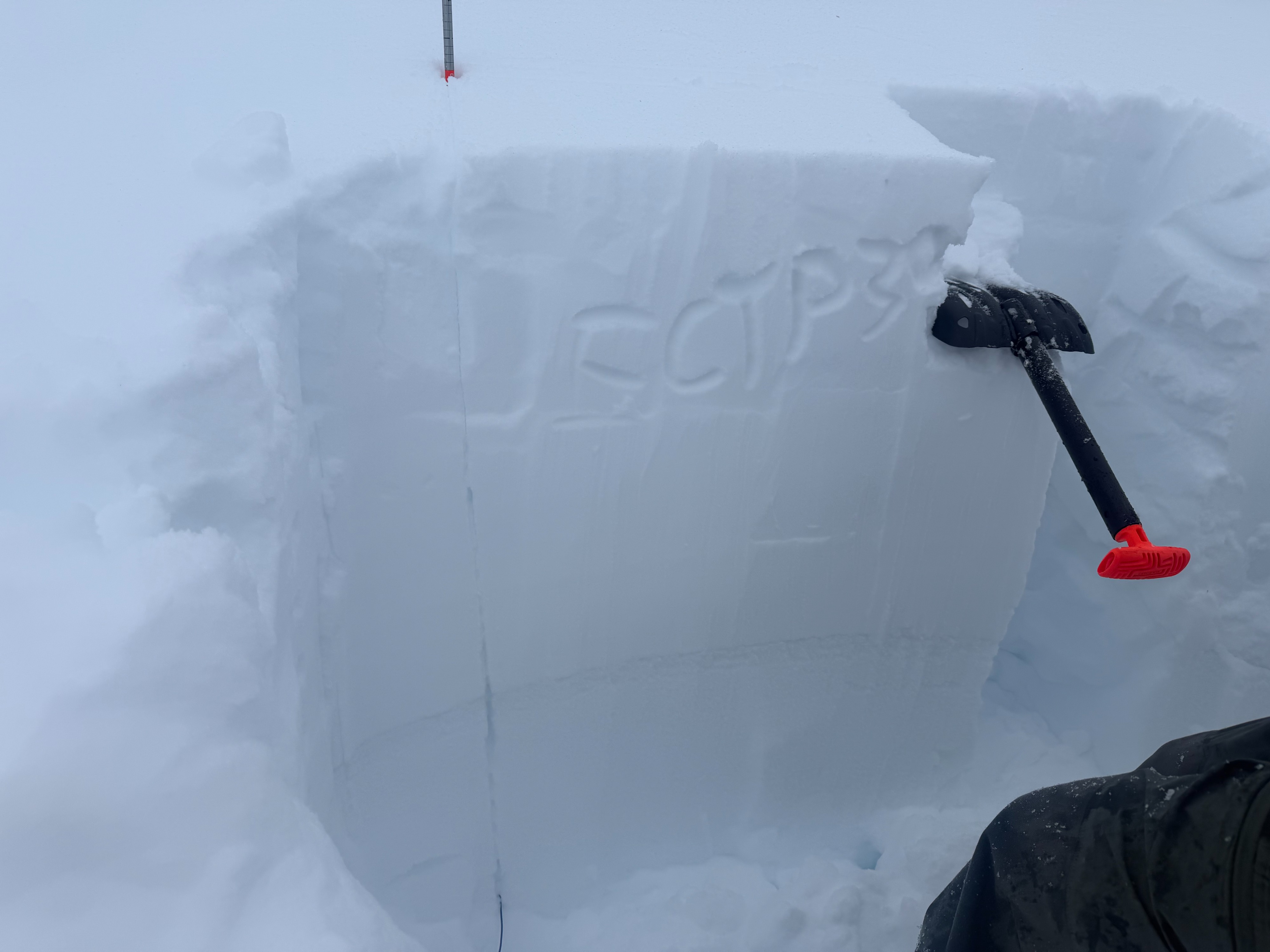
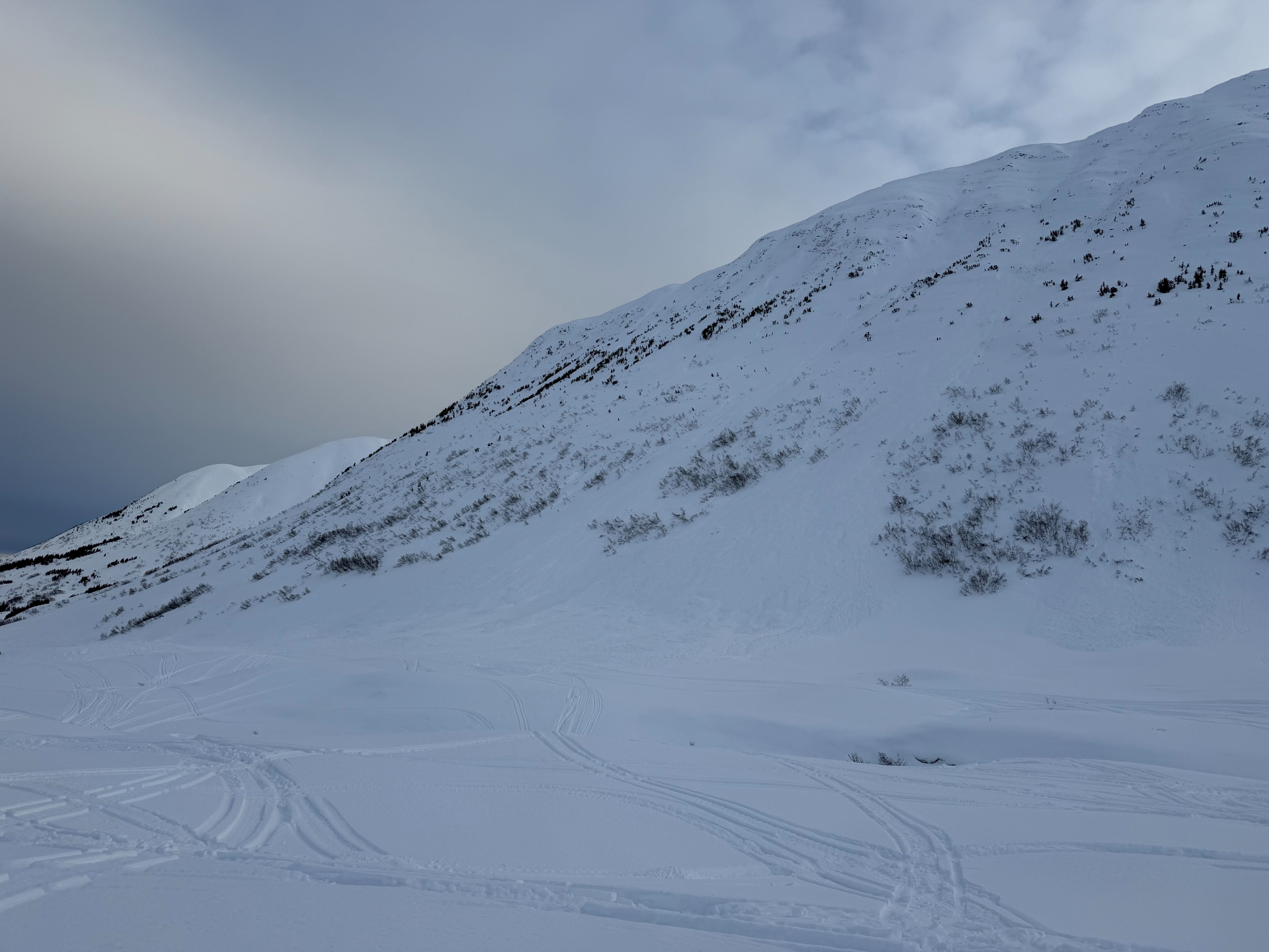
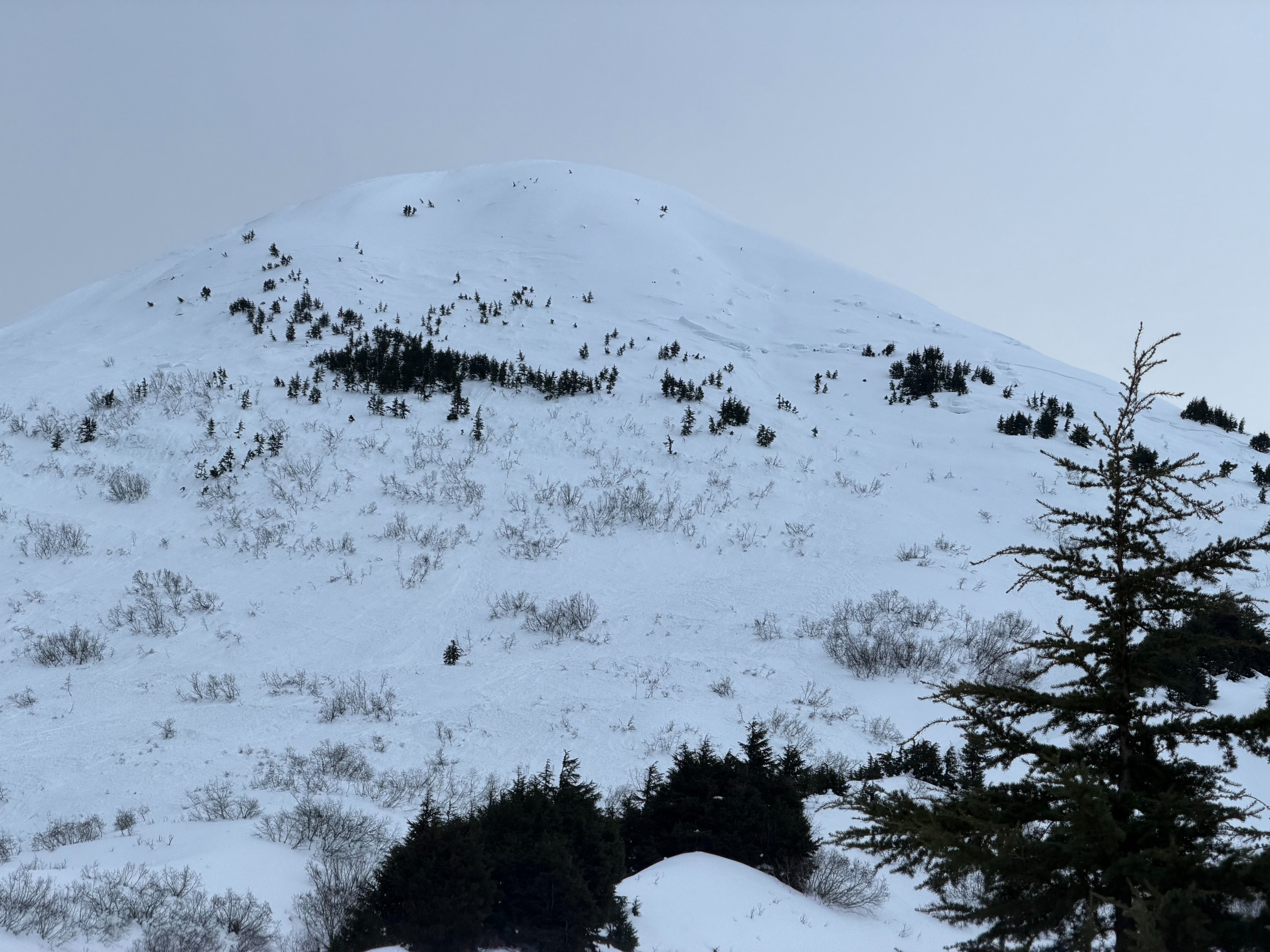
While traveling, we observed several avalanches from last week’s natural cycle, ranging in size. The most notable was a D2–2.5 avalanche on a SW aspect of Captain’s Chair. We dug two snowpits: one at 2,100' on a NE aspect and one at 2,800' on a N aspect. The lower pit produced unstable results on the 12/12 facet layer (ECTP 30 @ 65 cm; PST 50/100 End). The upper pit showed more stubborn results, which we attributed to the absence of a crust at that elevation.
We chose to avoid avalanche terrain today due to ongoing uncertainty surrounding the 12/12 facet layer. This is a spooky setup, and triggering a large avalanche is still possible in specific areas, particularly where the crust over the facets is present and/or where the snowpack is thinner.
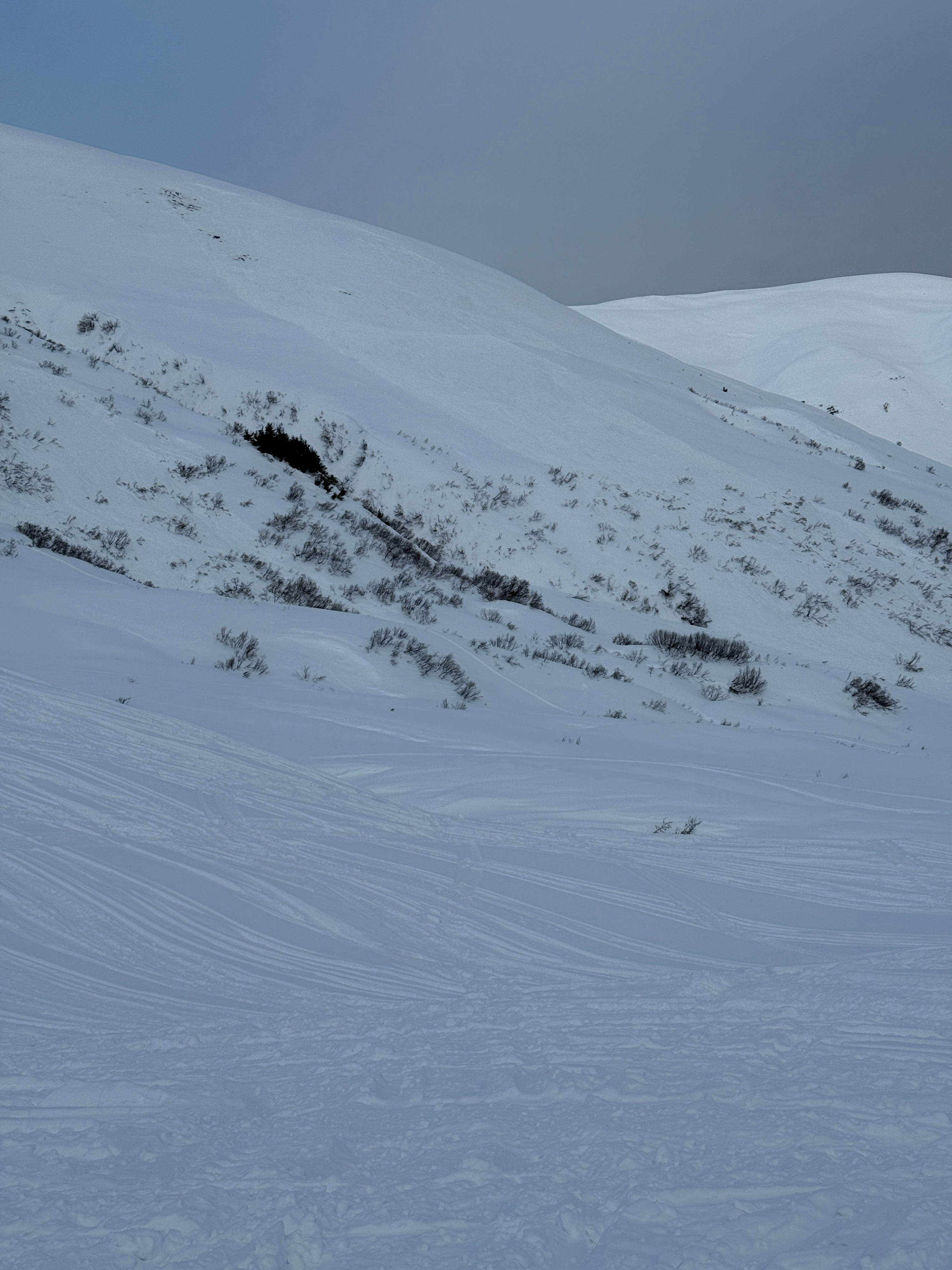
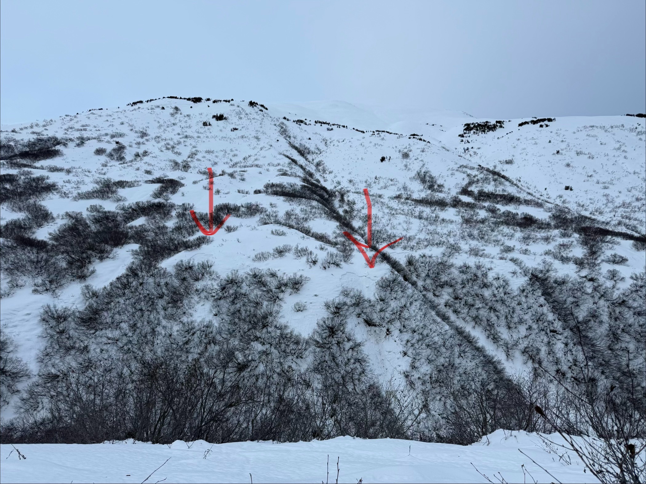
We observed a variety of old debris piles from avalanches that appeared to have come down during last week's natural avalanche cycle. On Captain's Chair, there was a roughly 2–3' crown at about 2,500' on a SW aspect just above treeline. It appeared to be roughly 1,000' wide, D2–2.5. Further up the trail, we saw old debris from a small mid-slope avalanche on a NE aspect. Our best guess was that this was at about 2,600', D1. The south-facing slope of West Groundhog Peak had debris in most of the obvious paths, ranging from D1–2.Weather
- Air Temp
- 14-37
- Cloud Cover
- broken
- Wind Loading
- none
- Rain Elevation
- not observed
- Recent Snowfall
- 0
- Snow Avail For Transport
- small smounts
We started out from the Johnson Pass trailhead under scattered clouds and mid-twenty-degree temperatures. As we ascended, temperatures rose slightly to 30 degrees at 2,800'. The clouds moved in by noon, and the day shifted to grey bird.
Snowpack
Our primary layer of concern (12/12 facets) was observed ~2' down at mid elevations in Lynx Creek. We dug snowpits at 2,100' on a NE aspect and at 2,800' on a N aspect.
At 2,100', the layer of concern (facets below a melt-freeze crust) was 60 cm (2') down with a total snow depth (HS) of 175 cm. Stability tests produced unstable results: ECTP 30 @ 65 cm, failing on facets. A propagation saw test also showed instability, PST 50/100 End.
At 2,800', the melt-freeze crust was absent, but thick layer of 4F facets was observed beginning 30 cm below the surface. Stability testing produced ECTN 23 @ 30 cm. The surface layers in both pits consisted of a melt form.