
Quick report
I visited locations just east of WMR to see how the snowpack fared following several days of warm, wet weather.
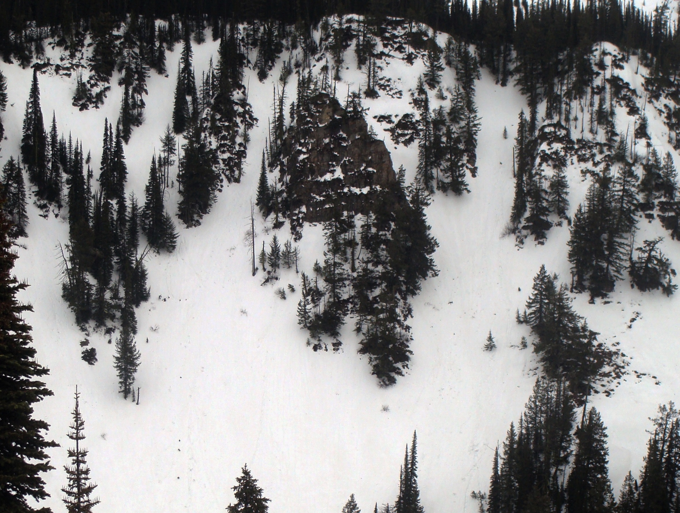
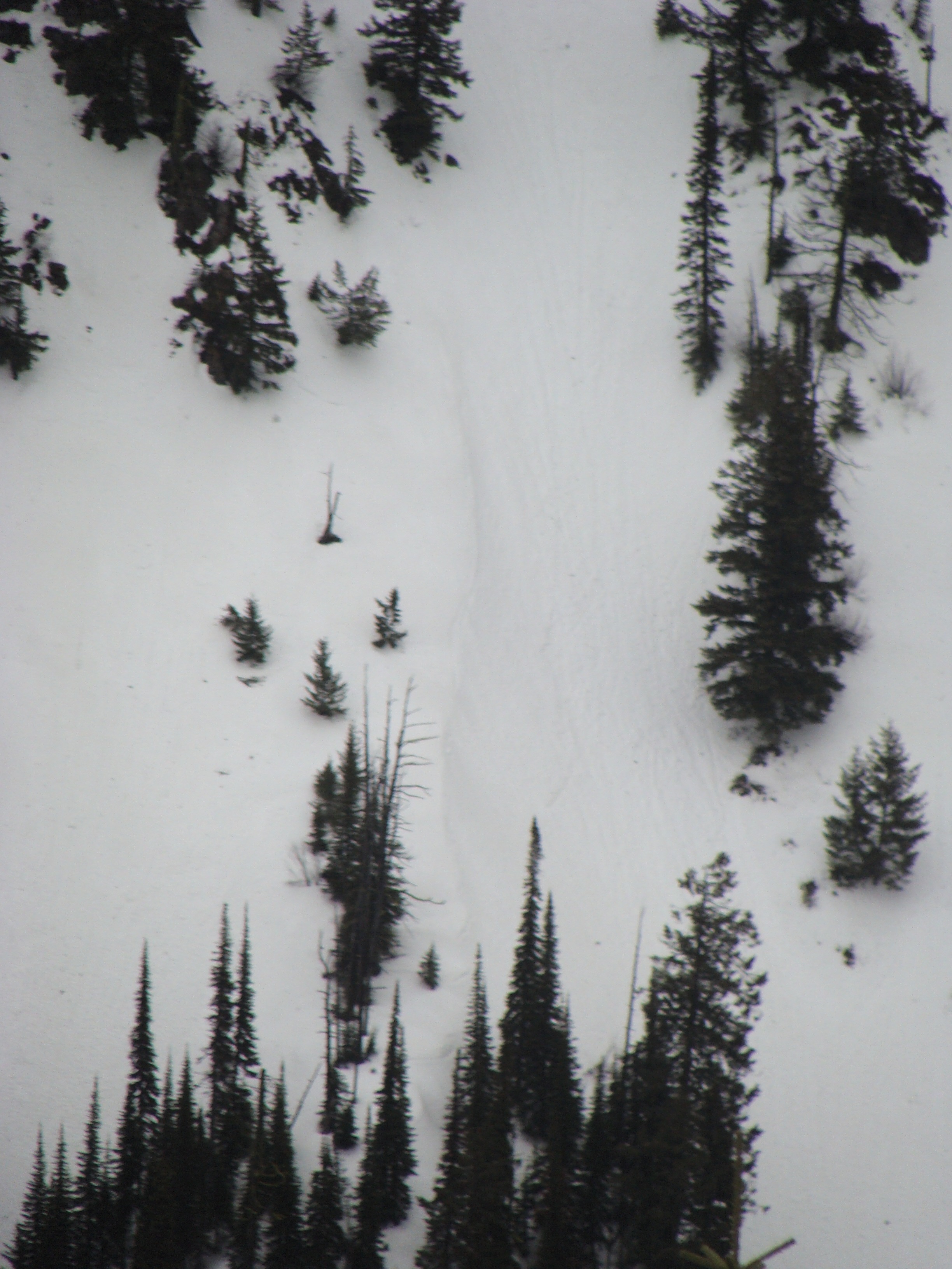
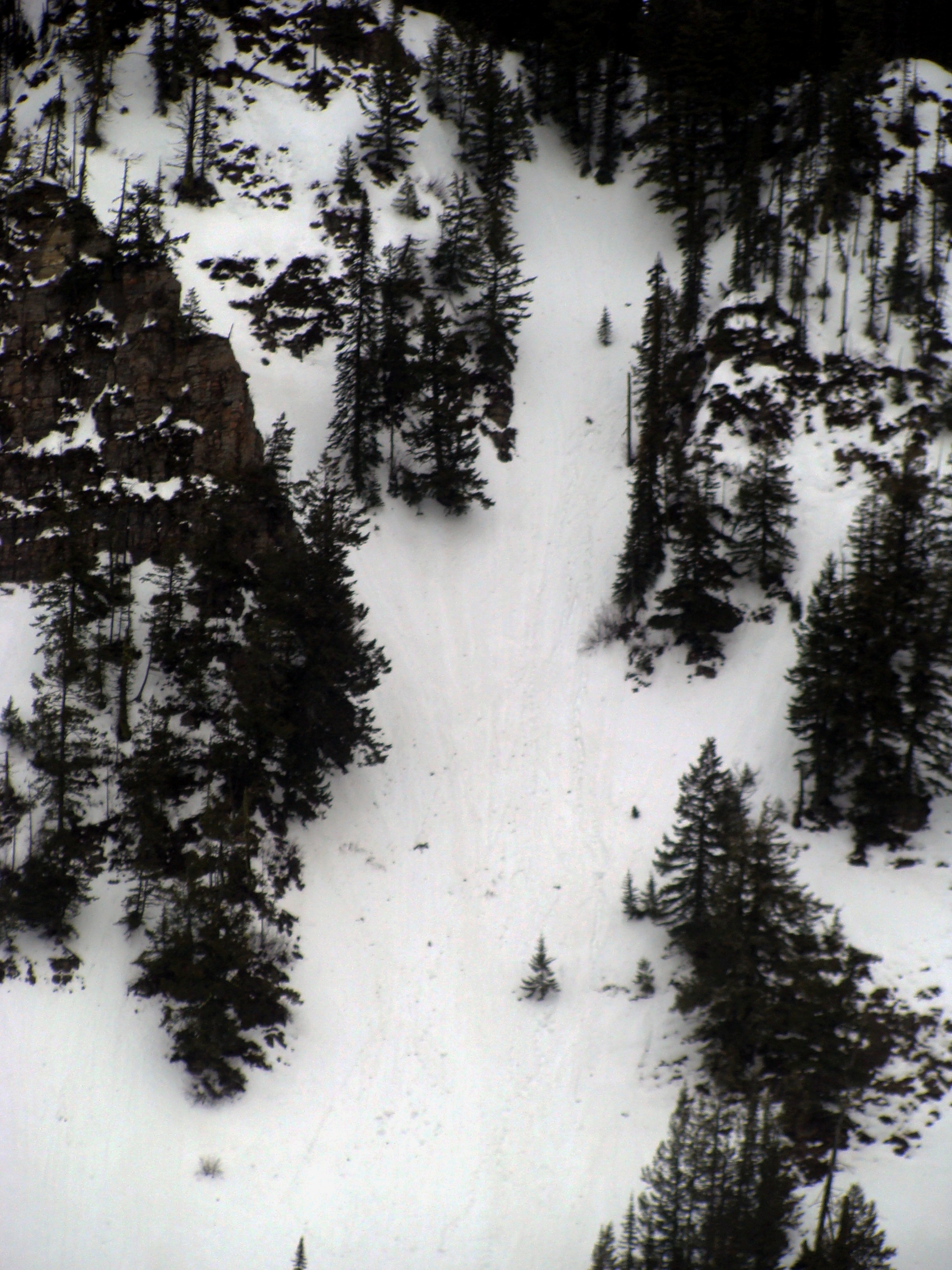
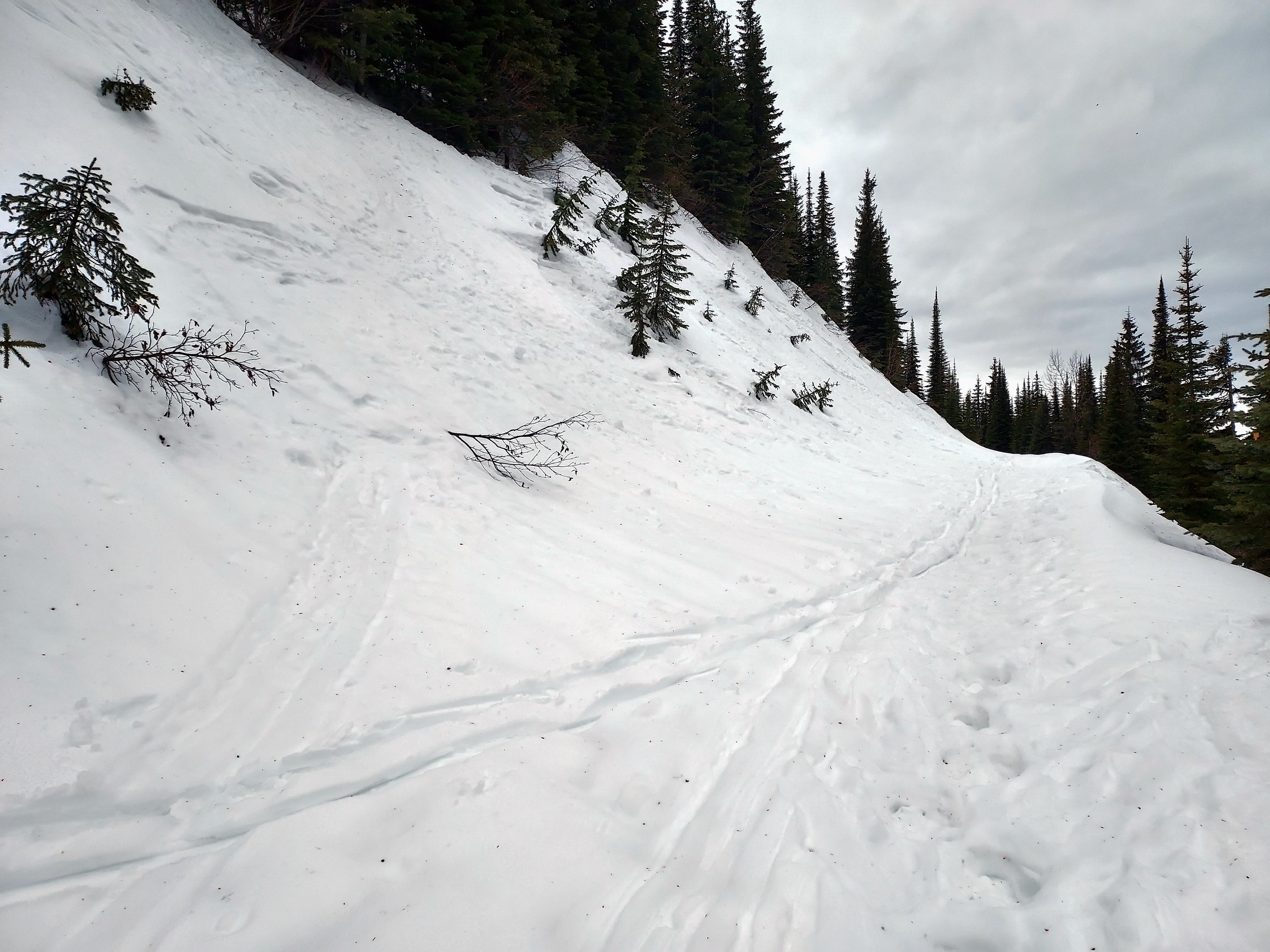
- There was a general lack of recent avalanche activity on steep south and north-facing slopes at mid-elevations. Smaller wet loose from earlier in the week with rollerballs from the past day or two was all I could identify in the flat light.
- Traveling through unconsolidated snow was challenging due to its being moist and punchy.
- This zone looks to have received heavy recreational use during last weekend's fresh snow.
Weather
- Air Temp
- 40
- Cloud Cover
- overcast
- Wind Loading
- none
- Rain Elevation
- 10,000
- Recent Snowfall
- 0
- Snow Avail For Transport
- none
Intermittent light to moderate rain showers mid-day for a couple of hours.
Snowpack
- The top 2-5 cm of the snow surface between 5700 and 6700 feet was wet from rain and warm temperatures. 2-3 feet of moist snow lie beneath the surface, which is unsupportable and punchy.
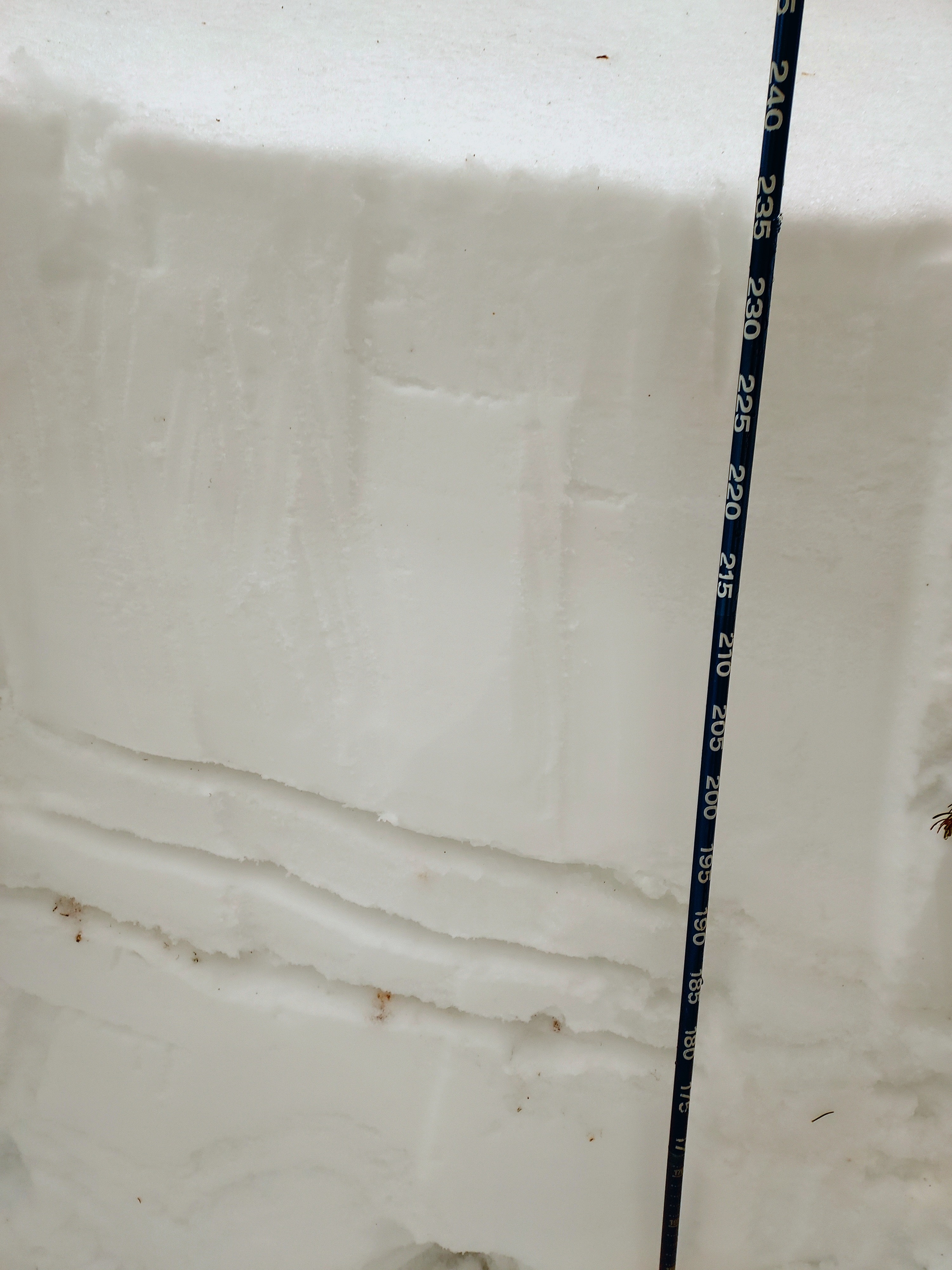
- Meltwater is pooling on a series of crusts 40-60 cm below the surface on a north aspect at 5800'.