
Quick report
-
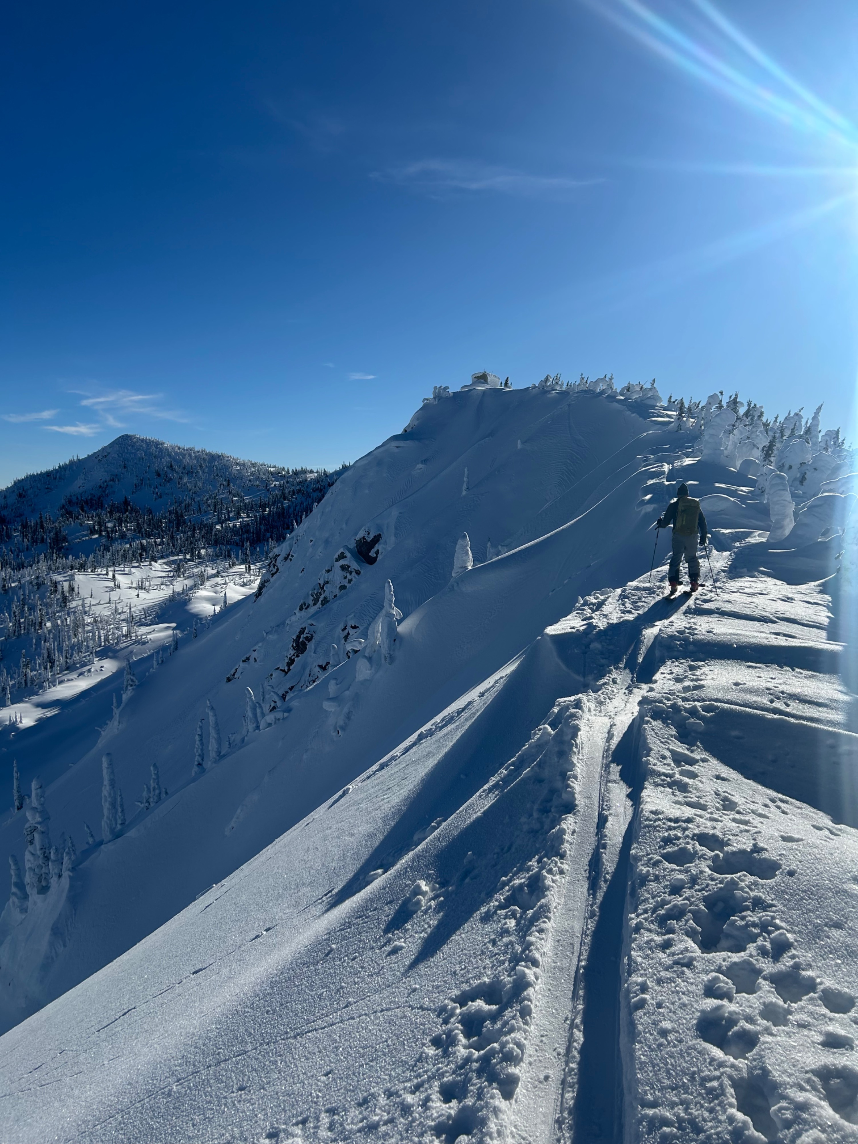
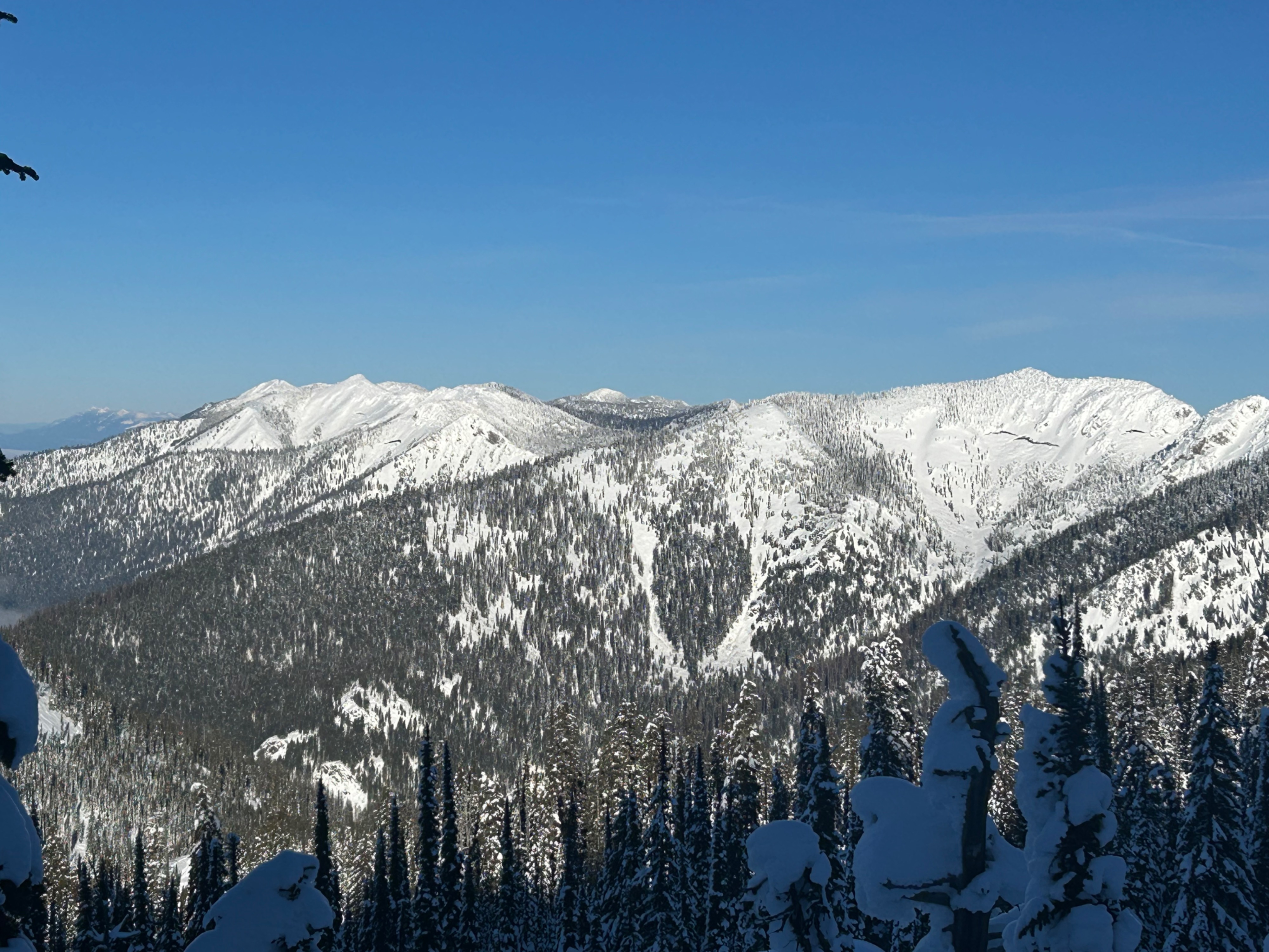
We went to the Aeneas Ridge weather station and then skied multiple aspects to track down surface conditions ahead of this weekend's storm.
- Unsurprisingly, we found Low Danger conditions—no signs of cracking or collapsing. Old wind slabs were unreactive to ski cuts.
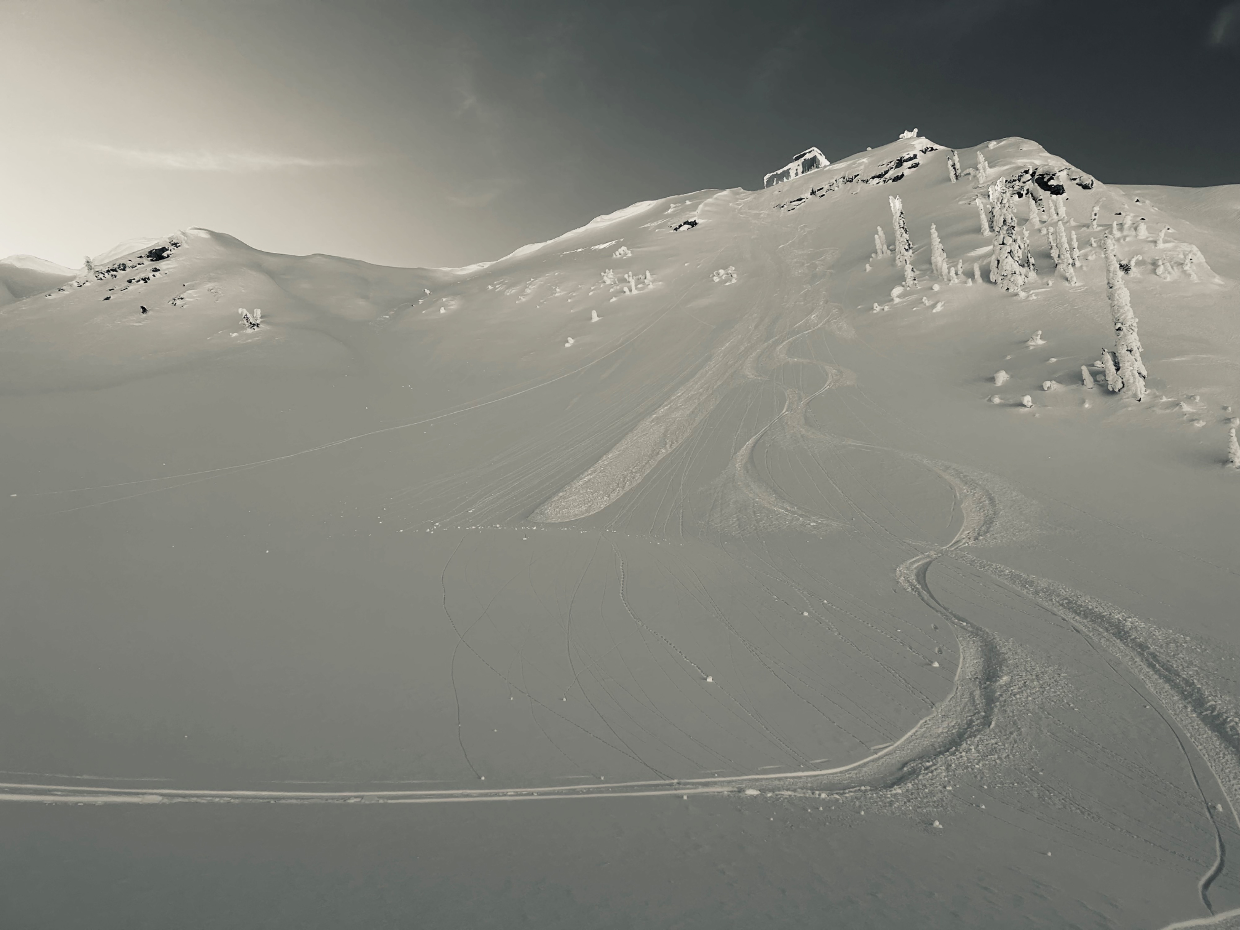
- We descended a steep northeast-facing slope and triggered a very small (D1) loose dry sluff.
- Sluffing was more common on shaded slopes sheltered from the wind. There was minimal sluffing on exposed slopes where wind and sun had previously worked the surface.
Surface conditions:
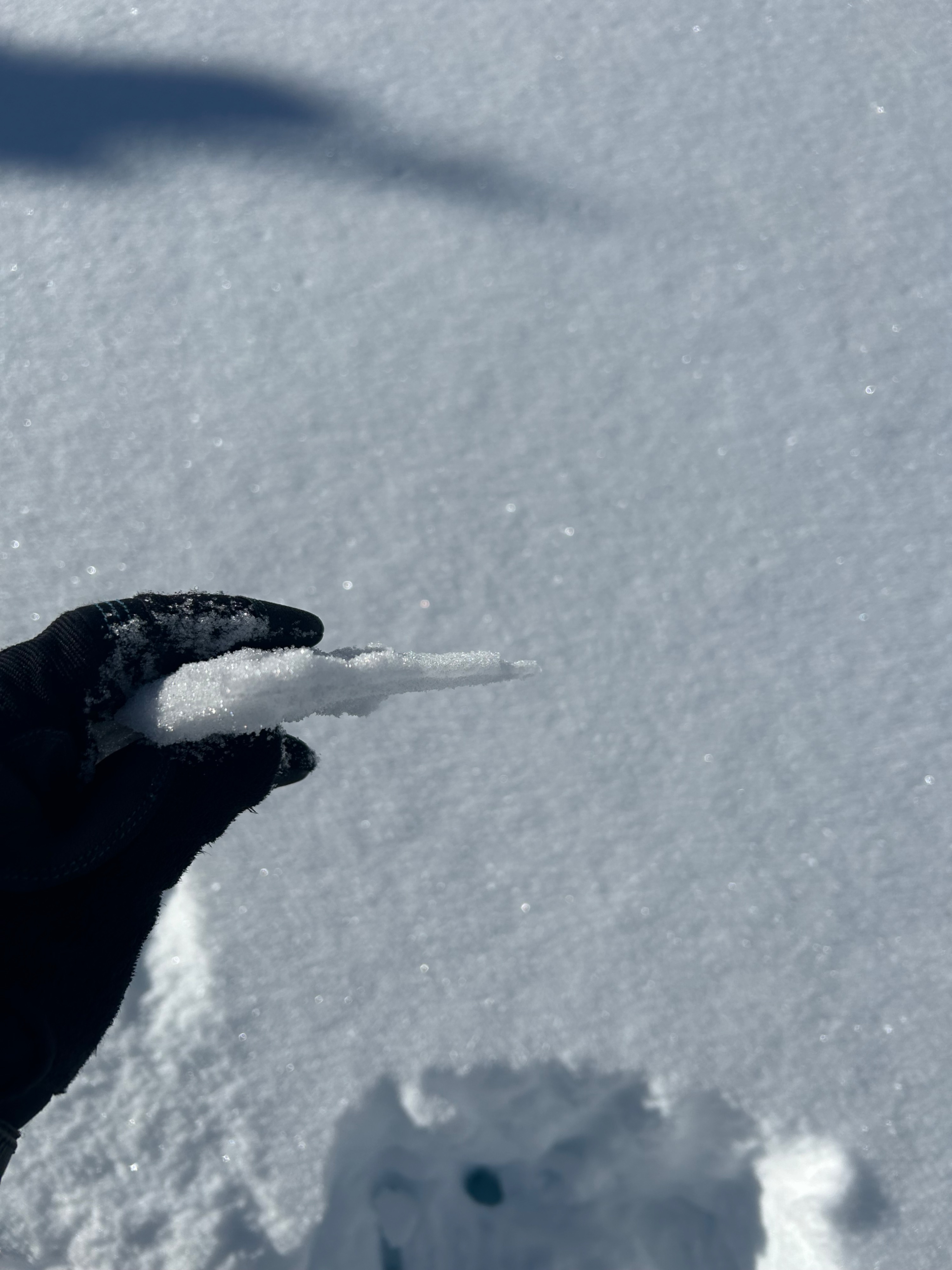
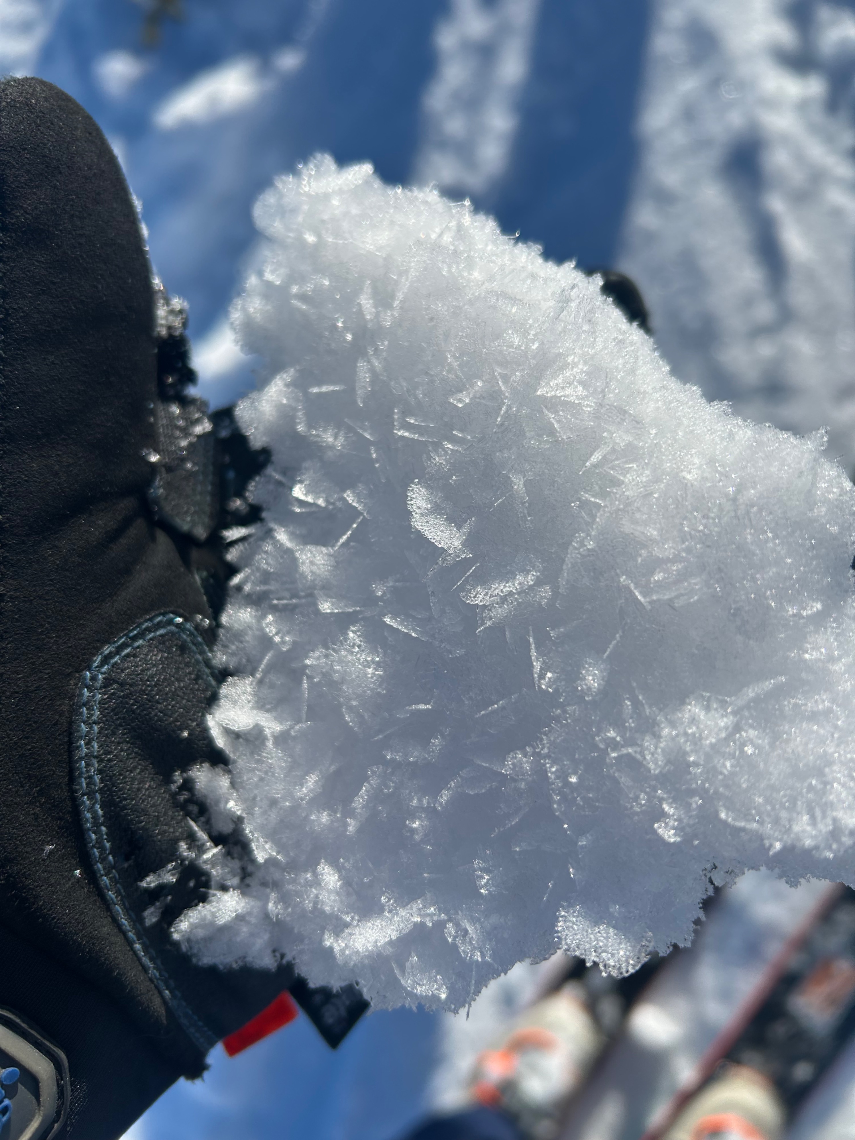
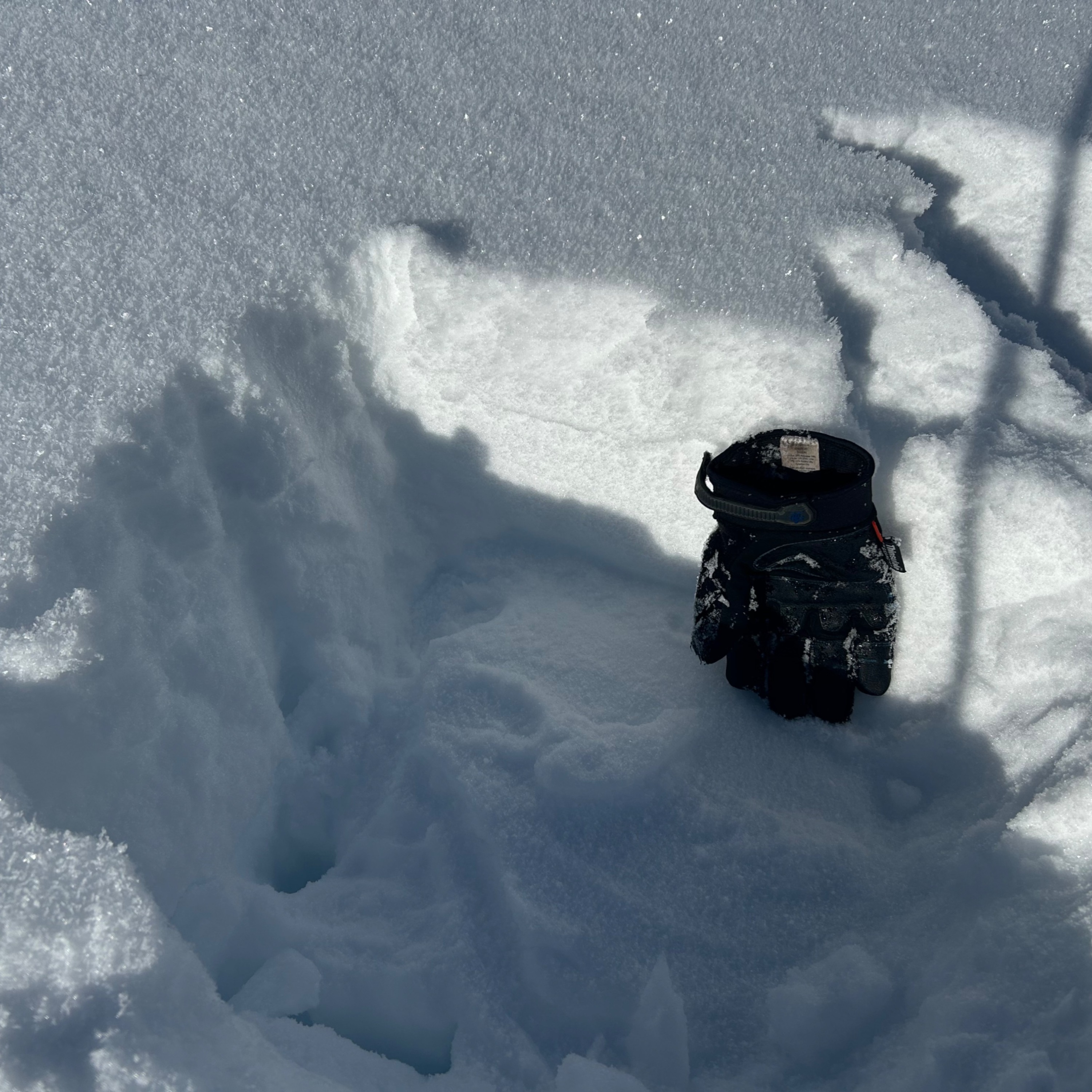
- Large surface hoar was observed on all aspects at middle and upper elevations.
- Terrain sheltered from the wind and sun was more faceted and weak than exposed terrain.
- We found about 8 inches of large-grained facets resting on a smooth ice crust.
- The upper snowpack in terrain exposed to wind and sun had a mixed bag of facets and crusts.
Looking ahead:
- Conditions will be dramatically different and more dangerous if this weekend's storm produces enough snow to form a slab.
Weather
- Air Temp
- Below Freezing
- Cloud Cover
- clear
- Wind Loading
- previous
- Snow Avail For Transport
- small smounts
Cold and clear day. Temps warmed up during out departure. Cold and light wind out of the west.
Avalanche
- Size
- D1 R1
- Type
- L
- Aspect
- NE
- Trigger
- AS
- Elevation
- 6900 ft
Intentionally triggered one small loose dry avalanche on a northeast aspect at approximately 7000 feet.