
Quick report
- Collapsing
- isolated
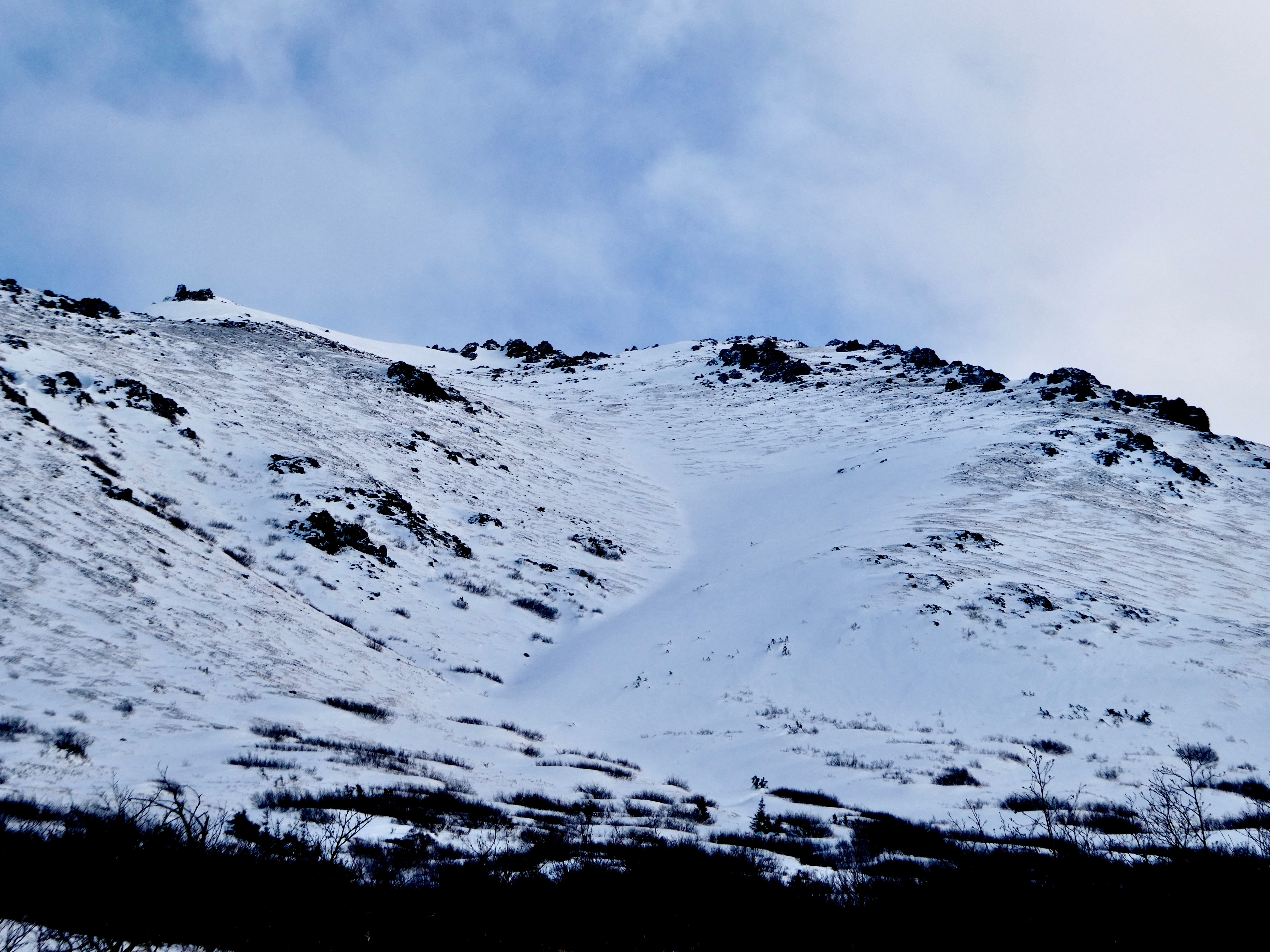
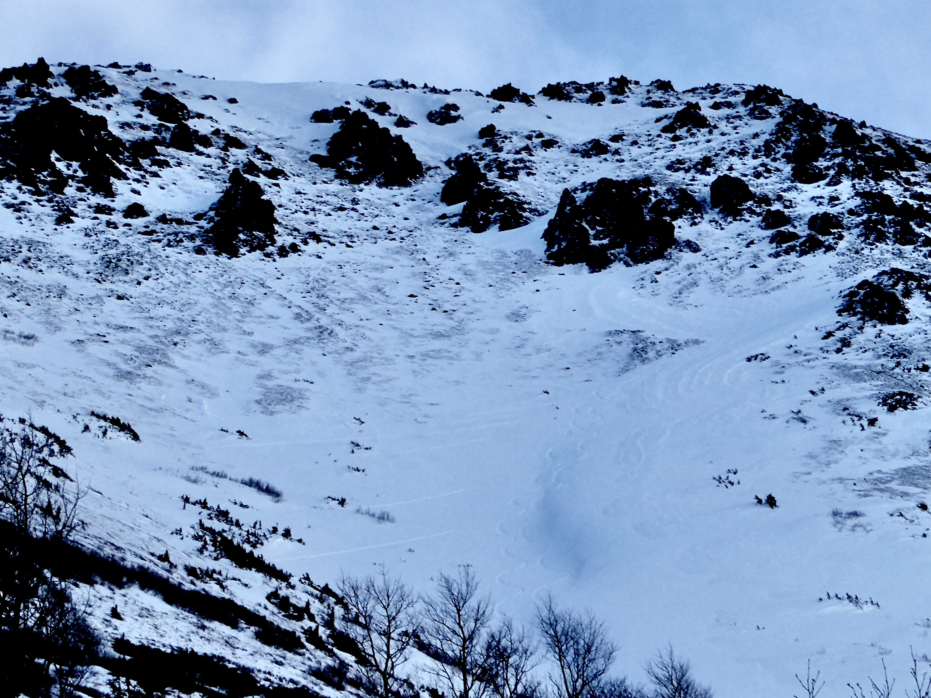
We felt isolated collapsing at shallower snowpack points in the Peak 4 gully.
Weather
- Air Temp
- 3.2
- Cloud Cover
- overcast
- Wind Loading
- previous
- Rain Elevation
- Not observed
- Recent Snowfall
- 10 cm
- Snow Avail For Transport
- moderate amounts
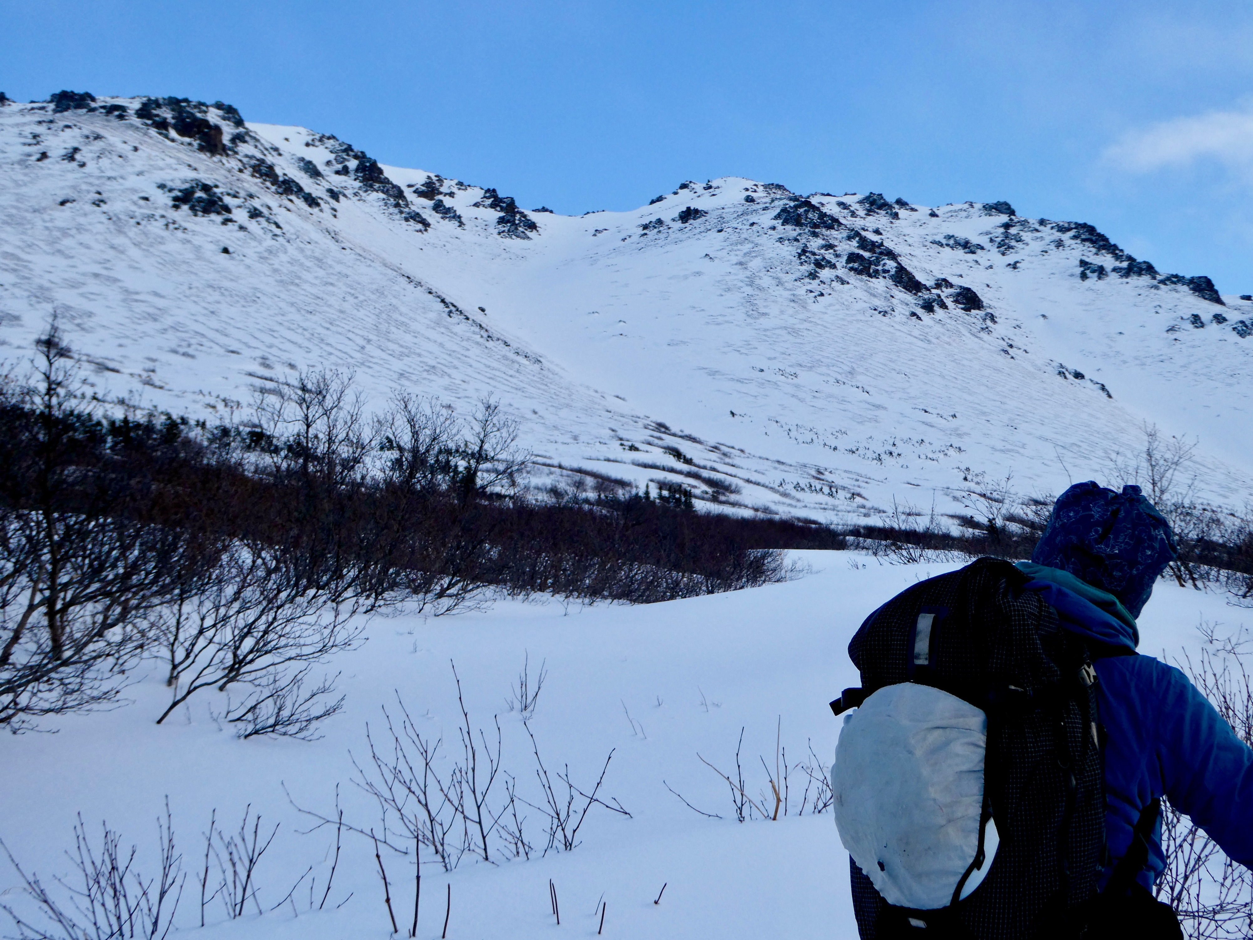
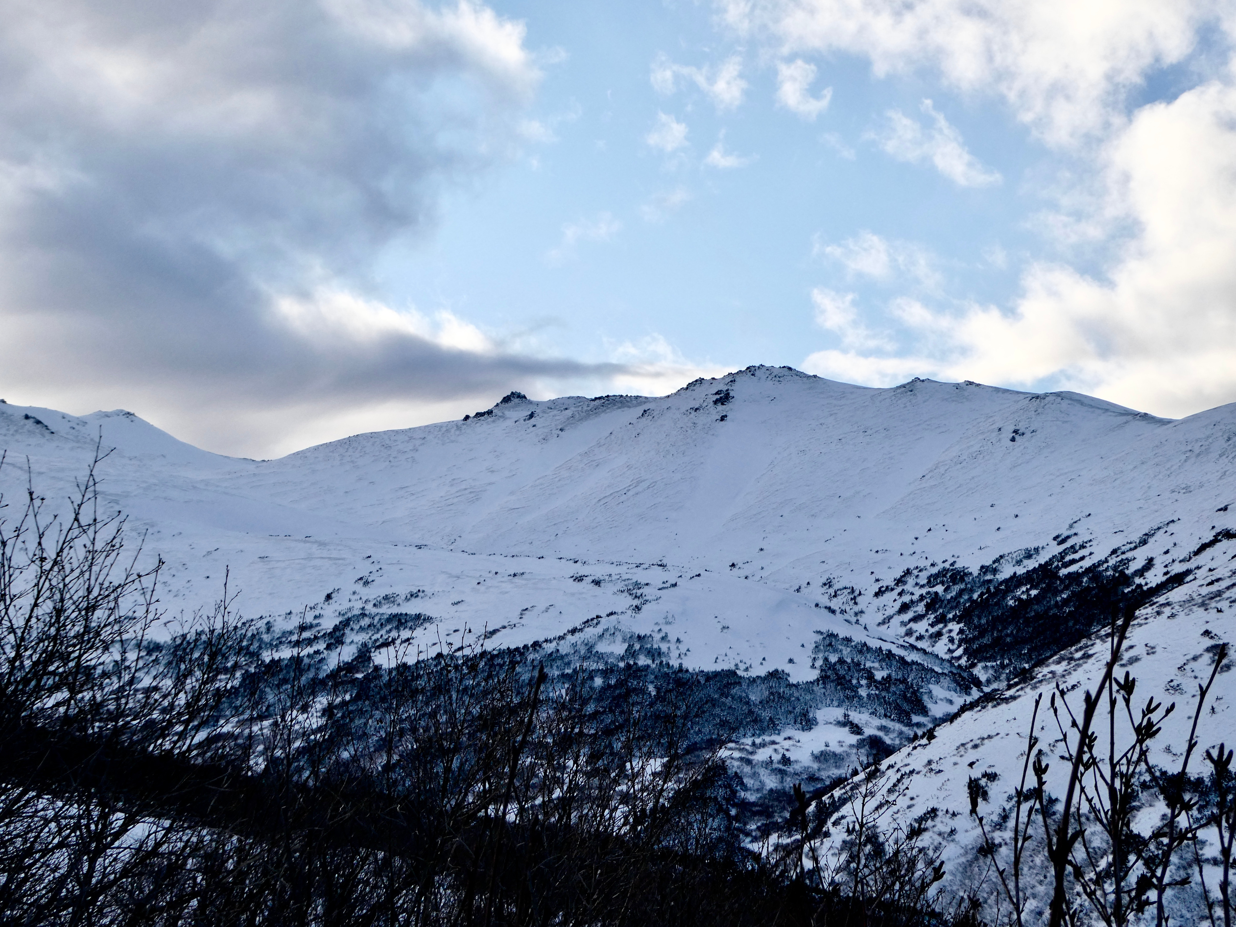
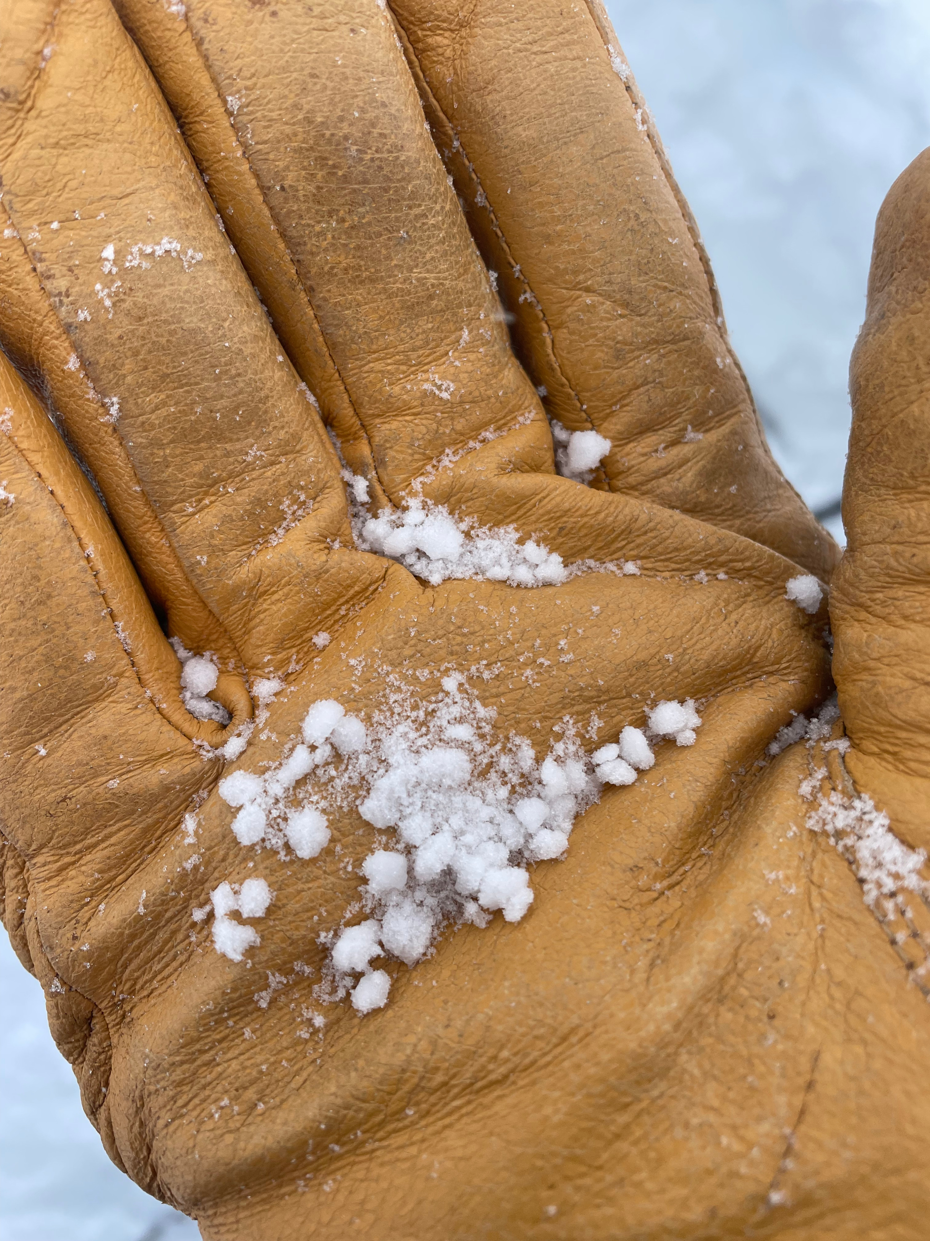
At the beginning of our tour we had mostly clear skies with little cloud cover. By the end of our tour, we had overcast skies. No precipitation. Light winds from the SW with occasional moderate gusts when we were near the ridge.
Snowpack
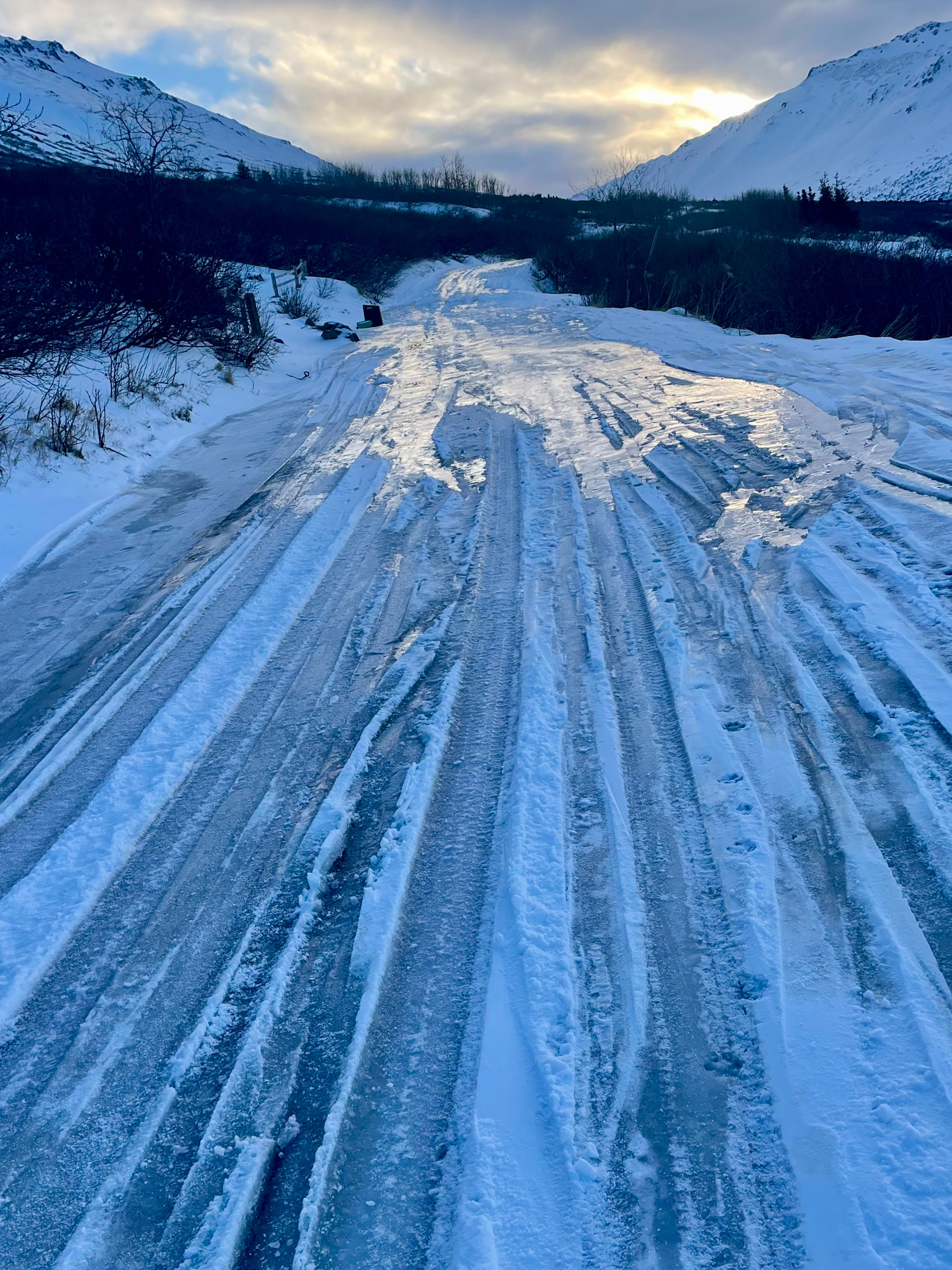
Snowpack coverage is still sparse- the landscape was ~4" of fresh snow on top of icy bare ground. The snow depth in the Peak 4 gully varied greatly from bare ground to over 6' of snow in the deepest part of the gully. There was no connected snow from the ridgetop to the wind-deposited snow in the gut of the gully. The snow in the gully turned to bare ground around ~3,700'.
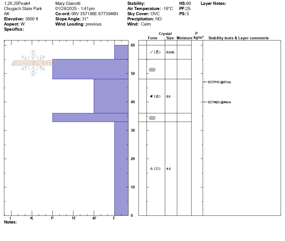
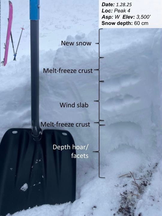
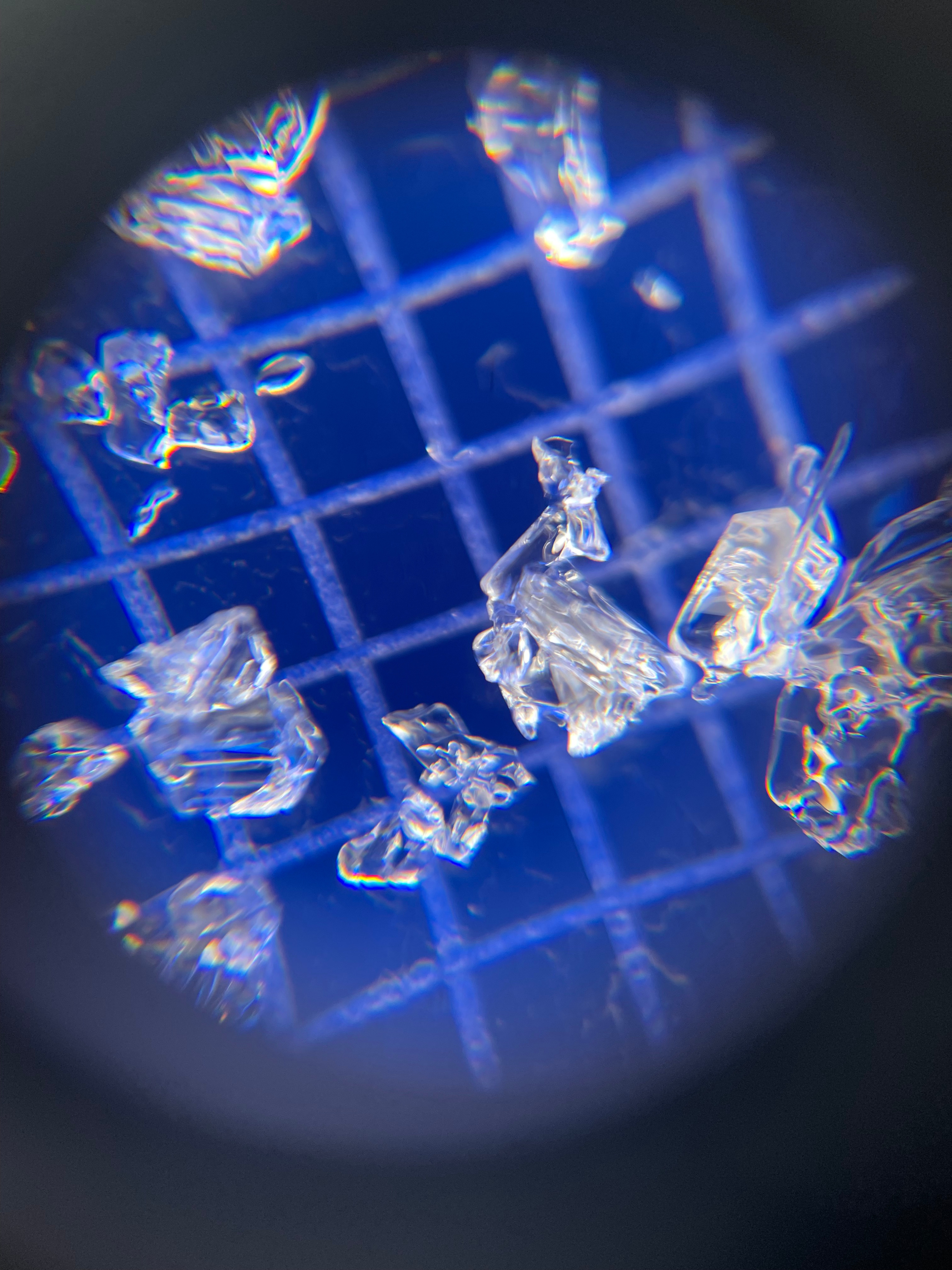
Our snowpit had ~4" of fresh snow on top of a thick 2" icy melt-freeze crust. We suspect that the thick melt-freeze crust formed during the intense weather events over the weekend- when the rain line crept up close to ridgetops. Underneath that thick crust was a wind slab that is metamorphosing to faceted snow grains. The base of the snowpack was 4-5mm developed basal facets with depth hoar that is capped with a melt-freeze crust. We did get some propagation in our pits between the faceted old wind slab layer and the upper melt-freeze crust.
We are tracking the basal facets and will begin to track the facets that could form around the upper melt-freeze crust. We haven't had any avalanches on these layers. The most documented avalanche activity this winter in the Front Range has been surface-level wind slab activity. However, the weak layers are something we are still tracking and keeping a close eye on.