
Quick report
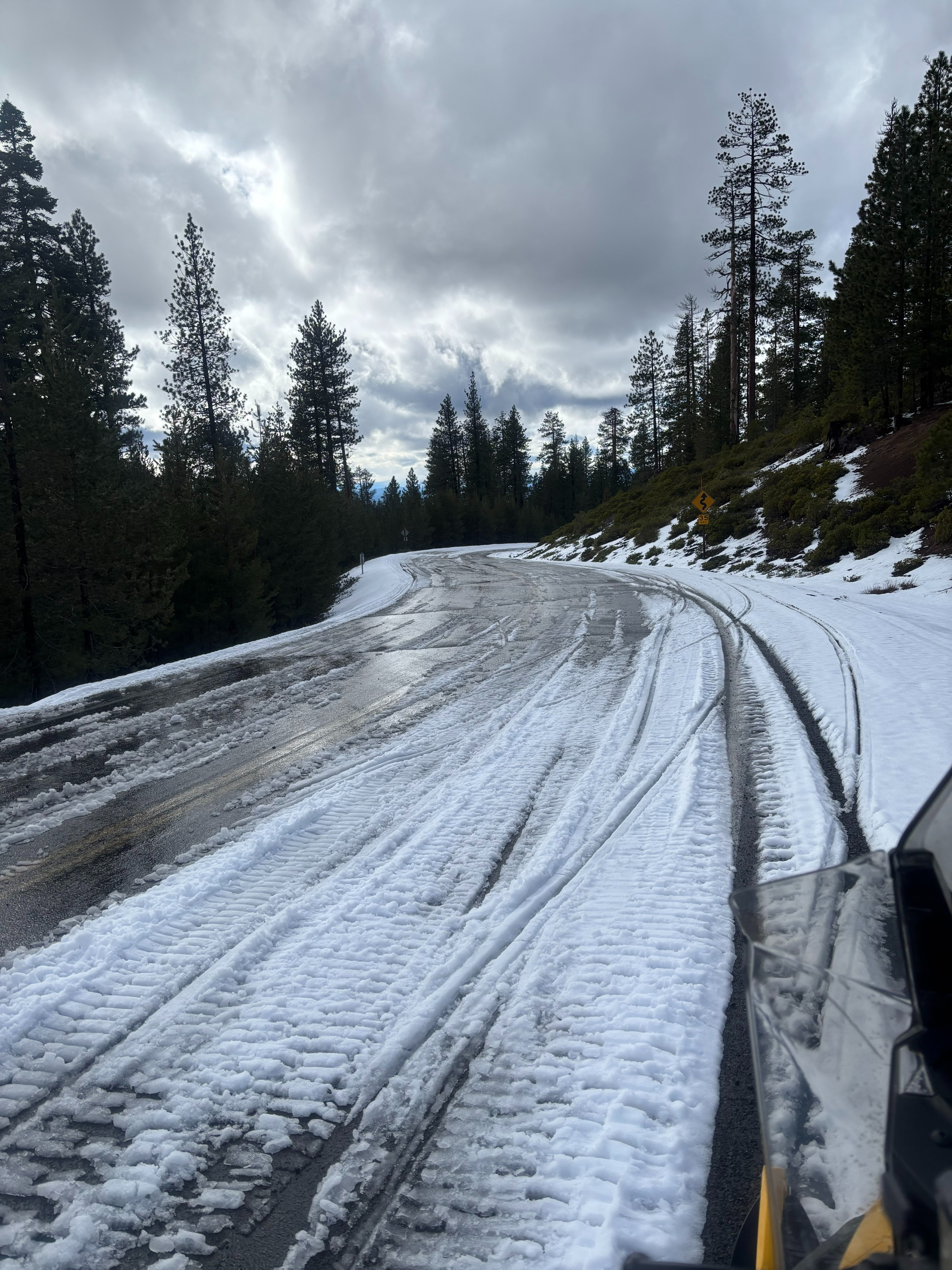
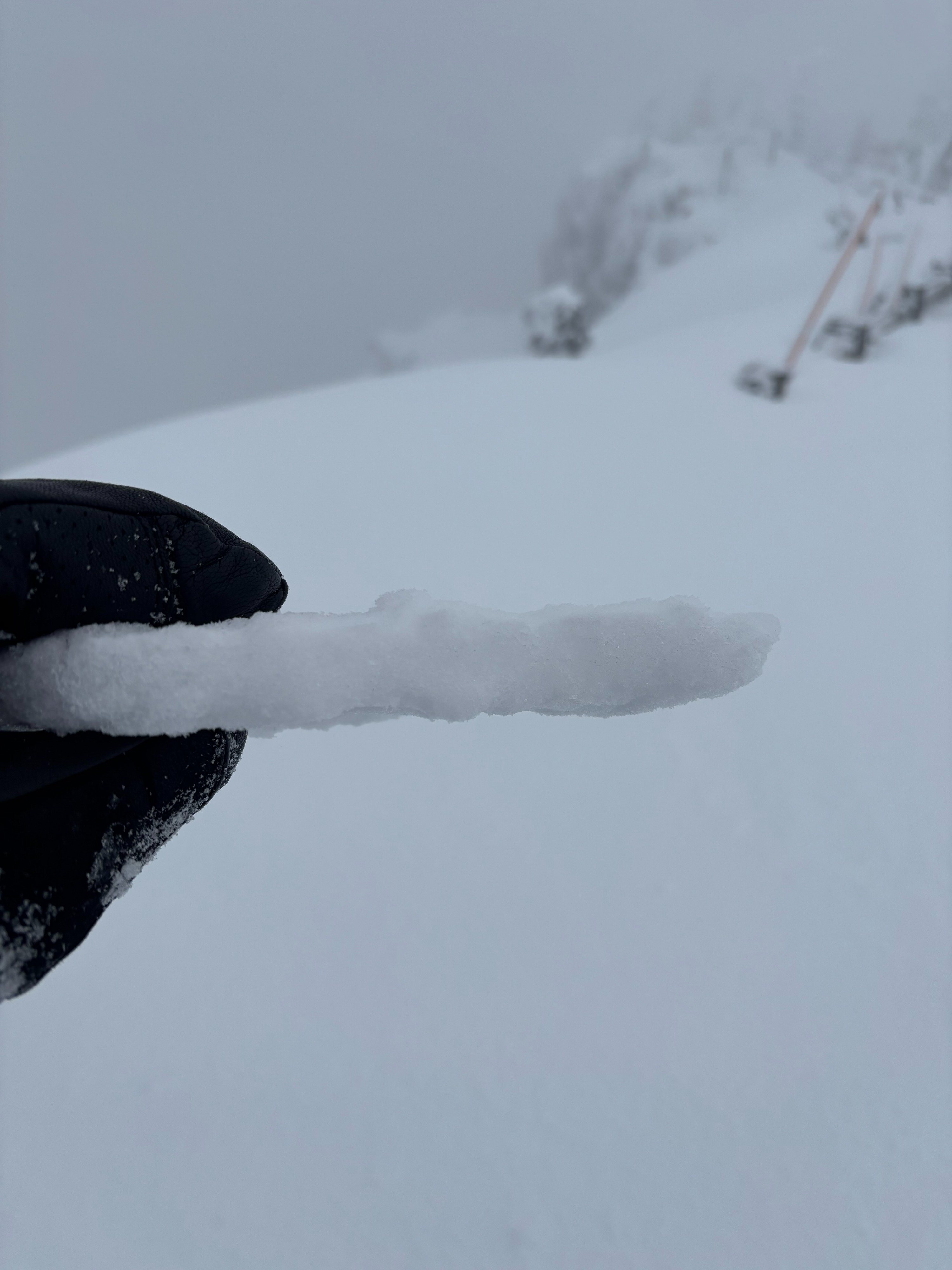
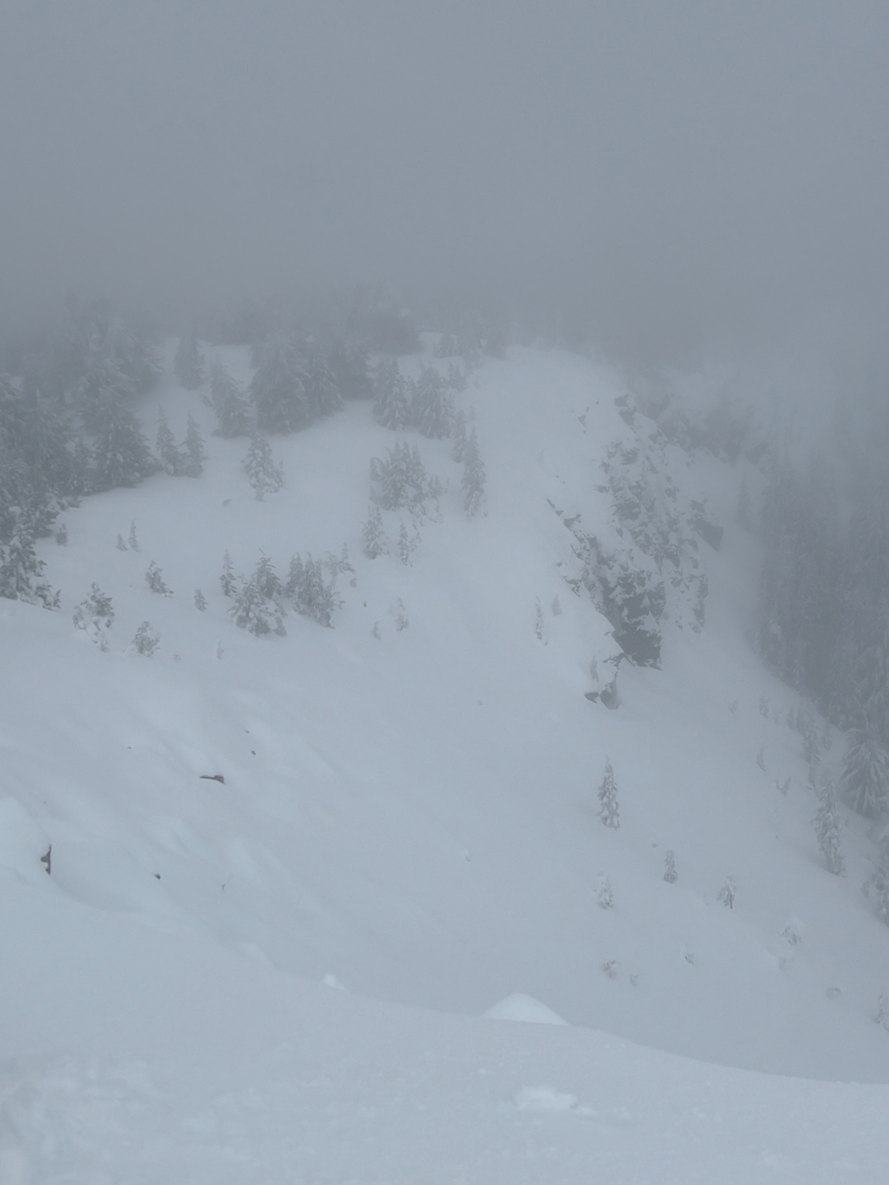
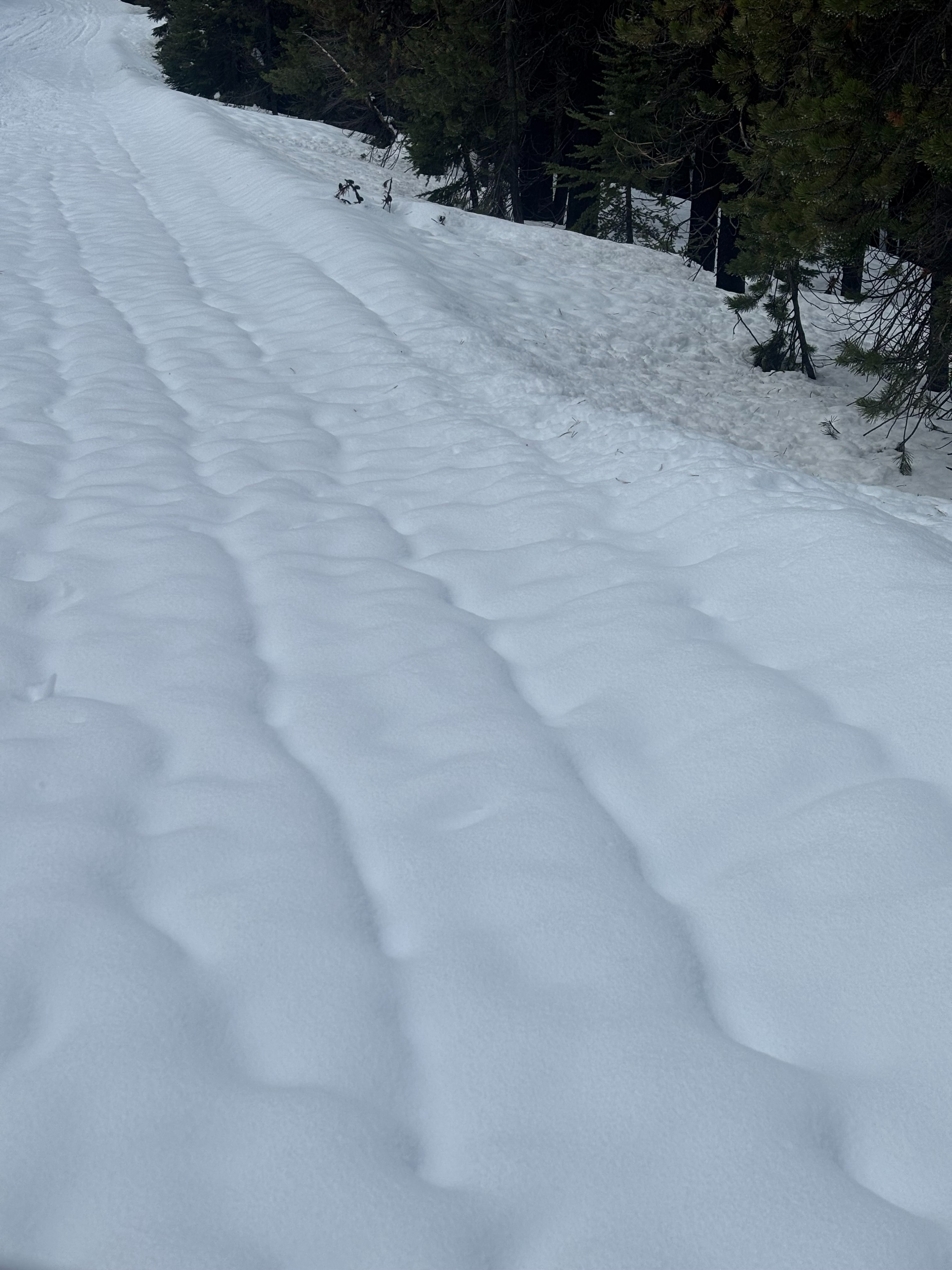
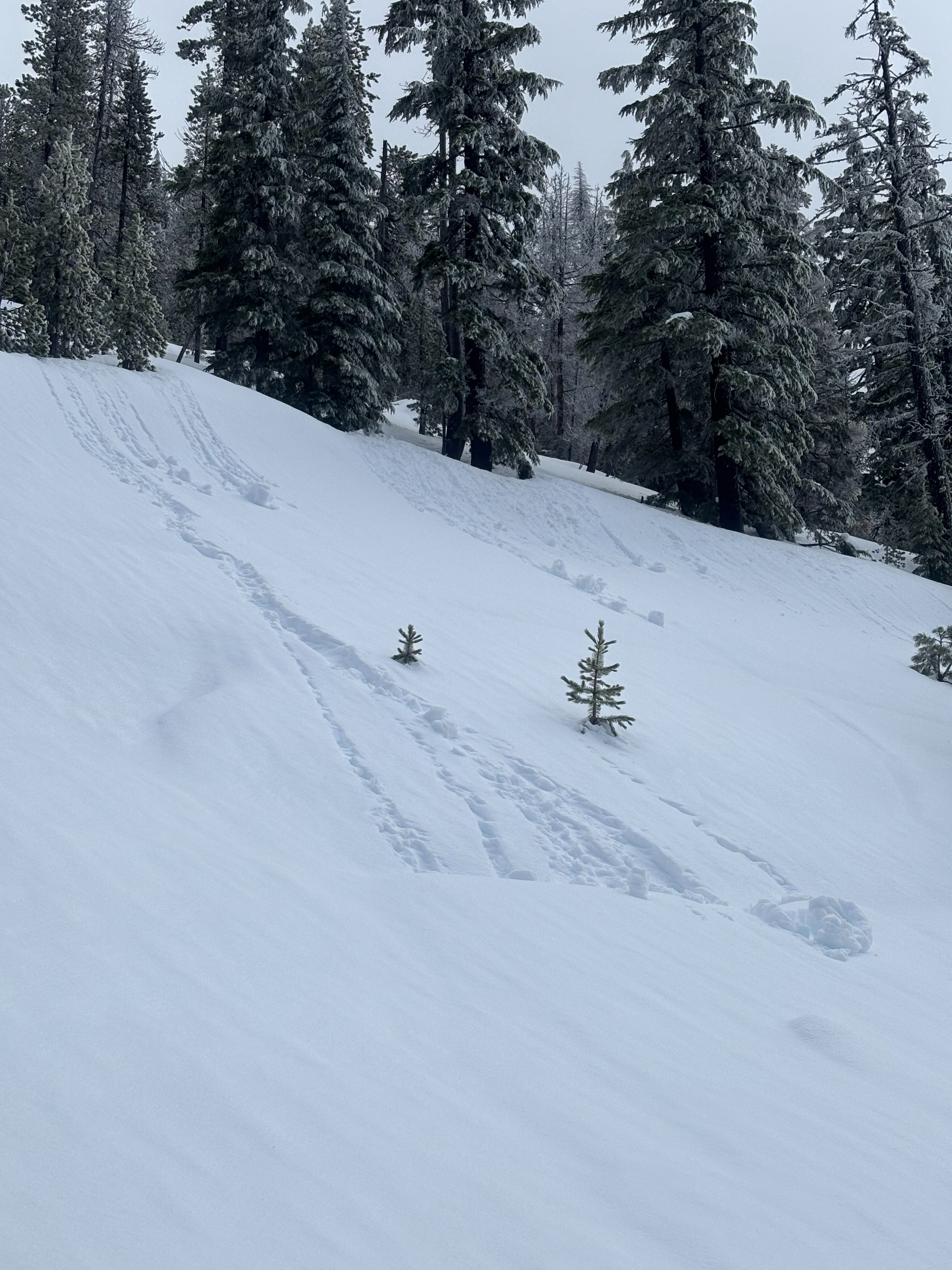
Toured around Paulina summit plateau on Wednesday 2/25. Rain Tuesday afternoon/evening did a number to snowmobile road and we're faced again with some bare sections lower down. Snow station at lake level (6390') showed about 8" of snow accumulation between 2/23 and 2/24 before temps climbed above freezing around noon on 2/24. I observed a widespread, mostly unsupportable, surface rain crust 2cm thick that went all the way to the peak of Paulina. Above 7200' was a light dusting on top of this rain crust (<1"). Underlying the rain crust was very saturated recent storm snow that I would describe as "slushy" for about 35cm before it started having some structure to it. I dug a pit on a NNW slope @ 7760' and found 185cm HS. HS depth leads me to believe that these upper elevations got over a foot of snow before switching to rain. Found the 2/8 facet layer 80cm below surface, appeared to be rounding and gaining strength since last field day (2/21). No notable stability test results on this layer at this location. Overall, I think the skiing would be best summed up as breakable crust on top of slush, i.e. very poor ski quality. Only sign of instabilities I observed was mid afternoon on the exit- rollerballs on steep solar slopes at lower eleevations. The morning remained overcast, with sky cover starting to break mid afternoon as I was exiting. Temperatures were warm, hovering around freezing at summit elevation. The good news is there was noticeably better snow coverage looking off the summit. Now we just need some soft surface snow...