
Quick report
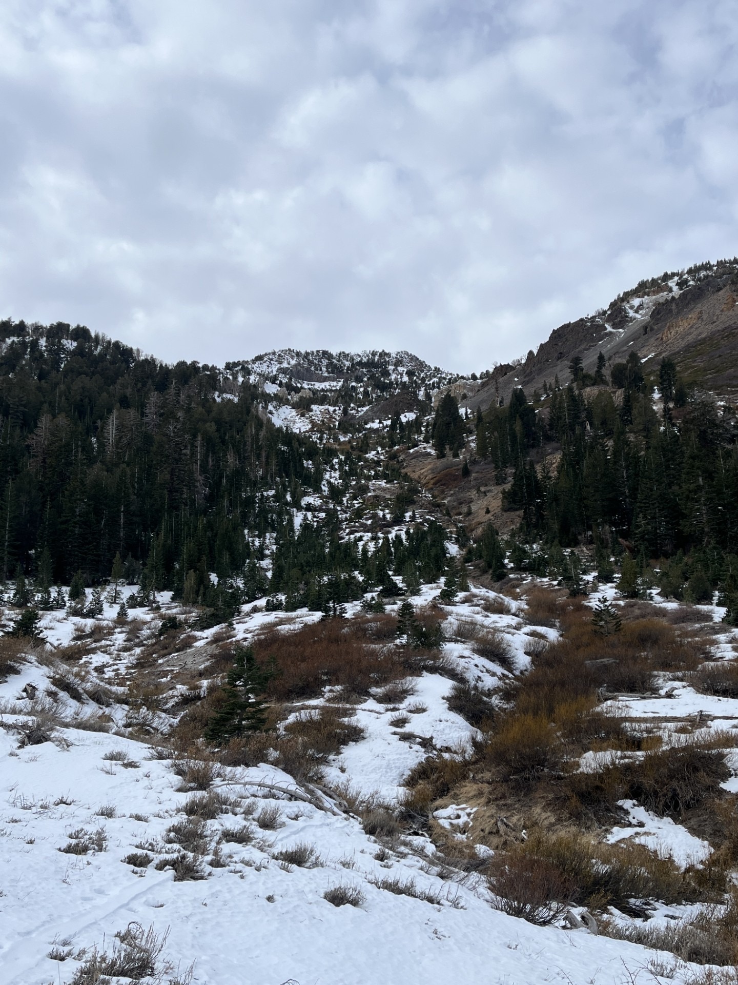
My goal today was to look at existing coverage and snowpack in north-facing cirques below the San Joaquin Ridge ahead of the incoming storm. I also wanted to see if the weak, faceted snow had been affected by recent warm temperatures, humidity, and rain.
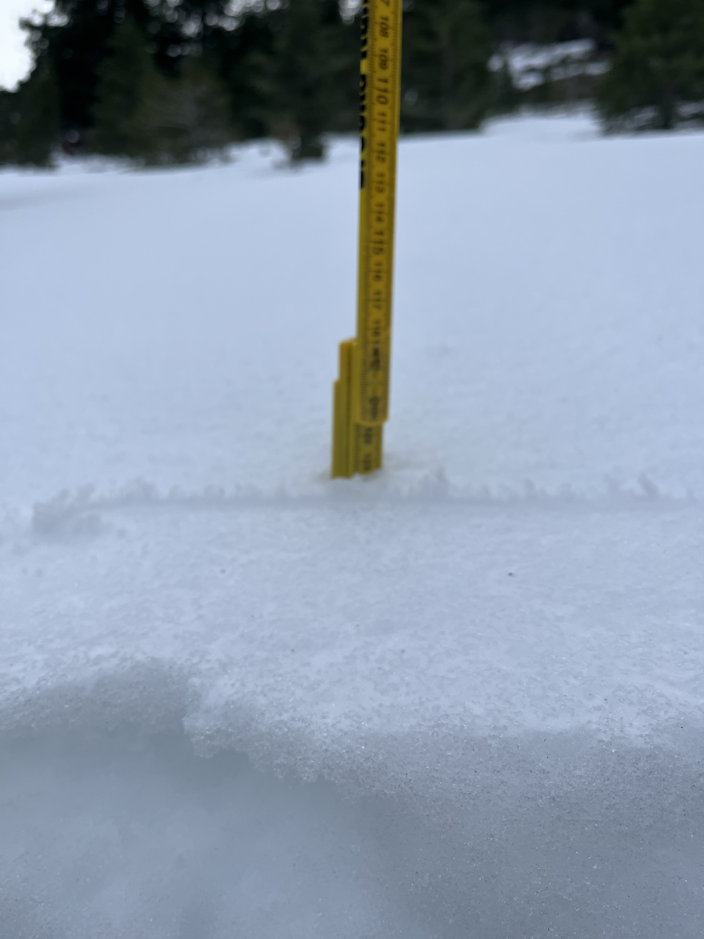
In general, coverage is decent and connected above 9500 feet except for on solar slopes. I found a 3 cm rain/humidity glaze on the surface of any snow between 8300 and 9500 feet. Recent reports suggest that this glaze goes up to 11000 feet in places. This layer also made travel more difficult as it supported some of my steps but not others.
When I dug in, I found the expected sandwich of facets and crusts. More interestingly, I found that the snow was moist throughout and denser than previously observed.
Solar slopes and terrain below 9000 feet are essentially void of snow.
Weather
- Air Temp
- 32
- Cloud Cover
- broken
- Wind Loading
- none
- Recent Snowfall
- none
- Snow Avail For Transport
- none
Mostly cloudy and breezy. Temps were right around freezing. A few flurries in the morning but nothing to report.
Snowpack
- HS on polars @ 9500 feet is 30 to 60cm
- Recent rain/humidity glaze on all snow surfaces at least to this elevation
- Subsurface is still a hodge-podge of facets and crusts, but snow is moist to the ground
- Snowpack is equitemperature top-to-bottom, suggesting it was indeed affected by rain/temps/humidity.