
Quick report
Lots of people out in VA Lakes zone as expected. Most seemed to be in Red Lake Bowl or over on South and Olsen.
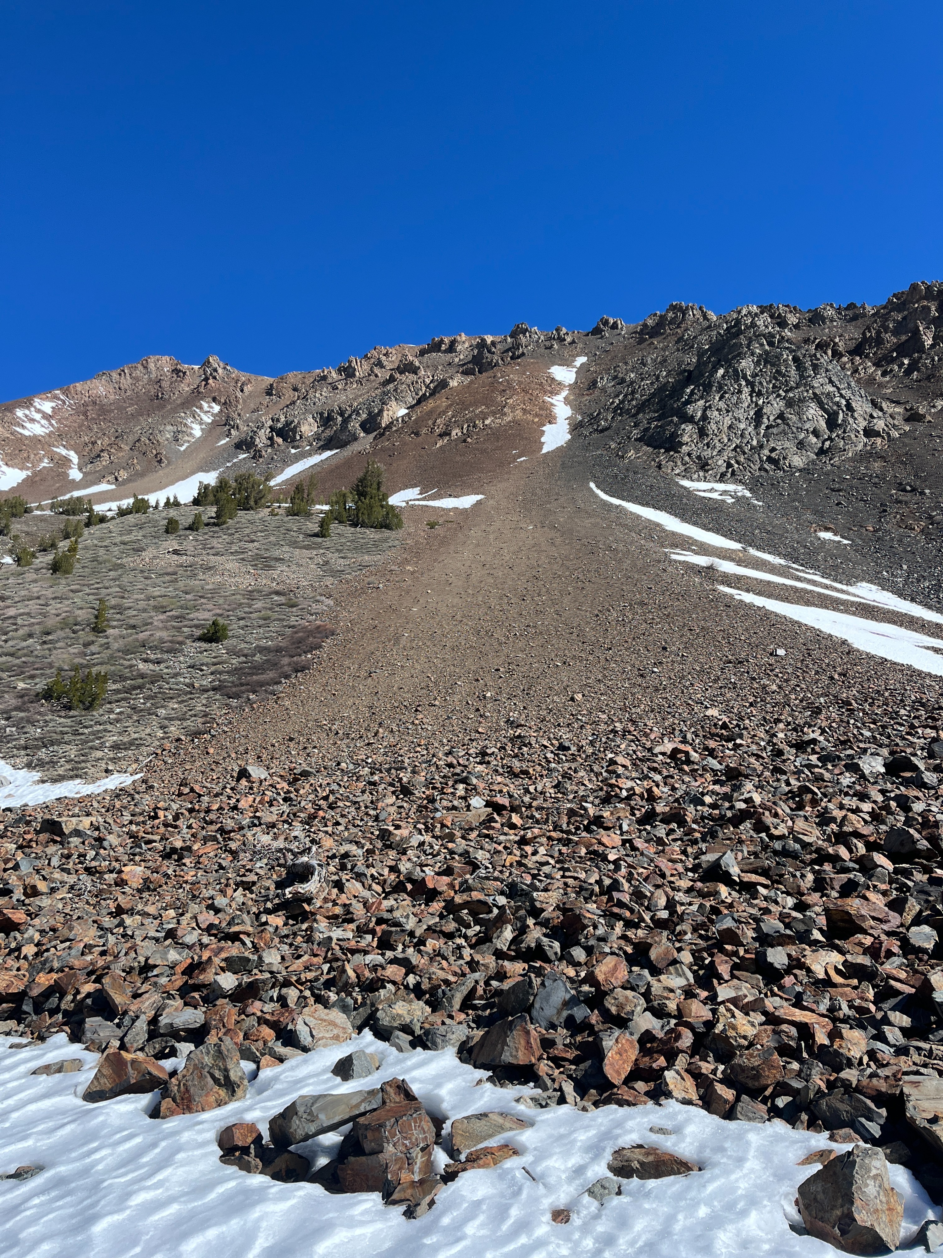
Depending on where you are going, you can get on snow from the car. It was cold in the morning and snow surfaces were frozen.
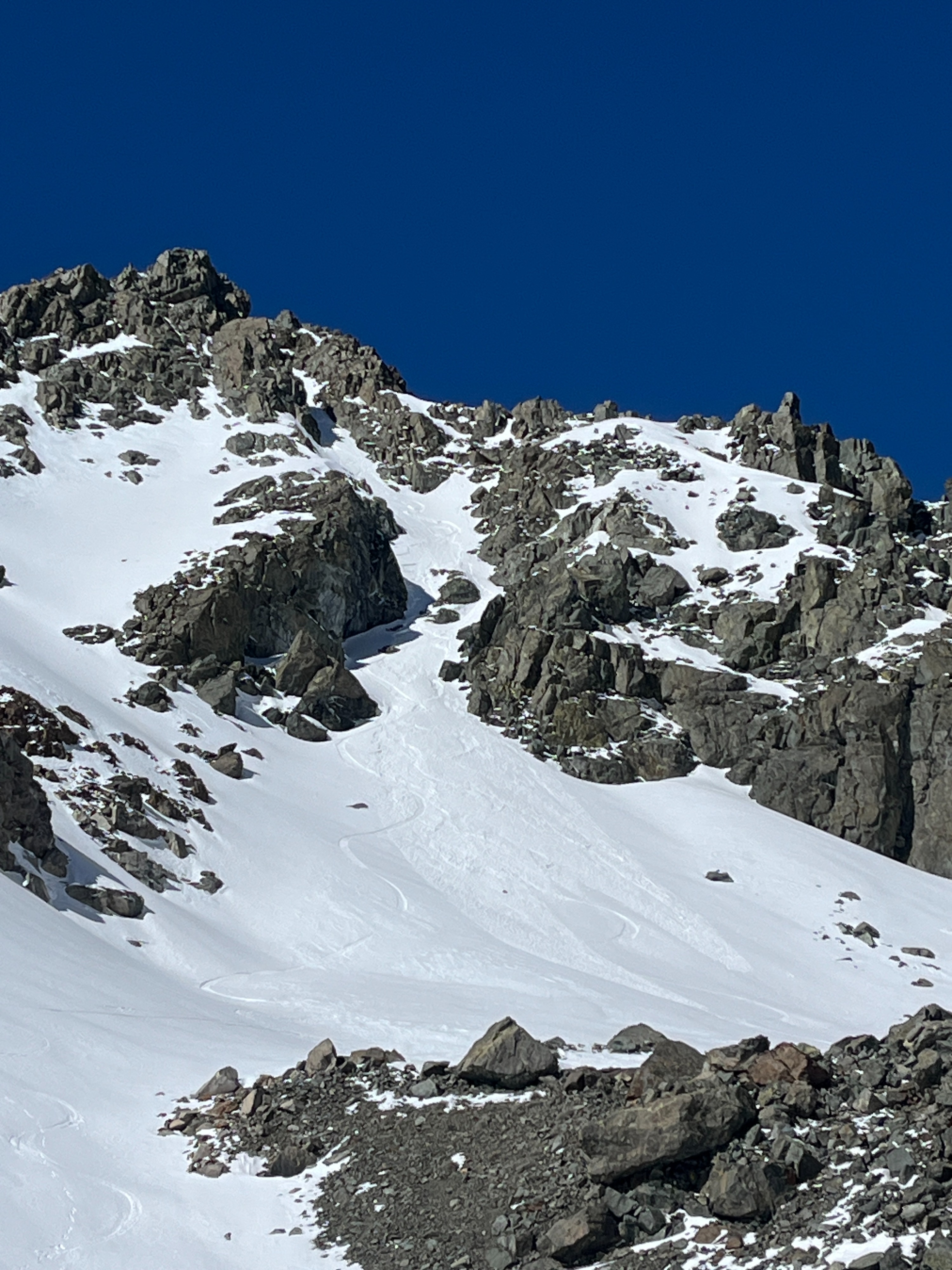
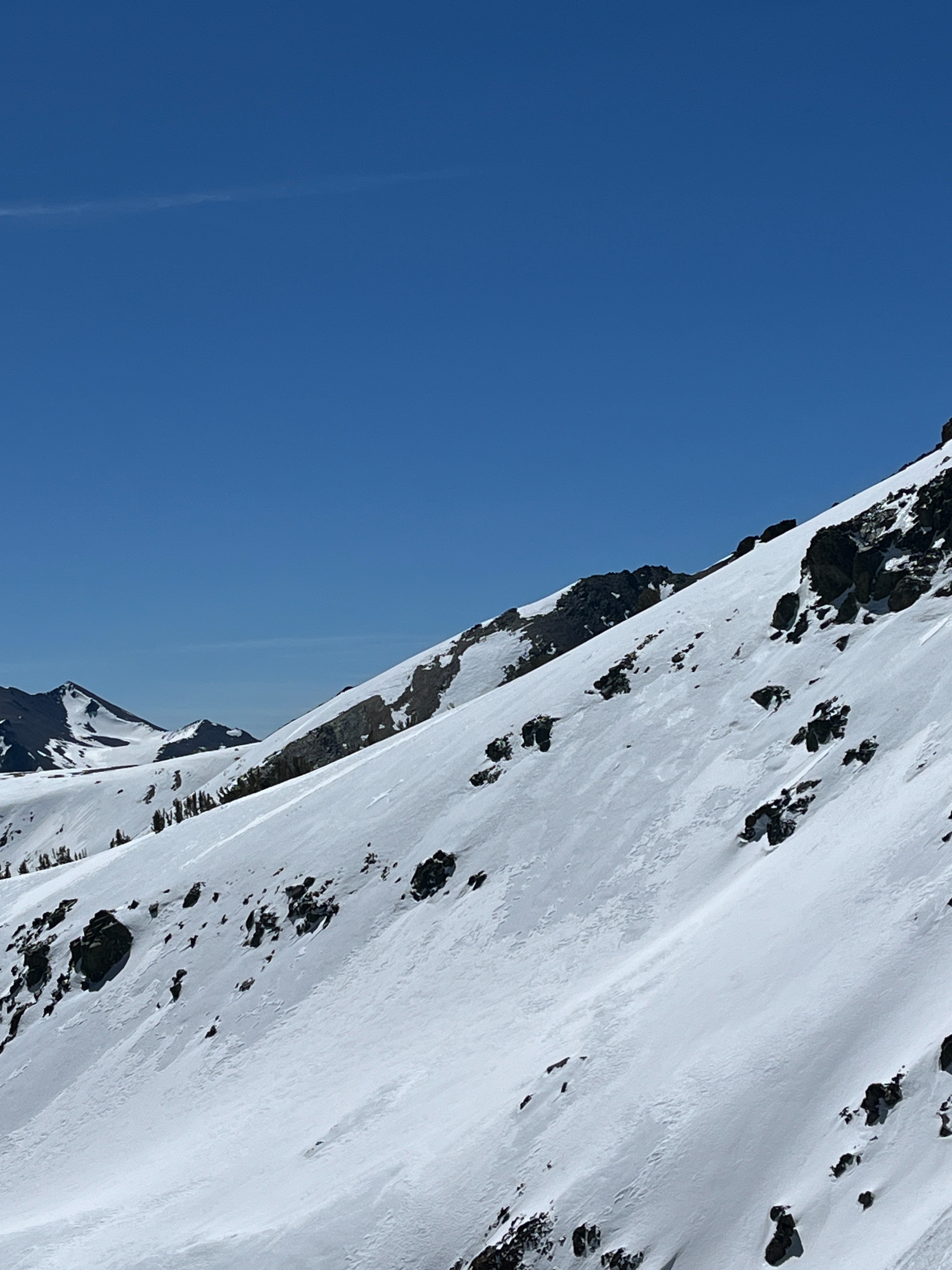
It is hard to tell how much new snow has fallen due to redistribution by extreme winds on 4/2, but most new snow has been deposited in shallow drifts and slabs on north and east slopes above 10000 ft. I got a look at a rider triggered D1 wind slab avalanche on a NE aspect at 11000 ft. More info in the avalanche section.
SE, S and SW aspects are essentially completely snow free.
On E, NE and N, surfaces are variable including old melt/freeze snow, and soft, punchy or stiff wind deposits of new snow. New snow on E aspects was warming and becoming sticky around 1130 am.
I observed a day old, skier triggered D1 wind slab on a northeast aspect at 11000 ft.Weather
- Air Temp
- 35 to 40
- Cloud Cover
- clear
- Wind Loading
- previous
- Recent Snowfall
- 0 to 2"
- Snow Avail For Transport
- small smounts
Nice day. Cold morning, warm day, clear skies and light winds.
Snowpack
Surfaces were mostly old melt/freeze snow.
New snow had been drifted by winds onto north and east slopes, and in gullies and couloirs. It sat on top of a slippery melt freeze crust.
Average depth of new drifted snow was 3 to 6", with isolated pockets up to 12".
I was unable to get any results out of small wind slab test slopes despite my best efforts.
Avalanche
- Size
- D1
- Type
- SS
- Aspect
- NE
- Trigger
- AR
- Elevation
- 11000 ft
Unintentional rider triggered D1 wind slab avalanche on NE aspect at 11000 ft. 6-8" deep, 200 vertical feet long.