
Quick report
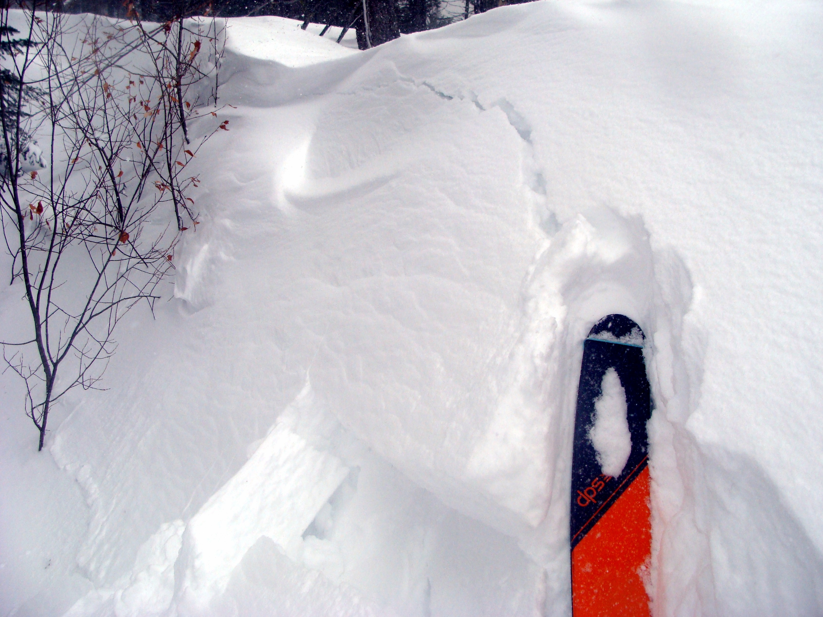
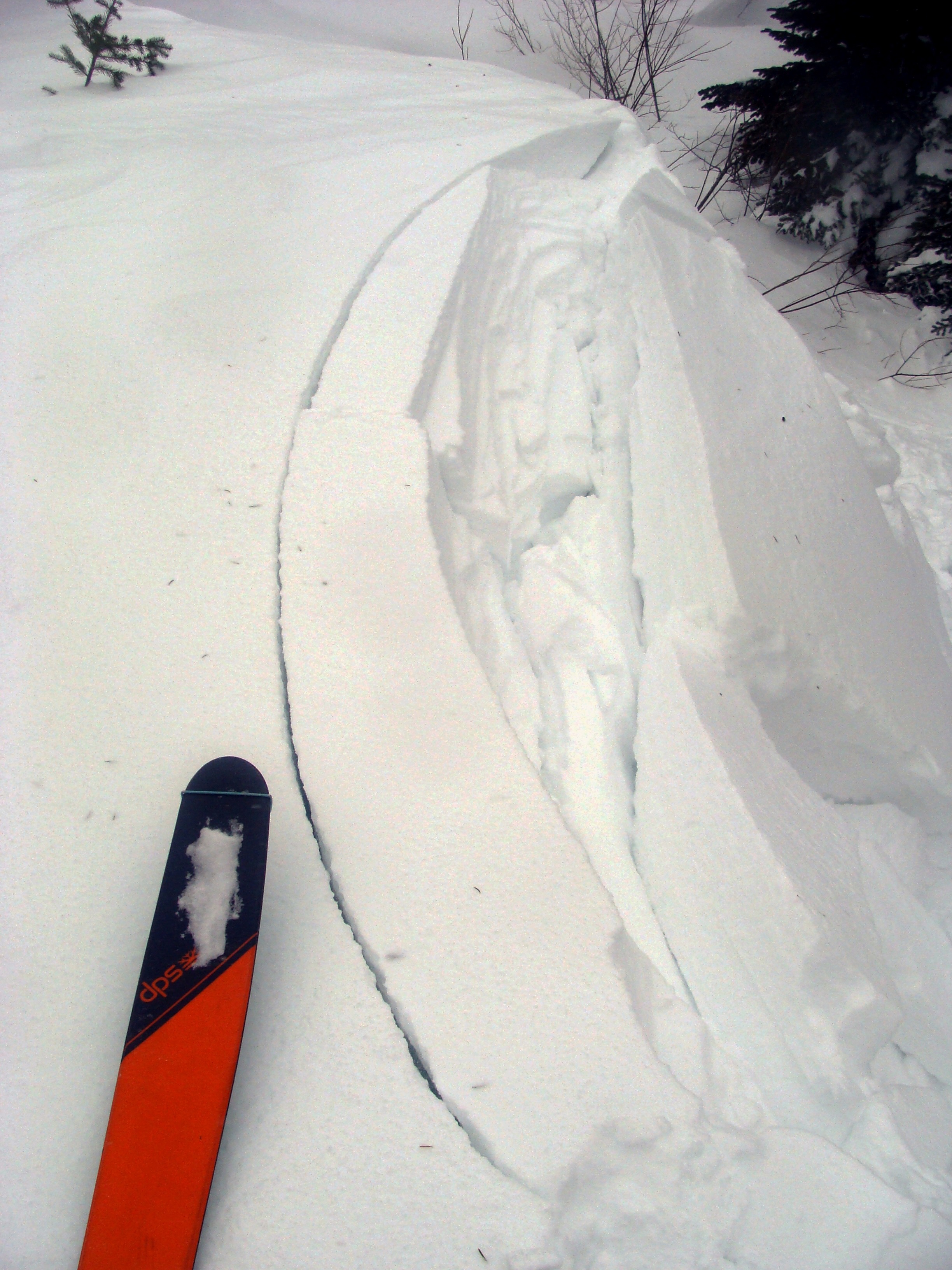
- Cracking
- isolated
I chose the windy southern Apgar Range to monitor wind slab development and to take a closer look at the snowpack structure in an area with a skier-triggered slide ten days prior.
- At 3300 feet, 6 inches of loose, dry snow rested on a rain crust. Above 5000 feet, up to 10 inches of loose, dry snow rests on older settled snow. The rain crust disappeared around 4200 feet.
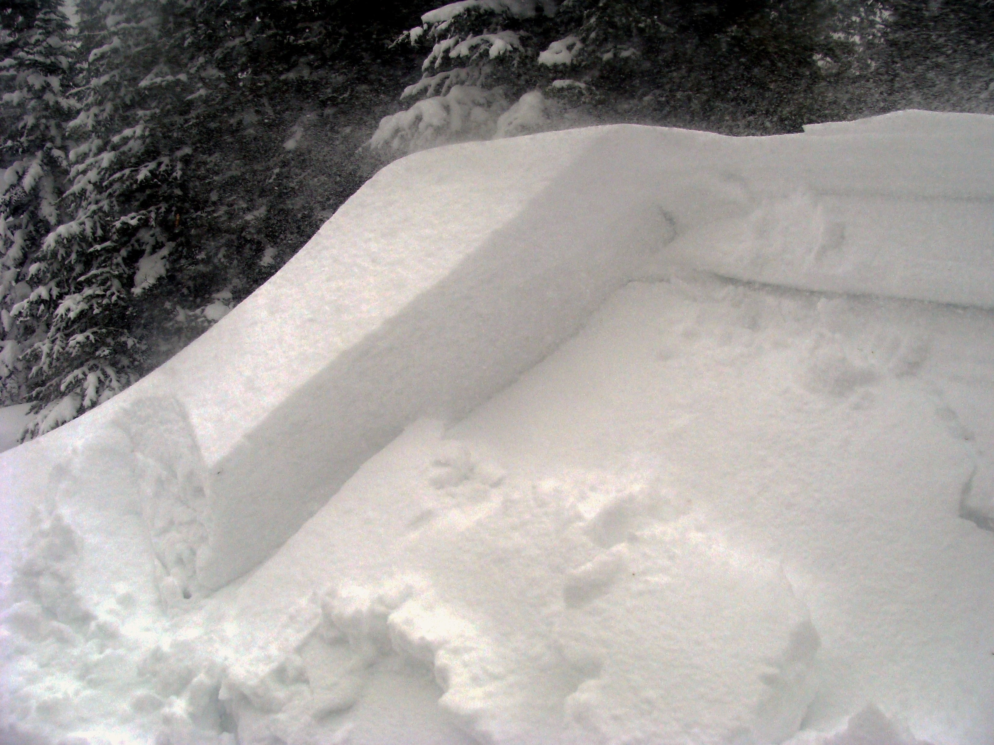
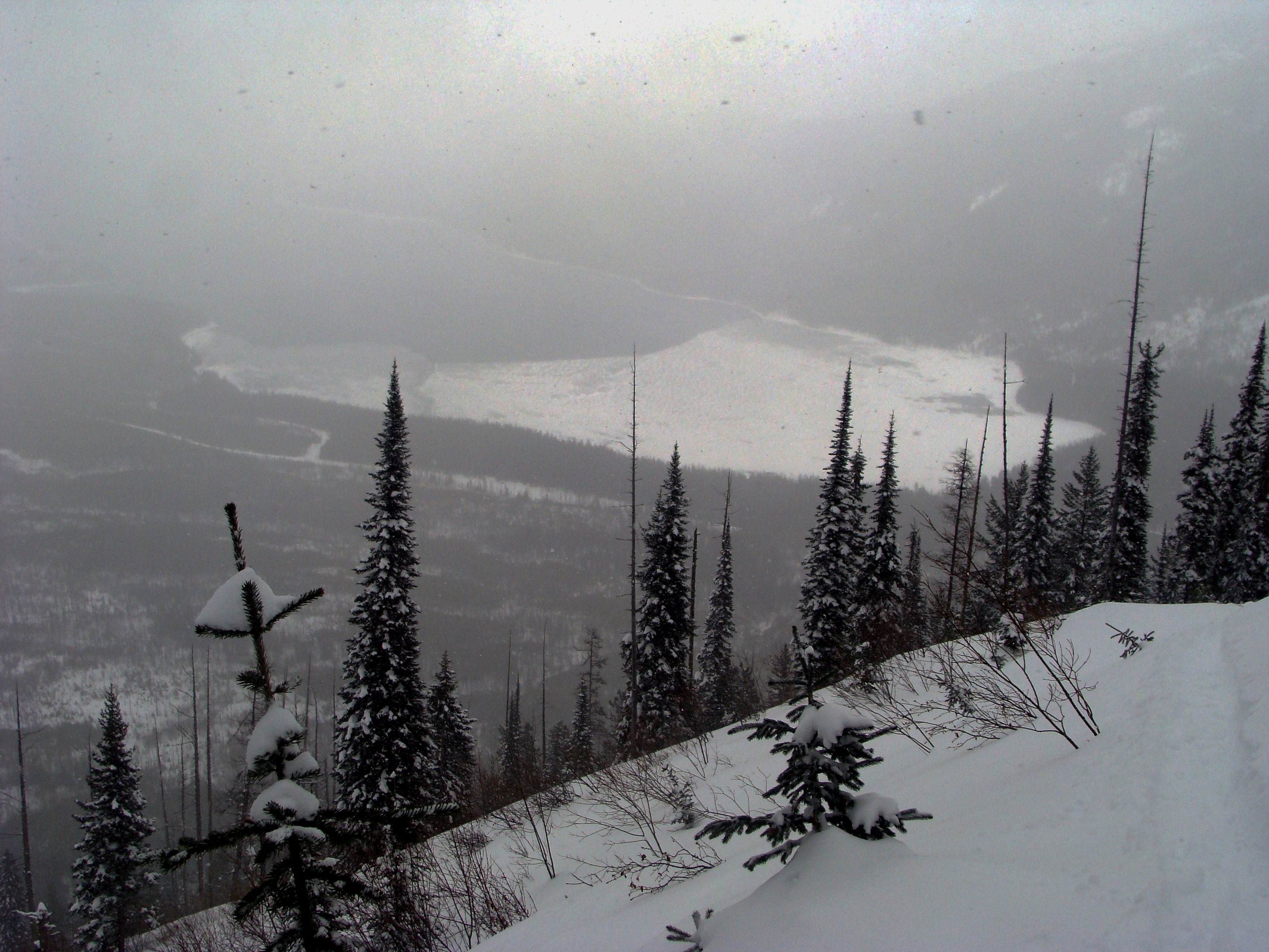
- Moderate to strong winds and blowing snow were observed from the valley floor to the ridgeline.
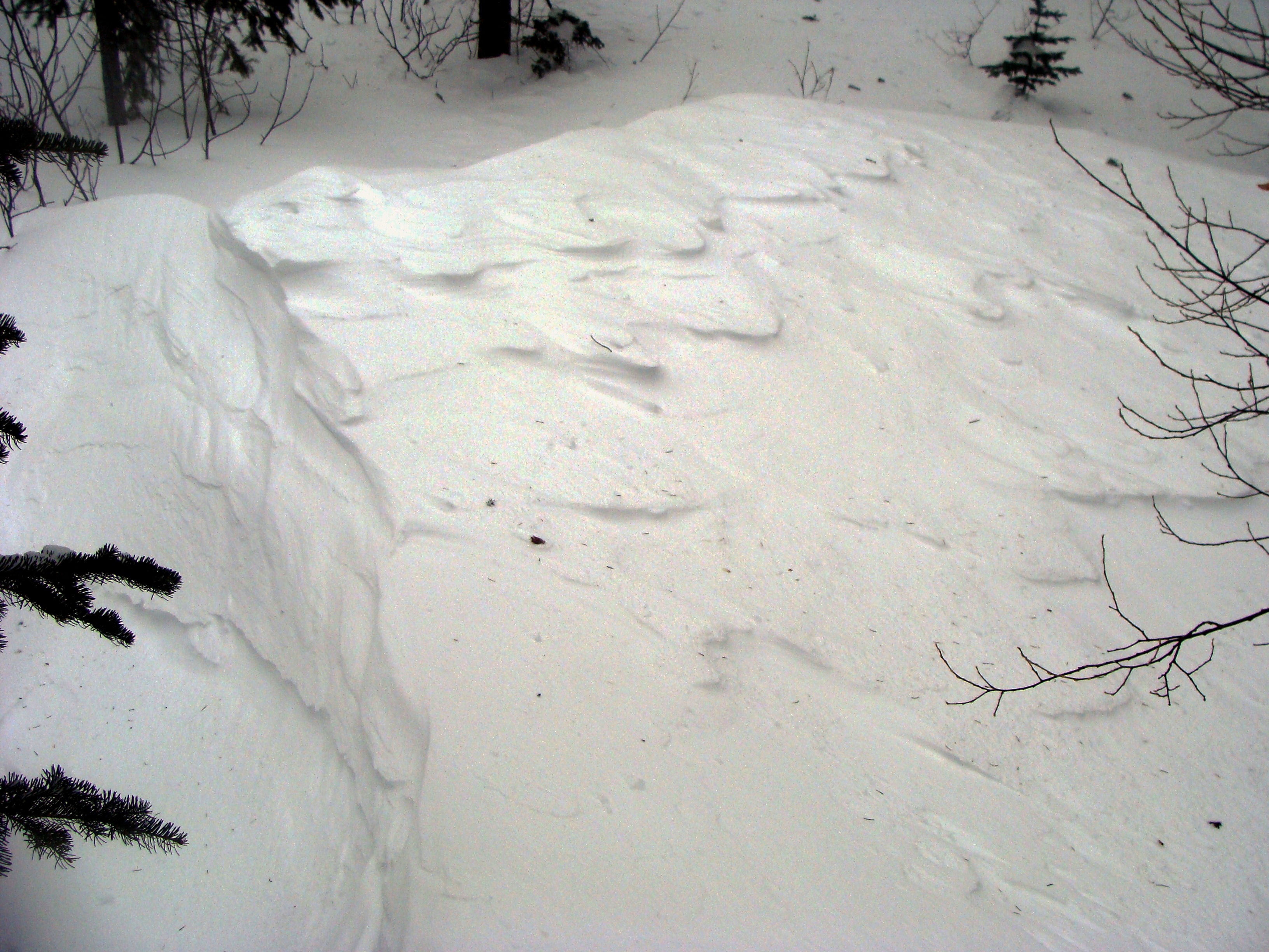
- On and directly below ridgelines were the only spots where slabs and cornices were cohesive enough to be reactive to my weight. They were very soft elsewhere.
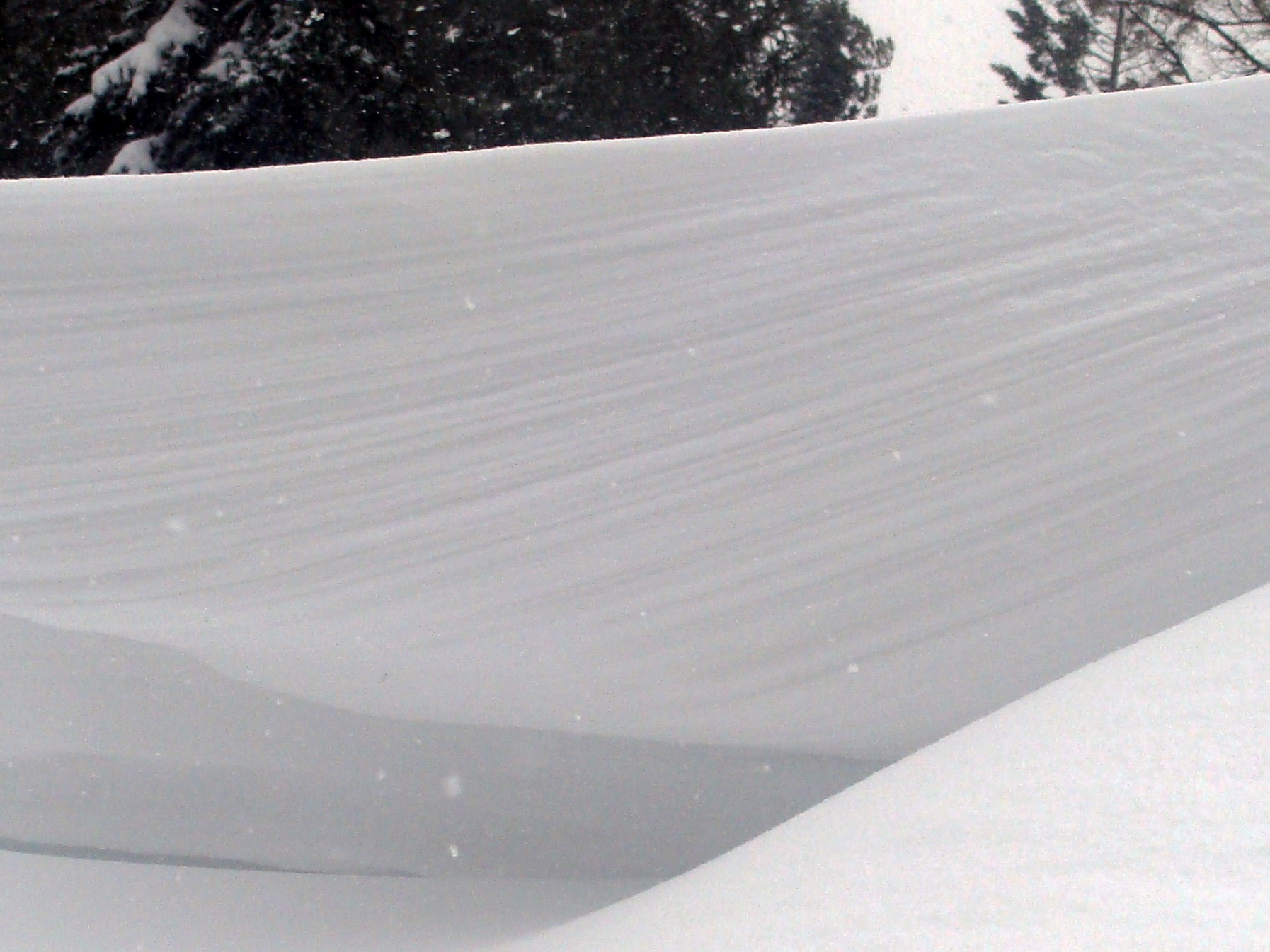
- Saddles on the ridgeline provided the most excitement. This is where winds funneled and cranked, resulting in cornice and slab development.
- Fresh drifts throughout the tour were soft but up to 30 inches thick.
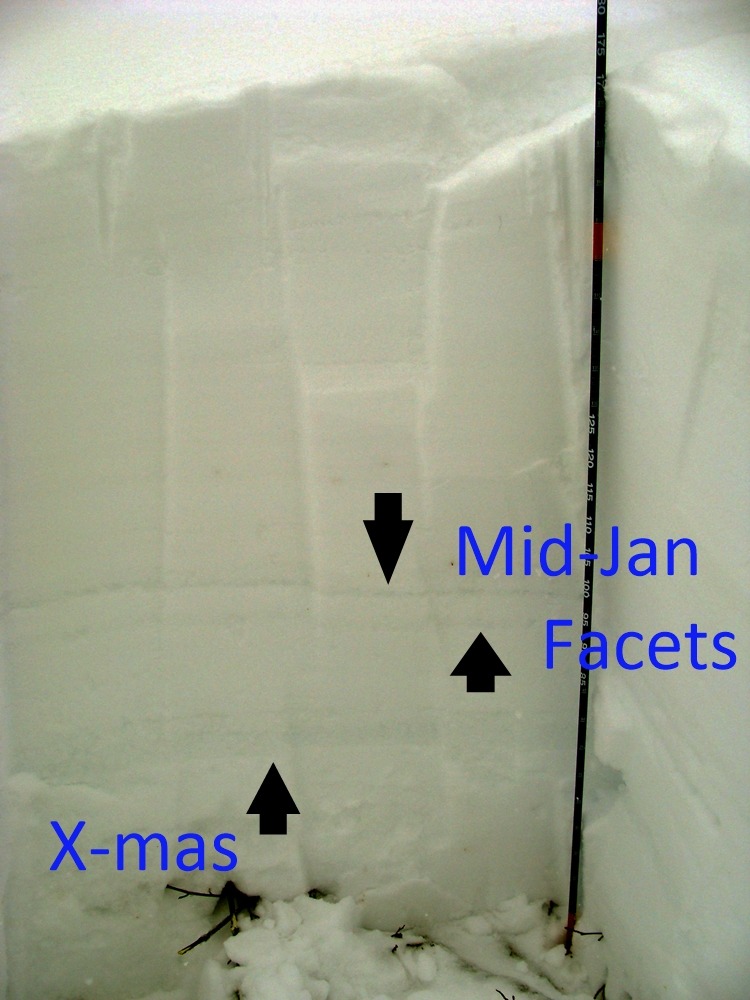
- A snowpit revealed the Christmas and mid-January crust, but snowpack tests resulted in ECTX.
- Good riding conditions in areas not scoured by the winds.
Weather
- Air Temp
- 24
- Cloud Cover
- obscured
- Wind Loading
- moderate
- Rain Elevation
- 1000
- Recent Snowfall
- 2
- Snow Avail For Transport
- moderate amounts
Moderate to strong shifting winds on the ascent up an east-facing slope. The north-south ridgeline had sustained southwest winds. Light snowfall throughout the day resulted in minor accumulation.
Snowpack
We dug a pit at 5350 feet on a northeast aspect. HS=178 cm with the mid-January crust down 65 cm and the Christmas crust down 91 cm. Large and small column tests provided surprisingly strong and stable results of ECTX and CTH. The failure layer is a 1 cm thick faceted layer down 68 cm.