
Quick report
- Cracking
- specific
Went for a jaunt around the McGee area to assess how difficult travel would be, and to see what snowpack make up is like in the area. Conditions were changing, and required continual assessment of route and terrain choice. I chose to travel on scoured ridges, or on protected slopes, avoiding actively loading start zones and features.
Still very difficult travel below 8300' (395 is 6900' in area). Snowpack is variable - largely dependent on aspect, specific terrain features, and terrain makeup beneath snowcover.
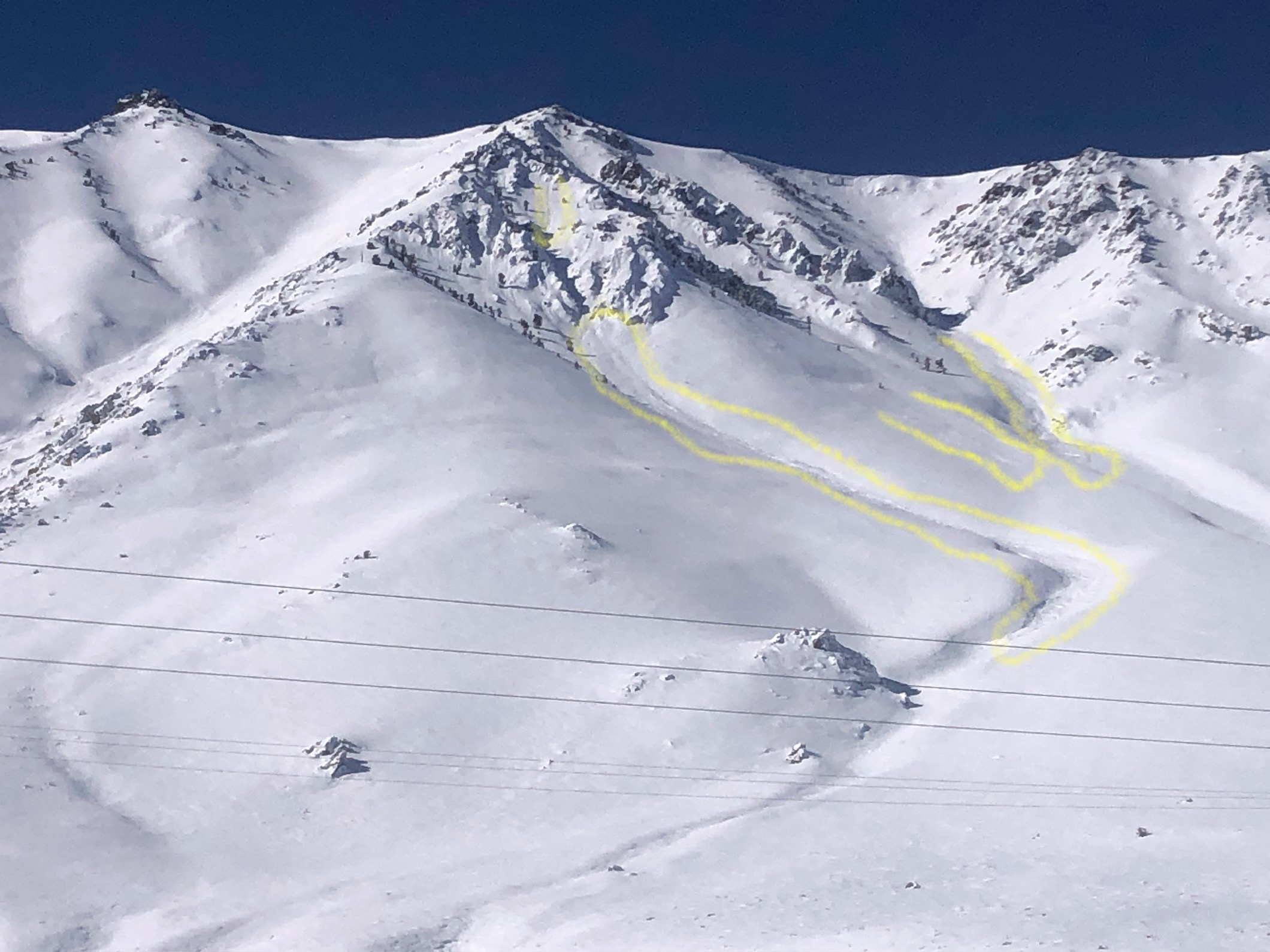
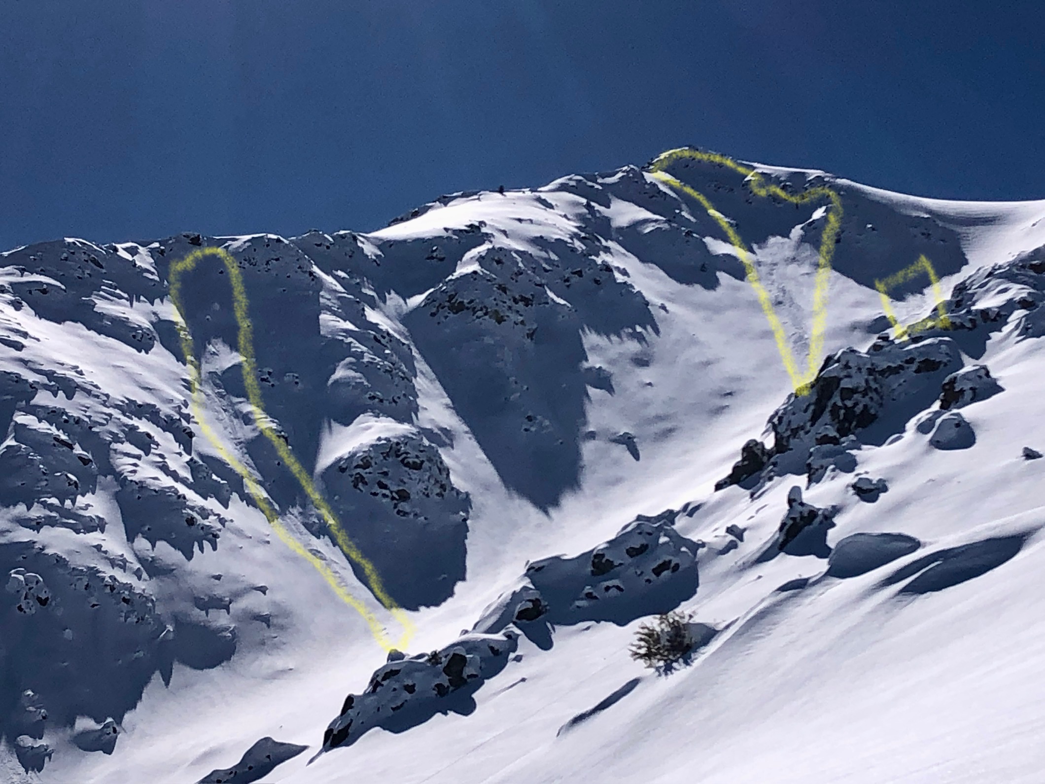
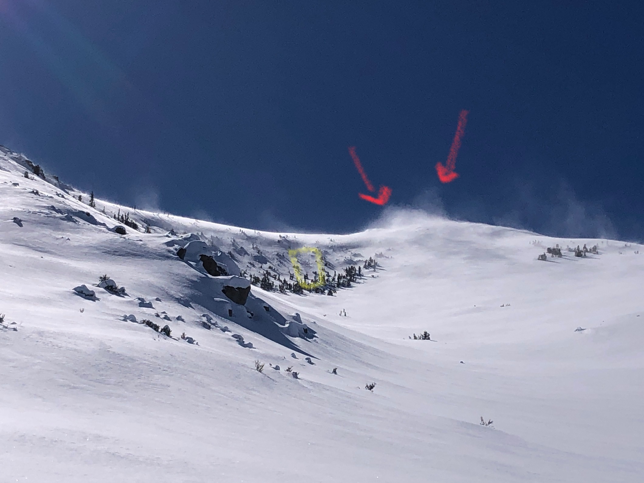
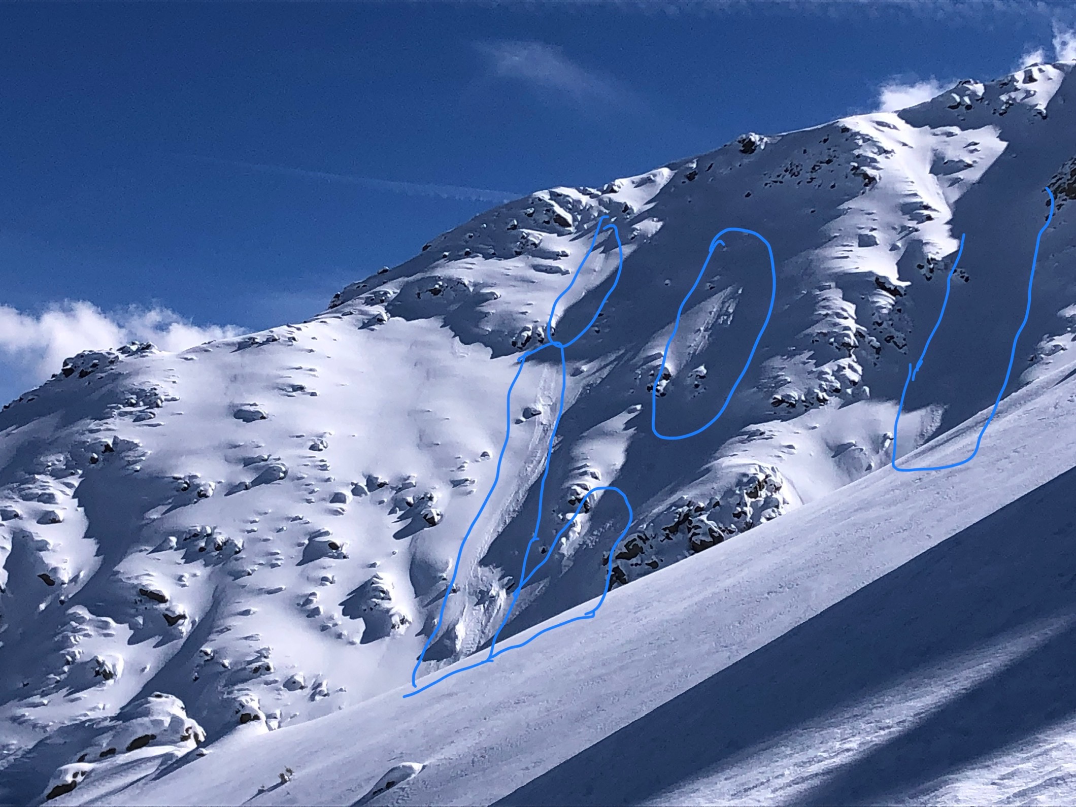
Viewed many small loose dry avalanches and some larger wind slab avalanches. Experienced substantial wind loading as I gained elevation. Wind slabs were present from yesterday, and also wind skins were actively forming whilst I was traveling on certain slopes.
Depth hoar is still intact and present in the area in a multitude of ways and locations (see snowpack obs). Various other layers in the upper snowpack did not show reactivity today, but are noted. A wind buff layer exists on Northerlies, and MF crusts exist on southerlies. MF crusts exist on all aspects below 8300' where I traveled today, just at varying depths and thicknesses.
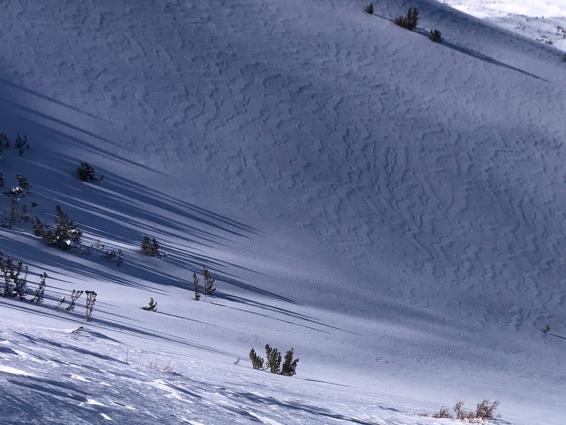
Cracking underfoot was largely a result of the way wind and wind loading deposits in this area. I was largely using terrain to avoid loading areas as avoiding avalanche terrain is difficult in this area. But, in exposed areas of lower angle terrain, I found cracking underfoot. It increased as the wind loading continued.Weather
- Cloud Cover
- scattered
- Wind Loading
- moderate
- Recent Snowfall
- 15 - 35 cm
- Snow Avail For Transport
- large amounts
A cold, still morning changed quickly as winds picked up throughout the day. Temperatures got warmer, and cloud cover increased as a storm blew into the Mammoth area.
Snowpack
Below 8000' - snow was supportable in spots and unsupportable in others - sagebrush not fully covered. Wasn't too bad, but definitely not easy travel. Was crusty (breakable in spots) by afternoon refreeze
8800' SE - HS 70 cm - 4-6 mm DH @ bottom, beneath smattering of MF crusts, Ice lense, various MF crusts throughout.
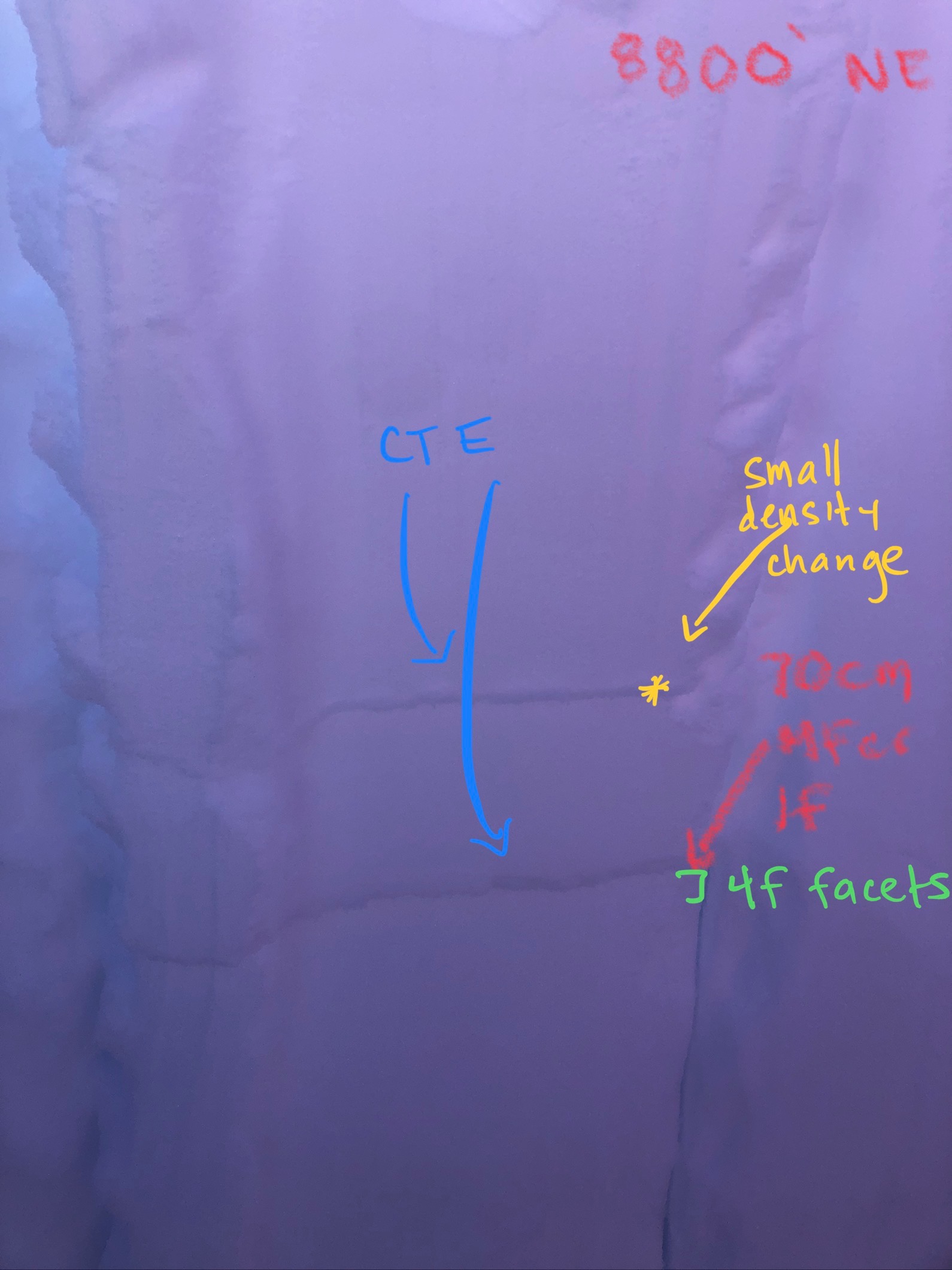
8800' NE - HS 130 cm - Right side up snowpack for 100 cm EXCEPT for MF crust with faceting above and below @ 70 cm. 1 cm crust, 1 F. CT 8 on this layer. ECTN. This is a layer we are tracking (2/14). P hard just above 100 cm down = 2 - 3 mm 4F FACETS on top of a smattering of MF crusts, Ice Lense, 4-6 mm DH @ bottom, very much defined and intact. Terrain specific where ground anchors were and were not present. Facets above many ground anchors.
9500' NE (protected) - 120 cm - 4 cm wind skin, over right side up snowpack until bottom 30 cm. MF crusts and DH present. No Ice lense. Terrain specific where ground anchors are and are not present in this area...
Avalanche
- Size
- D1
- Count
- 3
- Aspect
- NE
- Trigger
- N
- Elevation
- 9500 ft
Recent Loose Dry avalanches off of a steep a NNE ridge.