
Quick report
It has been hard to get high enough and dig deep enough to investigate the old snow that existed before the Christmas storm cycle. Our goal today was to seek out the old interface in the June Lake area, and run some tests on it.
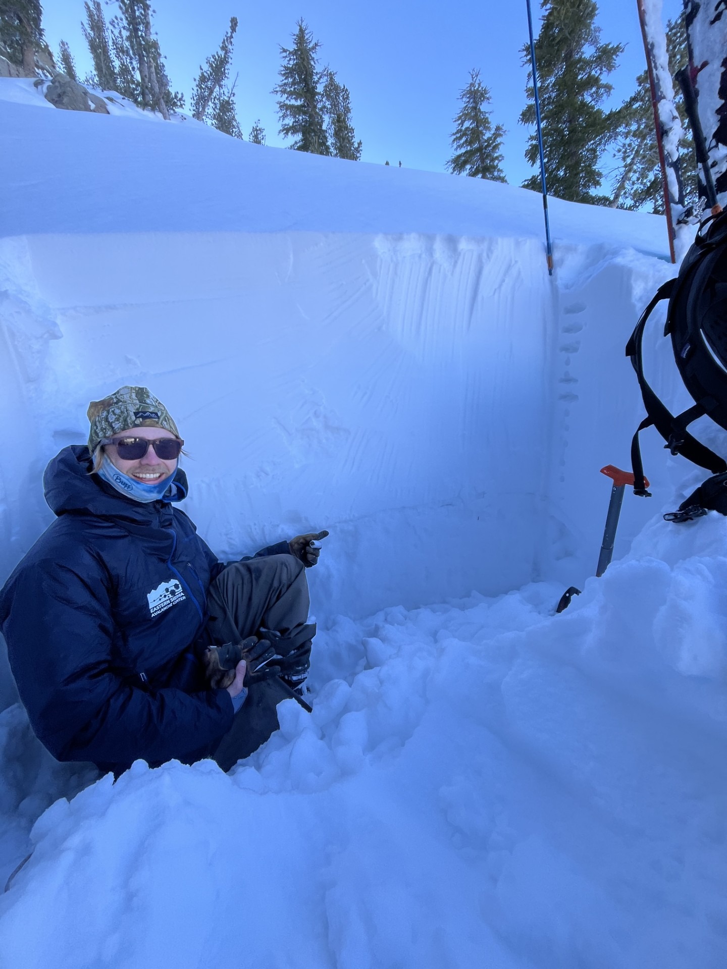
From prior observations, we knew that it could generally be found on north-facing slopes and above 9200 feet or so. We also knew there was a distinct rain crust at the old/new interface, and we used our probes to hone in it. We found an appropriate spot to dig on a north aspect at 9800 feet above Yost Meadow.
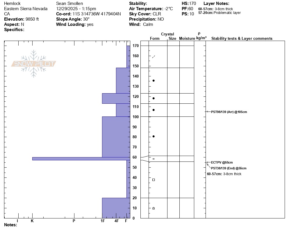
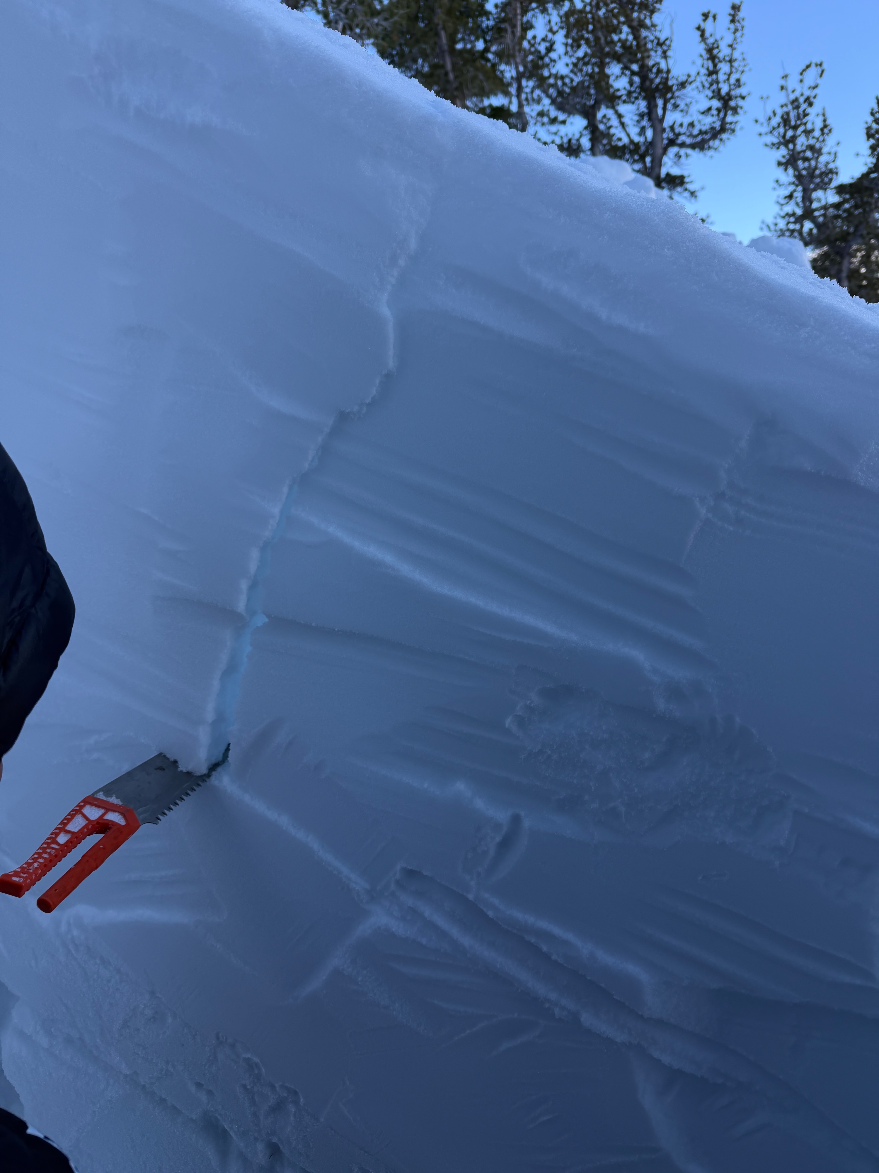
The poor snowpack structure was immediately apparent upon excavation, and we carefully isolated a column for a propagation saw test. Our results showed a propensity for propagation on large facets below the rain crust.
The depth of the weak layer, strength of the rain crust, density of the slab, and lack of many observations of instability would all suggest that this layer is hard to affect. However, the structure, test results and several recent large avalanches would suggest that if the layer was affected, a resulting avalanche could be very large (up to D3).
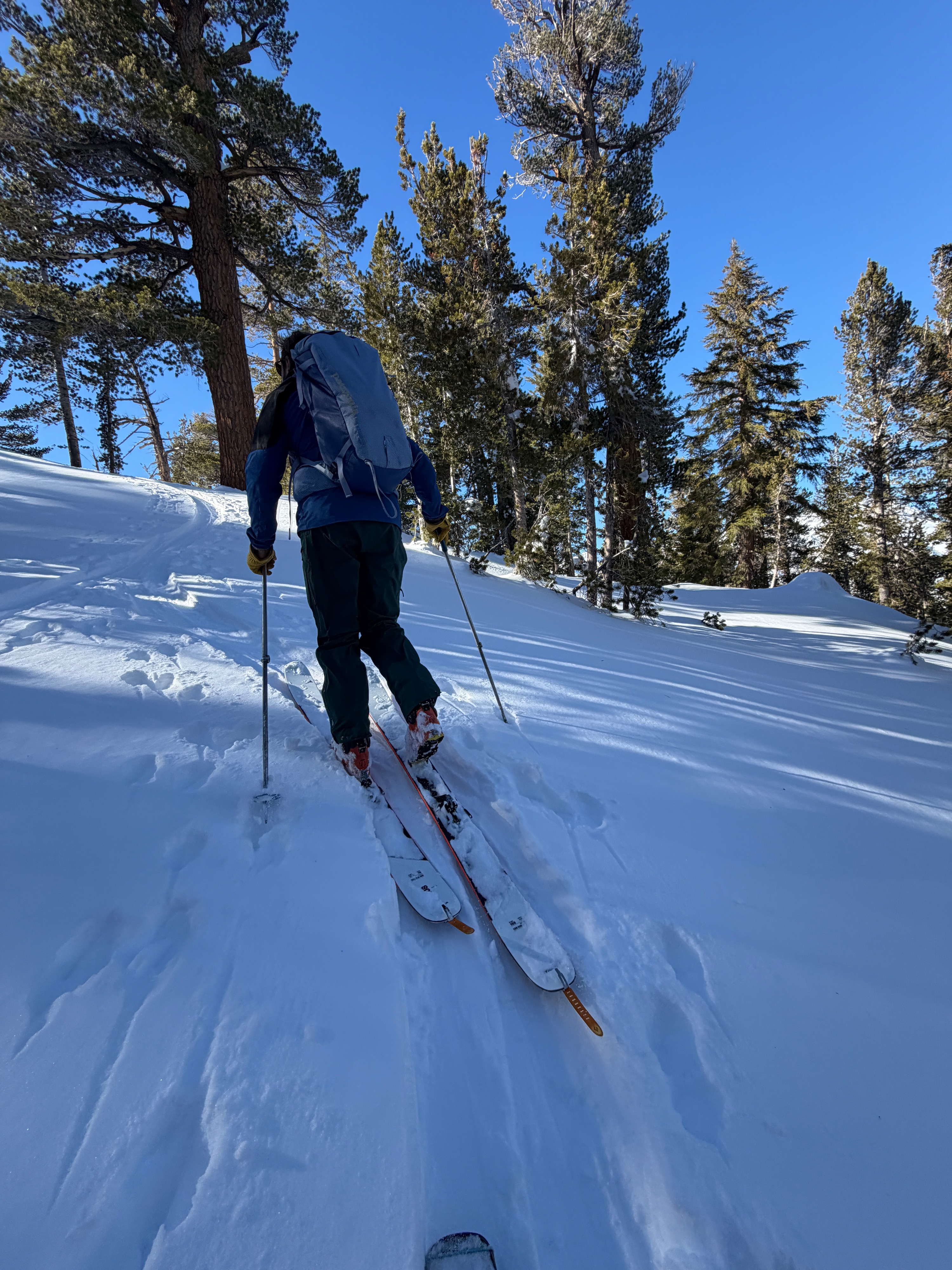
We skied a northwest aspect where we could not locate the old snow, and found stellar, progressively dense powder skiing from 9800 all the way down to 7400 feet.
We were able to get unstable tests results, but observed no other signs of instability on our tour.Weather
- Air Temp
- 29
- Cloud Cover
- clear
- Wind Loading
- none
- Recent Snowfall
- None
- Snow Avail For Transport
- moderate amounts
Cool, beautiful day. Skies were clear, temps were below freezing and winds were calm on our tour although we could see evidence of NE winds blowing snow above tree line.
Snowpack
Simply put, the snowpack here is made up of a thick, dense, strong slab (~100 cm) sitting on a stout rain crust which caps nearly 30 cm of fist-hard, large facets.
- HS between 9000 and 10000 feet was 60 to 180 cm depending more on aspect than elevation.
- Crust/Facet layer is harder to find or non-existent below 9200 feet and on East, South and West aspects in this area.
- PST END 38/139 down 108 cm in facets below the rain crust