
Quick report
- Collapsing
- isolated
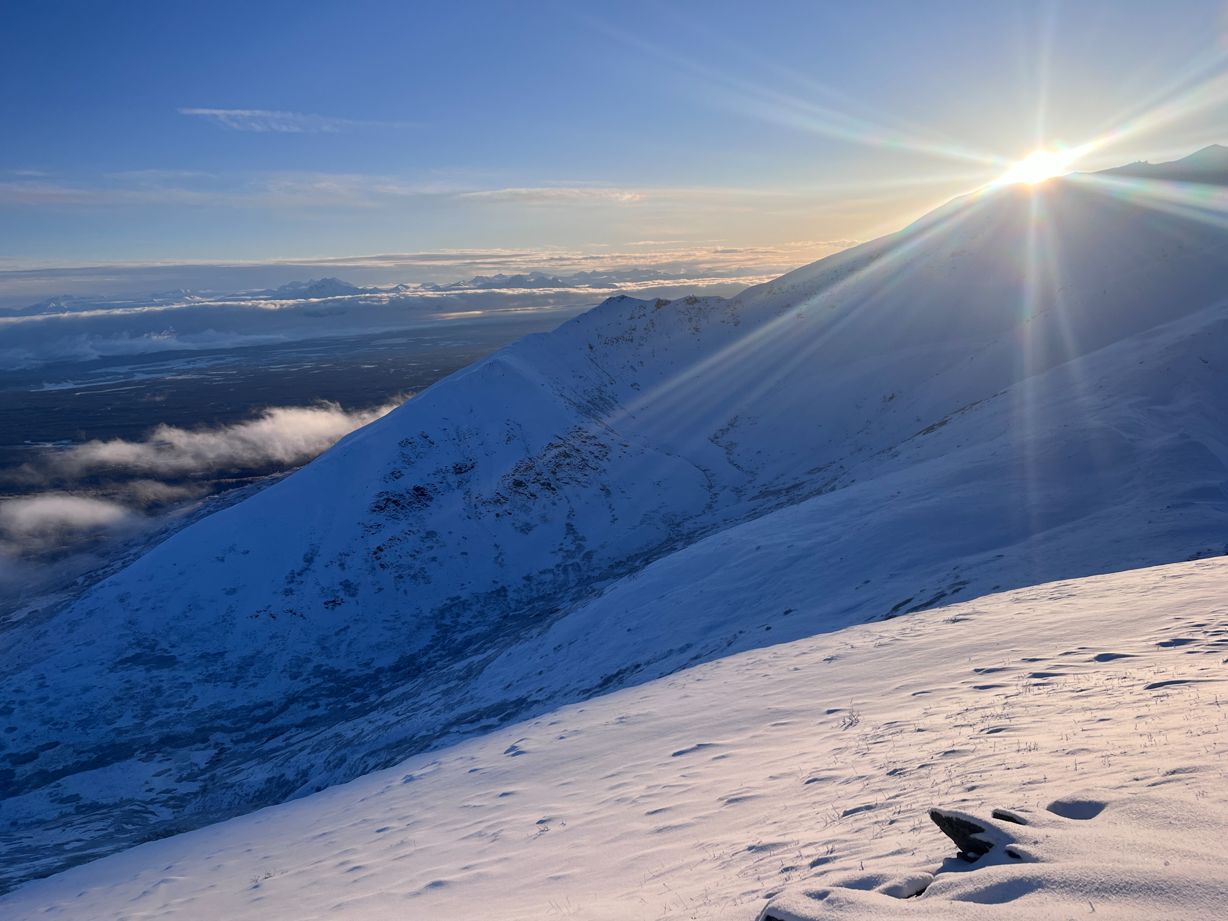
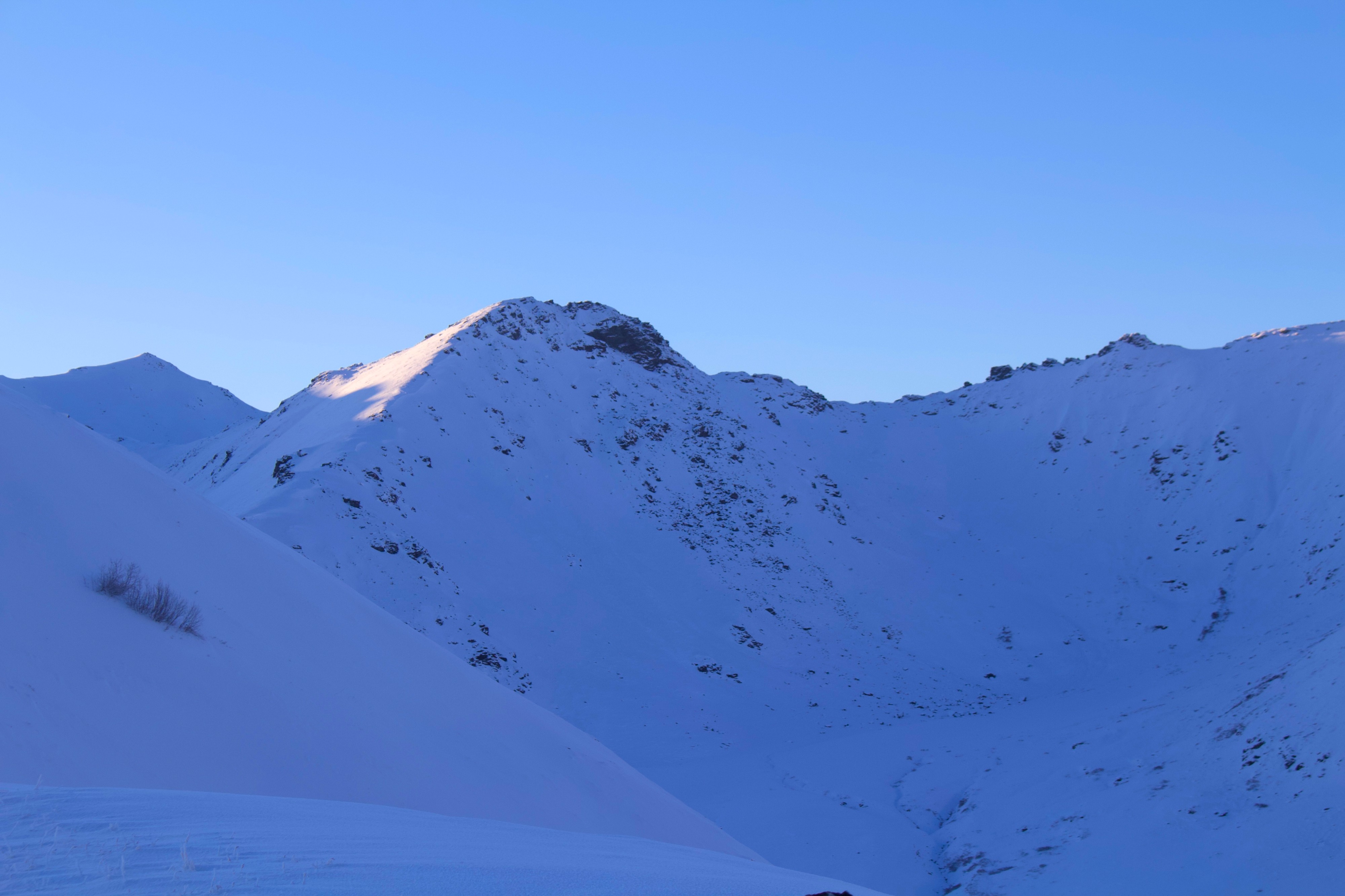
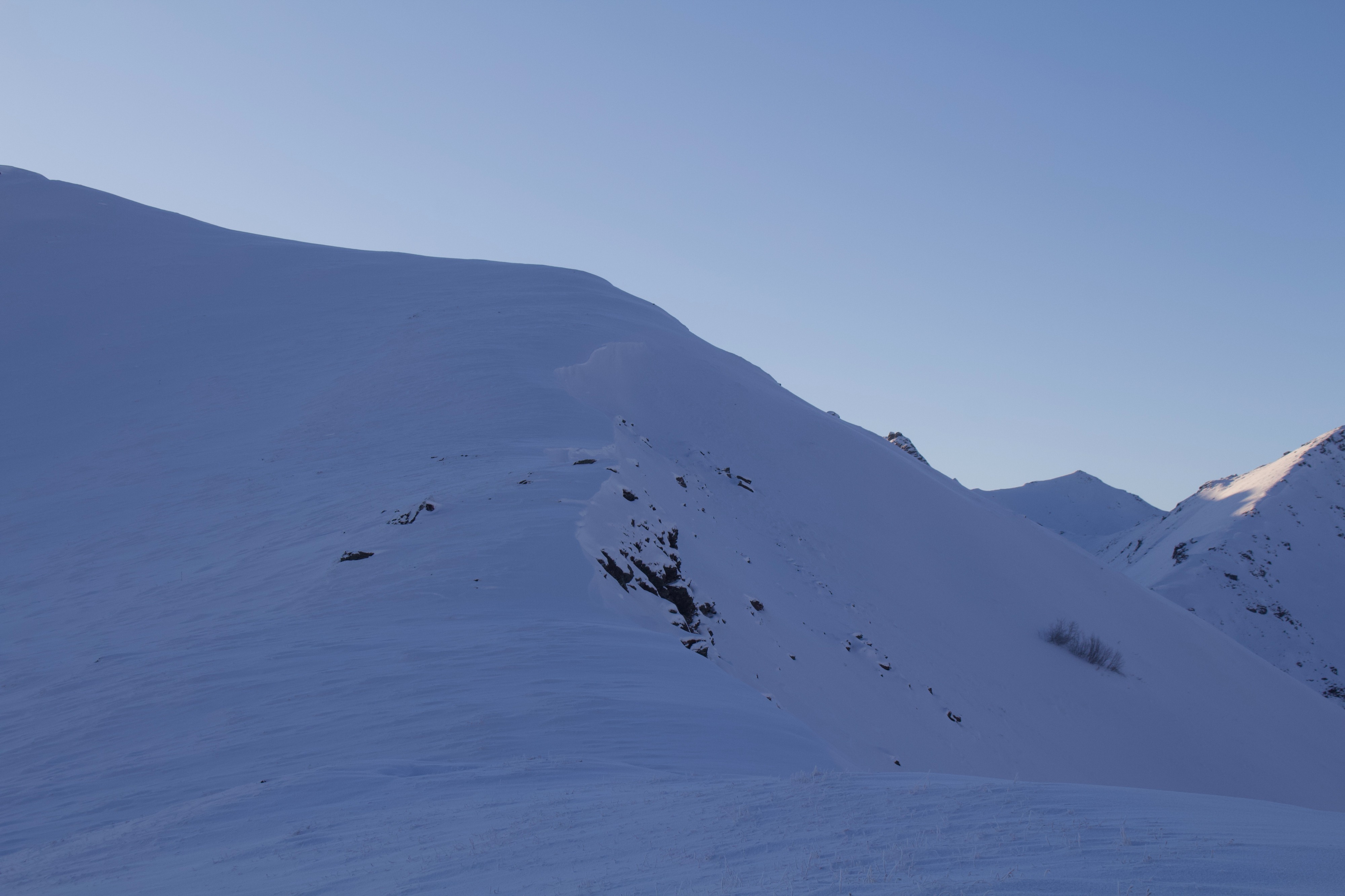
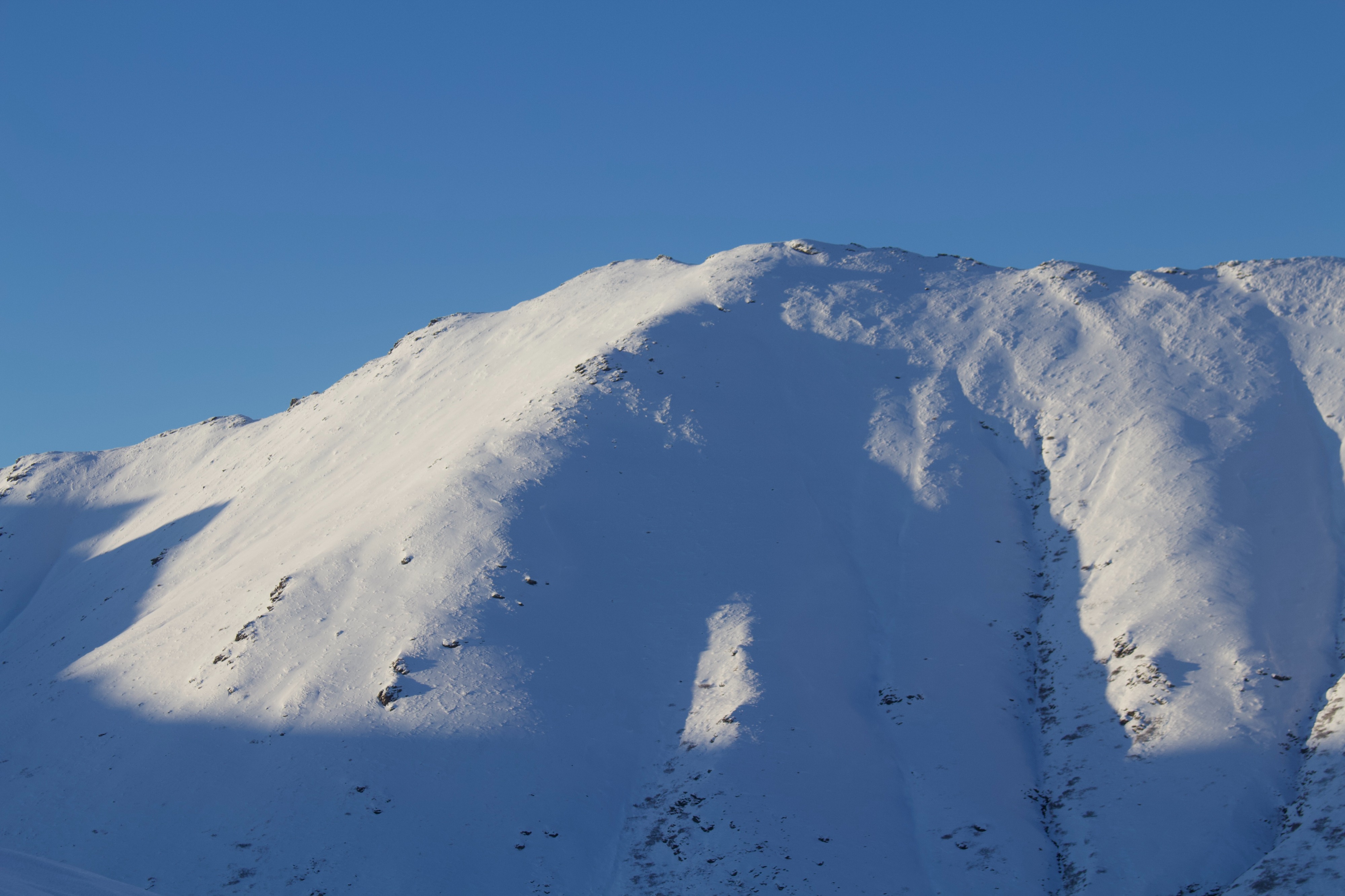
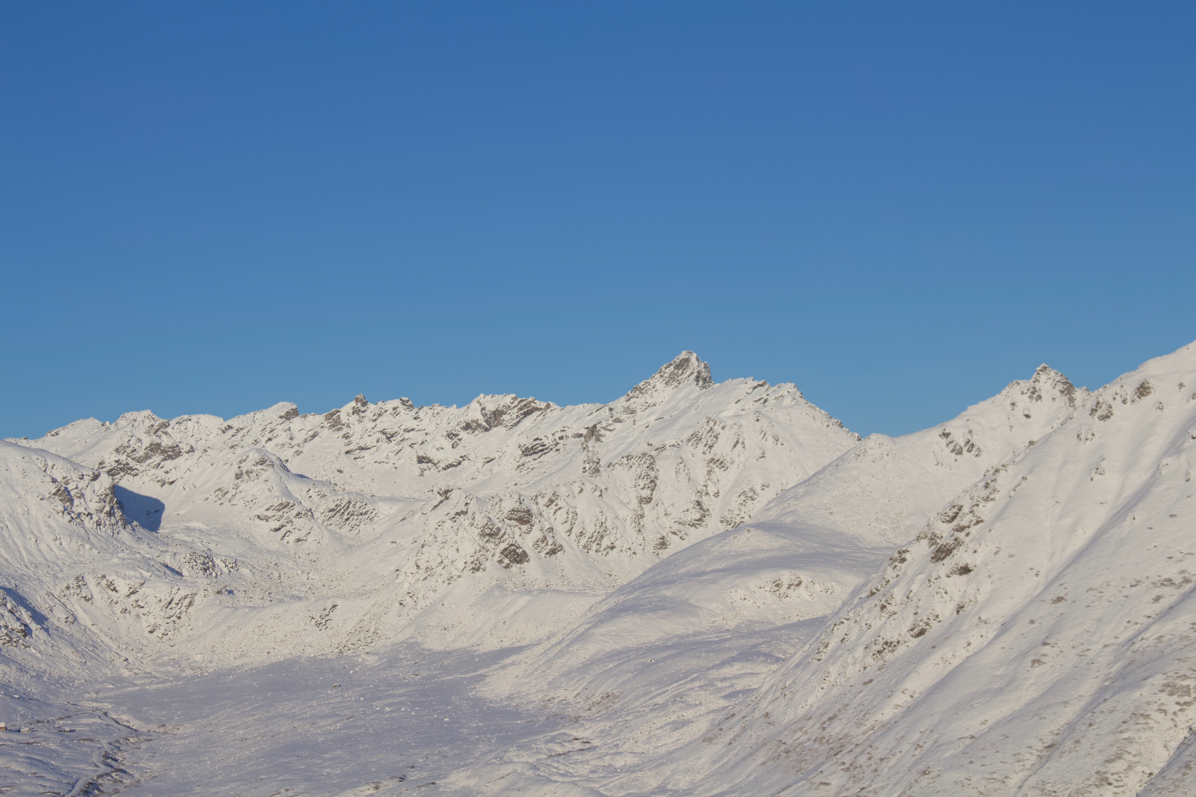
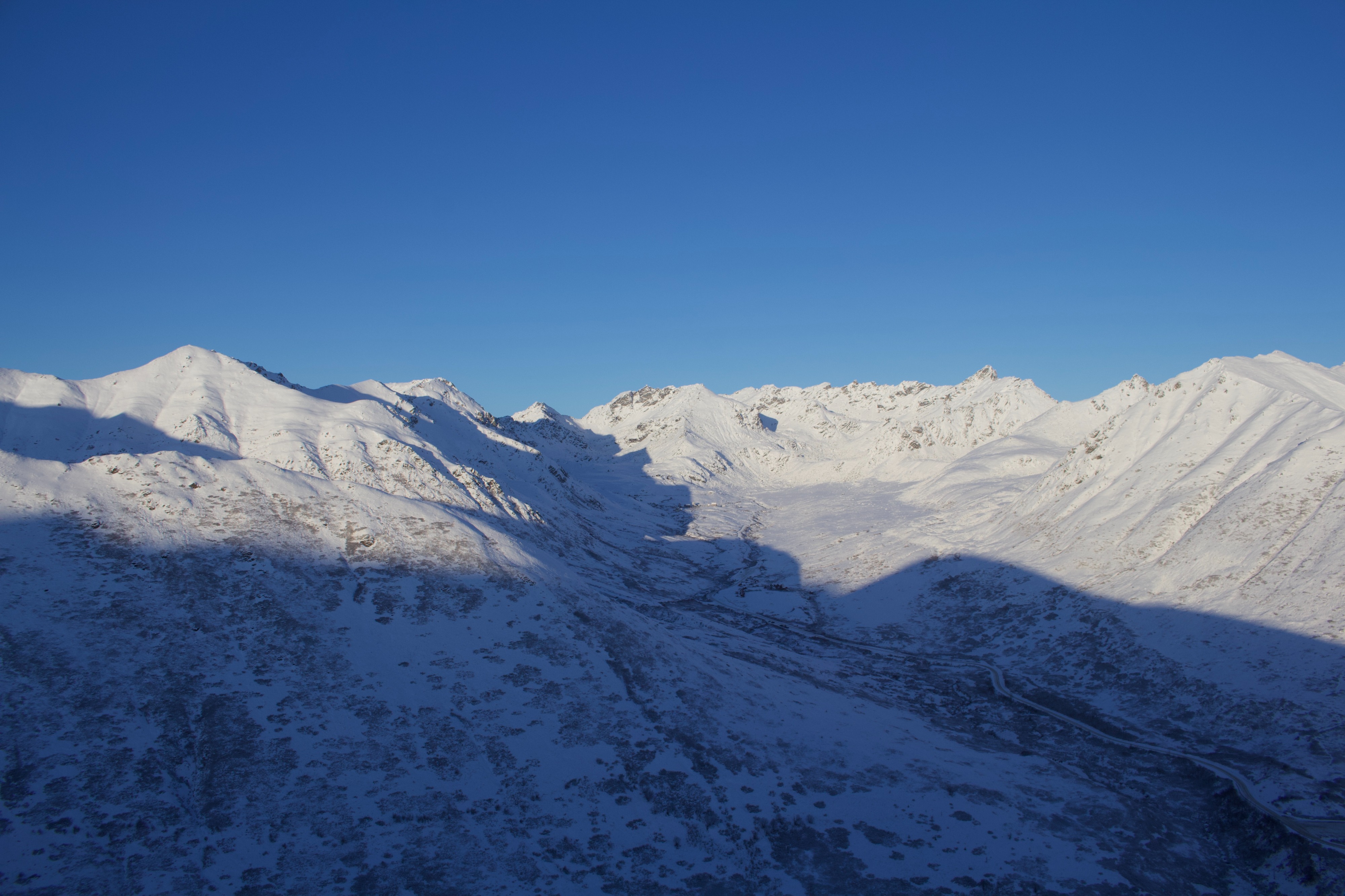
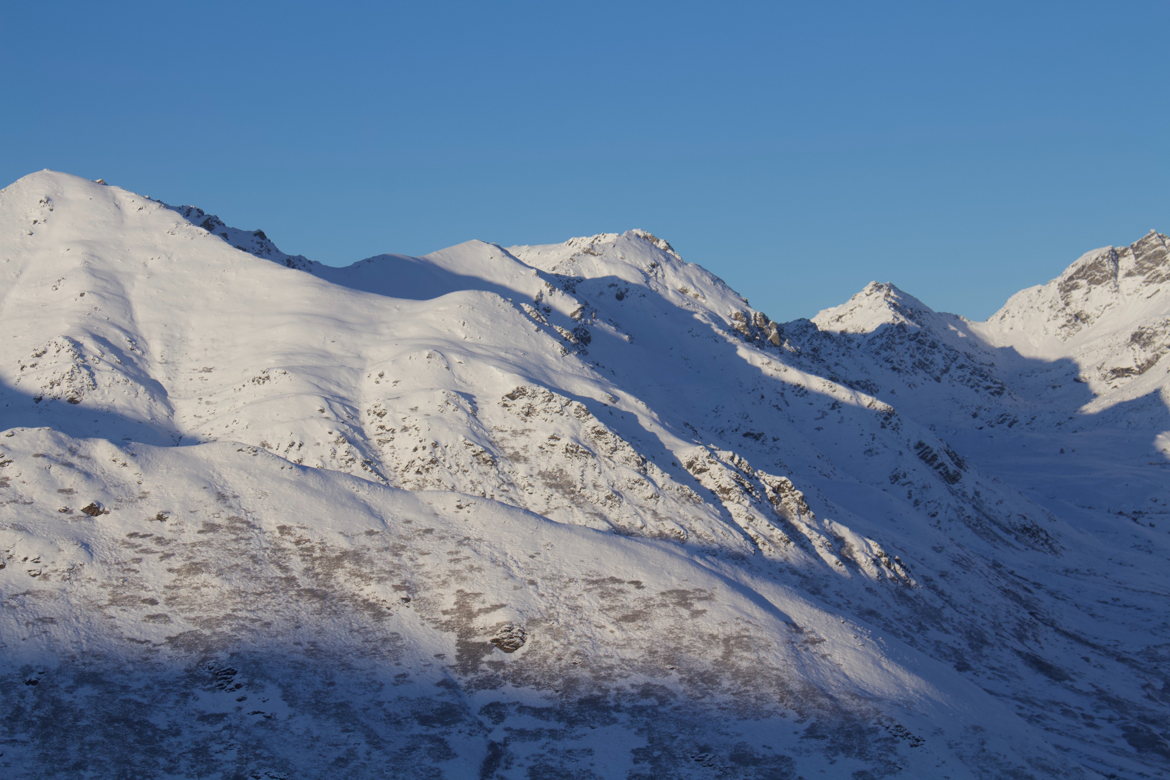
Generally, the slopes around 4068 hold between 6 inches to 3 feet of snow above 3500'. This was heavily influenced by where the wind has transported snow, and the deepest areas were primarily confined to near ridge-top terrain on the N half of the compass. Many of the slopes I saw today lacked enough connectivity to produce large avalanches that could bury a person, but could certainly produce a slide that would knock you off your feet and carry you into exposed rocks. Overall, the snowpack fell into two categories: shallow and weak (Southerlys above 3500', and all slopes below about 3000'), or relatively deeper and supportable (Northerlys above 3500'). Snow stability tests on a NW-facing slope produced unstable results, keeping me off those slopes for the reasons mentioned above.
I felt one small, muffled collapse along the ridge moving from a dusting of snow above the ground to shallow, previously wind-loaded terrain.Weather
- Air Temp
- 24
- Cloud Cover
- clear
- Wind Loading
- none
- Rain Elevation
- 3000
- Recent Snowfall
- 5
- Snow Avail For Transport
- small smounts
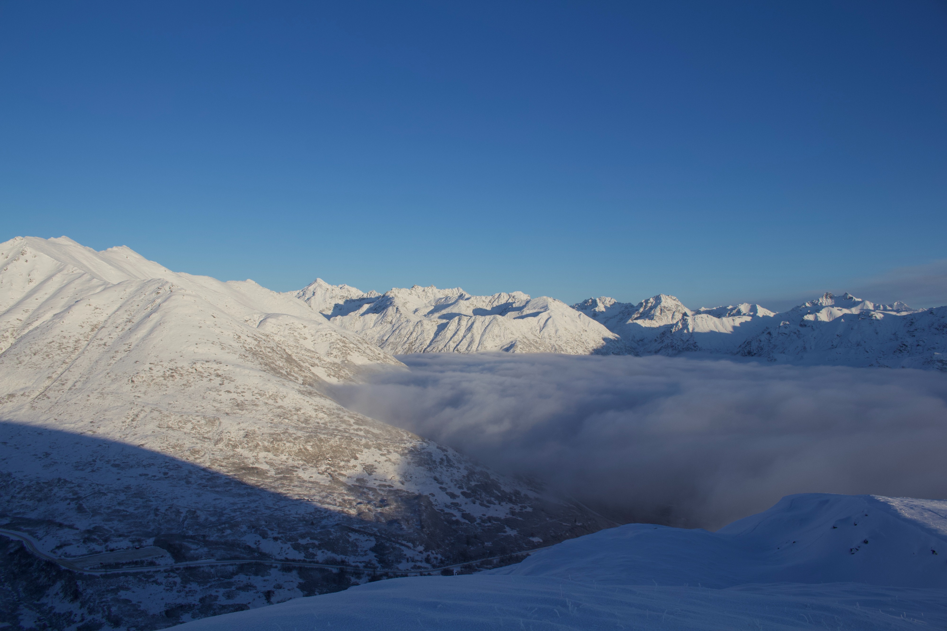
The obscured skies cleared by early afternoon, and the winds were calm. 1-2" of snow fell in the last 24 hours, adding to the ~3" that fell earlier this week.
Snowpack
Rain Line: A thin rain crust (<1cm) underneath yesterday's snowfall exists below about 3000'.
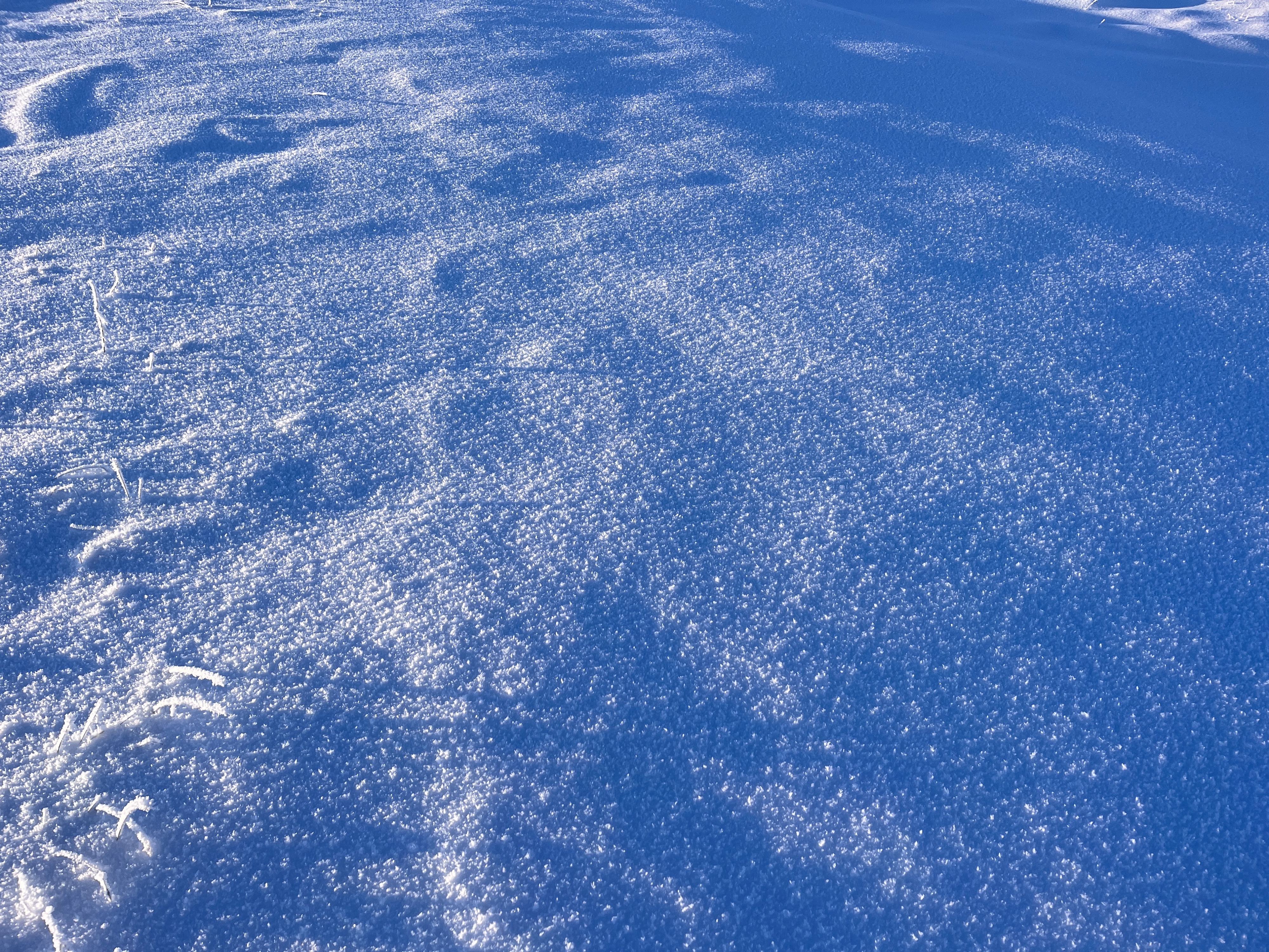
Surfaces: snow surfaces were primarily new snow. Of note was a mixed bag of rimed snowflakes and rimed surface hoar (~2mm) near and above 3400'.
What follows below pertains to slopes above 3500', on the northern half of the compass. Solar slopes and slopes below about 3000' generally held less than 35cm of snow, comprised of facets and old, decomposing thin wind slabs.
Upper Pack: The upper 20cm of the snowpack varied depending on the influence of recent winds. On wind sheltered or shallow slopes, the upper snowpack is primarily decomposing fragments, and facets below recent new snow. Where the wind has drifted and stiffened the snow, the upper snowpack is stiffer, but similarly beginning to facet.
Mid and Lower Pack: A stiff slab of snow still exists within the middle of our snowpack, which likely formed during a period of strong wind at the end of October. Digging today on a NW aspect at 4000', I found 30cms of 1F- snow above 10cms of large grain facets. Stability tests produced unstable results here, ECTP18 @ 17, HS 67. In other areas, in hand pits and probing with a pole, I could feel this "stiff over soft" setup—the stiffness and thickness vary depending on location.