
Quick report
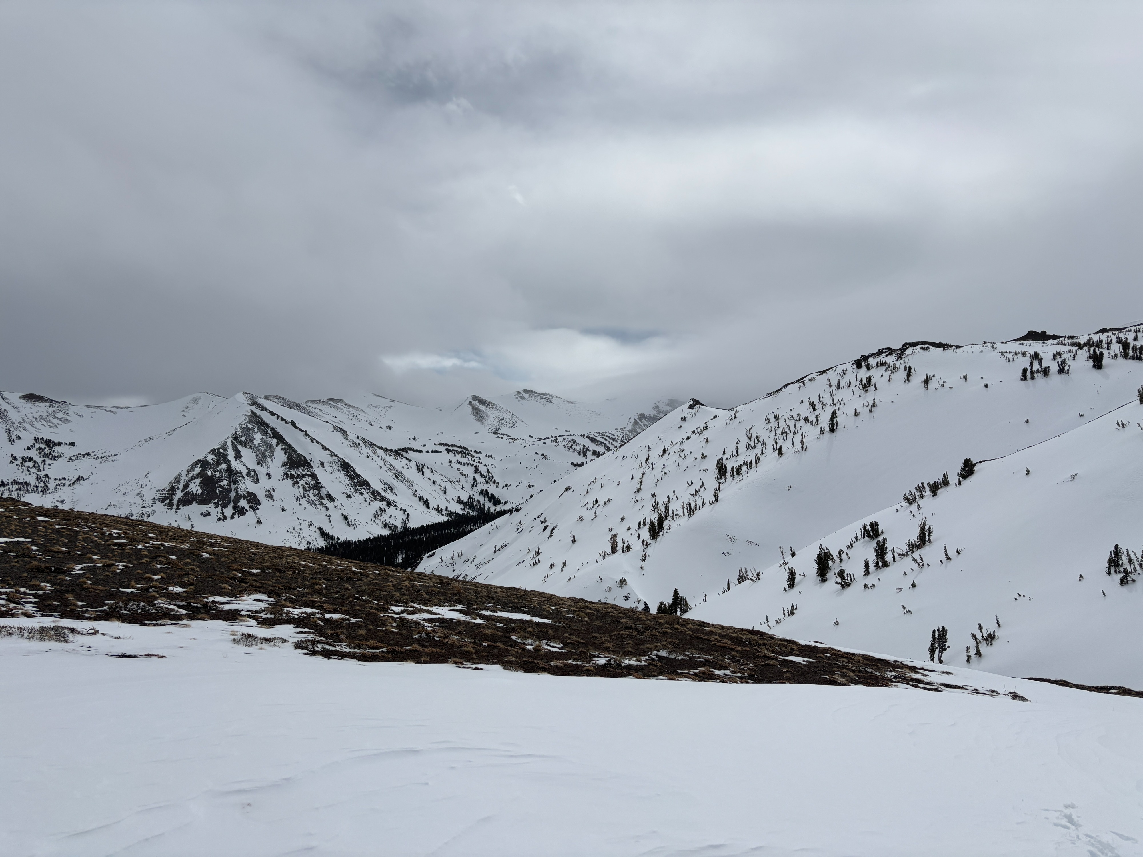
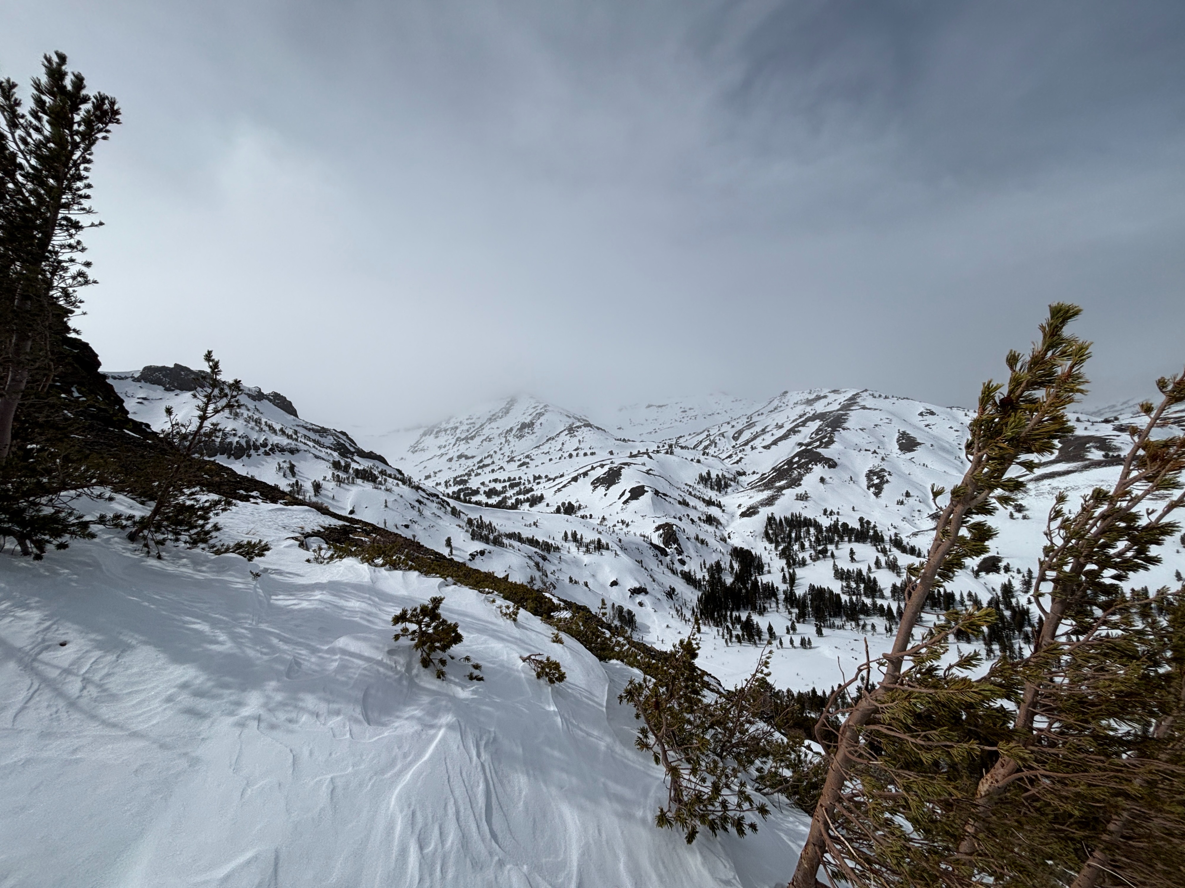
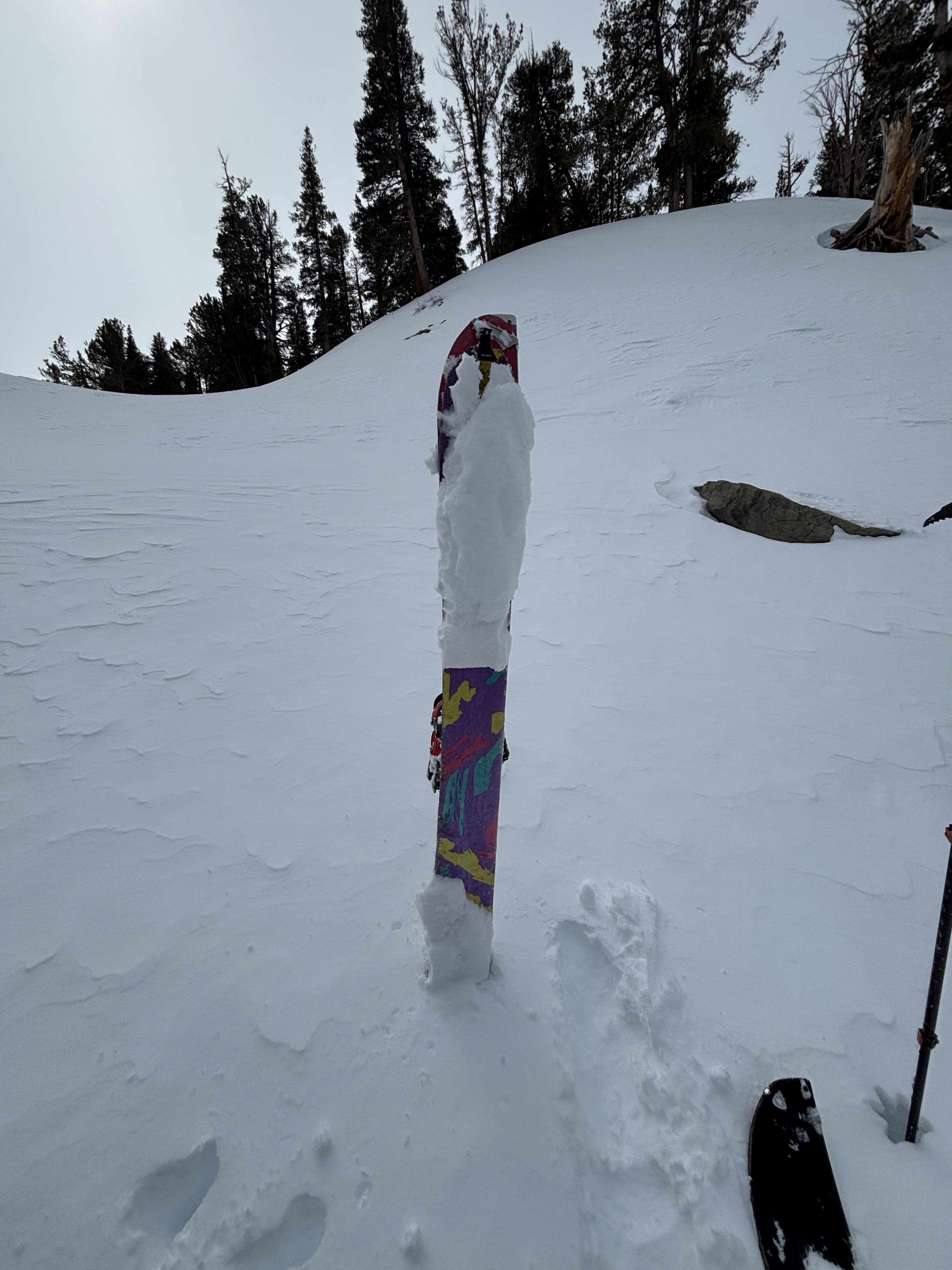
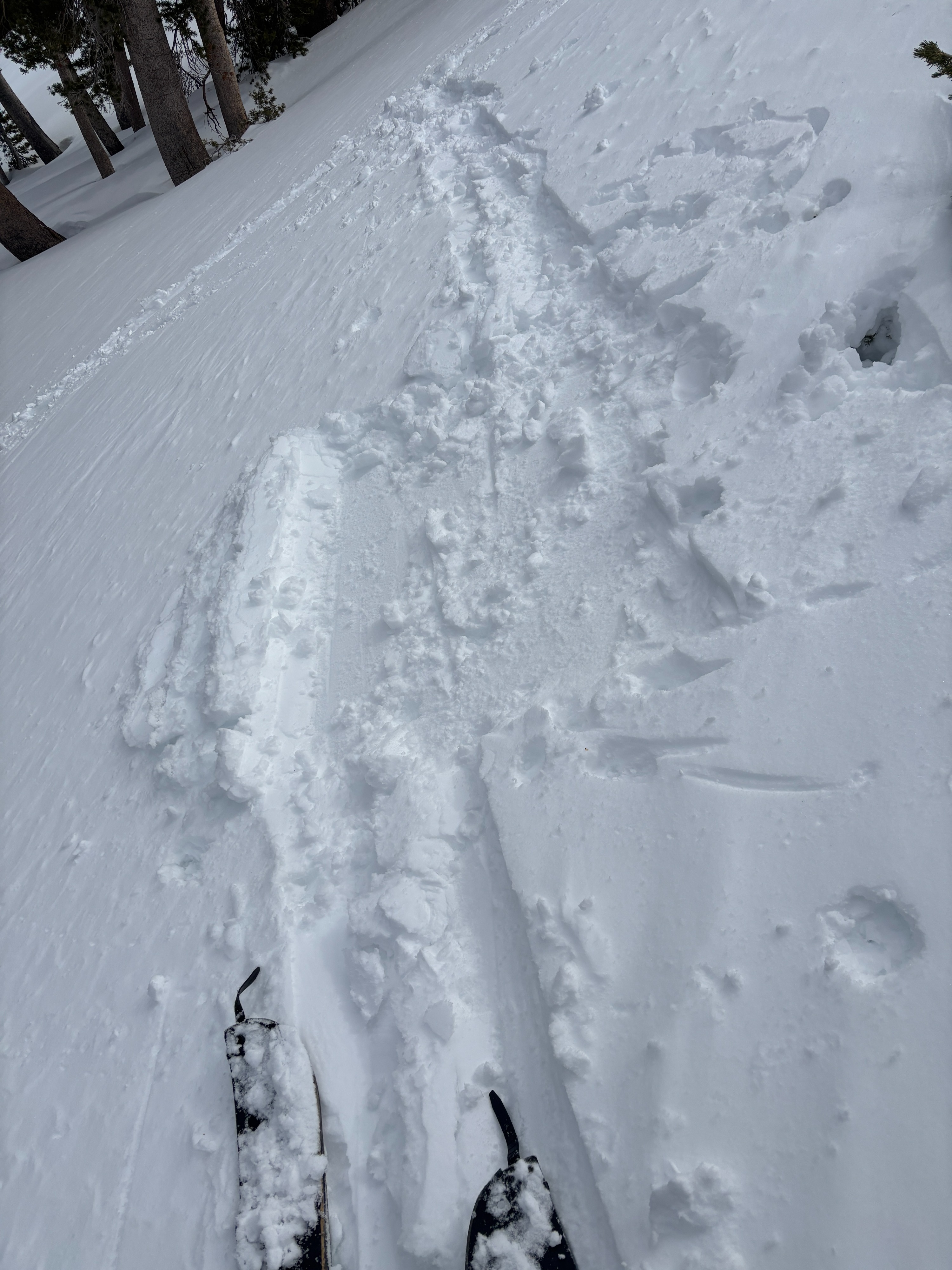
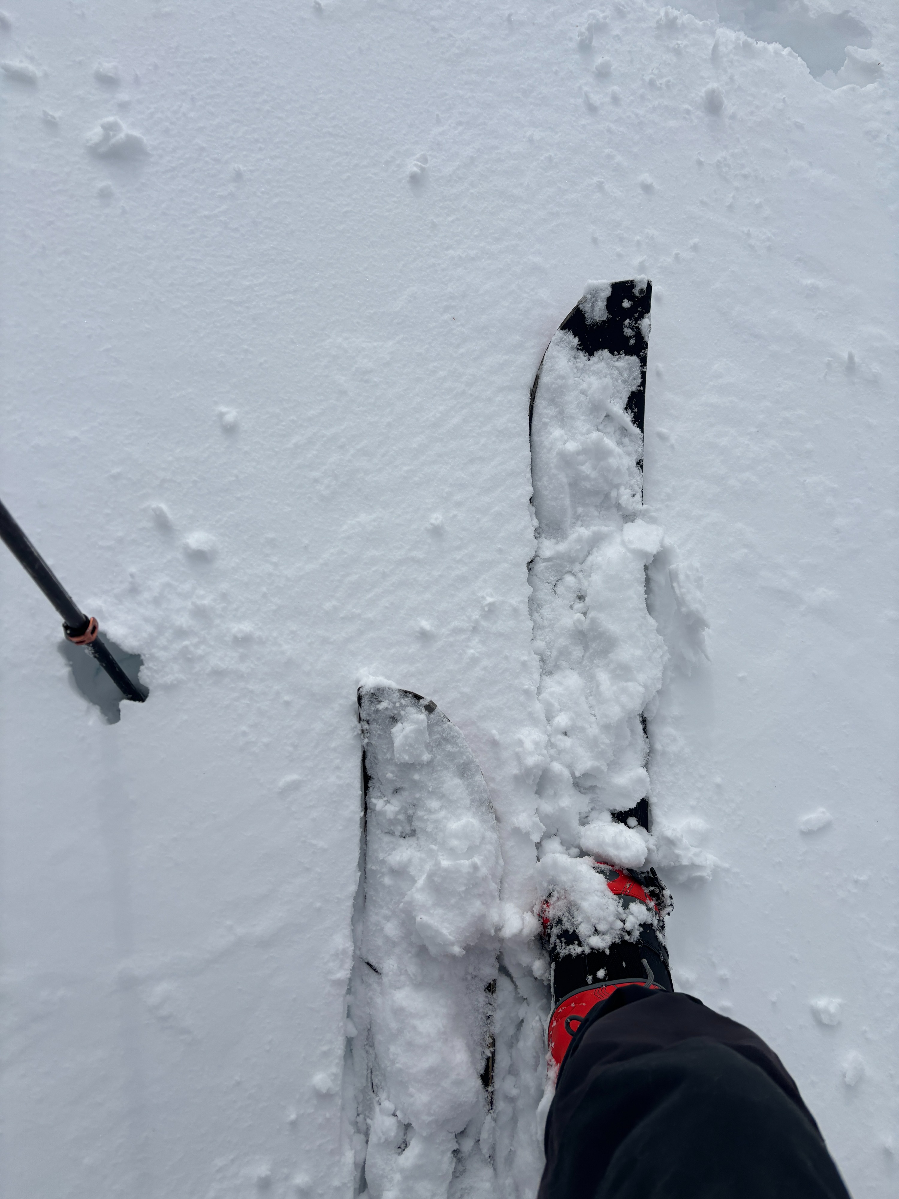
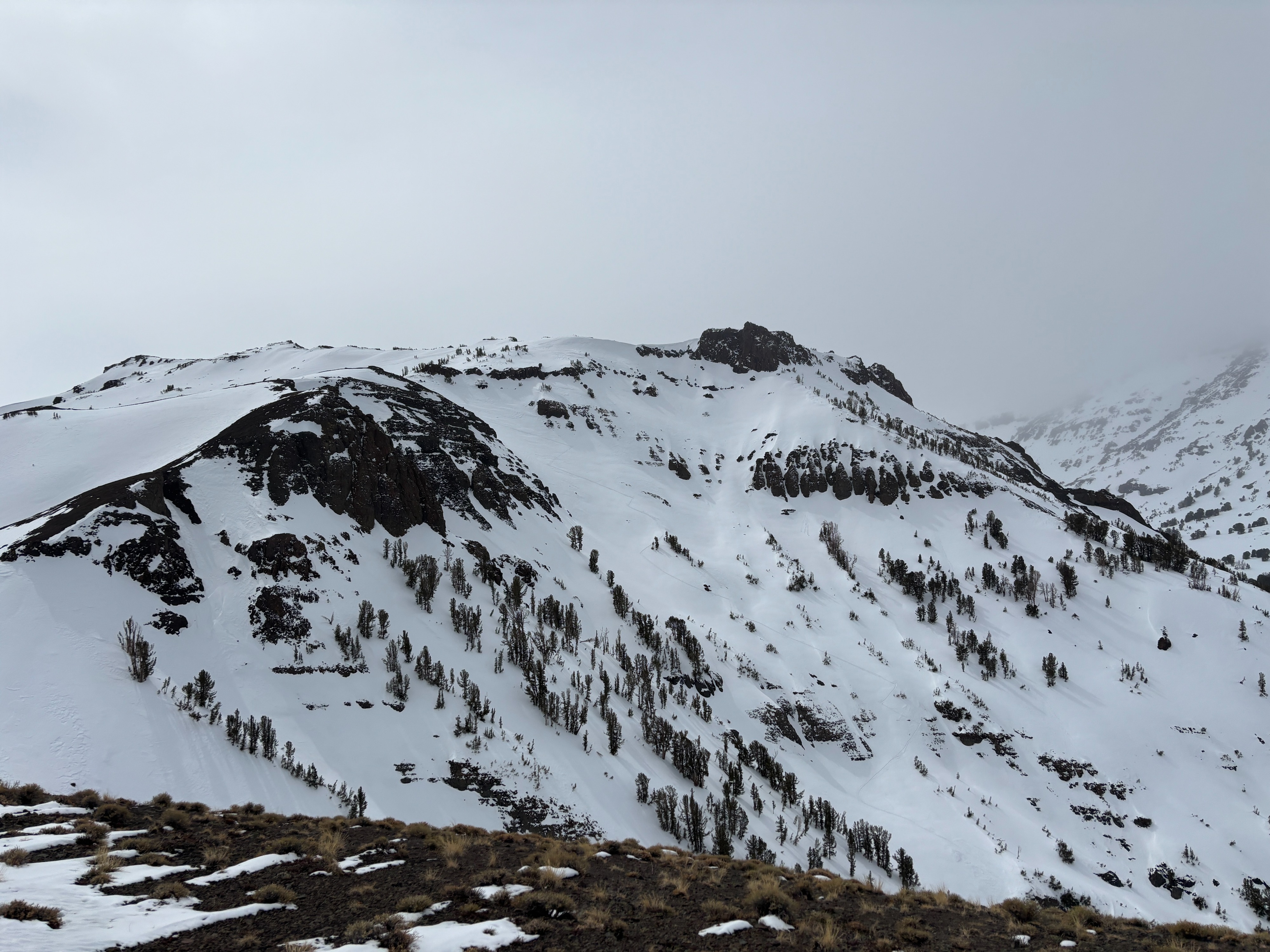
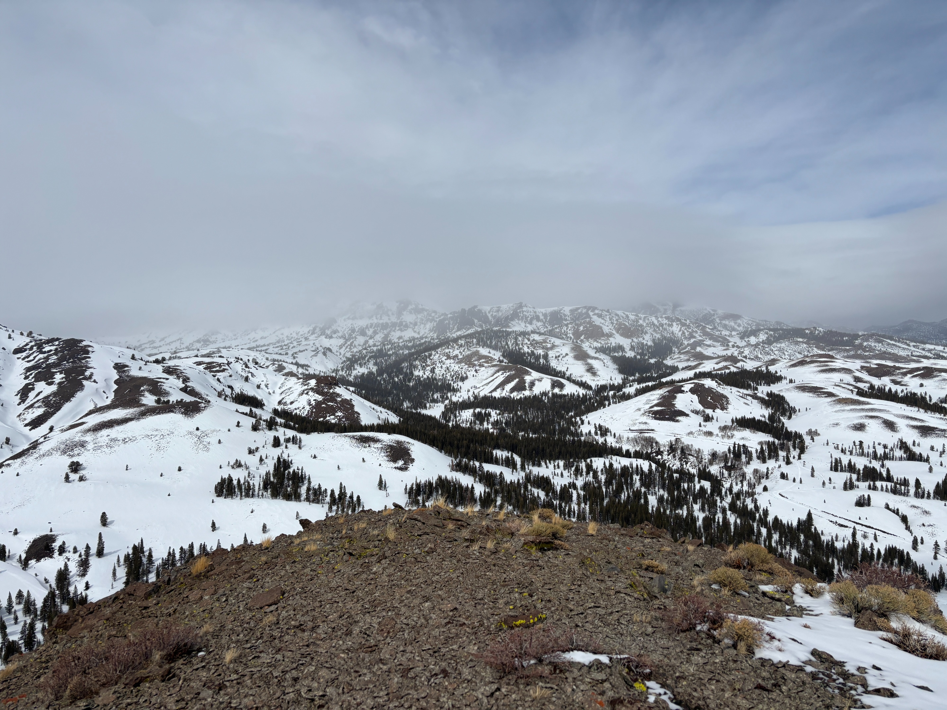
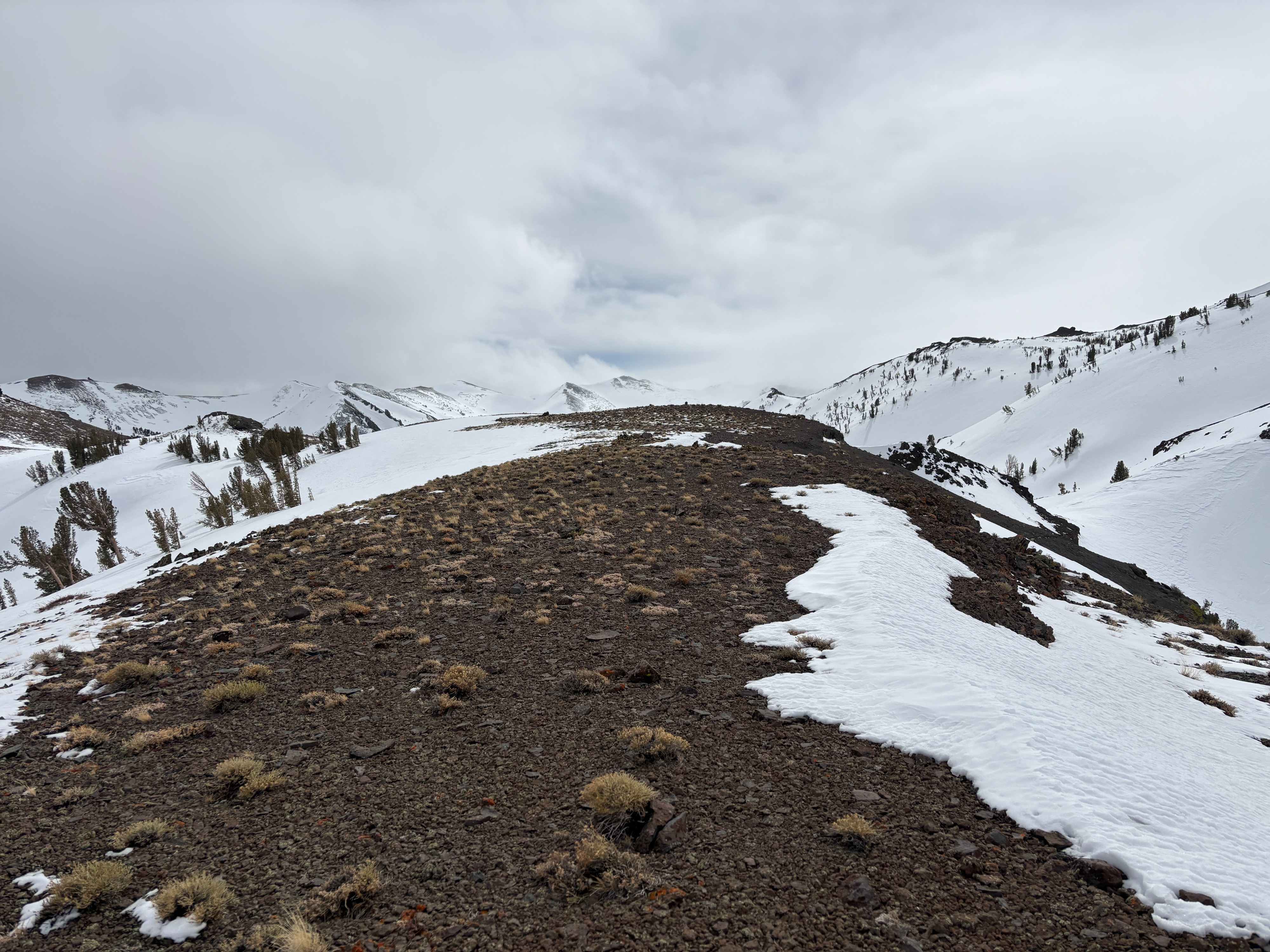
I started my tour around 11 a.m. from the base of Sardine can wall. Stepping in the snow, I could feel the heavy, dense snow underfoot. A light mist of rain and temps in the high 30s kept the snow surface feeling like mashed potatoes until I reached higher elevations. Around 9,400 feet, a firm crust 2–4 inches below the snow surface appeared and was slick enough for me to lose traction in the skin track. It was noticeably colder as I gained elevation.
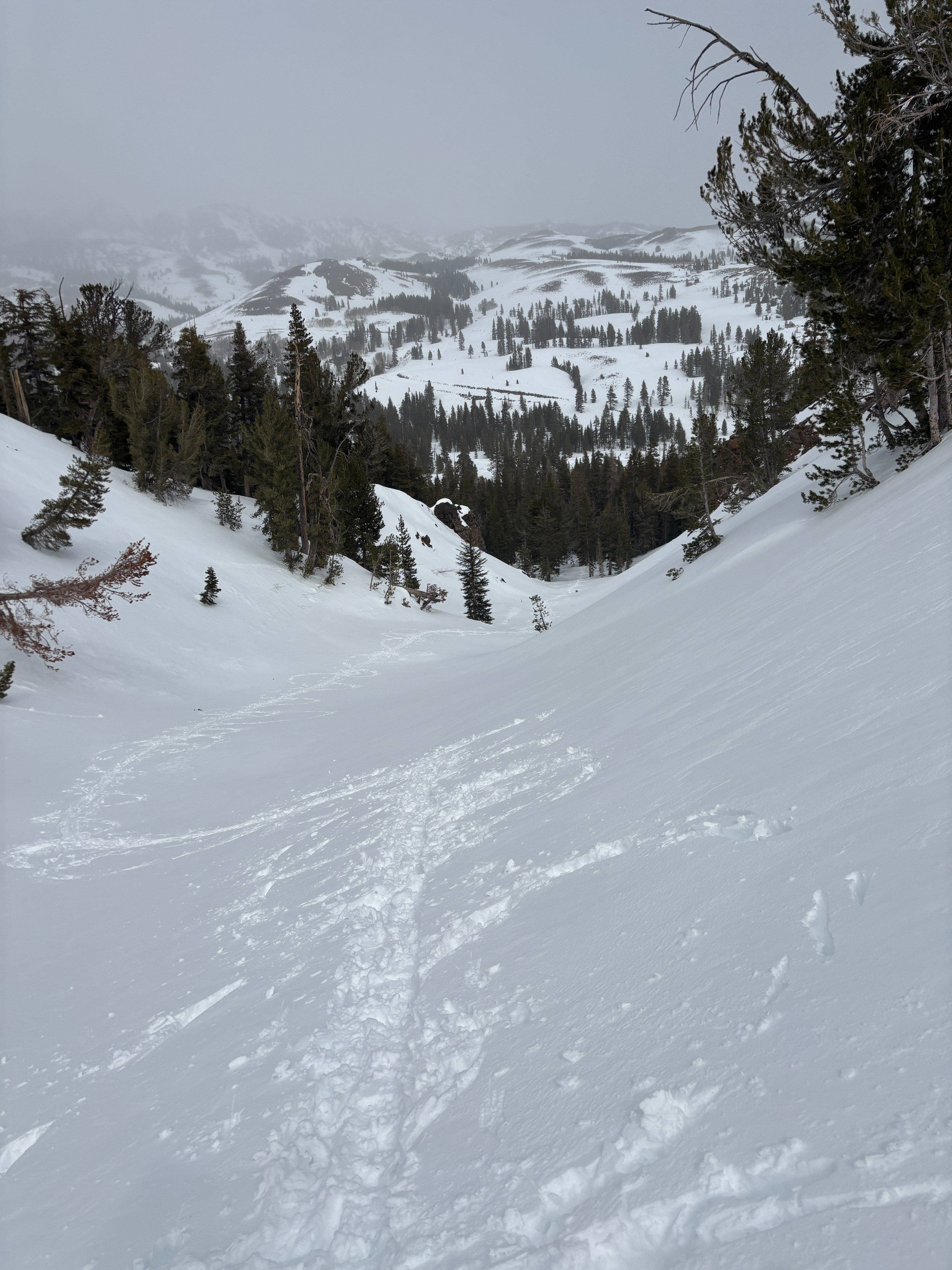
I chose this tour to see if warm temperatures at lower elevations were creating loose, wet avalanche problems; I did not see any signs of instability in the snow.
Weather
- Air Temp
- 38
- Cloud Cover
- broken
- Wind Loading
- none
- Recent Snowfall
- 0
- Snow Avail For Transport
- none
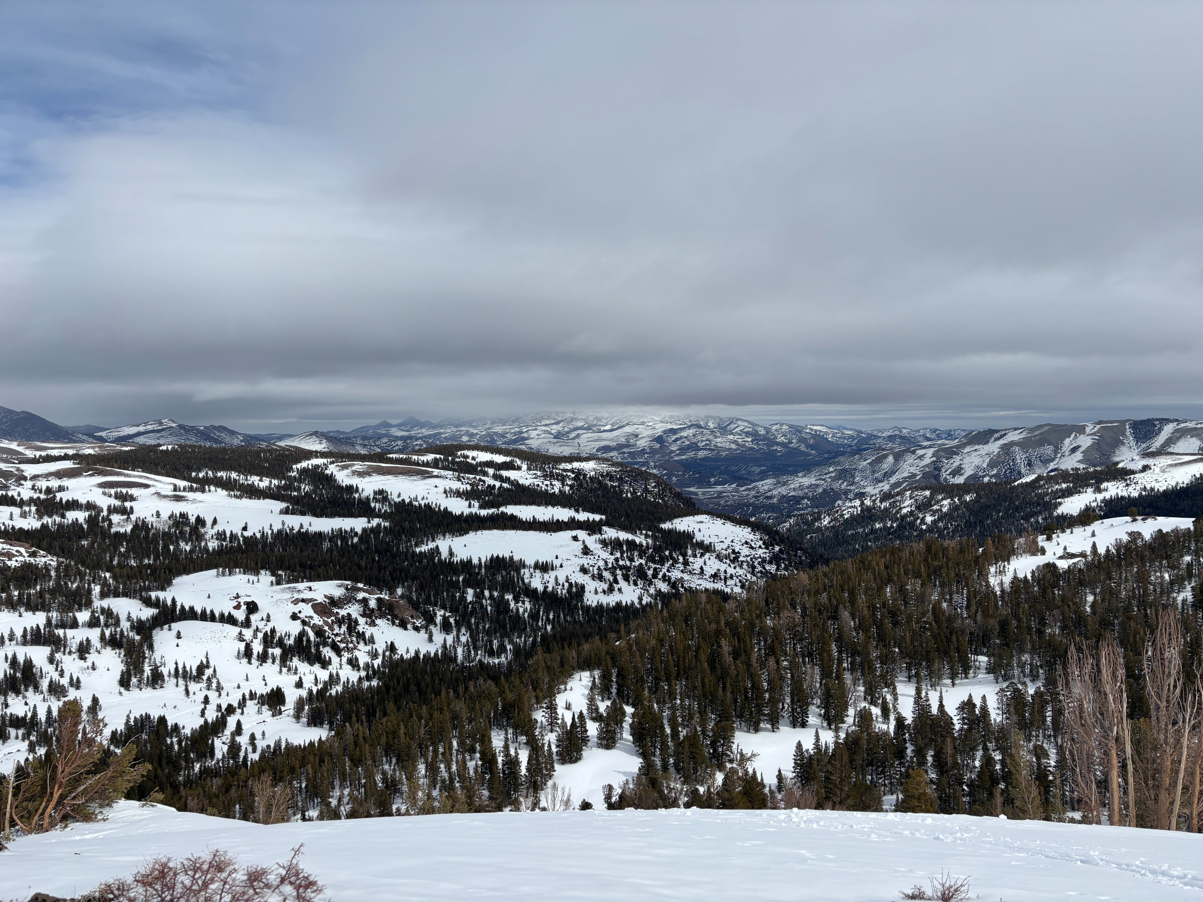
Today was humid and muggy during the ski tour. I was touring between 8,000 and 9,000ft in elevation. A light mist of rain would occasionally pass through. The cloud cover was mostly overcast, with the occasional ray of sunshine passing through. I checked the Snotel sites on my tour at noon. A stark difference at the two Snotel sites 1,000 ft in elevation change Leavitt Lake was 28F (9,600ft), and Sonora Pass Snotel record 36F( 8,770ft)