
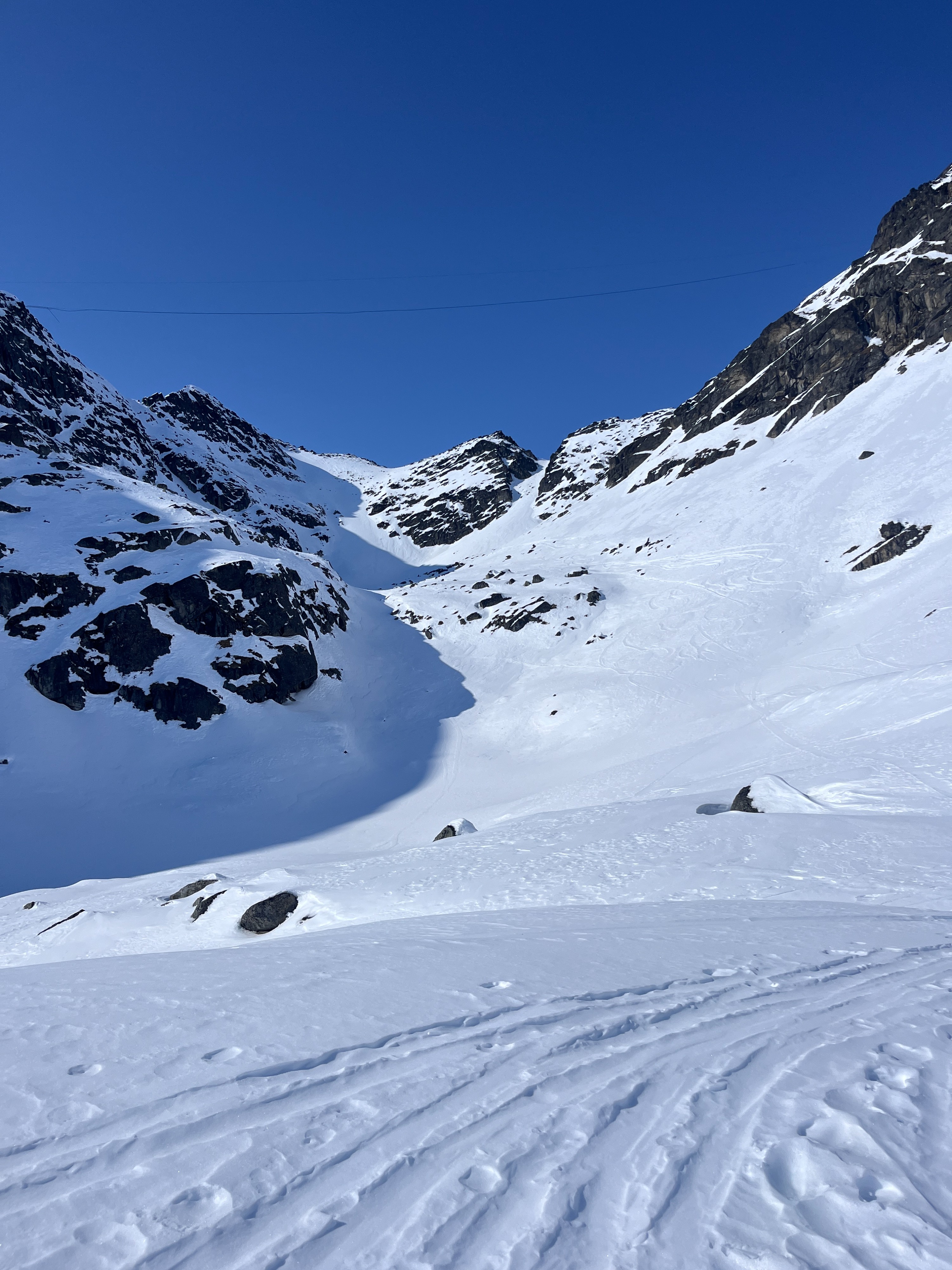
Quick report
By 5:30 PM, any sunny slopes I traveled on had become wet. I did not experience any signs of instability like roller balls, or small wet loose sluffing—although in really steep terrain, that may not have been the case. I barely poked onto shady slopes today, but where I did travel, the snow remained dry and a mixture of wind board and breakable wind crusts. Overall conditions felt generally stable, and wet snow problems were easily managed by staying out of very steep terrain late in the day. I did not find any dry snow problems today, but I remained vigilant for any old wind slabs that could harbor weak snow below.
Weather
- Cloud Cover
- clear
- Wind Loading
- none
- Snow Avail For Transport
- none
Clear skies, calm wind, and mild to warm temperatures.
Snowpack
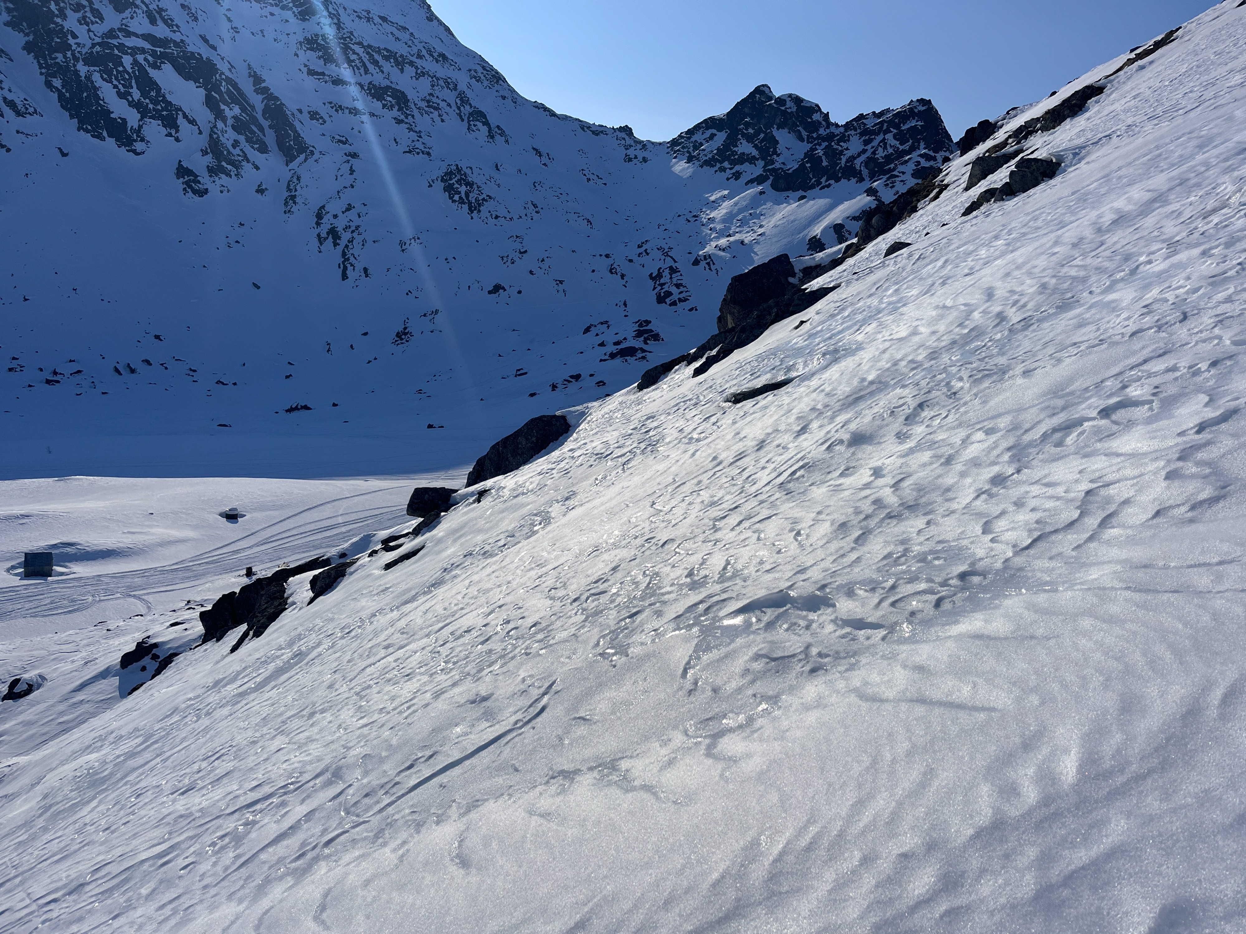
On solar slopes, the upper 10cm of the snowpack has become moist to wet from extended periods of sunny skies. Water is forming percolation columns in the upper snowpack, pooling at the base of the moist/wet snow and refreezing to thin ice lenses. In hand pits, the thickest ice lenses were associated with places less affected by strong winds near the end of March. Where the wind formed stiff slabs of snow had only begun to wet at the surface. I only found these stiff slabs right at the top of the ridge. We near-surface facets seem to be an apt way to describe the surface snow.
In very steep terrain, I was able to entrain small amounts of wet snow above slippery wind crusts below. These did not move far and were isolated to the length of my skis.
There is still dry snow out there, and in hand pits, I was able to find weak snow sandwiched between wind slabs; they were unreactive in hand pits. Near the ridge, I did kick off a small plate of wind drifted snow, failing on facets below.