
Quick report
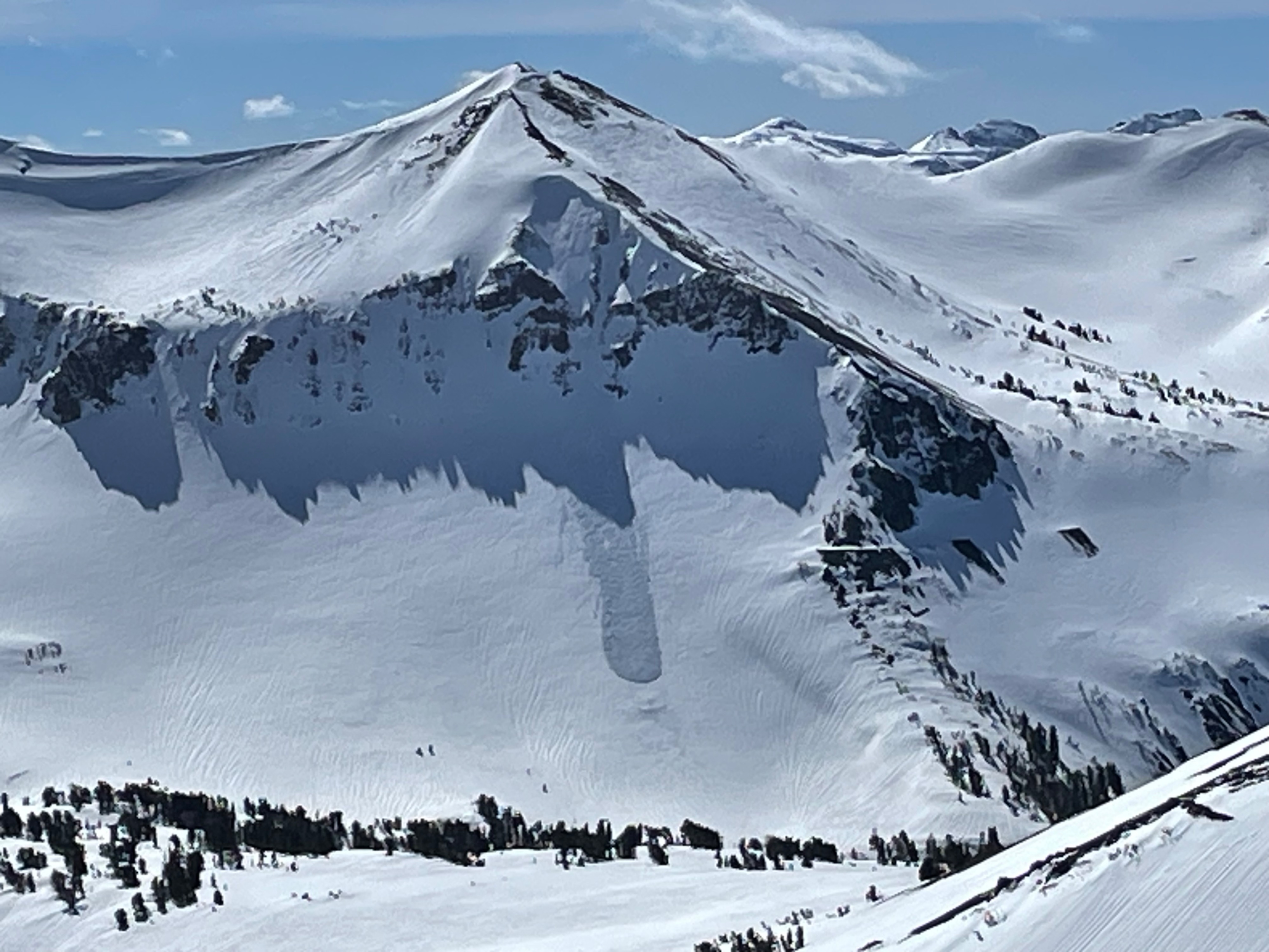
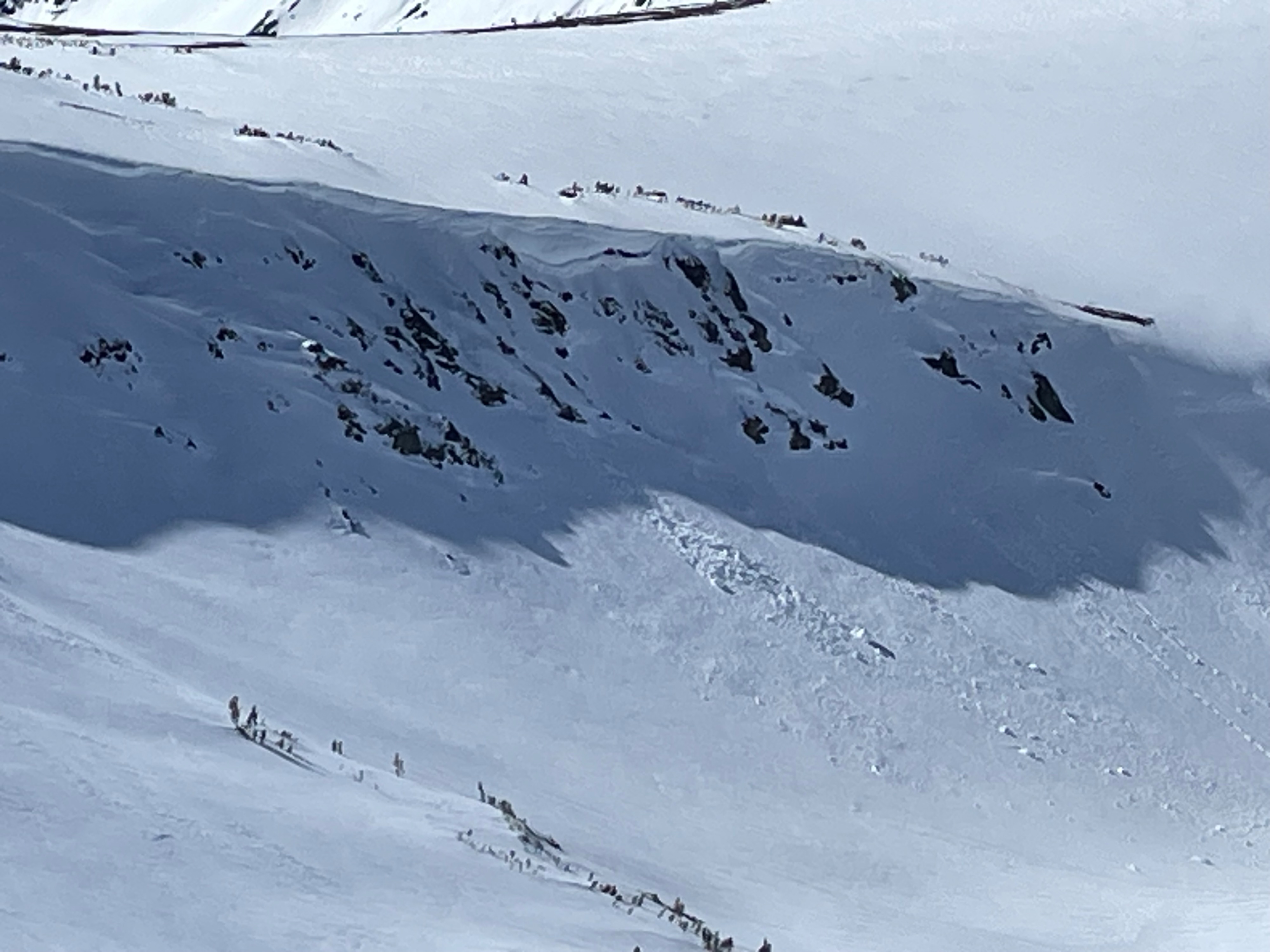
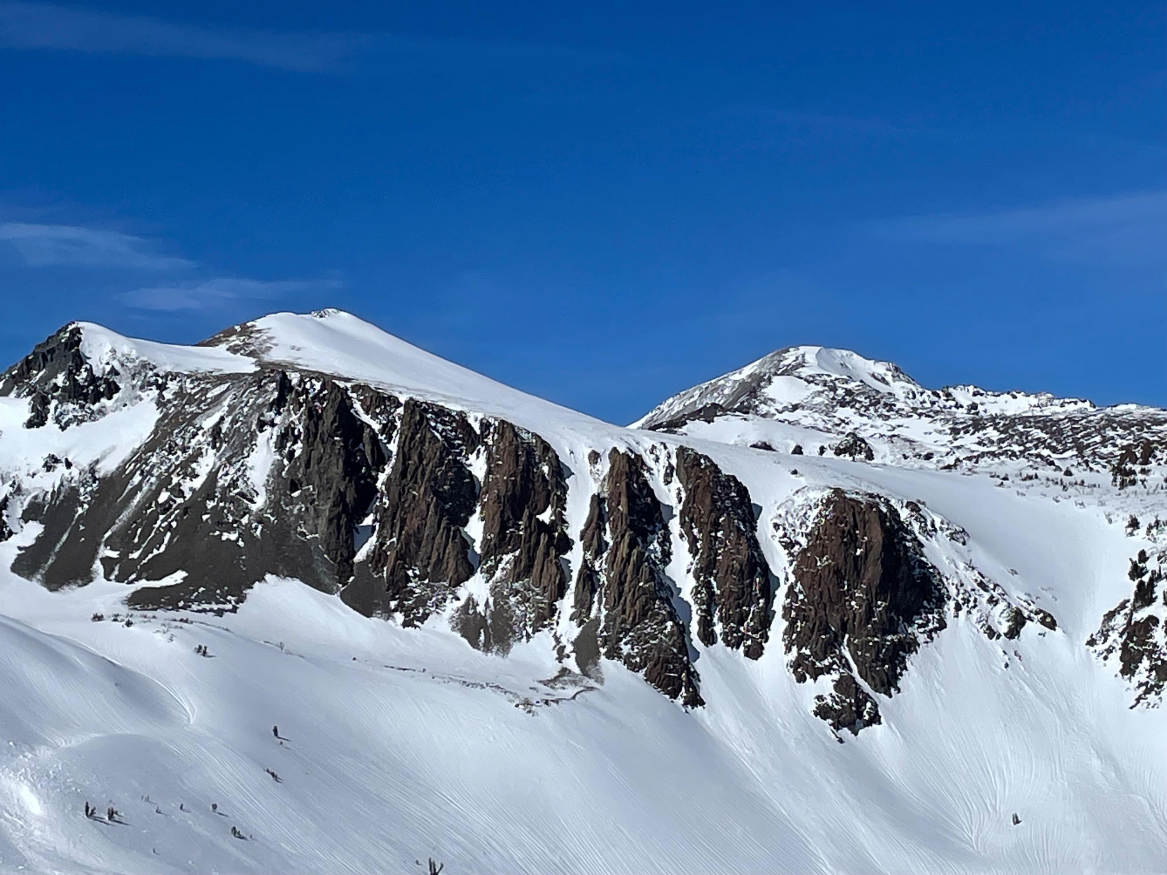
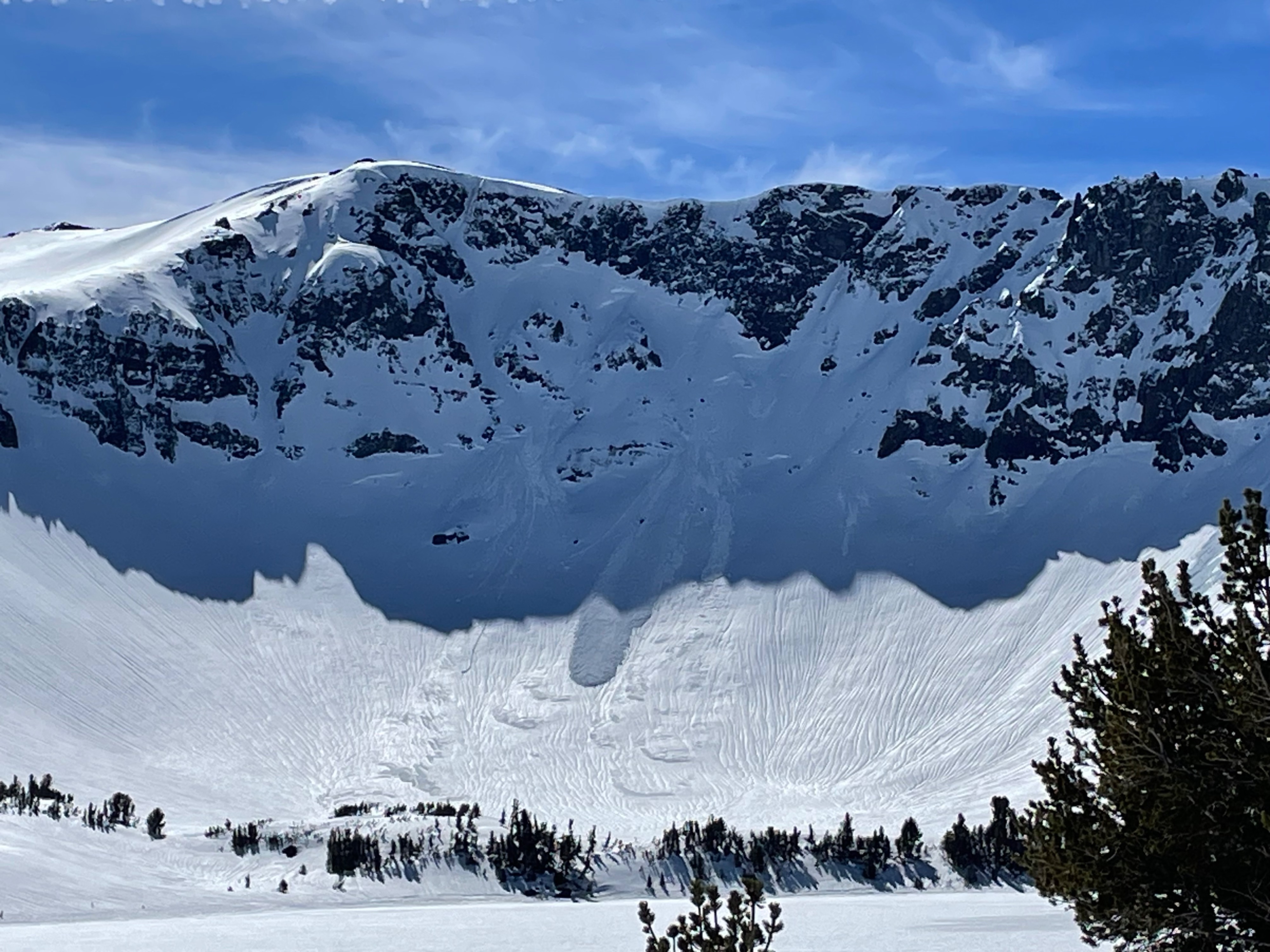
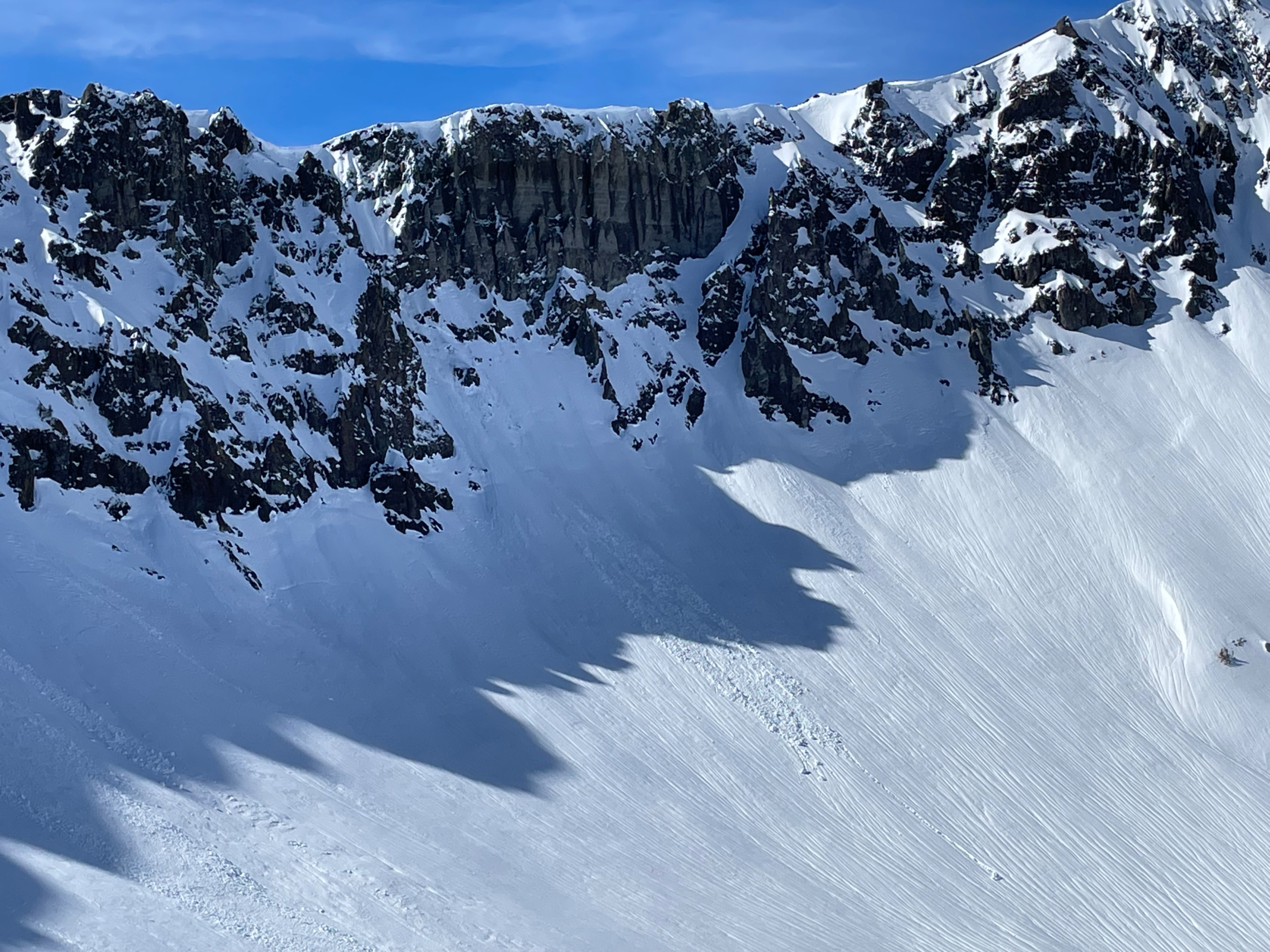
We rode up in the BWRA to see the effects of recent rain on the snowpack. Multiple recent natural wet-loose avalanches were observed in D1-2 range. We did not observe any wet-slab activity in this area.
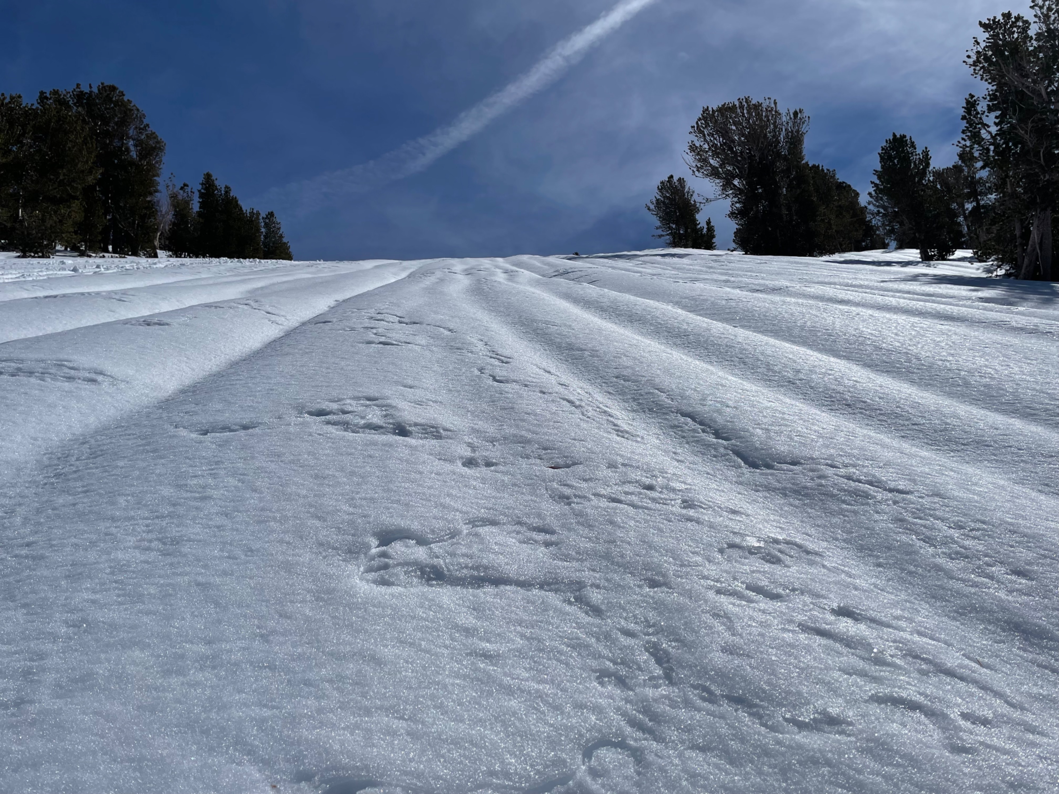
It looked like our last storm rained up to around 10000' give or take. Runnels were present most locations below this elevation. Just a tad of new snow was visible on the tops of the highest peaks.
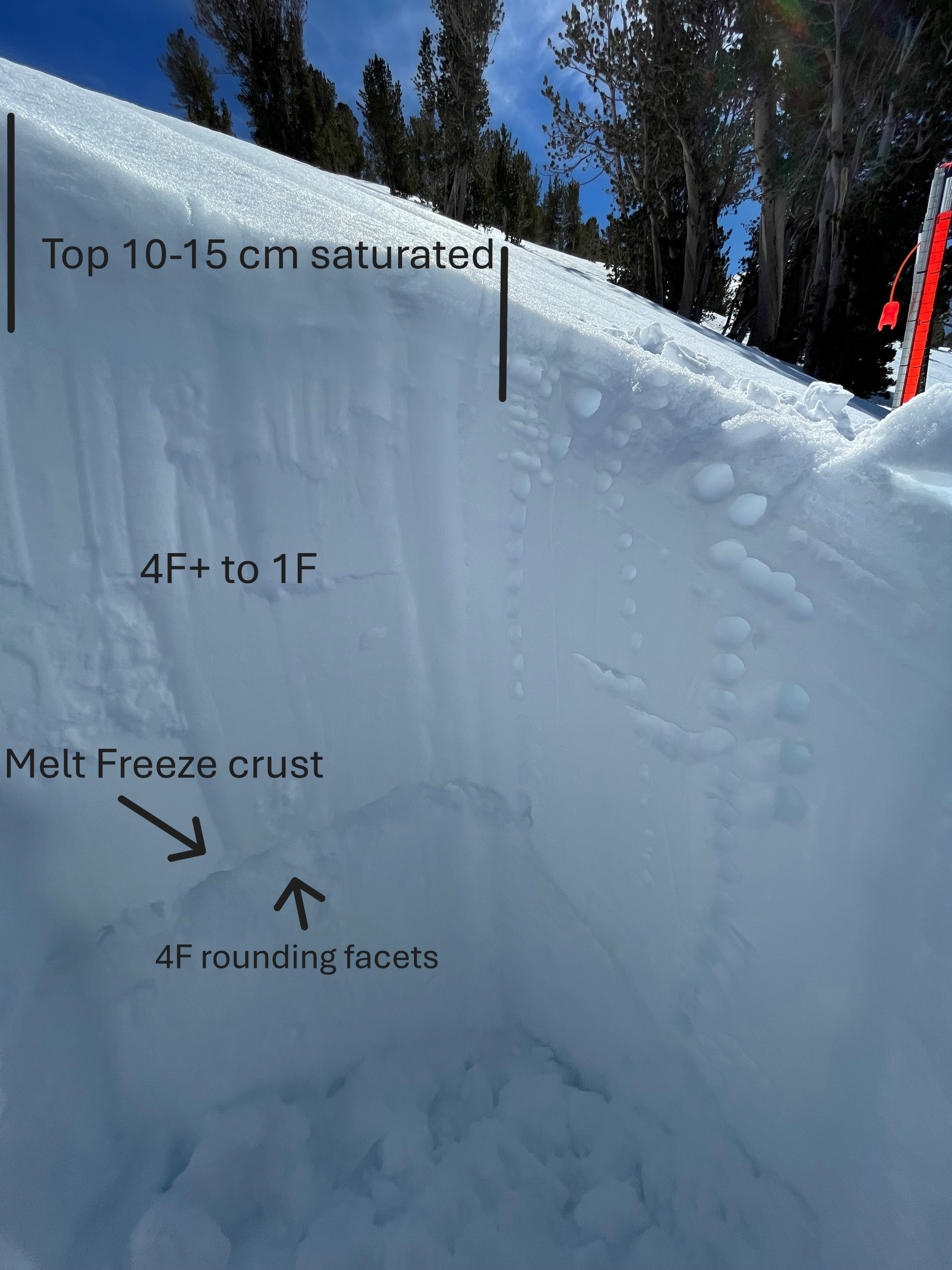
At 9800' on a NW aspect we found that rain had saturated the upper snowpack down to about 10-15cm from surface. The surface had superficially refrozen, but low temps got to only 35 F at Leavitt Lake Snotel last night. Facet/crust combo buried on 2/10 was present 85 cm from surface. These faceted grains were 4F hard and rounding, under an overlying 1F to 4F+ upper snowpack.
Recent rain has taken a toll on snowpack leaving obstacles closer to surface and larger sections of bare road.
Multiple natural wet loose avalanches from recent rains were observed.Weather
- Cloud Cover
- few
- Wind Loading
- none
- Snow Avail For Transport
- none
Warm temps. Light to moderate winds on ridgetops.
Snowpack
At 9800' on a NW aspect we found that rain had saturated the upper snowpack down to about 10-15cm from surface. The surface had superficially refrozen, but low temps got to only 35 F at Leavitt Lake Snotel last night. Facet/crust combo buried on 2/10 was present 85 cm from surface. These faceted grains were 4F hard and rounding, under an overlying 1F to 4F+ upper snowpack.