
Quick report
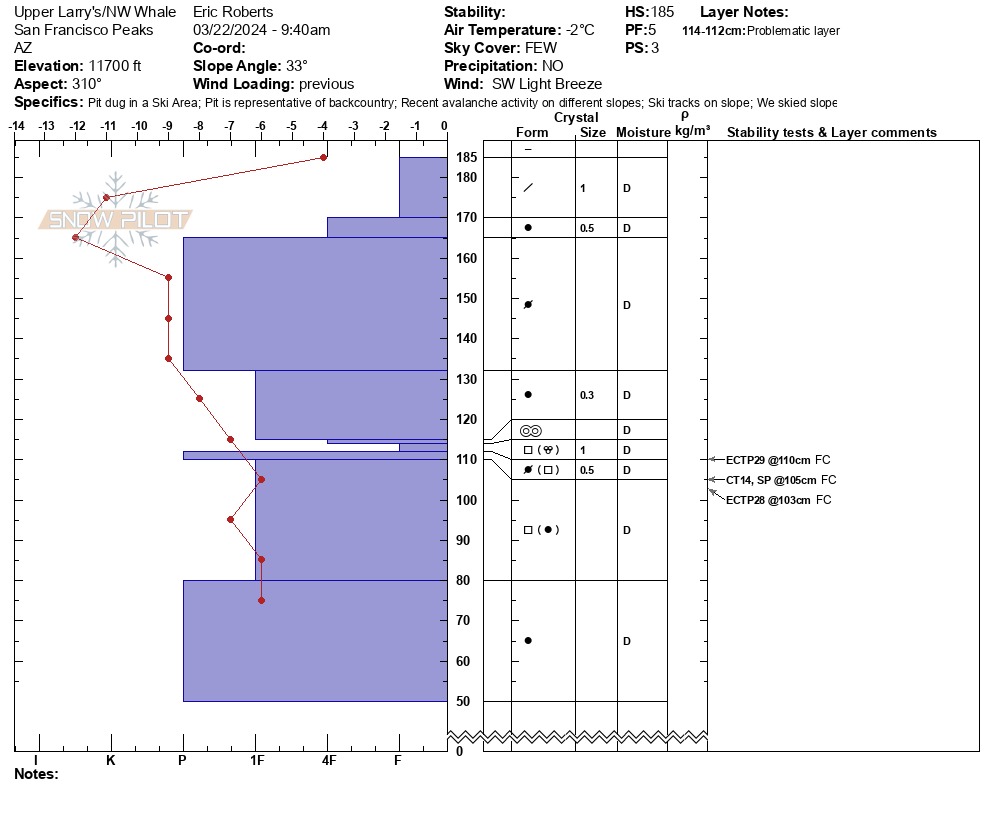
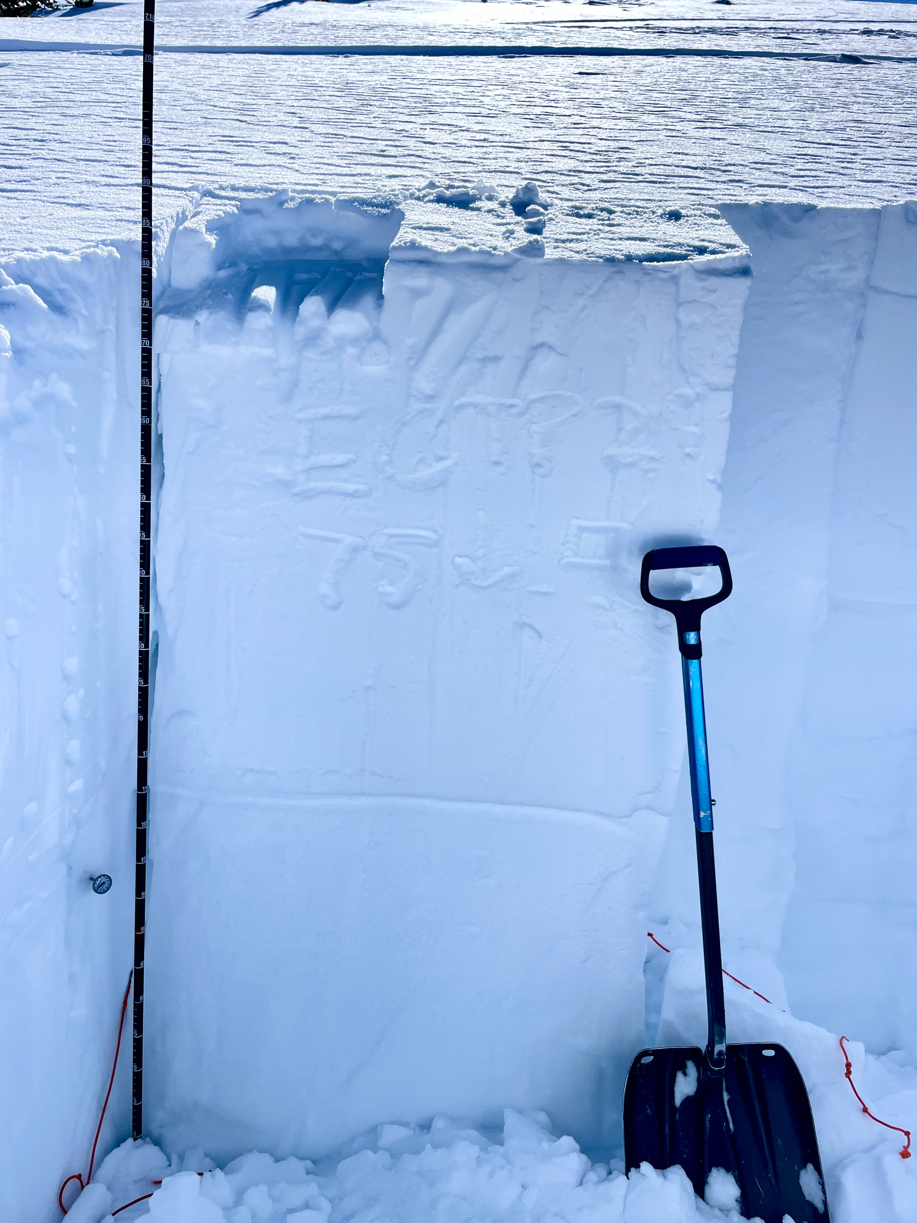
On NW aspects, instability tests reflected moderate structure, moderate-high strength, mod propagation propensity in this specific aspect.
Weather
- Air Temp
- 31 F
- Cloud Cover
- few
- Wind Loading
- previous
- Rain Elevation
- N/A
- Recent Snowfall
- 0 cm
- Snow Avail For Transport
- small smounts
FEW Ckouds, with SCT approx. 50 miles NW Light SW winds 5 mph, no gusts 31 F NO Precip Rime melting on trees/signs by 10:30
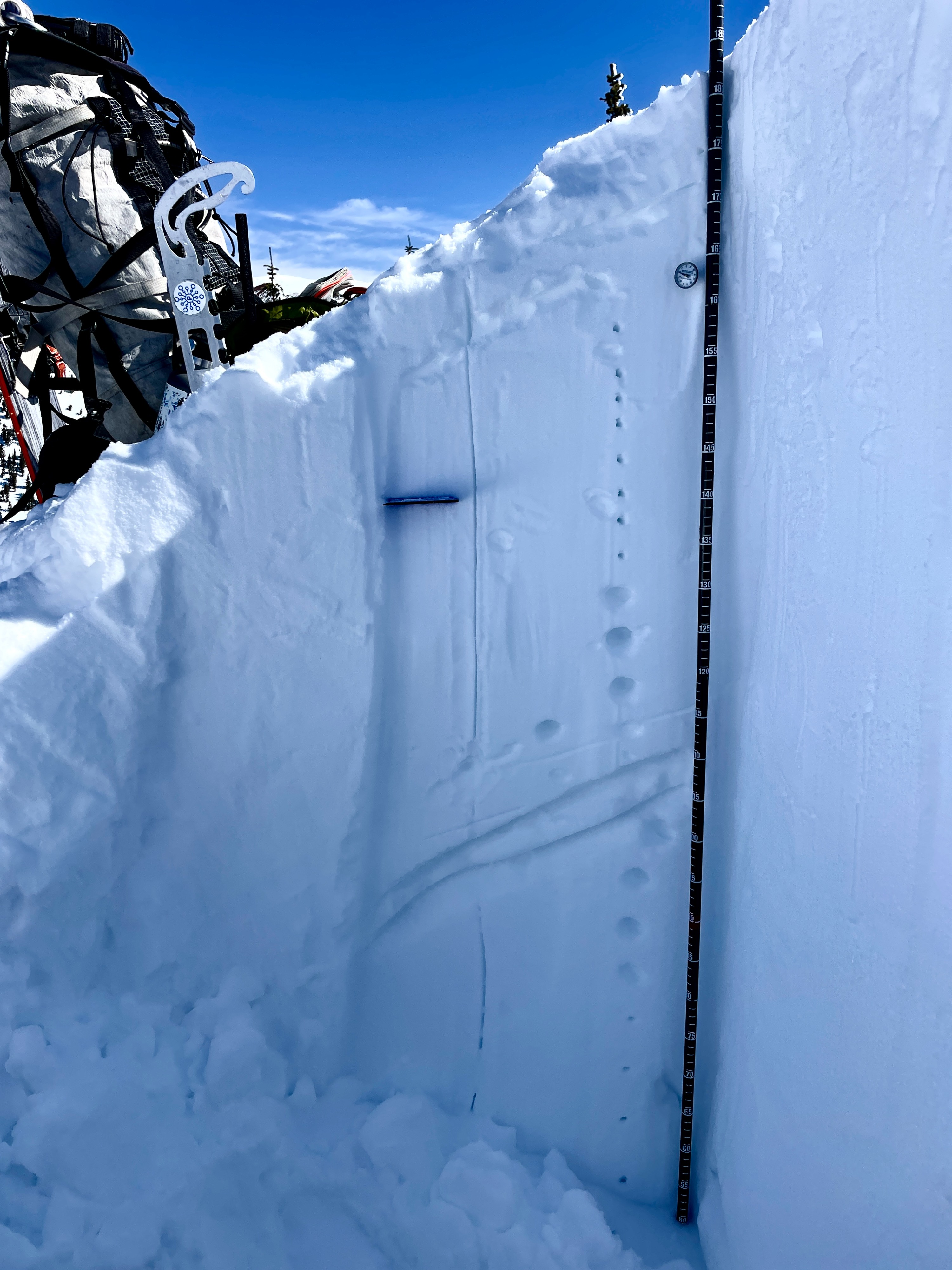
Snowpack
Snow Surface: 4F-1F supportable on W and N aspects. NE tilts have a poorly developed sun crust, most likely from clear days prior. Southerly aspects show wet-loose activity from day prior. Western ridge of agassiz has been scoured in many areas down to the previous wind slab, formed within the last week or storm prior. No major change in snowpack conditions from yesterday on Northerly and Southerly slopes. Continuation of clear weather, calm winds and solar affect will potentially produce more wet-loose activity prior to incoming wind and precipitation. Height of snow (HS) is variable ranging from 50-130 cm on NW aspects. Ski Conditions were variable on W aspects, with few consistent turns. Supportable throughout the morning, but shallow aspects could hide hazards such as trees, stumps and rock below.