
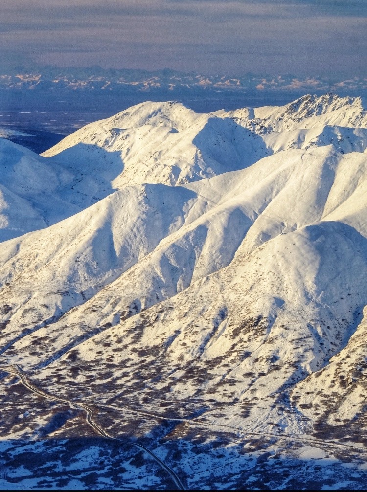
Quick report
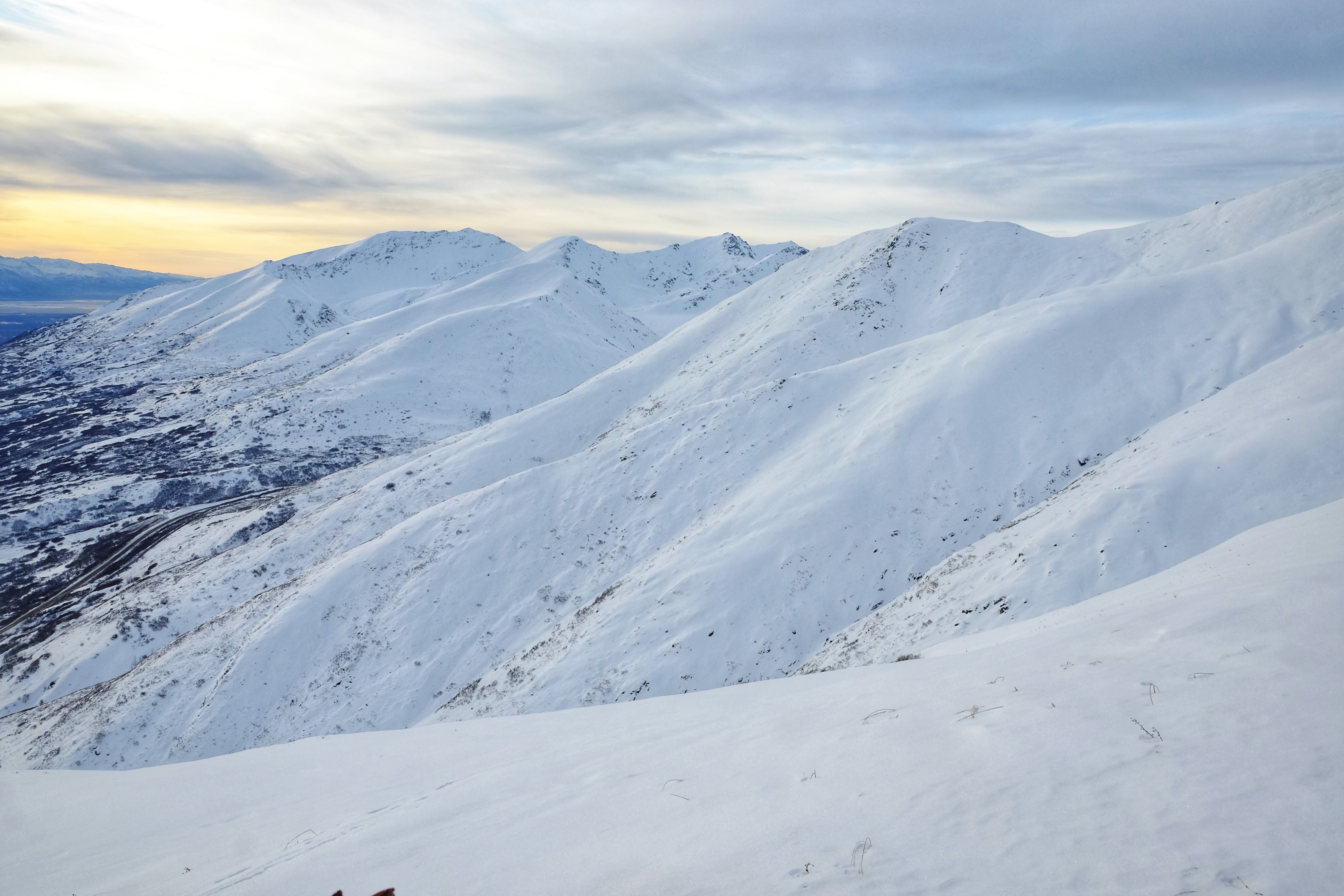
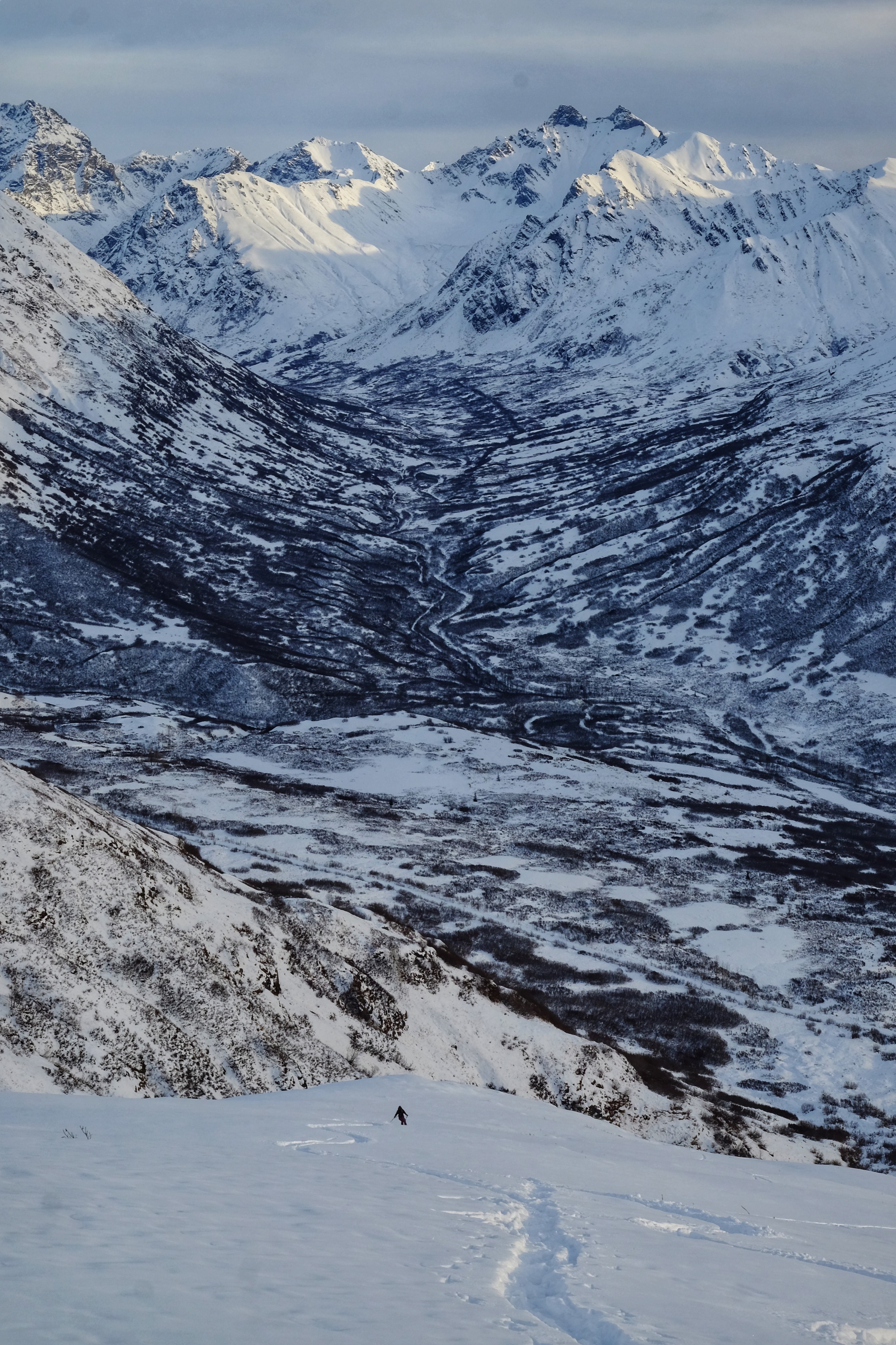
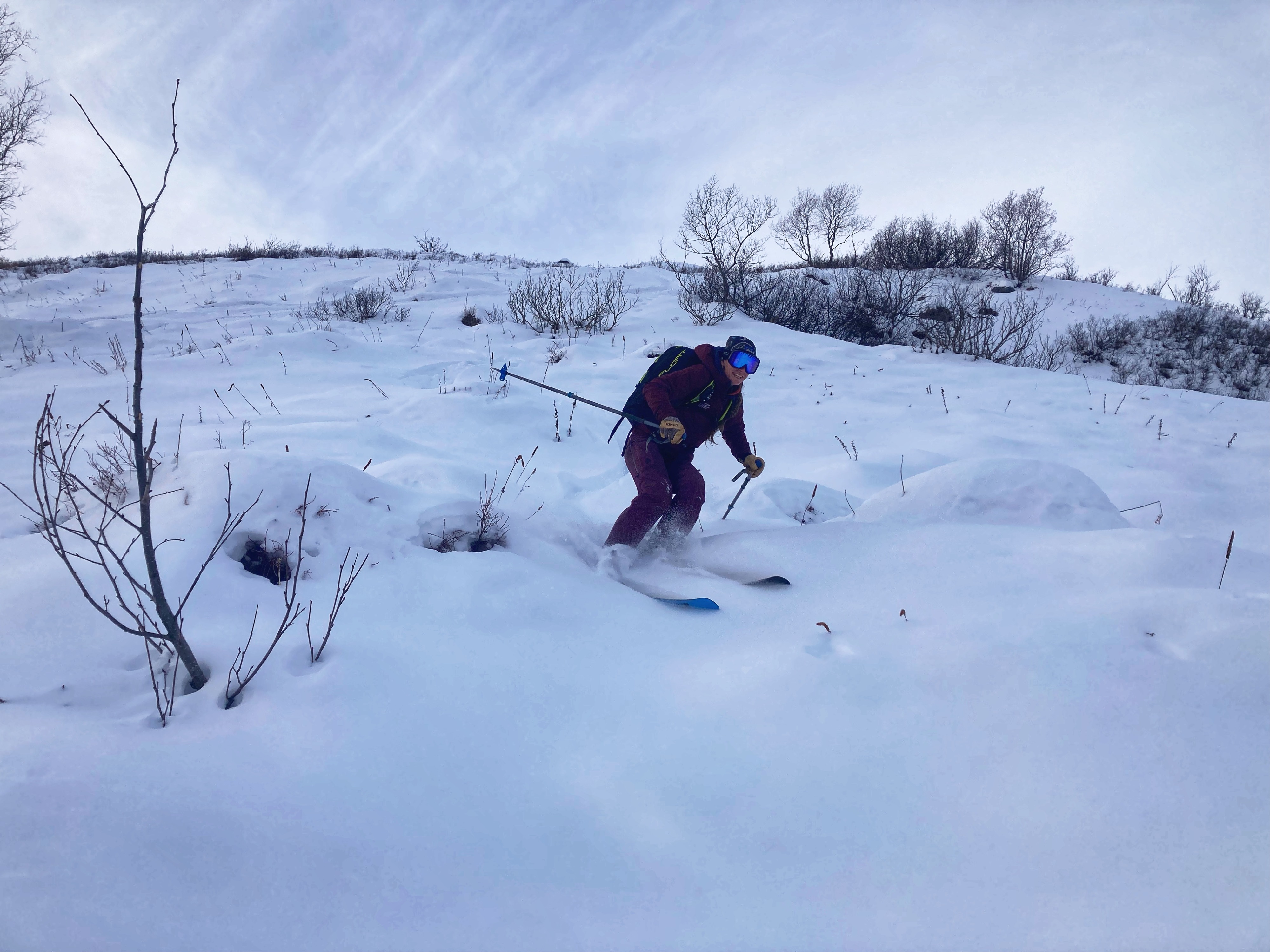
It's still November, and the last snowfall was about a week ago. Temps have been unseasonably warm, and the high clouds that moved in last night brought some of the flattest light of the week to Hatcher Pass. That said, today's turns on President's Ridge were some of the softest and most consistent of the season. We were hoping to put eyes on some windward aspects and poke around in an area that has received limited observations, so we headed towards President's Ridge and the SE aspect of Marmot. Besides some creek crossings and a little bush bashing, travel was overall pretty straightforward and easy, only encountering a few areas of old, stiff wind slab towards the top of the ridge, around 3500 ft. No instabilities were observed, and while the recent warm temps didn't appear to affect the snowpack structure, on the descent an increase in supportability and general "body" of the snowpack was evident, and made for easier, more consistent sliding. Overall, no big surprises or changes from this morning's forecast. The biggest question is how the snowpack will hold up to this incoming storm, and while the structure isn't a great one to add a load to, we'll have to wait and see how the storm plays out.
No instabilities observed although snowpack structure remained thin and weak throughout our area of travel.Weather
- Air Temp
- 36
- Cloud Cover
- broken
- Wind Loading
- none
- Snow Avail For Transport
- small smounts
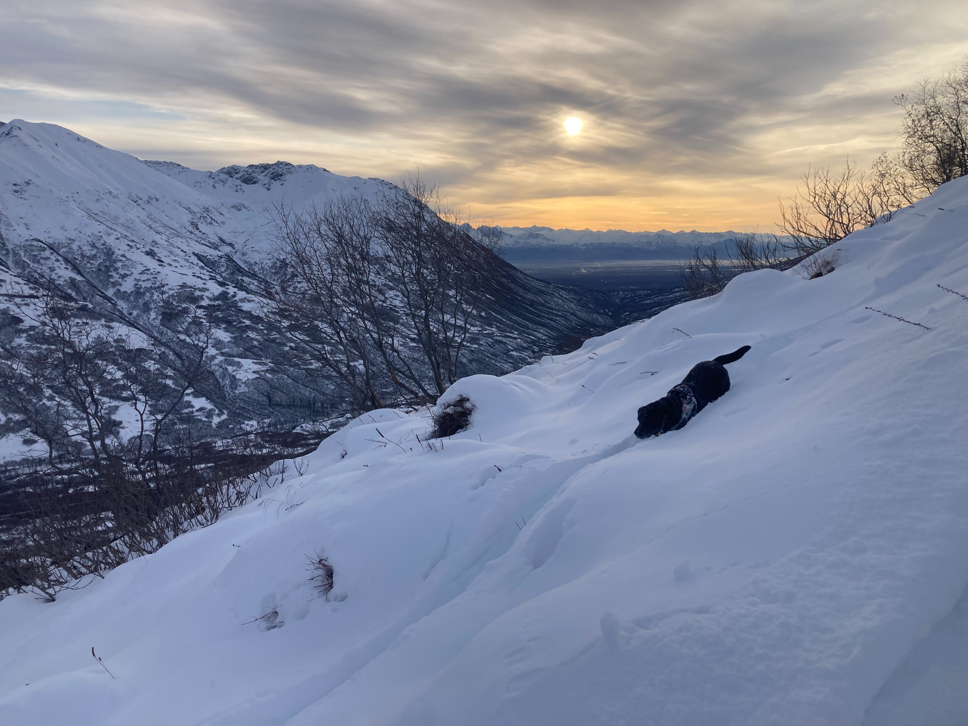
High clouds made for flat light for the majority of the tour but as we ascended clearing helped improve the definition. Temps were mild (seasonably warm) hanging in the mid-30's for the duration of our tour. Winds were generally calm to light out of the E/NE. The weather service is forecasting a system to impact Hatcher Pass beginning early Monday and bringing the possibility for 4-8 inches of new snow.
Snowpack
Snowpack structure remains thin and variable throughout the forecast area. In general the height of snow on our tour ranged from 1-2 feet, with the predominant theme being loose, faceted, sugary snow constituting the majority of our snowpack. Recent warm temperatures have done little towards settling and solidifying the upper layers of this thin snowpack, and it's hard to tell in snowpits or snowpack tests, but you can feel the snow has slightly more body and support when traveling over it. We encountered a couple of small, isolated areas where these warm temps and maybe some weak solar activity worked to create a thin, brittle crust on or just under the snow surface. These were super isolated pockets and limited to low elevation south facing slopes where conditions were just right. I wouldn't expect this layer to last long or pose any significant impact to the snowpack moving forward, but it is interesting given the weak solar angle we have right now. My biggest question remains how this snowpack will hold up under an additional load considering we've got a storm approaching, and although it's not looking great, we'll have to wait and see how the storm pans out.
Avalanche
No avalanches were observed today, scroll down through the observations to see some avalanche observations from the last week.