
Quick report
- Cracking
- isolated
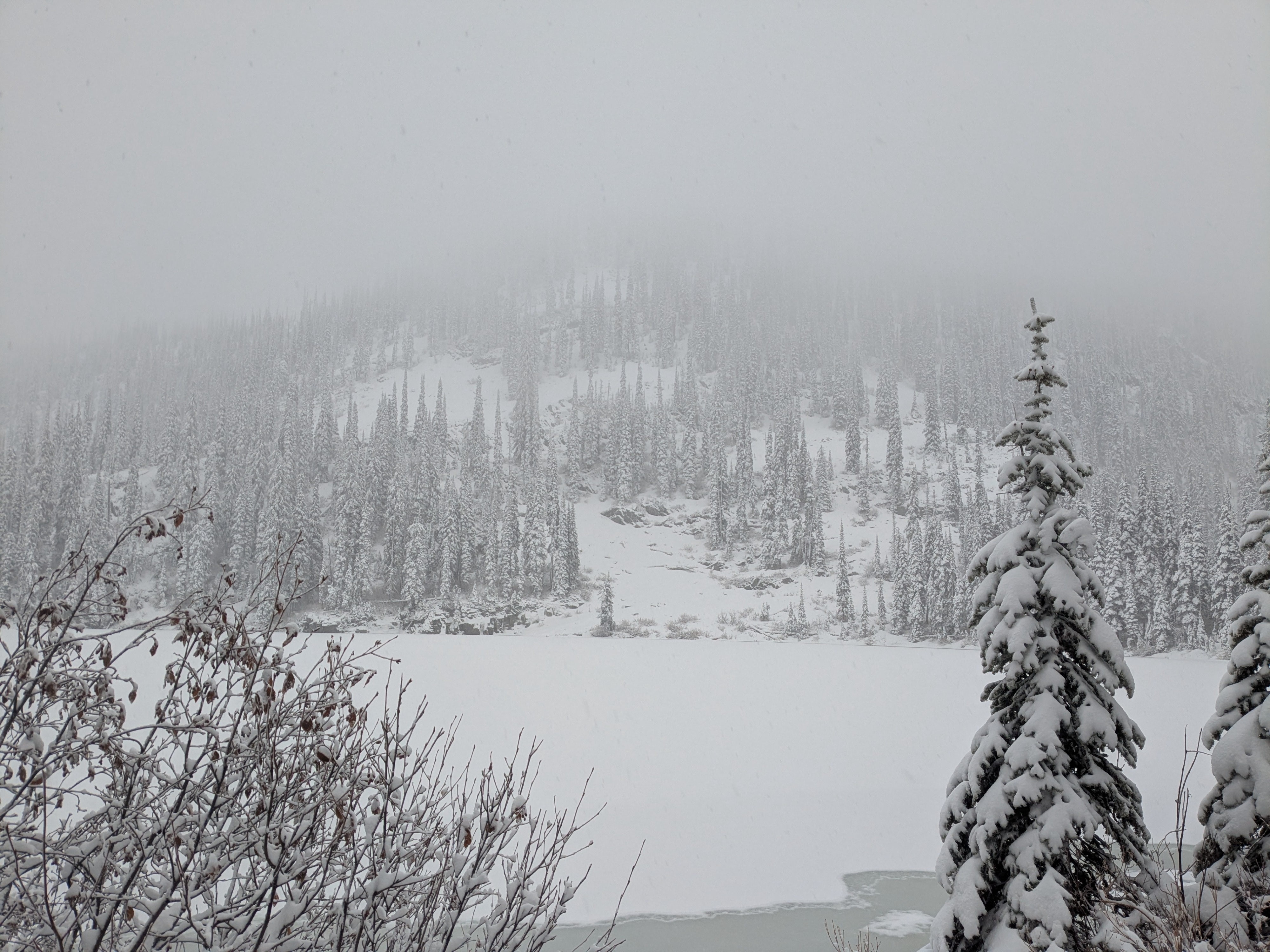
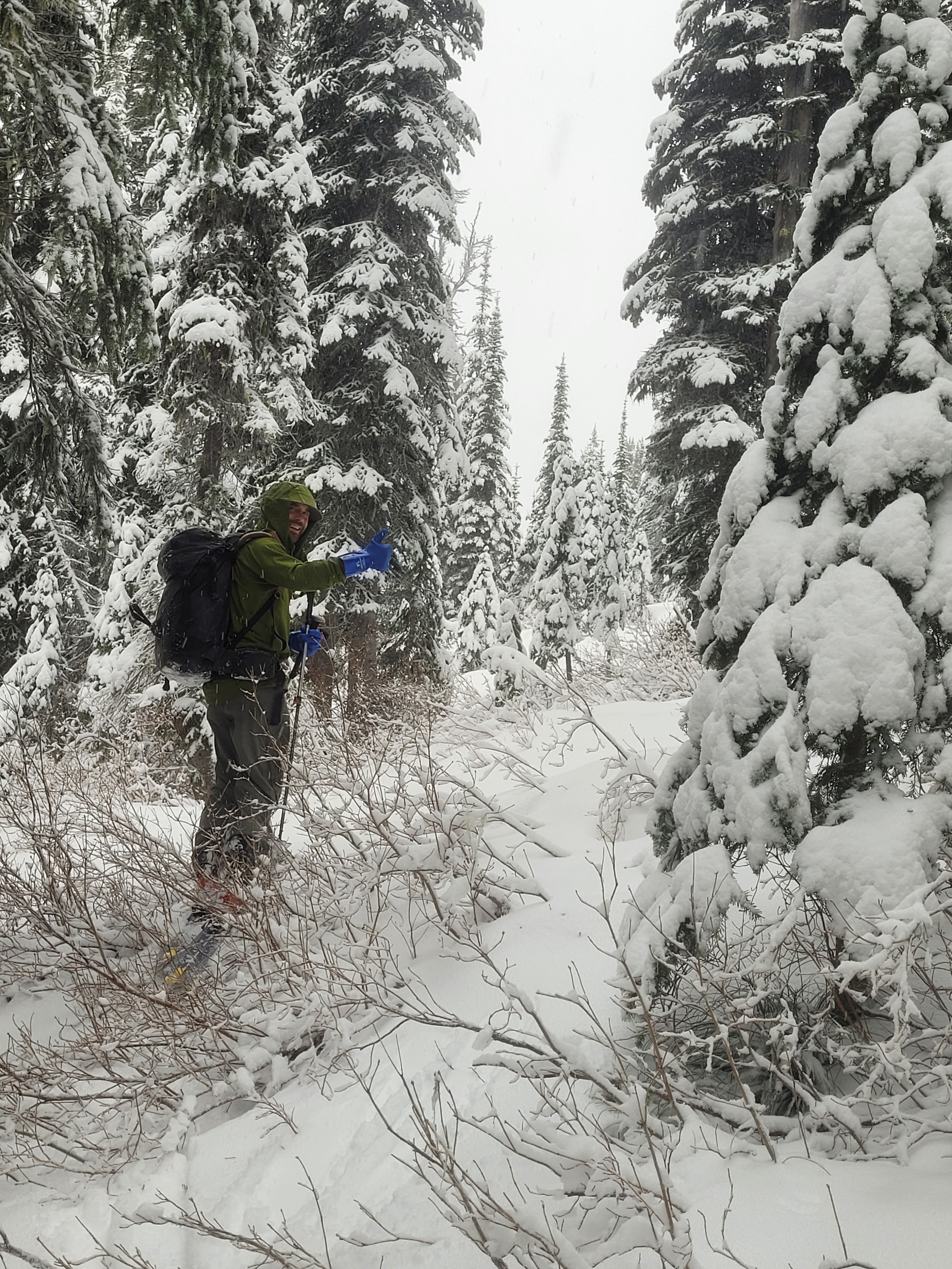
Overall snow coverage continues to be low but this last weekend storm added new snow with amounts highly dependent on elevation. The snowline came down to about 4300 feet in the upper Lightning creek drainage, adding just a thin couple inches. New snow depths steadily increase with elevation and we observed around 20 cm of new snow and a total snowpack height of 60 cm near 6300 feet.
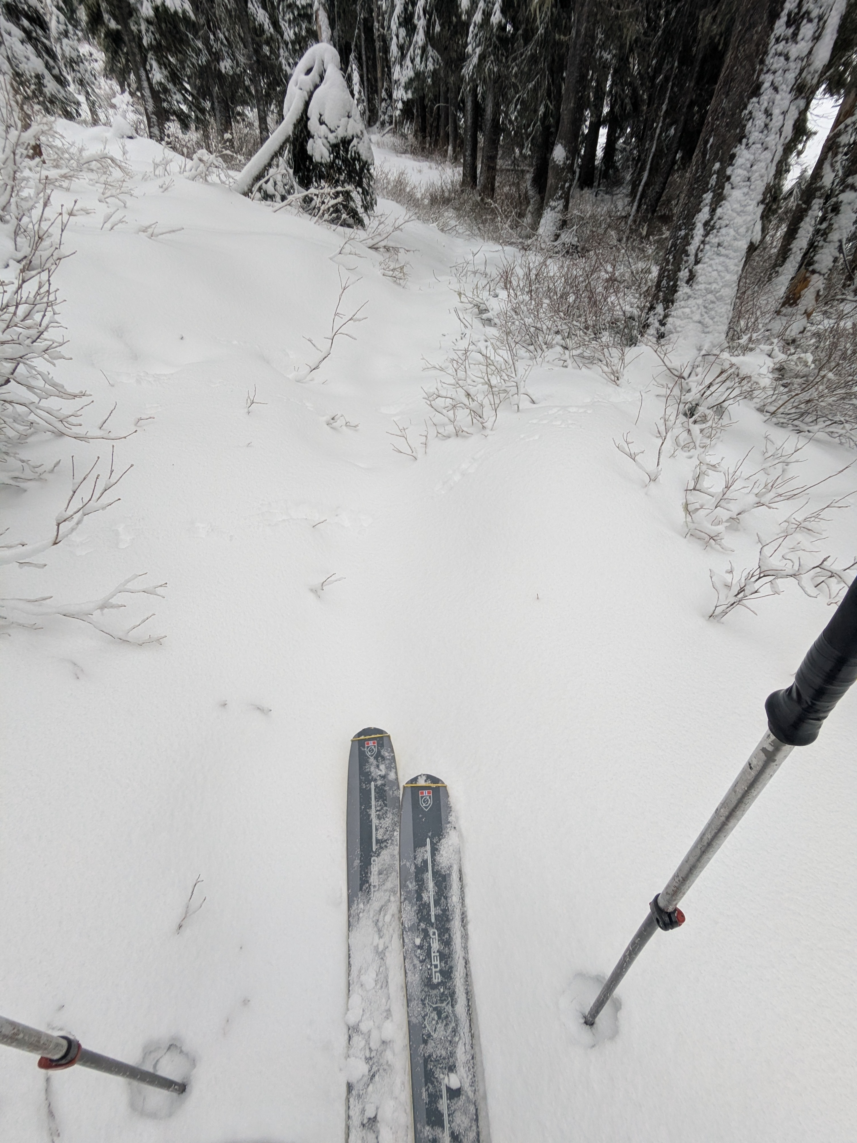
Cracking in the new snow along the skin track. Small loose snow sluffing with ski pressure in terrain above 35 degrees.Weather
- Cloud Cover
- obscured
- Wind Loading
- moderate
- Rain Elevation
- 3,500
- Recent Snowfall
- 20 to 25
- Snow Avail For Transport
- small smounts
Obscured skies with light to moderate snowfall. Winds were stronger along ridges and easily transporting the new snow onto northerly and easterly-facing slopes.
Snowpack
Current early season snow depths, and associated snowpack structure, vary greatly with elevation. In our travels in the upper Lightning Creek drainage we observed a change around 5500 feet. In broad terms, this appears to be the general elevation where snow coverage existed above and mostly bare ground below this elevation during this months rain at all elevations.
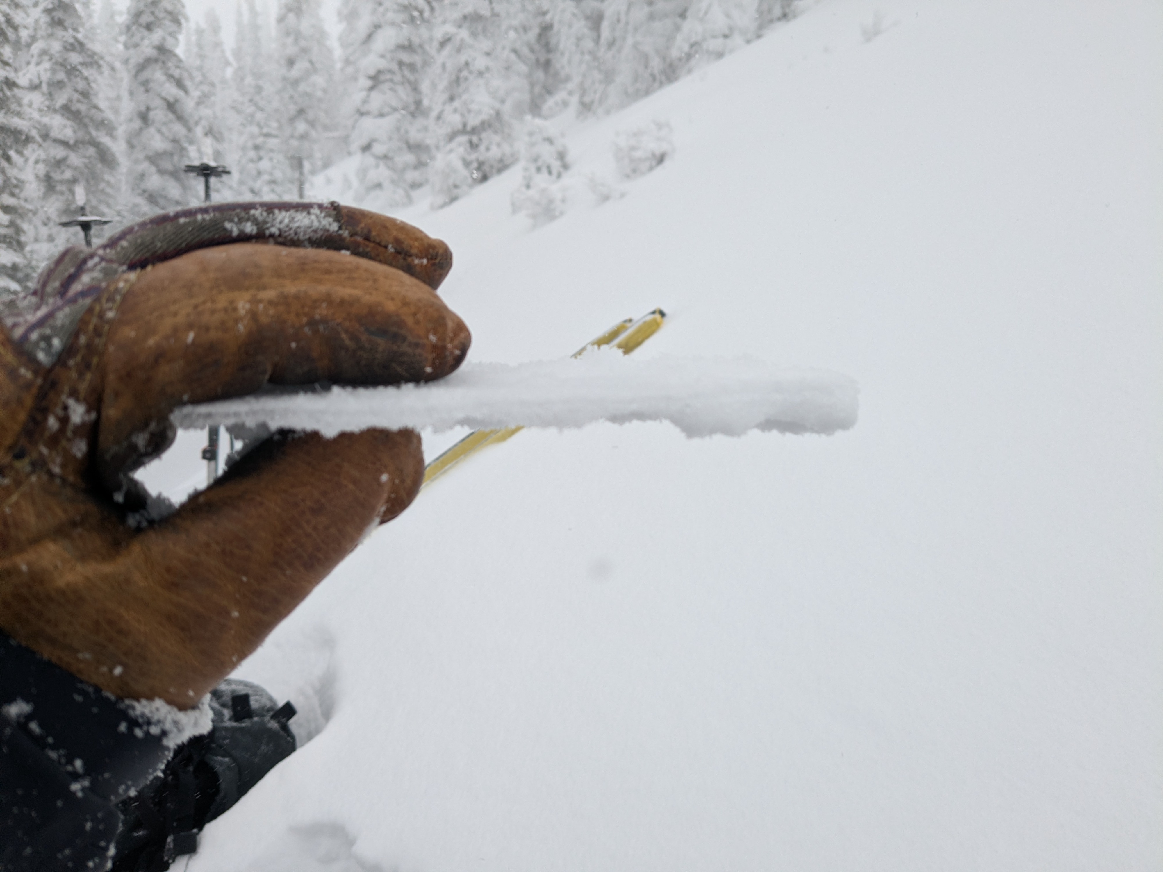
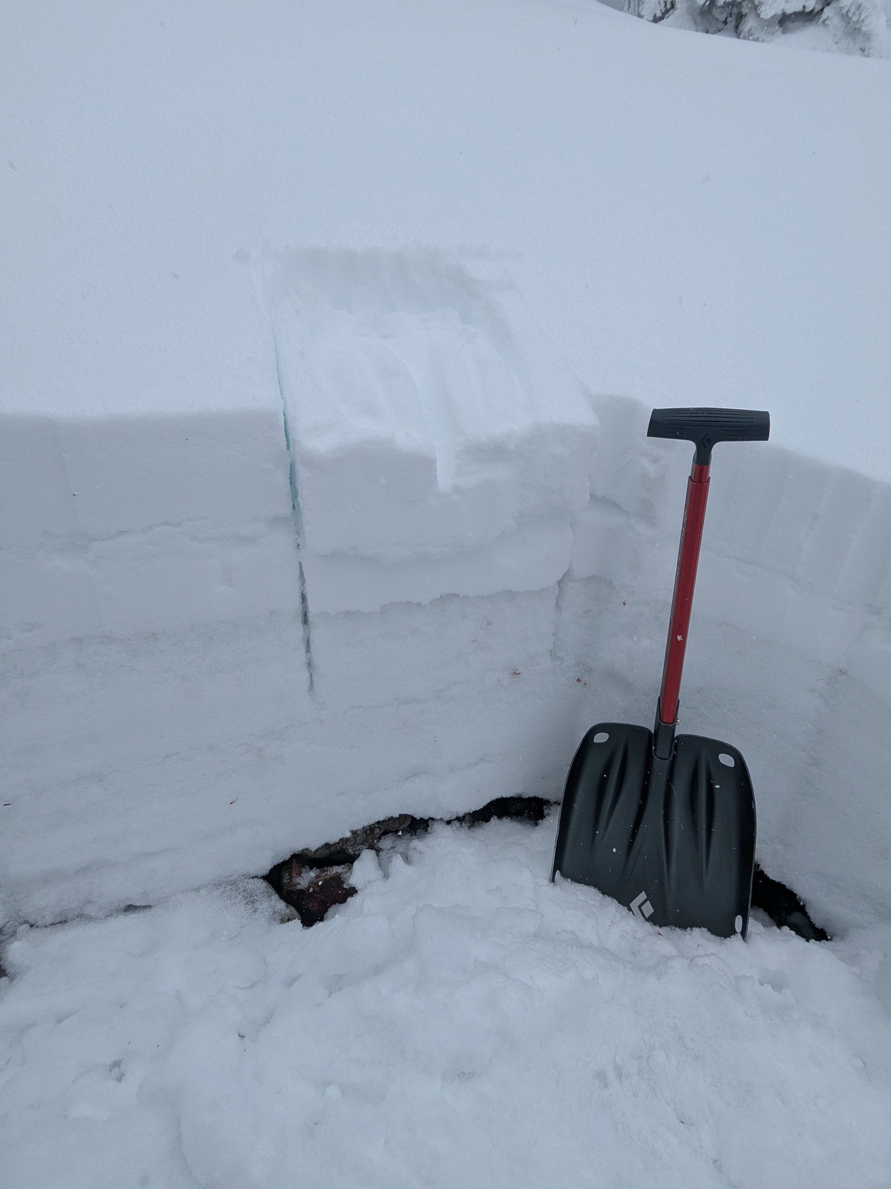
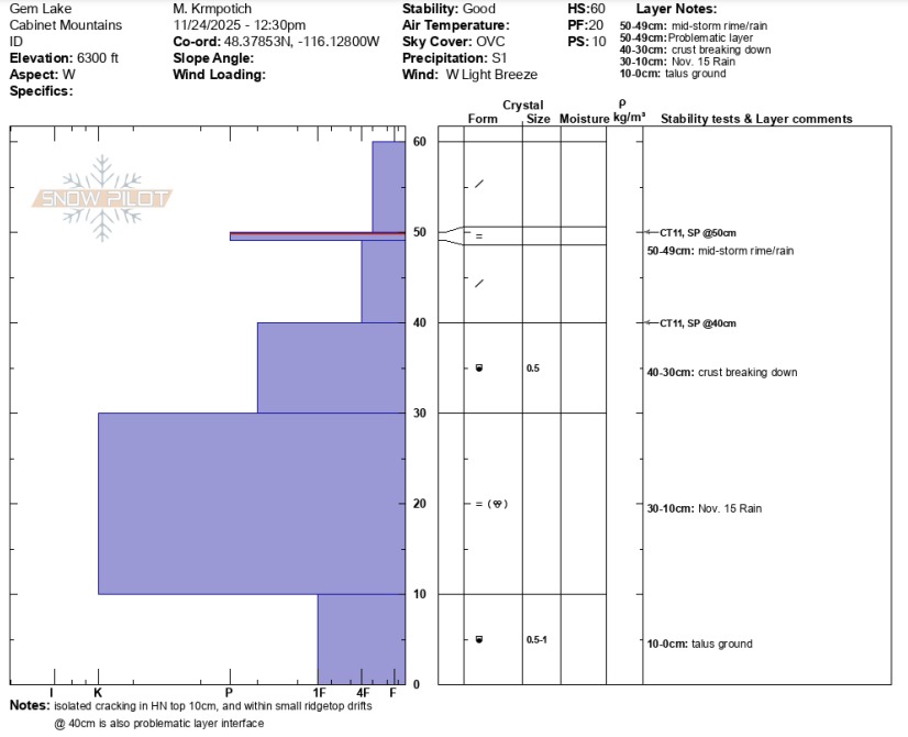
At 6300 feet on a west aspect we found a total snowpack height of 60 cm. The top 10 cm sits on a thin crust, 1 cm thick and P hard, likely formed from a brief rime or rain transition during this storm. 20 cm below the surface lies the November 14 rain crust. The upper crust is P hard and below that the snowpack is mostly K hard to the ground. We observed moderate force sudden planar CT results, CT 11 SP, on both the aforementioned crust interfaces - down 10 cm and down 20 cm. We noted the top of November 14 rain crust, and within the crust, is beginning to break down forming small faceted grains. We also noted isolated cracking in the new snow and within small ridgetop drifts occurring on the thin upper crust down 10 cm.