
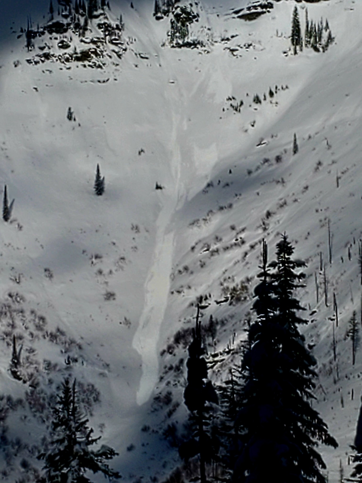
Quick report
Wind effect was evident in upper elevation terrain as noted in recent observations. Above treeline the snow surface is compacted with very little snow available for transport. Windslabs that formed early in the week are stiff and stubborn. Light to moderate winds switched from south-southwest to west-northwest in the afternoon. Temperatures remained above freezing and surface snow warmed throughout the day. Sheltered north aspect's remained soft and pleasant to ski but took on enough moisture today to potentially form a thin melt freezer crust when temperatures drop tomorrow and into the weekend. Below 5000' snow was shallow, warm, wet, and heavy this afternoon.
Evidence of small wet loose on solar aspects in steep terrain within the last 48 hours. Glide cracks present at upper elevations on south easterly aspect. Generally stable snowpack structure across the terrain with surface instability due to yesterday's sun and warm temperatures today.Weather
- Air Temp
- 34
- Cloud Cover
- broken
- Wind Loading
- previous
- Recent Snowfall
- 0
- Snow Avail For Transport
- small smounts
Partly cloudy and breezy above 5500'. Light to Moderate SSW winds with gusts in the teens switching to NW in the afternoon. Cloud ceiling at 6000'. Temps above freezing in the mid 30's thoughout the day.
Snowpack
Generally stable snowpack structure across the terrain with surface instability due to yesterdays sun and warm temperatures today. Stability tests on south aspect yielded one CT failure with moderate force about 12 inches down on a fragile melt freeze crust and one CT failure with hard force about 3 feet down on facets under a rain crust. No propagation in ECT's. Surface snow was warming and taking on moisture thoughout the day. As temperatures drop overnight and into the coming days expect to see an unpleasant breakable melt freeze crust on the surface.