
Quick report
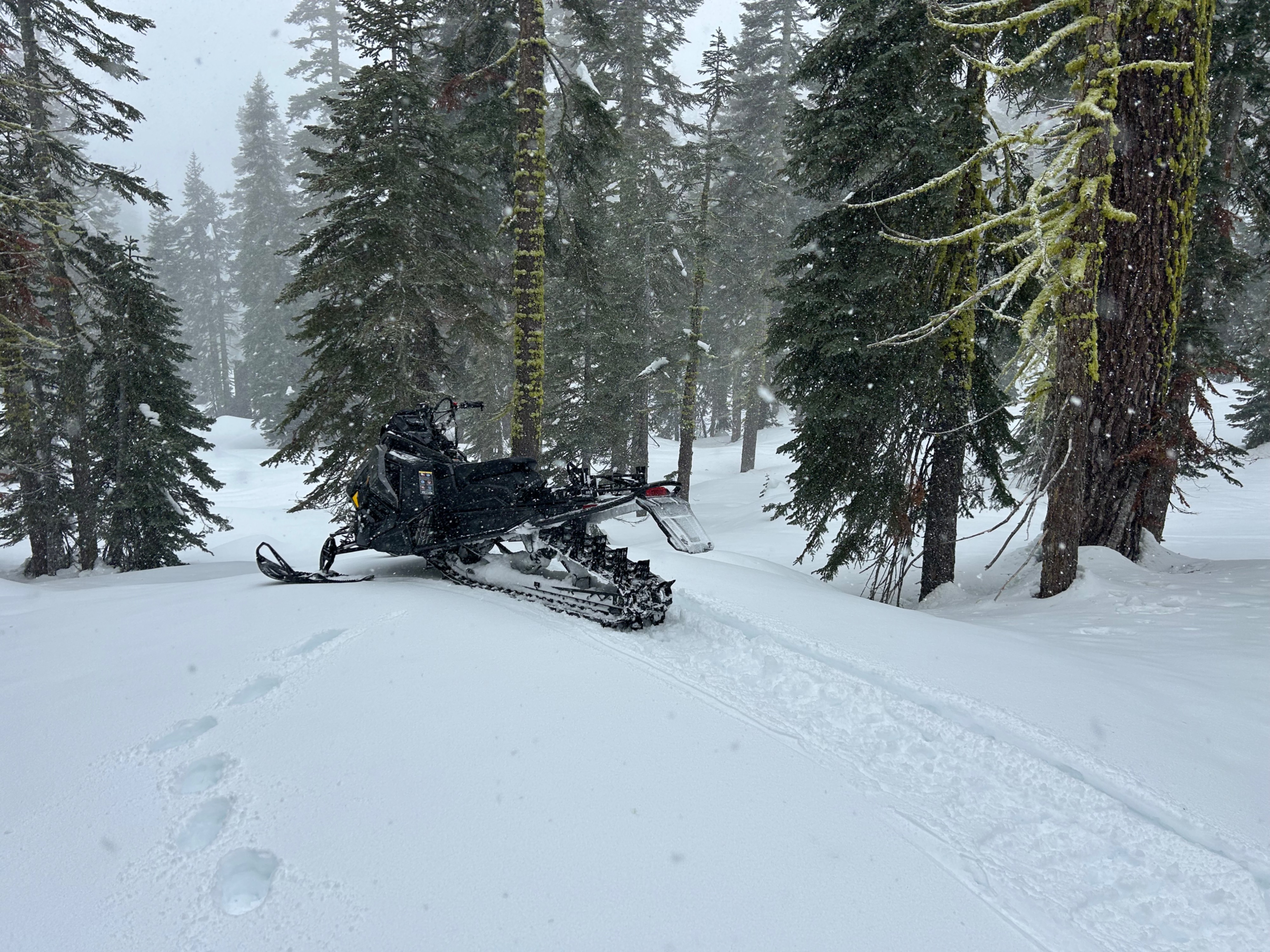
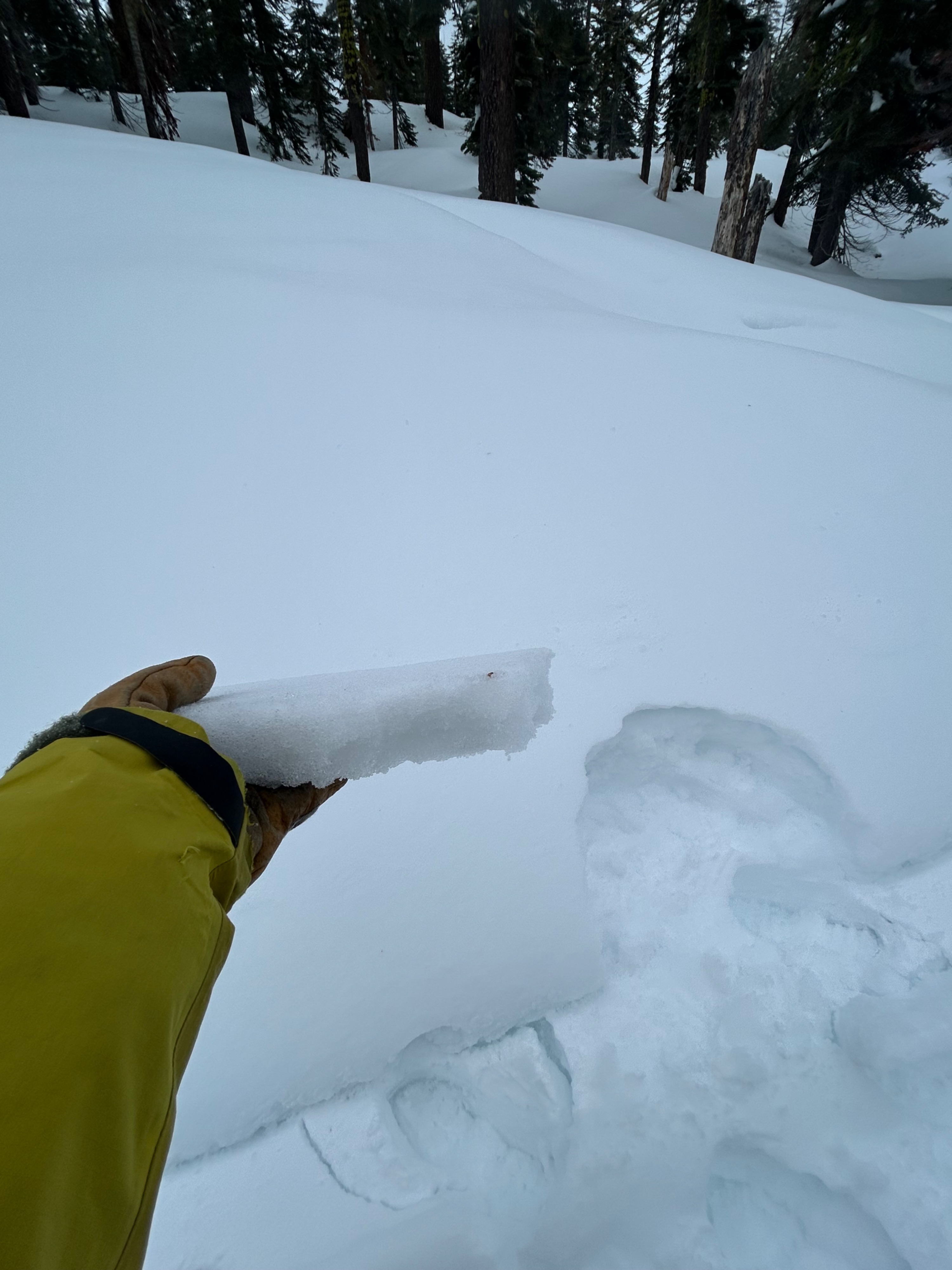
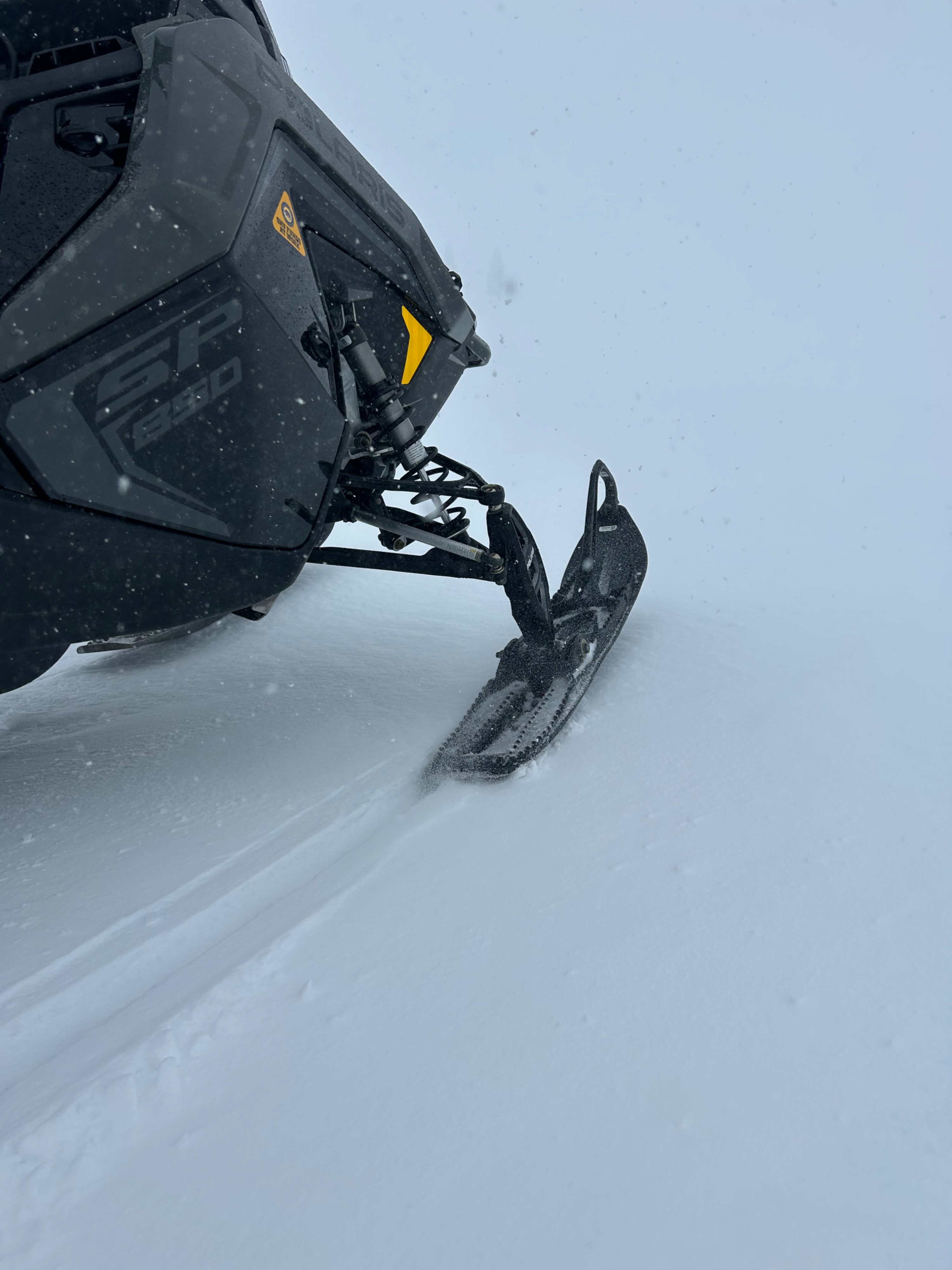
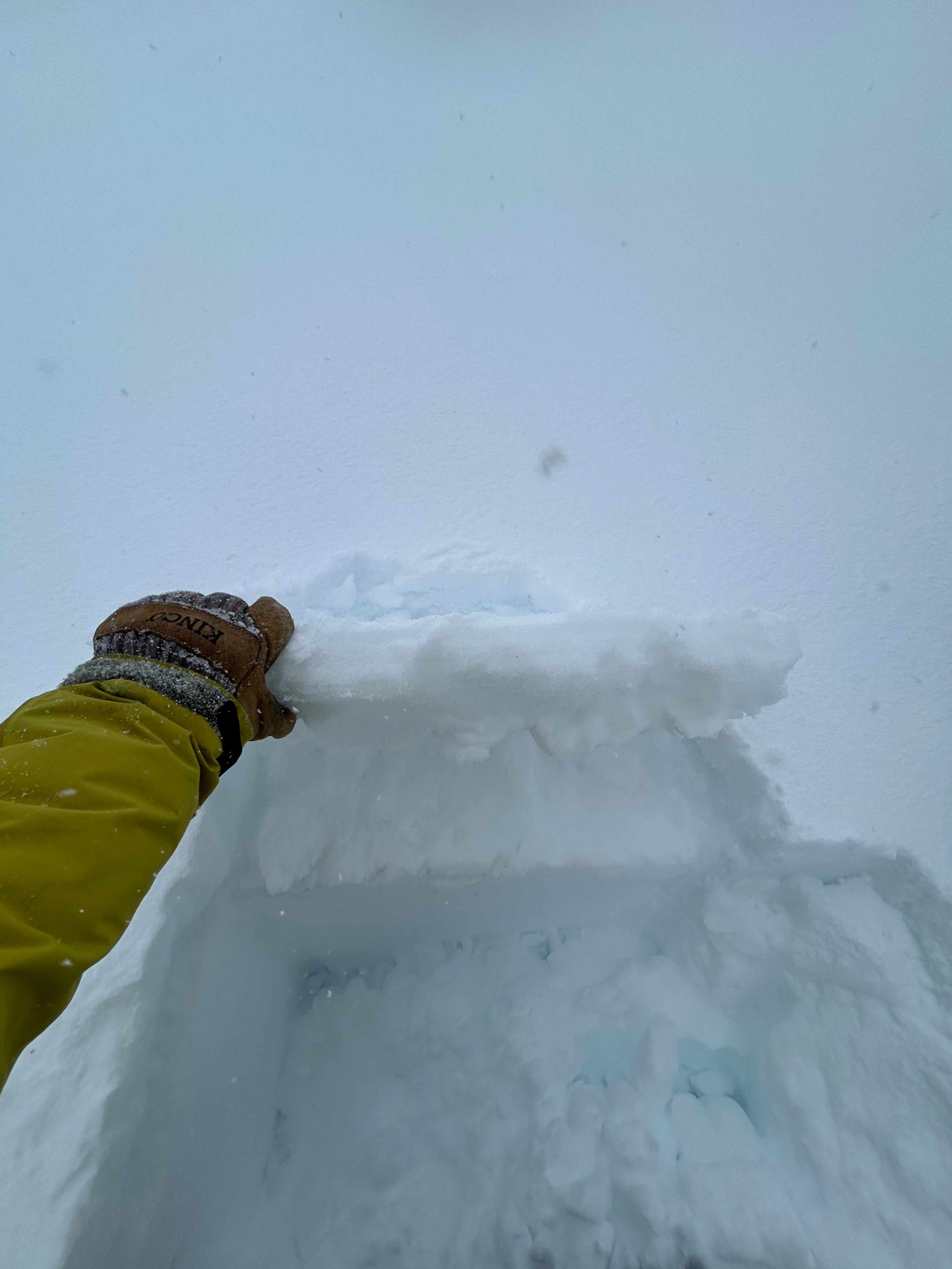
Today, I stuck my nose into the storm to see what changes had occurred over the past 24 hours. The result— a widespread crust on all aspect near and below treeline. Yesterday, rain fell on snow up to 8,000 feet, re-freezing overnight and creating a stout 1-3 inch crust. This crust is supportable on boards and machines, but not feet.
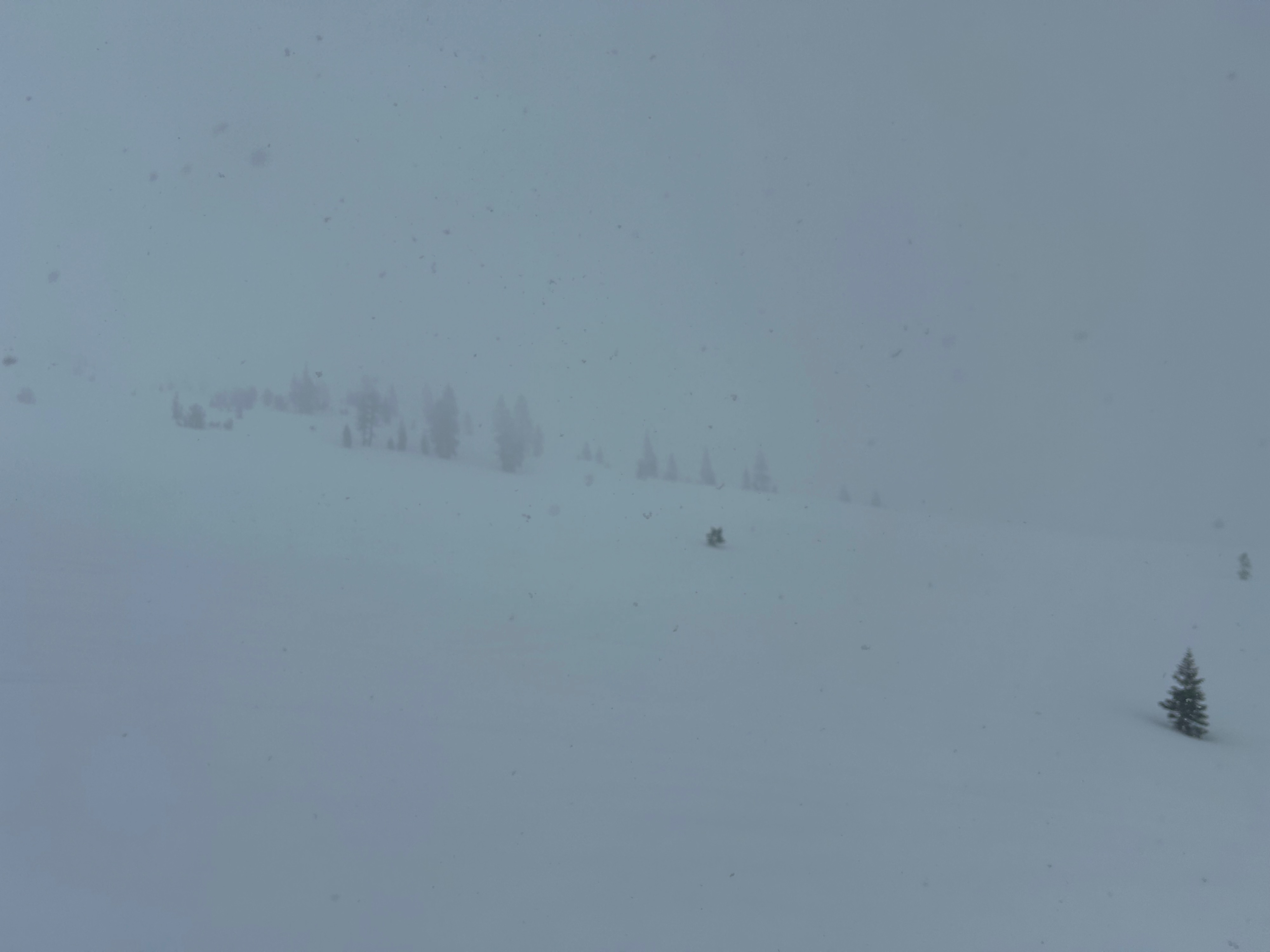
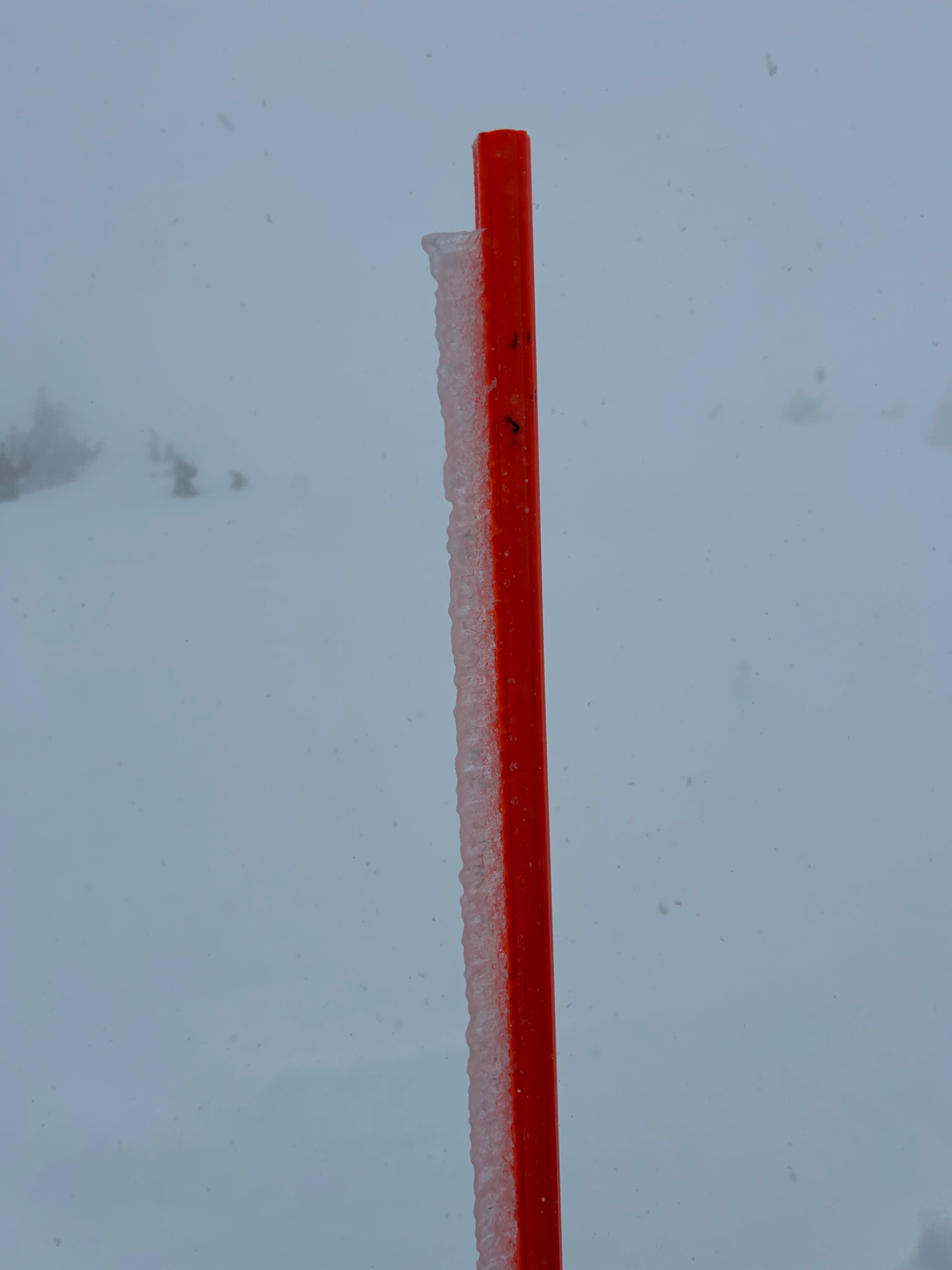
Half an inch of new snowfall was observed at 1300 hours near treeline. Blowing snow was experienced for the majority of the outing, with transport being specific to north and east aspects near treeline. Visibility was poor, and above treeline was not observed. Frozen surfaces have relieved wet-loose instabilities for now.
Weather
- Air Temp
- 30
- Cloud Cover
- obscured
- Wind Loading
- moderate
- Rain Elevation
- 5,000
- Recent Snowfall
- 1
- Snow Avail For Transport
- small smounts
Today, a quick hitting pulse of weather delivered below freezing temperatures, poor visibility, moderate to strong southwest winds, and roughly an inch of new snow fall.
Snowpack
- The snowpack has transitioned from warm to cold, resulting in a widespread surface crust, 1-3 inches thick.
- A half inch of snow has fallen near treeline, with likely higher amounts above treeline.