
Quick report
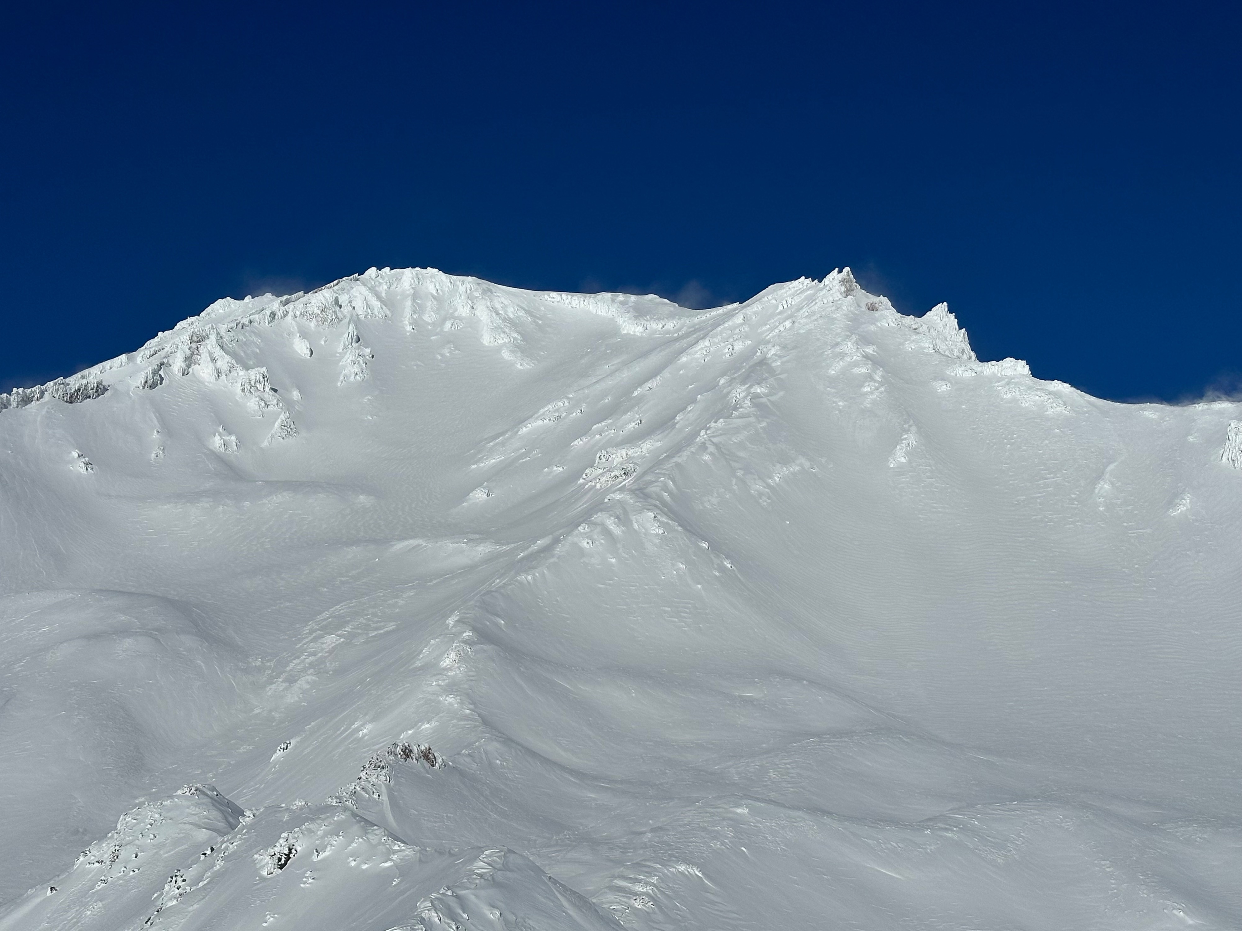
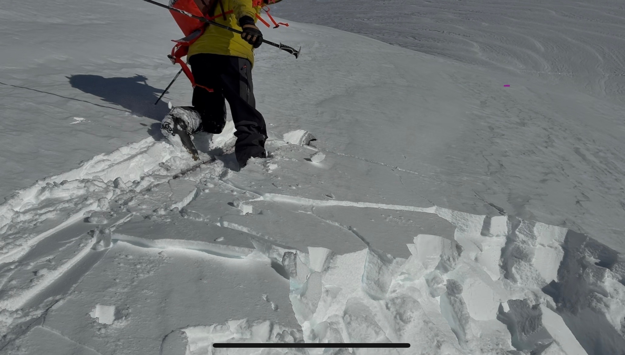
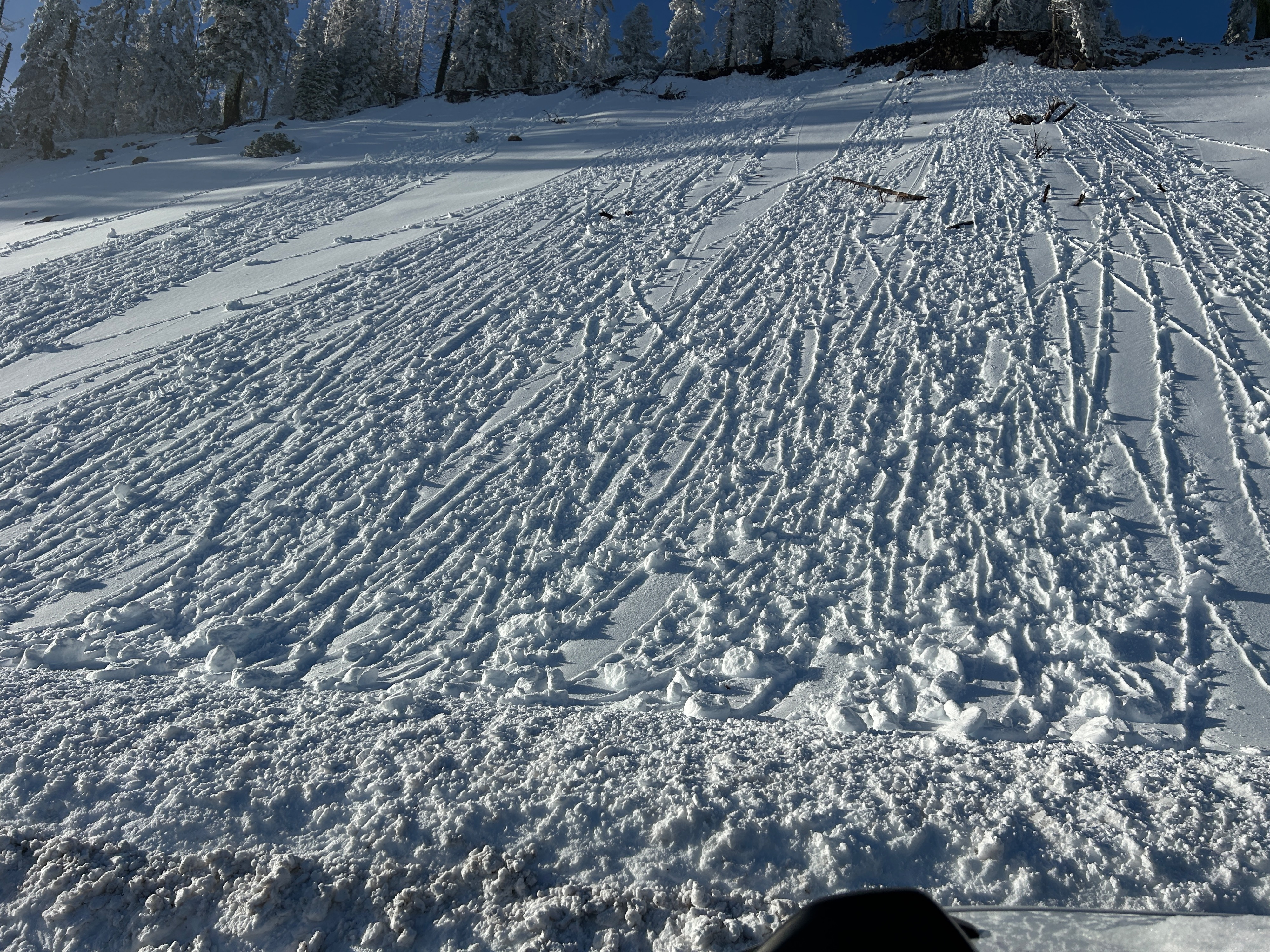
Today, Mount Shasta stood glorious, blanketed in white following the storm. A natural avalanche cycle was observed, which most likely took place yesterday afternoon during a period of High danger. Three separate avalanches were identified, although there are probably more. All occurred above treeline and involved the new storm snow. Sizes range from D1-D3 and slid primarily on west aspects. See the Avalanche section for more information.
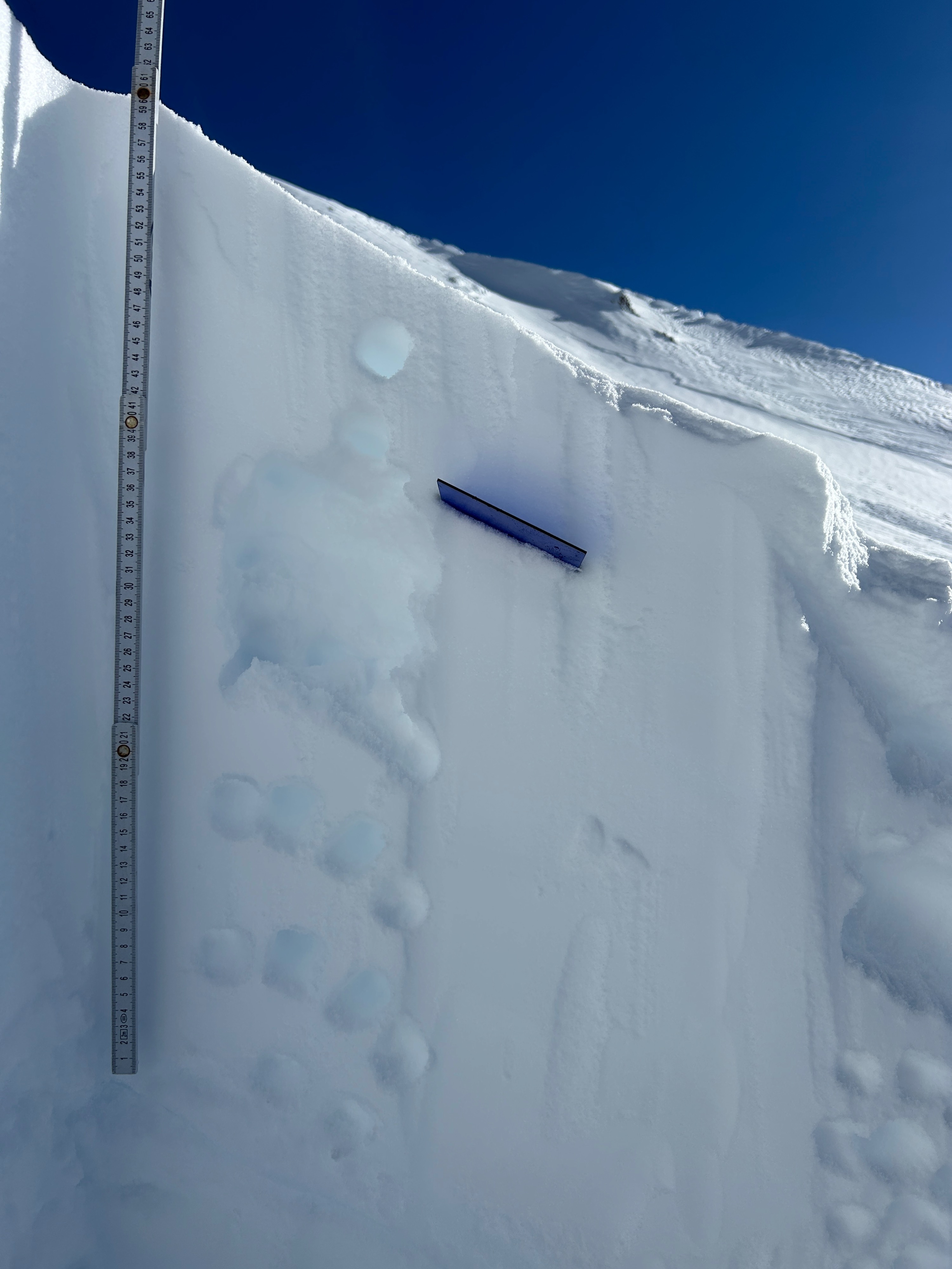
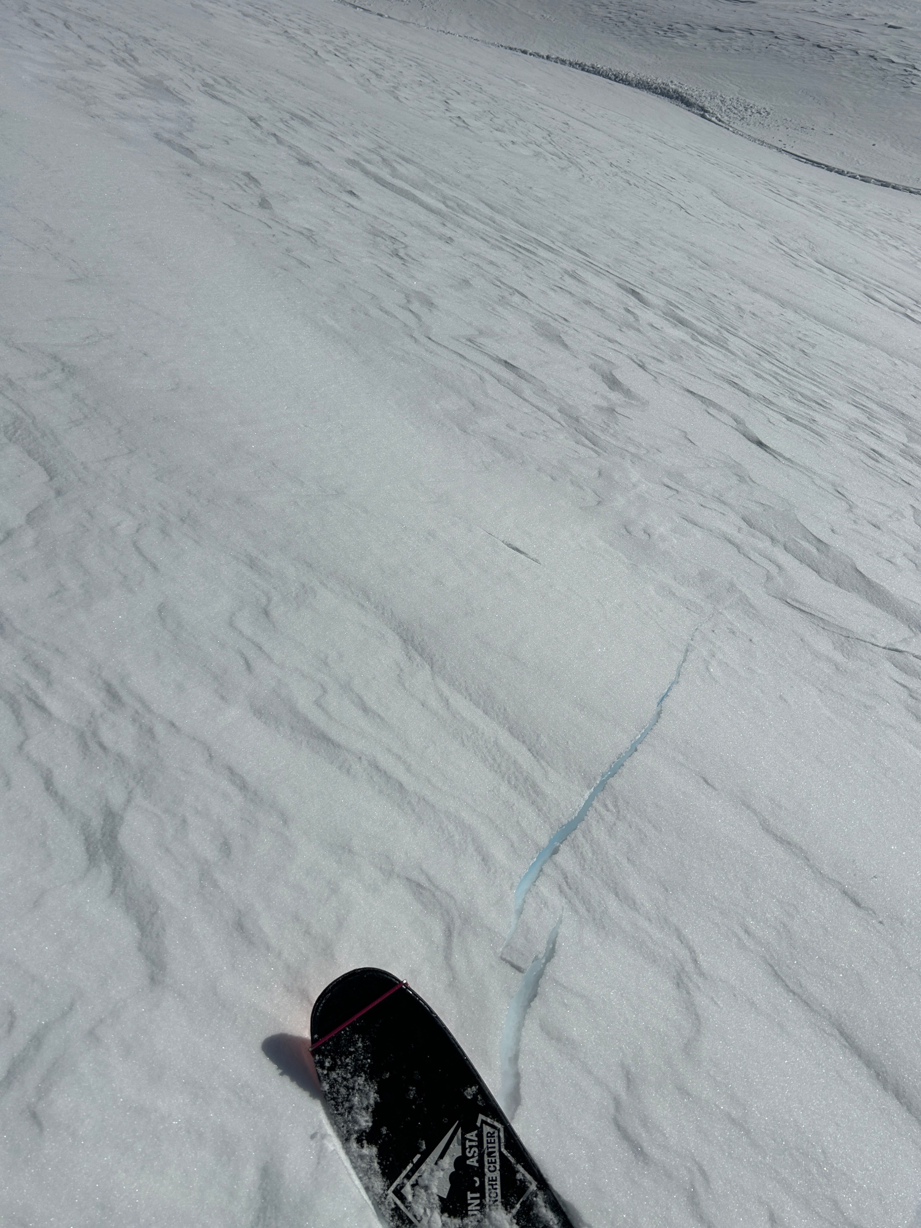
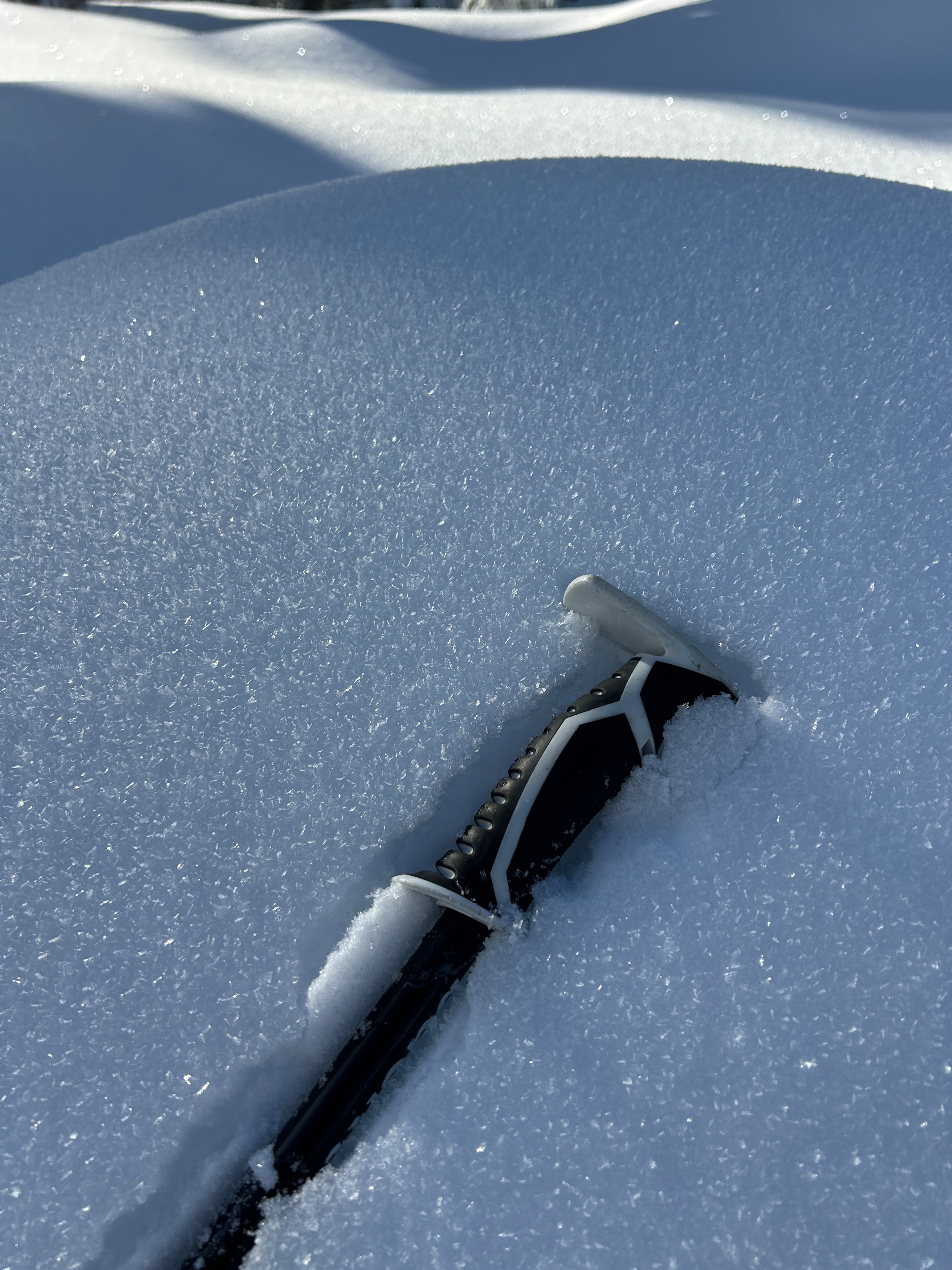
In general, the snowpack has settled out nicely. Apart from blowing snow from northerly winds aloft and recent avalanche activity, no red flags were observed. All terrain above treeline holds some degree of wind effect and surface slab. The higher in elevation, the harder and more variable these slabs become. Westerly aspects held slabs 5-10 inches deep, with a 1-finger hardness. Depths and hardnesses range depending on aspect and elevation.
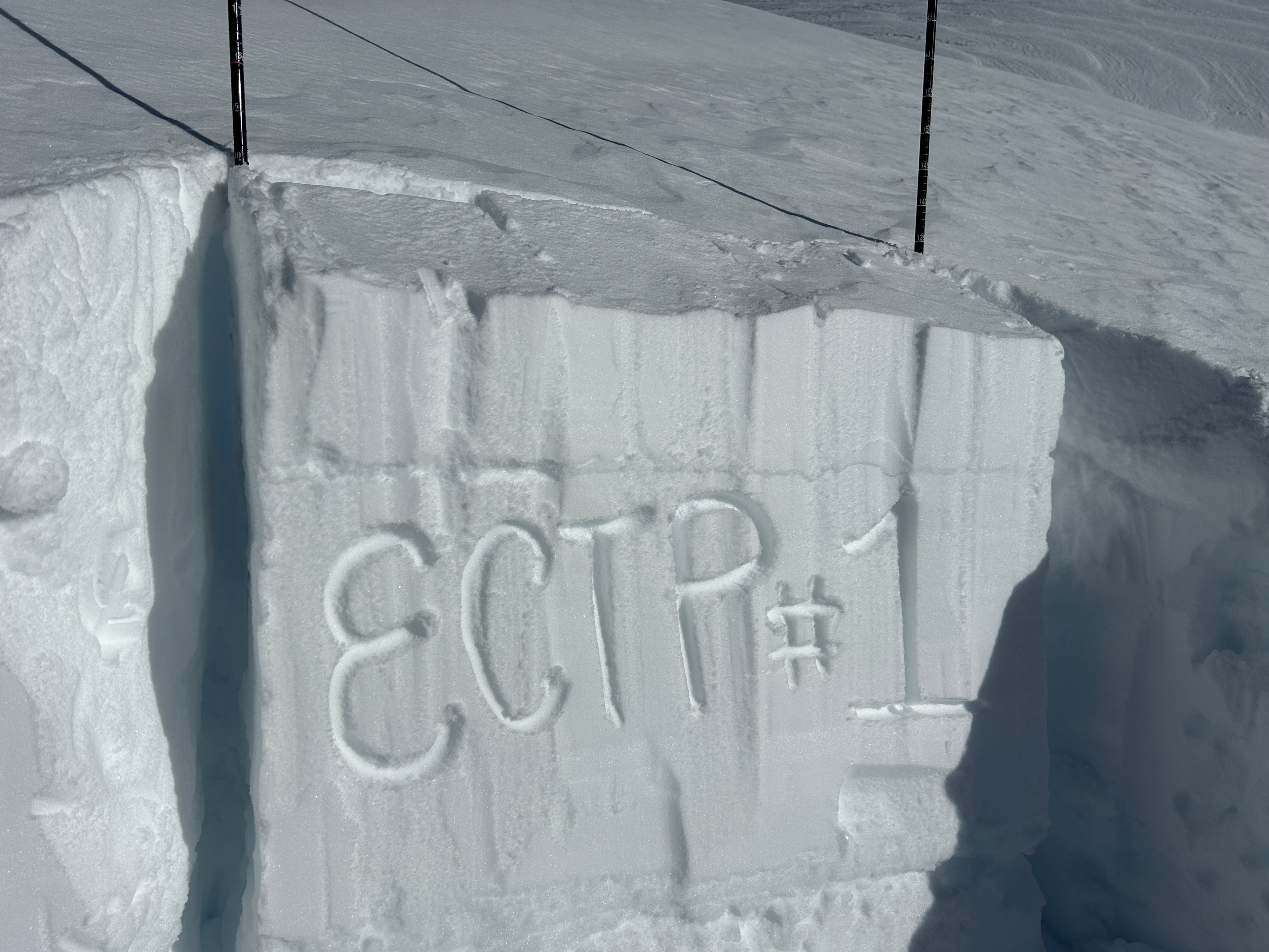
The highest potential for avalanche danger exists on slopes greater than 35 degrees in complex terrain, where previous or recent wind-deposited snow exists. An ECT resulted in propagation on tap 1 multiple times, indicating that reactivity is present.
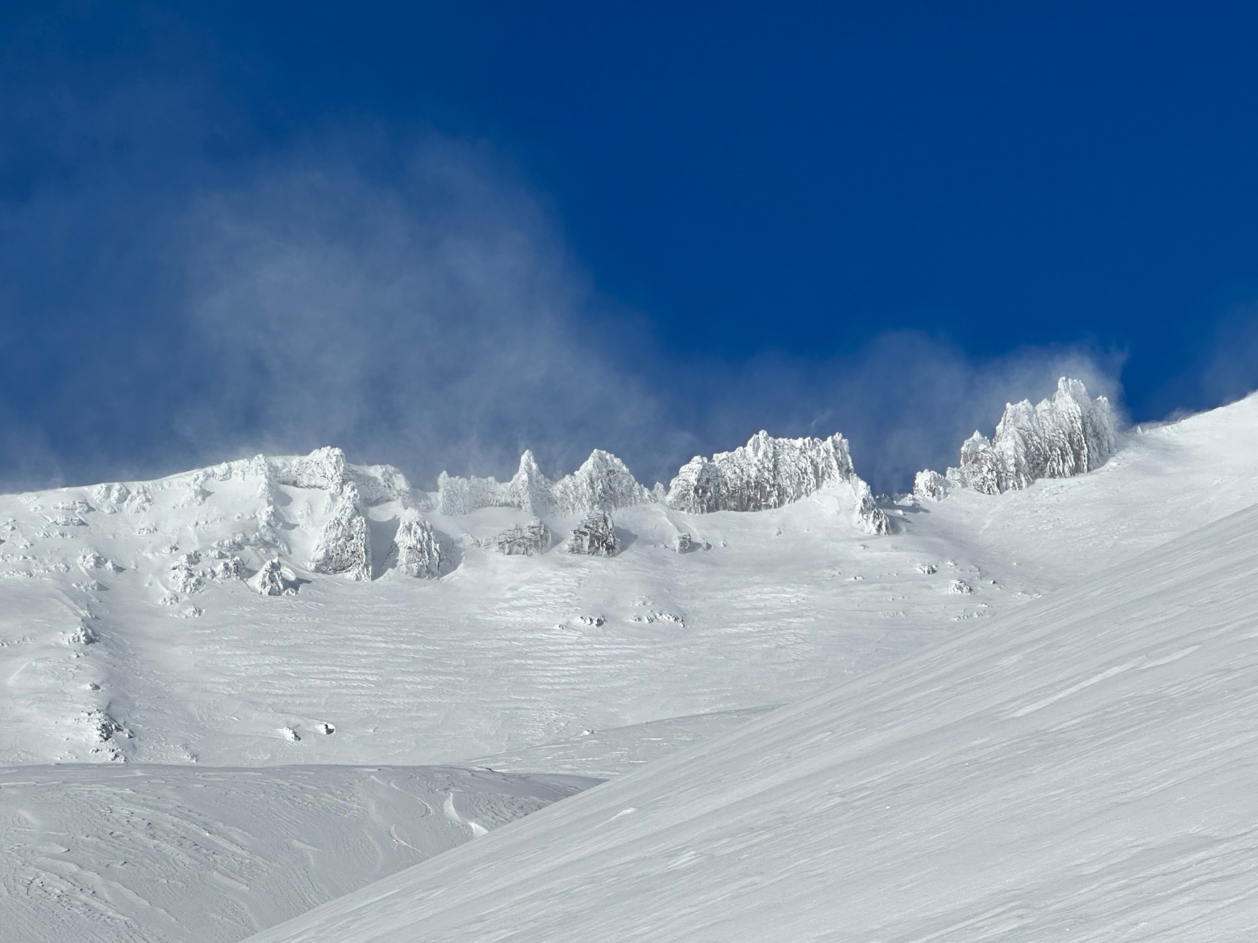
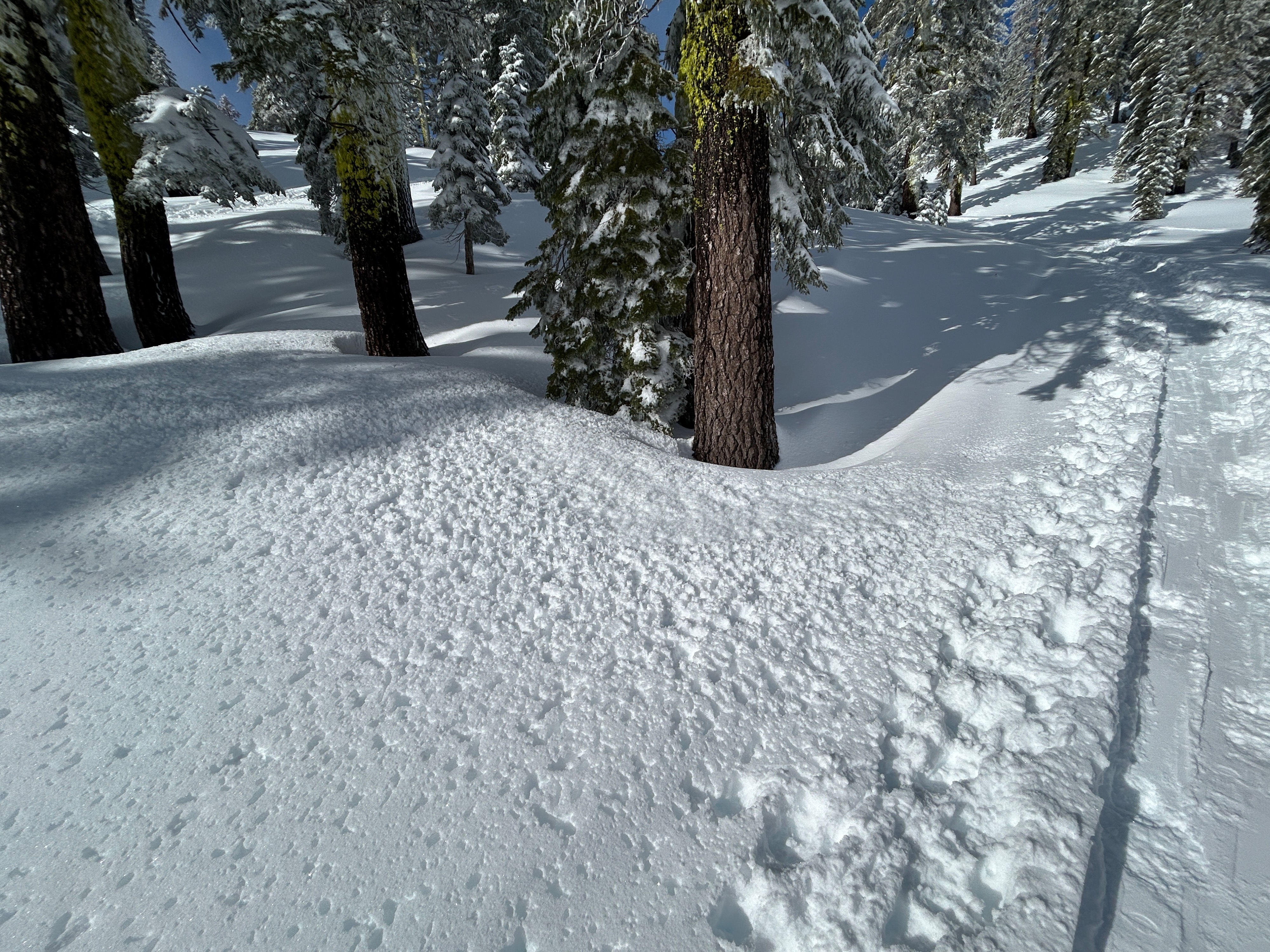
Shady areas near and below treeline held pristine snow quality, with sun-exposed areas developing dampening snow. A surface crust will likely form over the next 24 hours on many southerly aspects. Turbulent suspended snow was witnessed in the alpine over prominent ridgelines for much of the day.
-Recent avalanche cycle that involved the storm snow over December 24th -Blowing snow off Casaval Ridge, Sargents Ridge, and Green Butte RidgeWeather
- Air Temp
- 27
- Cloud Cover
- few
- Wind Loading
- moderate
- Recent Snowfall
- 0
- Snow Avail For Transport
- large amounts
Crystal clear blue skies, below-freezing temperatures, and moderate to strong northerly winds.
Snowpack
SNOWPACK:
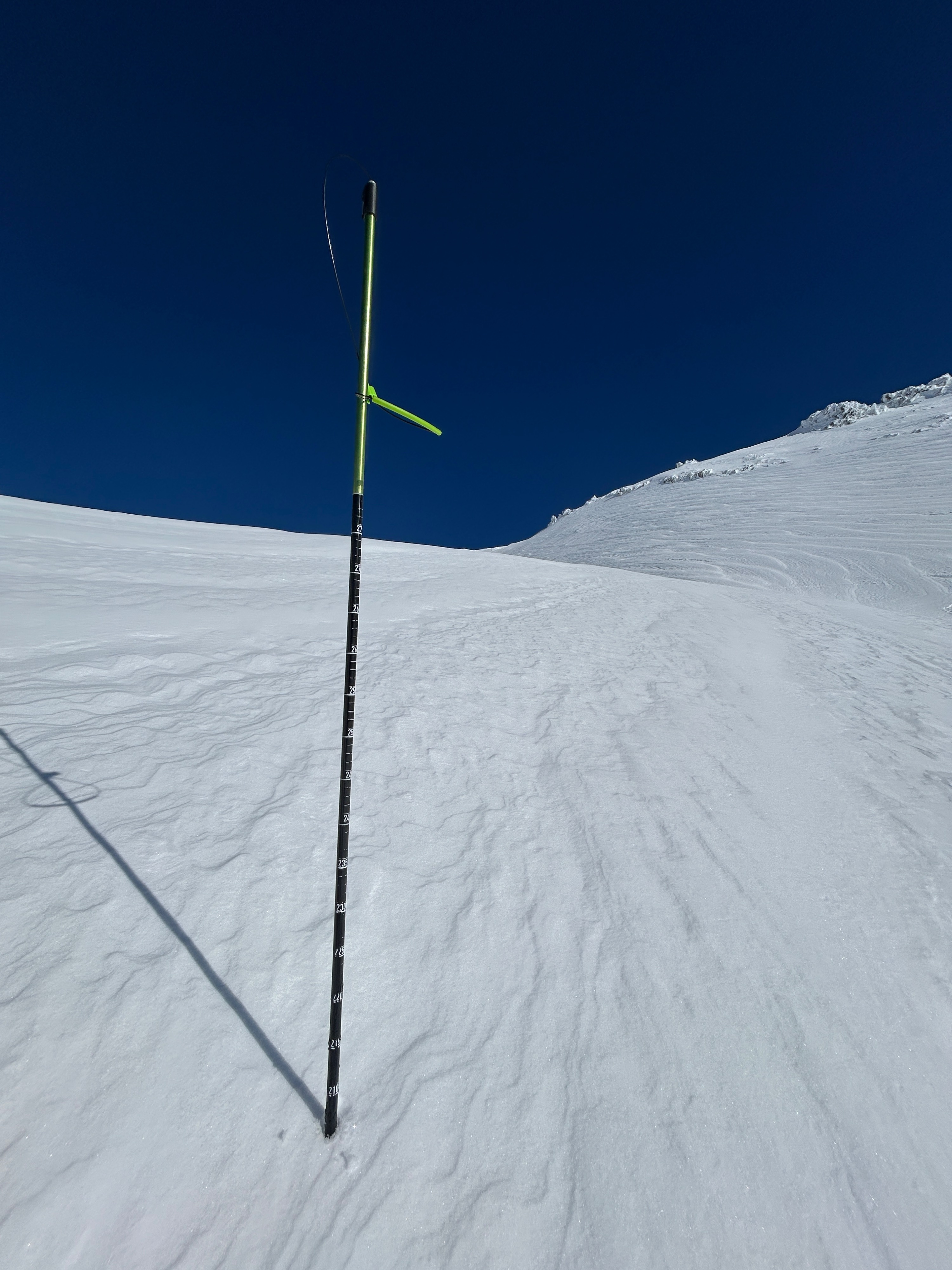
- Total snow depths at 8,800 feet ranged from 63 to 80 inches.
- Above treeline, denser (wind effected) surface snow sits atop softer snow. The overall general structure of the snowpack is primarily right-side-up.
TEST RESULTS:
- ECTP1 - down 5 inches
Avalanche
- Size
- D3 R2
- Aspect
- SW
- Trigger
- N
- Elevation
- 11000 ft
*Updated details and photos after site visit on 12/28: Natural D3 wind slab off of a southwest/west aspect on Green Butte Ridge into Avalanche Gulch. Likely ran on December 26th, during peak instability. Most likely triggered by a smaller, D2 wind slab higher on the slope. Estimated to have failed on a weak layer/density change within the new snow, and may have stepped down to another weak layer in the snowpack. The crown is in an almost identical location as the 2024 Presidents' Day avalanche, although that slide ran much farther down Avalanche Gulch to below treeline. Crown is several feet deep in places and an estimated ~1,000 feet wide.