
Quick report
- Cracking
- specific
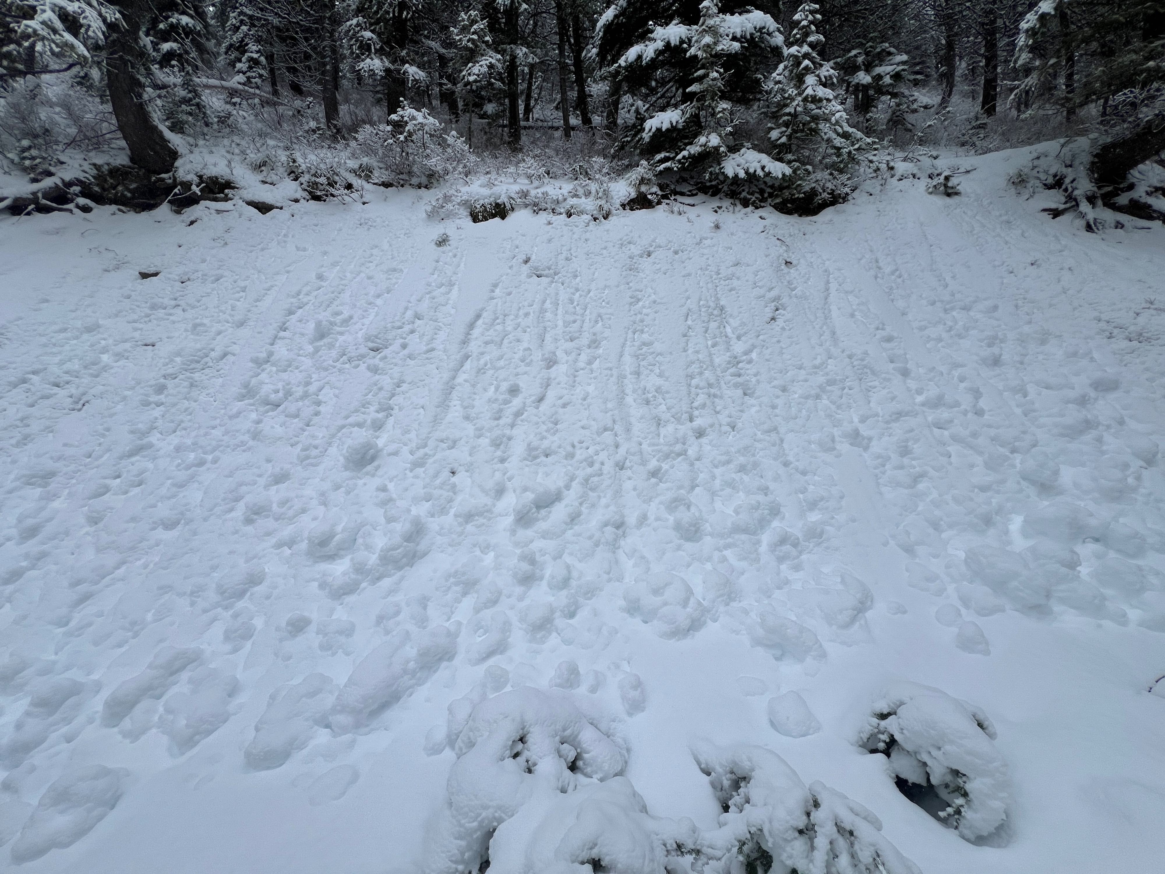
Lower elevations are still hurting for snow. There was just enough coverage to tour up, but not enough to ski down below treeline. The snowpack gets noticeably deeper around 5500'.
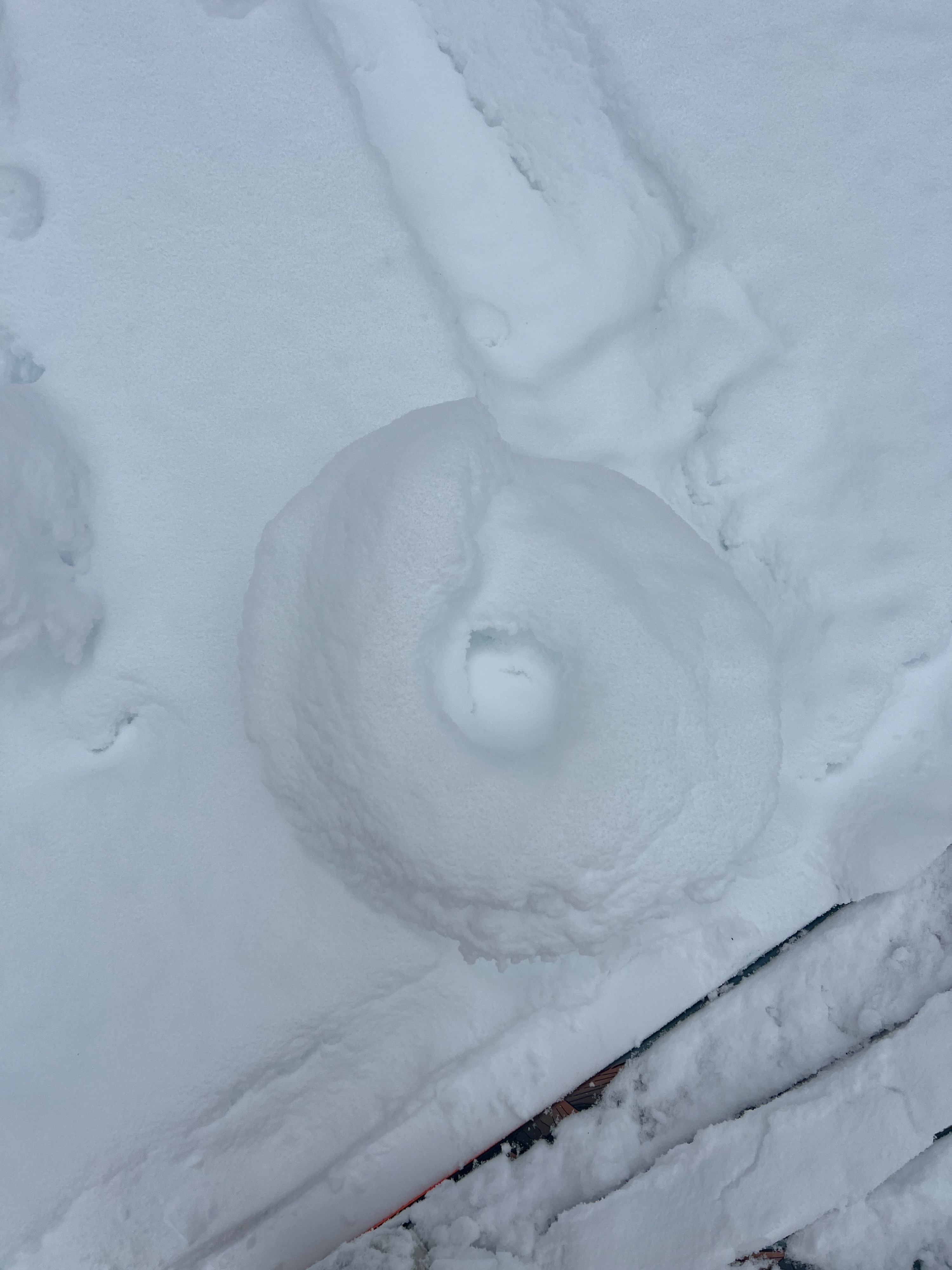
Throughout the tour, cracks would appear around my skis on the skin track. I did not observe any shooting cracks.Weather
- Cloud Cover
- overcast
- Wind Loading
- moderate
- Rain Elevation
- 5300
- Recent Snowfall
- 27
- Snow Avail For Transport
- moderate amounts
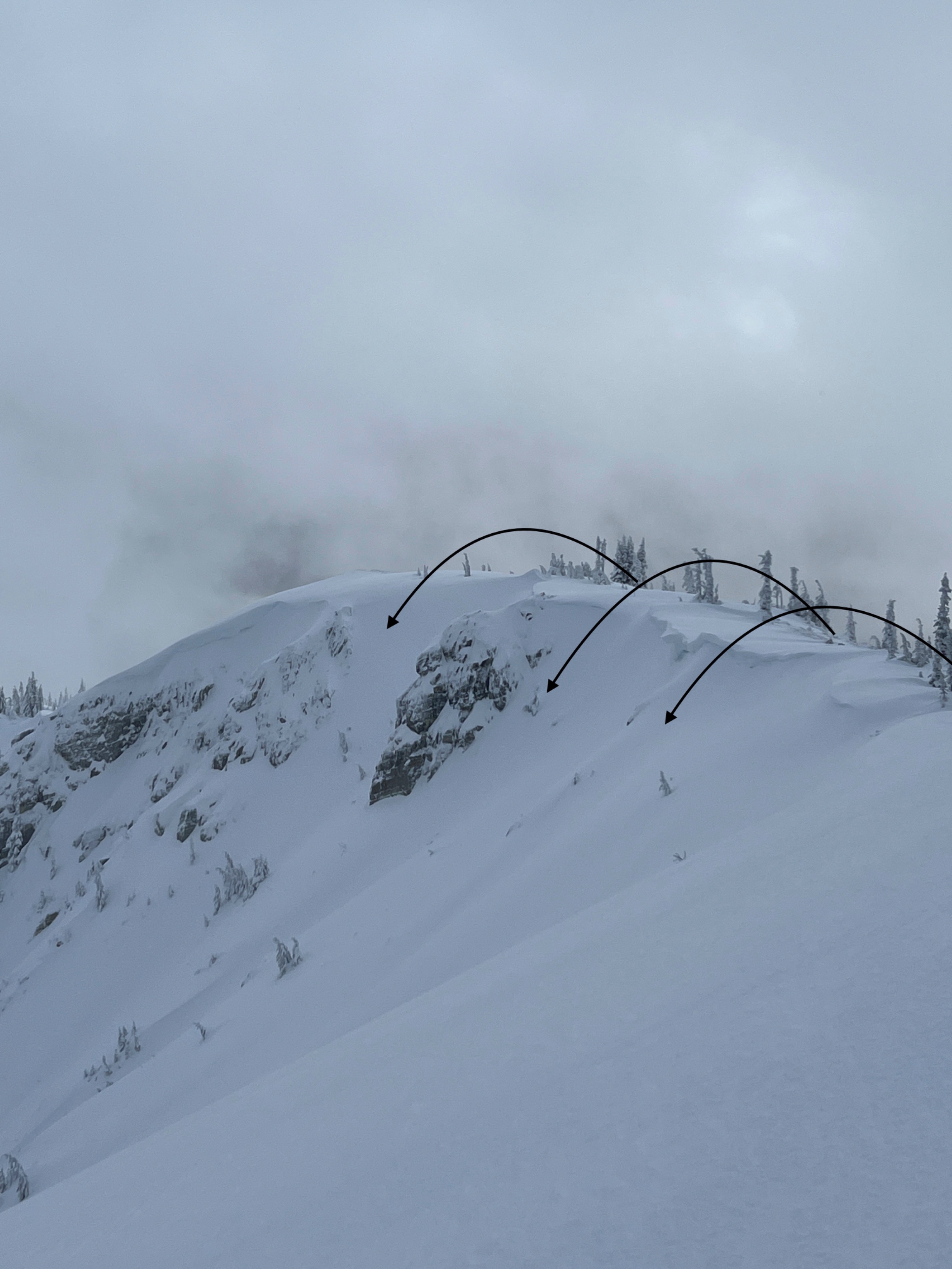
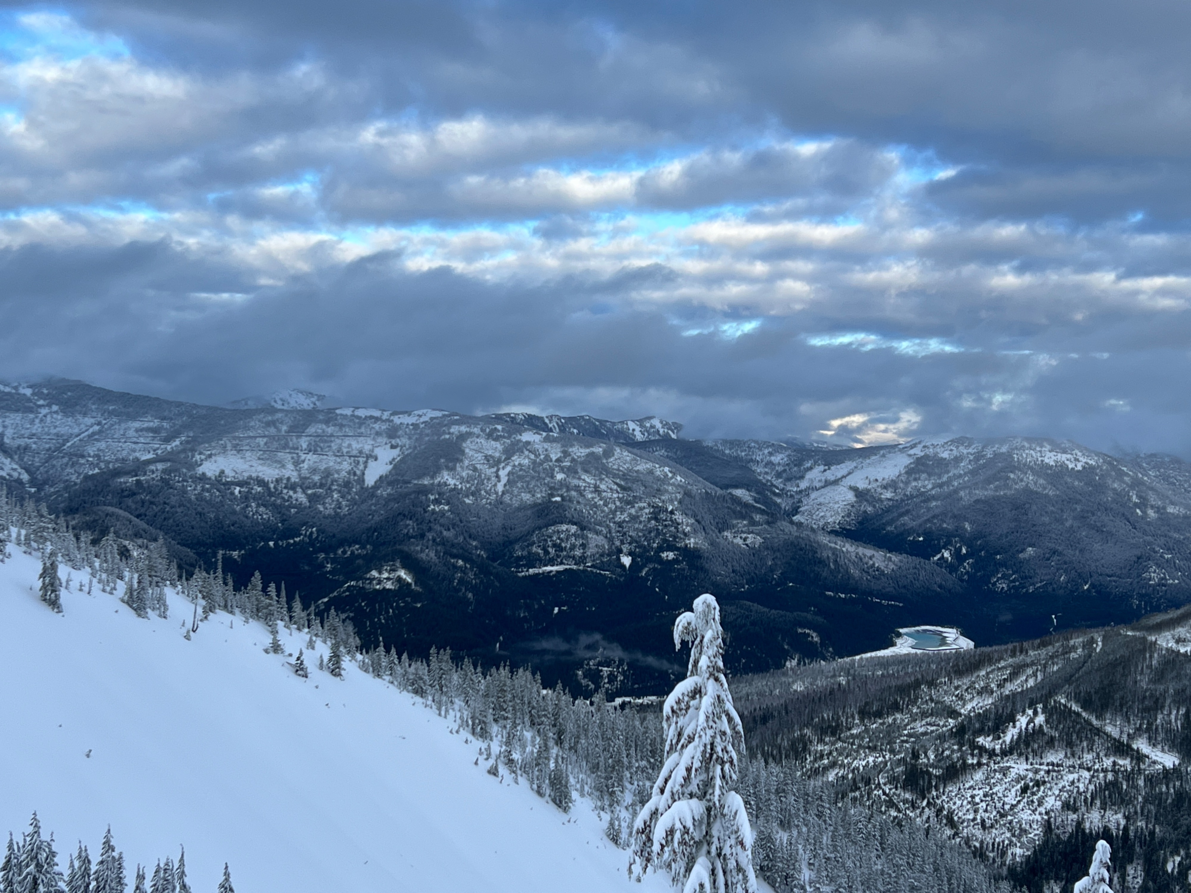
The tour started under overcast sky cover with S-1 snowfall. Light winds blew from the west, with few and sporadic moderate gusts at the ridge top. Just after 1:30 pm, the snowfall switched to graupel and then stopped. From there, the sky cover lessened to broken, with periods of blue sky poking through.
Snowpack
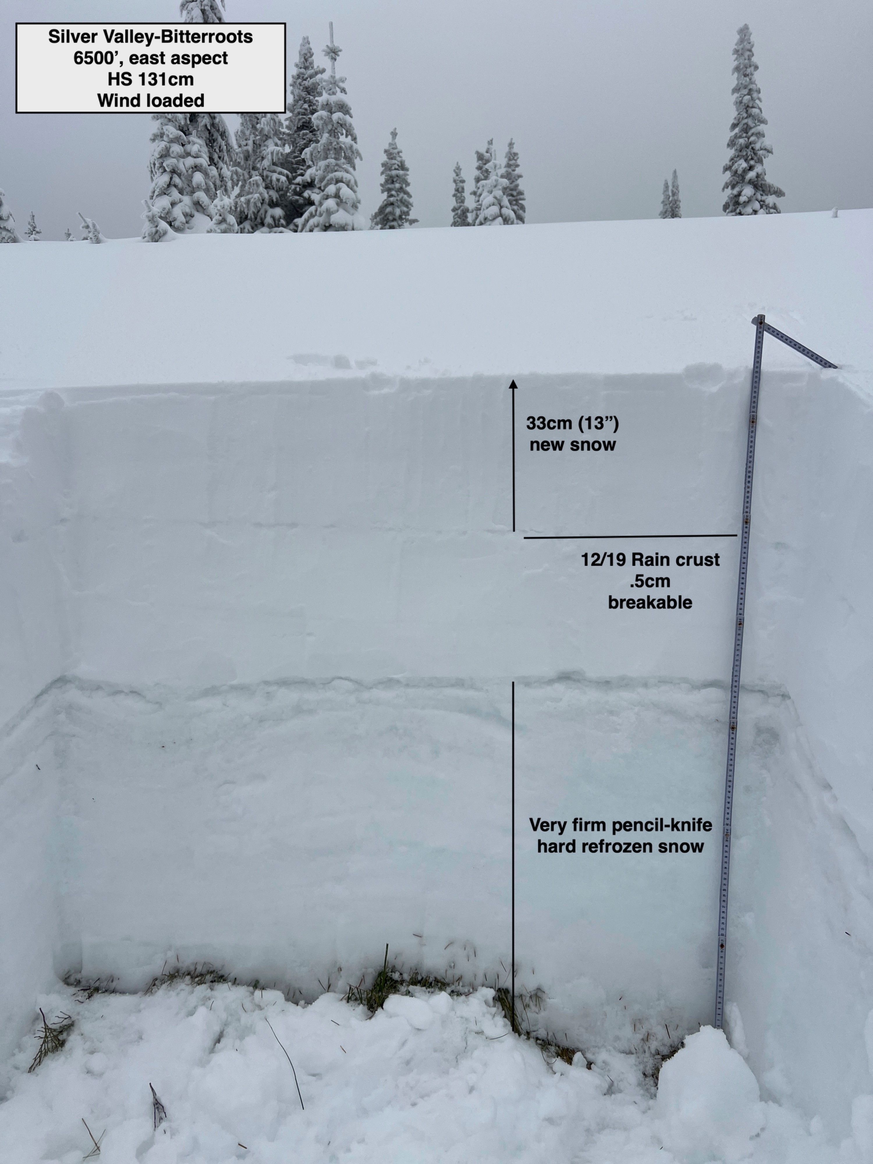
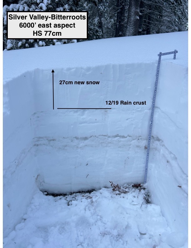
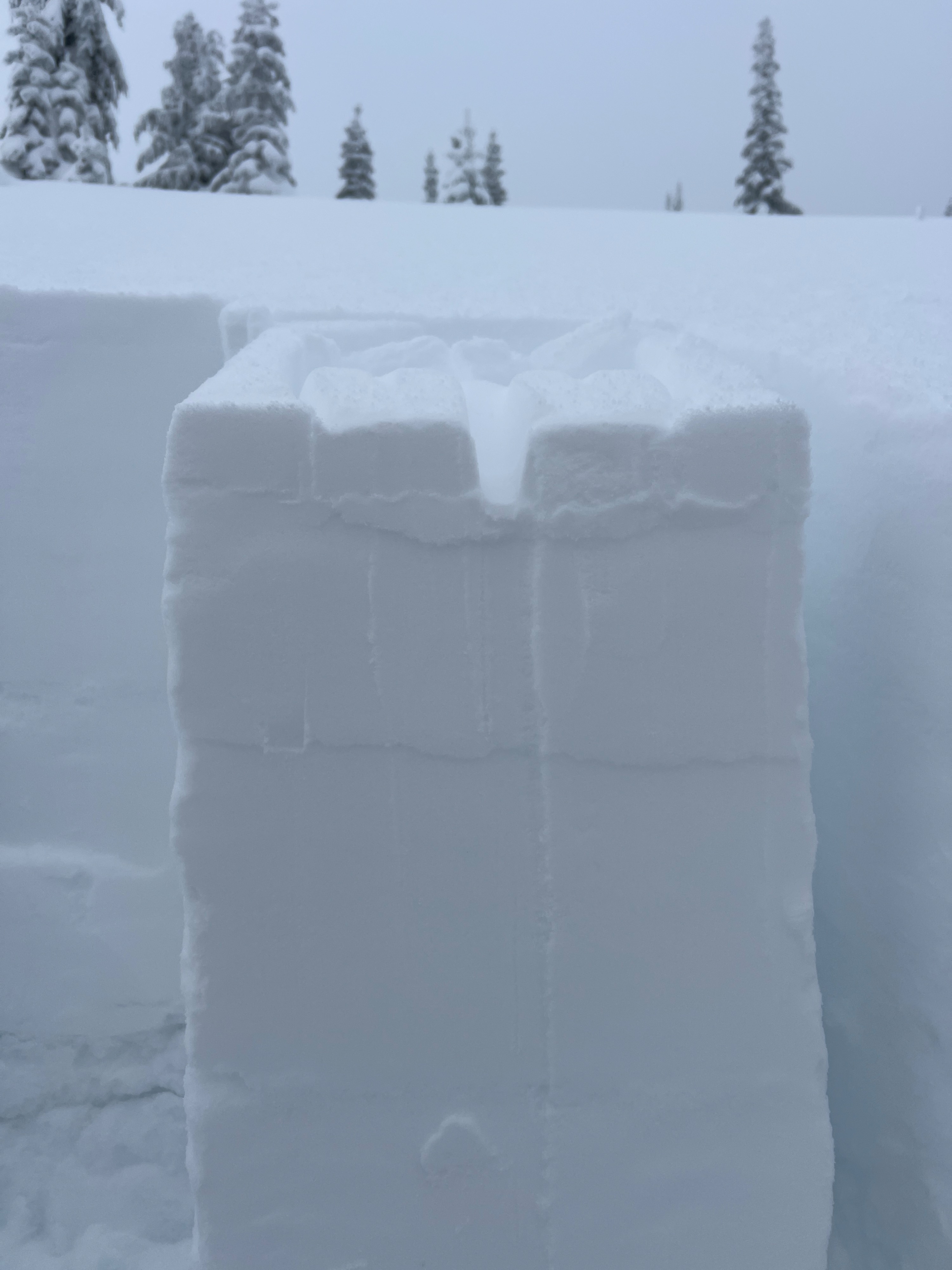
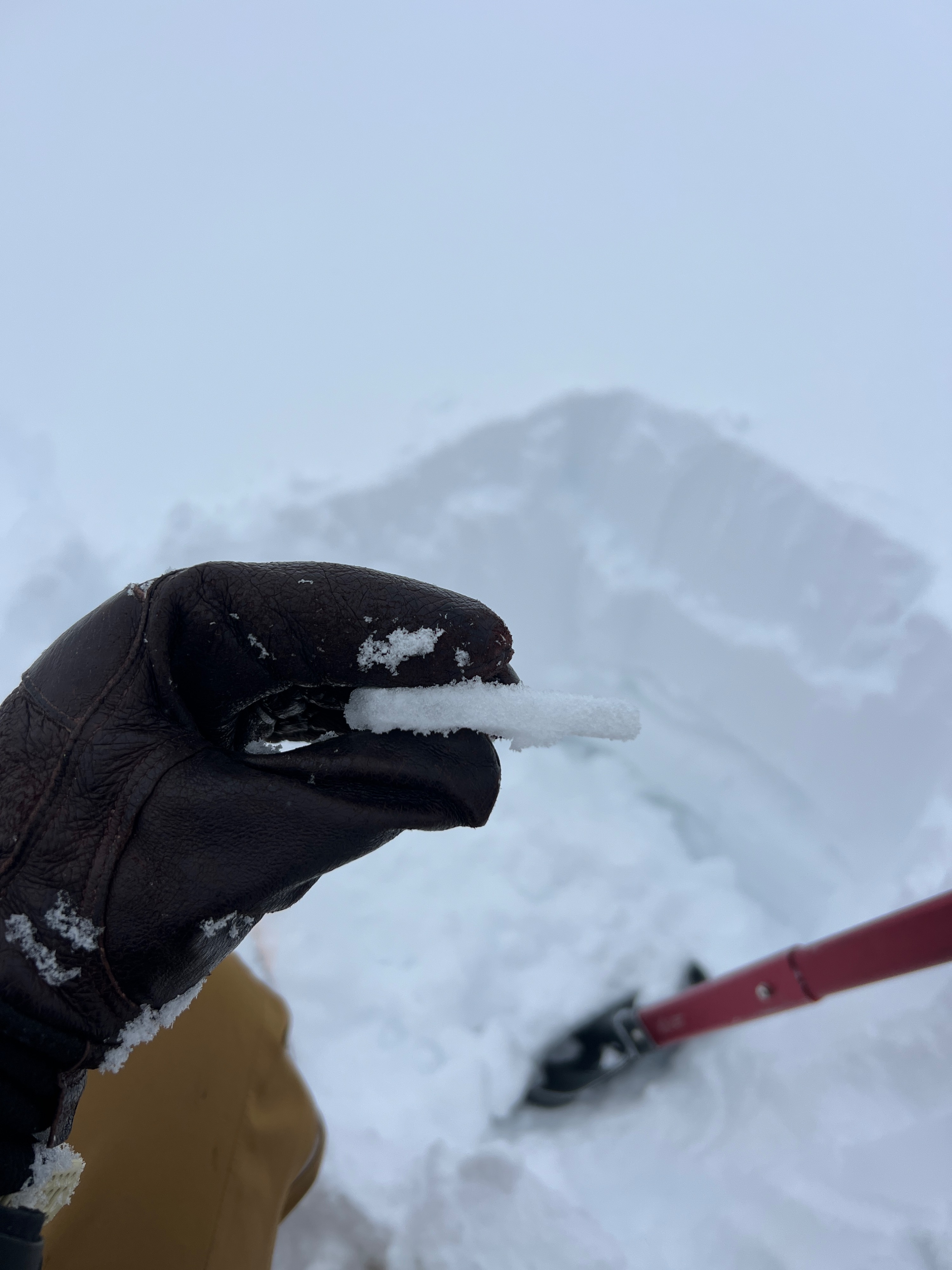
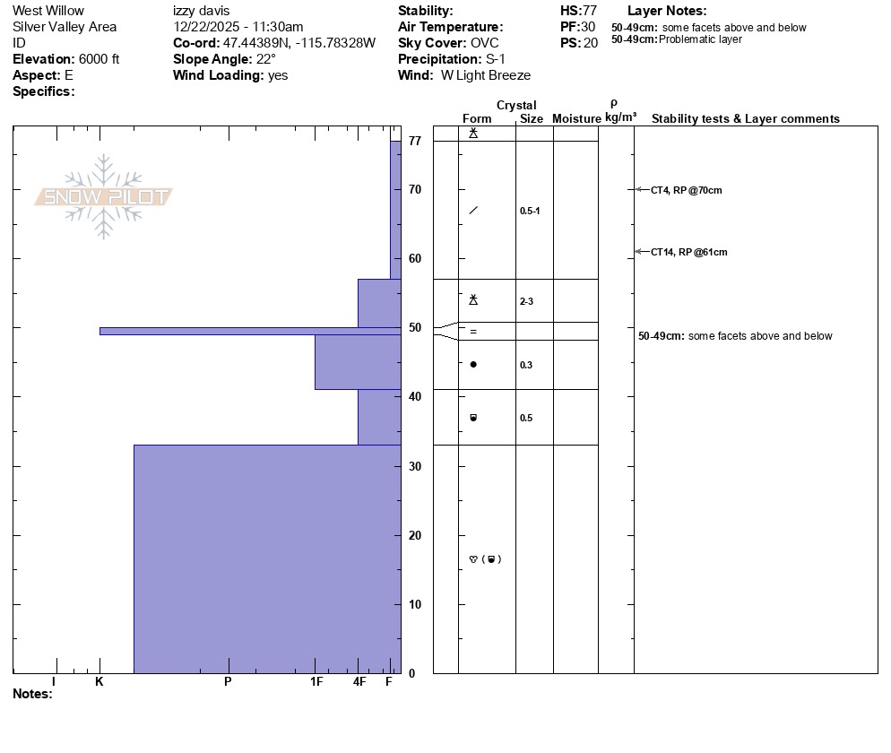
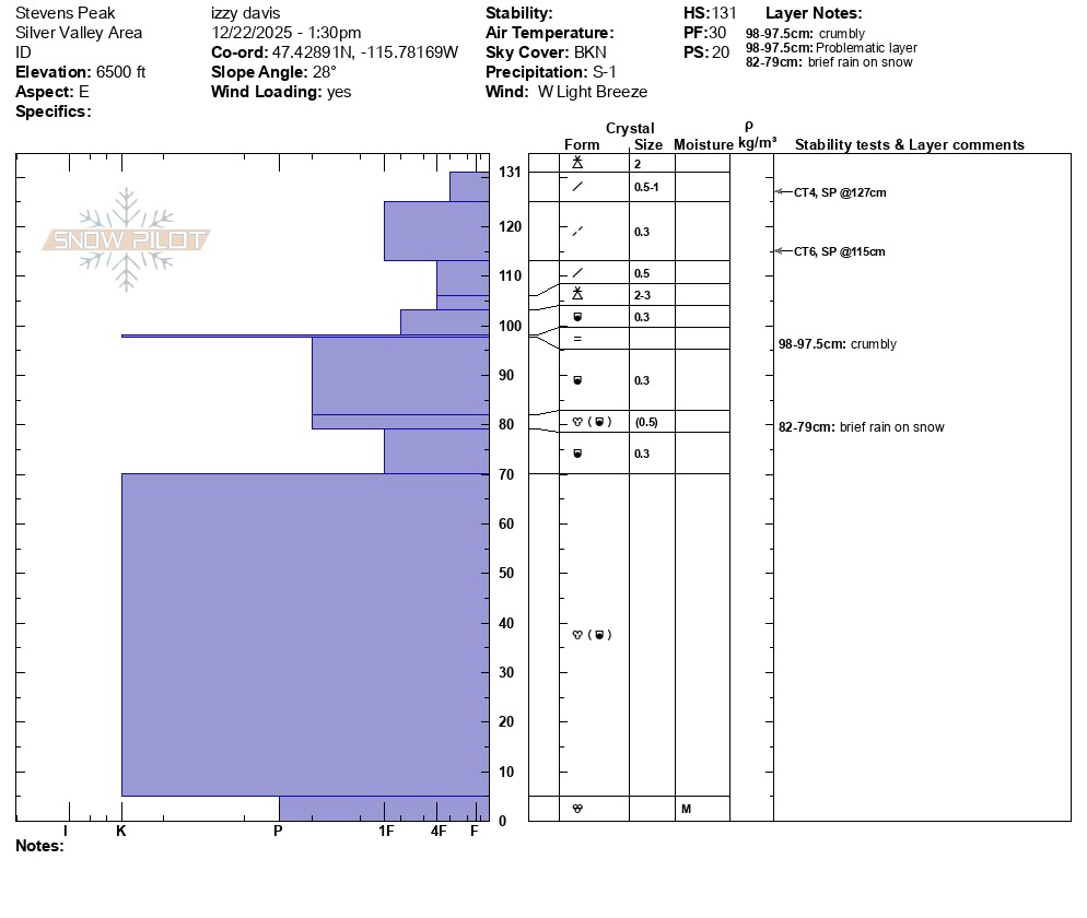
Today, I was targeting my fieldwork around identifying how high the 12/19 rain event reached. At 6000', the rain crust was about 1cm thick and 27cm down from the surface in a previously wind-loaded area. I did not get any failures in my stability test on this specific layer, but I did get 2 resistant planar failures within the upper 20cm with easy to moderate force. Both were at different storm interfaces. Continuing up in elevation, I noticed the rain crust was more crumbly at 6300'. By the time I reached 6500', the rain crust was about .5cm thick with a 7cm layer of graupel above. By this elevation, the crust suggested there had been a brief period of rain before switching to graupel. I could easily crumble the crust in my hand. Small faceting rounds were found both above and below. No failures in stability tests at the rain crust, but again had similar results with 2 sudden planar failures in the upper 20cm with easy to moderate force.
Colder temperatures, a shallow snowpack, and an abnormal amount of rain-on-snow events this season are all contributing to some degree of faceting developing from top to bottom in the snowpack.
A new, very small and breakable surface crust formed all the way up to 5300' in the previous 24 hours. With just a small dusting of snow on top, there was likely a warm period in the storm before temperatures cooled off right at the end and switched back to snow.
Avalanche
None observed