
Quick report
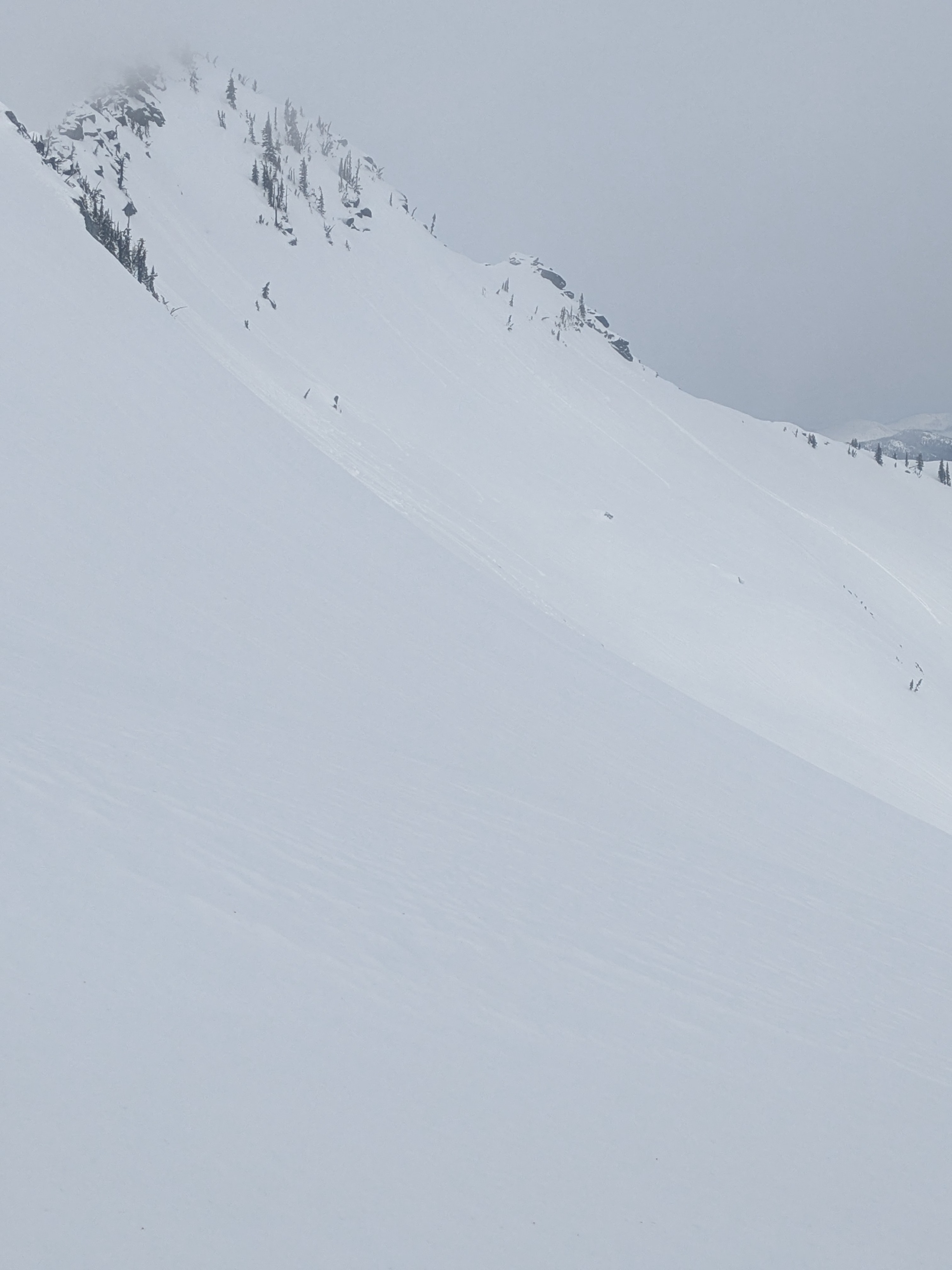
It's hard to believe that around 24 hours prior, soft surface conditions were abound in the mountains. Monday night's rain over mountain tops moistened snow surfaces and left a refrozen egg shell at upper elevations. This rapid warm-up provoked a large, natural avalanche that likely failed in one of the many buried persistent grains that has become stubborn to failure. This avalanche is a good reminder that the snowpack still has looming hazards below that need more time before we right them off, and to continue making mindful and cautious terrain selections.
Weather
- Cloud Cover
- broken
- Wind Loading
- none
- Rain Elevation
- 7500
- Snow Avail For Transport
- small smounts
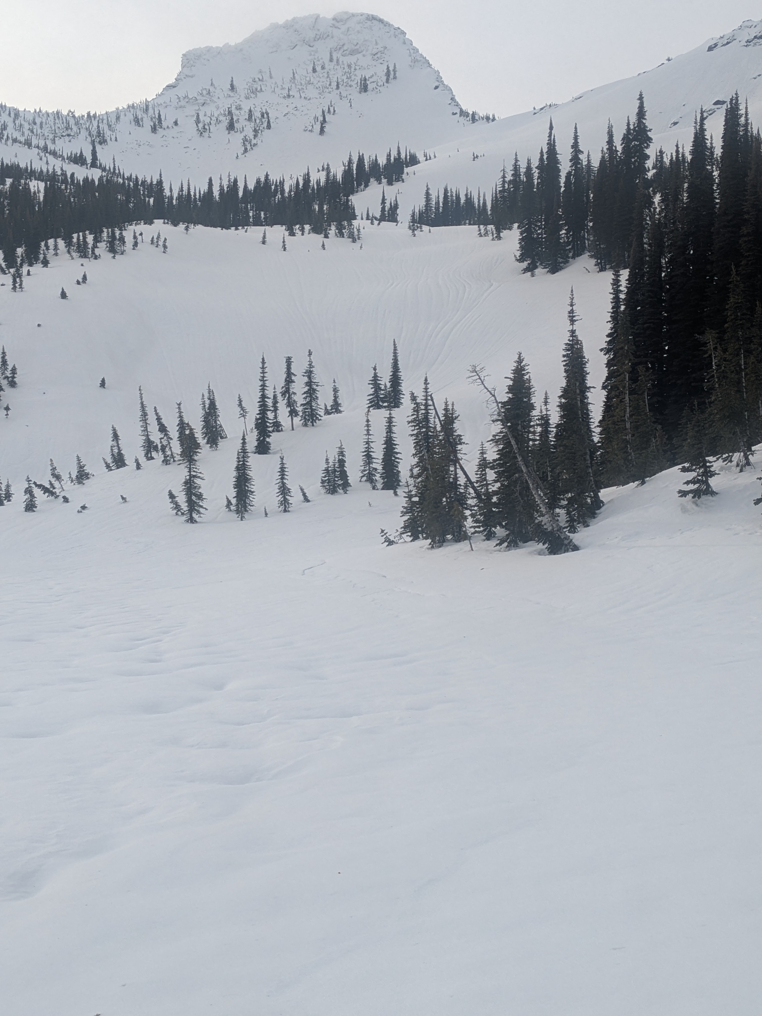
Very spring-like day in January. Light winds and moderate gusts along upper elevation ridges.
Snowpack
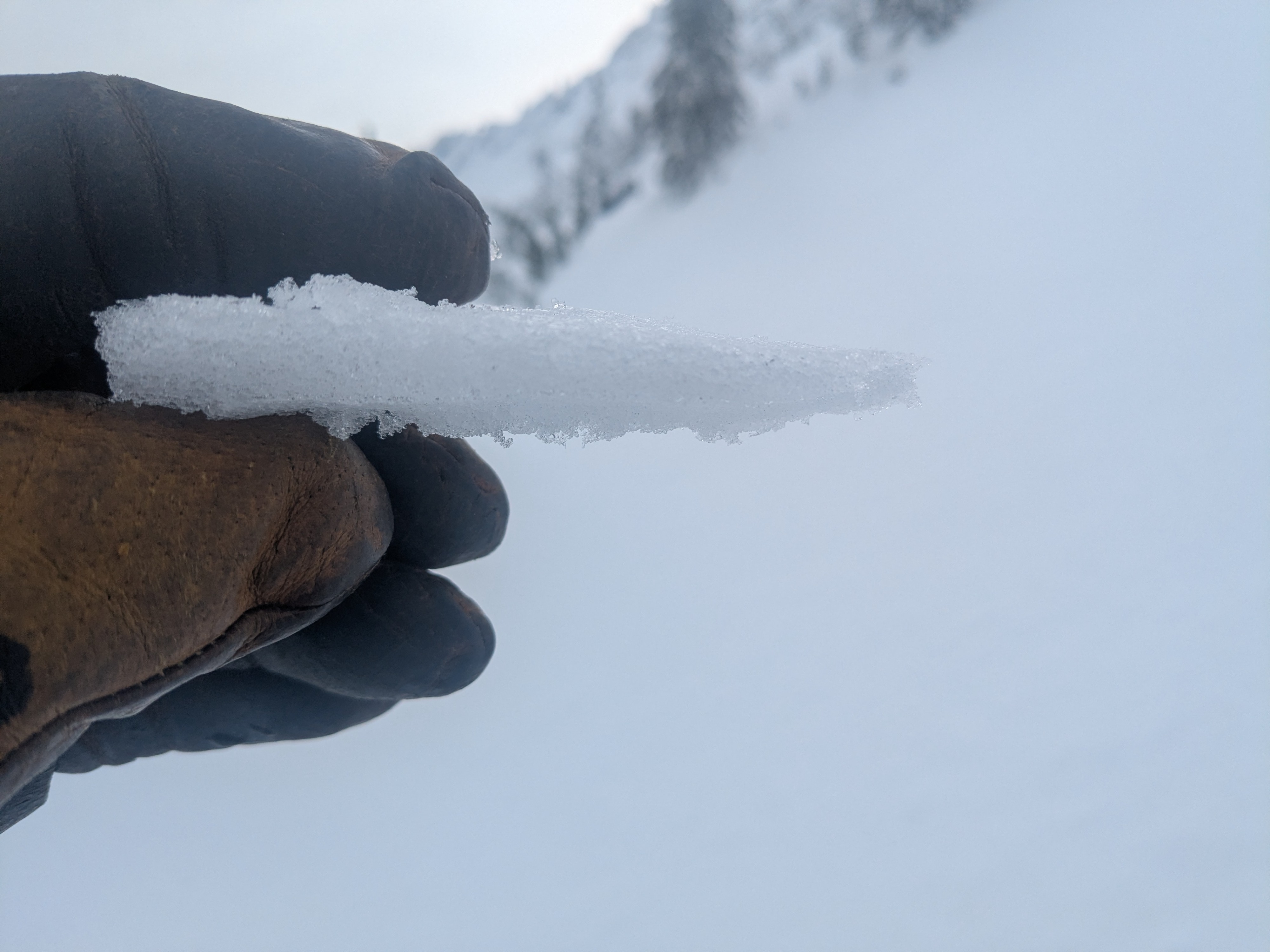
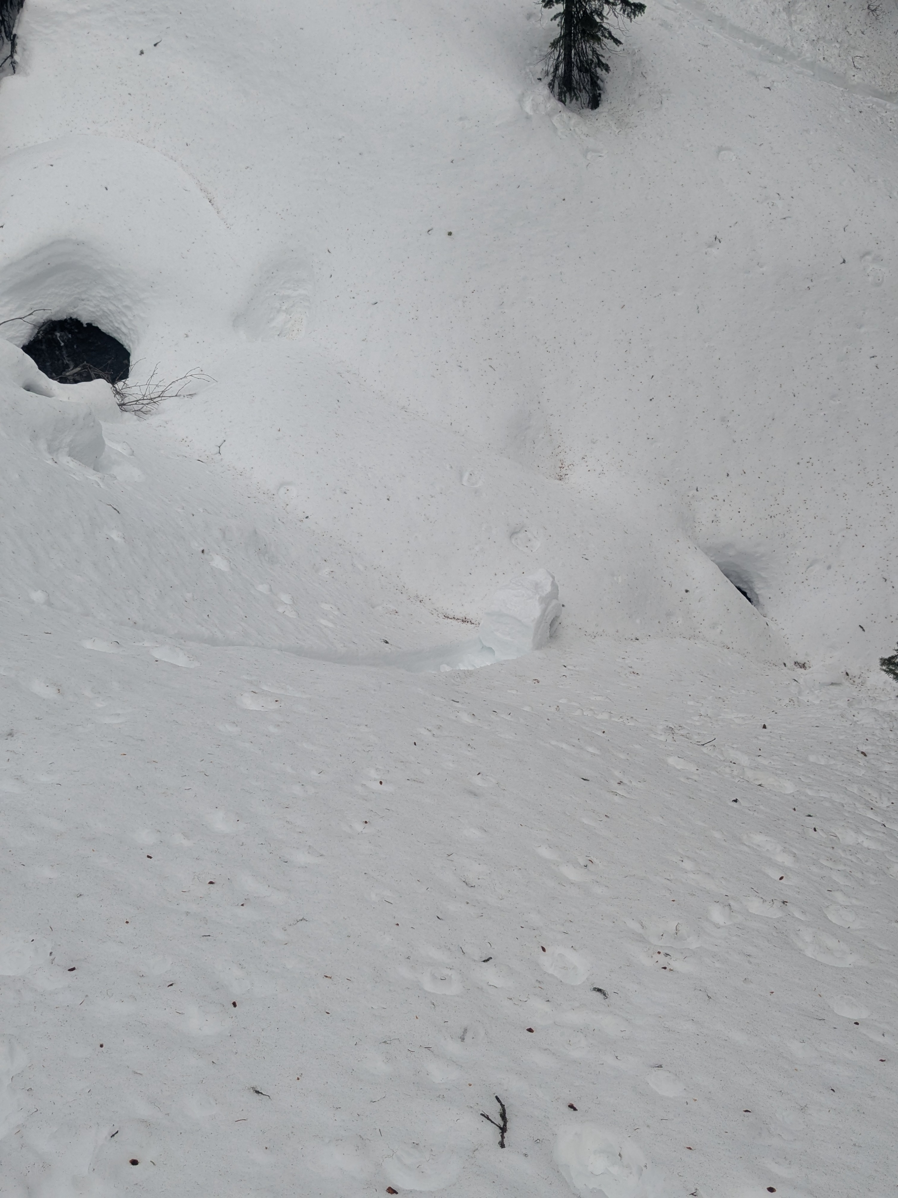
Monday night's rain moistened the snow surface across all elevation bands. Surface wetting was more pronounced below 6,000 feet and the snowpack turned punchy in the afternoon. Surface wetting was around 3 to 5 cm deep at middle elevations, 1 to 2 cm deep with an egg shell refreeze above 7000 feet, but dry snow lingered below the moist layer. Above 7,000 feet, there was an approx. 10 cm 1F drifted layer below the moist surface and above softer snow. Probing across upper elevaiton slopes, the top 2+ feet felt mostly right side up with only subtle weaker snow layers. The rain and above freezing temperatures instigated lots of rollerballs and pinwheels but none progressed to a wet snow slide. This threat could linger or potentially grow in scale if temperatures remain mild and the sun makes an appearance.
Avalanche
- Size
- D2
- Type
- SS
- Aspect
- NE
- Trigger
- N
- Elevation
- 6350 ft