
Quick report
- Cracking
- specific
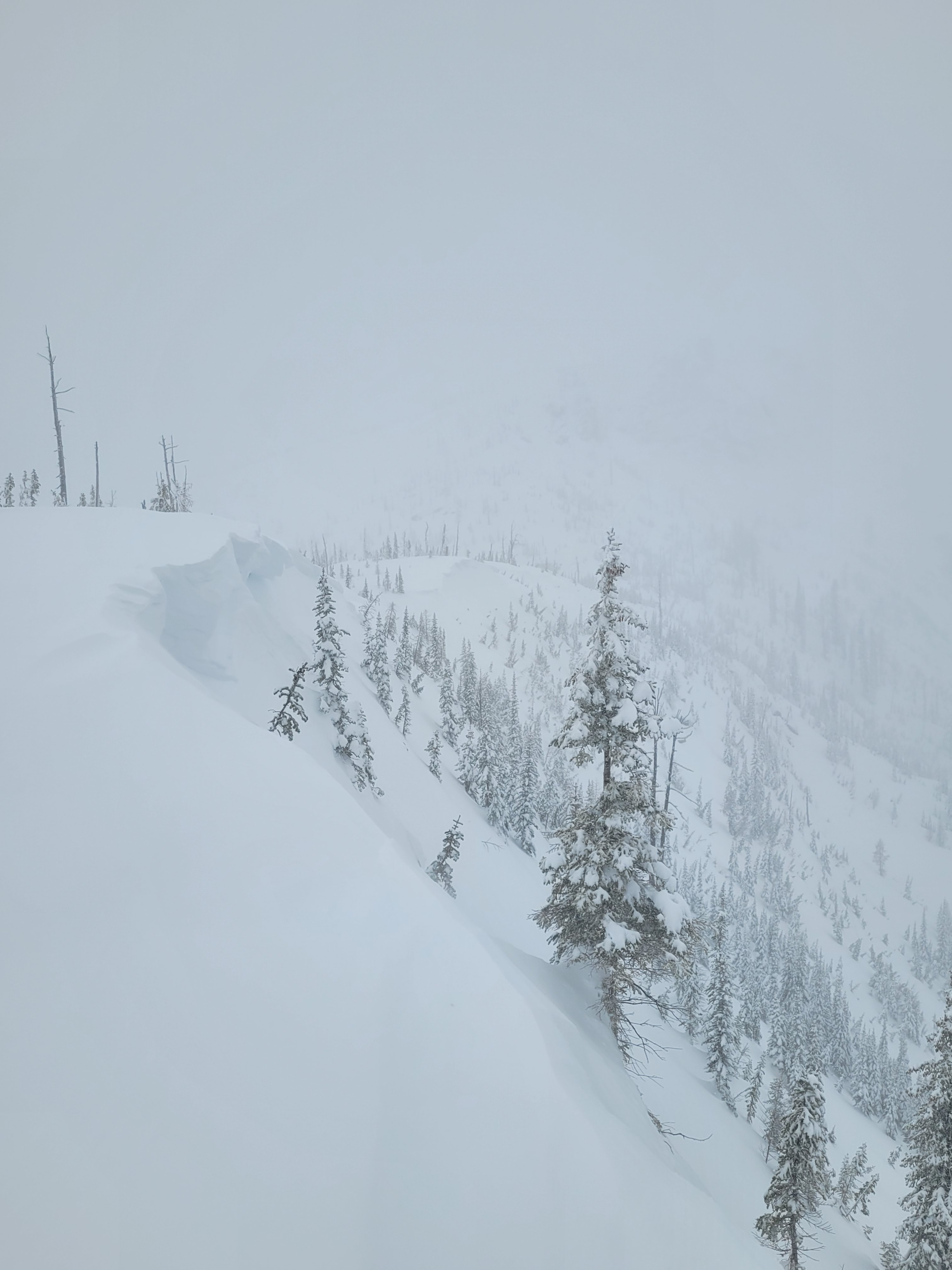
This first week of 2026 arrived with notable new snowfall amounts and prolonged periods of moderate to strong winds. The Roman Nose snowpack camera plot has gained 2 feet in snow height since the turn of the new year, with a little over 7 feet current total snowpack height. This 2 feet includes snow settlement, so storm snow totals over the last week are notably higher - 3 to 4 feet that has settled and consolidated down to 2 feet. Winds have easily and effectively been transporting snow onto leeward slopes enhancing slab depth over weaker storm interfaces, weak grains surronding shallow rain crusts, and buried surface hoar.
This winter season has had persistent low snow coverage until now. While the current storm system is ending, snowpack instabilities could continue to be sensitive. Adopt a conservative mindset in stepping back and remain patient staying in lower angle simple terrain while instabilities remain.
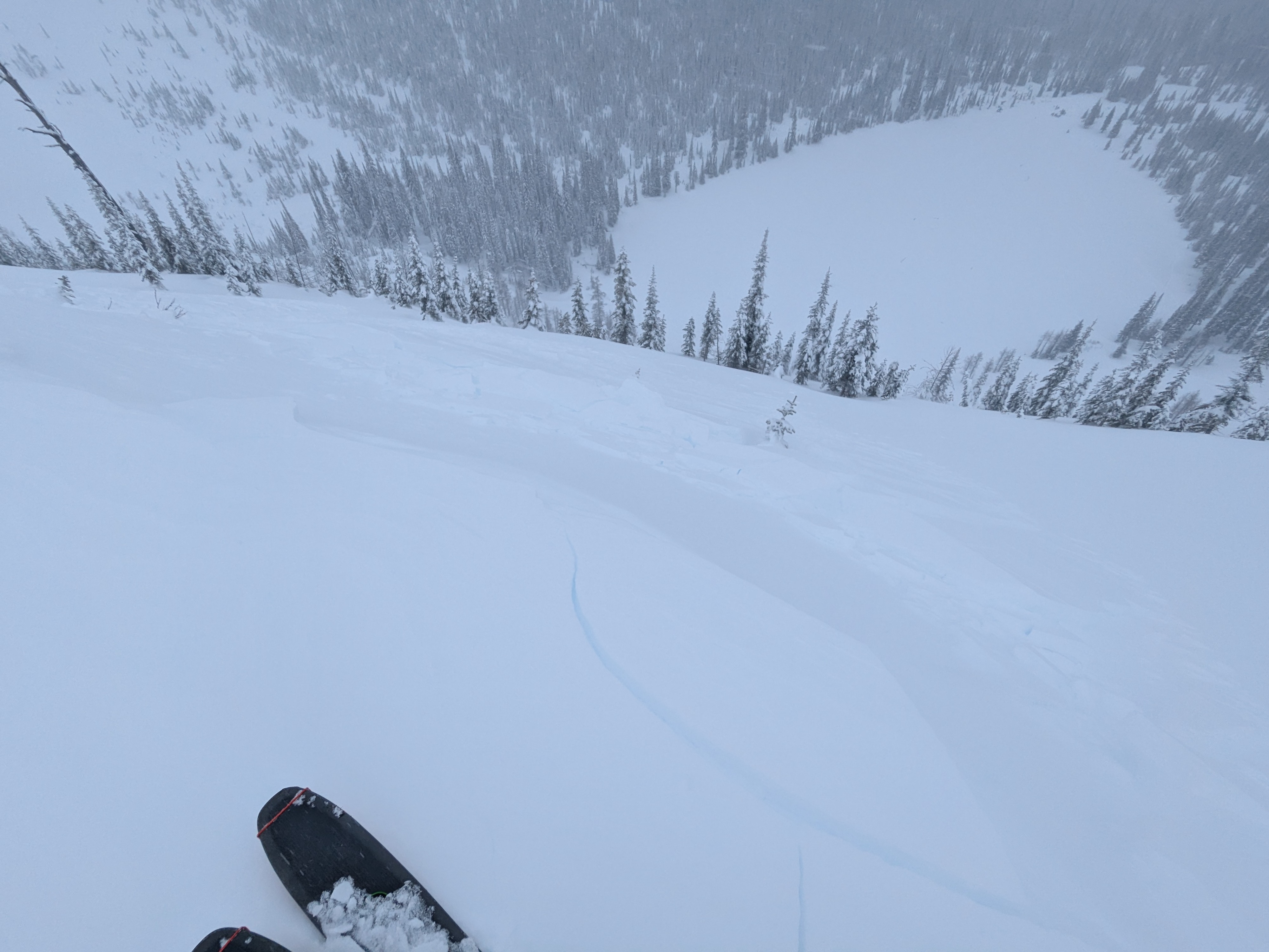
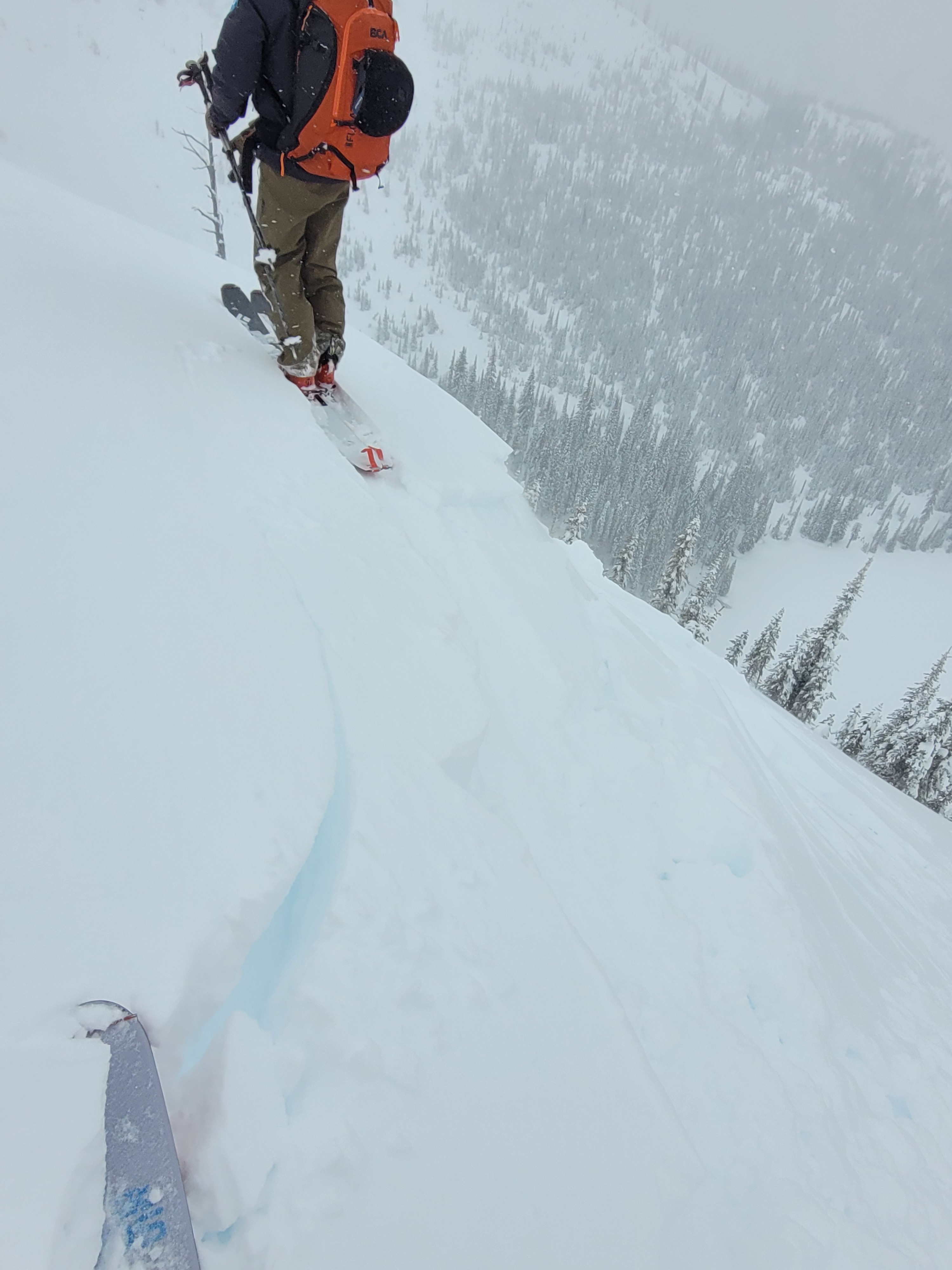
Drifted pockets along ridgelines were touchy to ski pressure and broke at our feet.Weather
- Cloud Cover
- broken
- Wind Loading
- moderate
- Snow Avail For Transport
- moderate amounts
Light intermittent snowfall throughout the day with mid day snow totals of about a half inch (1cm). Gusty ridgetop winds, out of the West then North, was activity transporting recent storm snow. Intermittent visibility allowed views of nearby slopes.
Snowpack
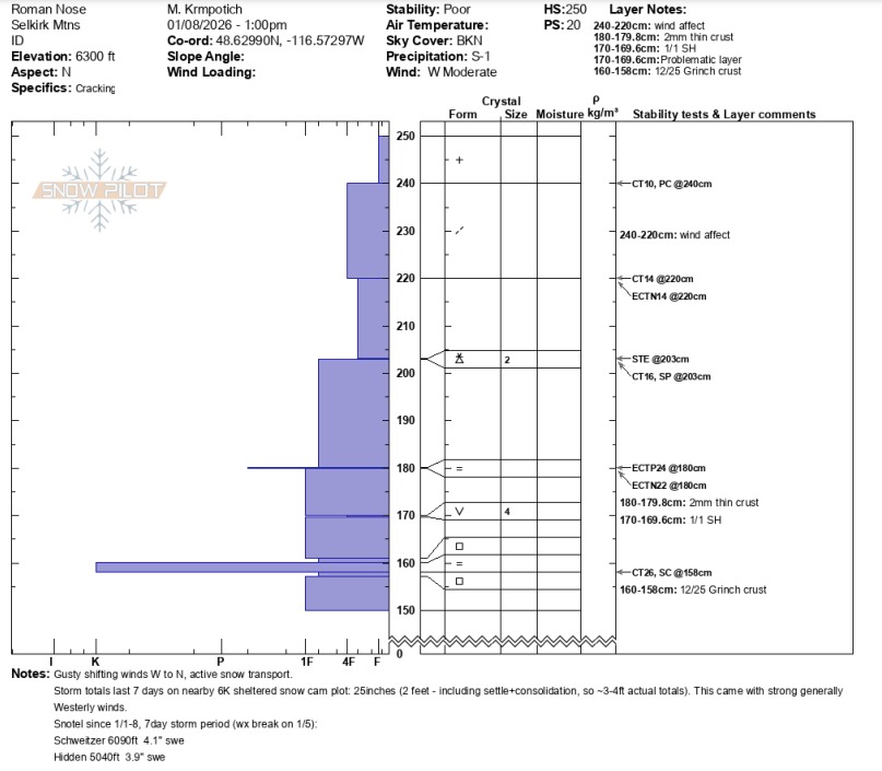
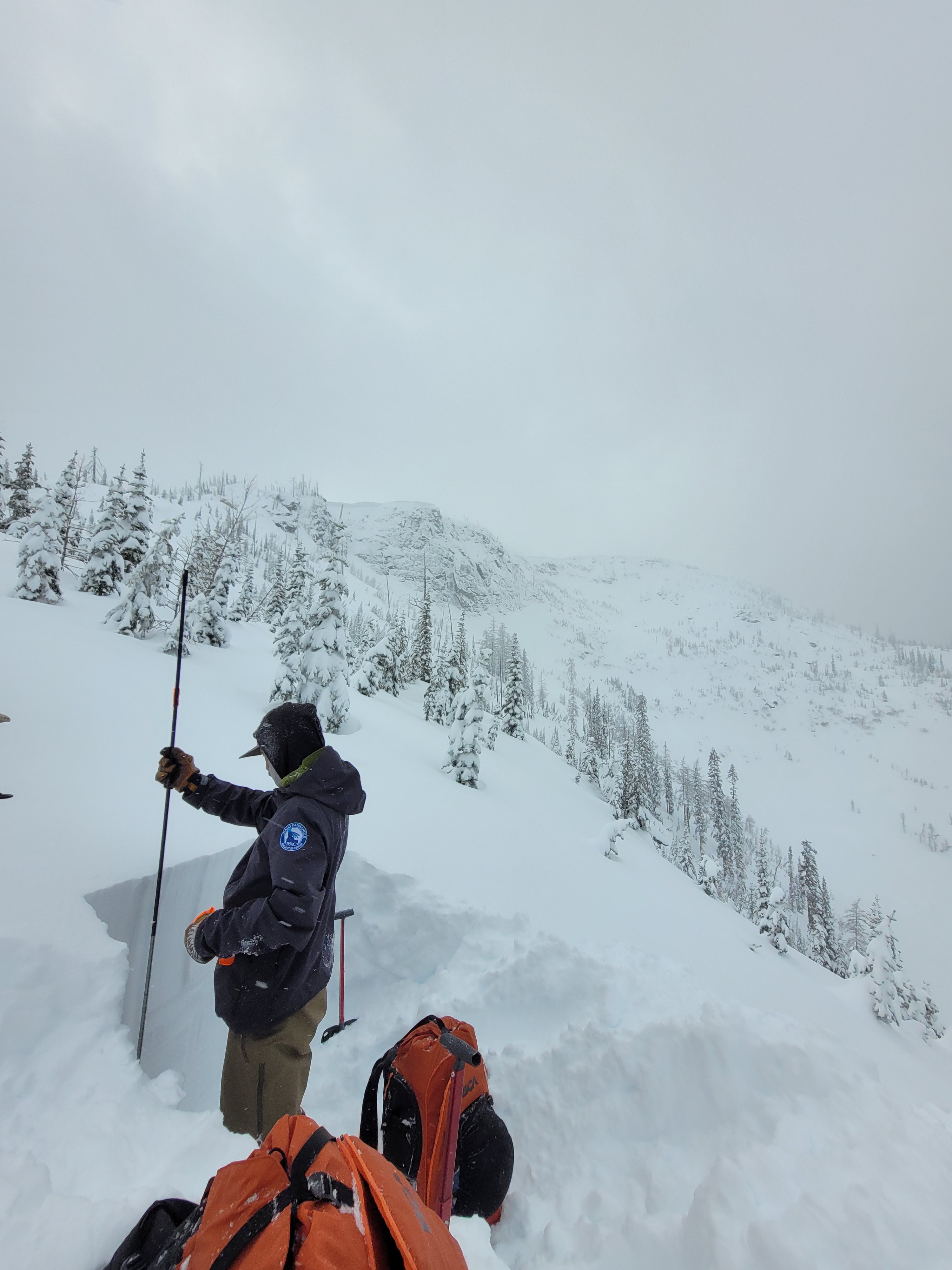
At 6300 feet on a North aspect the total snowpack height was 250cm (~8ft). 4F hard snow overlaid 4F- hard storm snow in the top 40cm. The most notable instability test results were ECTN 22 (1st column, and then 2nd column), ECTP 24 down 70cm at a storm snow hardness difference and where a thin (2mm, P-) crust was present. We observed a hard force CT SC down 90cm underneath the (2cm thick, K hard) Grinch crust. We also found the January 1st surface hoar (4mm) layer down 80cm. More details can be found in the attached snowpilot.
Avalanche
- Size
- D2
- Type
- SS
- Aspect
- E
- Trigger
- N
- Elevation
- 6200 ft
D2 above first lake in open, likely rocky area