
Quick report
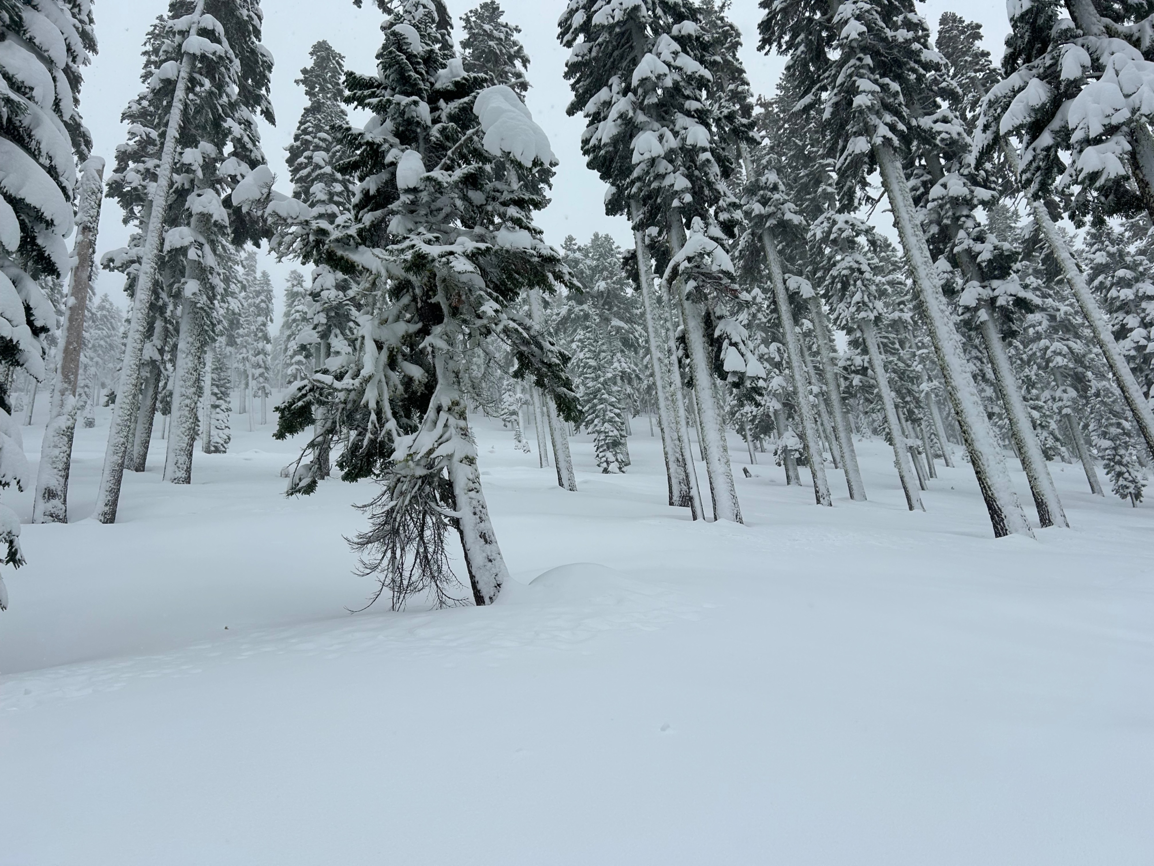
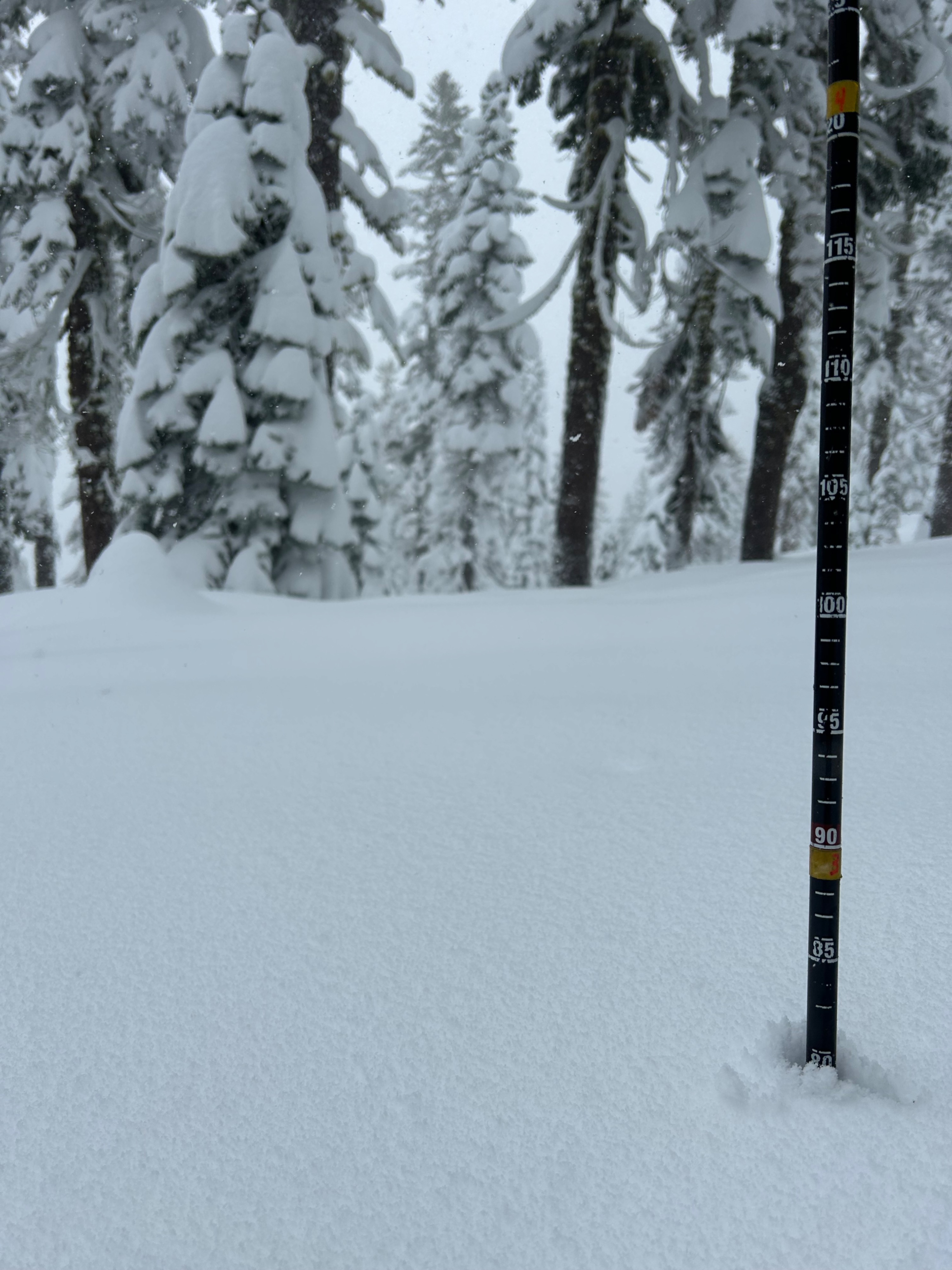
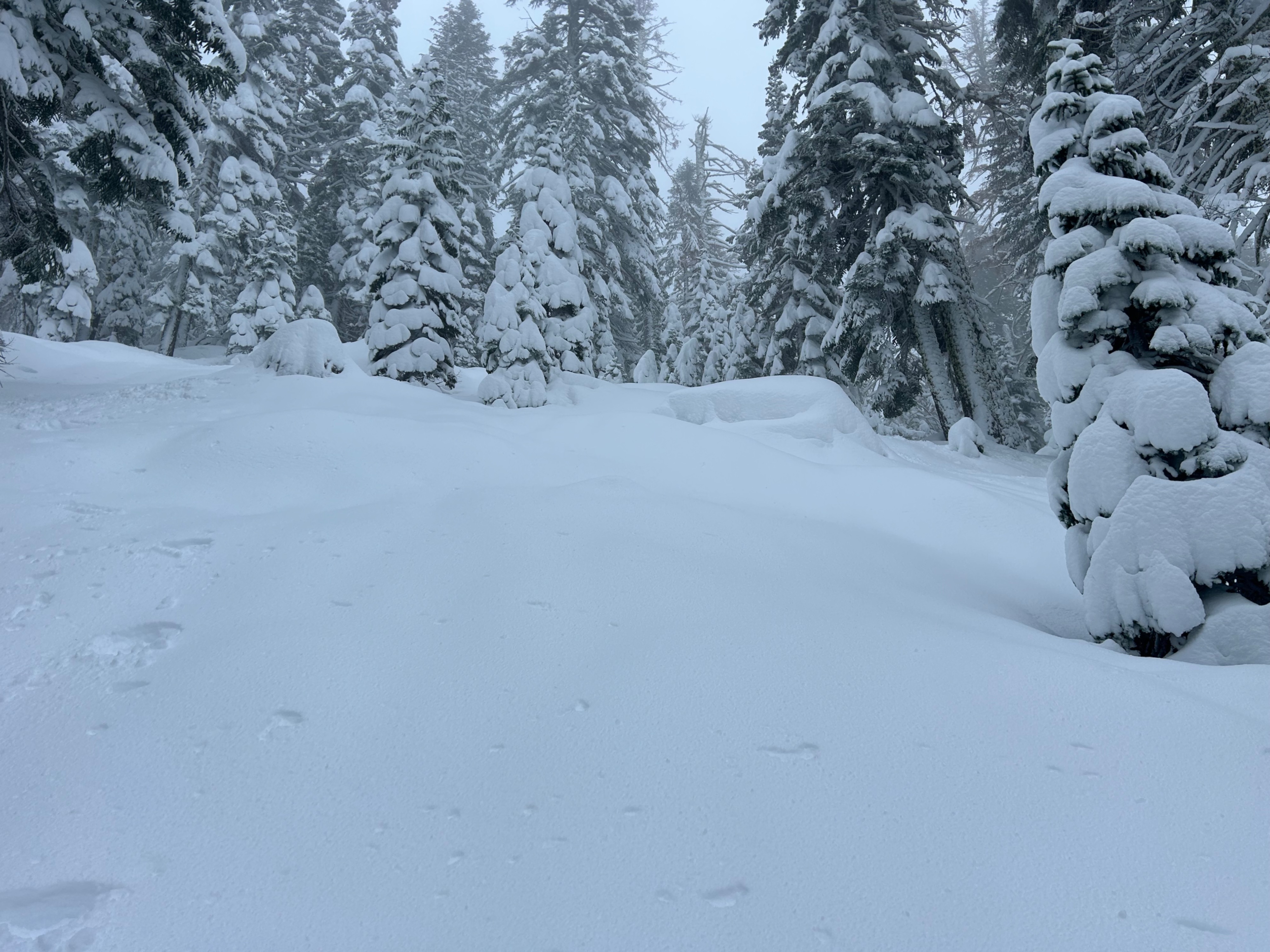
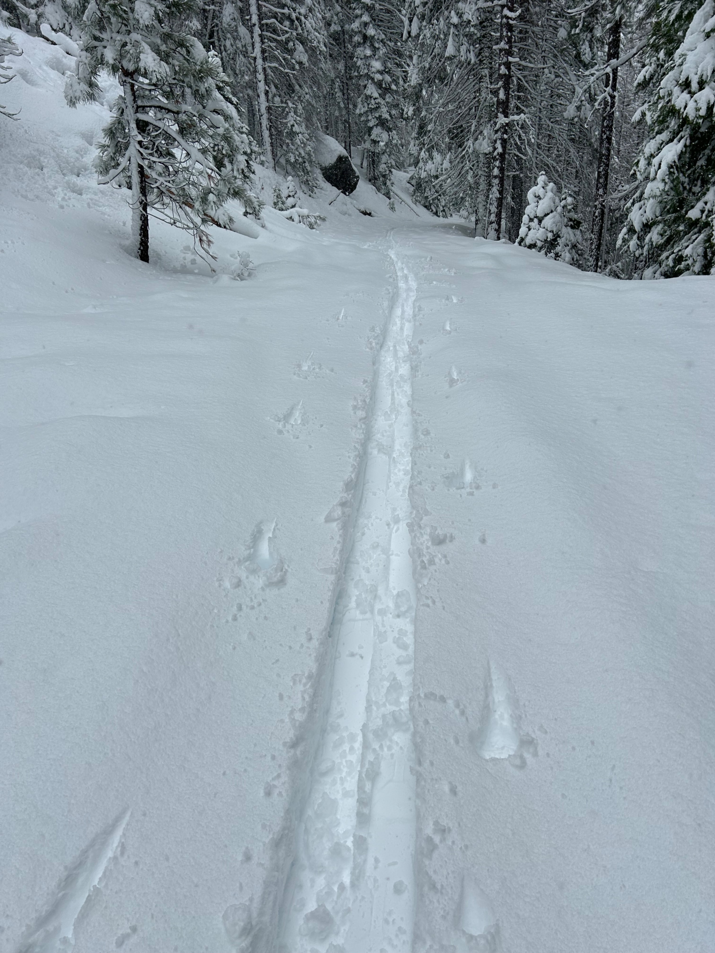
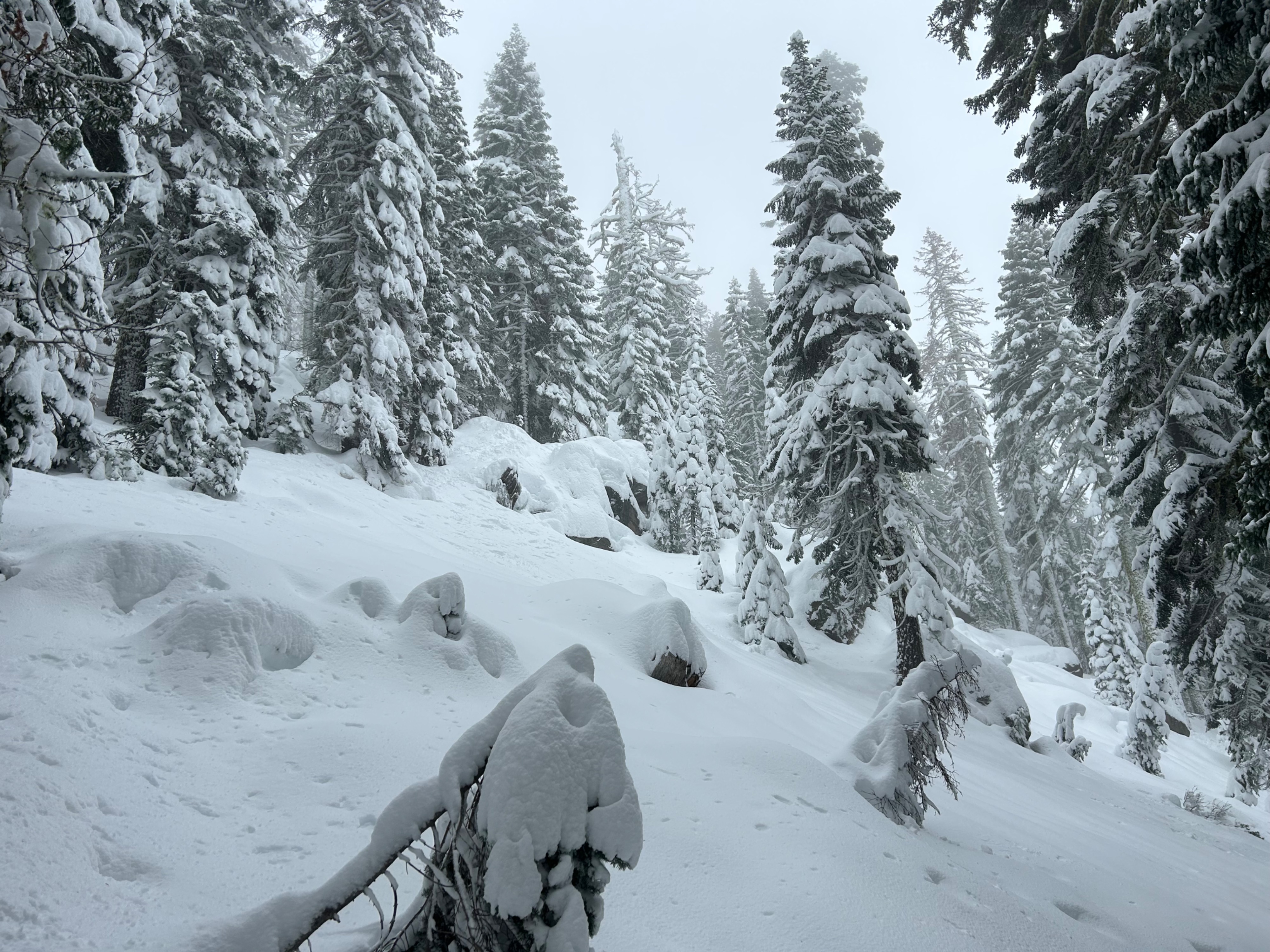
Last night the mountains received anywhere from 5 to 10 inches of new snow. The new snow is bonding well to the underlying crusty bed surface. The snow is settling fast below treeline on most aspects. On shady northerly aspects, settlement is occurring less rapidly and there is potential to trigger a storm slab in steep convex terrain.
Near and above treeline, I would suspect wind slab development is occurring on leeward aspects, with the potential for storm slabs in steep isolated terrain.Weather
- Air Temp
- 30
- Cloud Cover
- obscured
- Wind Loading
- none
- Recent Snowfall
- 23
- Snow Avail For Transport
- moderate amounts
Stormy weather was experienced throughout the day. Visibility remained low, temperatures hung around freezing levels, and winds were calm.
Snowpack
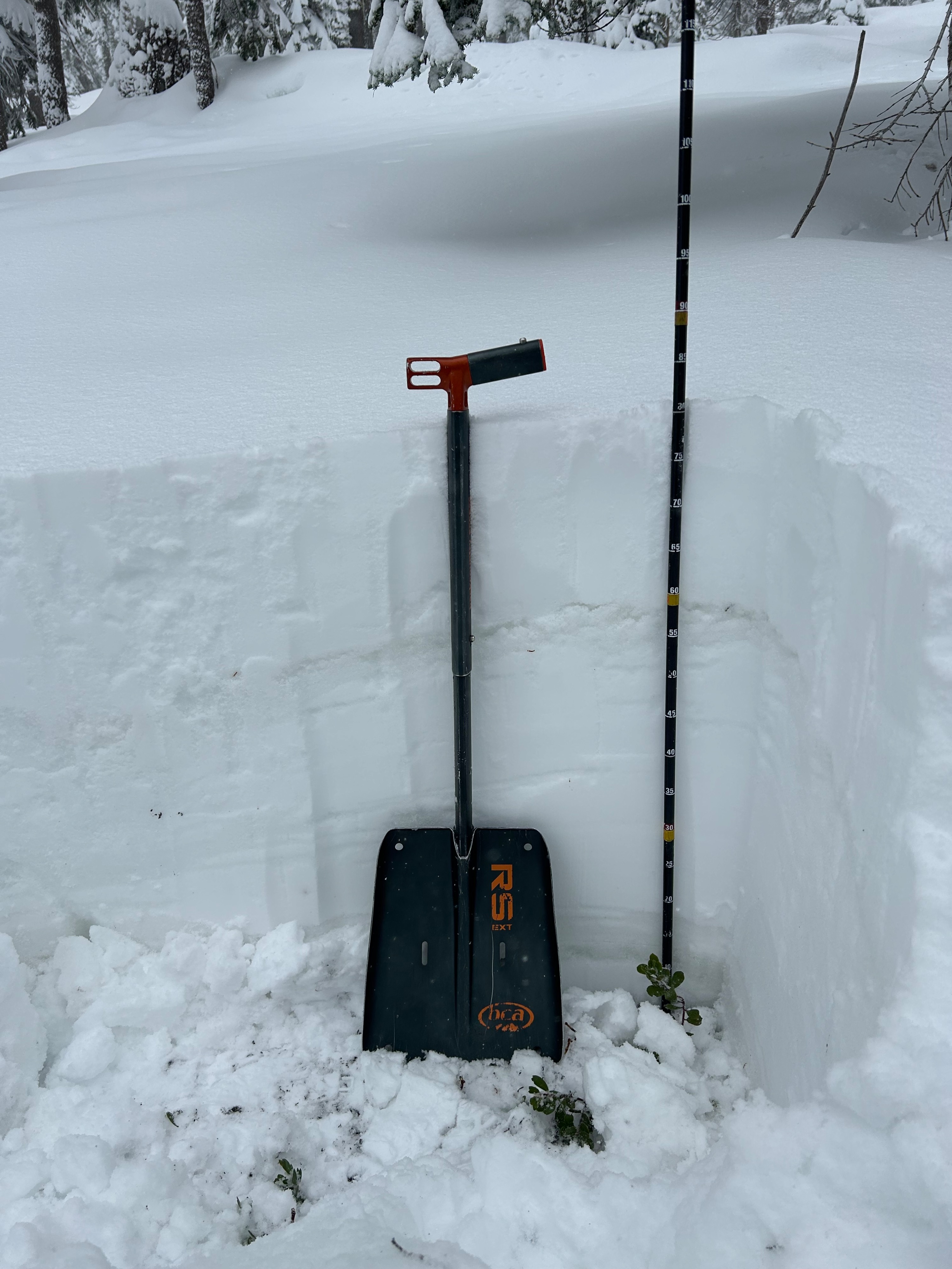
Below treeline at 6,800 feet, a healthy 33-inch (80 cm) snowpack exits. New snow sits atop a widespread 5-inch thick rain crust that is 1-F hard. The rain crust was supportable for riding on, but not supportable to the weight of a human's boot, meaning post holing was easy. A series of well bonded dry snow and crusts exist below to the ground.