
Quick report
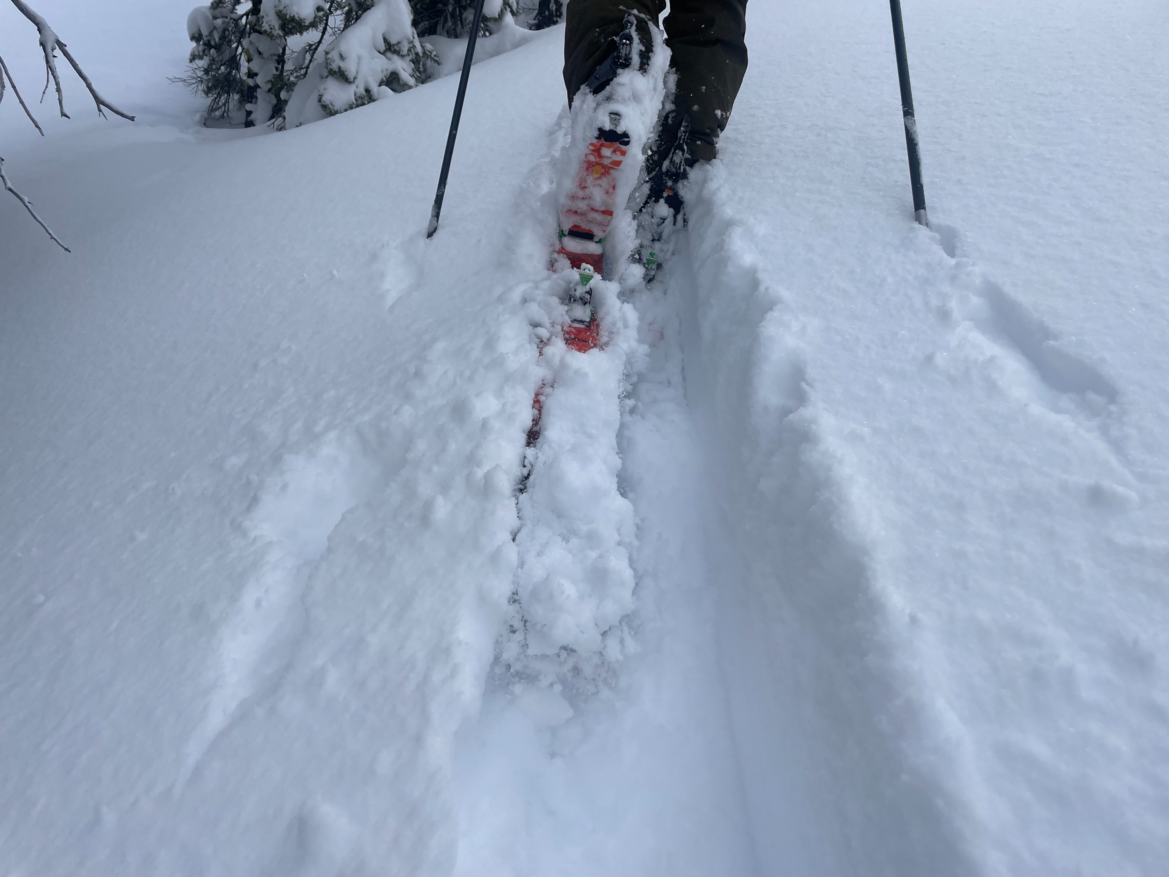
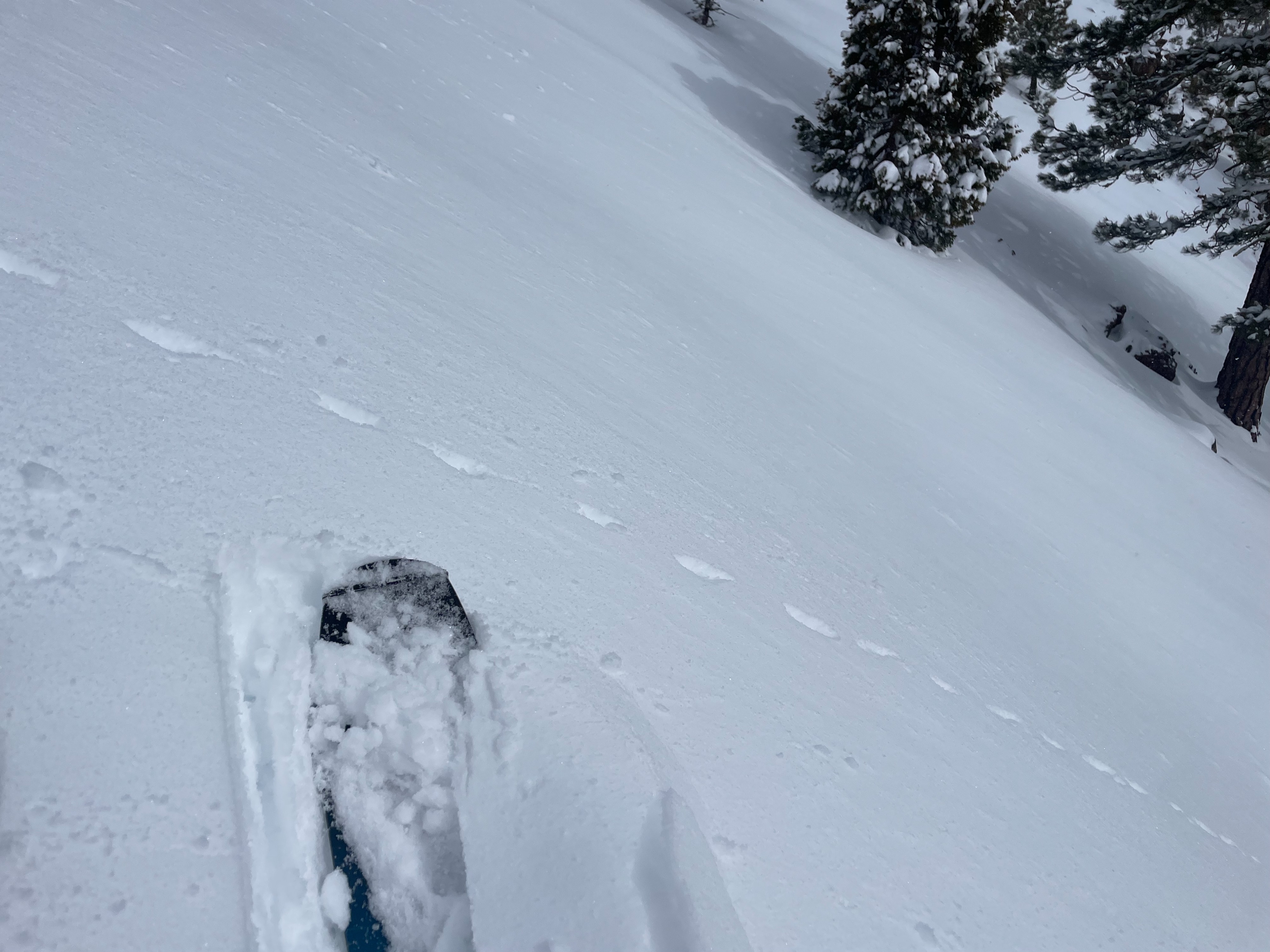
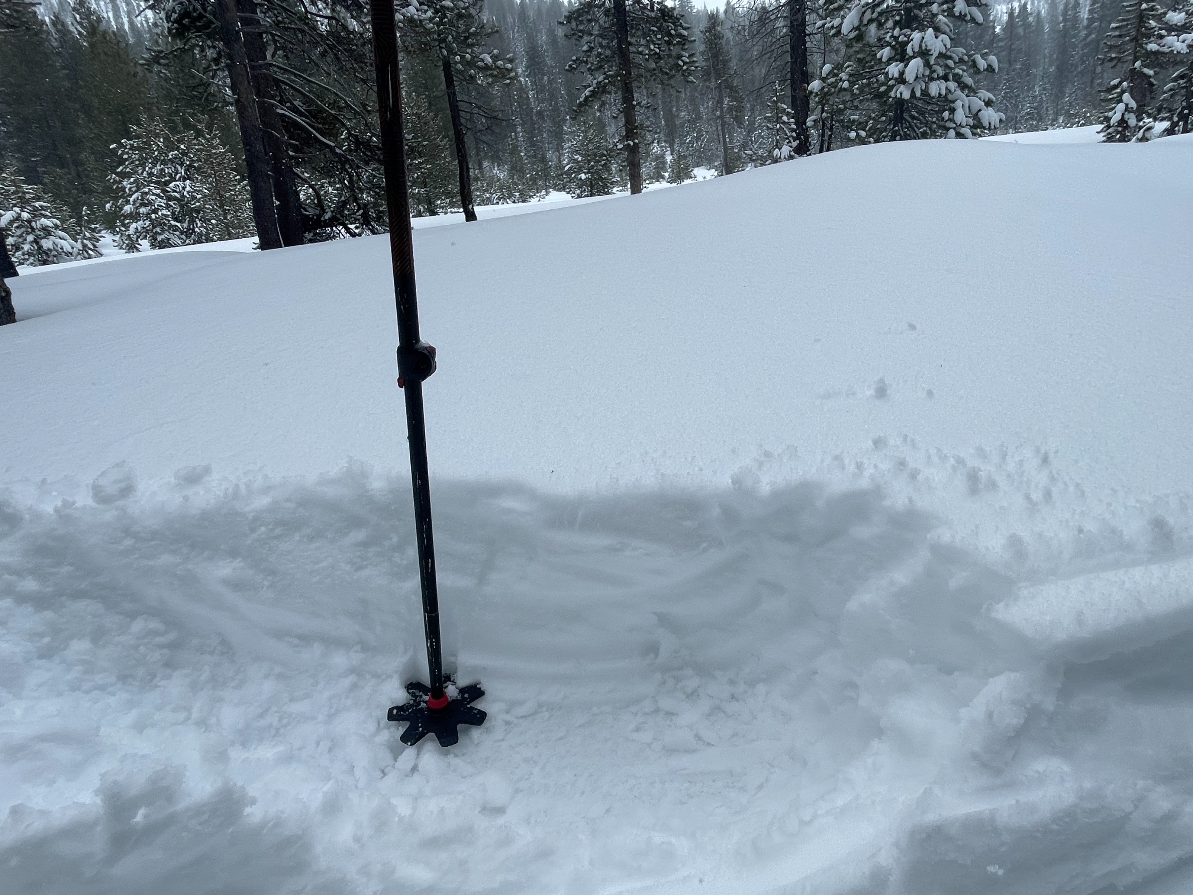
Today, Jason and I set our sights on the Parks Creek area to assess the new snow coverage and any persisting instabilities. Overall, 8–10 inches of new snow has accumulated since Thursday (3/27), with some areas holding as much as 12 inches. Lower elevation terrain (6,000 feet and below) hold closer to 6 inches. The snow out there is consolidating quickly, providing great coverage over a firm melt-freeze crust from earlier in the week. Lower elevation snow began to dampen throughout the day, becoming slightly upside down in structure. No serious wind effect or general instability was observed,
No instabilities were observed.Weather
- Air Temp
- 25-28
- Cloud Cover
- obscured
- Wind Loading
- none
- Rain Elevation
- 3,500
- Recent Snowfall
- 5
- Snow Avail For Transport
- moderate amounts
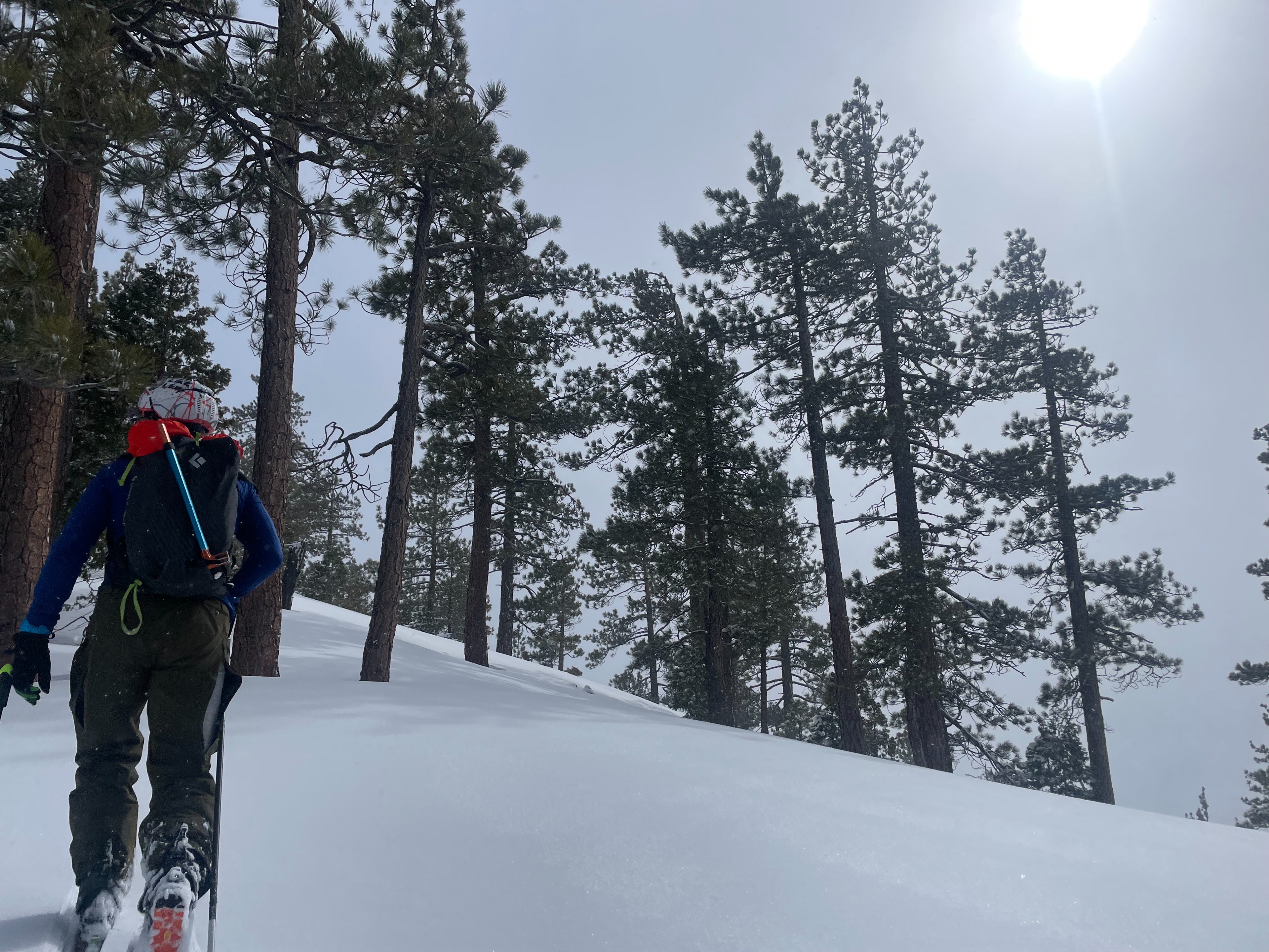
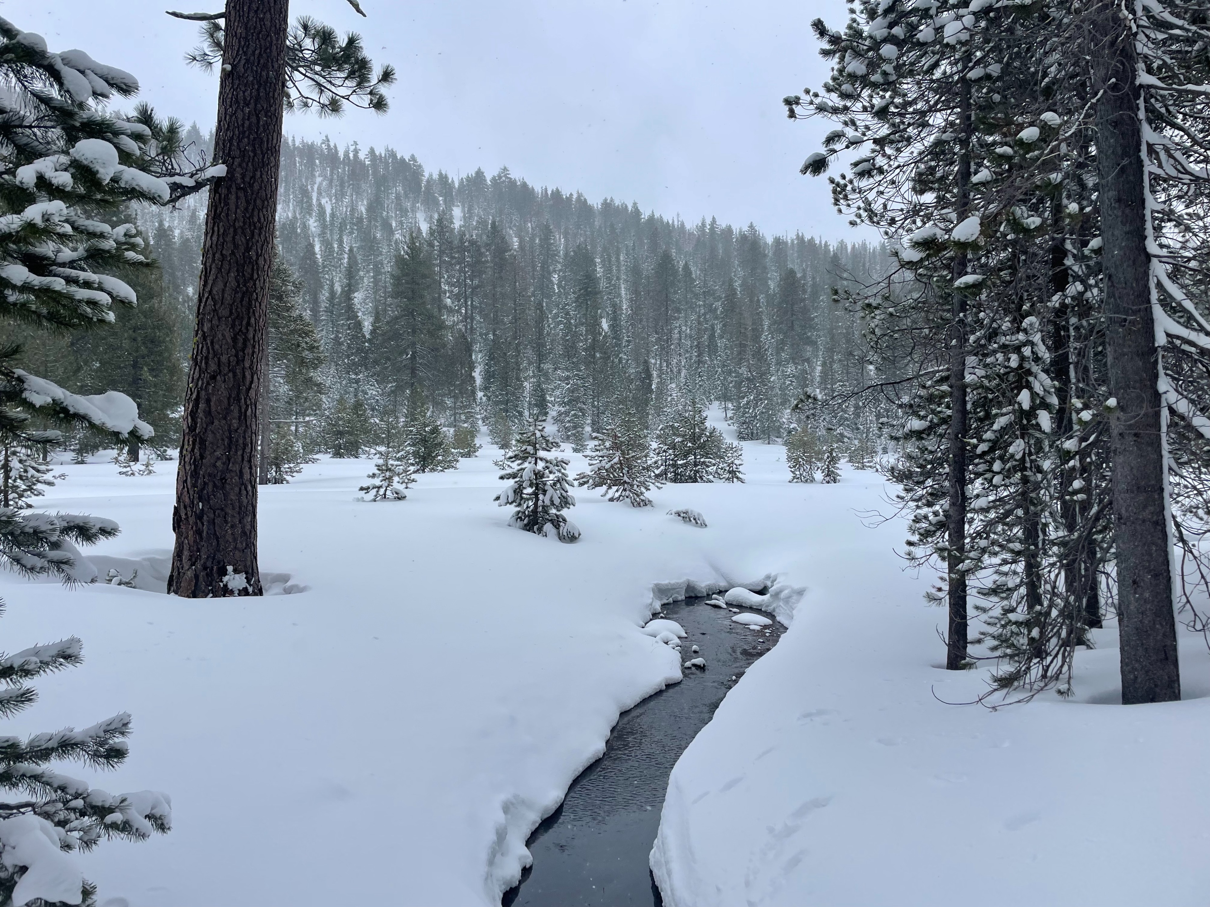
Snow showers continued off and on throughout the day, providing no significant additional snow to last night's totals. Direct sunlight never fully poked through the clouds. The wind was largely unnoticeable, even on ridge tops. Regarding wind observations, our party reached as high as 7,100 feet. Temperatures started out cold, but began to rise as the day continued.
Snowpack
The recent storm systems (since 3/27) have provided 8–10 inches of new snow to the Parks Creek area. Lower elevations (6,000 feet and below) hold closer to 6 inches. The new snow is settling quickly, bonding well to the old snow interface. All new snow sits on top of a firm melt-freeze crust from the warmer temperatures experienced earlier in the week.
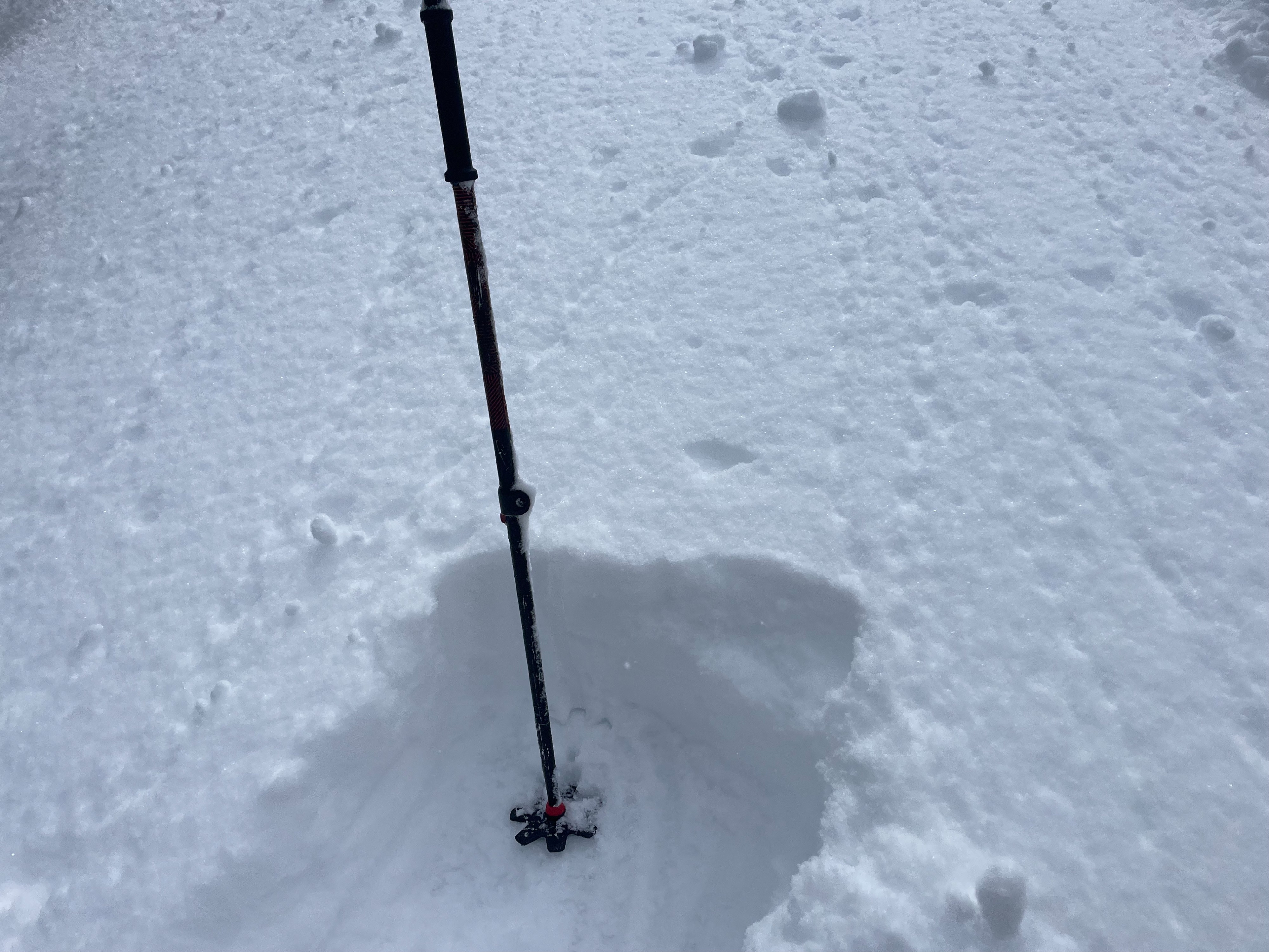
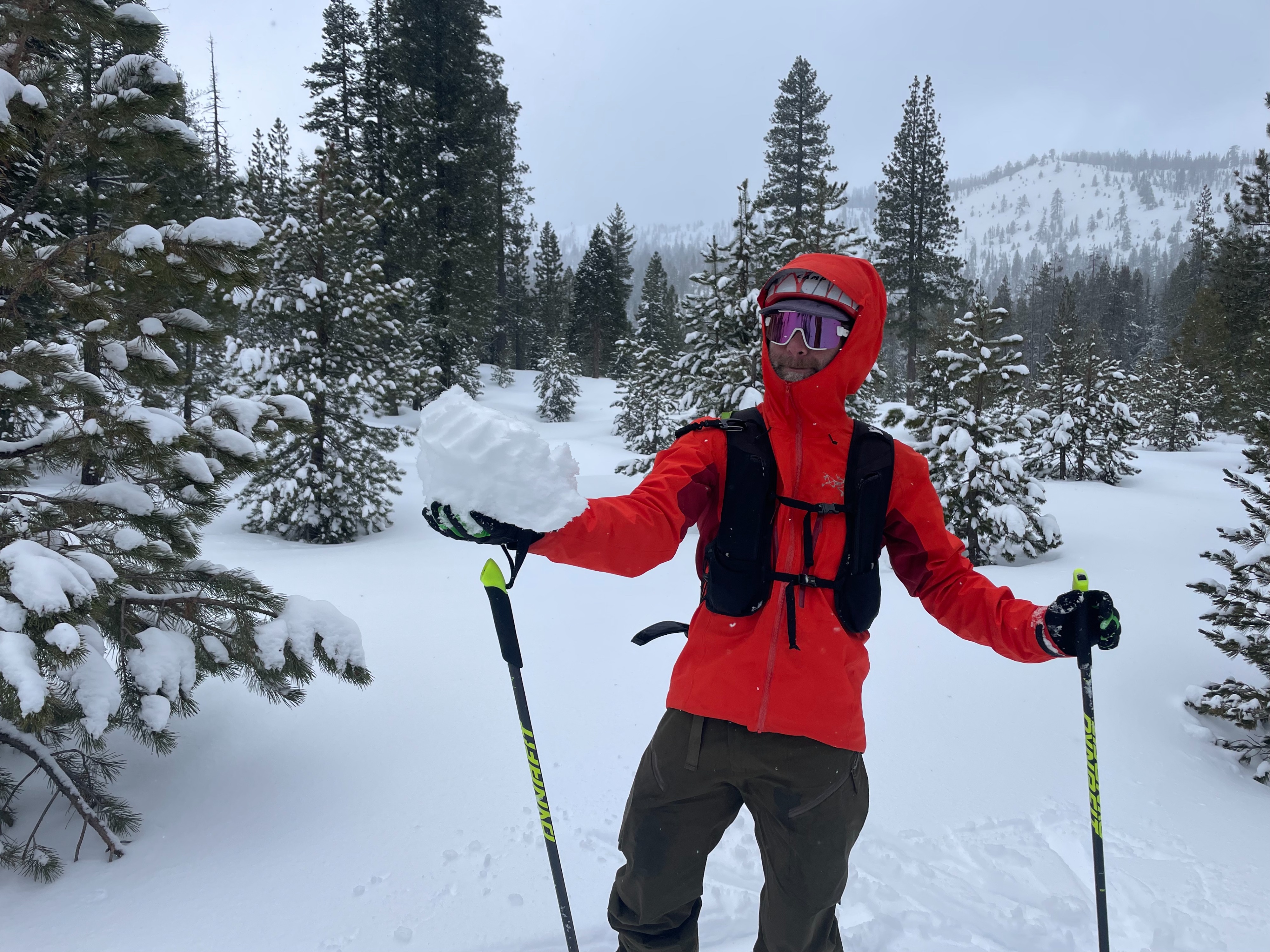
Snow conditions became slightly variable as temperatures rose. Early in the day, low elevation snow was relatively cold, loose, and dry. By midafternoon, this low elevation snow began to dampen due to green housing. Snow surfaces became stickier, with roller balls becoming easy to trigger. By the end of the day, the snowpack began to feel a bit upside down.
Higher elevation snow (6,500 feet and above) maintained good quality.