
Quick report
- Cracking
- isolated
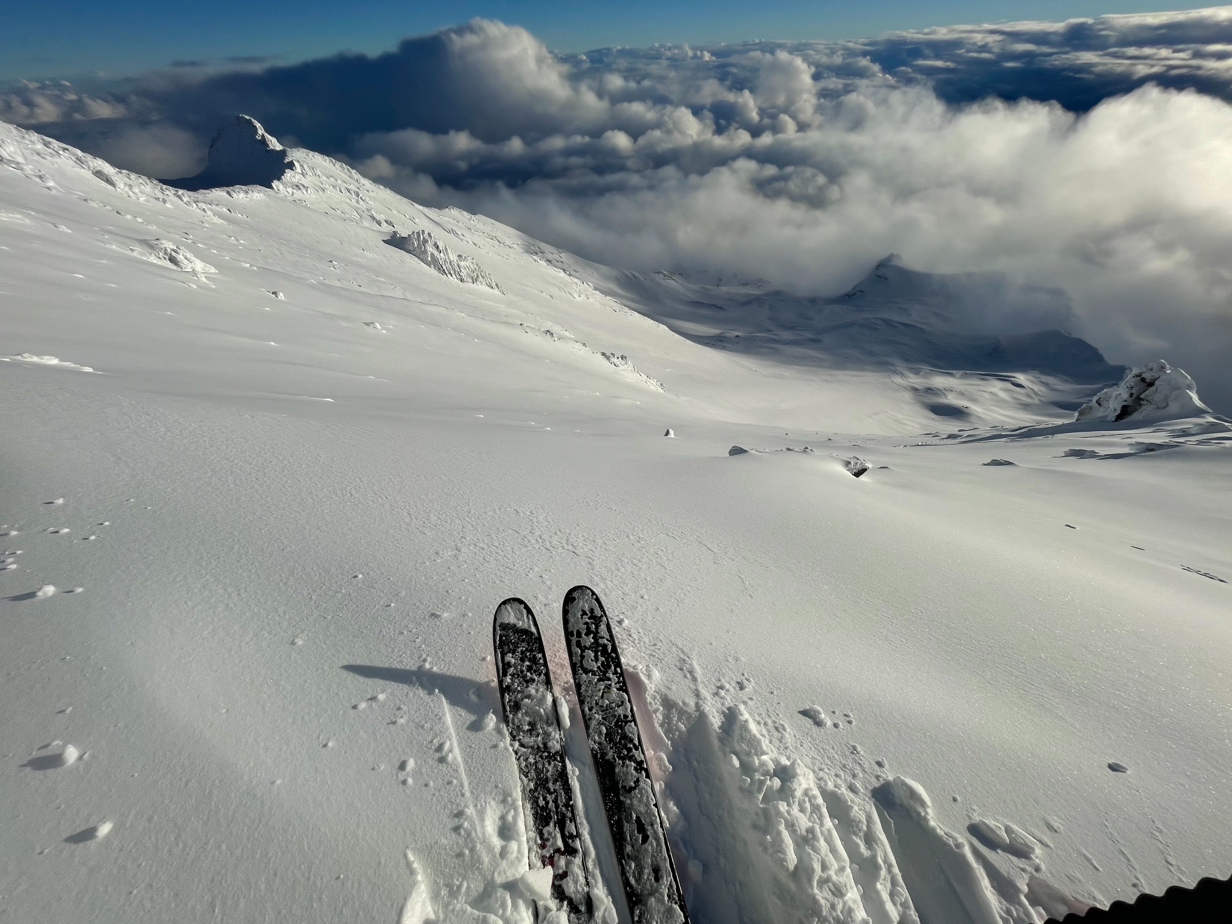
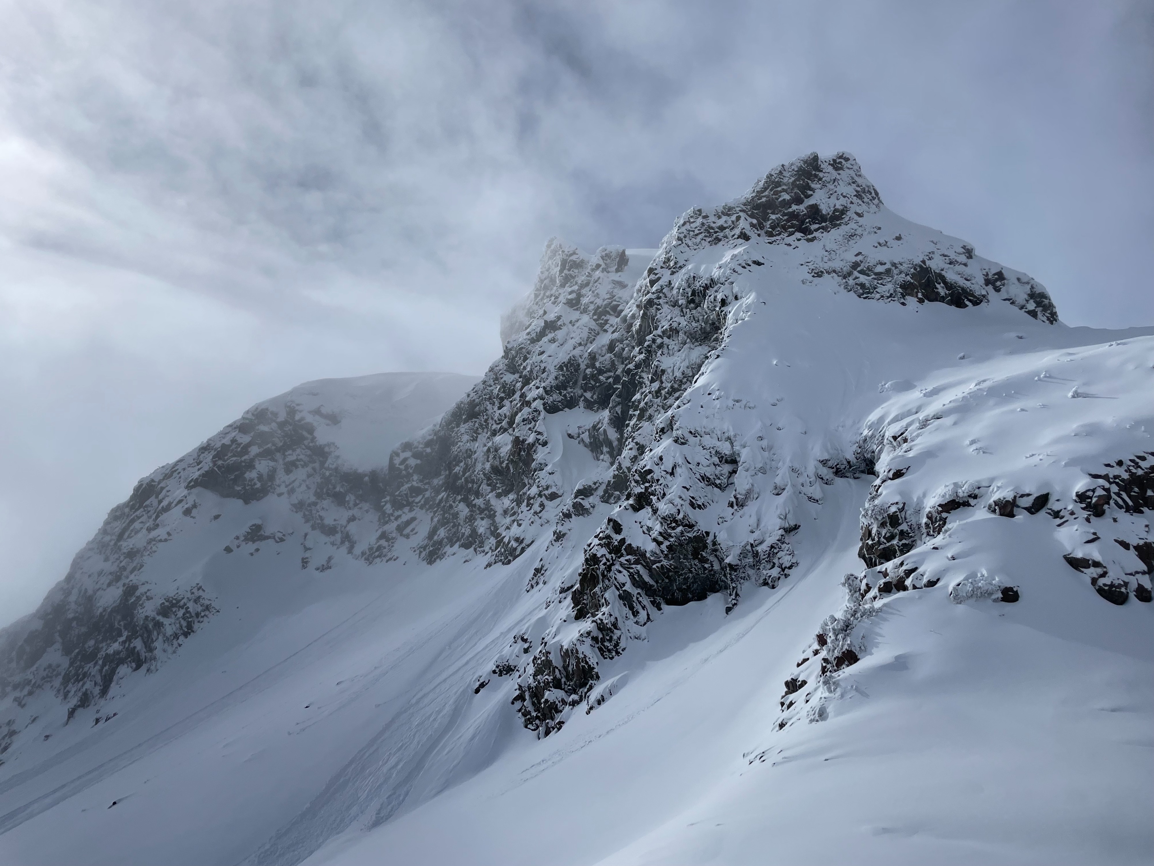
The objective of today was to assess new snow instabilities on the south side of Mount Shasta through all forecasted elevation bands. As it stands, a wide range of variability exists in the current snow conditions. Below treeline, the snowpack remains very thin. The recent storm was warm enough to mostly provide rain to this elevation band. While no real avalanche hazard was found in this zone, natural hazards like trees and rocks are abundant. Near treeline, multiple wet-loose avalanches were found accompanying the 9 inches of new snow. This new snow is relatively dense and right side up. Above treeline, new snow totals were closer to 12 inches, and the snow was cold, dry, and relatively low density. These higher zones also had a different avalanche problem than at lower elevations. Fat, wind loaded slopes were found on east, and west aspects, sometimes lower on the slope than expected.
Upon descent from Old Ski Bowl, near treeline terrain had already begun to freeze up, and forming a punchable solar crust at the surface.
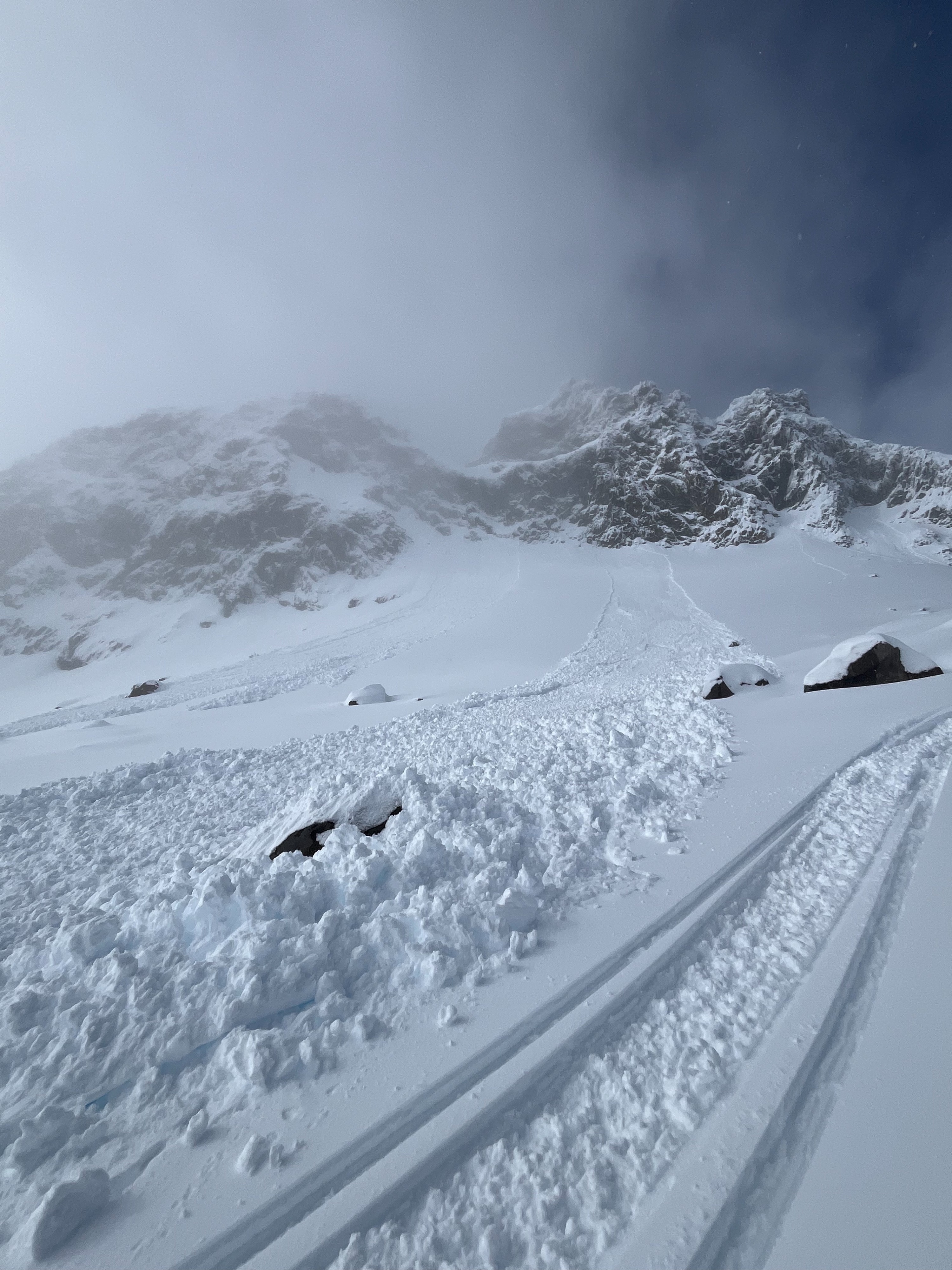
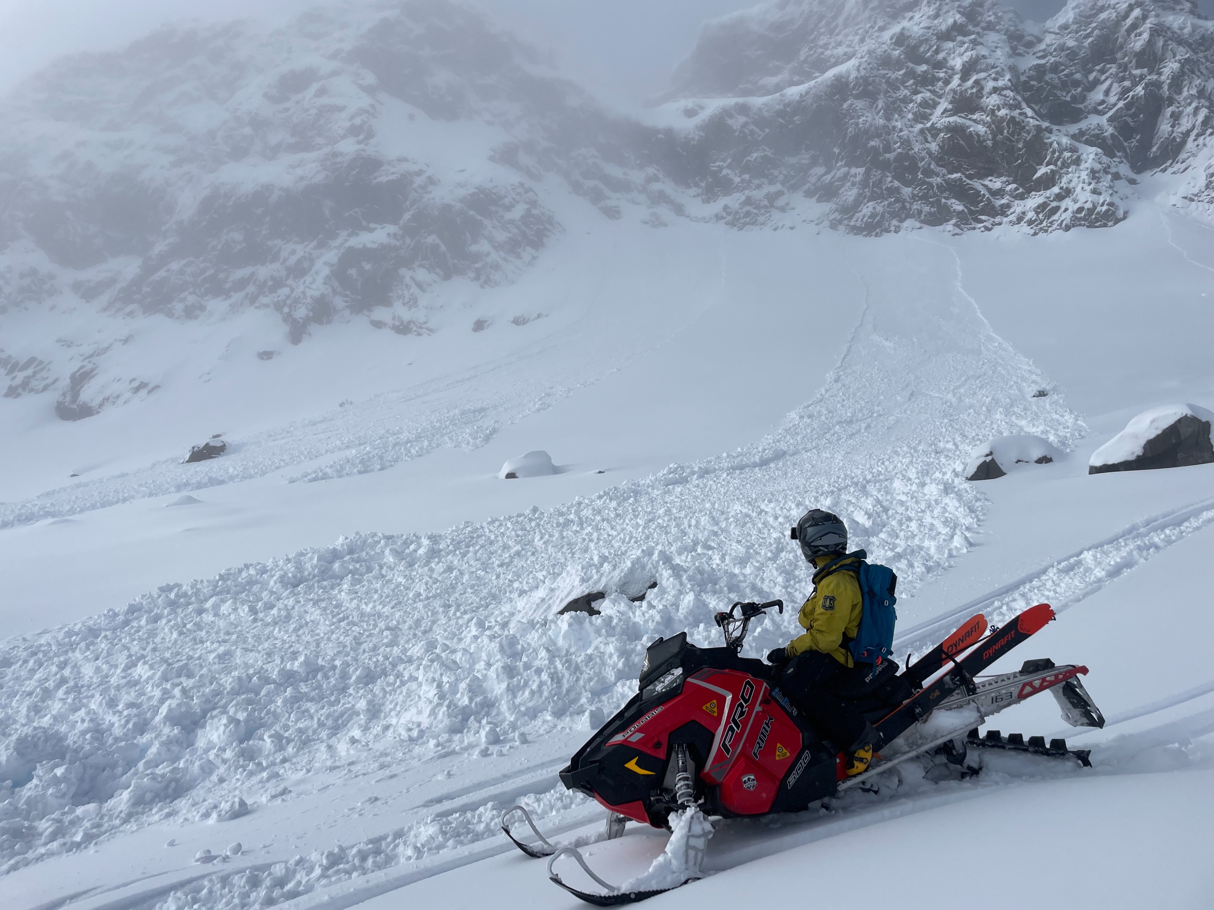
There were two different significant signs of instability observed today: 1. A pronounced wet-loose avalanche problem in near treeline terrain, on south, east, and west aspects. Multiple natural avalanches were observed, having occurred in the last 12 hours. All were around D1. 2. Small shooting cracks were found on wind loaded slopes above treeline. These wind loaded slopes were specific to east and west aspects, and restricted to above treeline terrain.Weather
- Air Temp
- 26
- Cloud Cover
- obscured
- Wind Loading
- light
- Recent Snowfall
- 29
- Snow Avail For Transport
- moderate amounts
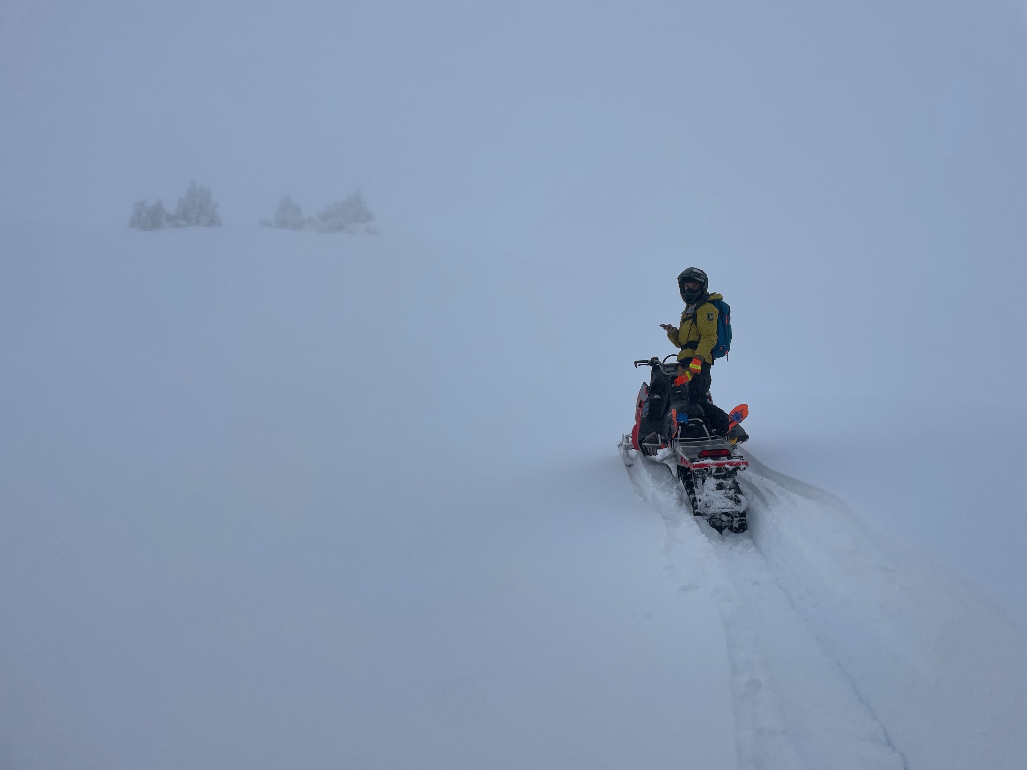
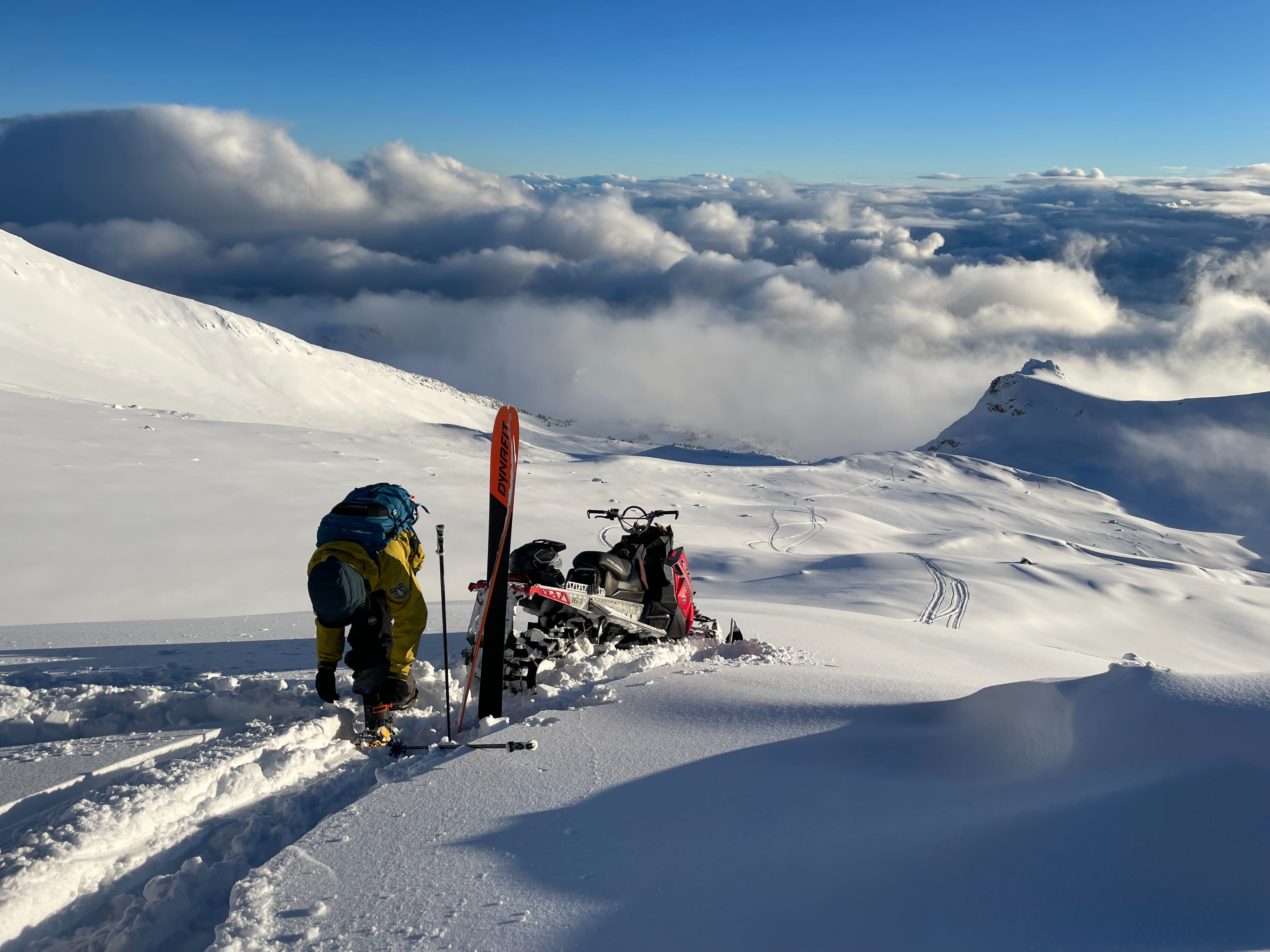
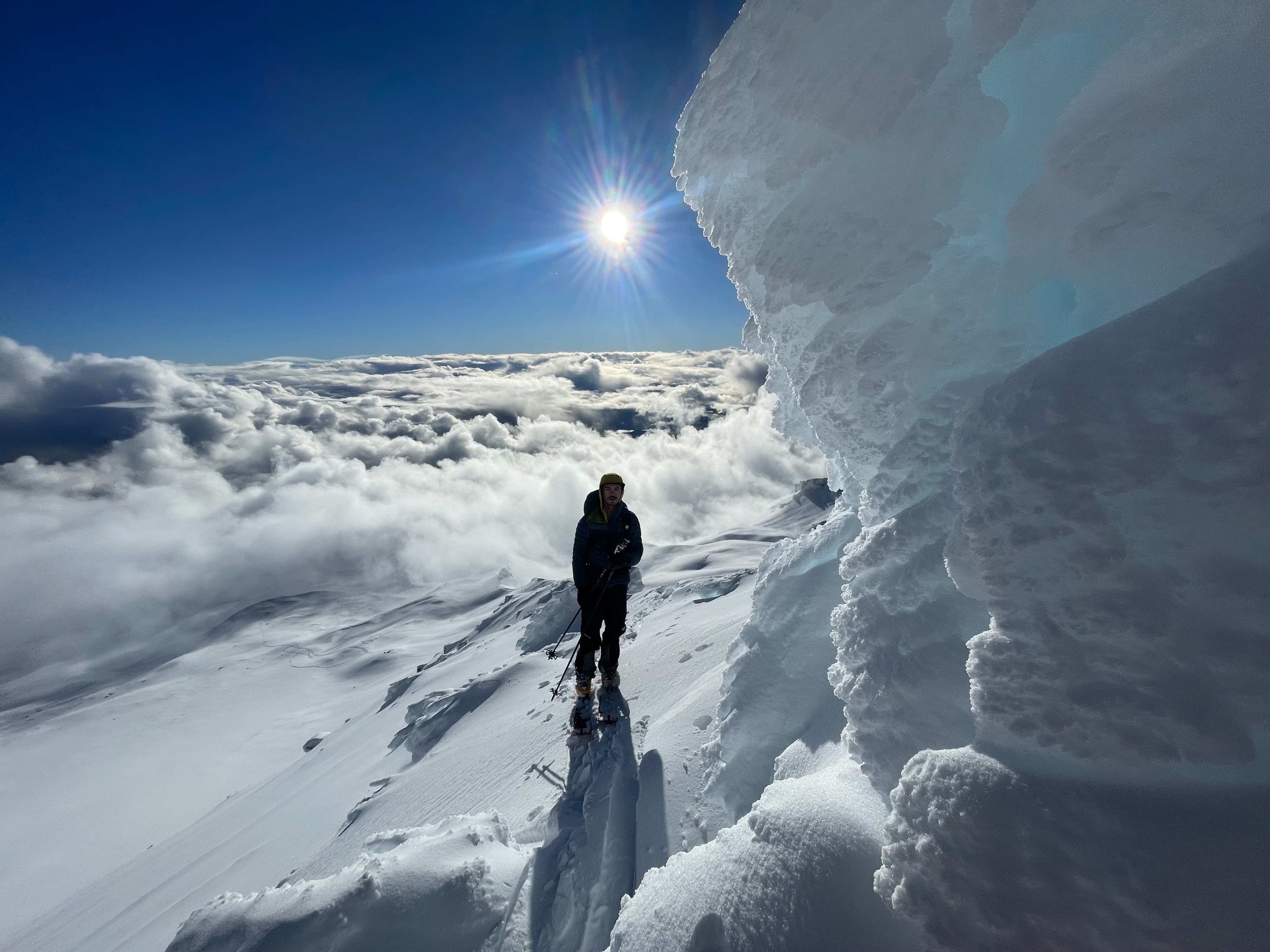
Upon arriving to Bunny Flat and extending until 12pm, skies remained completely obscured with 500 foot visibility below, near, and above treeline. Light precipitation continued, with light winds out of the west. After 12pm, skies began to clear above treeline. By mid-afternoon, clear skies dominated above treeline terrain, with the cloud line around 8,000 feet. Exposed slopes and ridges experienced moderate westerly winds. While temperatures began to rise as the day went on, upper elevations stayed quite cold with the slightly stronger winds.
Snowpack
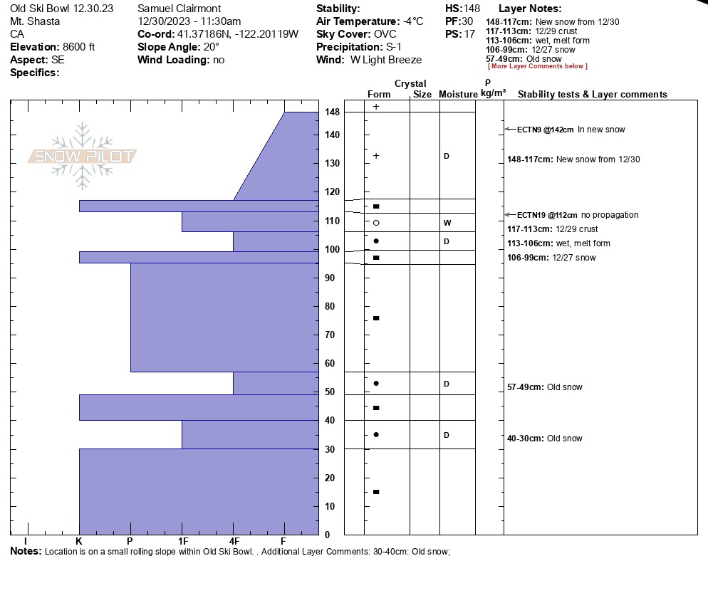
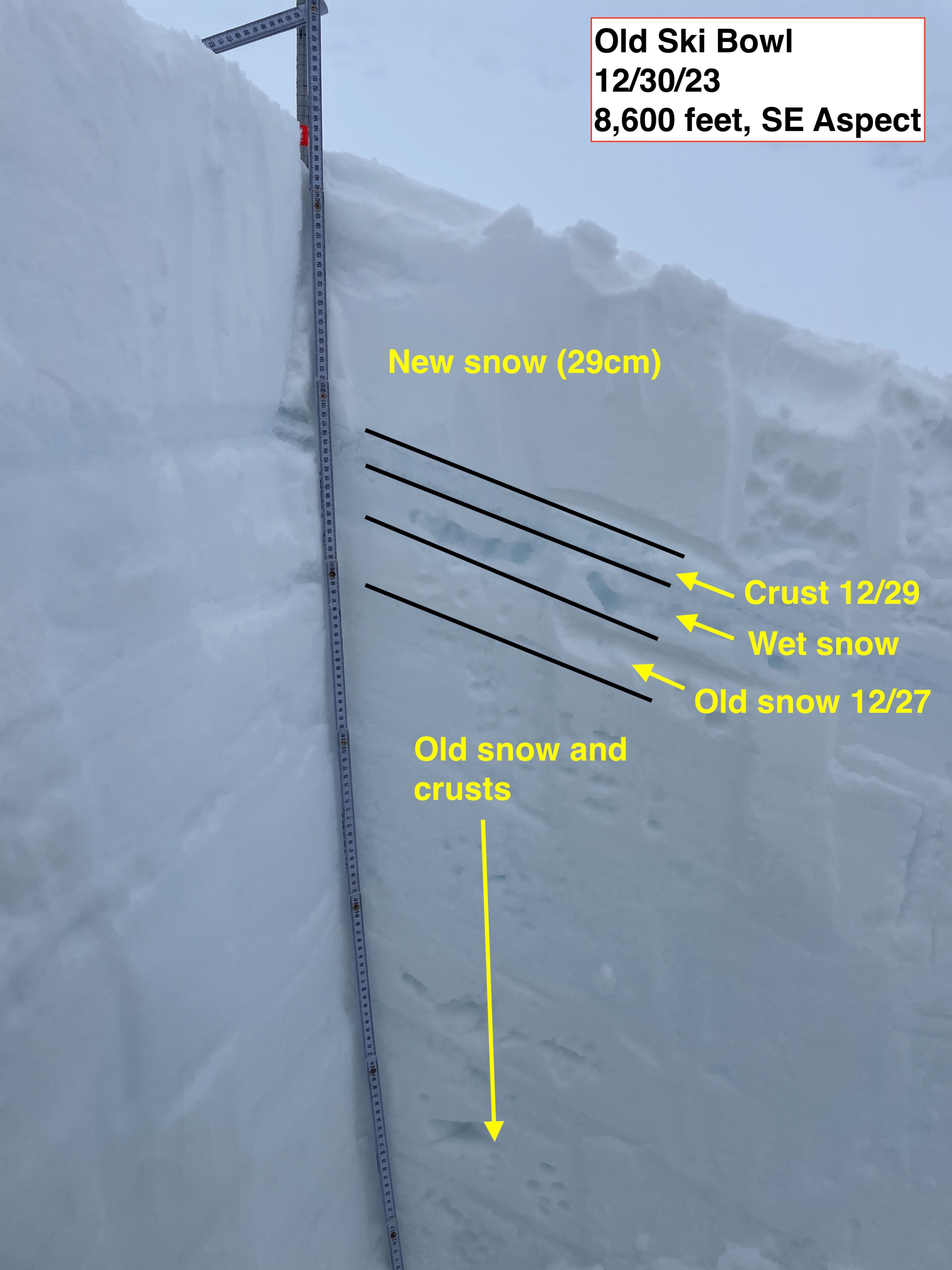
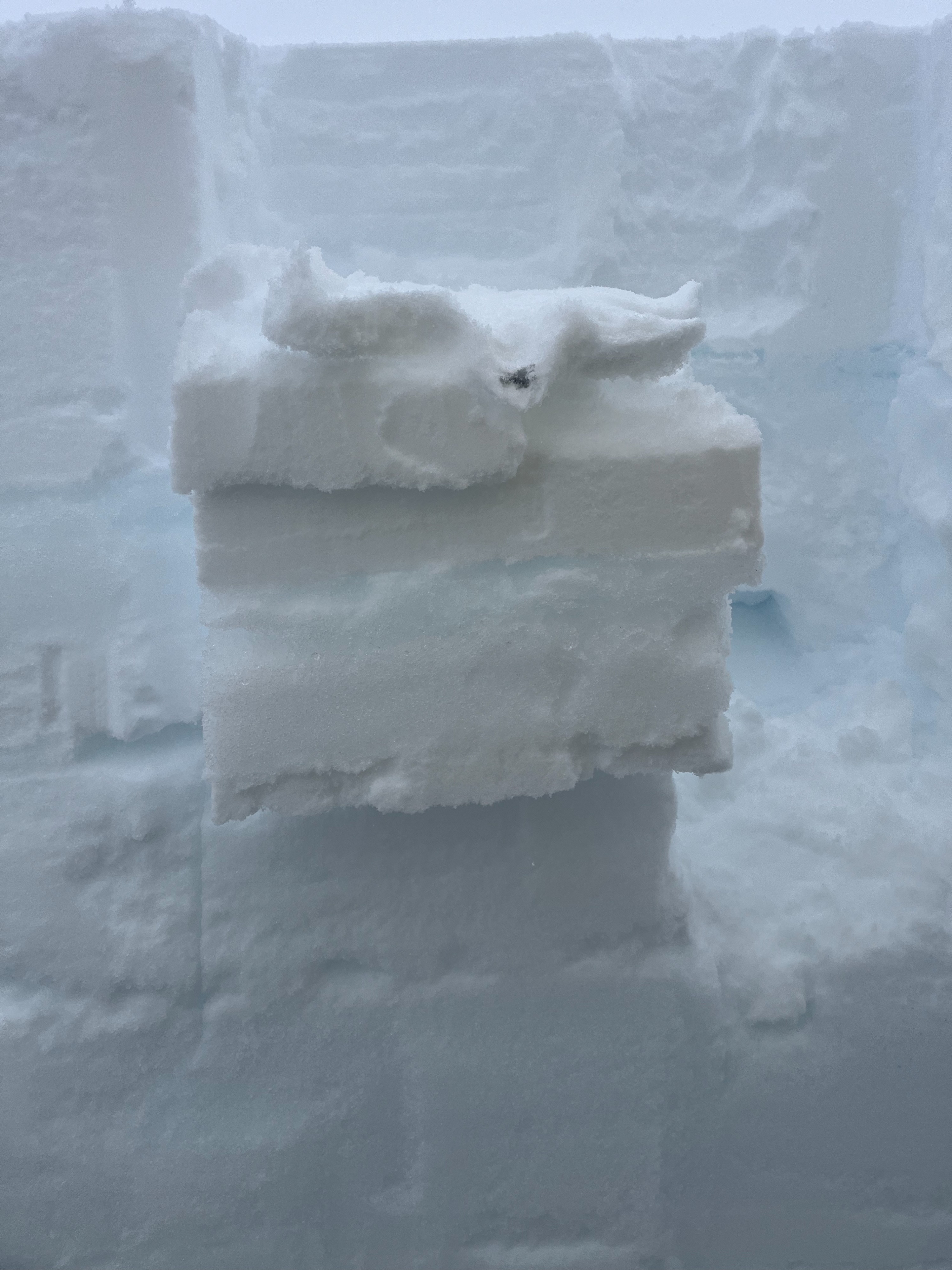
A pit was dug on a southeast aspect in Old Ski Bowl, at around 8,600 feet. The 12 inches of new snow was found on top of a knife-hard crust with wet old snow below. The rest of the snowpack was a series of old snow and crusts since November. Extended column tests showed some minor failure within slight density changes of the new snow, and a little larger failure on the wet snow from 12/29. None of these failures propagated across the column. In all, there was nothing to be alarmed about.
Overall, new snow totals ranged from 9 inches at around 7,000 feet, to 12 inches at 8,600 feet and above. This snow fell onto a crust that had developed yesterday as temperatures cooled. The cohesion of new to old snow varied on elevation. Below and near treeline, the new snow appeared dry but heavy, sticking strong to the crust below. Above treeline and at higher elevations, this new snow appeared to be relatively cold, dry, and lower density. At these higher elevations, the crust below was much more firm and supportable, but lacked the cohesion to the new snow.
Avalanche
- Size
- D1 R1
- Type
- WL
- Aspect
- E
- Trigger
- N
- Elevation
- 8700 ft
A few different wet-loose avalanches were observed off of the east aspect of Green Butte today, releasing into Old Ski Bowl. These were likely triggered naturally from falling snow or rocks onto the lower slopes. These avalanches ranged from 20 to 40 feet wide, running as much as 400 feet. Although each were D1 in size (not big enough to bury a person), it was an obvious sign of a prevalent wet avalanche problem today. Instability was likely due to the weight of the new snow on top of a layer of wet snow 13–14 inches beneath the surface.