
Quick report
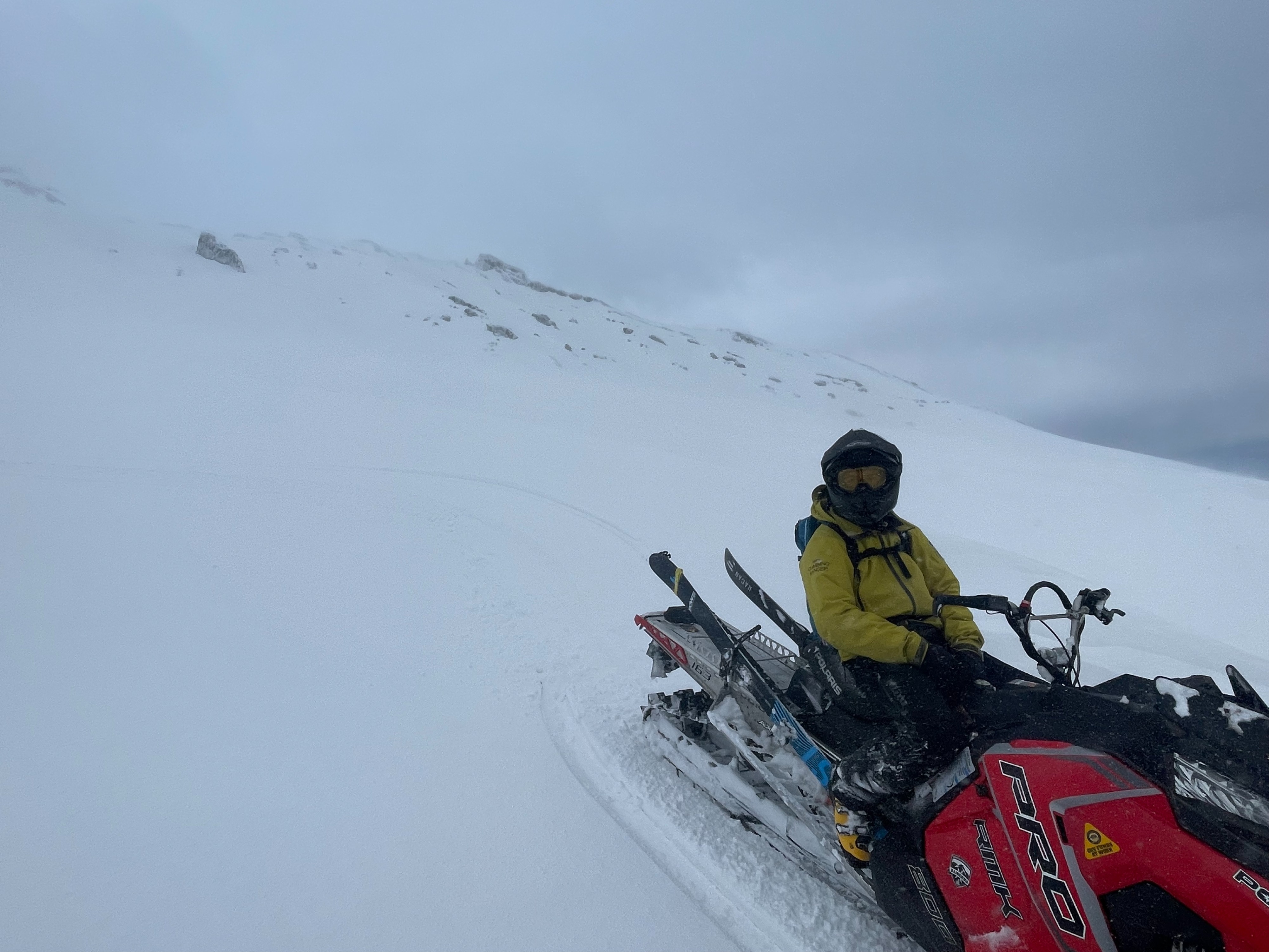
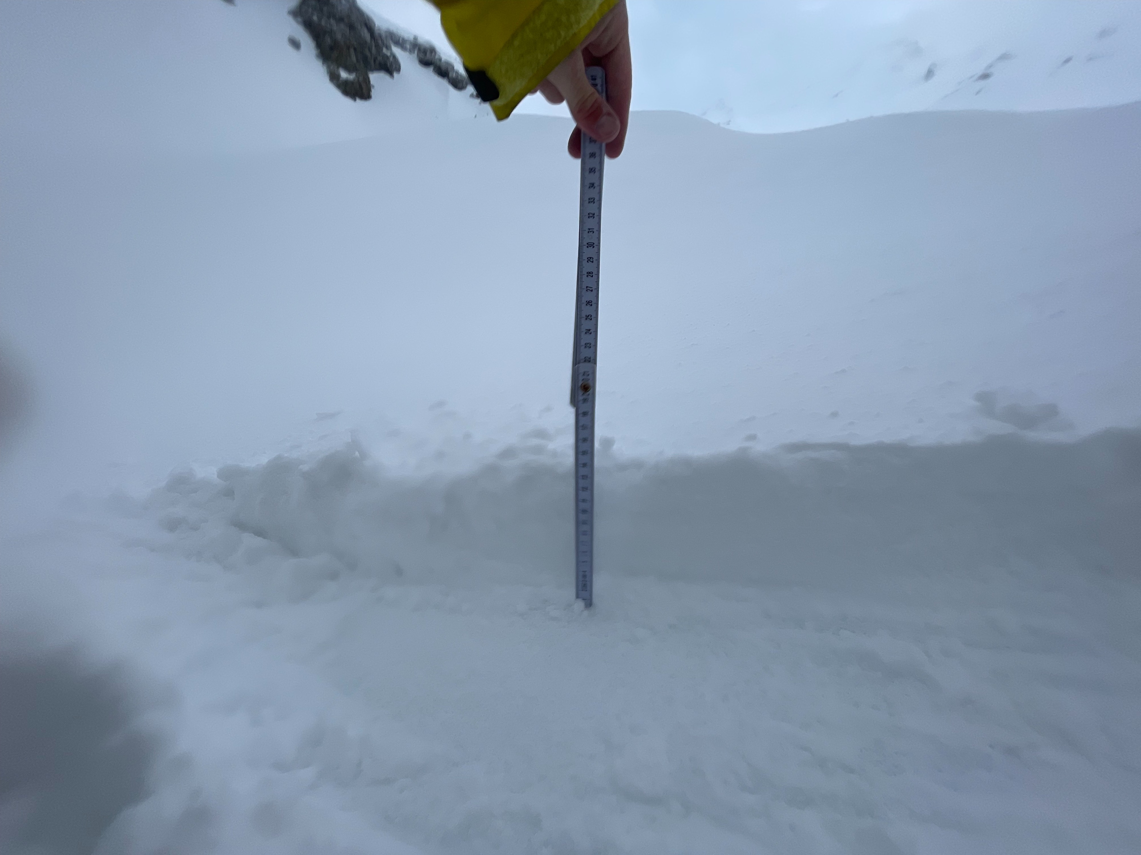
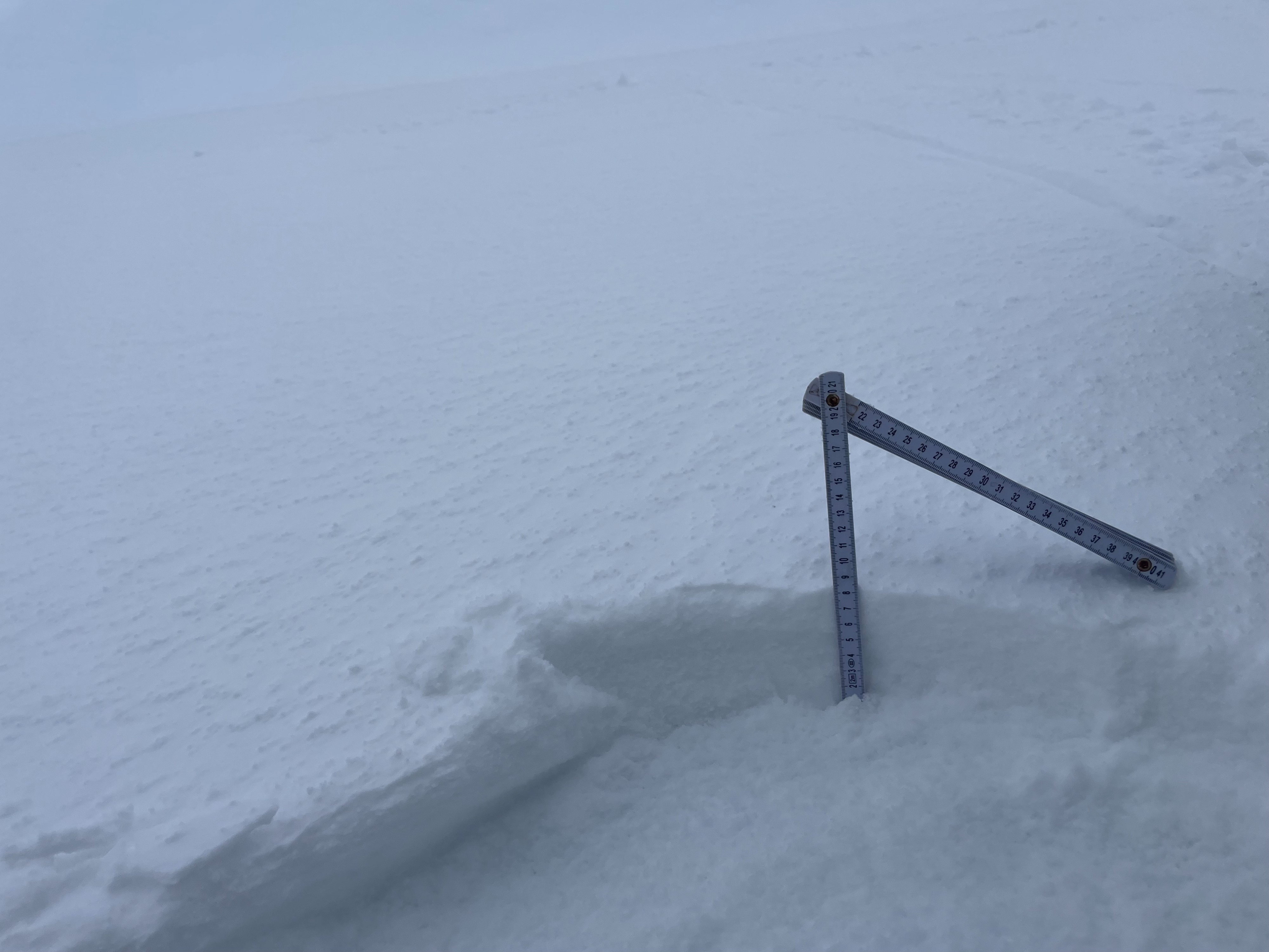
Today, Cory and I set out on snowmobiles into Old Ski Bowl to assess new snow totals and developing instabilities. Across the observed terrain, around three to five inches of new snow has accumulated. Leeward (westerly) aspects hold up to 12 inches due to wind loading. The moderate-strong southeast winds have created variable and patchy conditions above treeline, including large sections of exposed ice, crust, and drifts. At upper elevations, the southeast wind was quickly transporting any available snow onto leeward aspects. That being said, no signs of instability were observed. However, we did not have the chance to assess a true westerly aspect, to which would be the most susceptible to wind slab development.
Regarding ski conditions: the observed terrain was pretty rough. I suspect there is decent skiing to be found in protected aspects and terrain features such as gullies, but for what we saw, to ski the conditions begs for an injury to occur.
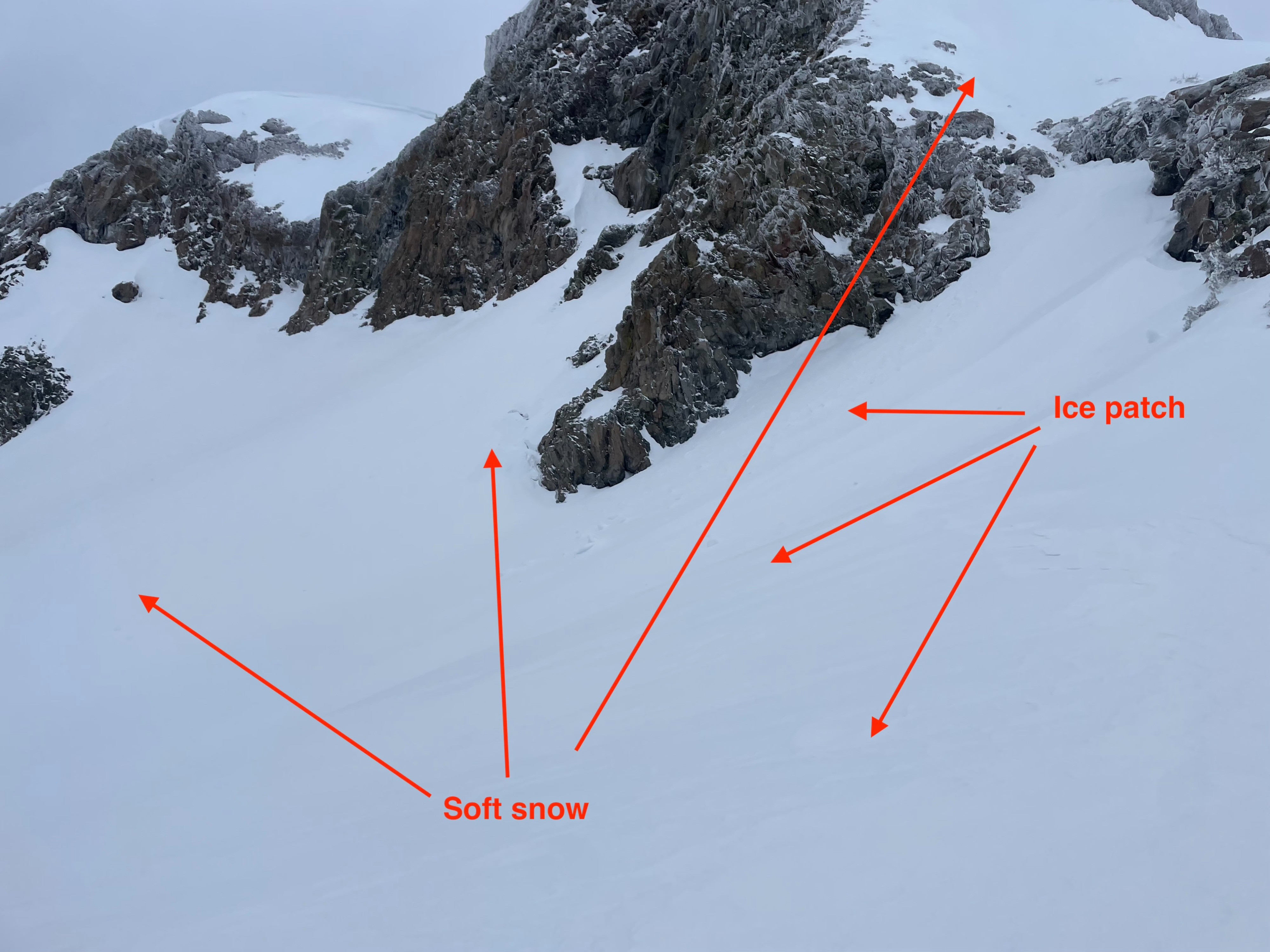
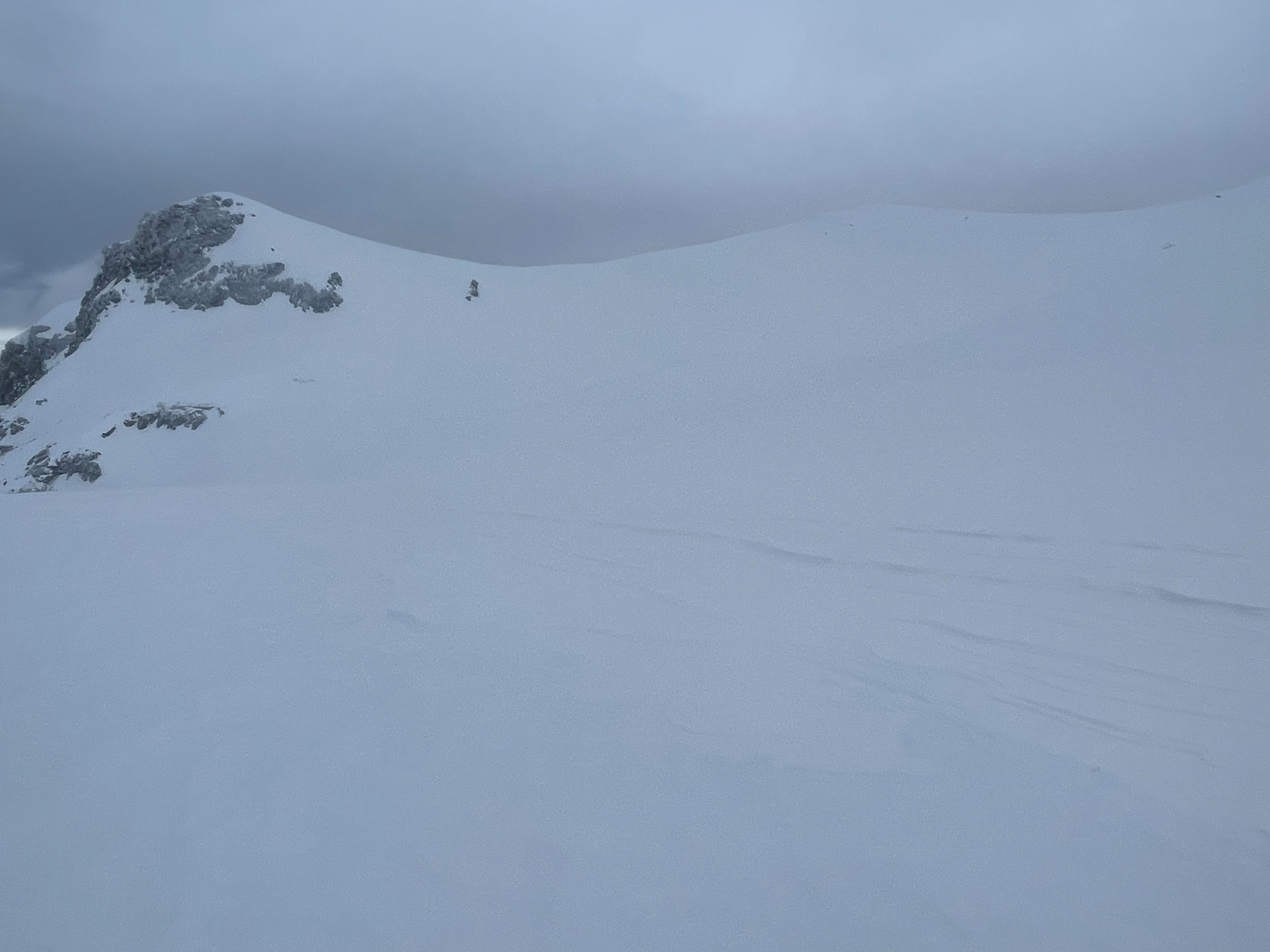
Snow surfaces are extremely patchy above treeline. The moderate-strong southeast winds have stripped east facing terrain, and deposited the snow onto westerly aspects. The combination of wind loaded snow and the bullet hard melt-freeze crust underneath suggests the existence of reactive wind slabs. That being said, the observed wind drifts were isolated by large sections of exposed ice, and the drifts that did exist were unreactive to trigger.Weather
- Air Temp
- 25
- Cloud Cover
- obscured
- Wind Loading
- moderate
- Recent Snowfall
- 10
- Snow Avail For Transport
- moderate amounts
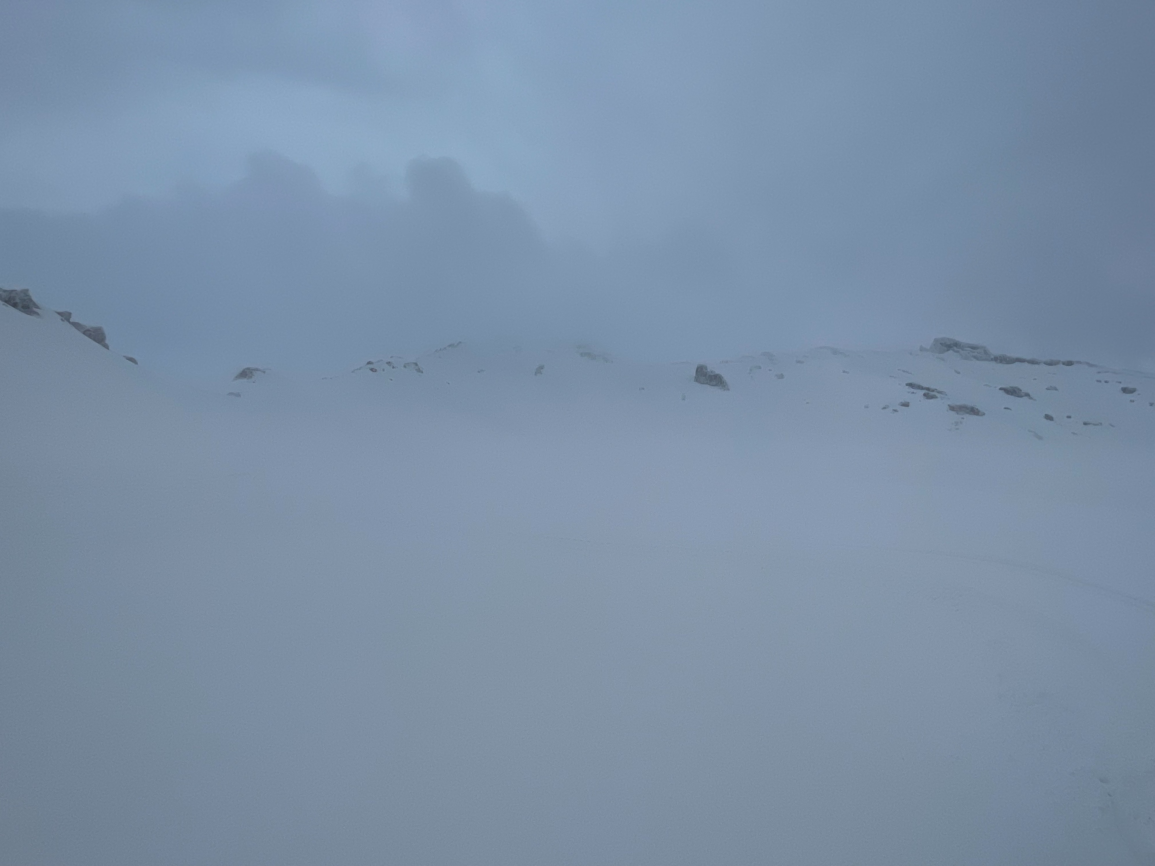
Today's weather was defined by heavy cloud cover, high humidity, and moderate-strong southeast wind above treeline. Despite the storm overhead, no precipitation fell during today's outing. An average of three to five inches accumulated in the early morning. Temperatures were mostly below freezing, with the freezing level around 7,000 feet. Wind transport of new snow was consistent above treeline.
Snowpack
As of midafternoon, three to five inches of new snow has accumulated on the old snow. Westerly aspects hold up to 12 inches with the help of wind loading. Lower elevation terrain did not experience a hard refreeze last night, creating punchy and soft conditions at below and near treeline. Below 7,500 feet, boot penetration is around 12 inches or more. Above 7,500 feet, the old melt-freeze crust becomes supportable and firm, creating a boot penetration of three to four inches.
Below treeline, wind speeds are mostly calm and unnoticeable. Above treeline, the moderate-strong southeast wind kicks in, quickly affecting snow surfaces on all exposed slopes and ridges. Easterly aspects have been stripped down to an icy glaze of the melt-freeze crust. Westerly aspects have been become wind loaded below ridge lines.
Avalanche
No avalanches were observed.