
Quick report
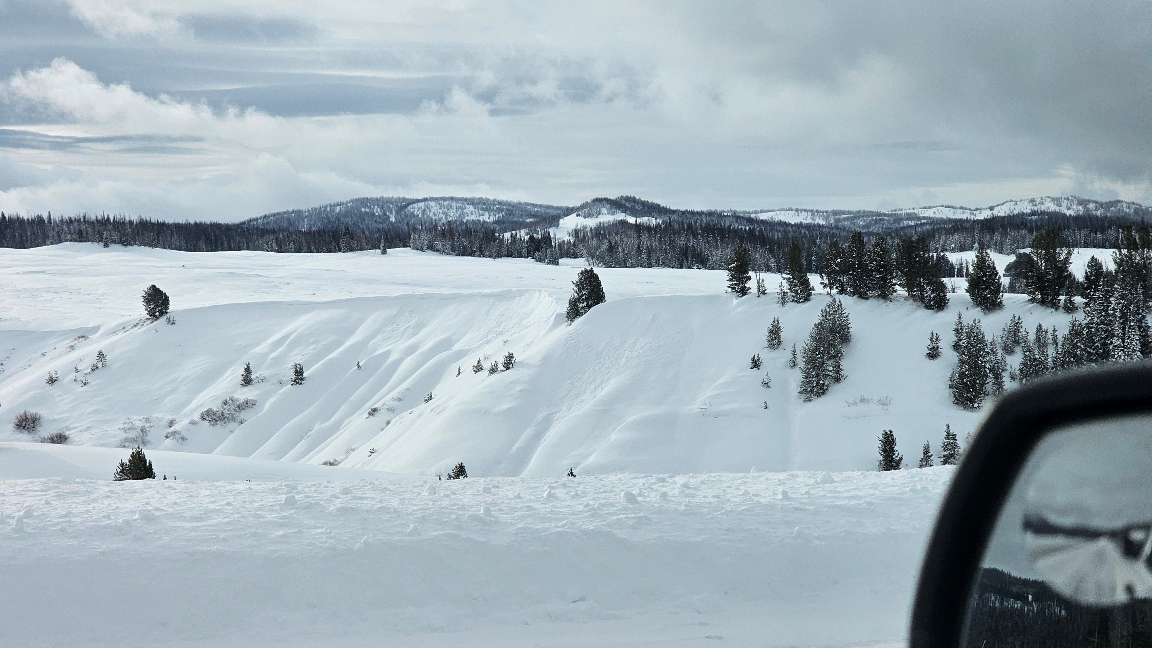
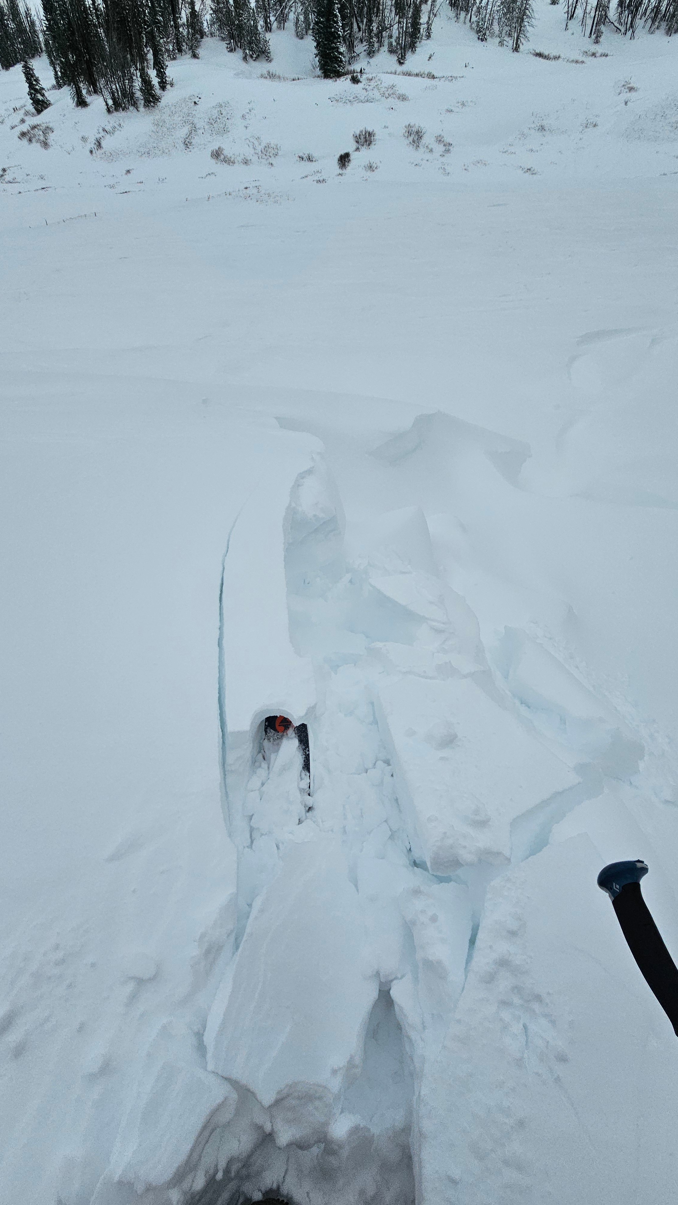
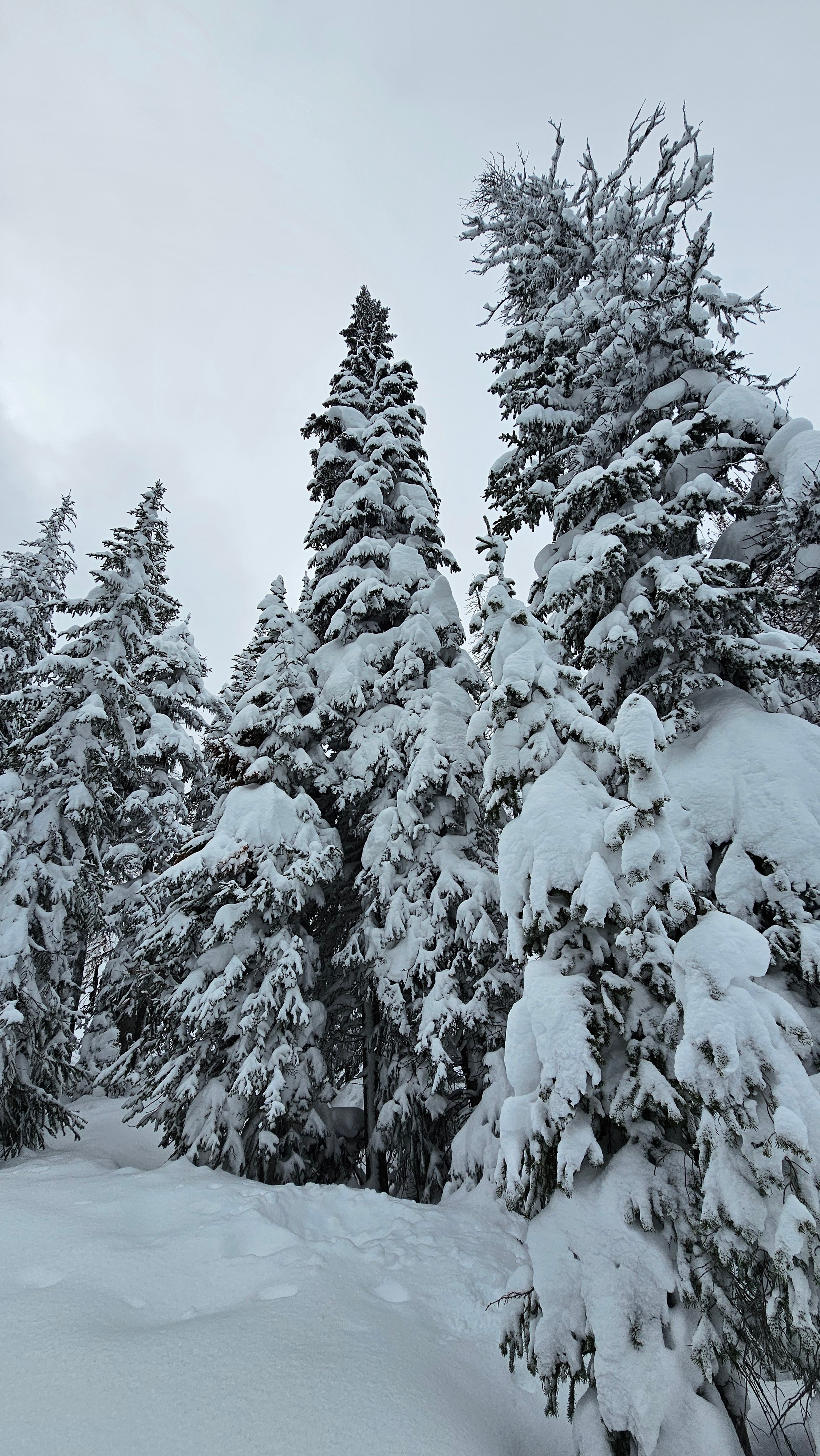
It was a moody day on Togwotee Pass. The recent storms have made it look a lot more like winter. I noted multiple avalanches that have happened since this last storm cycle. The only one that happened in the last 24 hours was a bit of an outlier and happened on a repeater slope. As time goes on major red flags, such as cracking and collapsing become fewer and further between, but buried weak snow still exists.
Riding conditions are slowly improving, but stumps and rocks are still lurking just below the snow surface.
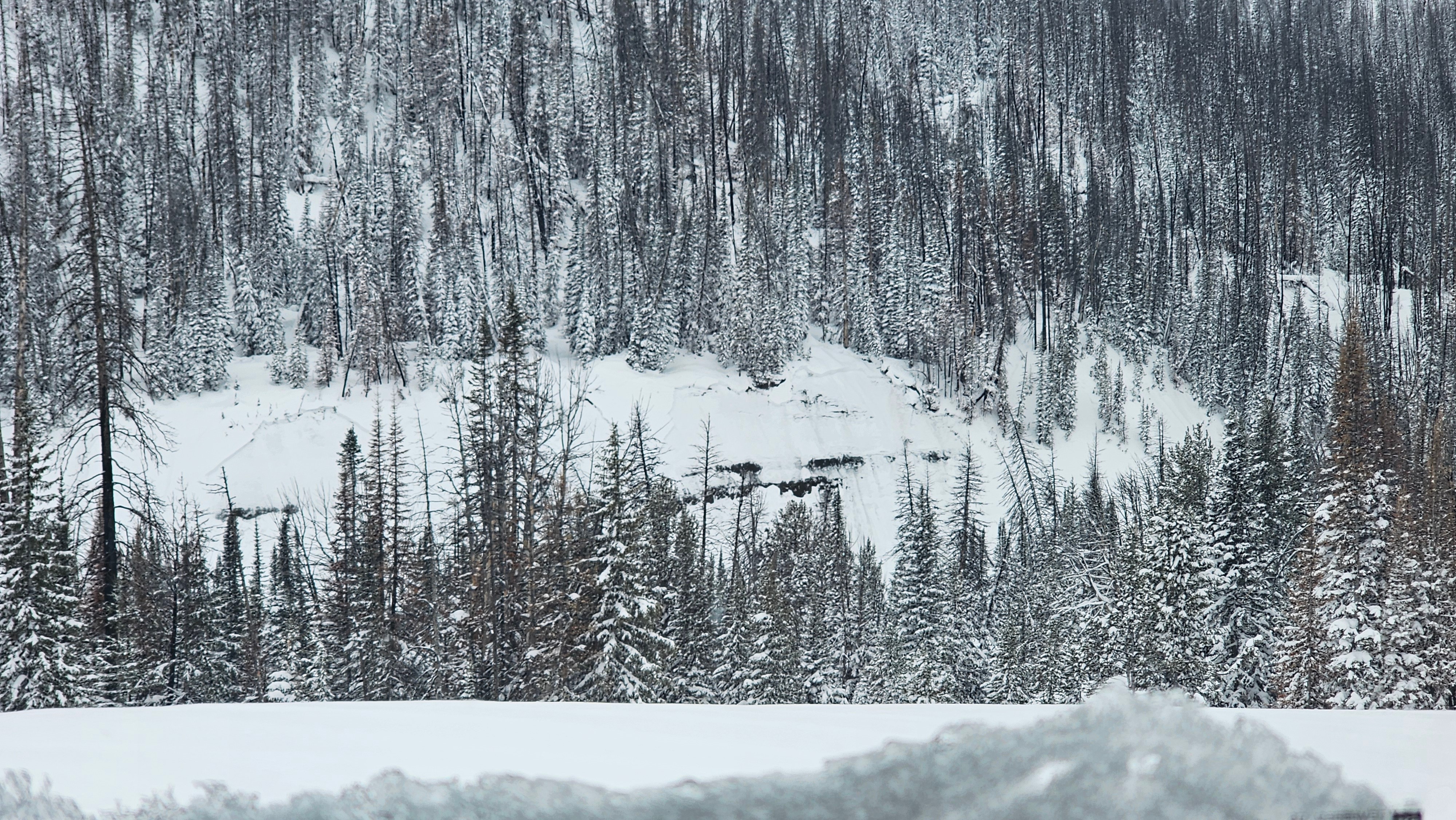
While walking around I did not feel any cracking or collapsing. I noted one avalanche that likely happened today on a repeater slope and numerous avalanches that likely happened in the last 3 days, these were mostly filled in with wind transported snow. Overall signs of instability were not in your face.Weather
- Air Temp
- 25
- Cloud Cover
- overcast
- Wind Loading
- moderate
- Recent Snowfall
- 6
- Snow Avail For Transport
- large amounts
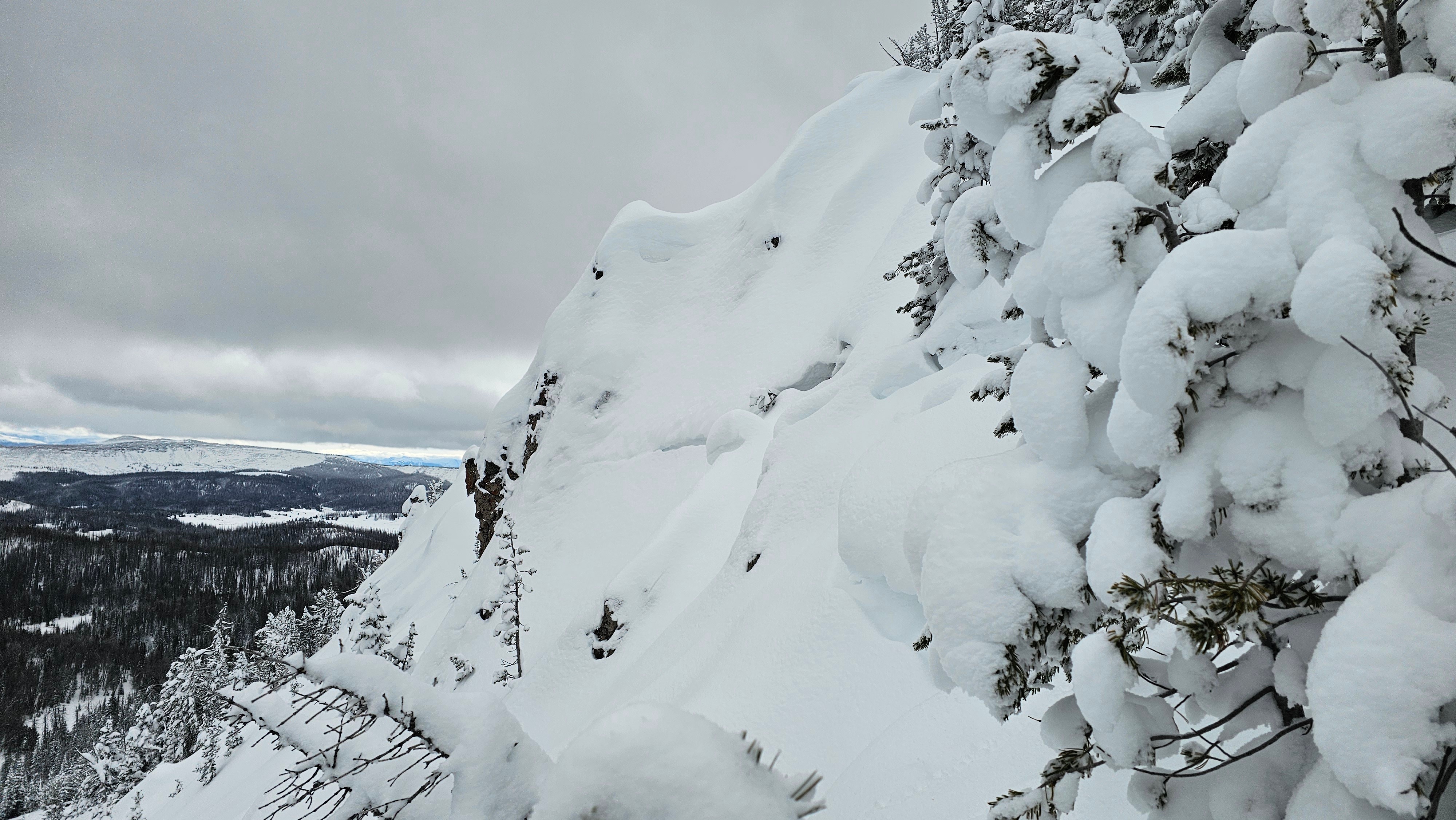
Windy conditions near Togotee Pass. Temps were above freezing at low elevations. Mid-day temps at the pass where in the upper 20s and started to come down through the afternoon. A cloud layer was passing over at around 11,000' putting rime on the high peaks.
Snowpack
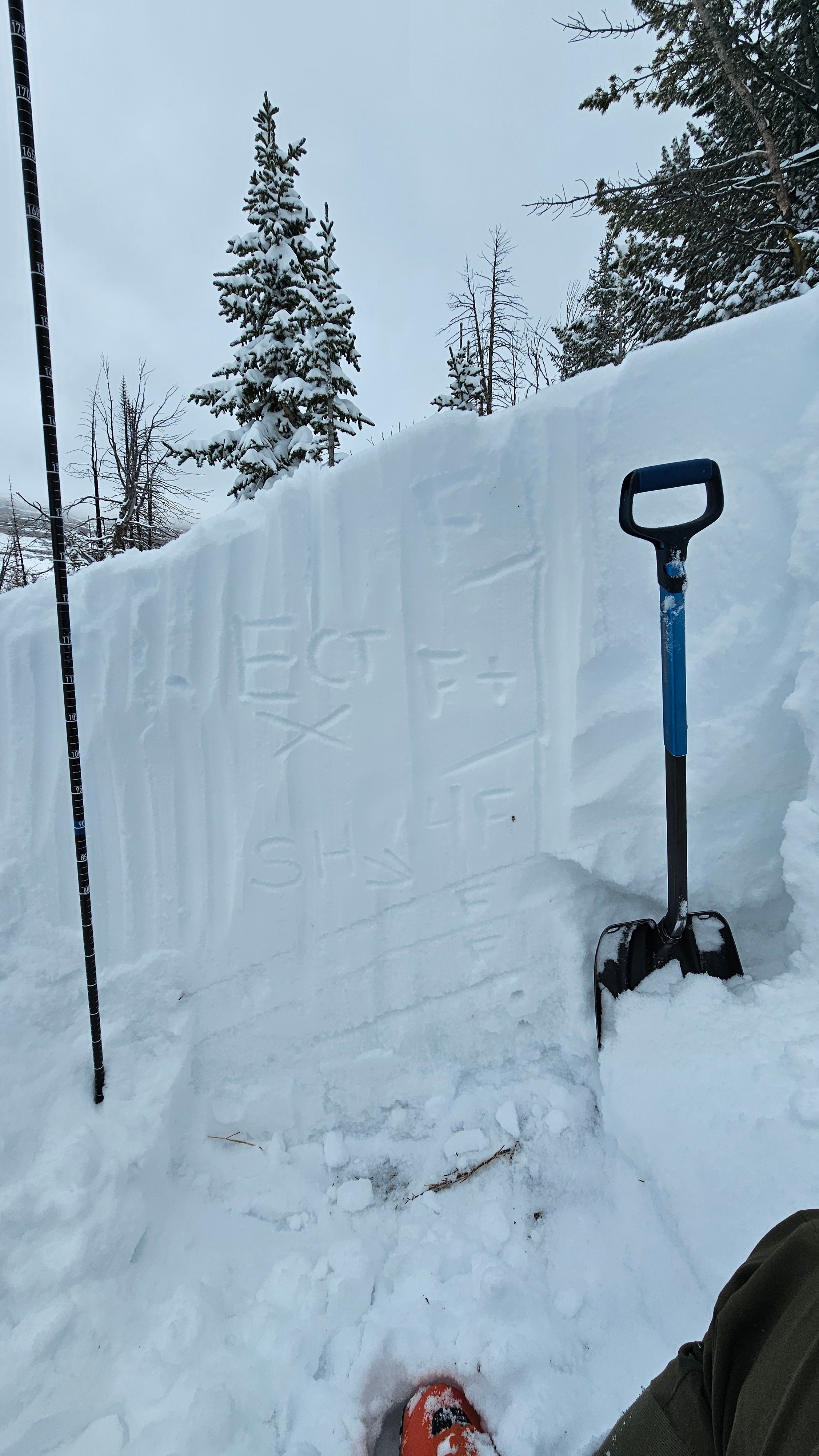
The snowpack seems to have adjusted to the load put on it by the recent storm. I did not get any propagting results in my extended column tests. The buried surface hoar is present but seems to be adjusting well. My current layer of concern is the new/old interface buried around Thanksgiving. But with additional snow and water weight I could see these layers that have adjusted coming back to life.
Avalanche
- Size
- D1.5 R2
- Type
- SS
- Count
- 2
- Aspect
- NE
- Elevation
- 10200 ft
This avalanche looks like it happened Friday night/Saturday morning during high storm intensity. Mostly filled back in now.