
Quick report
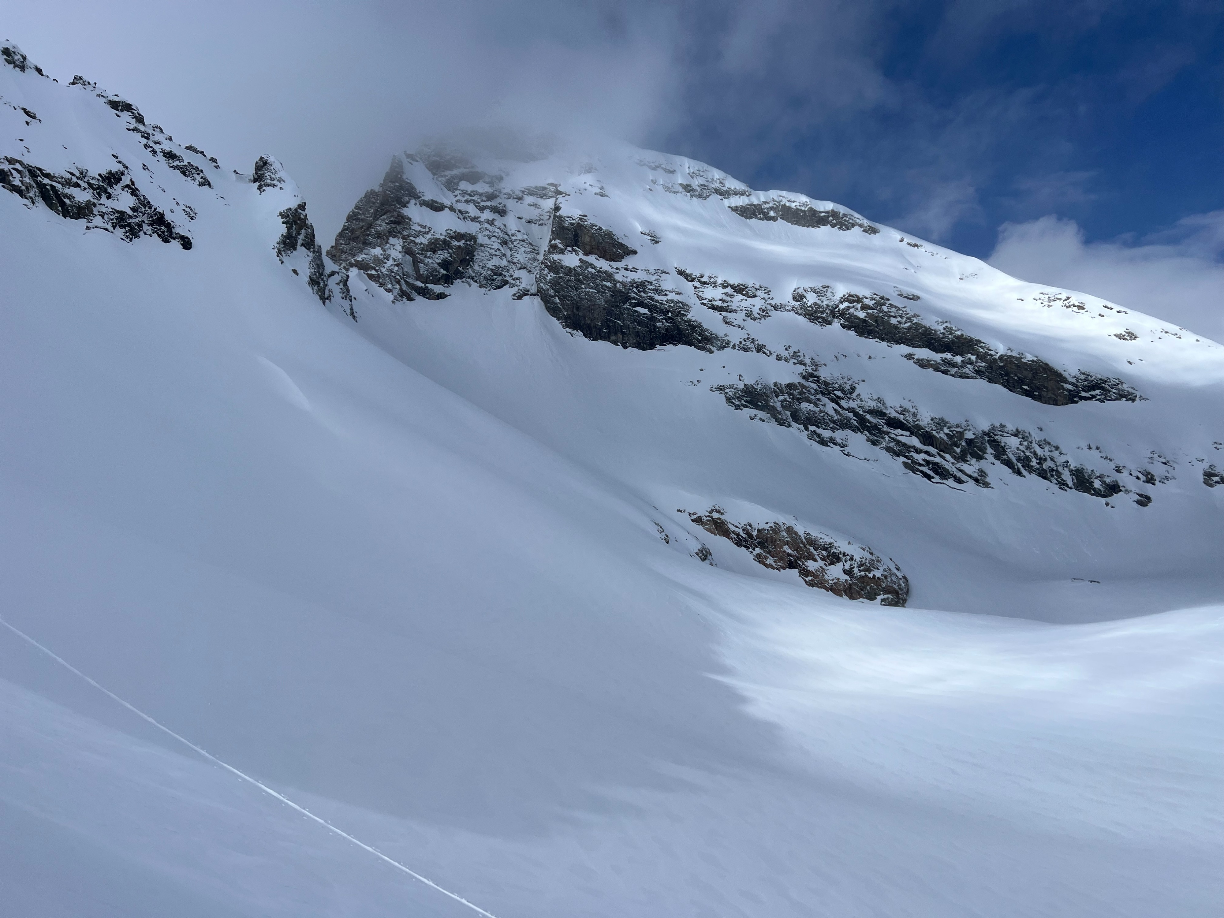
3-6" of new snow in the lower to upper elevations, dust on crust character. Light westerly wind with no wind affect or slab development up to the forecast boundary of 10,500' in alpine terrain. Widespread supportable crusts lie below the new snow on all aspects and elevations besides straight north in the middle to upper elevations. The firm crust below new snow softened around 10,000' on east and northeast aspects (not southeast). New snow was moving easily and quickly on steep terrain over 35 degrees where the crust exists. Watch out for new snow sloughing in consequential terrain, certainly a threat in confined features like couloirs. Overcast skies in the morning becoming clearer and broken in the afternoon. Solar radiation was strong now that March is upon us. Low density new snow from yesterday settled and warmed quickly once exposed to the sun. Warm temperatures and high humidity today.
Time will hopefully help the new snow bond to the crust, but keep this poor interface (new to old snow) in mind until it improves.
Sloughing and dry loose on steep terrain was the only new snow instability observed.