
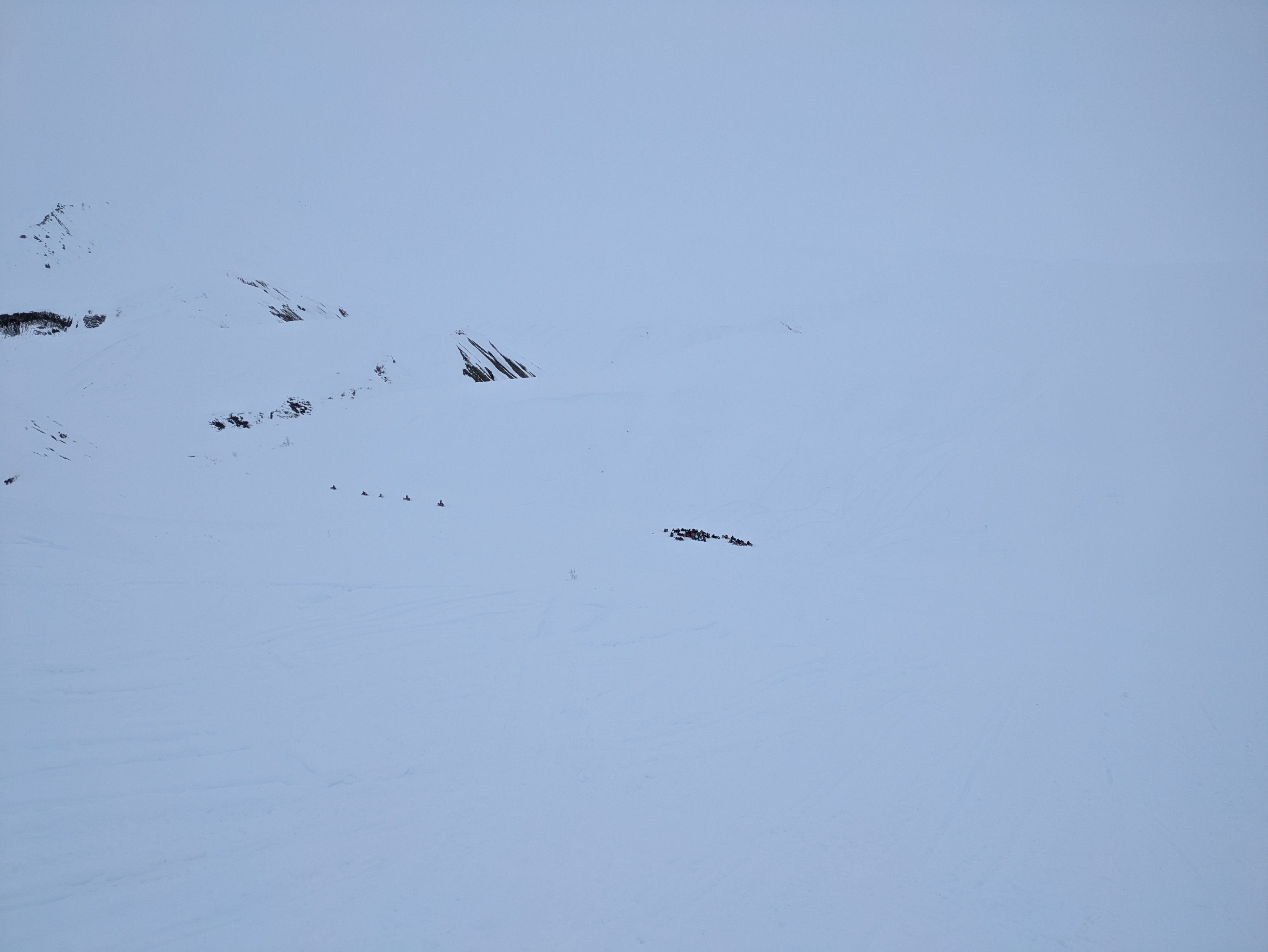
Quick report
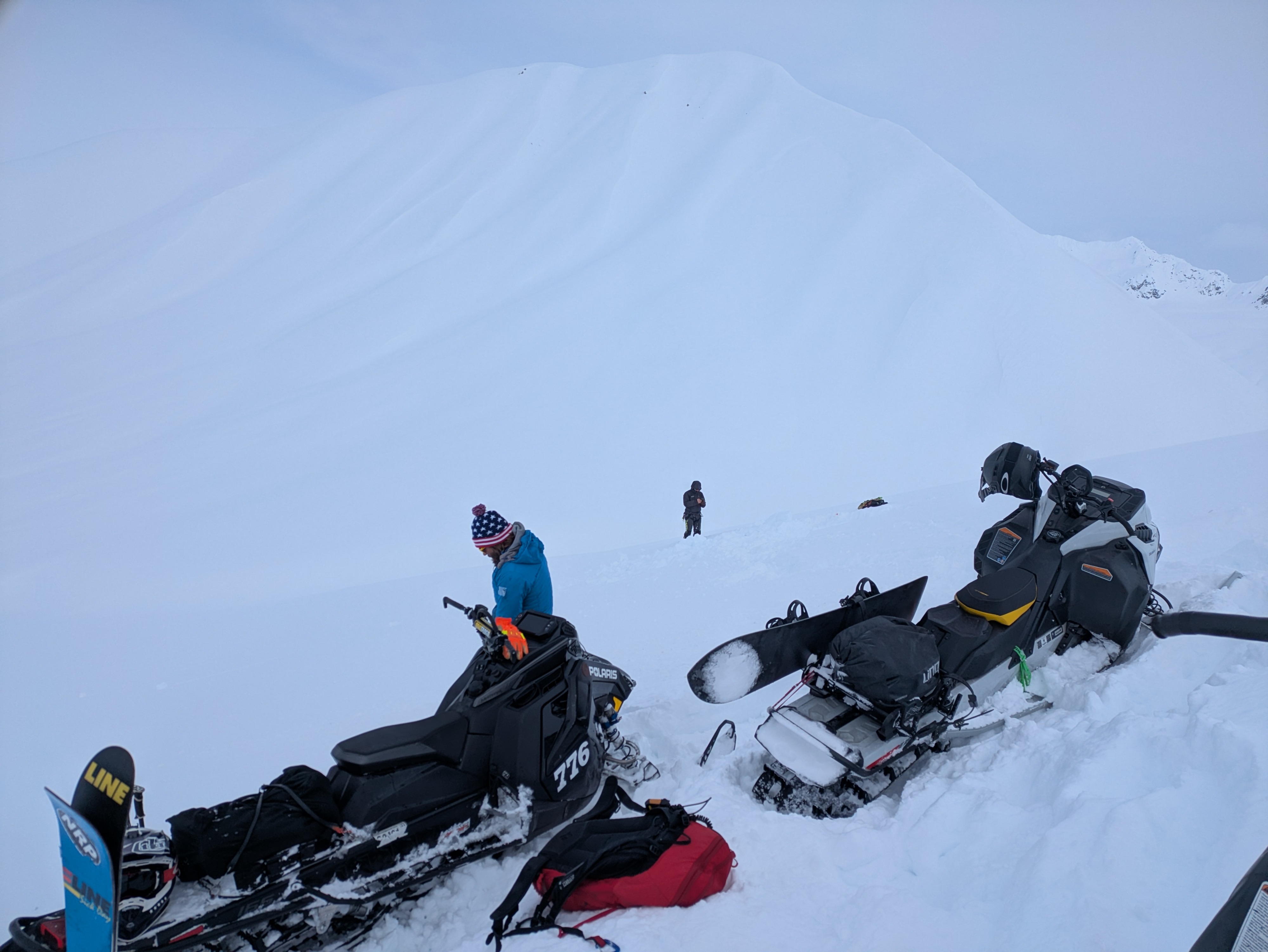
With less snow than college drainage the new snow is less reactive in the areas we traveled today. Keep an eye out if you notice the new fresh snow is deeper where you go as you may run into the same avalanche formula as the ones in College but should remain smaller unless wind loaded.
Where we traveled by the Tit the deeper weak layer may be harder to trigger but could result in a consquential slide.
With the new snow and moderate winds today there is defintly transport occuring so watch our for wind loading areas.
The top layer of new snow was less reactive than what we saw in College Glacier yesterday, but several weak layers exsist between that and the main problem discussed below.Weather
- Air Temp
- 20
- Cloud Cover
- overcast
- Wind Loading
- moderate
- Recent Snowfall
- 1
- Snow Avail For Transport
- moderate amounts
Overcast day with steady winds coming from the South in the morning then switching from the North in the afternoon and flat light.
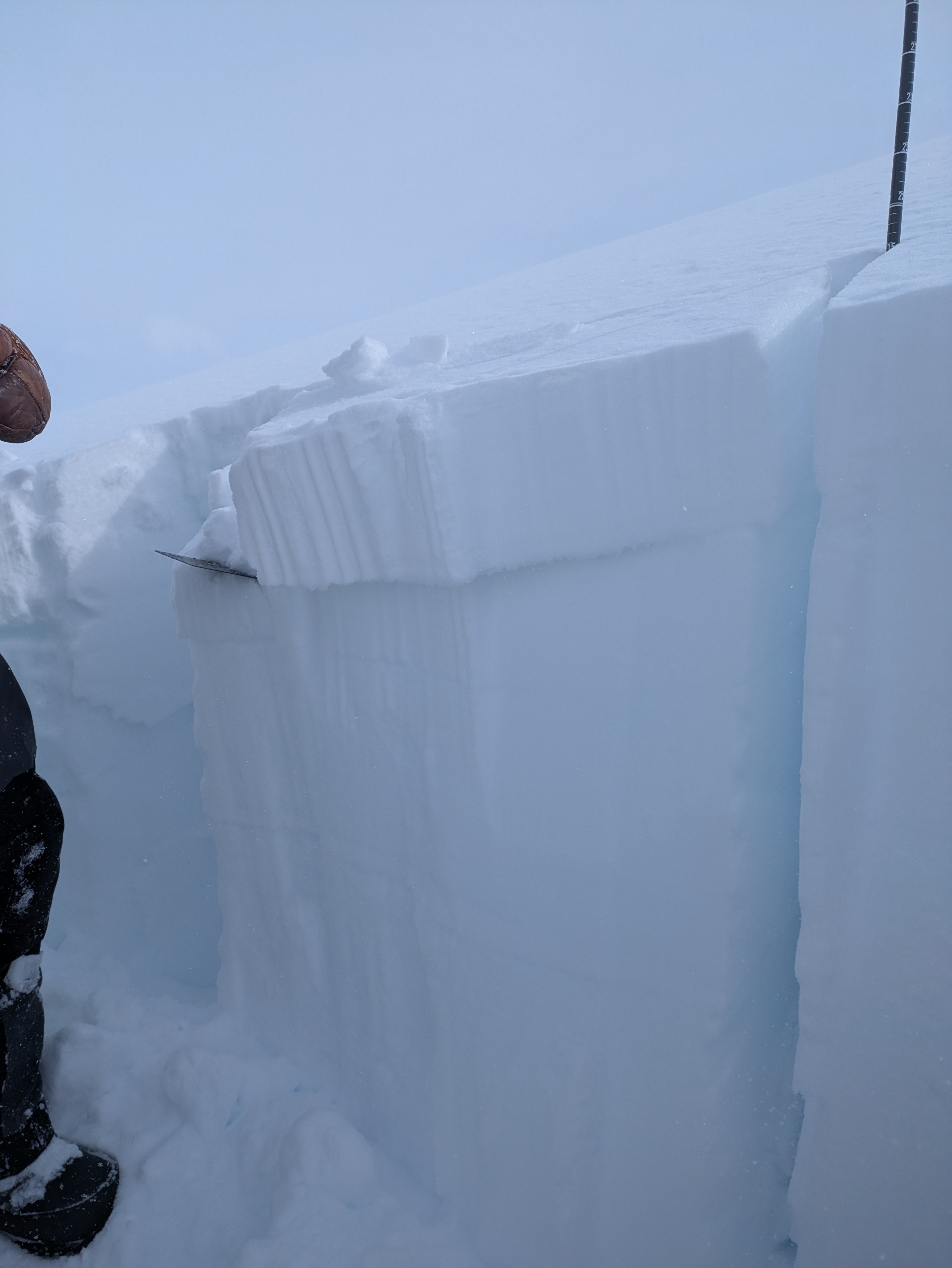
Snowpack
We had about 15cm of new snow that was breaking in tests but not propagating. A deeper weak layer of facets above an obvious crust was propagating ECTP27 @60-65cm down. This weak layer was taking more energy to move but could cause a bigger avalanche. It is easy to identify as it is just above the main crust layer in this area. We found with weak layer on both North and South Aspects.