
Quick report
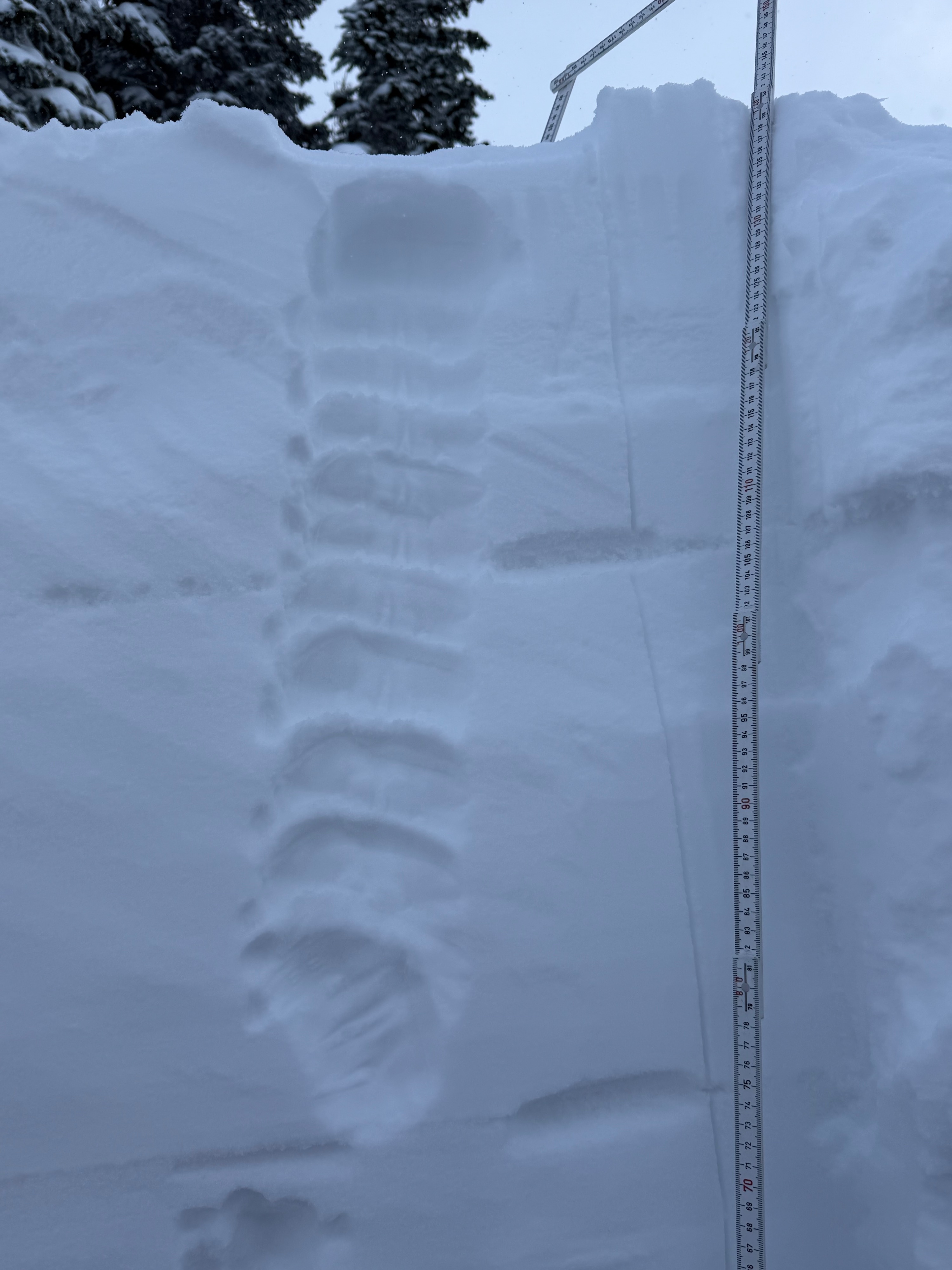
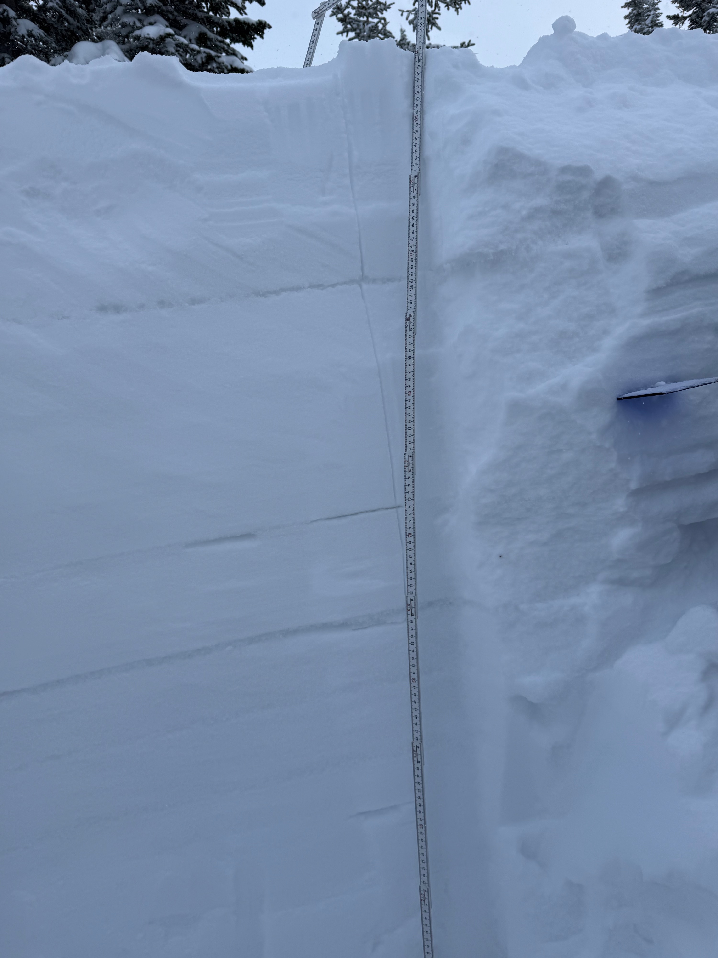
The snowpack is right side up. Fortunately, our recent snows proved to be a higher moisture content, than previous storms, creating enough cohesion and weight, that it wasn’t very reactive with our instability tests. We had hoped that it would somewhat compress our Tuesday Crust, from our February warm up, and it appears to be doing just that. There is still a thin layer of facets about 1/3 the way down, in the snowpack, our Tuesday layer, but it proved to be quite stubborn to our tests on the NE aspect. However this doesn’t mean it won’t be more sensitive say on a Northern slope or more Easterly face. With that being said, we cannot rule out the possibility for a Persistent Slab Avalanche, given the right ingredients, aspect, slope angle, and trigger points. So, caution shouldn’t be thrown out the window just quite yet. This type of avalanche is highly unpredictable and can be extremely dangerous. Moving forward, there is a small layer of buried surface hoar, about 1ft down, that we will monitor as we get more snow.
Weather
- Air Temp
- 5
- Cloud Cover
- obscured
- Wind Loading
- light
- Recent Snowfall
- 50
- Snow Avail For Transport
- large amounts
Snowpack
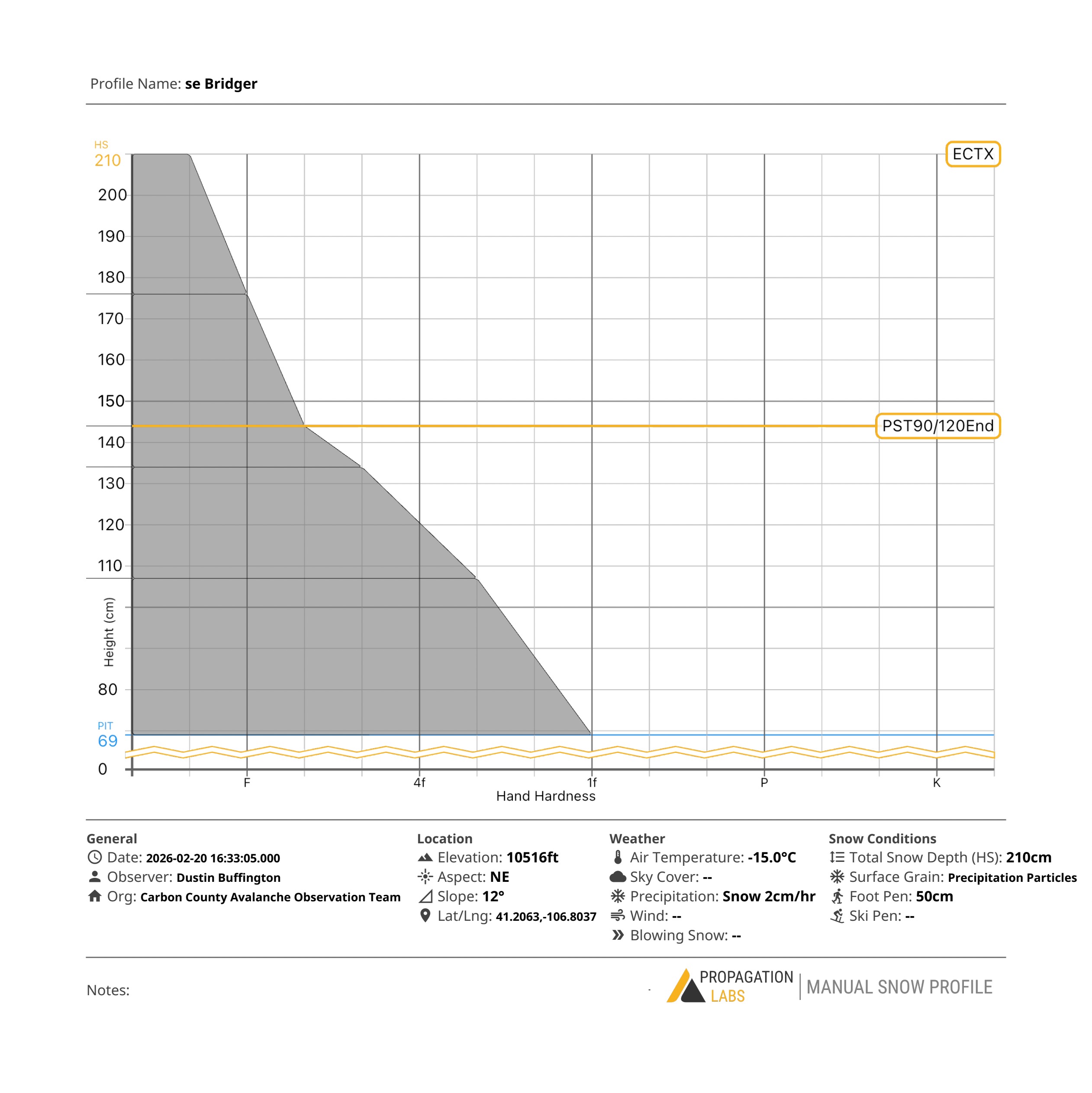
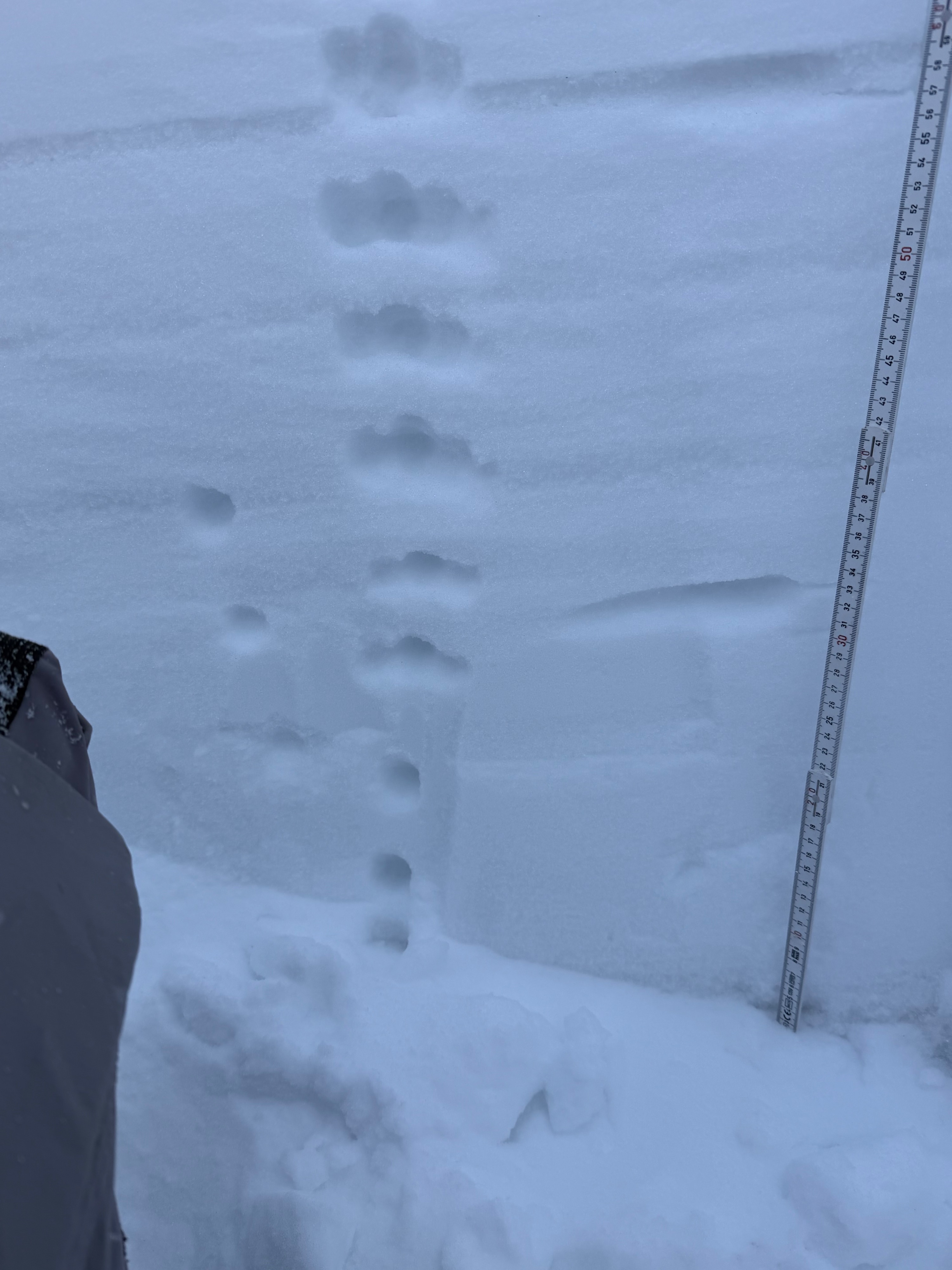
Our test location was on a NE Aspect at 10,516’. The total snow depth in this area was 210-220 cm. Our test pit depth was dug to 141cm, ending on top of the Christmas Crust. Our test results, fortunately yielded minimal results with an ECTX and a PST90/120 END Our Tuesday layer remains in the snow pack about 1/3 the way down and still consists of a thin sun crust followed by faceted snow, about .5-1cm thick. This remains our area of concern.