
Quick report
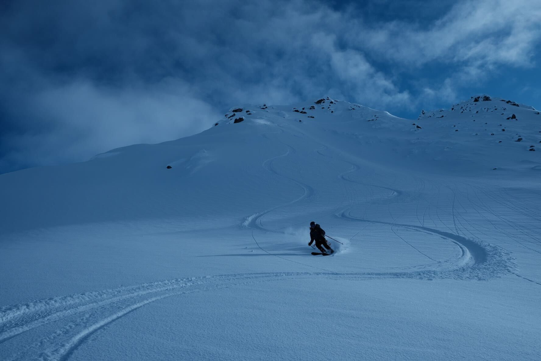
A deep snowpack blanketed this area with minor changes in snowpack variability as you changed elevation on N-NW aspects. No visible recent wind loading and minimal winds from the last snowfall made surface conditions very consistent. Continued to use terrain to our advantage while traveling to reduce exposure and dug numerous hand pits as the snowpack changed underfoot.
Viewed one recent solar-triggered D2 slab on a SE aspect at 4,000ft.Weather
- Air Temp
- -5F to 10F
- Wind Loading
- none
- Recent Snowfall
- 25-100cm
- Snow Avail For Transport
- moderate amounts
Overall trending clear with light north winds on Saturday mostly at ridge tops. Cold temperatures overnight lows of -5F and warmest temperatures mid-day Sunday around 10F.
Snowpack
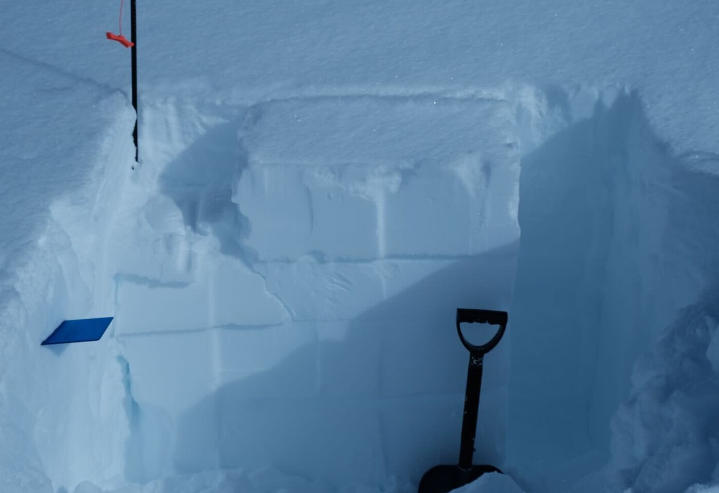
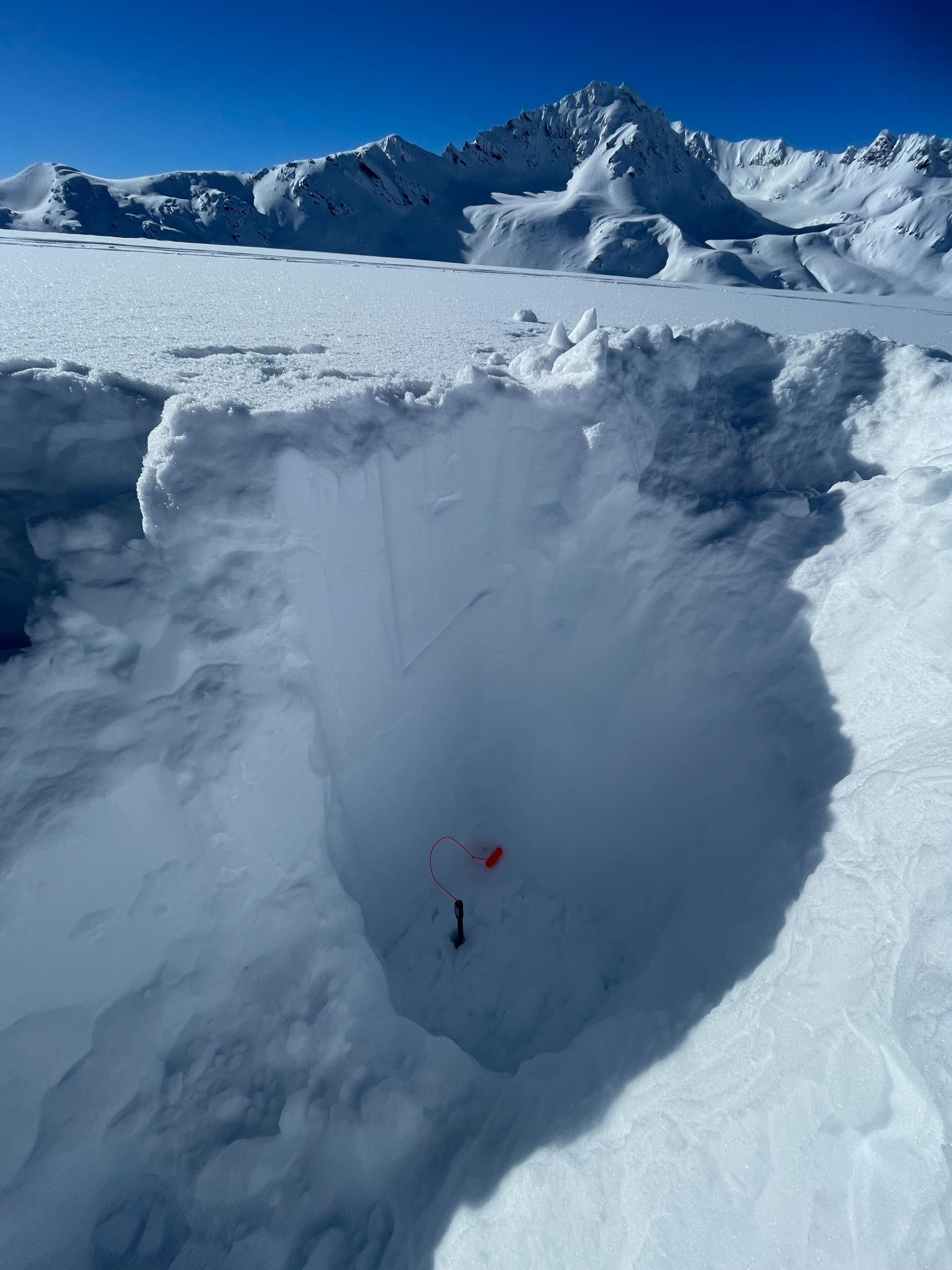
-Total snowpack height was 420cm at 4,500ft on a N aspect. The top layer was 25cm of well-preserved stellars and near surface facets over a supportable layer below.
-In the top 60cm two interfaces on a SW-aspect at 4,500ft propagated with moderate force in a progressive compression manner. Then on an N-aspect at 4,000ft, there was no propagation at ECTX.
-Overall the new snow had no wind effect only the occasional area that would feel more compacted, or slabby. Solar aspects on due south, or below 4,000ft were warming and re-freezing from the sun and had sun affected layer below the new snow.
Avalanche
Viewed a variety of old D2 activity from Feb 26-28th avalanche cycle above 4,000ft, with one D3 on a W-aspect at 5,000ft. Numerous older D1 point releases on solar aspects.