
Quick report
- Cracking
- widespread
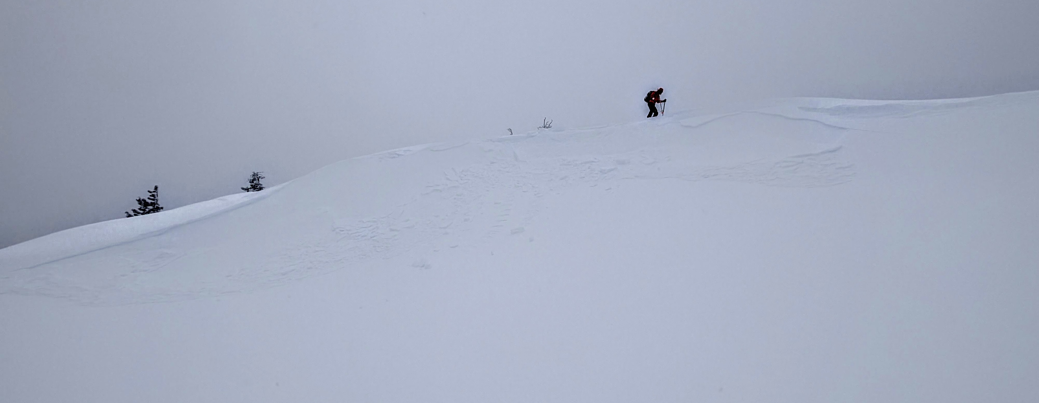
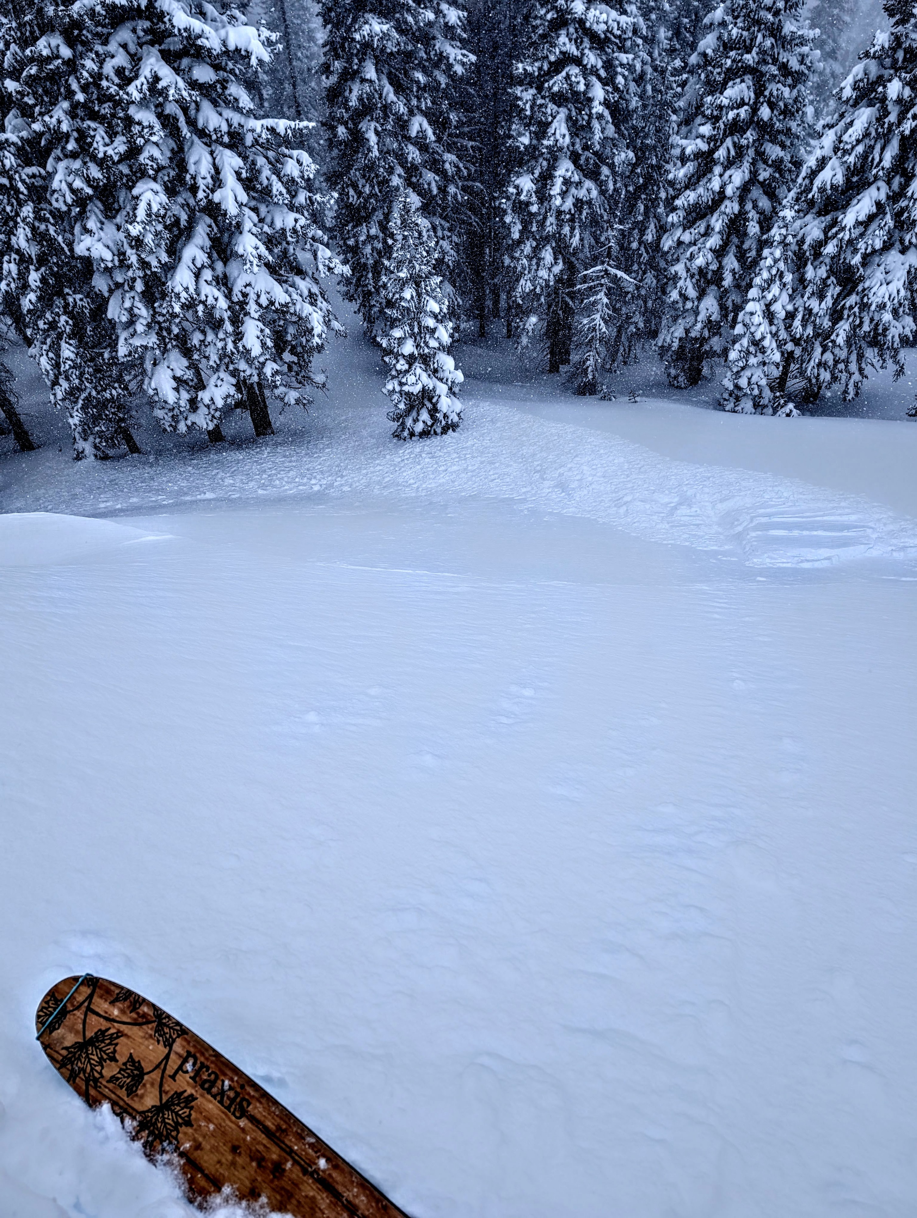
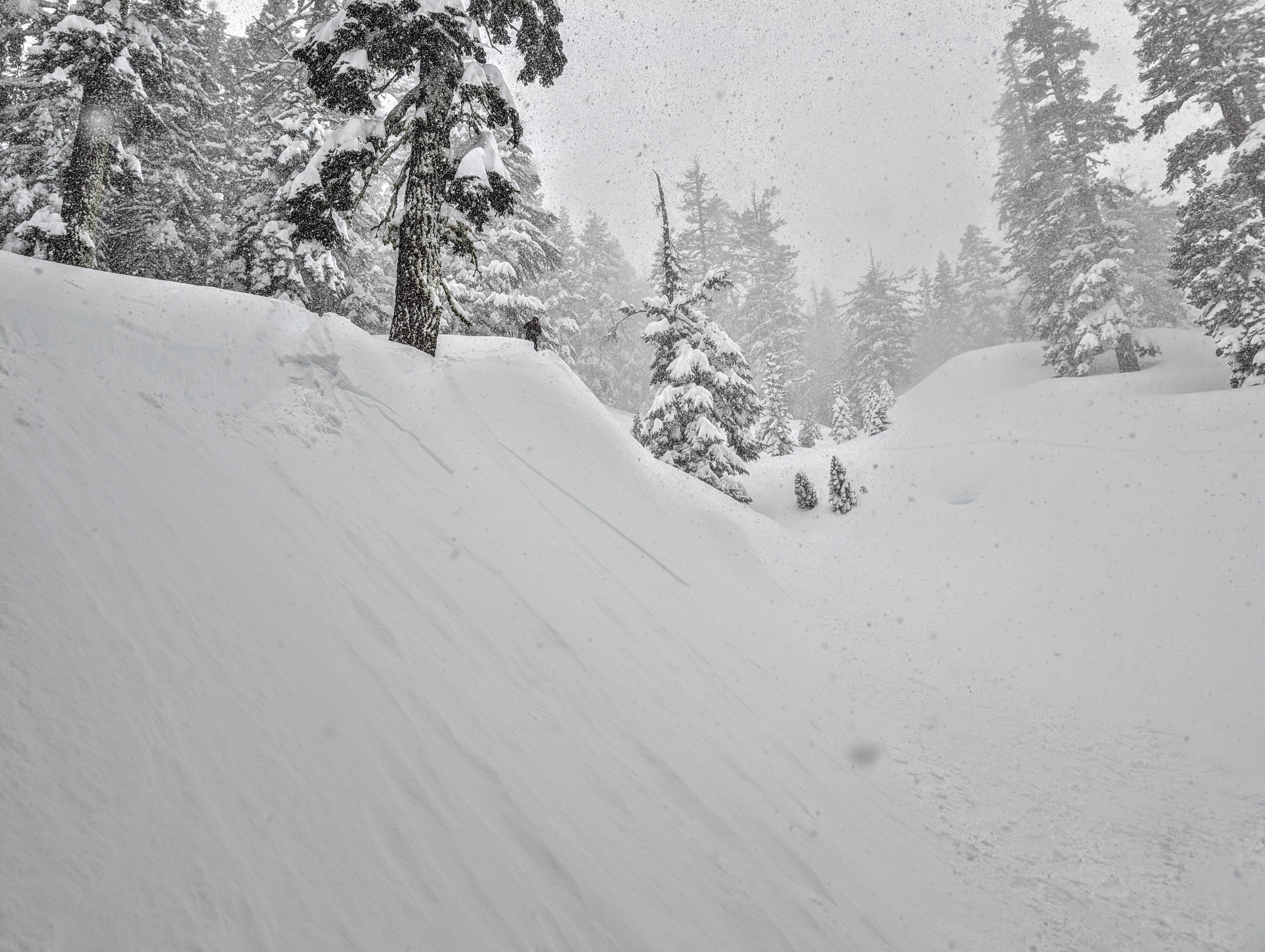
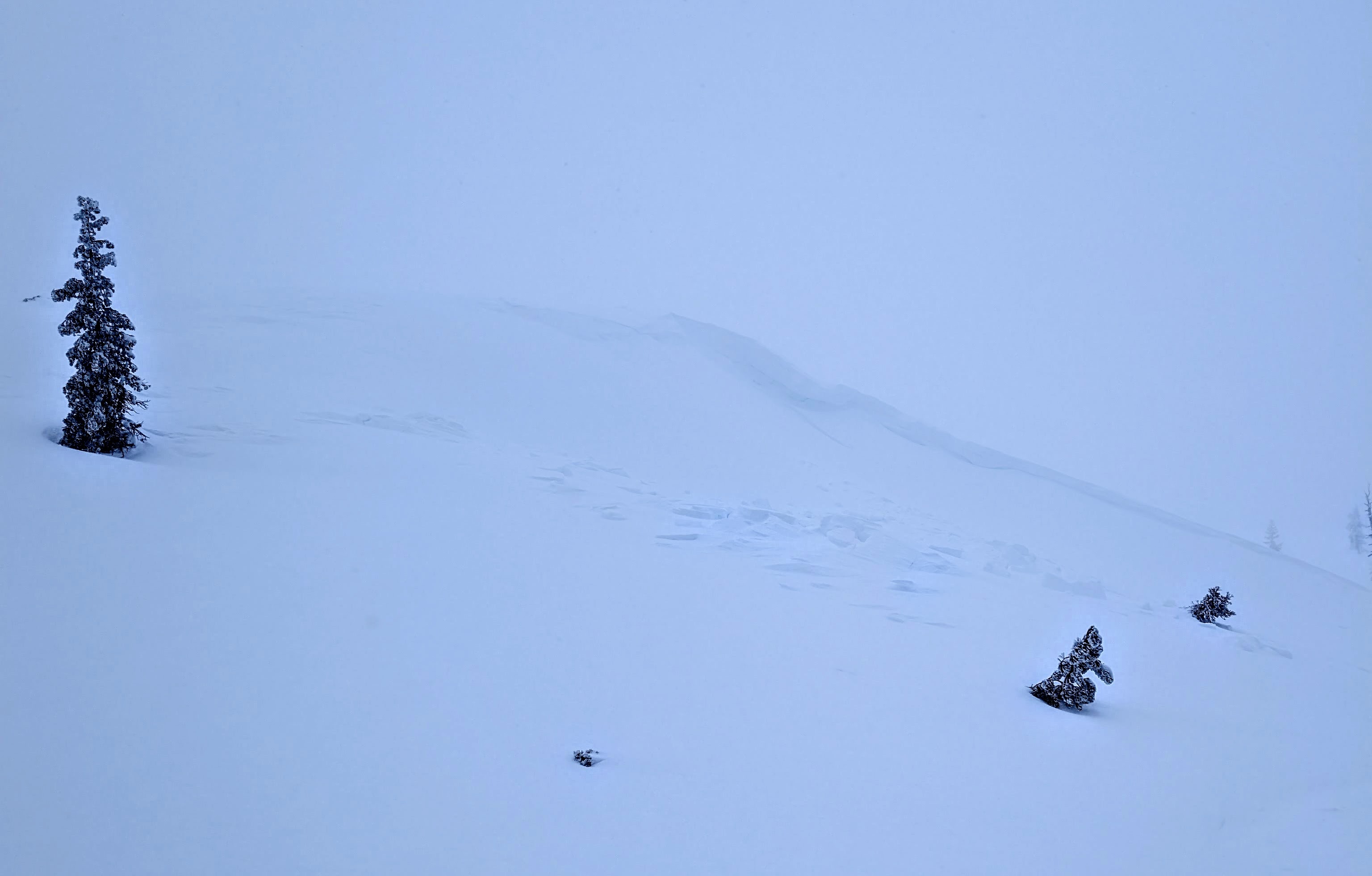
Snowfall and wind picked up again today, and heavy snow (2in/hr) and strong winds caused poor visibility during our tour. Overall, 20 to 30 inches of new snow has fallen in this area since the start of the storm. Variations in snowfall rates, temperatures, wind, etc, during the storm created heavy and light layers of storm snow that we could feel under our feet and with our poles. Even though the new snow remained mostly unconsolidated in sheltered terrain, we still saw several signs of unstable snow in both sheltered and wind-affected terrain, including:
- Test slope failures and small avalanches that propagated widely across slopes on various aspects and elevations (wind and storm slabs). We remotely triggered some of these from nearby lower-angle terrain.
- Fragile cornices that broke easily as we approached them. When the cornice pieces fell on the slope below, they triggered failures on those slopes.
- Shooting cracks of various lengths that failed at different depths. Some of them failed on graupel above a crust at the base of the storm snow.
- Natural avalanches from the last 24 hours.
- Sluffs of dry loose snow on steep slopes in sheltered terrain.
Weather
- Cloud Cover
- overcast
- Wind Loading
- intense
- Recent Snowfall
- see text
- Snow Avail For Transport
- large amounts
Since the start of this storm, approximately 20 to 30 inches of new snow has accumulated in the Donner Summit area. Today another 4-6 inches of new snow fell while we were on Andesite between 9:30 am and 1 pm.
Avalanche
- Size
- D1 R4
- Type
- SS
- Count
- 3
- Aspect
- E
- Trigger
- AS
- Elevation
- 8100 ft
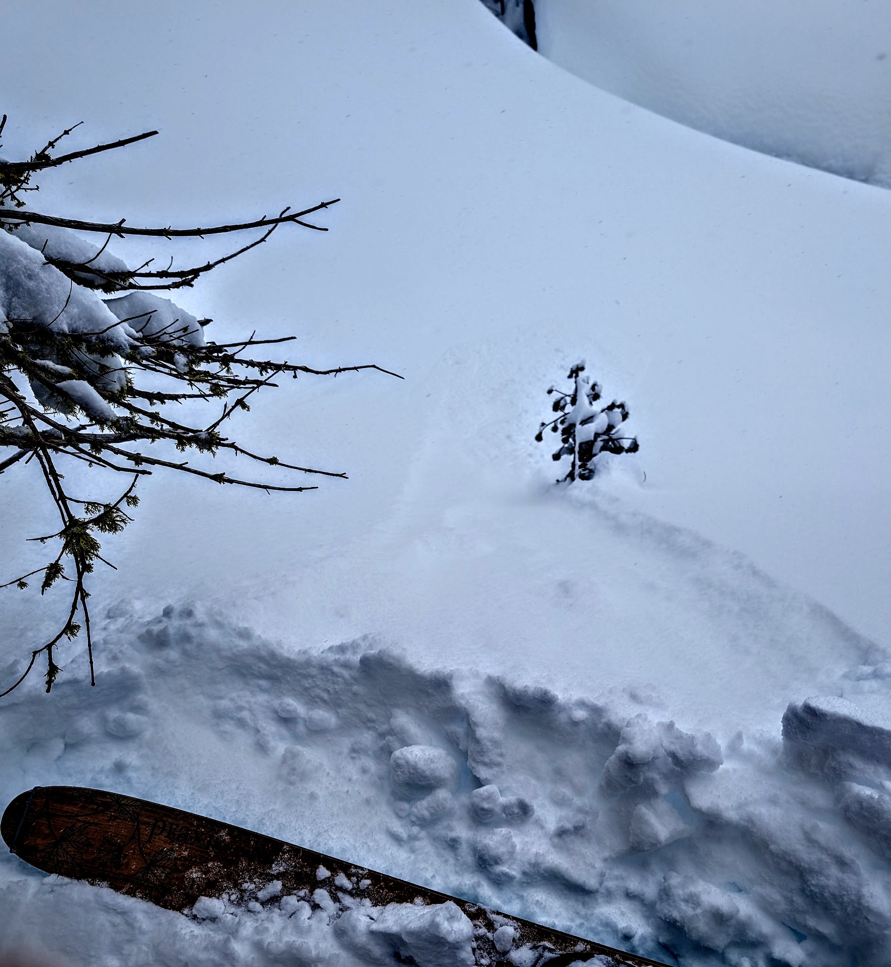
A ski kick and small (microwave-sized) cornice piece falling onto this NE-E facing test slope near the summit of Andesite Peak caused this wind slab failure.