
Quick report
- Cracking
- specific
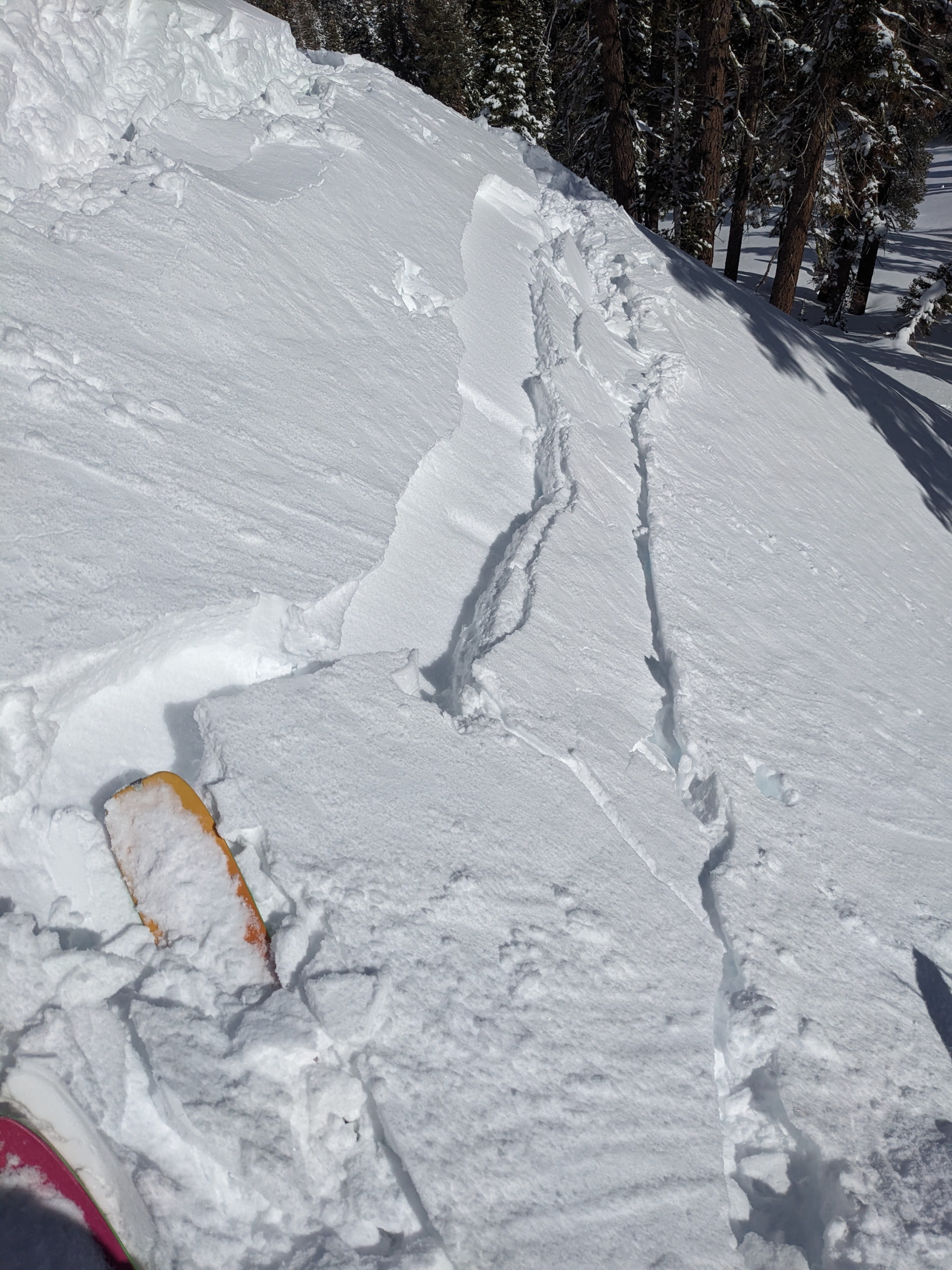
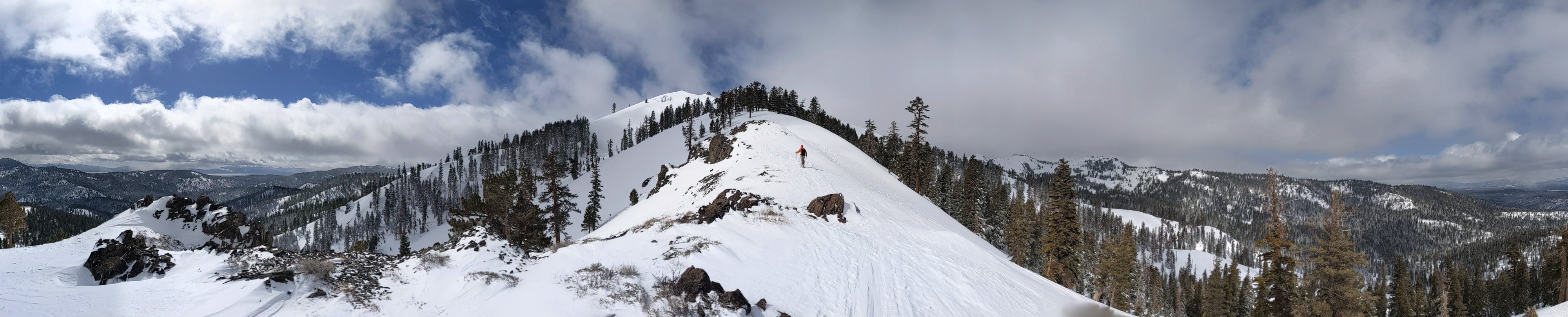
A couple of inches of dense snow at the trailhead quickly turned into 4 to 6 inches of new snow by the time we climbed above 6500 ft. Above 7200 ft last night's storm had deposited 6 to 8 inches of fresh snow. As we climbed, we stopped to investigate the bonding between the new snow and the snow below it on a variety of slopes. We got a shallow wind slab to crack on one test slope after we undercut the test slope. We also had a few spots of minor cracking in the storm snow while we skinned, but we did not observe any loose snow sluffs.
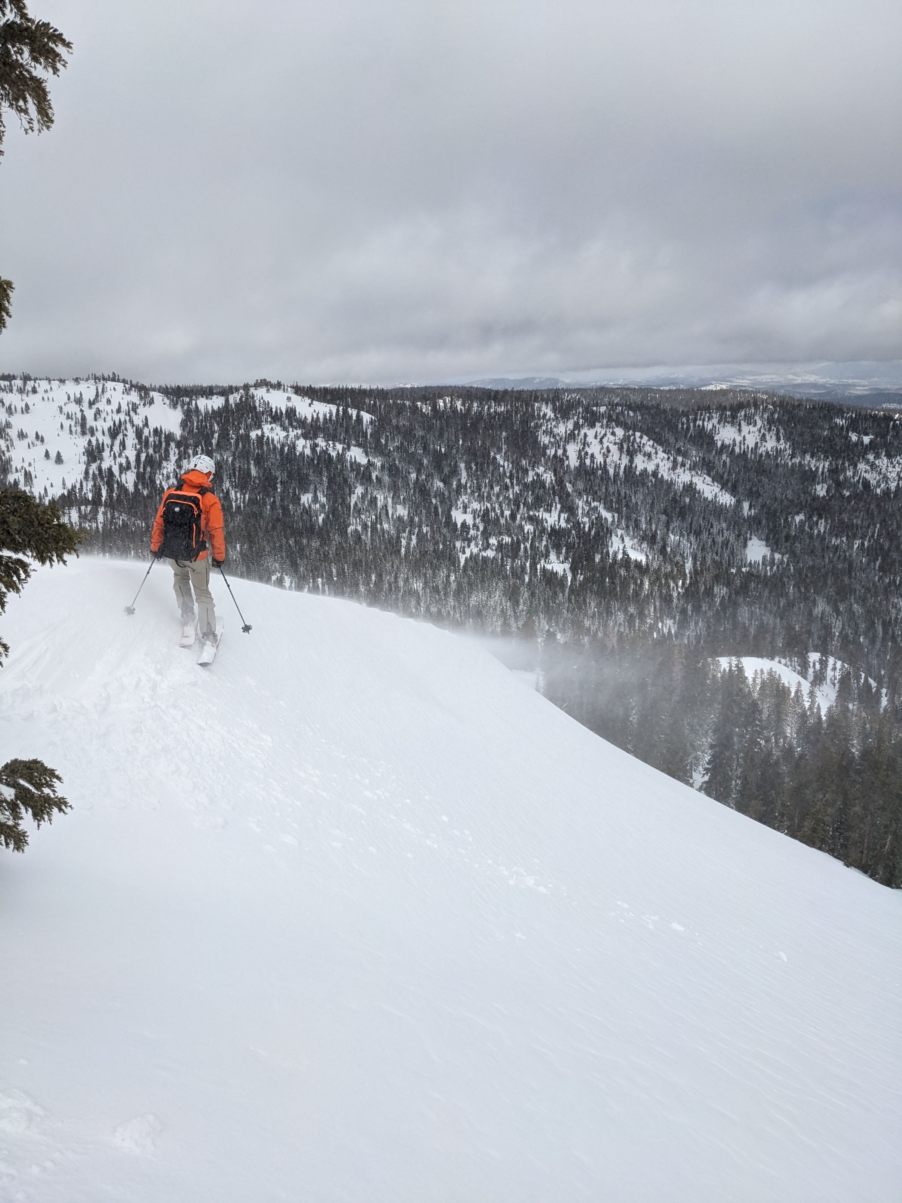
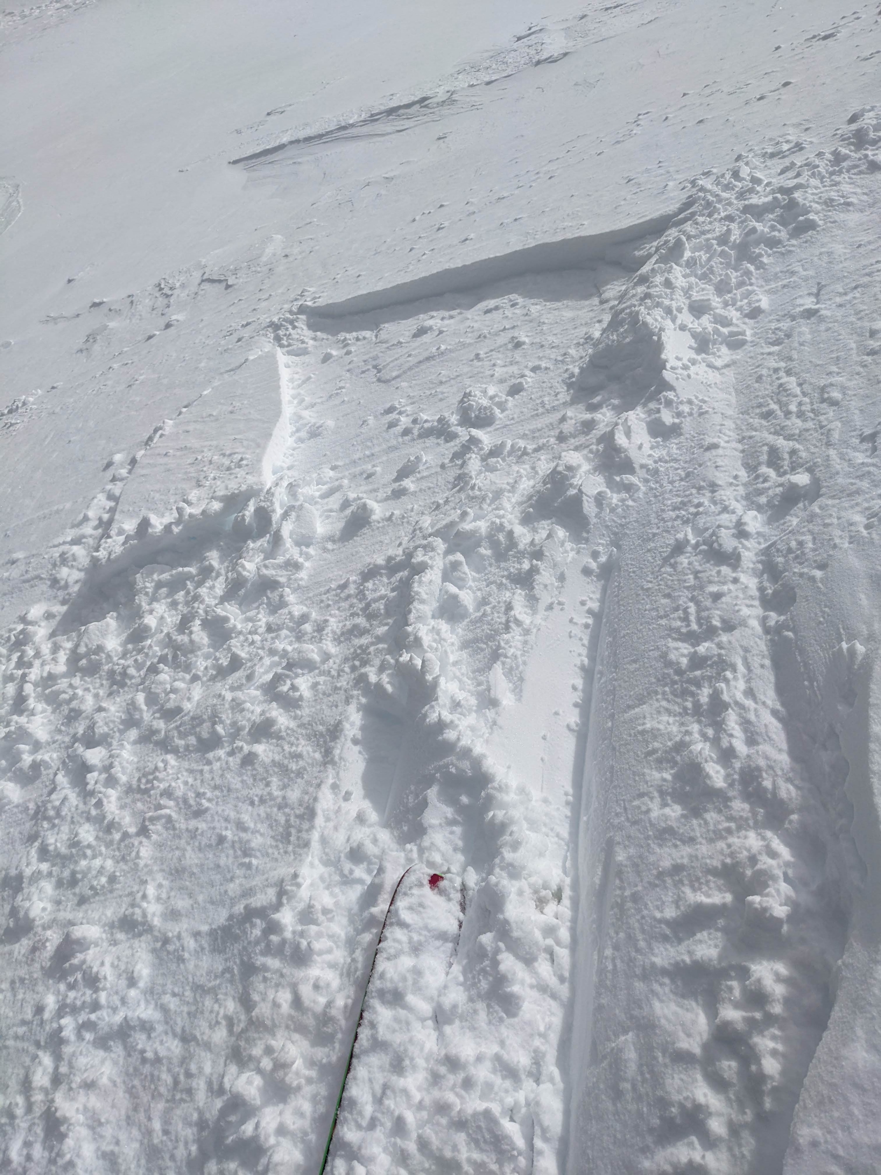
We could see blowing snow along the Sierra Crest and on the upper ridges of Silver Peak. When we got there, a ski cut on a small test slope triggered a small wind slab failure. We did not test the larger slopes where active wind loading was still happening.
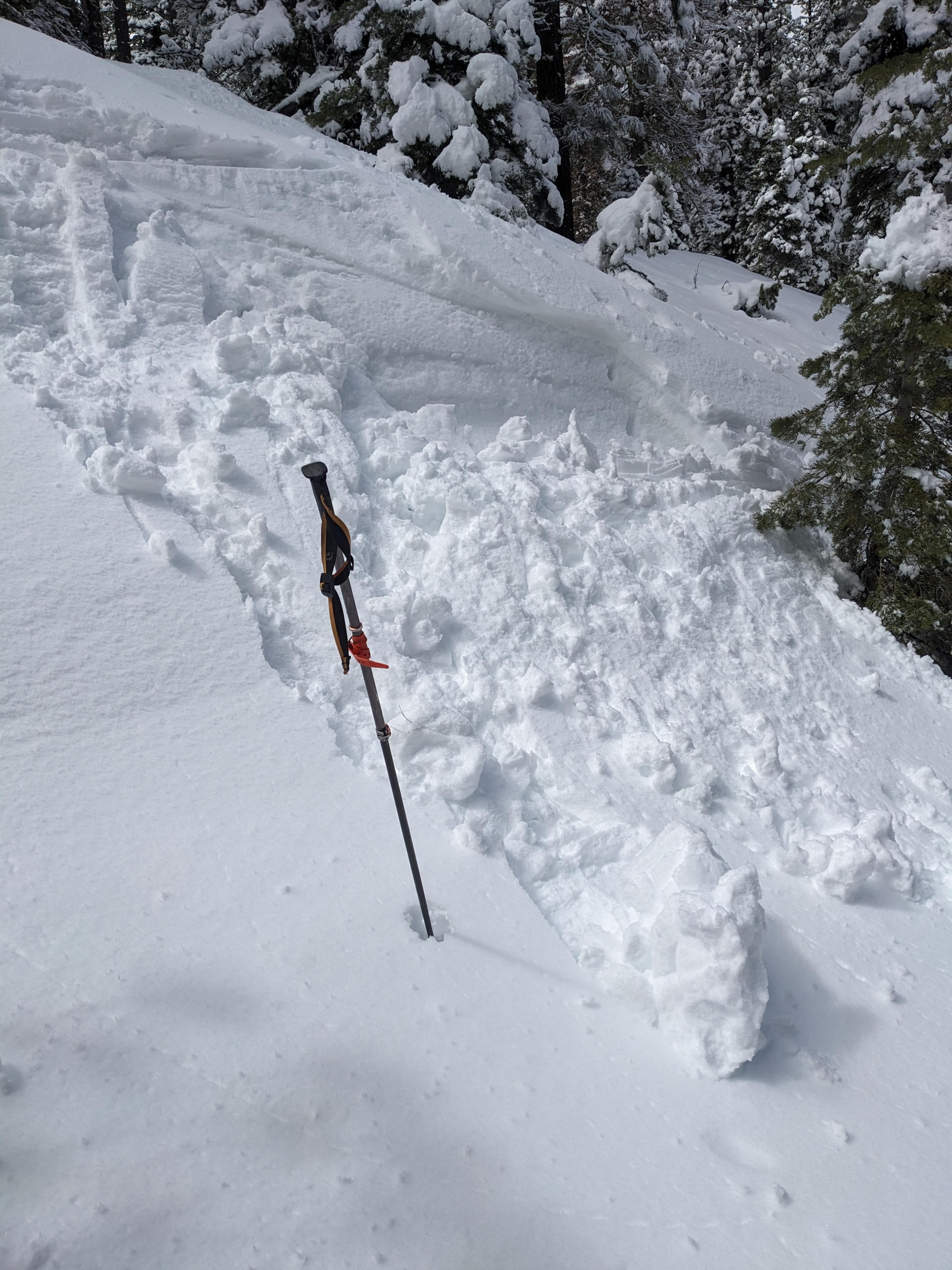
On the way back down, the snow started to warm up. We caused a sluff of loose wet snow on an E-facing test slope at about 6400 ft around 1 pm. We also saw some roller balls and pinwheels on sunny road cuts while driving back to the office in the afternoon.
Weather
- Cloud Cover
- broken
- Wind Loading
- moderate
- Recent Snowfall
- 20
- Snow Avail For Transport
- moderate amounts
Partly to mostly cloudy over the Sierra Crest, with more clouds over the northern part of the crest than the southern part. Strong winds continued along the ridges.