
Quick report
- Cracking
- isolated
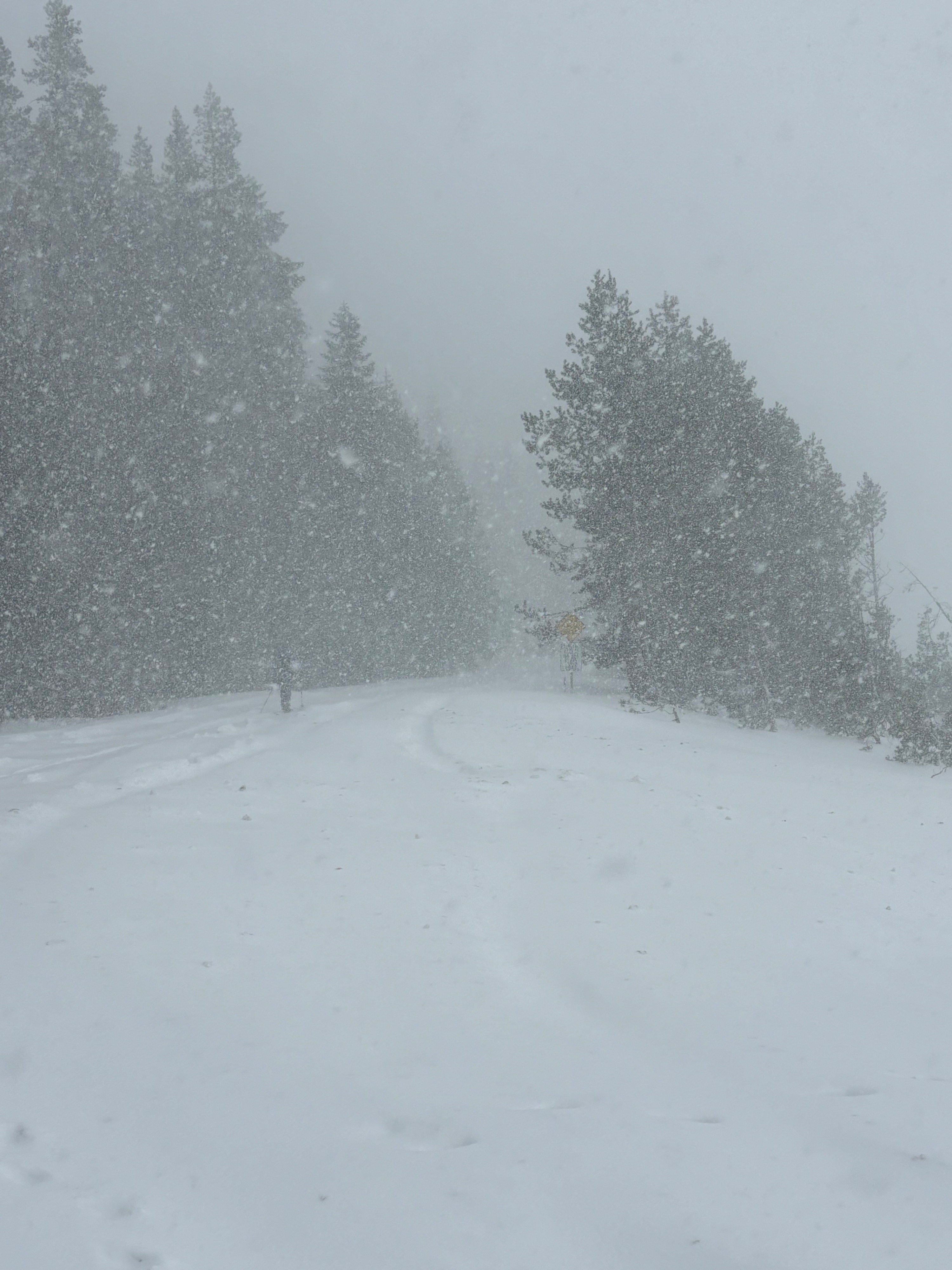
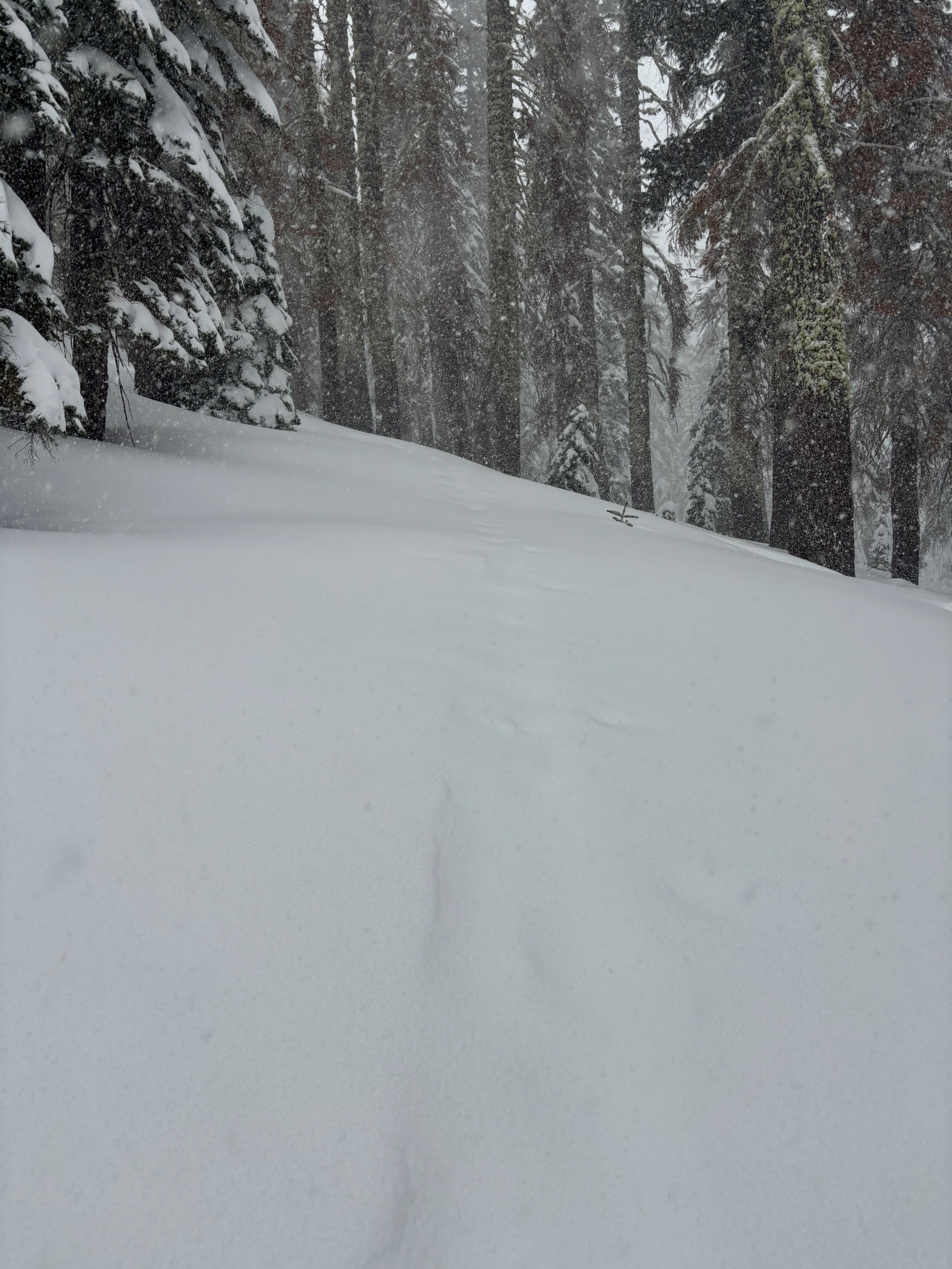
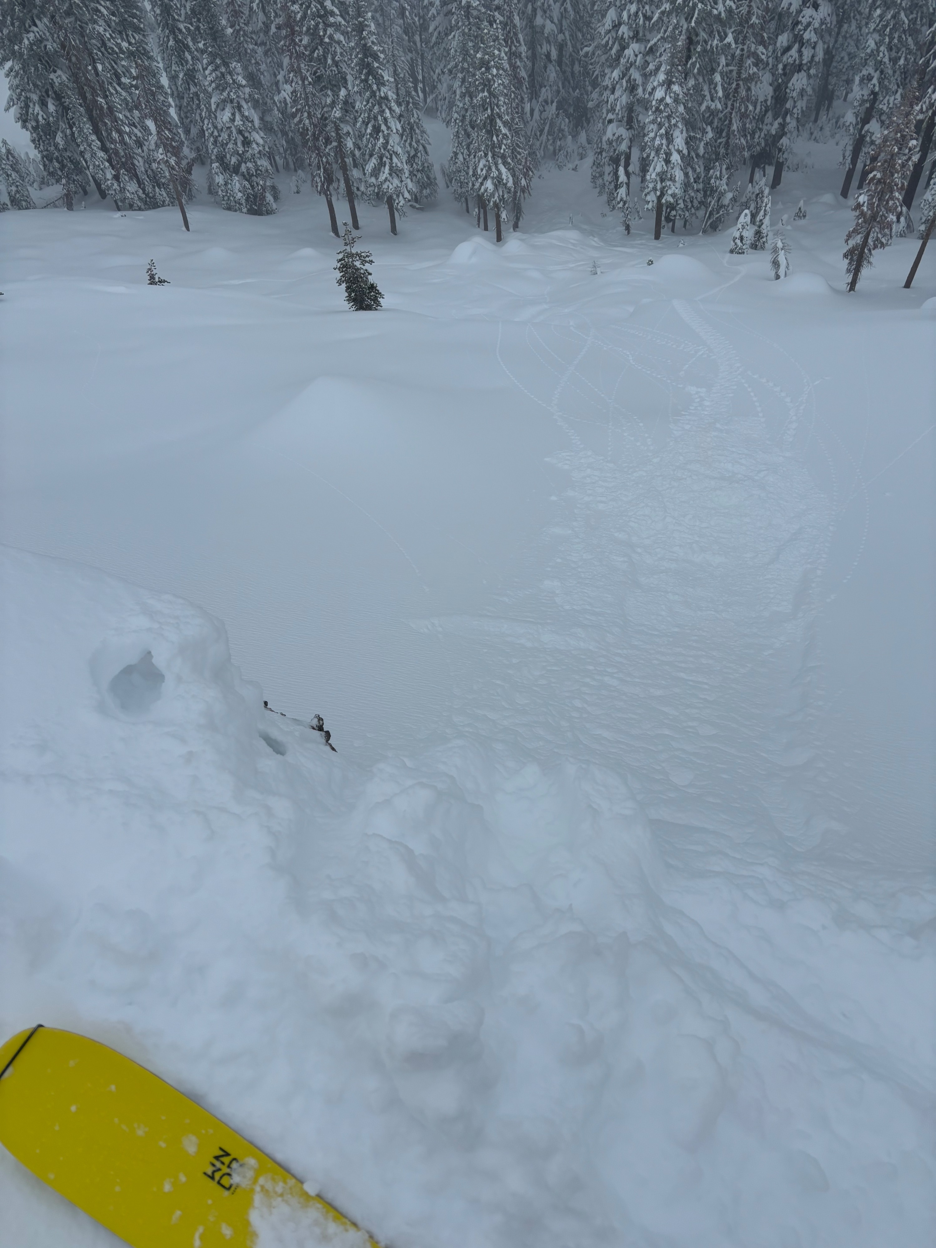
We were surprised by the higher than forecast snow totals today and the intensity of precipitation when we arrived at the trailhead. Already 2” of new snow by 9am. Precip rates of 2”/ hour and higher were observed between 9am and noon immediately refilling our skin track. Estimated that 7-8” of new snow had accumulated by noon. We observed some localized cracking in this new snow especially in wind exposed areas. Gale force winds kept us in sheltered below treeline terrain, where there was plenty of good skiing to be found. Around 1pm precip transitioned to light rain below 8,000’. At this point, we transitioned to a warmer environment. We observed localized cracking of the top 2” of storm snow
Weather
- Cloud Cover
- overcast
- Wind Loading
- light
- Recent Snowfall
- 20cms
- Snow Avail For Transport
- moderate amounts
Snowpack
HS was 160-200cms. We dug several test pits and had ECTP 24, ECTP 26 and CTM SC on a density change 65 cms down from the surface. This appears to be within the new snow from the past 3 days.