
Weather
- Cloud Cover
- scattered
- Wind Loading
- none
- Recent Snowfall
- 0
- Snow Avail For Transport
- none
Thin partly cloudy skies with moderate SW winds along exposed ridges.
Snowpack
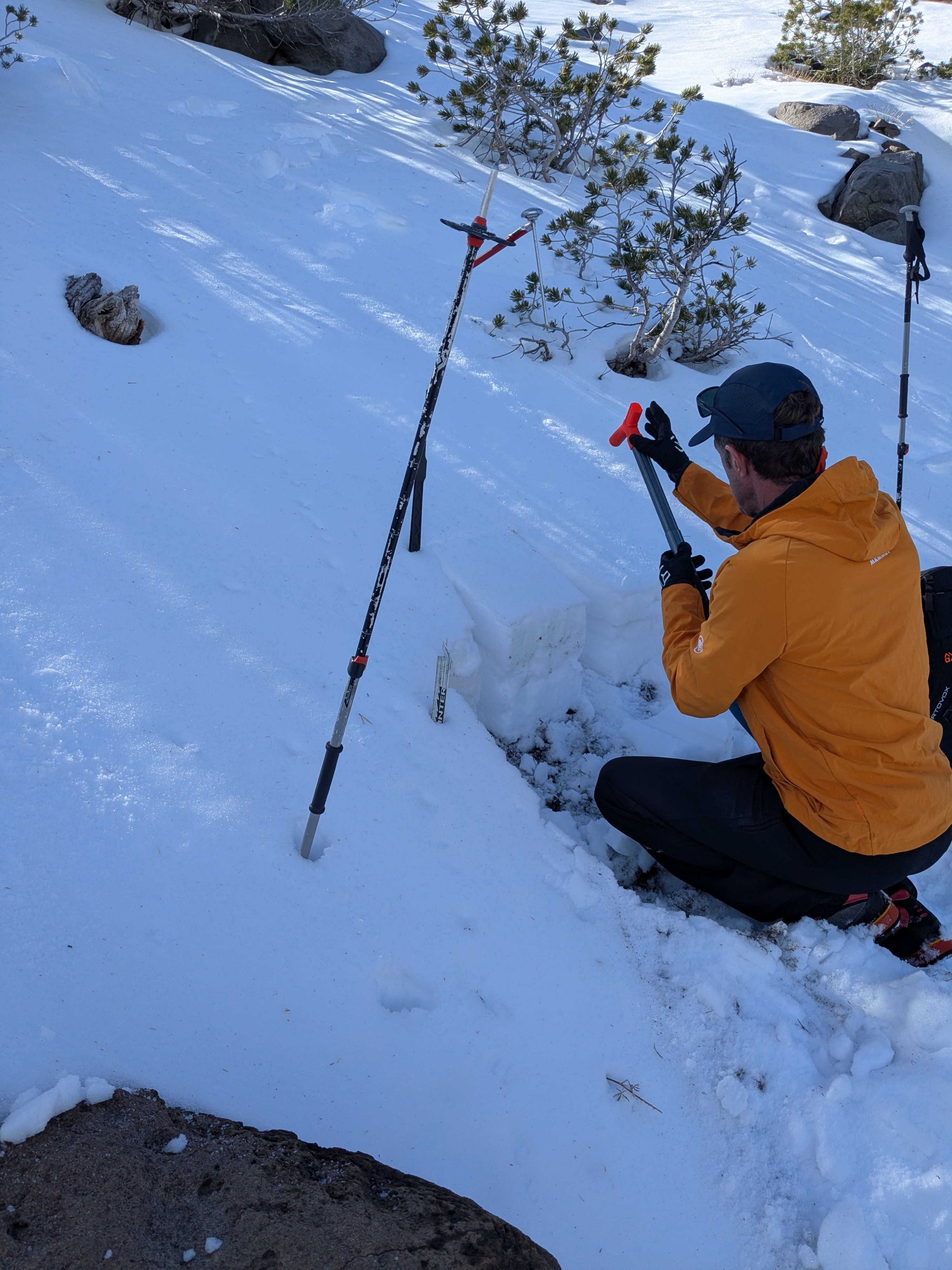
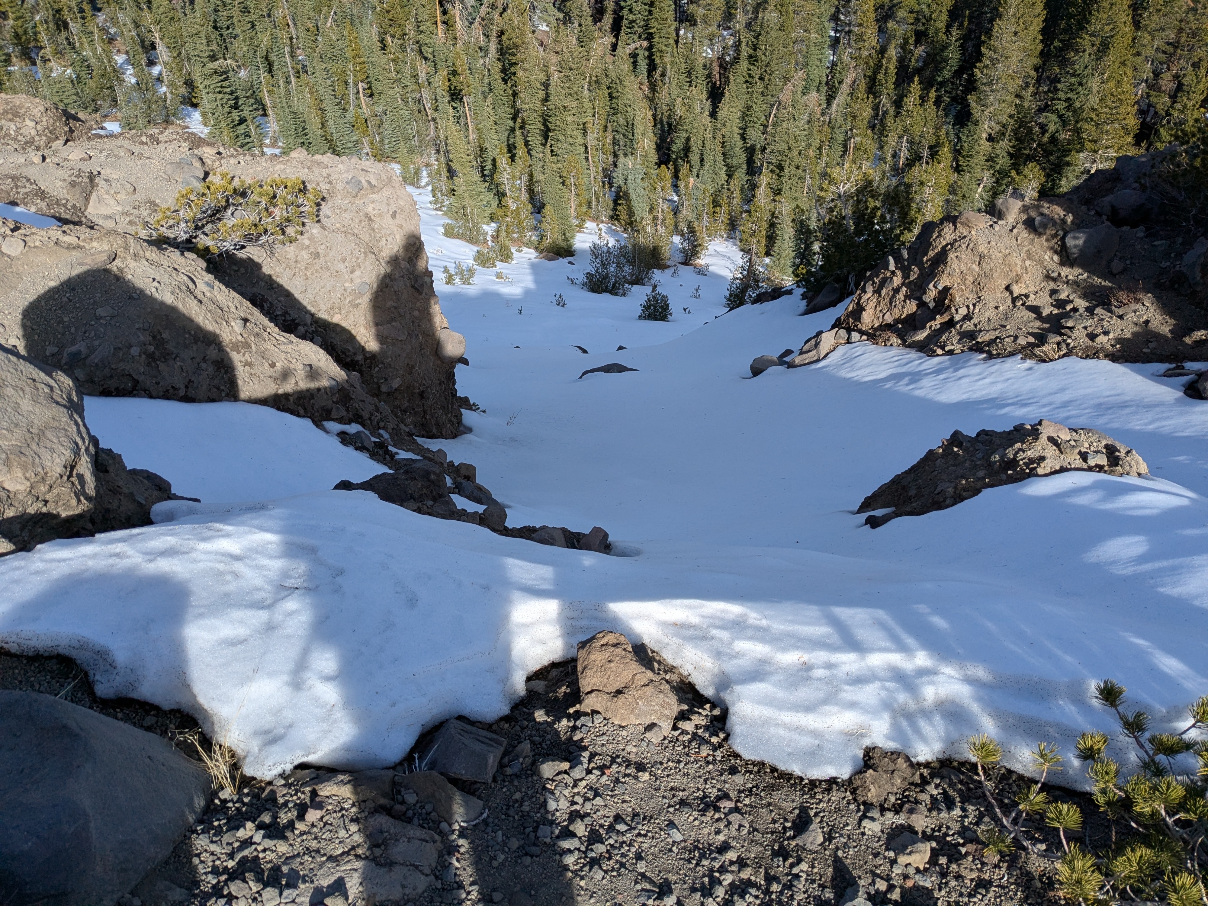
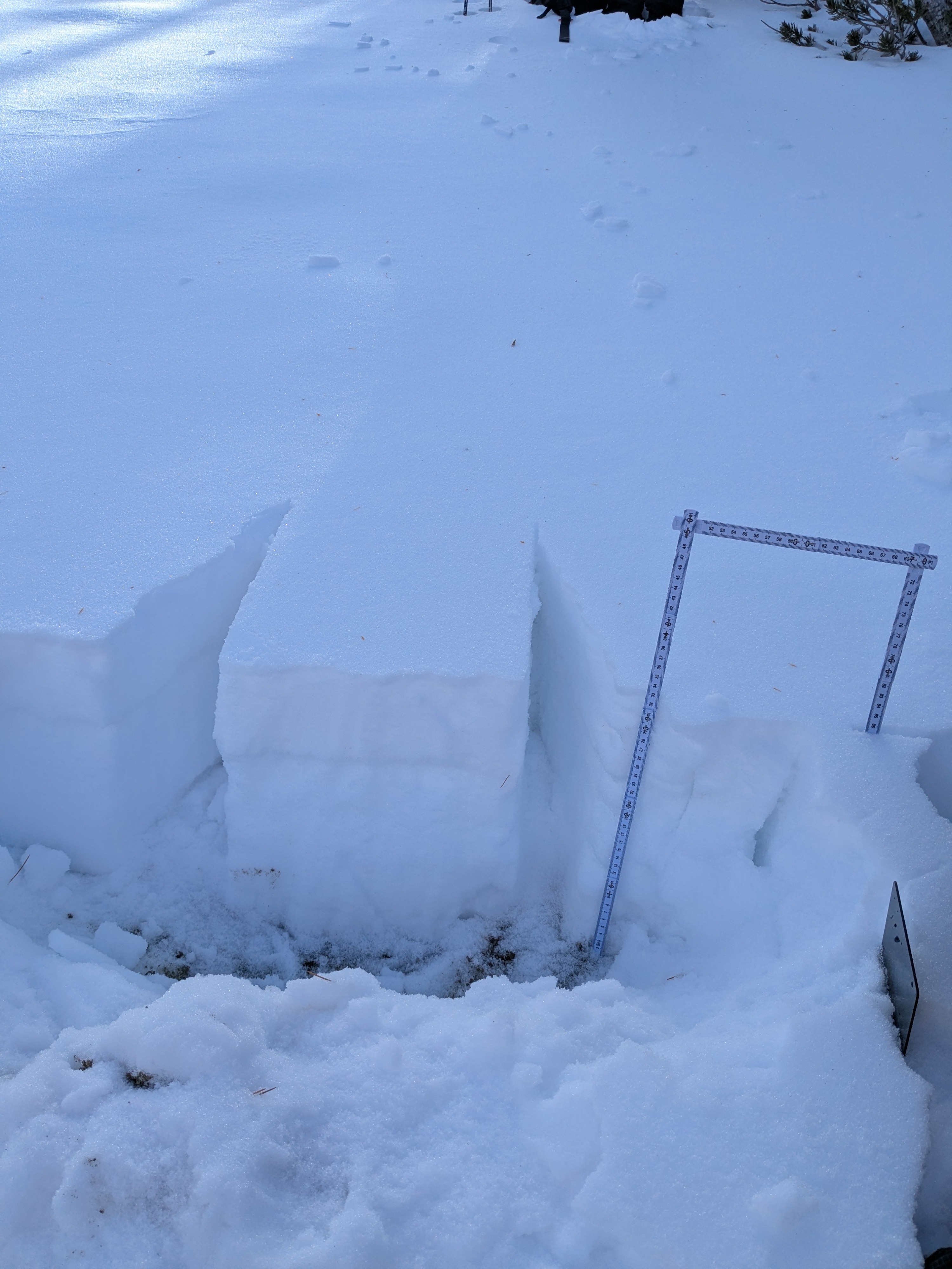
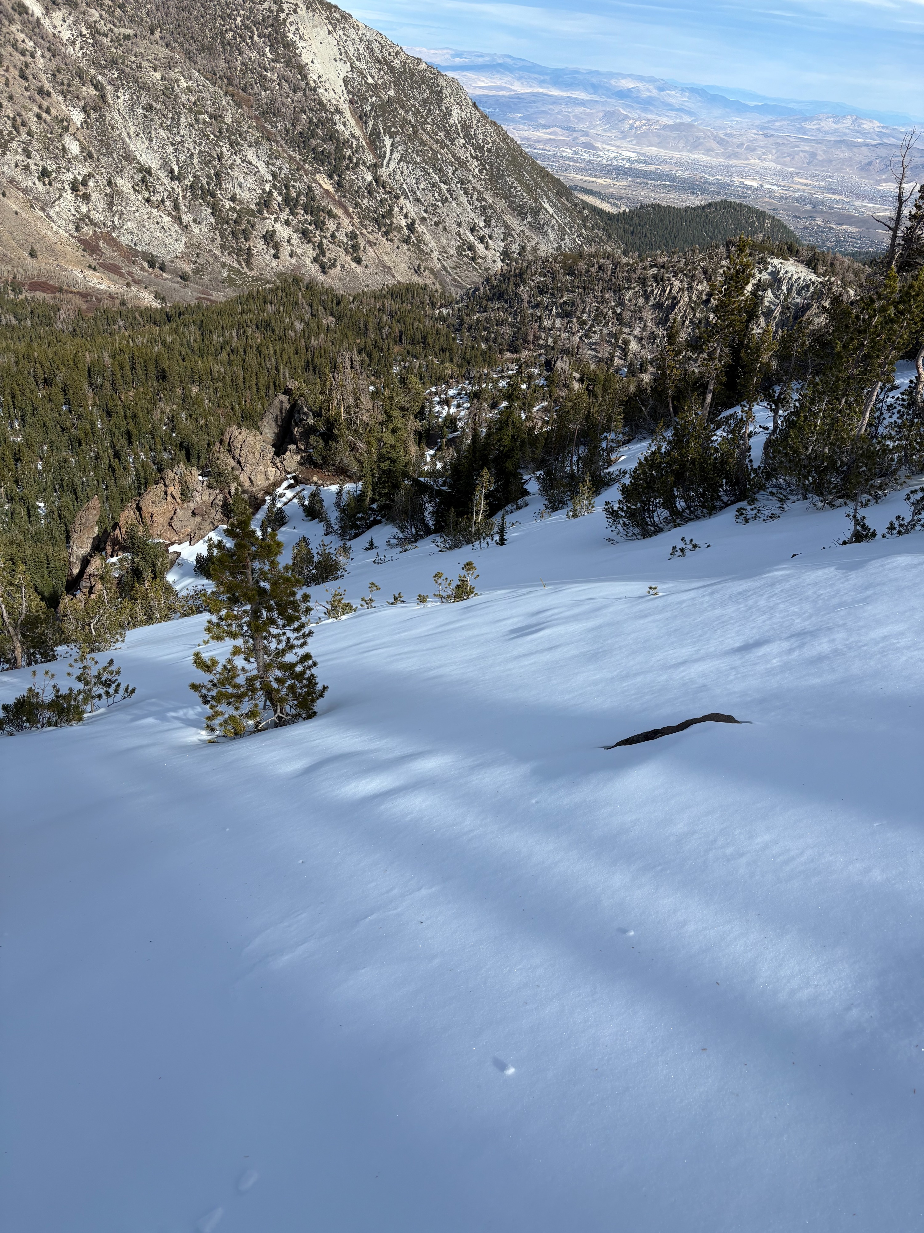
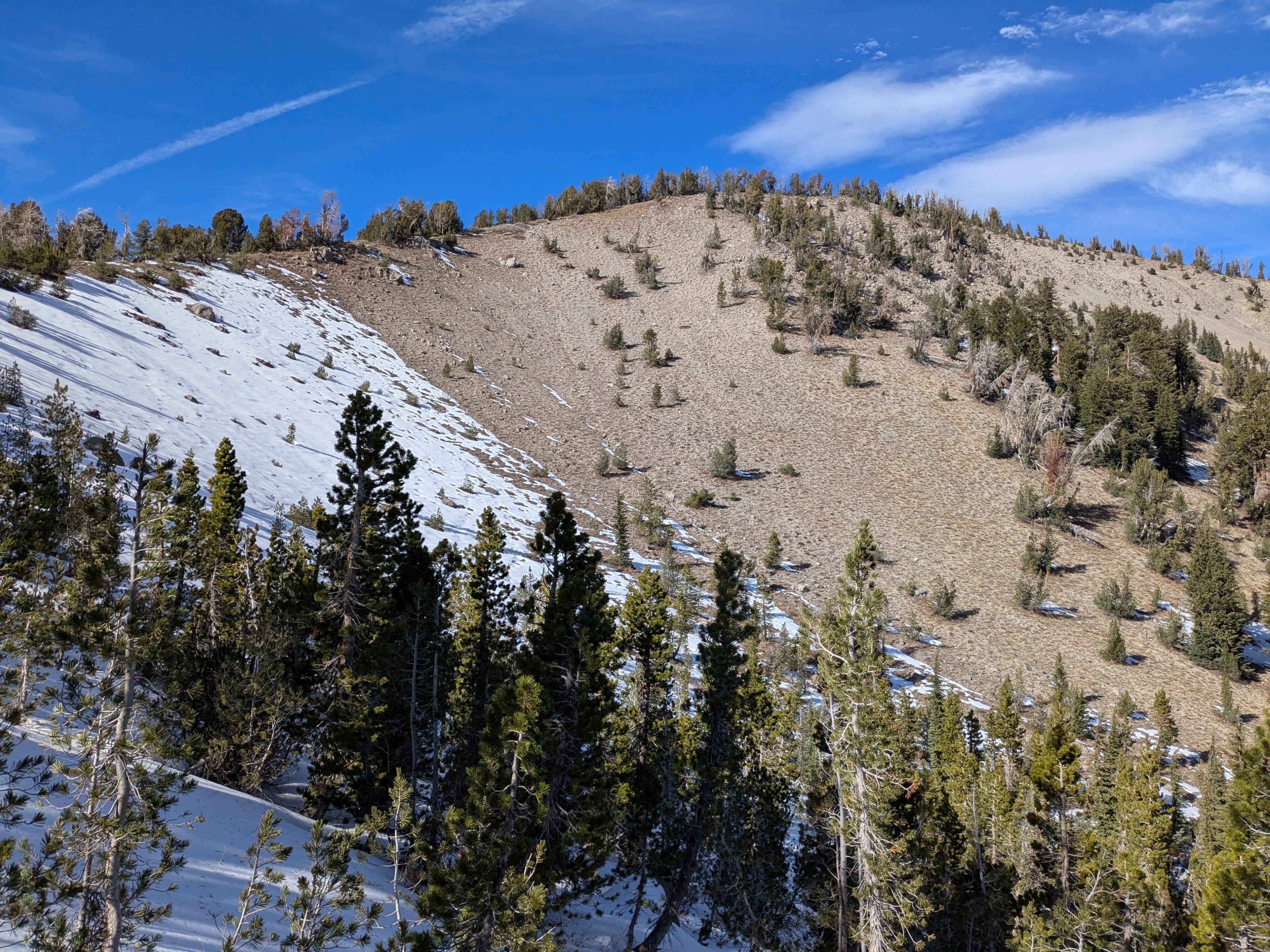
We went to Tamarack Peak today to look at the shallow snowpack that is present in this area. The Mt. Rose area received the most snowfall from the previous October storms in our area. We found up to 1' of snow on northerly aspects above around 9000', with slightly increased amounts up to 9700'. Snow coverage on these northerly aspects was continuous in some areas that had relatively smooth ground cover. All other aspects had very little to no snow remaining. The snowpack along the East Ridge of Tamarack Peak around 9200' had more crusts from rain mixed in with the recent snow with generally stronger snow. As we moved up in elevation to over 9700' in the Hourglass Bowl area, the snowpack had fewer crusts along with dryer and weaker faceted snow present. Additional high elevation snow is expected tomorrow.