
Quick report
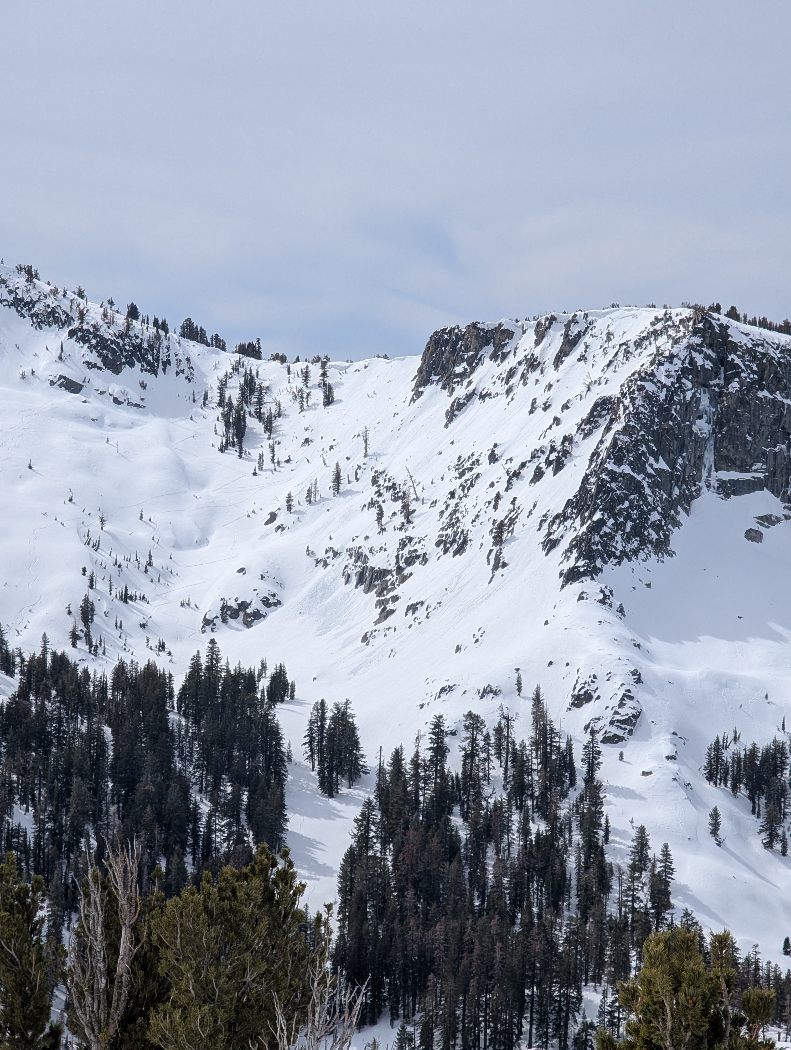
We toured on Rubicon Peak today, looking at snow surface conditions between 7,000' and 9,000' ahead of the upcoming storms. We encountered the usual spring mix of snow surface conditions. High level cloud cover drastically slowed snow surface melt, but it was occurring.
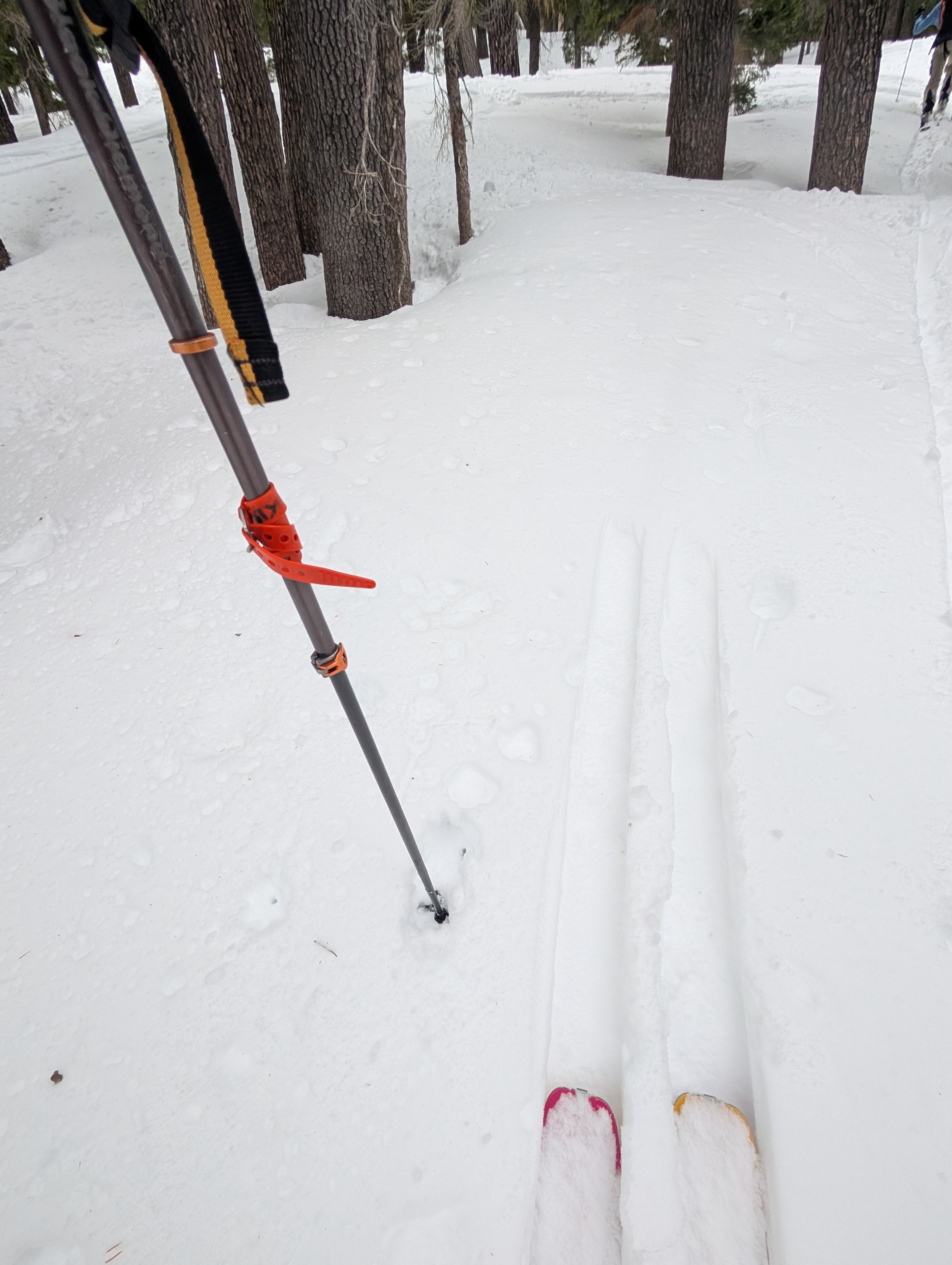
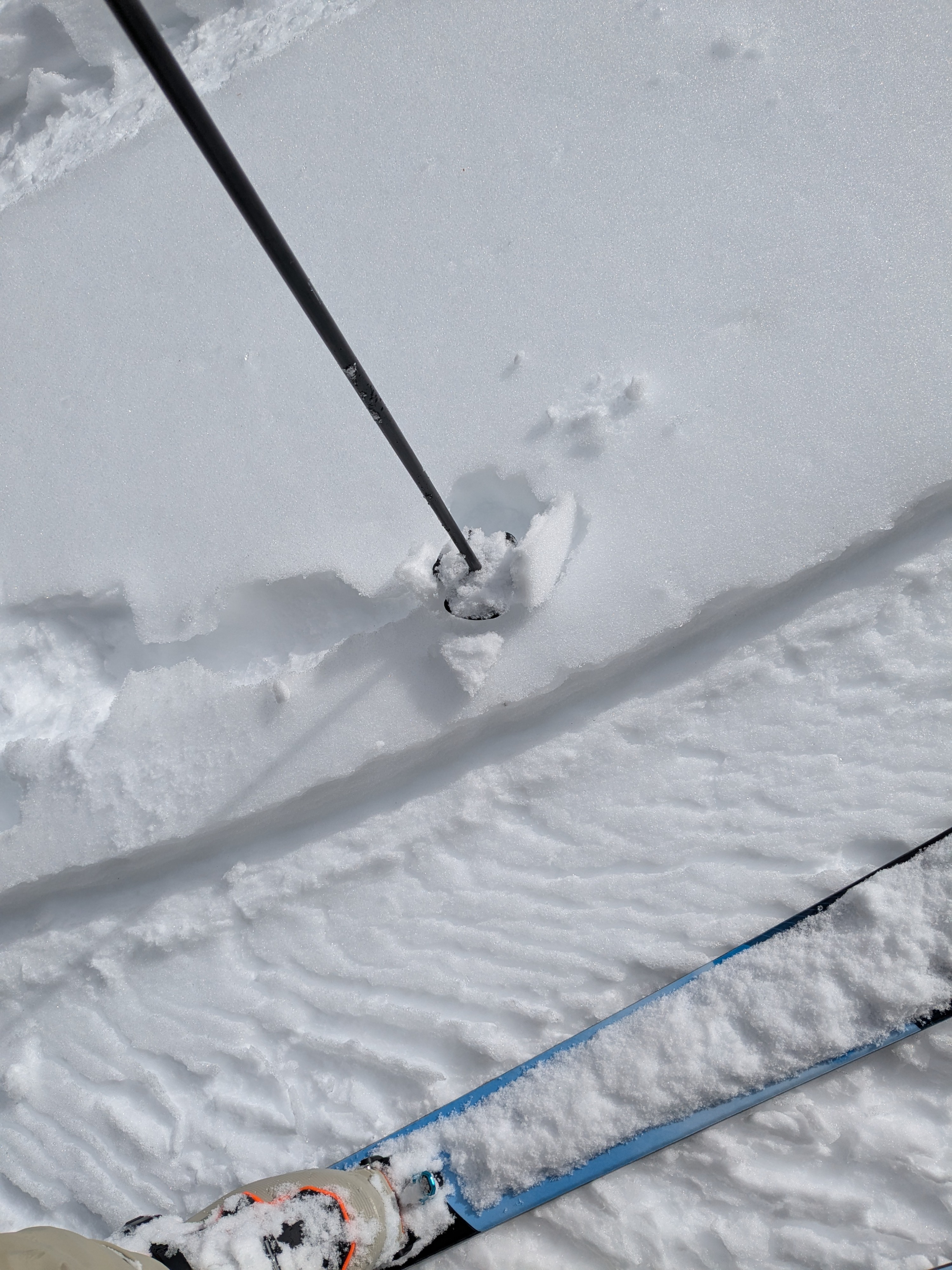
Breakable melt-freeze crust was observed on E aspect terrain up to our highpoint of travel near 9,000' and on low angle N aspect terrain across the elevations that we traveled.
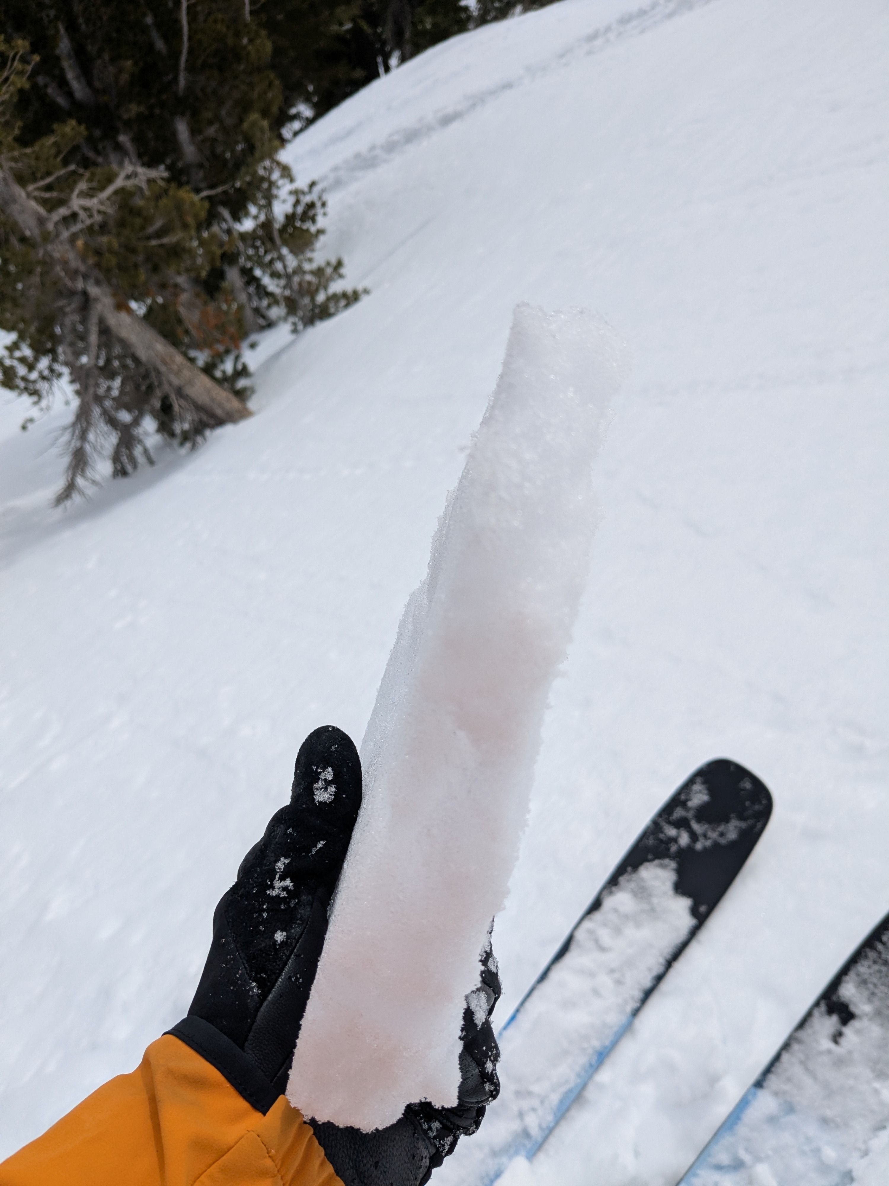
On northerly aspects in well shaded areas and on slopes steeper than about 22-25 degrees, we encountered unconsolidated, recent storm snow that had not undergone melt. This snow did not show any signs of significant surface faceting, suggesting it is in good condition to handle new snow loading.
We looked at some southerly aspect micro terrain features along the NW ridge. These held melt-freeze crust that had reentered melt phase at midday.
Weather
- Cloud Cover
- broken
- Wind Loading
- none
- Snow Avail For Transport
- small smounts
High level cloud cover, calm winds, with air temps above freezing.