
Quick report
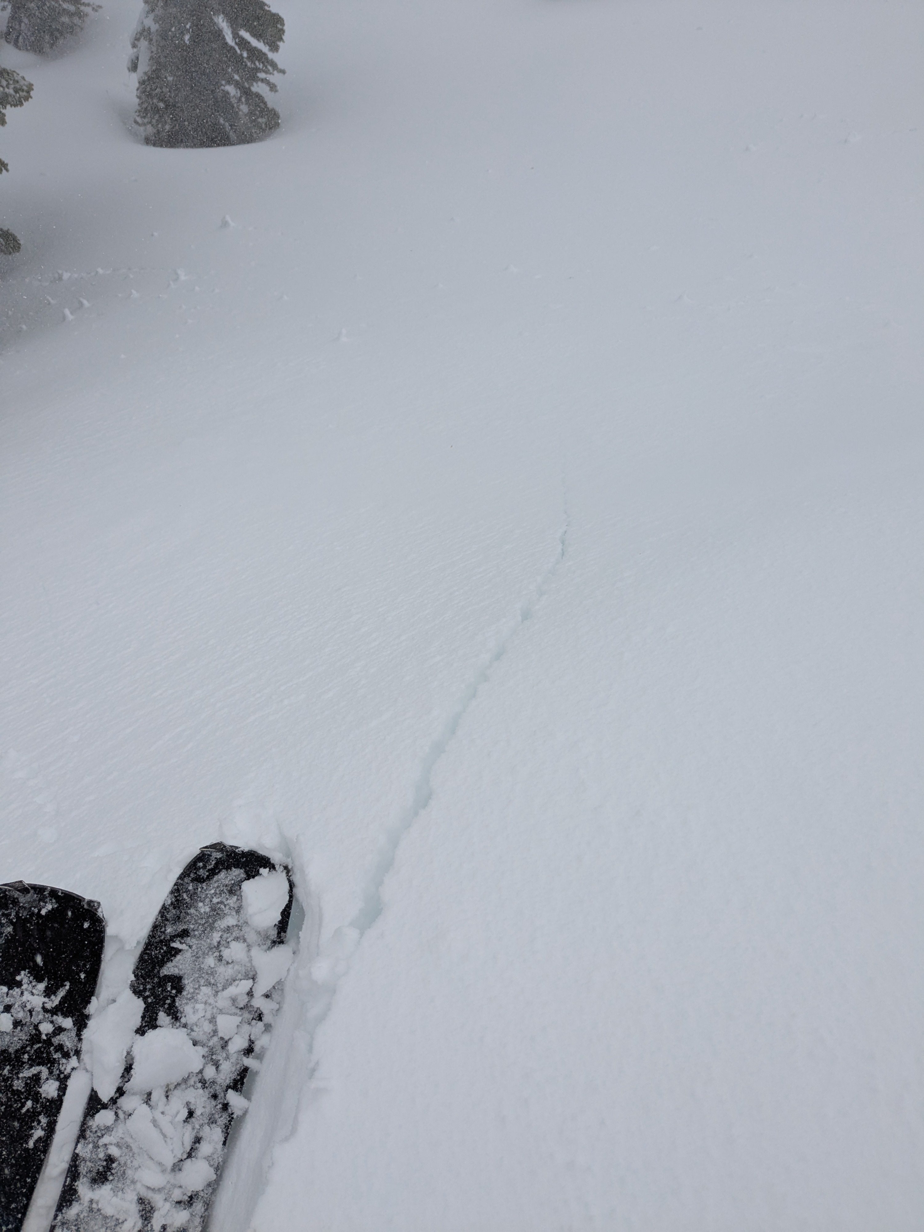
- Cracking
- isolated
On our 10 am arrival at Yuba Pass, there was 1.5 inches of new snow at the parking area. Snowfall at this 6,700' elevation switched from snow to rain while we were gearing up in the parking lot. Snow level continued to rise during our tour. We encountered continued rain below about 6,900', a mix of rain and snow between 7,000' to 7,500', and snow above 7,600'.
As we ascended above 7,300' the new snow amount increased slightly to 2 inches. On steeper, shaded NE aspect terrain, this 2 inches of new snow was on top of 2 inches from Friday for a total of 4 inches of recent storm snow over supportable crust.
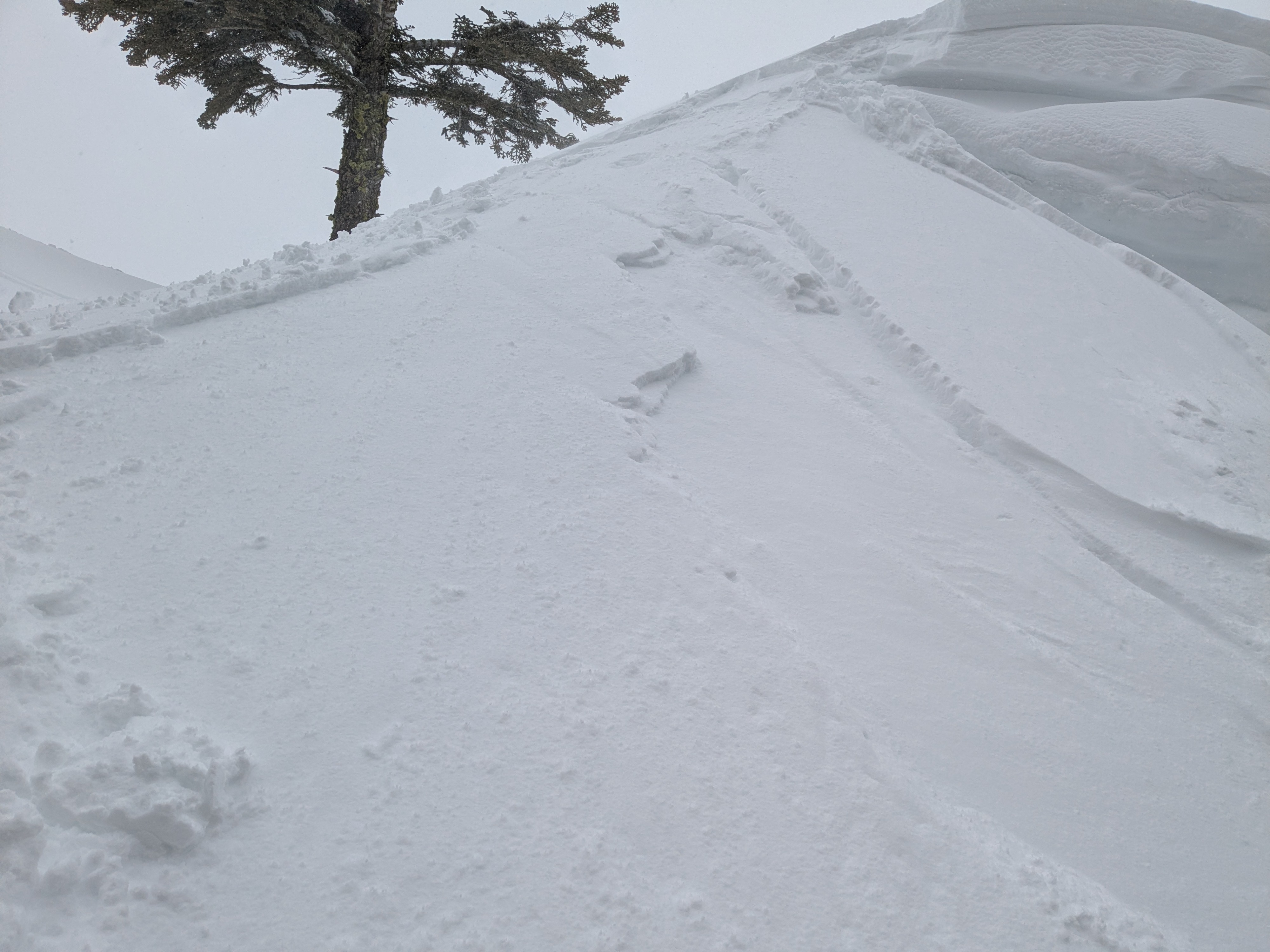
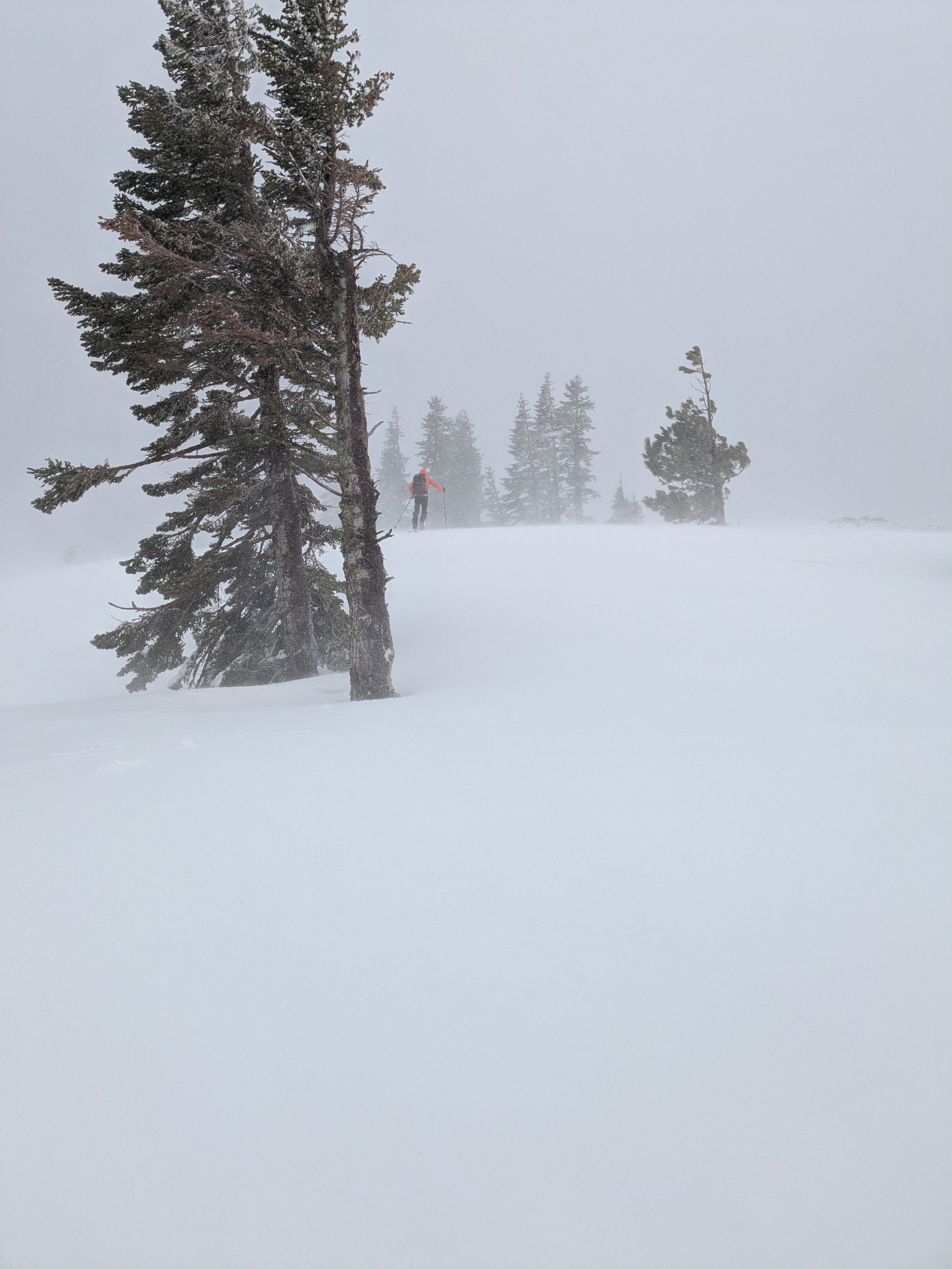
As we reached the wind loaded areas along the ridgetop, we encountered wind loaded pockets of snow 3 to 6 inches deep. The vast majority of drifting snow was from snow on the ground from earlier this morning rather than what was falling from the sky at midday. In isolated areas on wind loaded NE aspect terrain we triggered some cracking of 1F hard slab over 4F- hard lower density storm snow. We also triggered some very shallow, size D1 slabs in areas adjacent to cornice.
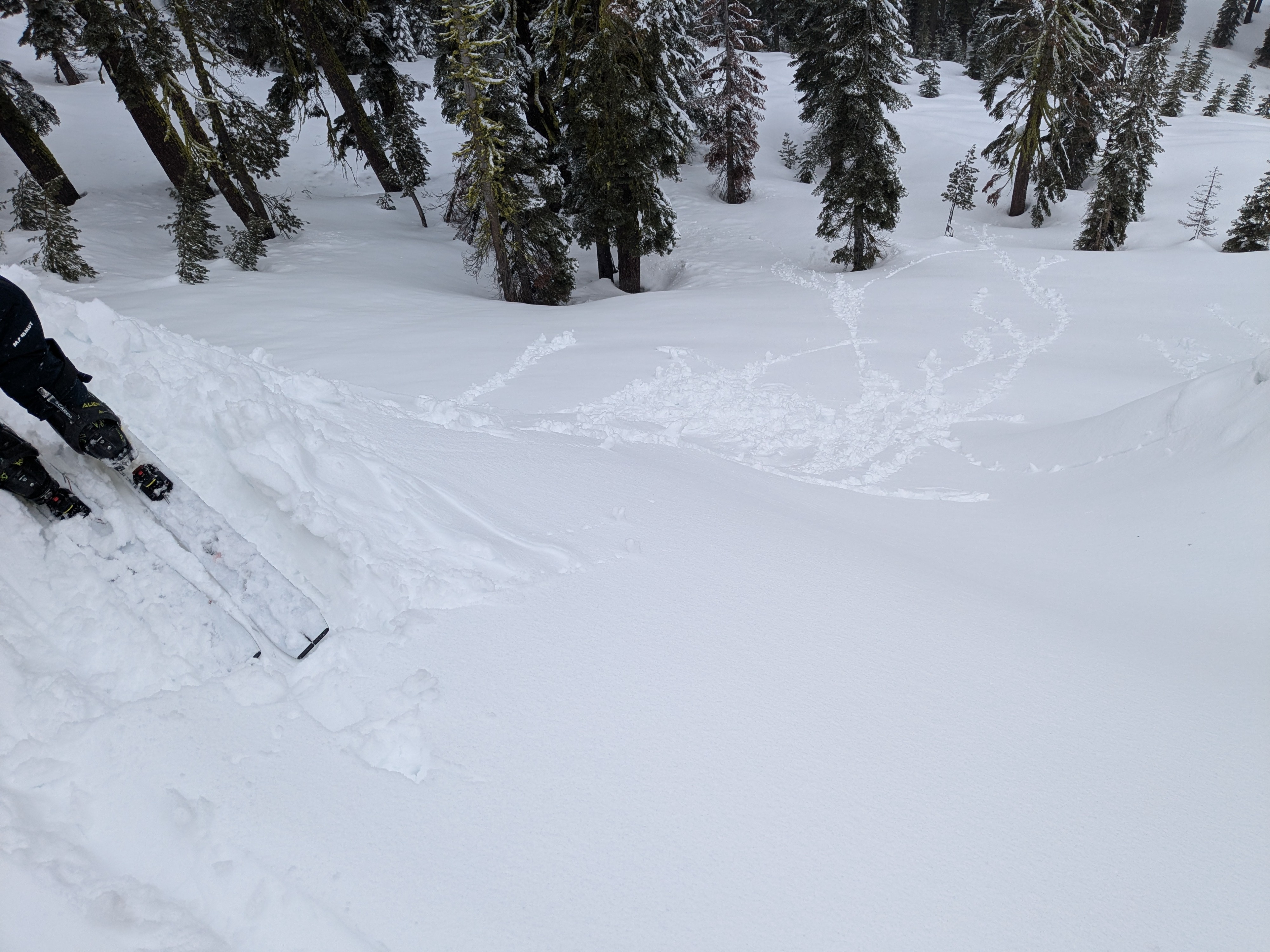
The new snow in wind protected areas displayed wet loose instability rather than slab instability.
New snow on the surface was very wet at and below 7,000'.
Isolated cracking in wind loaded areas. Minor wet loose instability in wind protected areas. Neither was capable of more than a size D1 avalanche.Weather
- Cloud Cover
- overcast
- Wind Loading
- intense
- Rain Elevation
- 6,700' to 7,300'
- Recent Snowfall
- 4 to 5 cm
- Snow Avail For Transport
- moderate amounts