
Quick report
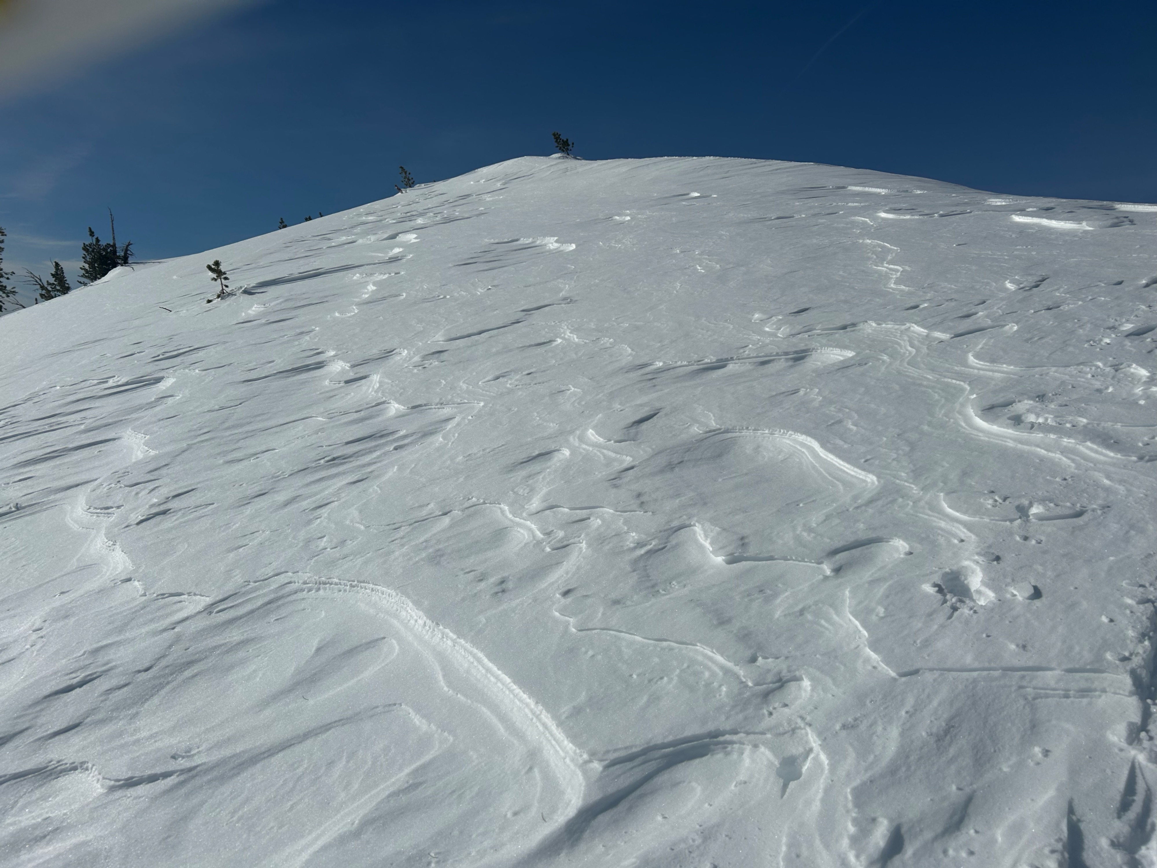
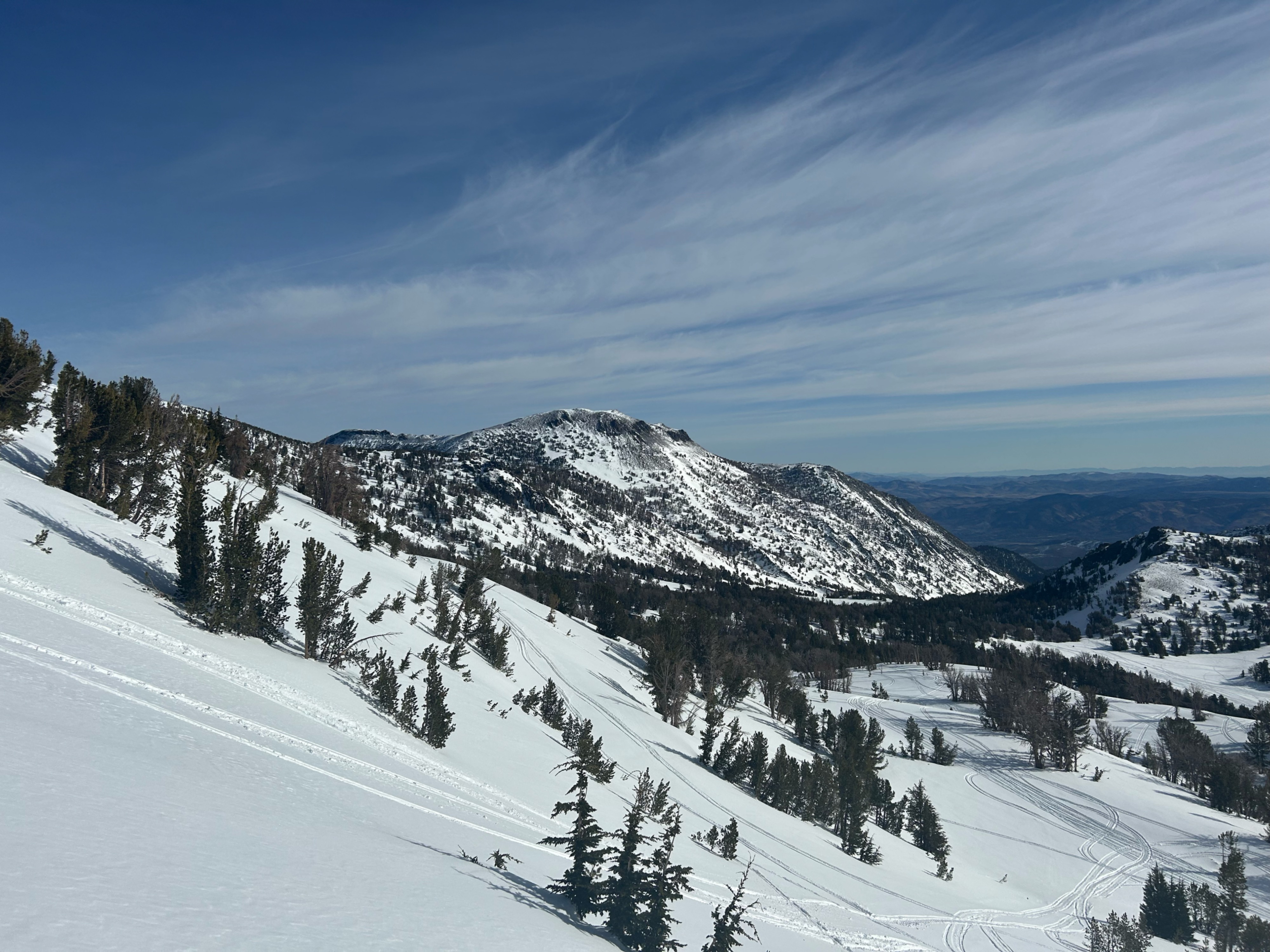
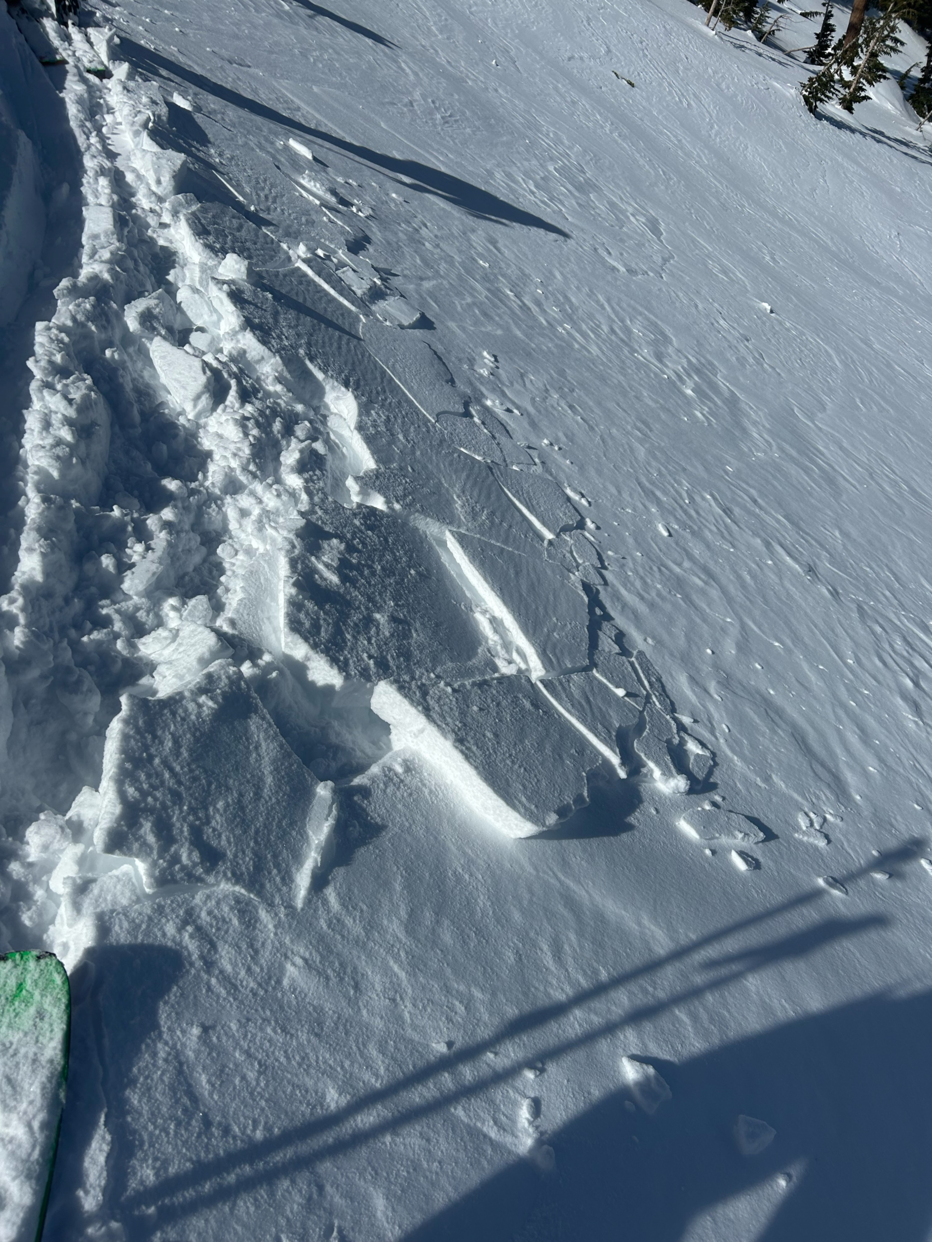
We toured in the Relay Peak zone today to assess the impact of the latest round of wind on the snowpack and to see how the snow from last week's storm was skiing. We noted many signs of wind transport, with the southeast side of Mt. Rose looking noticeably more stripped than last week. Widespread sastrugi was observed during our tour as well. The attached picture indicates wind from the north, but there were signs of wind transported snow on many different aspects and elevations. However, we did not see any signs of wind slab formation other than some thin (2cm), skin-like blocks peeling beneath our skis on a north-facing test slope. Higher elevation north facing slopes showed no signs of significant wind loading or wind slab formation. The mid slope crown in the first Bronco Chute was a sobering reminder that the persistent weak layer being tracked by the forecast center is/was not just confined to South Lake, as we optimistically hypothesized before the tour
Avalanche
- Size
- D2
- Aspect
- N
- Elevation
- 27 ft
Likely persistent slab avalanche with a mid slope crown in the Bronco Chutes zone that failed some time before the latest dusting of new snow.