
Quick report
Predictable wet loose avalanches. Otherwise, well-bonded new and recent snow. There are some moist layers in the upper snowpack that have yet to freeze. Overall, I saw few layers of concerns in the areas that I traveled.
I didn't get to the most wind-loaded slopes, nor did I investigate high, shaded aspects. These are both areas where I suspect some potential for instabilities.
Surprisingly nice travel conditions uphill and down.
Weather
- Cloud Cover
- obscured
- Wind Loading
- previous
- Recent Snowfall
- 10-13
- Snow Avail For Transport
- moderate amounts
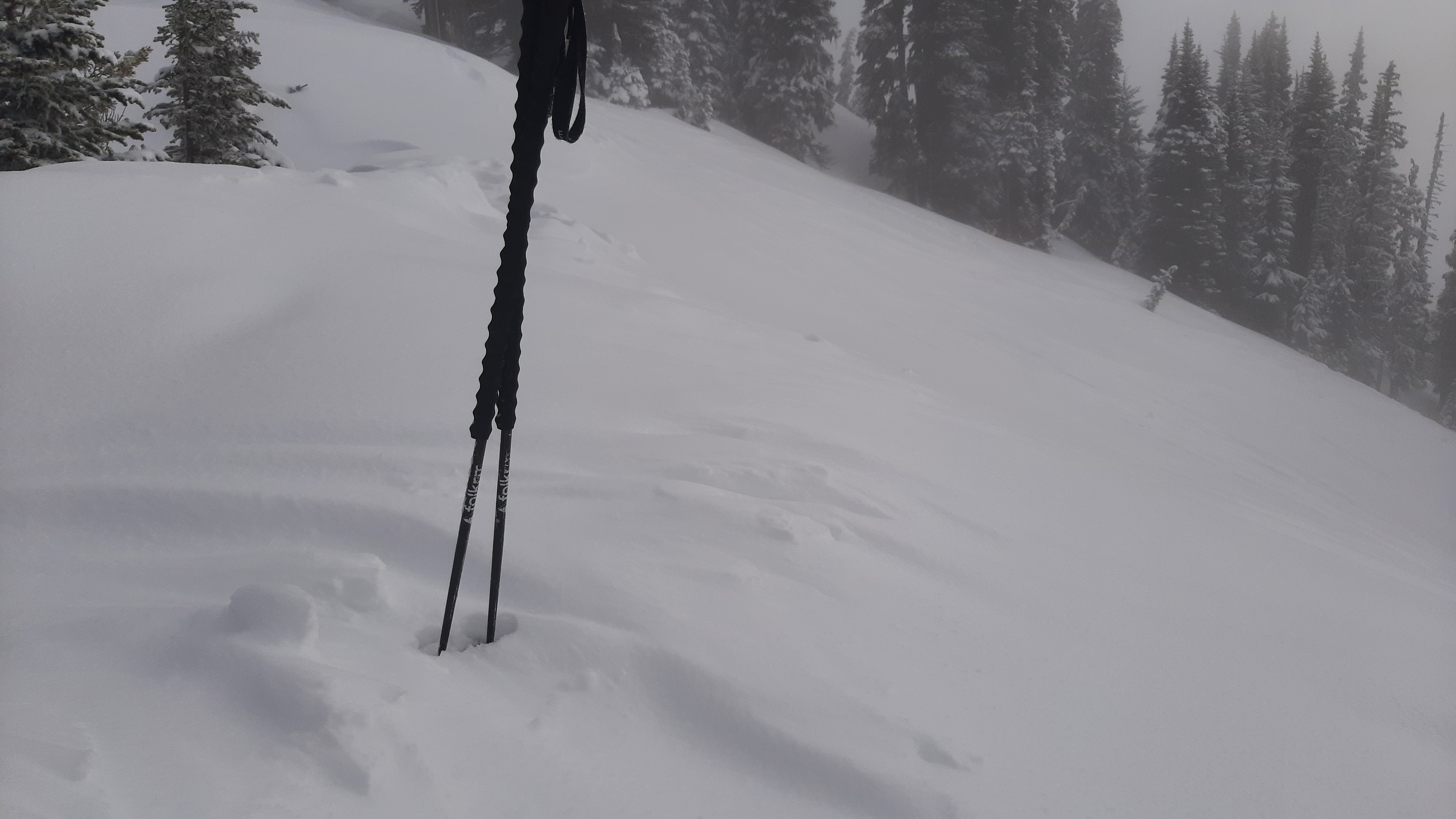
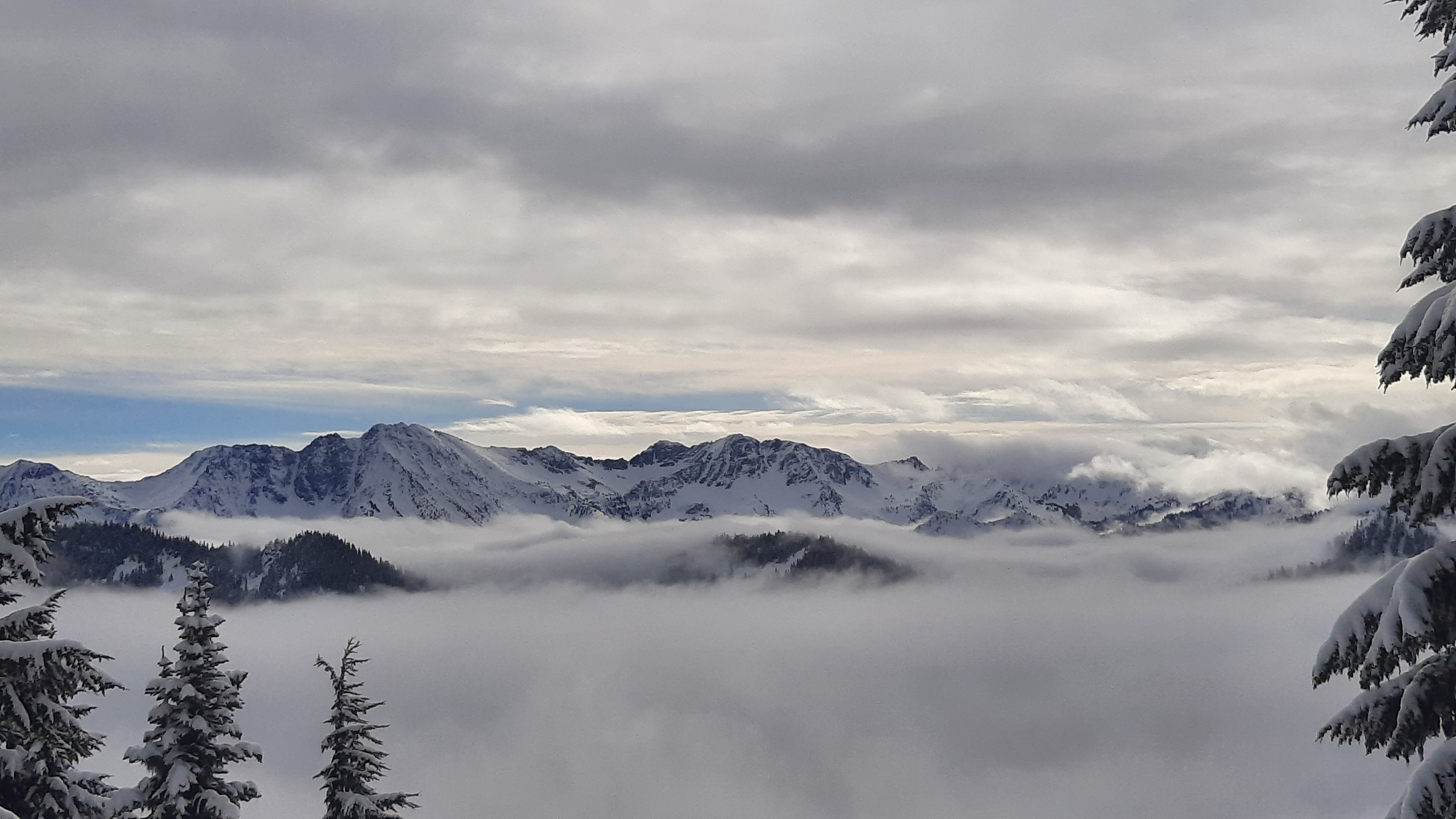
Light S-1 snow, picking up at 11a. Snowing S2 by 12:30p when I left the field. First thing in the morning, the 10cm of new snow was dry and low density above 4,300ft. It began to get moist with warming temperatures/precip around 11a. Visibility was poor due to thick clouds and fog at times. In the morning, there were periods of good visibility above ~5,500ft, sandwiched between thick clouds above and below (see photo). While on Big Chief Ridge, I didn't see any wind transport, but there had been some light drifting within the past 12hrs. These drifts were soft and lacked cohesion.
Snowpack
Surfaces were new snow, which was initially moist below 4,300ft, creeping higher in the low-elevation band after 11a. Storm amounts since the 9th varied some degree in open terrain. This was predictable with elevation and aspect. In areas with tight tree canopy, I found less recent snow and more rough, frozen old surfaces.
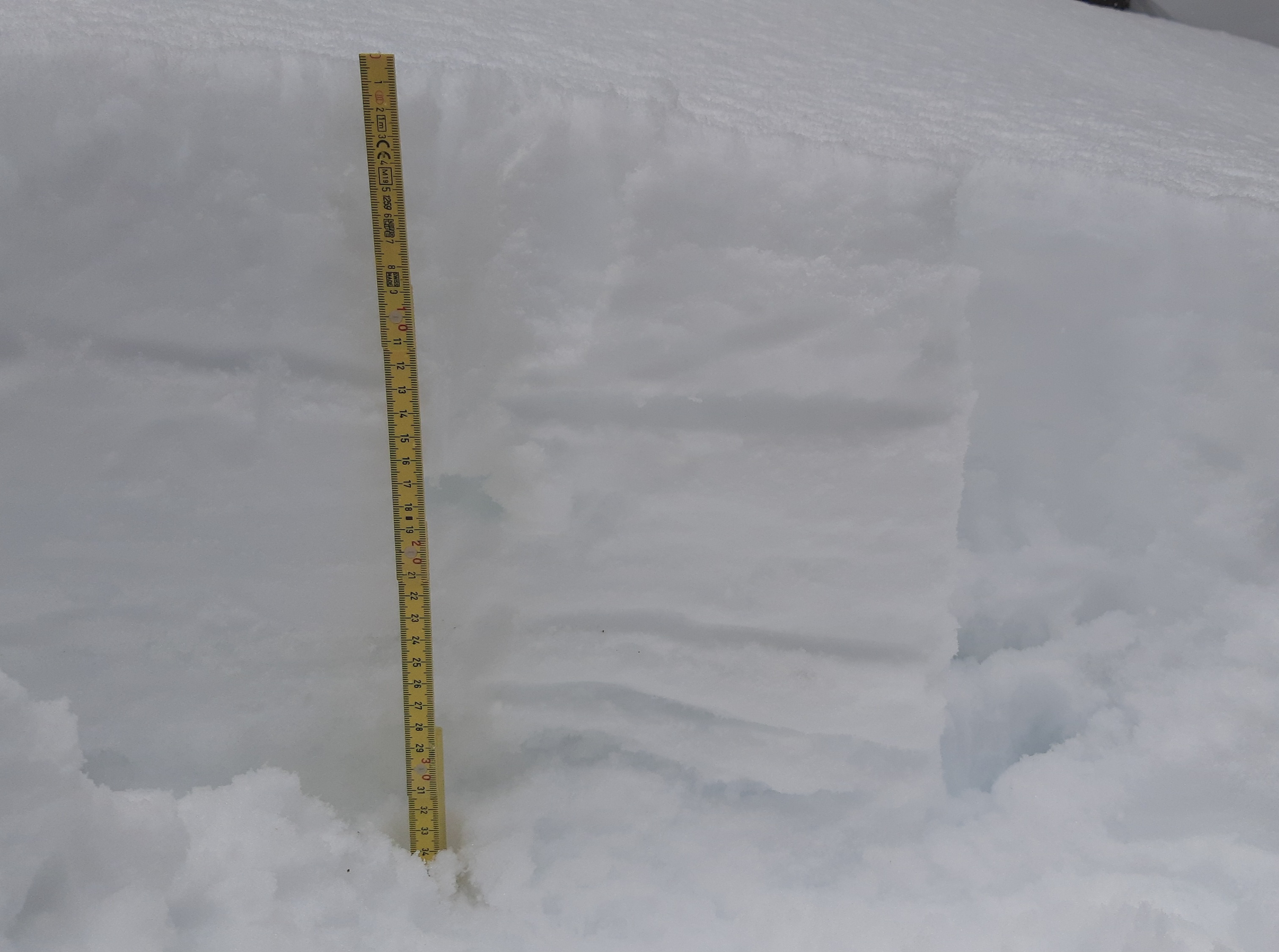
The 13cm of new snow combined with snow from earlier in the week, there was 20-29cm recent snow (some DFs and slight melt forms) over the 3/9 interface. Up to at least 5,600ft, the 3/9 interface was 4-Finger to 1-Finger hard, and still moist (not fully frozen) on sun-exposed SE-SW. On shaded and less sun-exposed slopes, this was a solid pencil-hard crust. The rest of the upper snowpack alternated between layers of melt-forms (sometimes frozen crusts) and less-transformed old storm layers going back to the snow that fell February 24-25th at the tail end of the late-February atmospheric river storm.
Aside from the noted instabilities (see avy obs), the new snow and the snow that fell on the 3/9 interface were well-bonded. I couldn't find buried surface hoar, but I didn't have time to reach shaded, wind-sheltered aspects above 5,000ft.
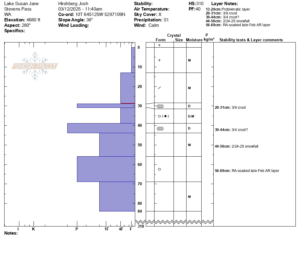
See profiles for more details.
Big Chief: on ridge. 10:00a, 5,640ft. Light previous drifting
0-10cm: F hard, PP, dry
10-24cm: 4F hard, DF, dry
24-27cm: 1F, MF, moist, 3/9 layer?
27-30cm: P+, MFcr, frozen
Lake Susan Jane. 11:30a, 4,440ft, NNW, flat (see photo)
0-11cm: F+ hard, PP, dry HN24
11-24cm: 4F hard, DF, moist,
24-27cm: 4F+ hard, MF, moist, 3/9 layer?
27-29cm: P+ hard, MFcr, crust
29-35cm: 4F+ hard, MF, moist
Lake Susan Jane. 11:50a, 4,680ft, N, slope 35*
↓28-30cm: 1F, MFcr, frozen/dry, 3/9 layer
↓30cm: MF(FCxr), 0.5mm. Rounding facets mixed with melt forms. No buried surface hoar.
Avalanche
- Size
- D1
- Type
- WL
- Aspect
- SE
- Trigger
- AS
- Elevation
- 5520 ft
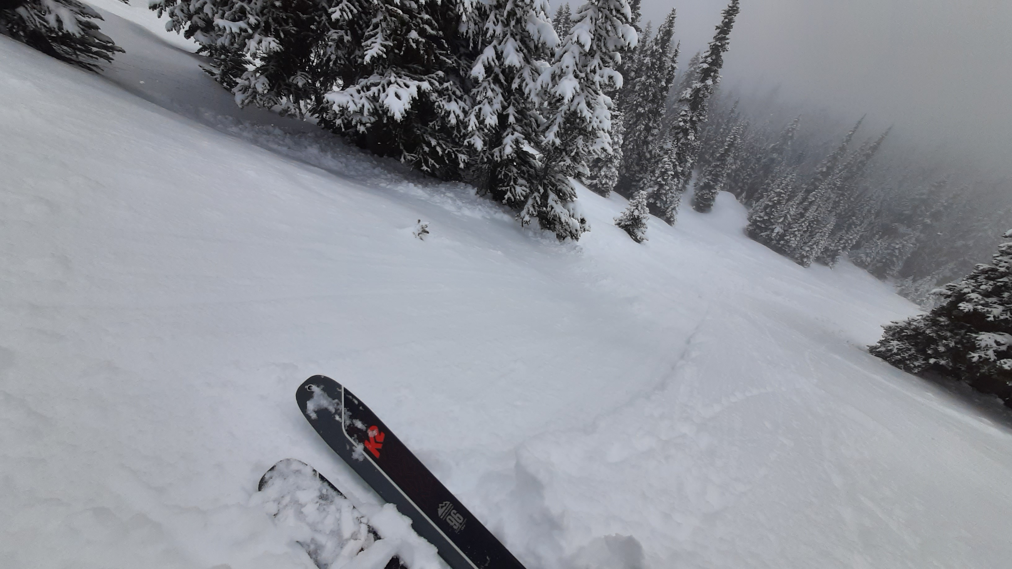
Predictable loose wet slides, ~20cm deep, triggered on a particularly steep, solar slope. This involved the recent snow sliding on the less-than-frozen 3/9 melt forms.