
Quick report
A trio of fresh avalanches was the really compelling piece of information today. These slides highlighted the potentially dangerous conditions, even if the snow didn't "feel" particularly scary. The most recent 24-hour snow was the most reactive, but we could still easily see several inter storm layers from the past week. With plenty of new snow, gusty winds, and poor visibility, we kept it pretty reigned in and stuck to small feature, and avoided larger steep slopes.
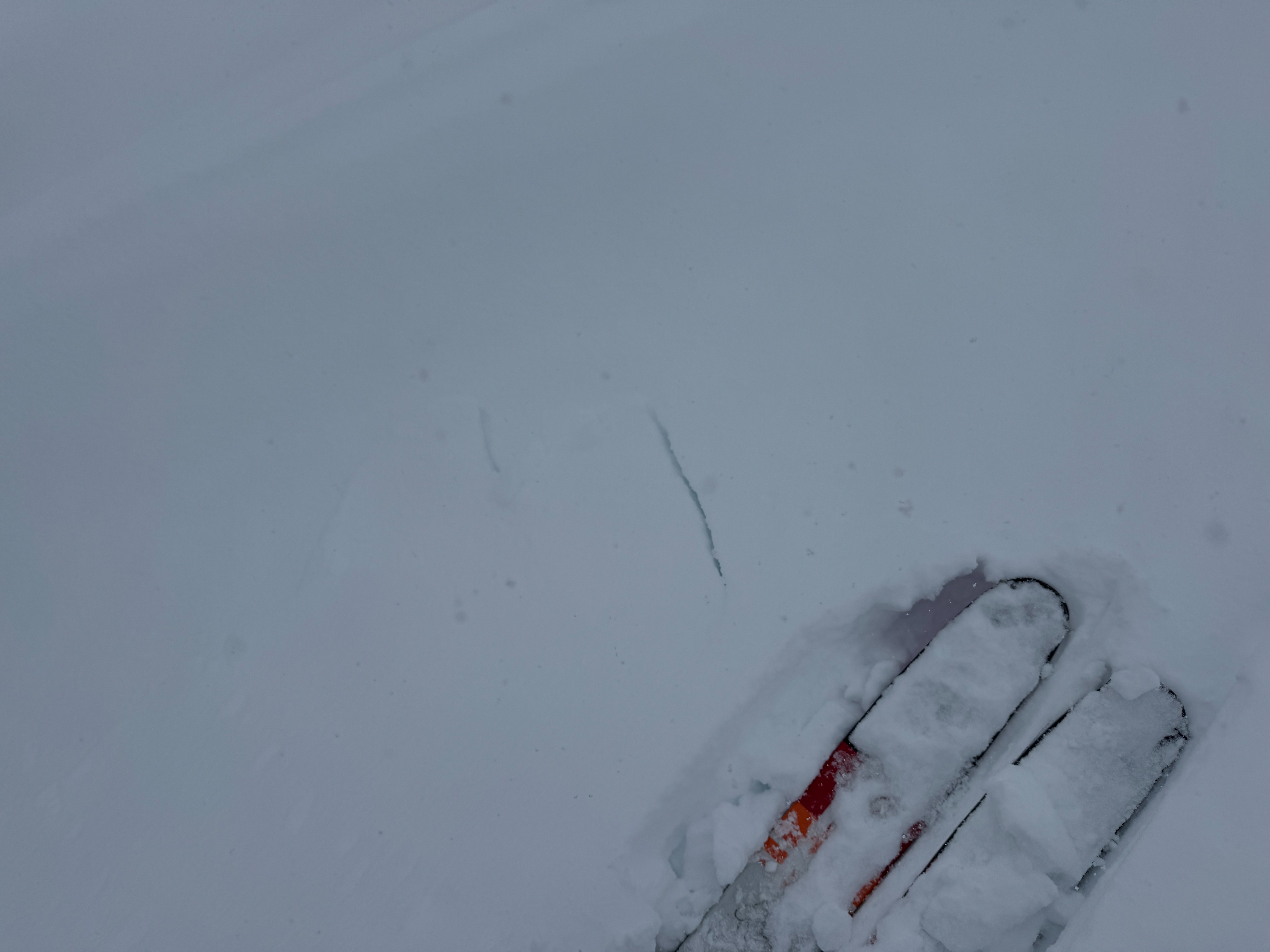
Minimal cracking on small very steep test slopes. Notably the slopes never slid, despite our best efforts.Weather
- Cloud Cover
- broken
- Wind Loading
- moderate
- Rain Elevation
- 1500
- Recent Snowfall
- 20
- Snow Avail For Transport
- moderate amounts
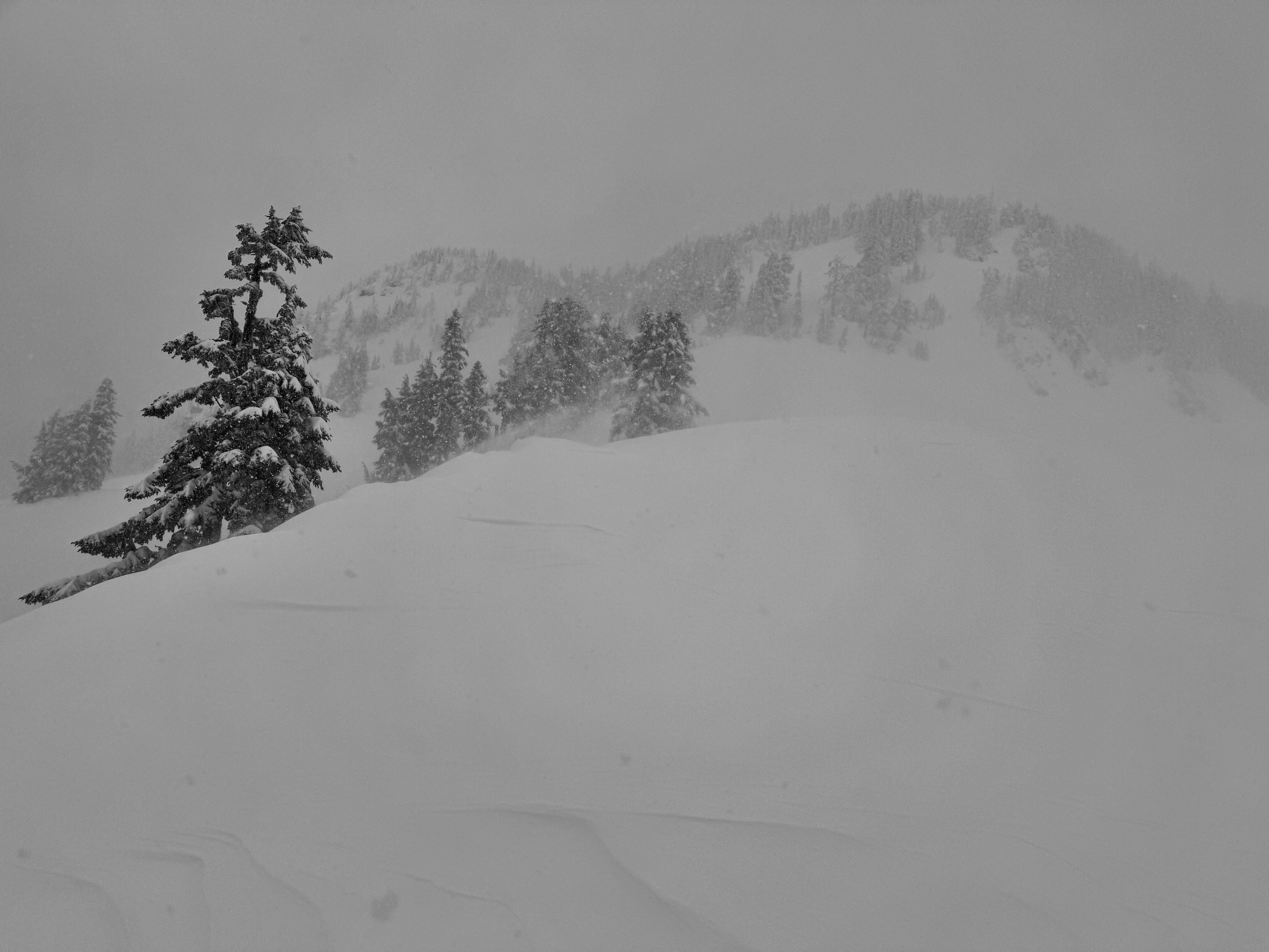
Scattered to broken skies in the morning became overcast to obscured around noon. Moderate wind out of the SSW was actively blowing snow along ridges and other exposed slopes.
Snowpack
There's a lot of new snow out there. Generally, we found about 2.5-3 ft (75-100cm) of recent snow over the 3/4 crust. Most of this has fallen since 3/8.
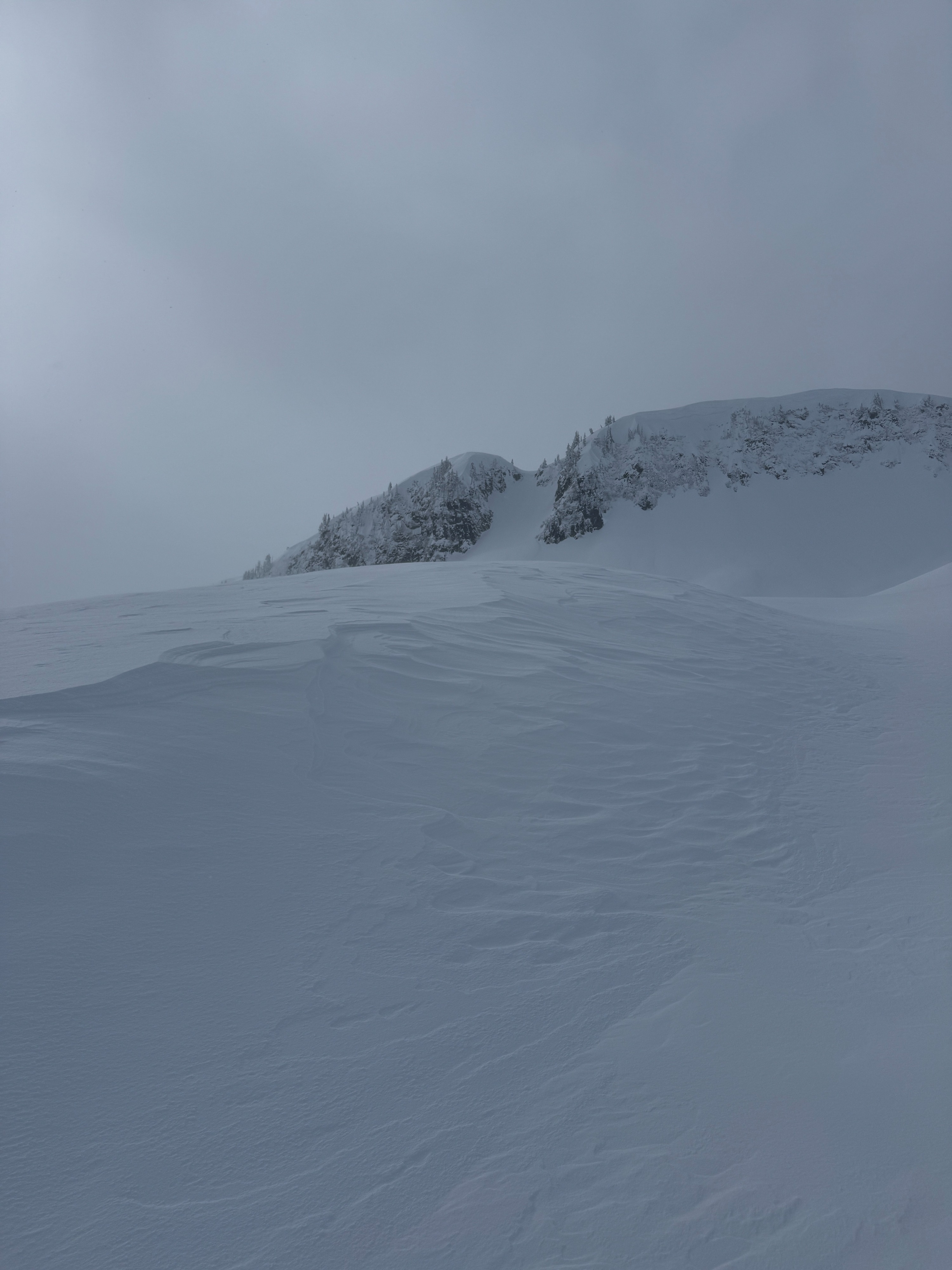
There was about 8 inches (20cm) of new snow from last night. This was the most reactive snow layer we saw today. While it would fail in snowpack tests (tilt tests, compression tests, extended column tests), it would only occasionally crack on test slopes and never fully failed (avalanches). Moderate to strong SSW winds had and were still redistributing the snow. There were plenty of scoured slopes, textured surfaces, and blowing snow. Hard, punchy wind slabs were common on the lee sides of ridge and mid-slope rollovers. Similar. to the new storm snow, we were never able to get these wind slabs to fail on test slopes.
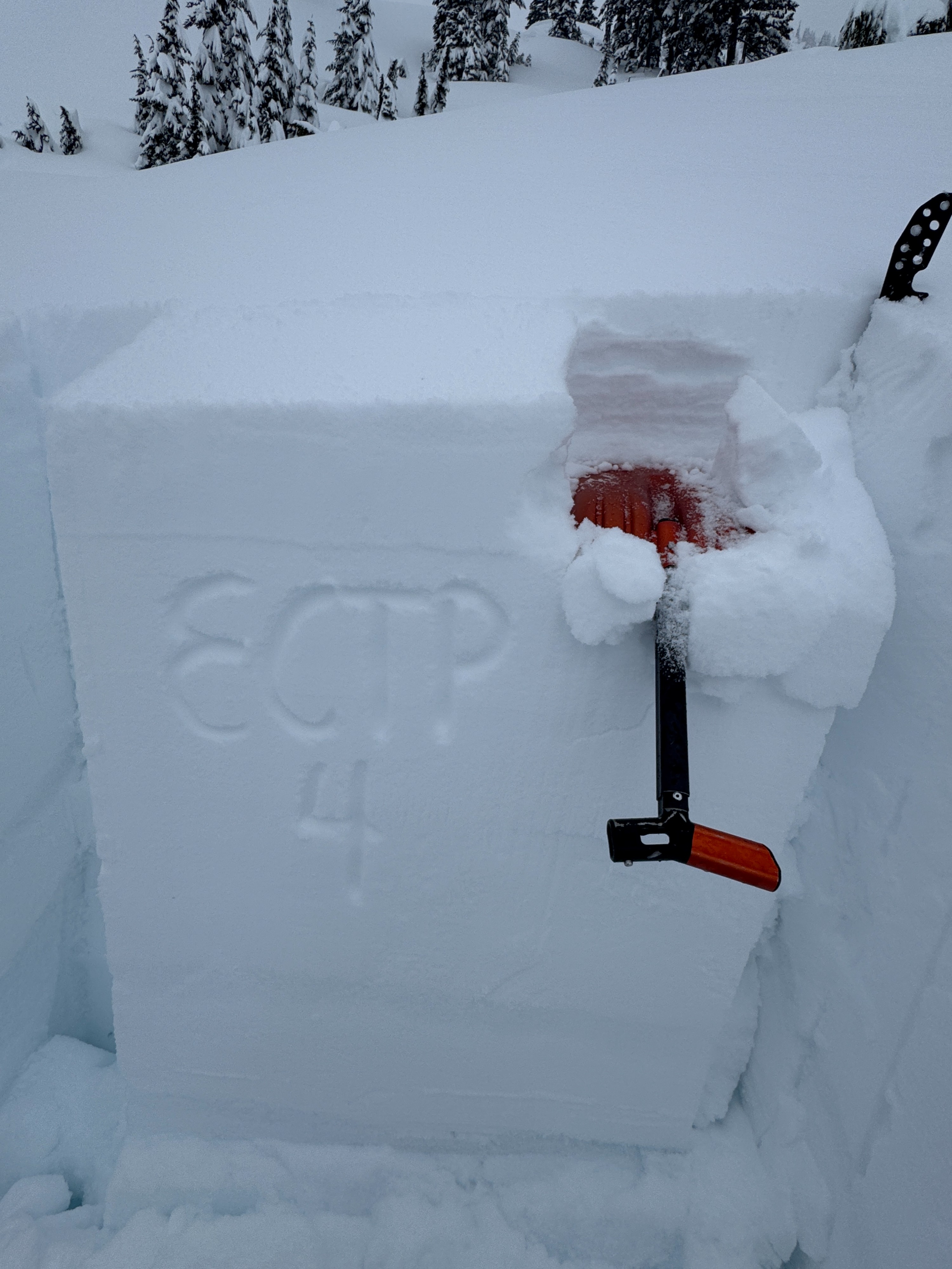
In two snow profiles (one S and one N) we could easily identify several other inter-storm layers. Generally, graupel or heavily rimed grains were found at these interfaces. These layers did not fail in extended column tests (ECTN).
Avalanche
- Size
- D2 R2
- Type
- SS
- Count
- 2
- Aspect
- E
- Trigger
- AS
- Elevation
- 5000 ft
Noticed 3 fresh avalanches and numerous older piles of debris in various stages of being buried by the fresh snow. -The largest avalanche was in the East Gully of Mt Herman and was reportedly remotely human triggered. -Another large avalanche was on Mazama Dome. -A small natural wind slab failed just below the saddle heading to Mazama Bowl. Due to poor visibility we were not able to get a photo of this one.