
Quick report
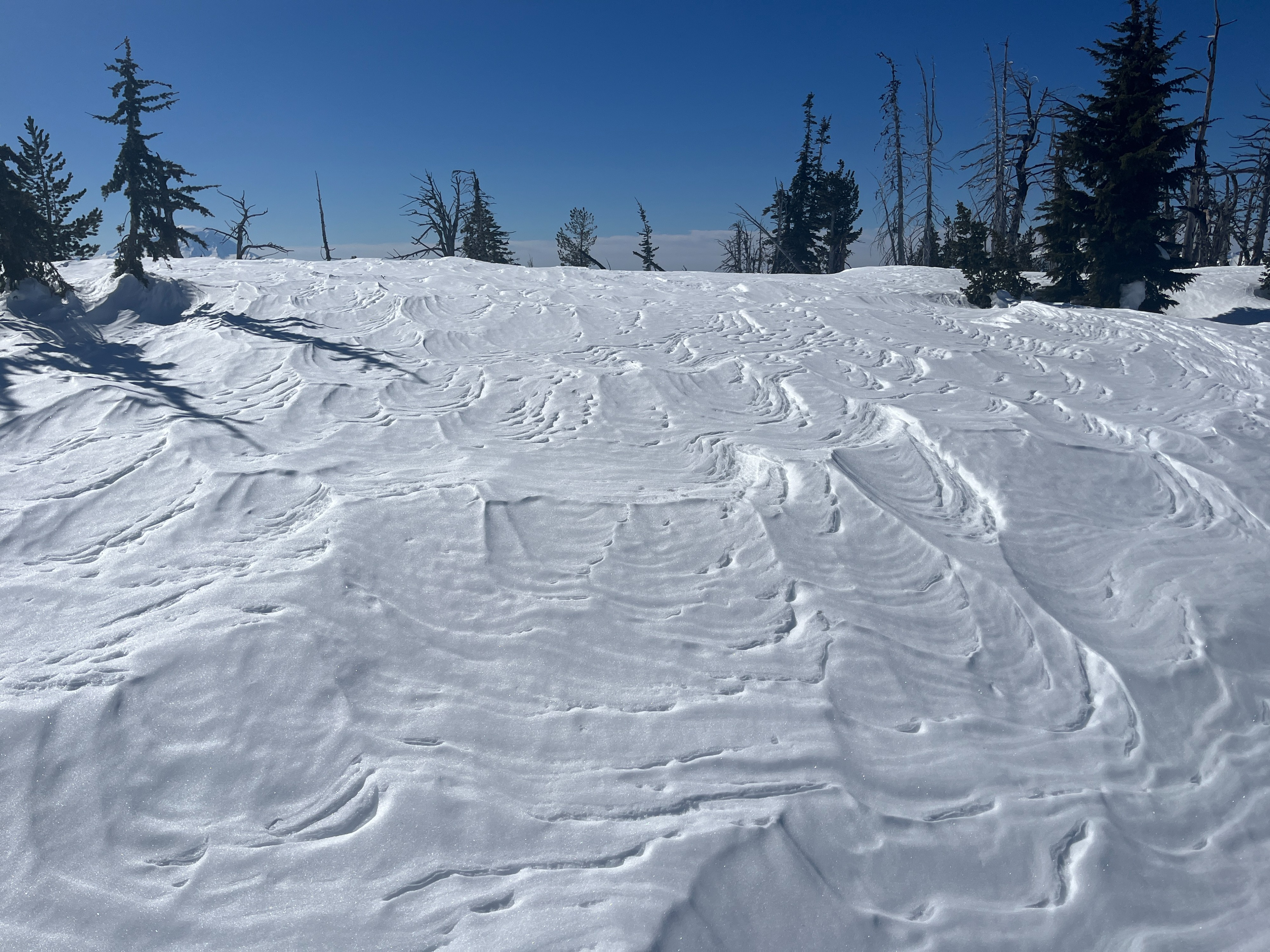
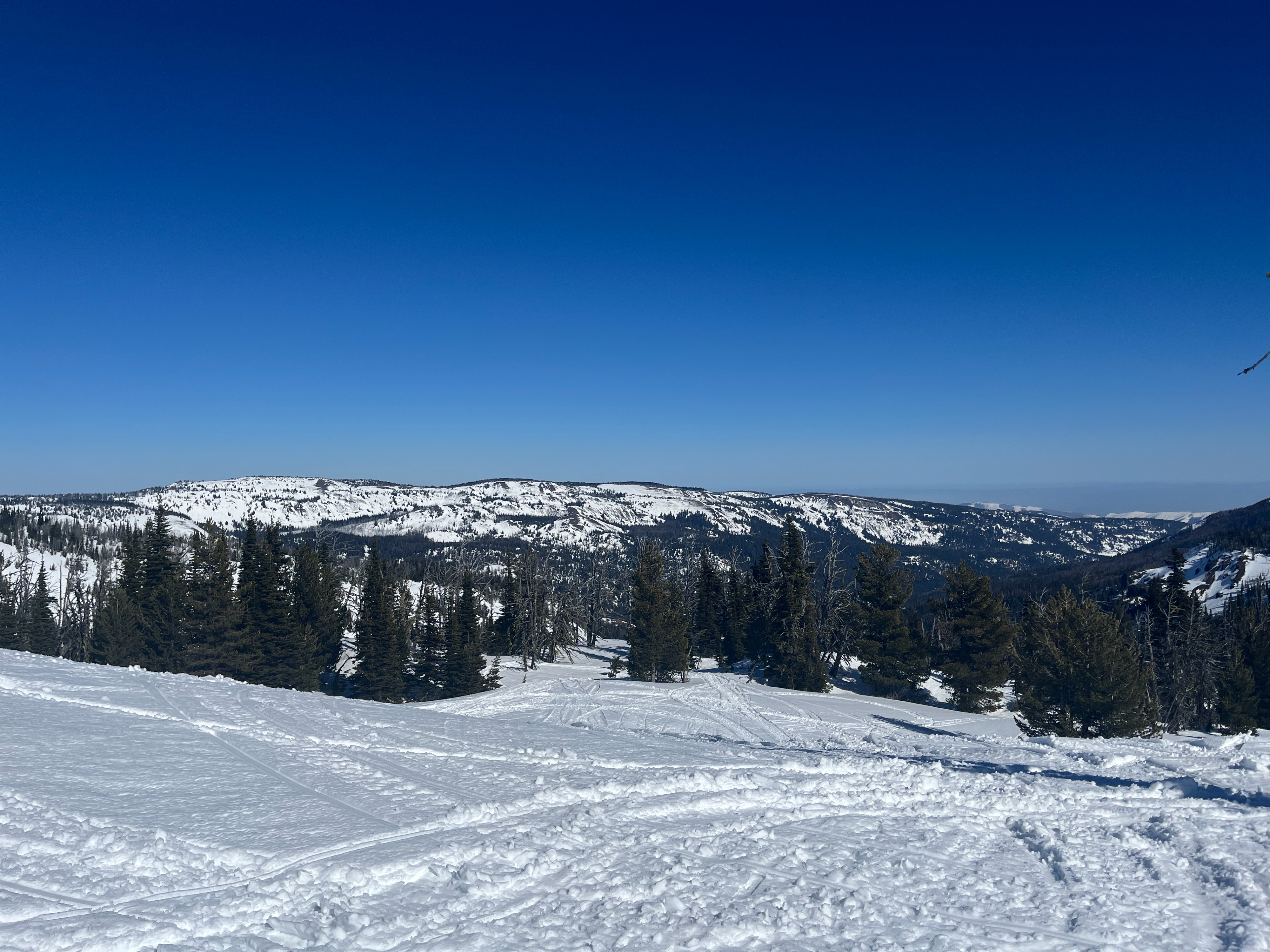
The East South zone is difficult to access and continually data poor due to lack of public observations. So you oftentimes aren't quite sure what you'll find once you finally do make it down there. Despite being a gorgeously spring-like day, I found little evidence of warming other than surfaces getting wet and sticky. Still though, surfaces were fairly supportable throughout the day. I did not observe any new or old wet loose avalanches, even looking through a scope. I did observe large old rollerballs off the groomed cat track. In my snowpit digging, it was interesting to find the most well developed facets on an exposed, southerly aspect. Alternatively, it was great to see the January Drought Layer nearly fully healed on colder aspects.
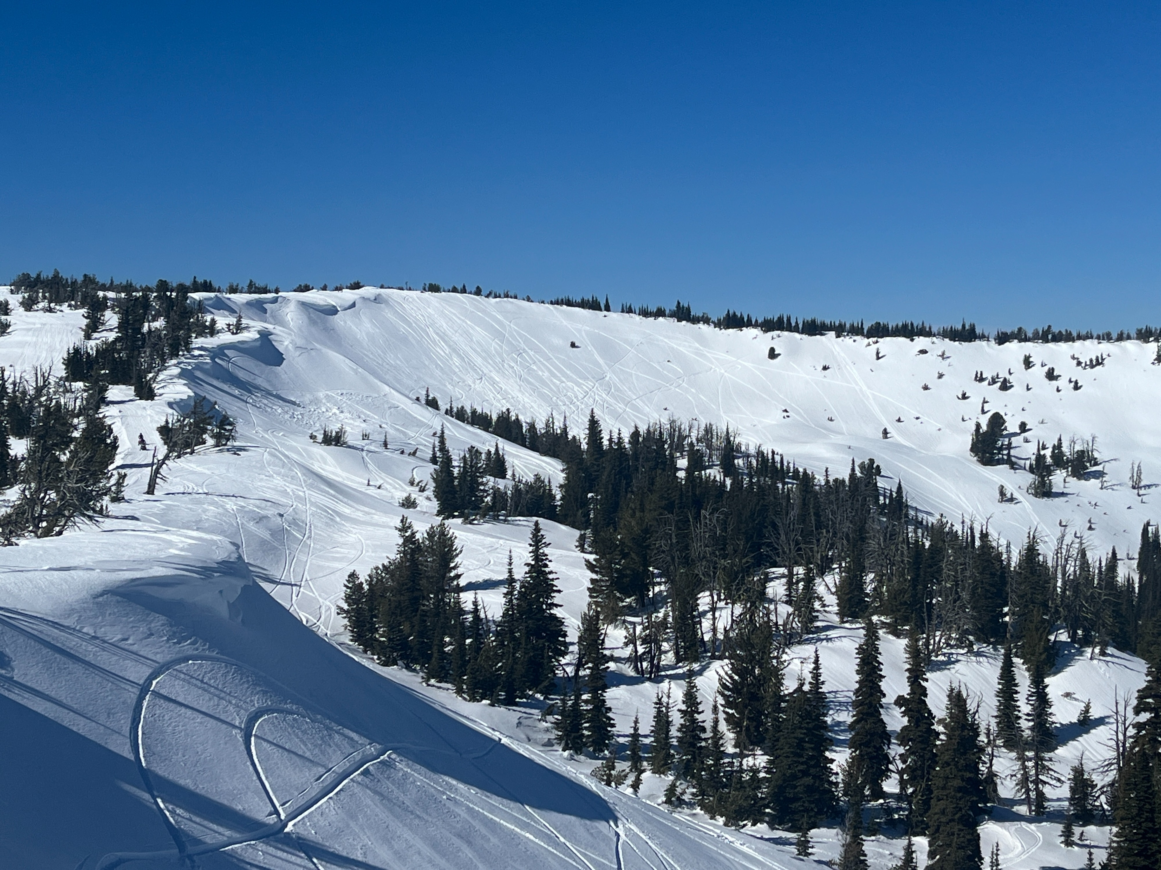
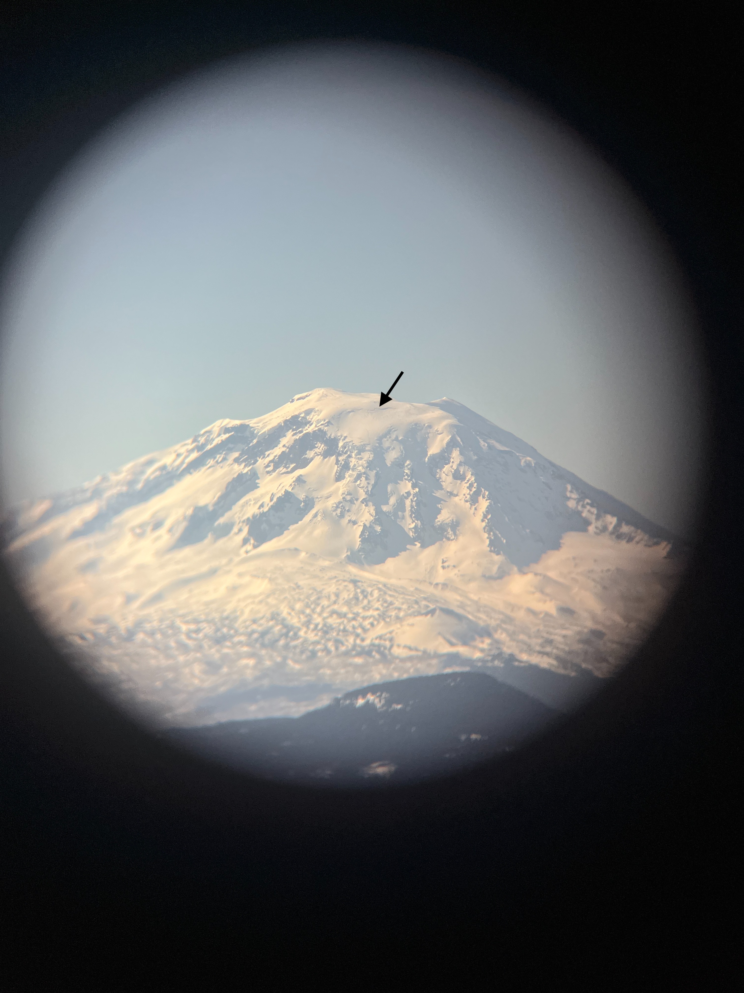
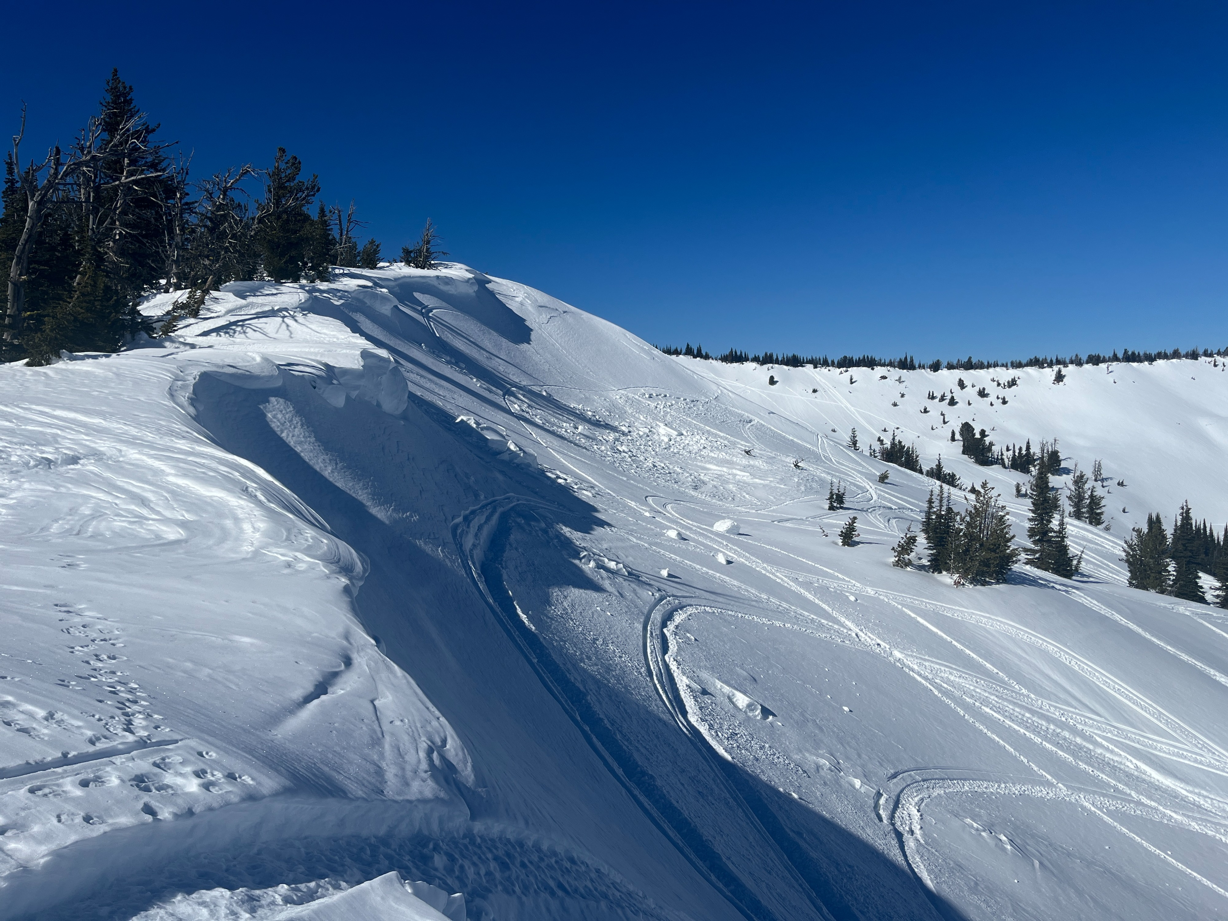
I observed a very large crown on the northeast side of Mt. Adams but the date is unknown. I also observed cornice fall along the northeast side of the ridgeline in Super Bowl but the date and trigger is also unknown. It looked relatively old.Weather
- Air Temp
- 38-43
- Cloud Cover
- clear
- Wind Loading
- none
- Recent Snowfall
- 0
- Snow Avail For Transport
- none
My drive started out in an inversion that broke away once I turn off hwy 90 and headed towards Yakima. The sky was clear and the wind was calm with some occasional light ridgeline gusts. Temperatures rose above freezing early in the morning. I recorded 43 degrees F around 2pm and it likely got a bit warmer still after that.
Snowpack
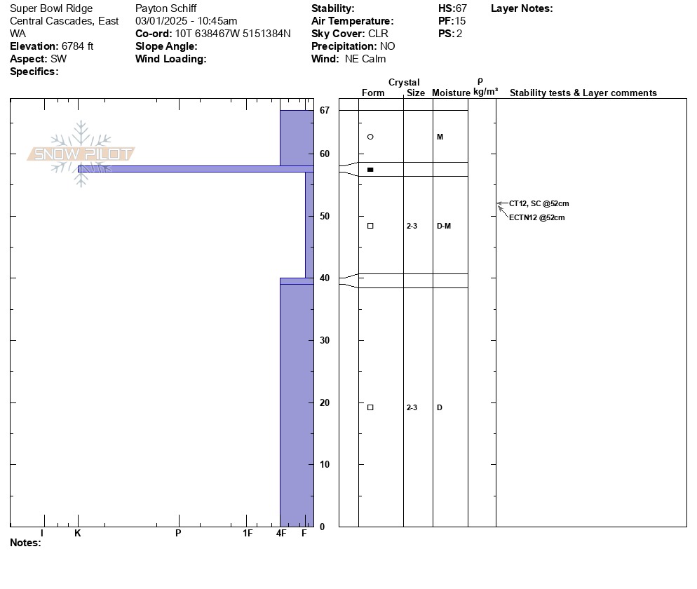
I dug my first pit on a southwest aspect at 6784 ft. The depth of this pit was 26in/67cm. This area was near ridgeline and probably sees wind scouring regularly. I found about 4in/10cm of moist snow overlaying ice lenses and large faceted snow grains. I performed a compression test and an extended column test and got results on the same tap at the same depth within a layer of facets (CT12SC, ECTN12).
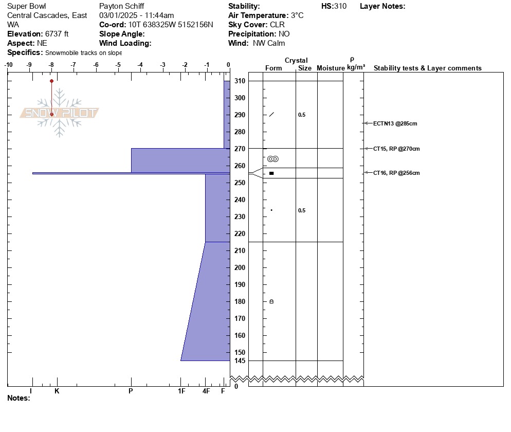
I dug my second pit on a northeast aspect at 6737 ft. The depth of the snowpack at this location was 122in/310cm and the depth of my pit was 65in/165cm. I found a 16in/40cm fist hard slab of decomposing fragments overlaying a very robust crust layer from previous warming/rain. Underneath this crust was rounded grains and rounding faceted particles that were borderline just rounds. I performed a compression test and got resistant planar results above and below the crust (CT15RP, CT16RP). I performed an extended column test and got moderate, non-propagating results within the surface slab (ECTN13).
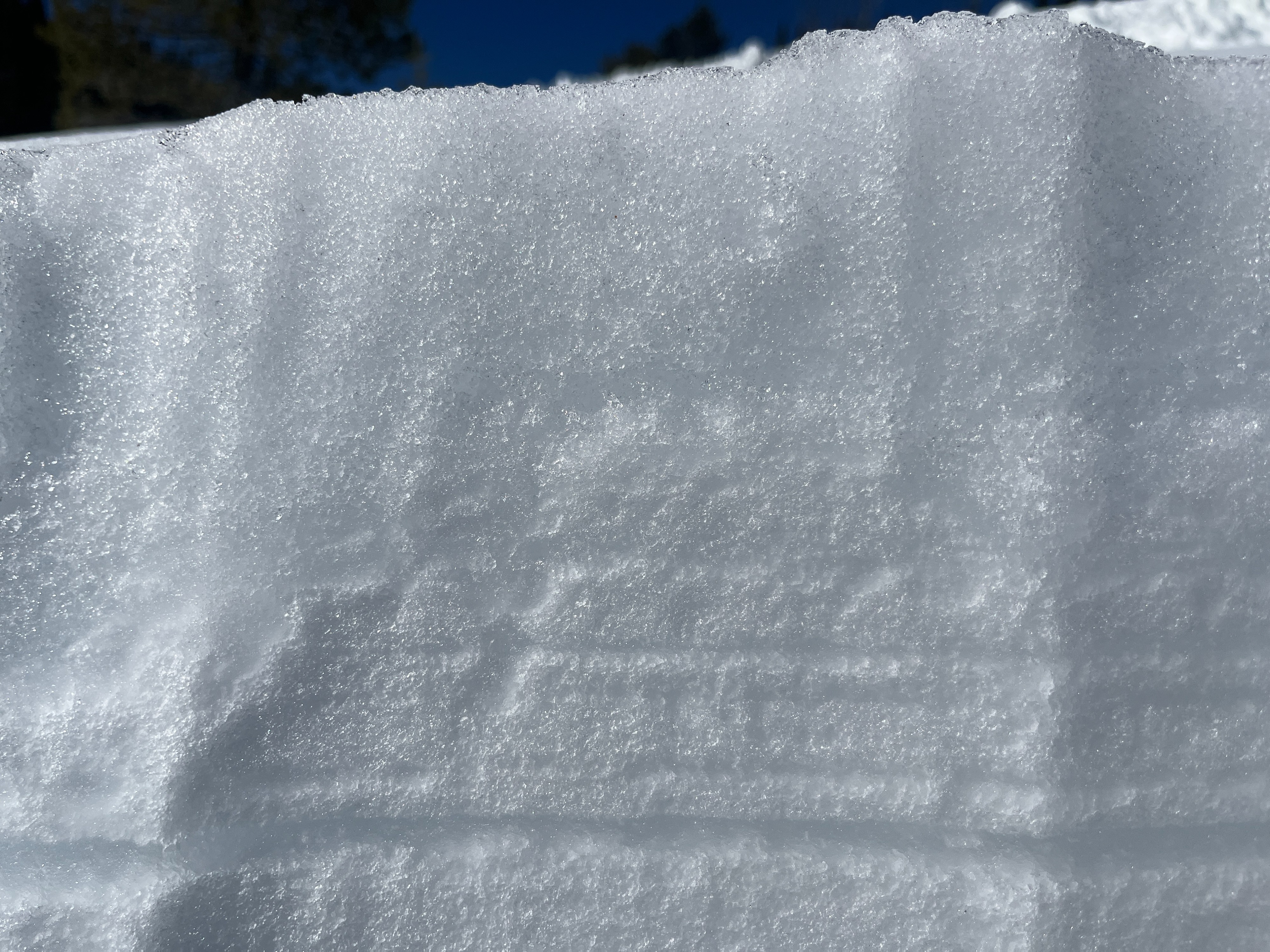
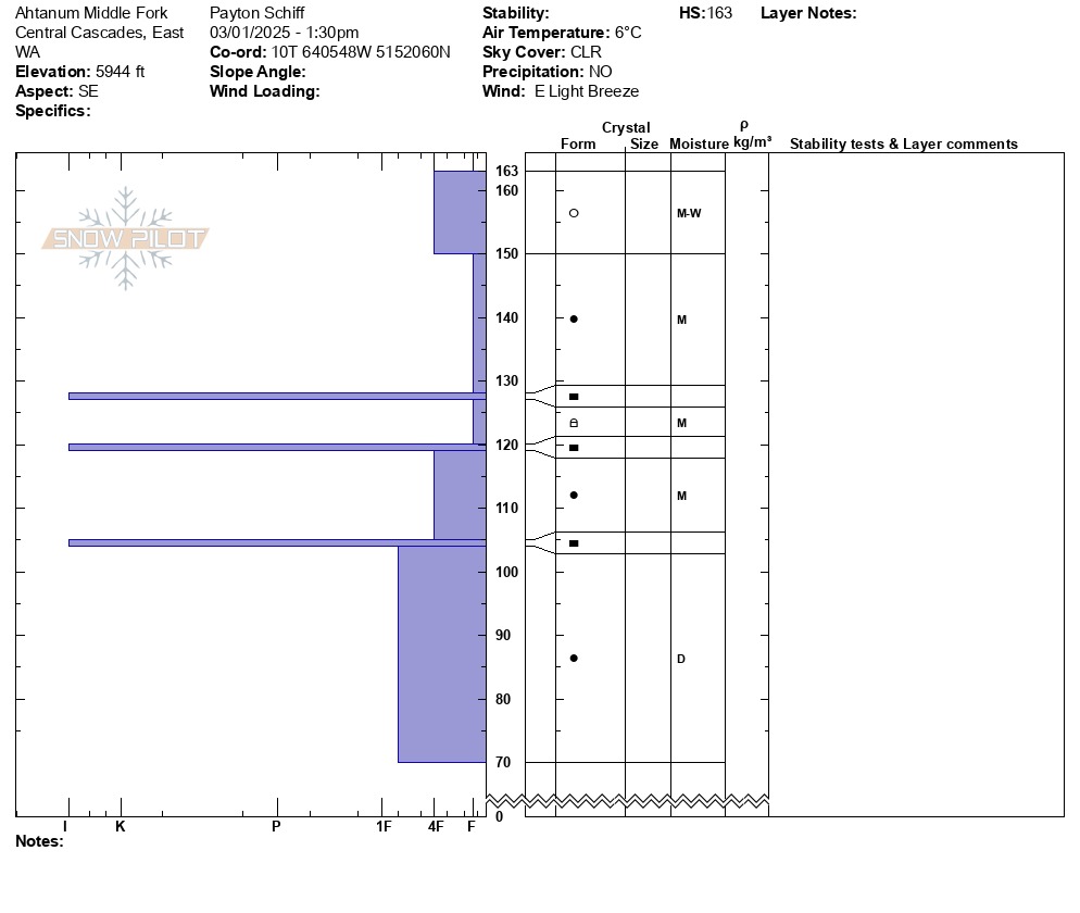
I dug my third pit on a southeast aspect at 5944 ft. The depth of the snowpack at this location was 64in/163cm and the depth of my pit was 37in/93cm. As it was later in the day at this point, I unsurprisingly found a deeper layer of moist snow bordering on wet. Below this was ice lenses with either rounded grains or nearly totally rounded facets. The snow was moist down to 41in/104cm.
Some quick probing at 4780 ft on a shaded flat meadow revealed an average snow depth of 43in/110cm-51in/130cm.