
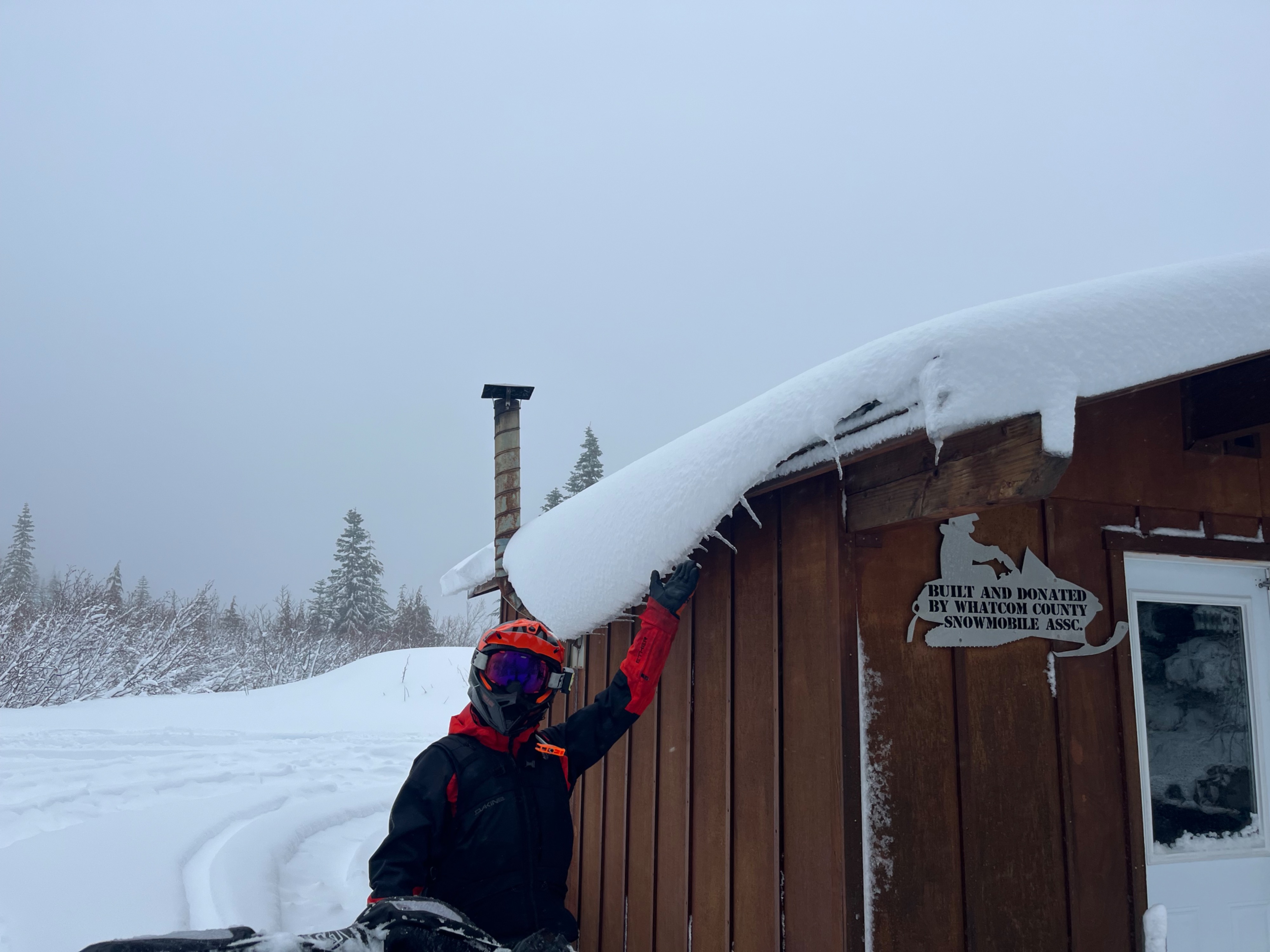
Quick report
We weren't traveling in avalanche terrain and was unable to see any avalanche activity, except for others who traveled to upper elevations and noted finding a natural slab avalanche that had occurred along an upper elevation wind-affected ridgeline.
While investigating the new snow layer our main concern was a subtle hardness change, with lighter snow at the bottom of the soft new snow layer that failed in tests.
A slight temperature increase midday at 4300ft caused the top foot of snow to become "upside down", with a heavier, moist, top few inches of snow developing.
Weather
- Cloud Cover
- obscured
- Wind Loading
- none
- Rain Elevation
- 3500
- Recent Snowfall
- 28
- Snow Avail For Transport
- large amounts
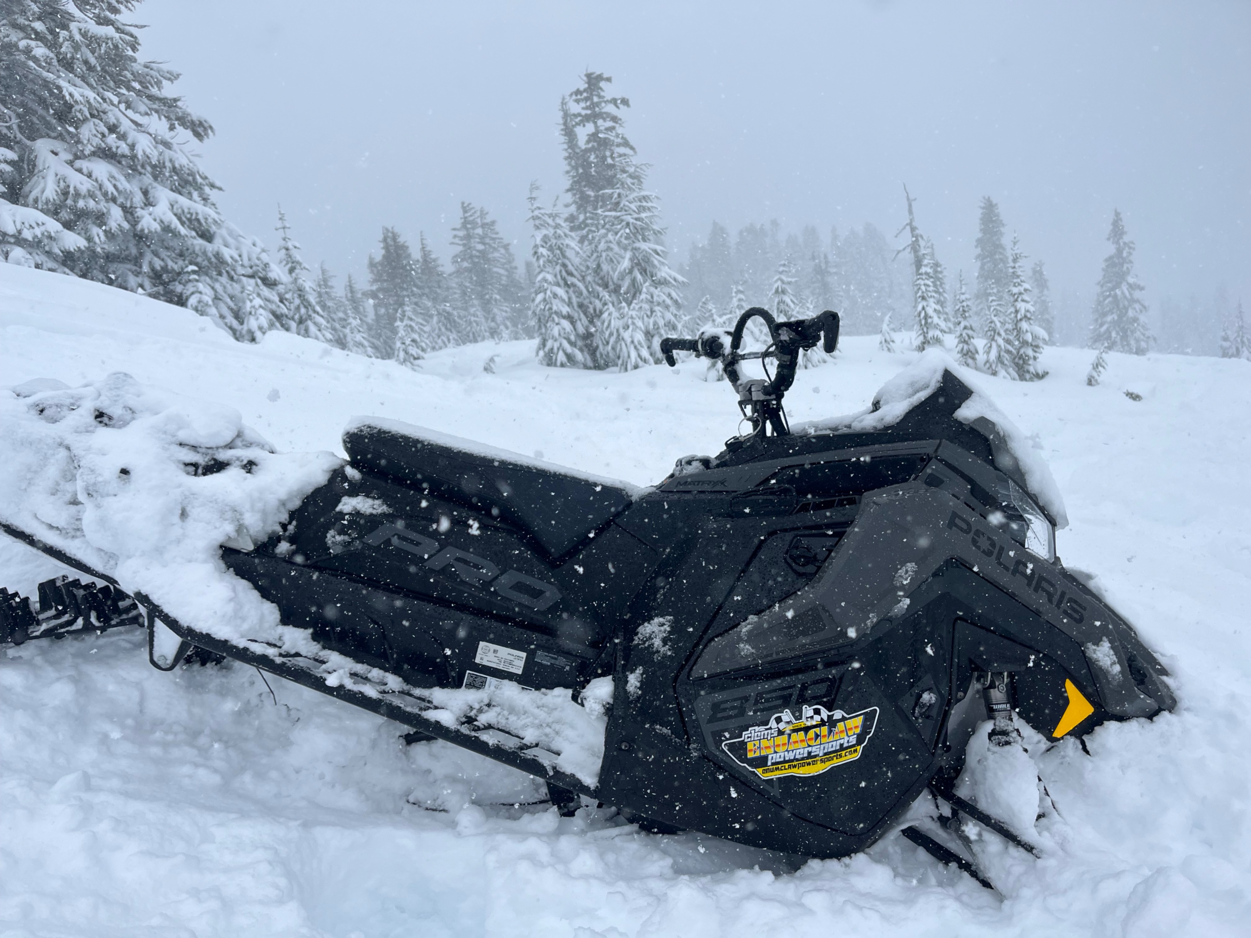
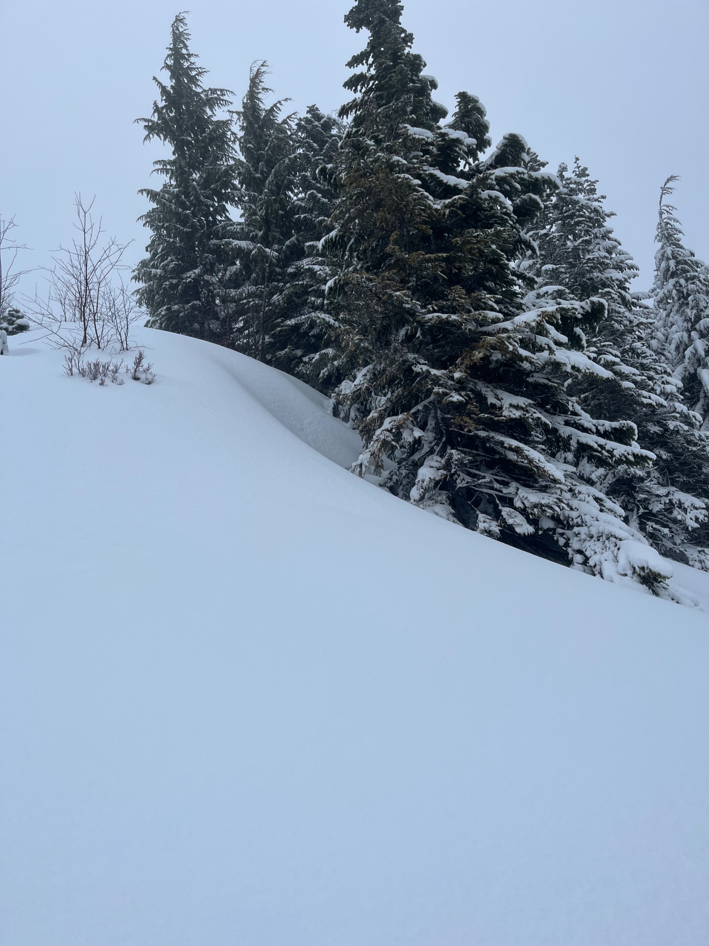
Moderate snowfall through the morning, with temperatures right around freezing- snow landing on us immediately melted. Midday at 4300ft precipitation shifted to tiny sleet pellets. Where we traveled was mainly sheltered from the wind, but exposed ridgelines and features had noticeable wind-effect.
Snowpack
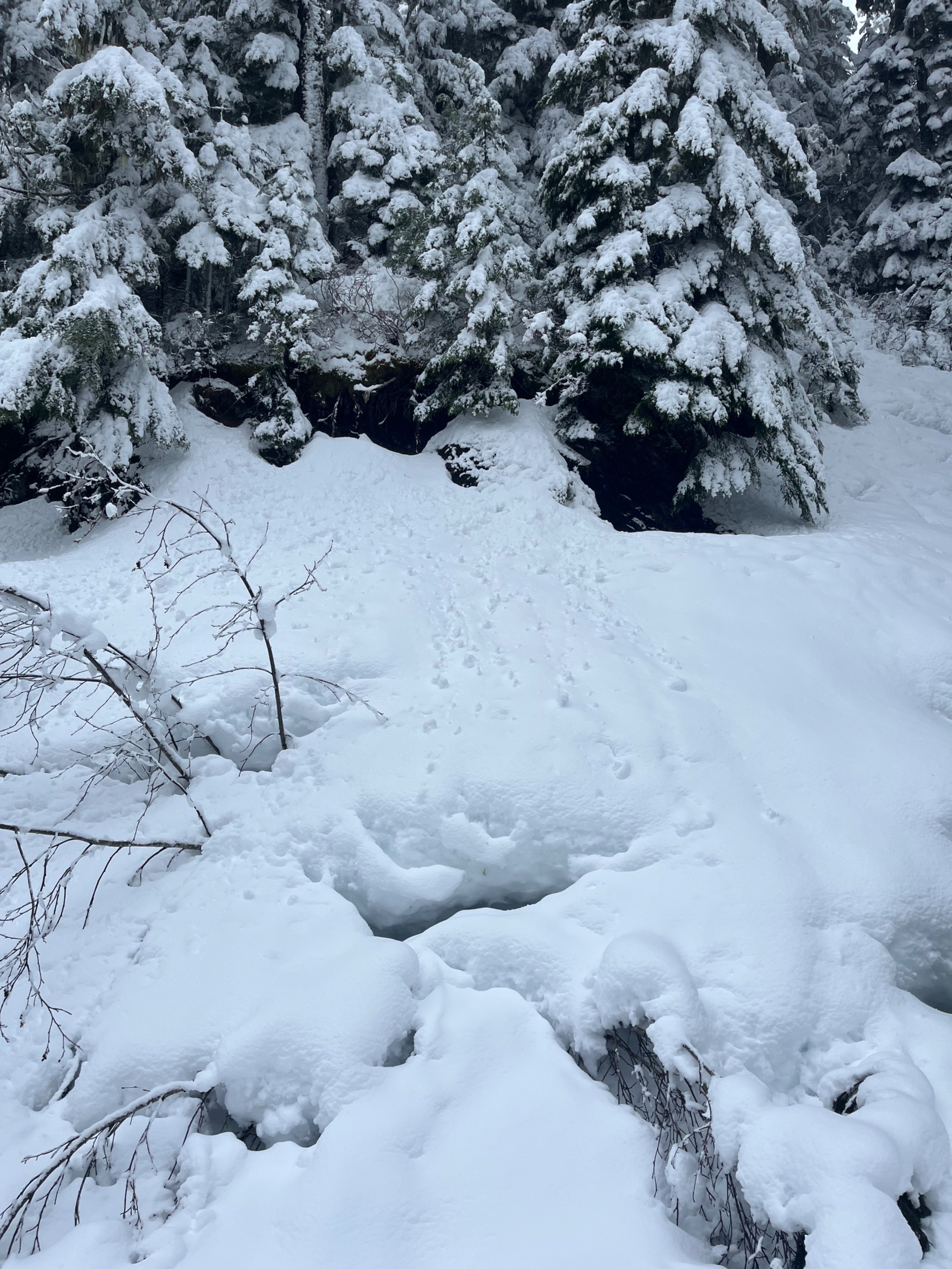
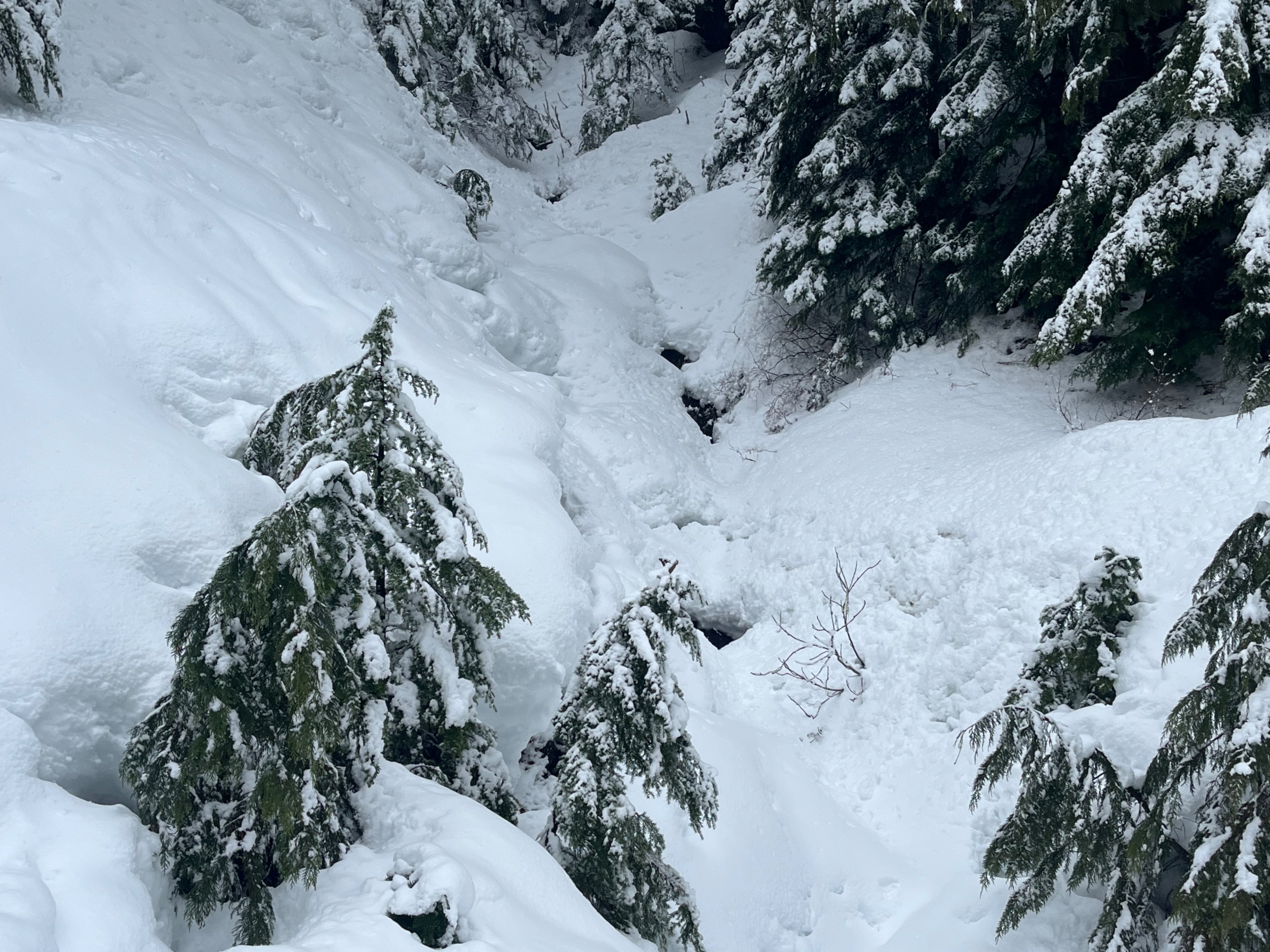
Snowline has gone up extensively since last week. Below about 3500ft there was plenty of snow on the open, groomed road but there was no visible snow on the ground in the heavy tree cover to the sides of the road until above 4000ft. Snow cover from 4500-5000ft was in the 3m range +/- 1m.
There was a consistent coating of just under a foot of low-density snow from the previous night over a thin crust from about 4000ft and up. Our feet easily broke through the crust, and it was deep. Foot penetration was about 70cm.
The snow was mainly right side up in the wind-sheltered location where we were, but a soft, subtle layer of softer snow just above the crust failed with moderate taps in compression tests and with shovel tilt tests. By midday, temperatures had noticeably increased a couple degrees.The top few inches of snow had become heavy and moist, creating an upside down snowpack at 4300ft. Friends who traveled to above 5500ft midday noted that the moist upper layers we found lower were absent at the higher elevations. They also noted a little wind-effect up higher, along ridgelines.
Avalanche
- Size
- D2
- Type
- SS
- Aspect
- NW
- Trigger
- N
- Elevation
- 5800 ft
One avalanche was observed by other party members after we divided. This was a D1.5-2 soft slab with subtle wind-effect along the ridgeline at 5800ft, NW aspect.